Get Lost Mountaineering
You are here: Scotland » 07 Glen Shee, Cairn O'Mount and Glen Clova to Glen Esk » Glen Isla to Mount Keen & Mount Battock
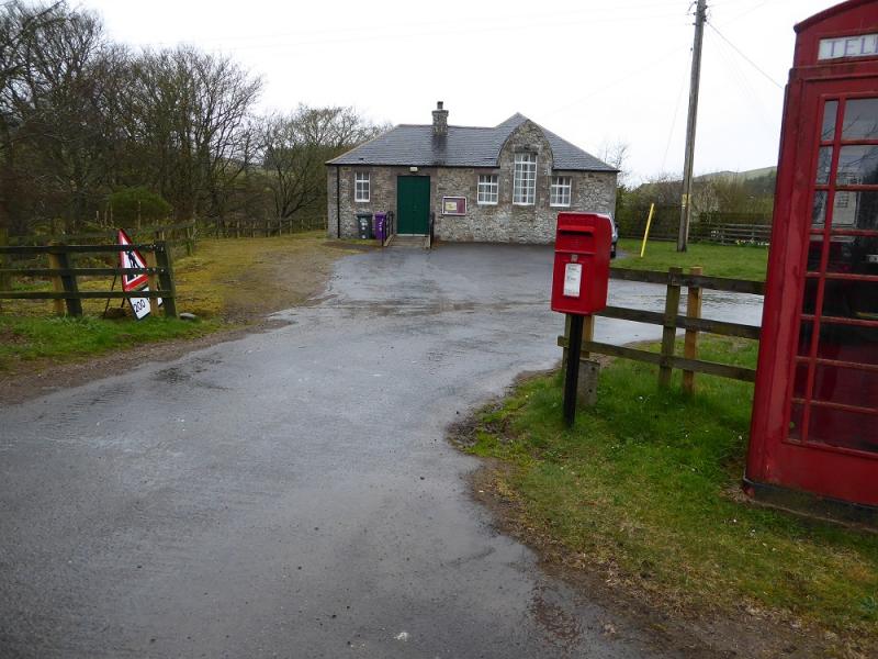
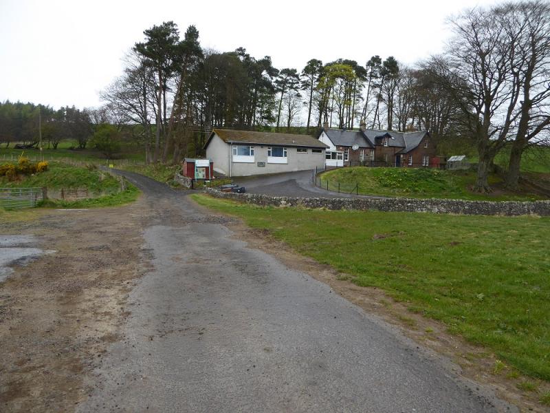
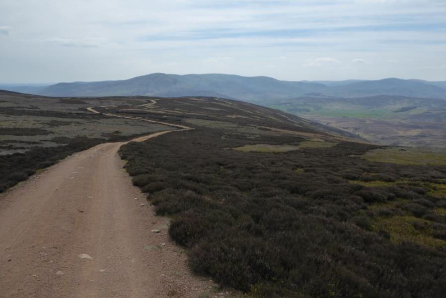
Hill of Wirren from Bridgend
Hill of Wirren from Bridgend
Start/Finish
Bridgend which is about 11 miles north west of Brechin. It is a tiny hamlet but has a primary school at NO 537 686. Upon entering the hamlet, often by a bridge, there is a phone box. Opposite this is what seems to be a community hall; some may mistake this for the school but this is much larger and about 100 m further. There is substantial off road parking before the school.
Distance/Time
15 km. About 5 – 6 hours
Peaks
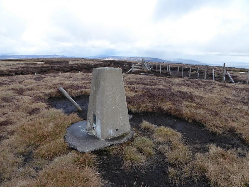
Hill of Wirren, 678 m, NO 052 739. OS sheet 44: Ballater.
Introduction
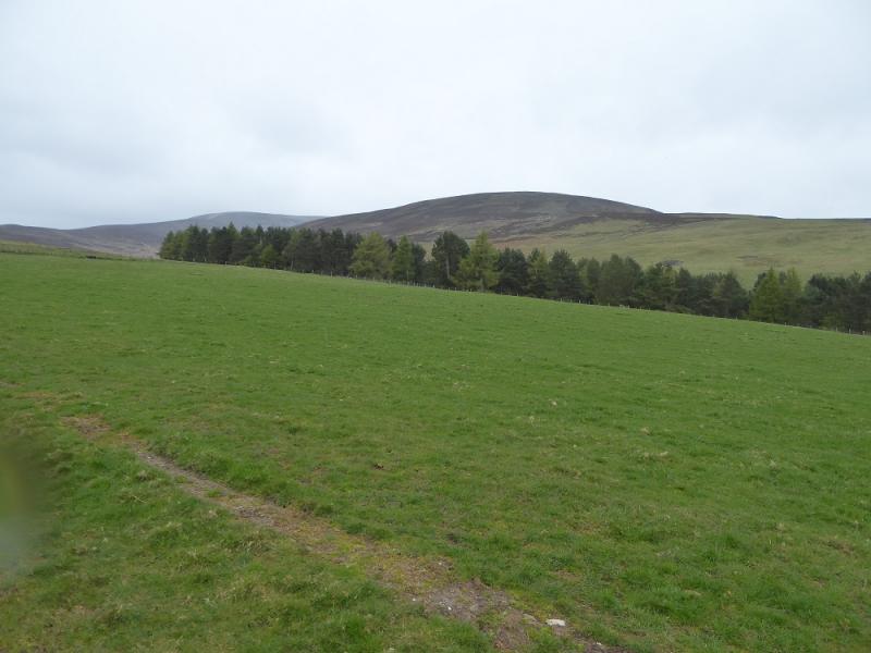
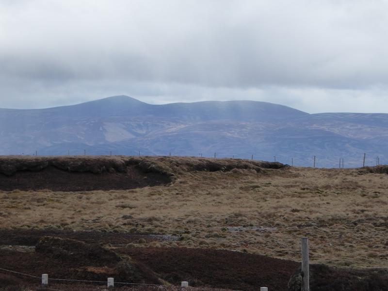
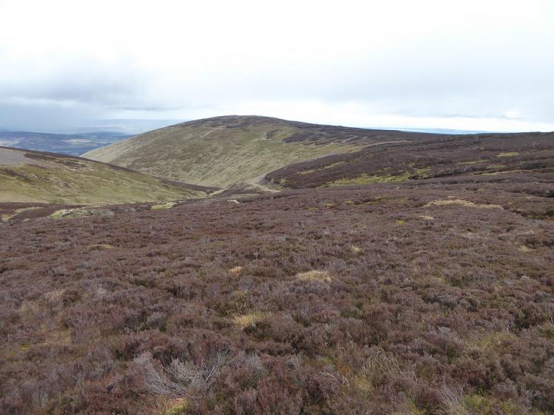
This is a pleasant walk which offers good views from the summit to Lochnagar, Mount Keen and Mount Battock although it needs to be a very clear day to see Lochnagar. There are also good views to the coast. Note that there are many tracks not shown on maps and this route uses some of them!
Route
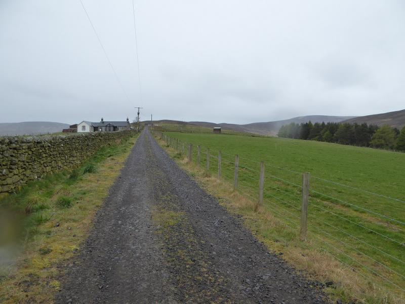
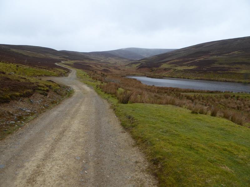
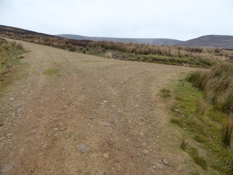
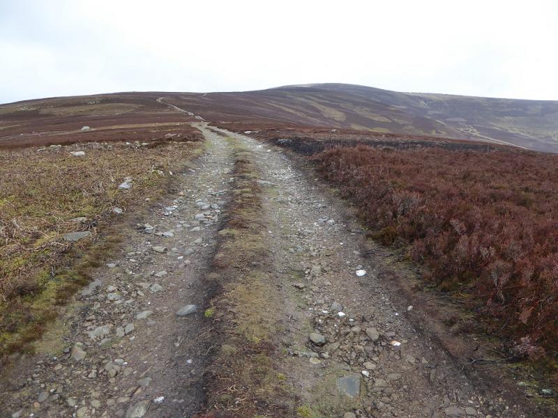
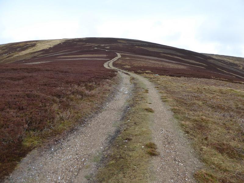
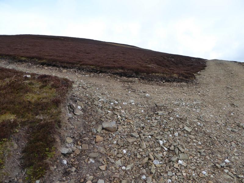
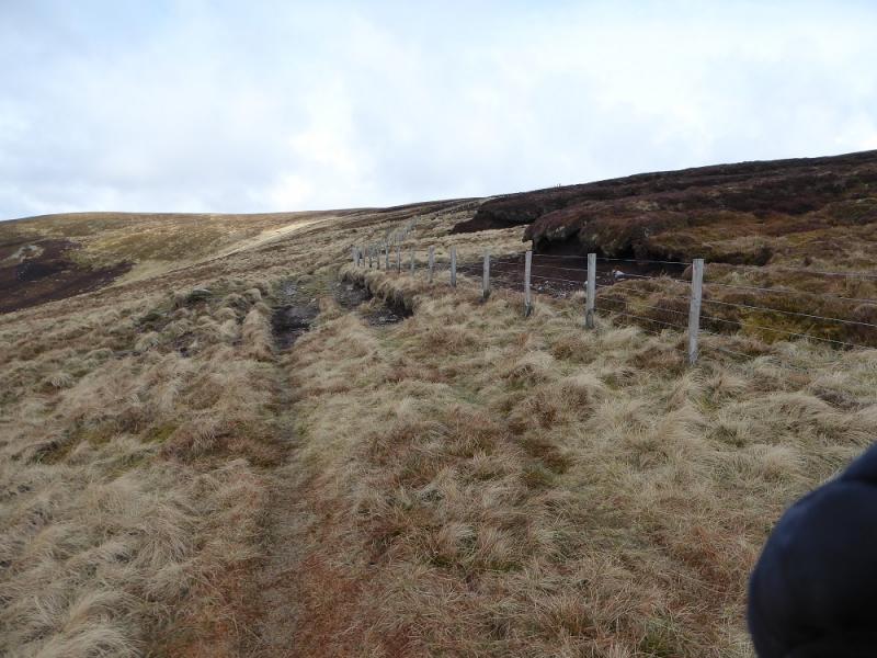
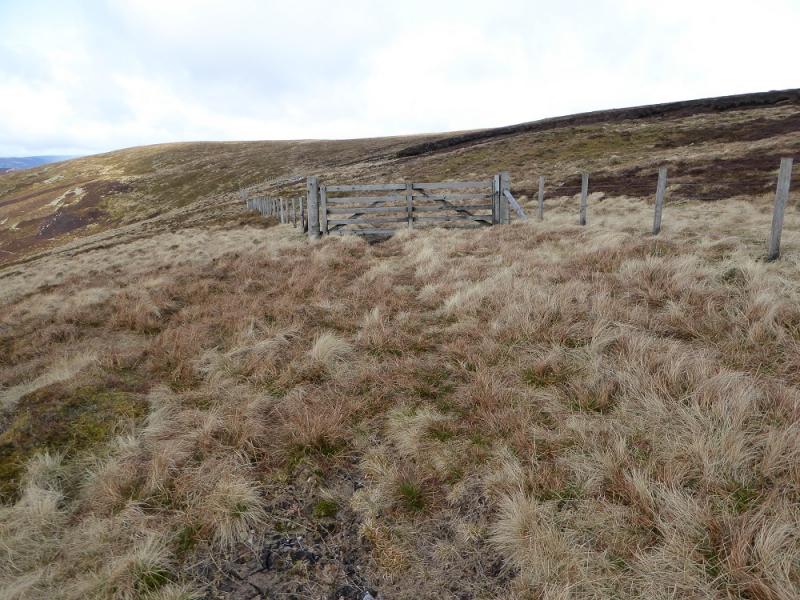
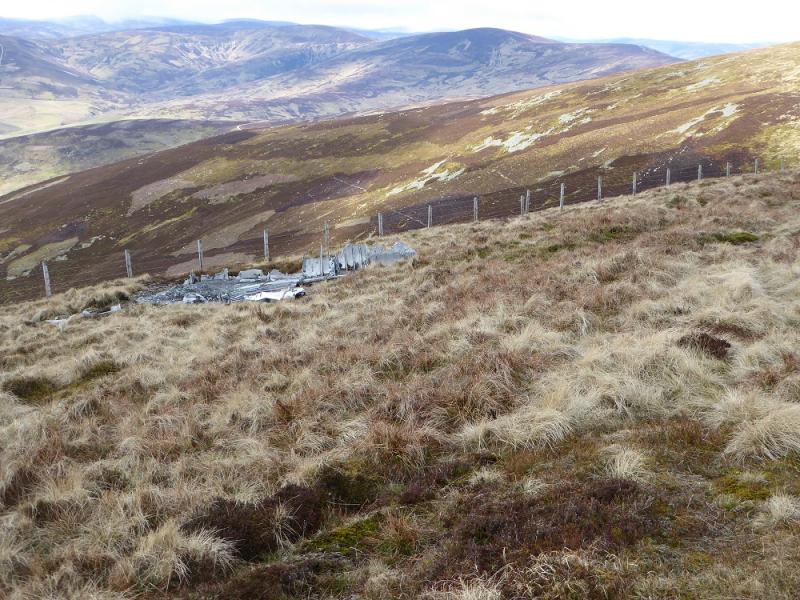
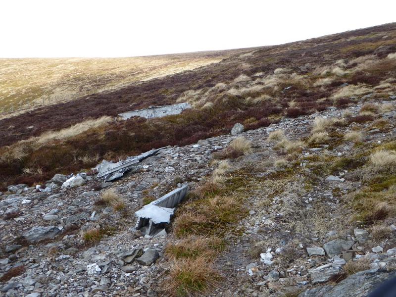
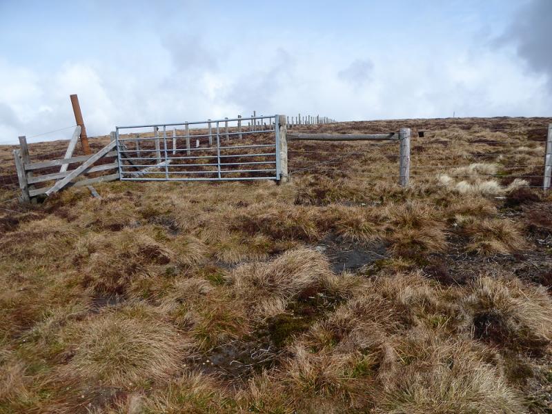
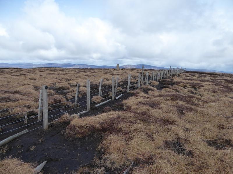
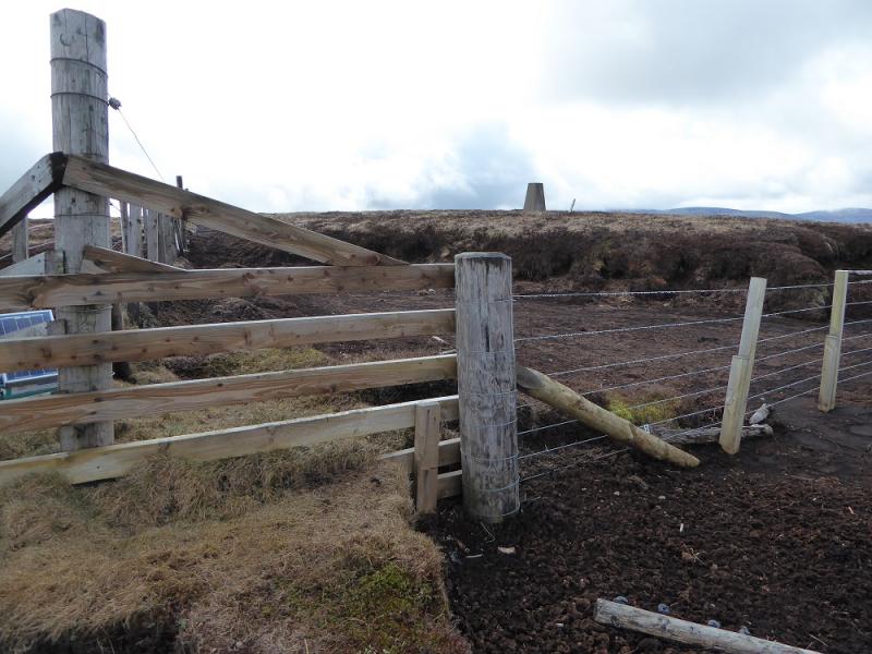
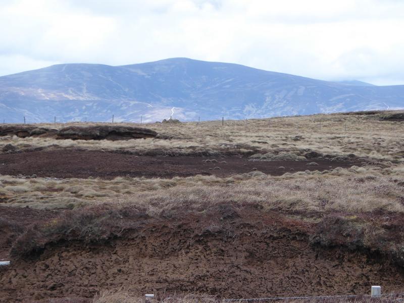
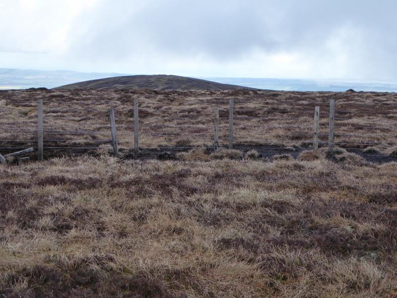
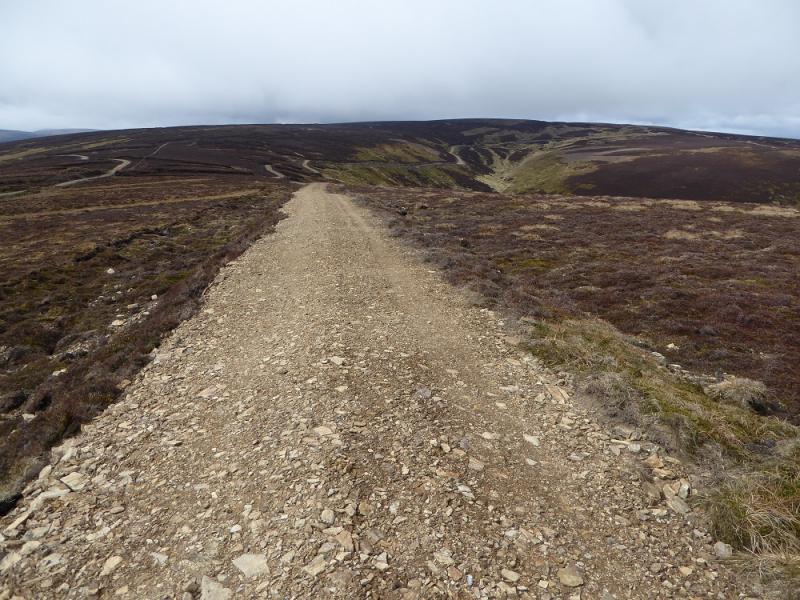
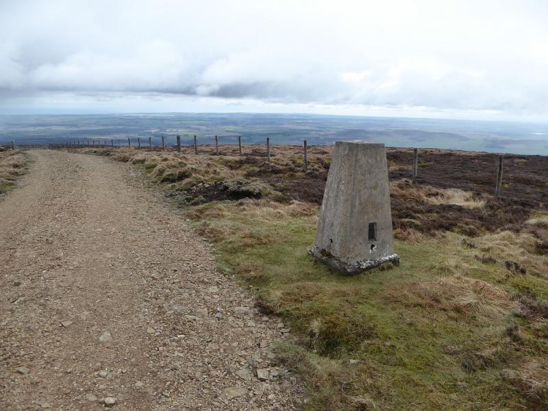
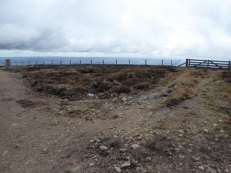
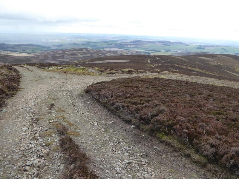
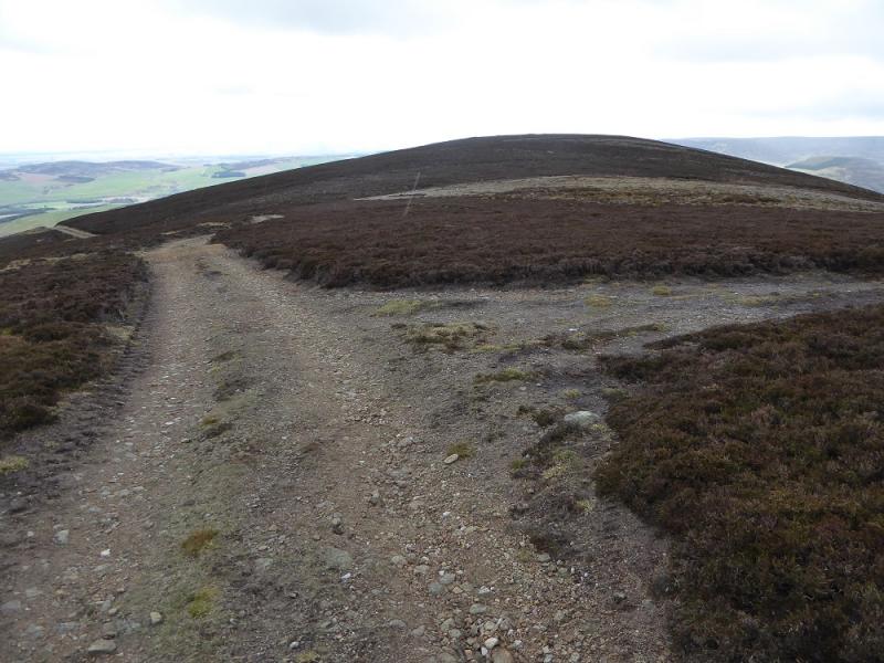
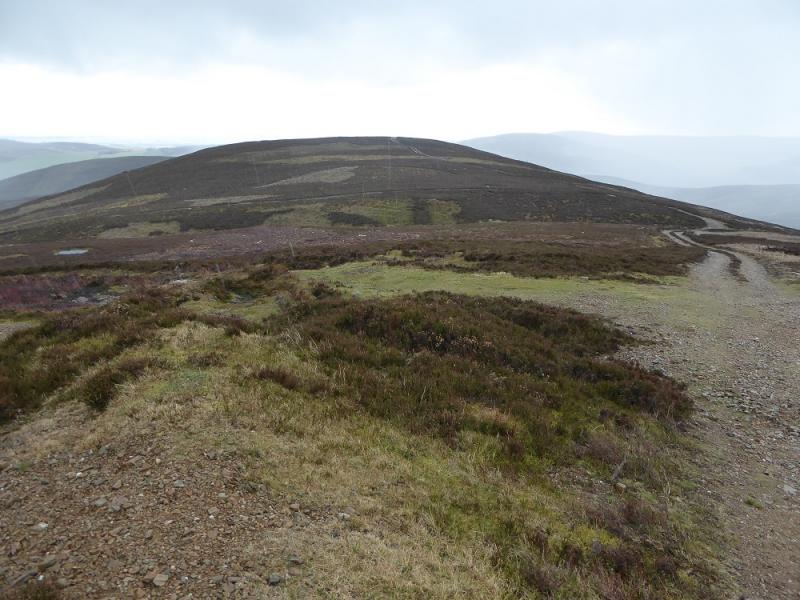
(1) Walk up the obvious track to the left of the school. This zig zags up then straightens to reach the cottage complex at Dikehead. Continue, but before the barn is reached, take the right fork on the track then an immediate left fork onto a track which heads up the glen. Further on, ignore a right fork and continue, more steeply, up on to the crest of the S ridge. Follow this to a junction just below the plateau. Go left on a track which climbs fairly gently. A fence gradually converges from the right. This fence leads to the summit. Continue, crossing the fence at a gate. Soon after, pass some old aircraft wreckage after which the track has almost disappeared. Continue following the fence and pass through a gate by a T junction. Continue following the original fence and pass the trig point (on the other side of the fence). The fence is now electrified so go a little further to a corner where a wooden section can be climbed over and the trig point reached which is the summit of the Hill of Wirren, 678 m.
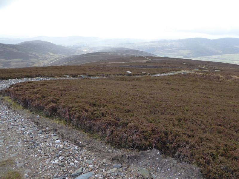
(2) The other fence at the recently passed T junction can be followed across peaty ground towards East Wirren. Alternatively, for a cleaner route, head E and follow the track around the eastern corrie which leads all the way to the trig point. More height is lost this way but it is certainly easier! The trig point is not the highest point on East Wirren, that is about 300 m to the W and will be passed whichever alternative is chosen.
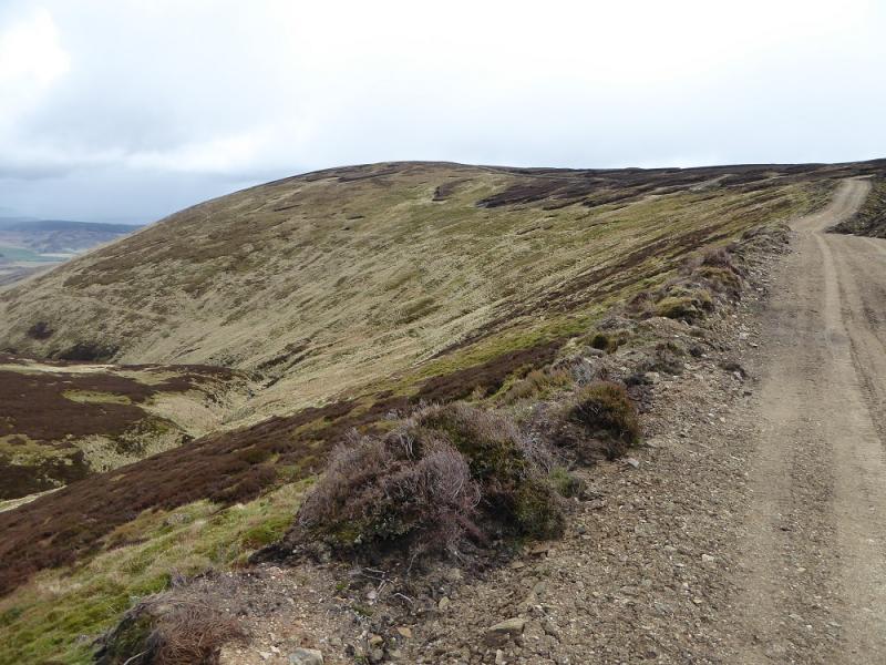
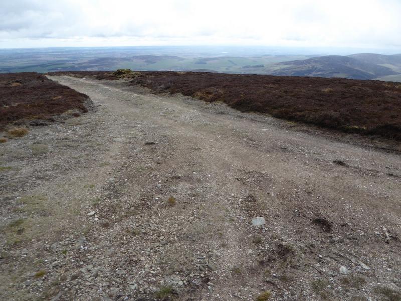
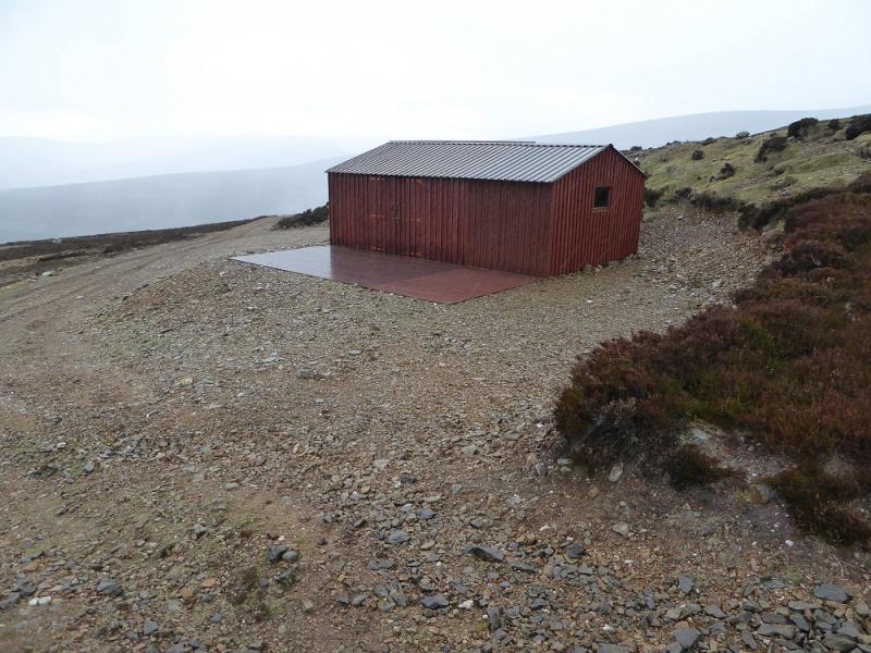
(3) Retrace a few metres from the trig point to a rougher track and immediately go through a gate to join another major track which which heads down the S ridge. Stay with the track closest to the crest and then stay with it when it passes to the left of a lower top. The track then reaches a large modern hut near the col before Craig Narb. Take the track on the right after the hut and follow it down into the glen. The stream is crossed at an easy ford with other options available upstream after heavy rain. Follow the track to rejoin the outward track then retrace back to the school.
Notes
(a) This walk took place on 16th April, 2017, and about 15 years earlier when a shorter and steeper ascent was made from Auchowrie to the west of the hill.
Photos - Hover over photo for caption. Click on to enlarge. Click on again to reduce.