Get Lost Mountaineering
You are here: England » Lancashire » Pendle Hill
Pendle Hill, Pendle Moor & Ogden Clough from Barley
Pendle Hill, Pendle Moor & Ogden Clough from Barley
Start/Finish
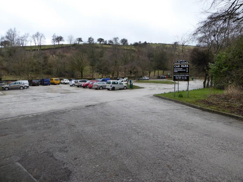
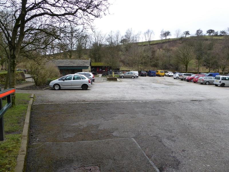
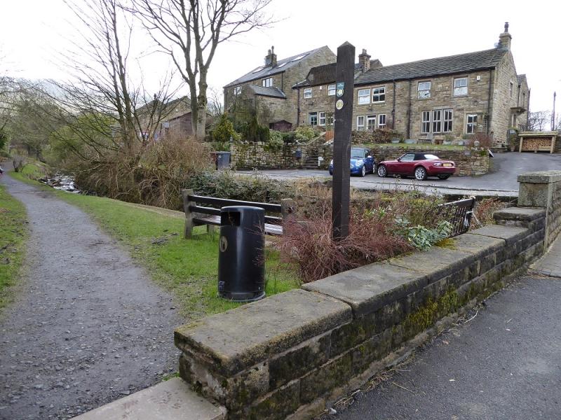
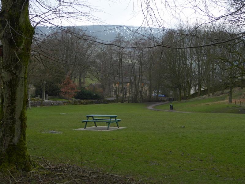
Barley village car park which was only £1 per day on 23/4/17. The car park is at SD 823 406 and its approximate post code is BB12 9JX. There are many routes to Barley but expect some narrow roads close to the village! Barley is west of Colne, north of Padiham, east of Clitheroe and south of Gisburn.
Distance/Time
11 km. About 4 hours.
Peaks
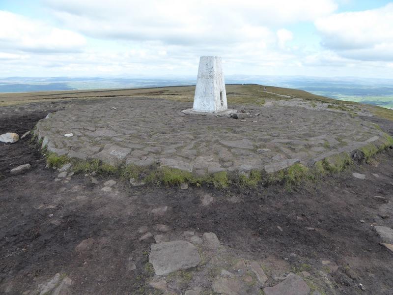
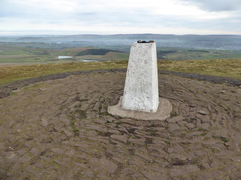
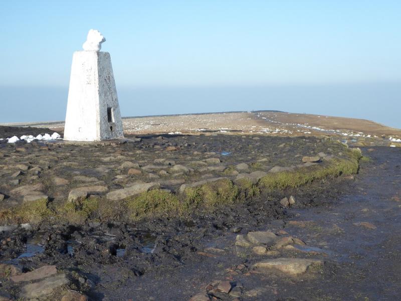
Pendle Hill, 557 m, SD 804 404.
OS 103: Blackburn, etc. OL 21: South Pennines.
Introduction
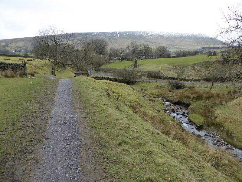
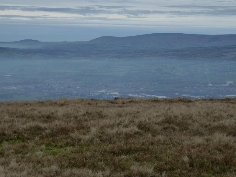
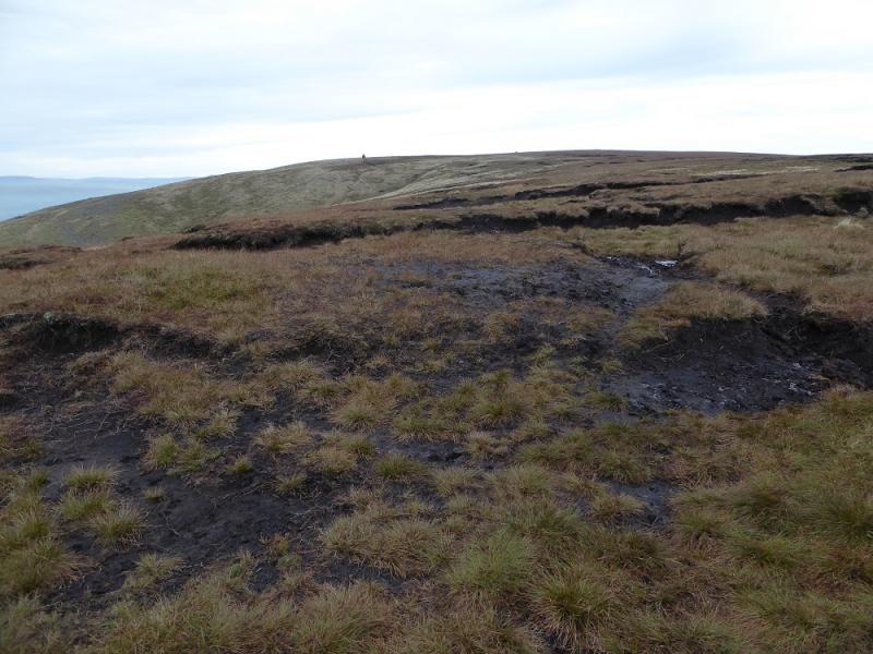
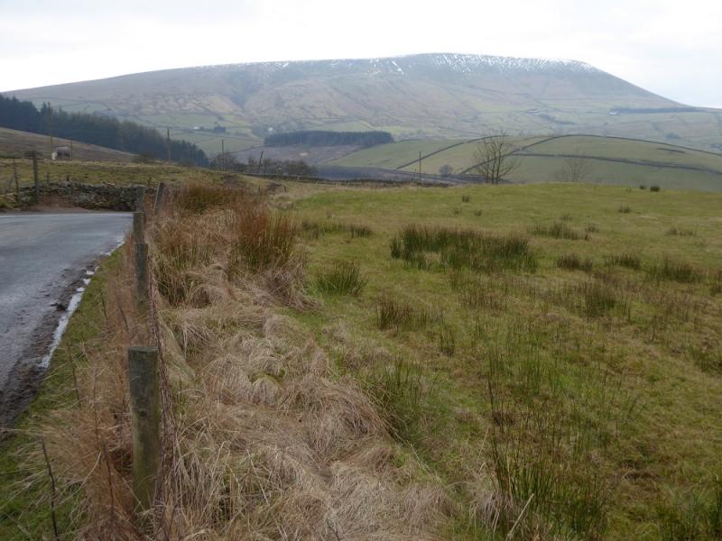
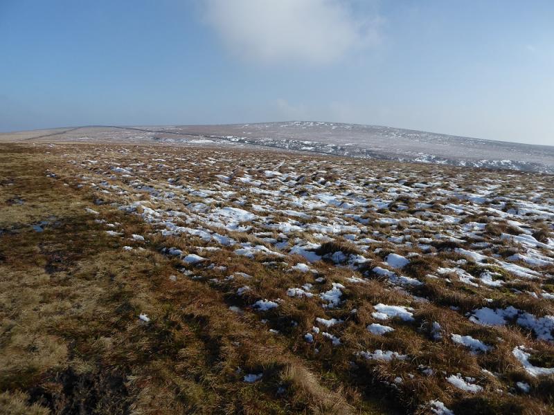
Some may consider Pendle Hill to be of modest height but it dominates the surrounding countryside and is well seen from far away. Navigation is relatively straight forward but the section of the ascent up Big End is quite steep and goes on for some distance. This route avoids thats ection and uses the longer but less steep path ascending SW, below Pendle Hill, from Pendle House. There are toilets and a pleasant cafe in the car park; the parking charges are only £1 per day. The moors have their boggy patches and the going can be rough off the paths. Fairsnape Fell in the Troughs of Bowland can be seen to the west, beyond Clitheroe.
Route
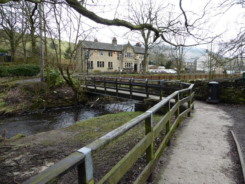
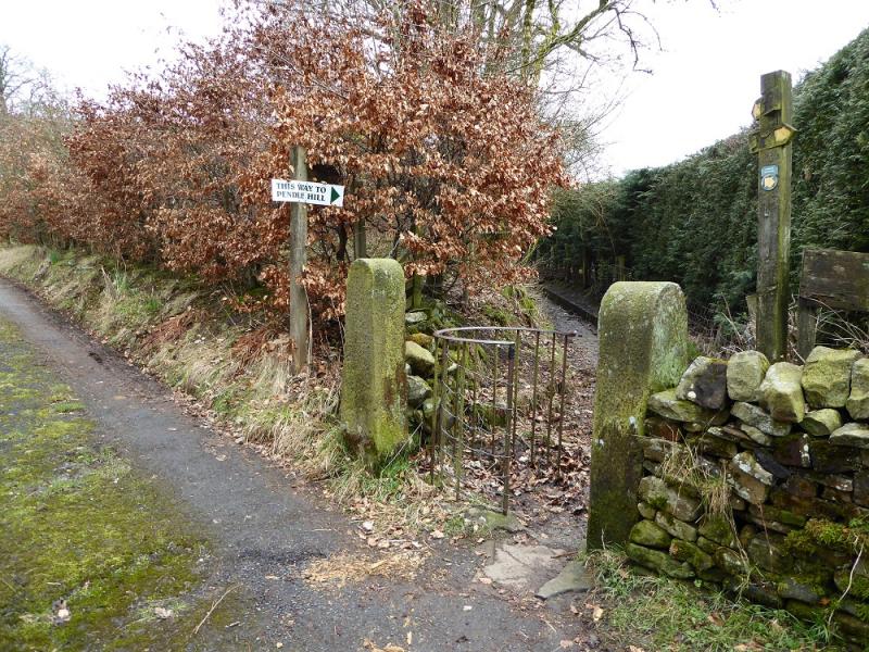
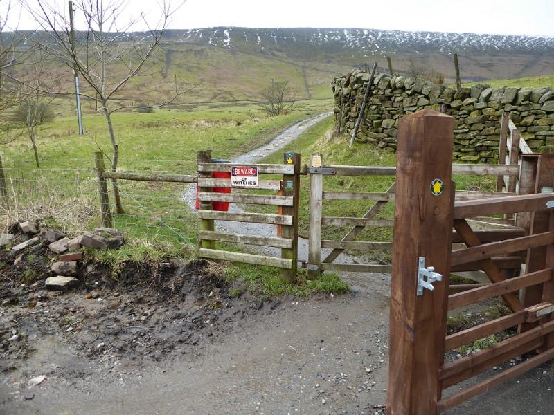
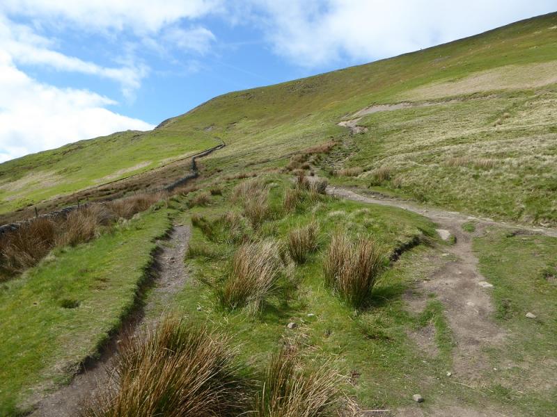
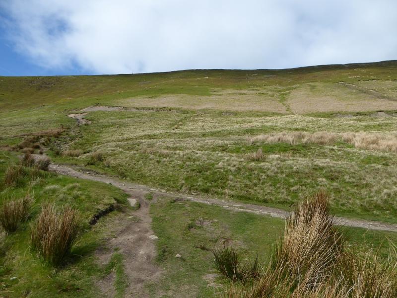
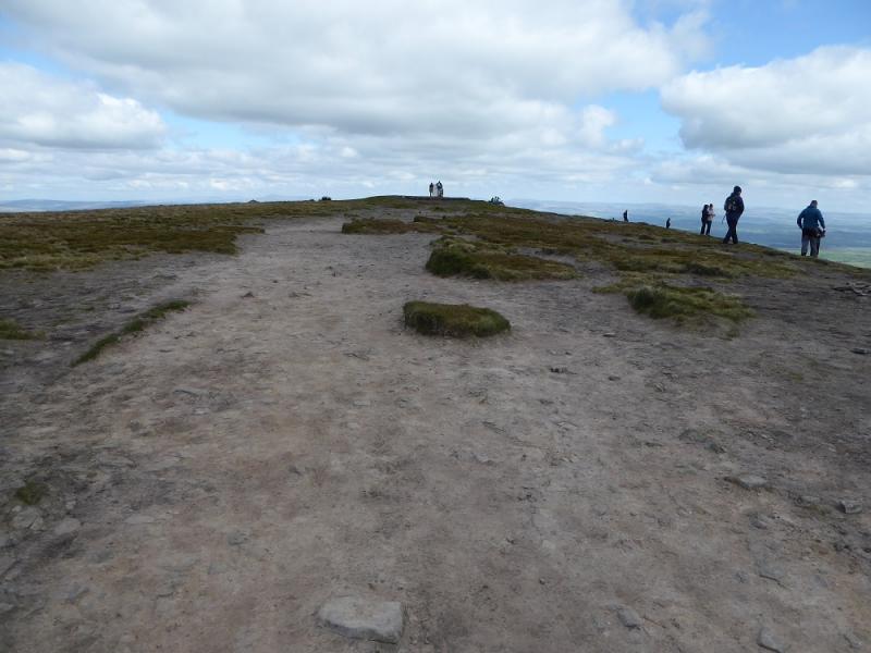
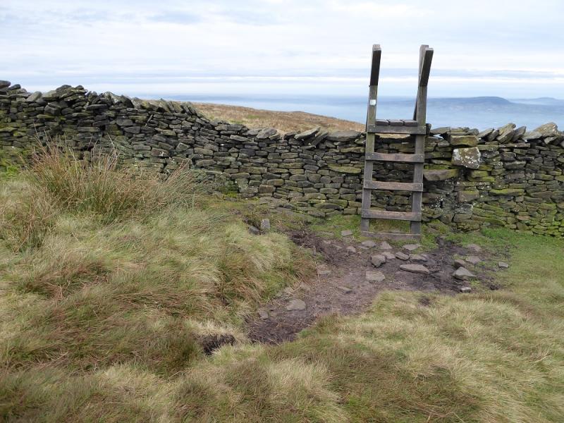
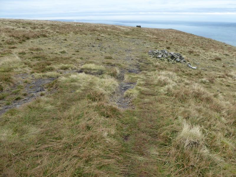
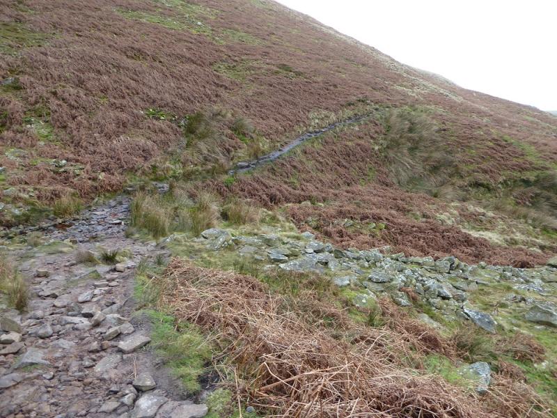
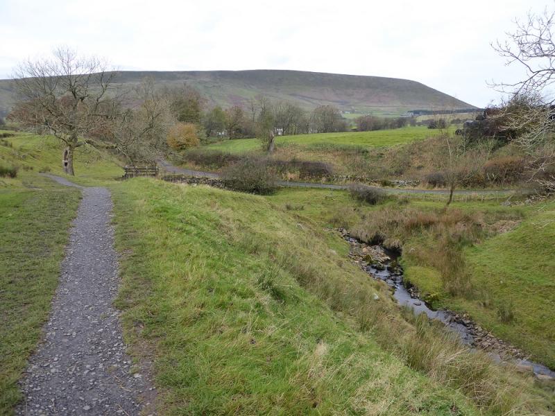
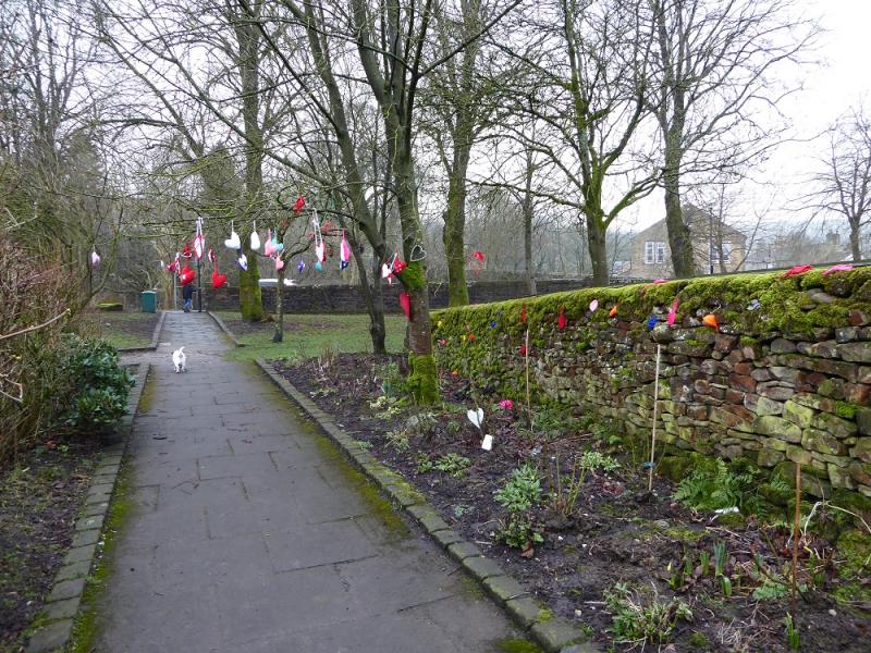
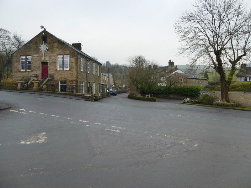
(1) Walk out of the car park on the path behind the toilets and follow it to the road opposite the Pendle Inn. Take the first left, after the inn, which is the road into the village. After about 300 m, a signed path – Pendle Way – goes off left, initially following a stream. This path is well signed. It crosses a minor road, passes Ings End, Brough House then reaches Pendle House, the last building below Pendle Hill. The path now heads towards the steep stepped section which goes up to Big End but this route does not ascend the steps. Instead it goes SW, above the wall. This gives a longer but less steep ascent to the plateau about 600 m S of the trig point. Walk N, on a fairly obvious path to reach the trig point which is the summit of Pendle Hill, 557 m.
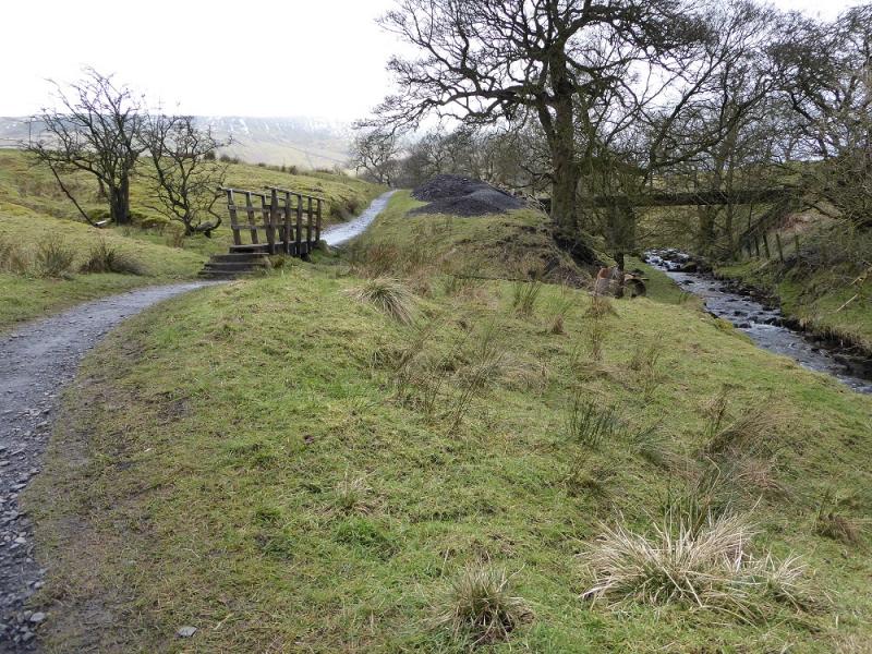
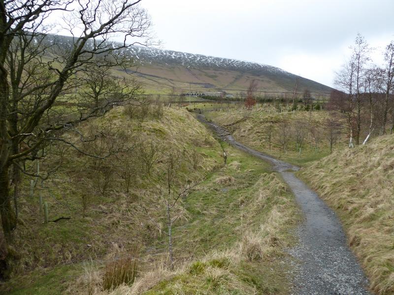
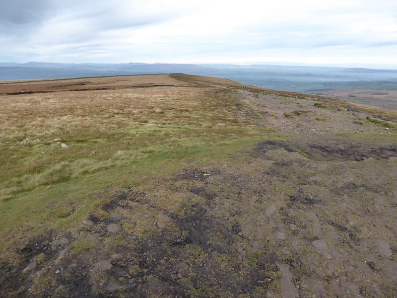
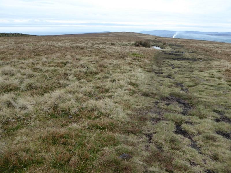
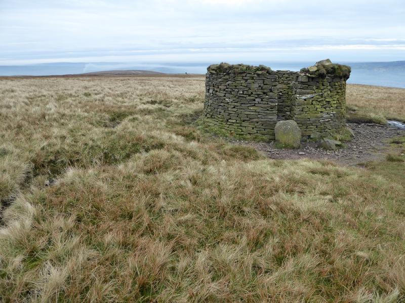
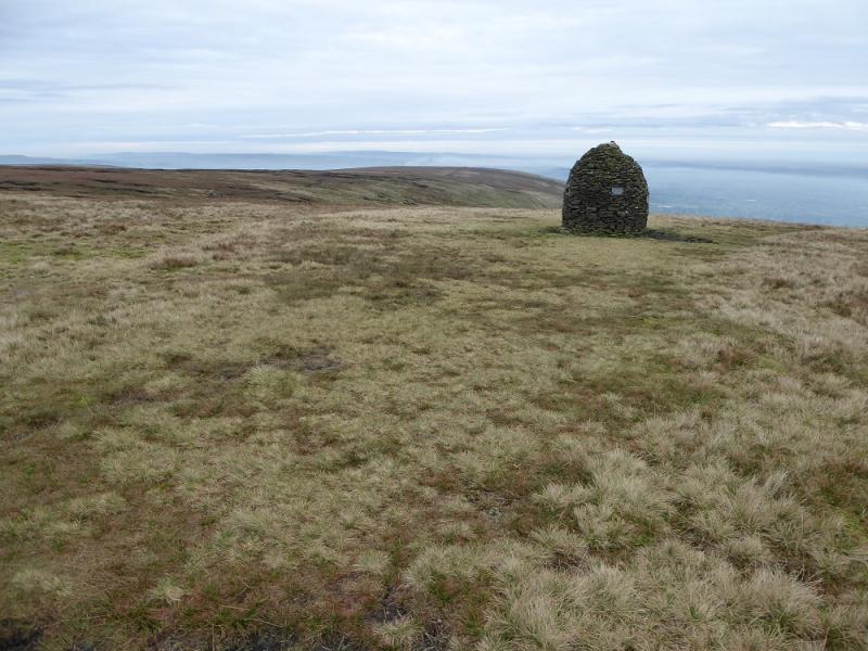
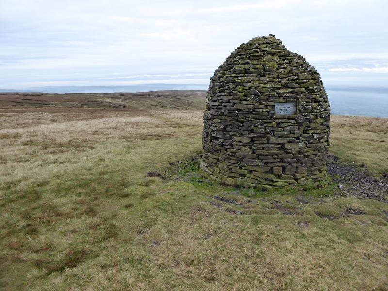
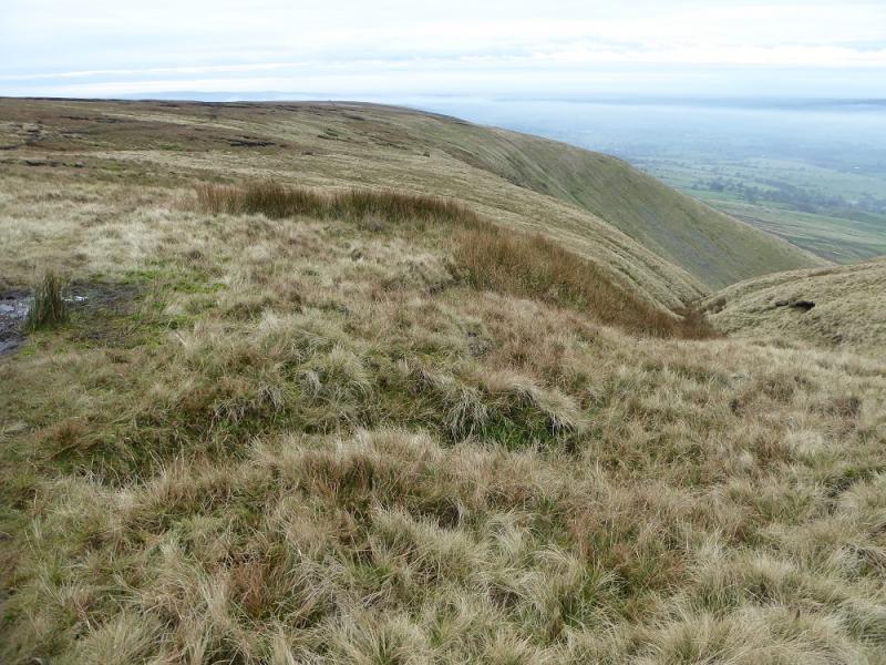
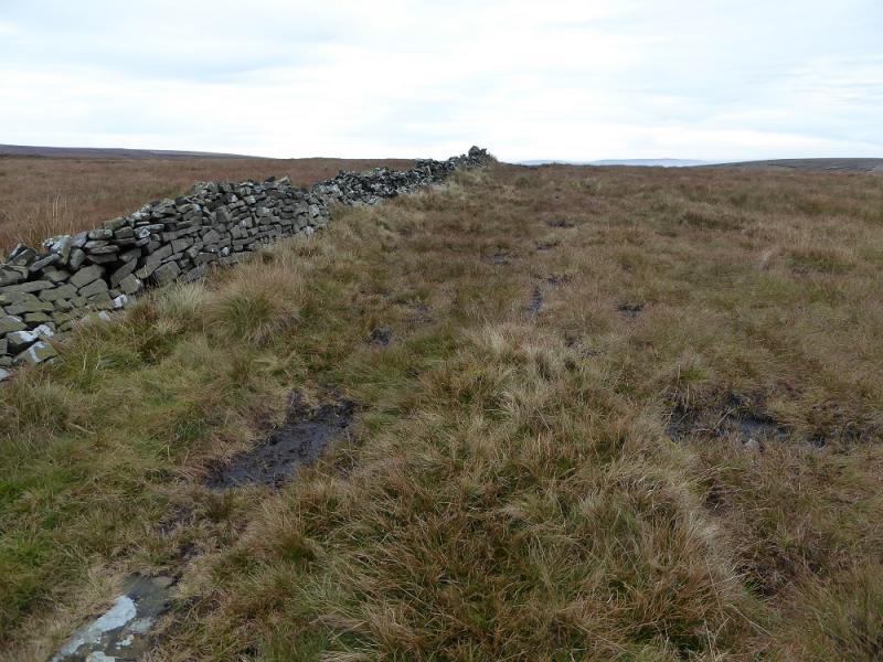
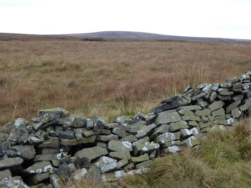
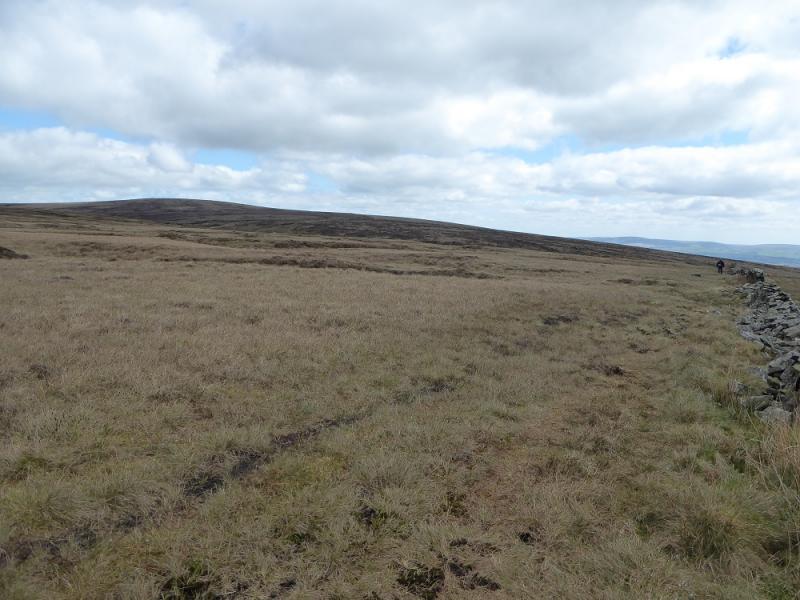
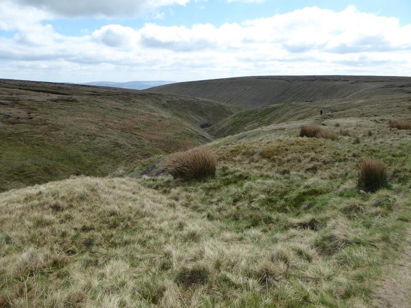
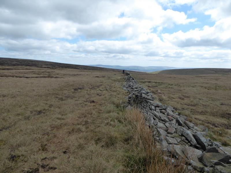
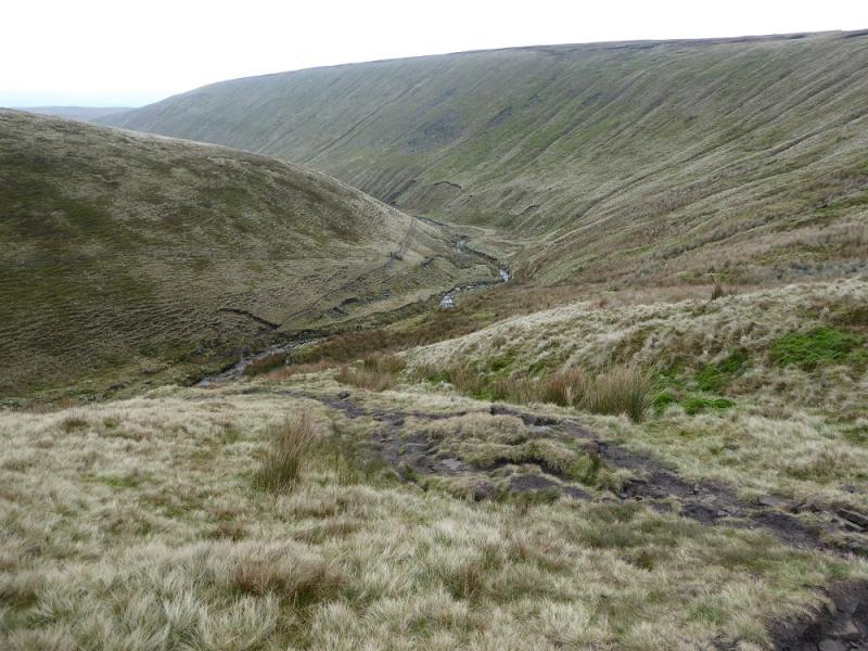
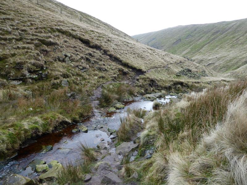
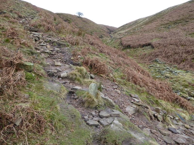
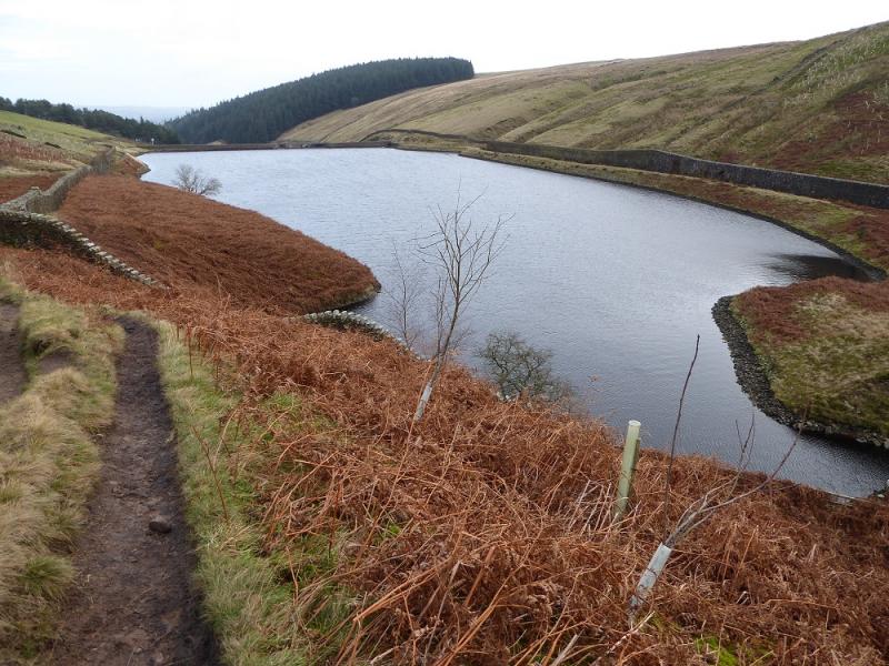
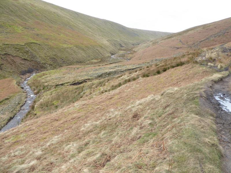
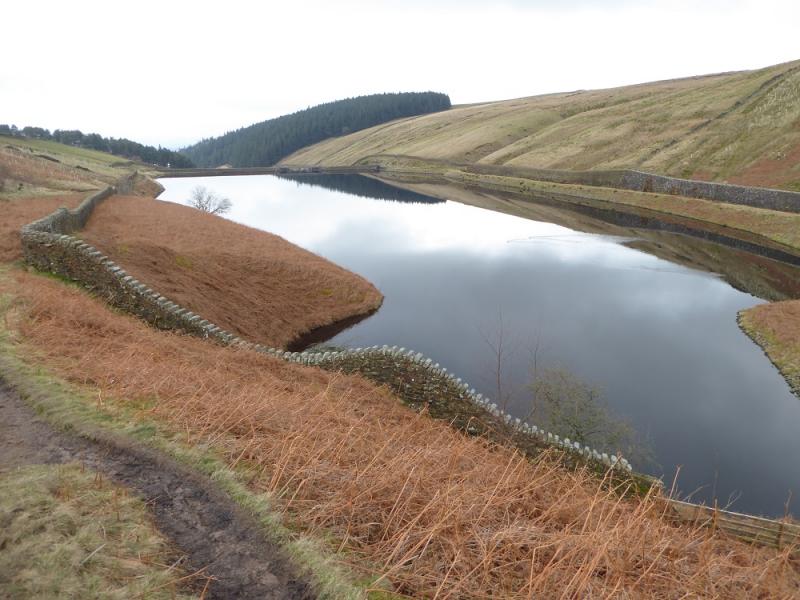
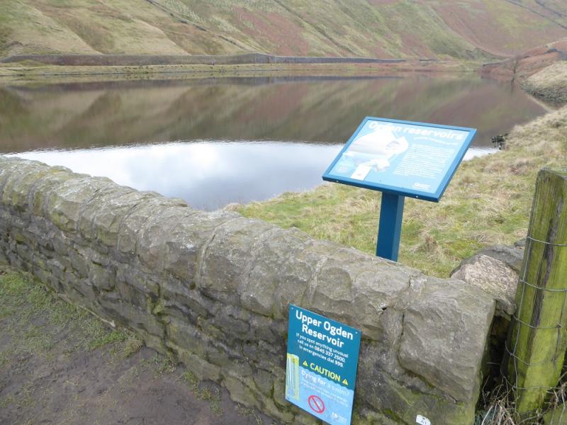
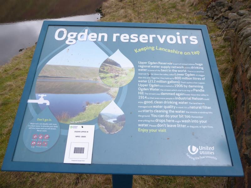
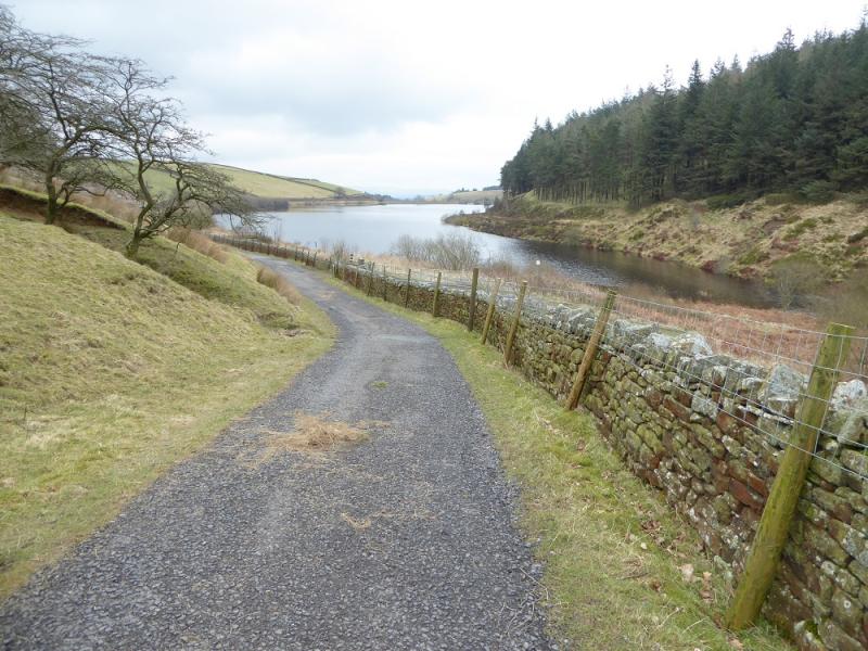
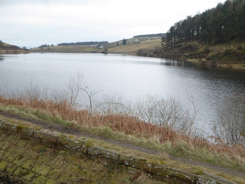
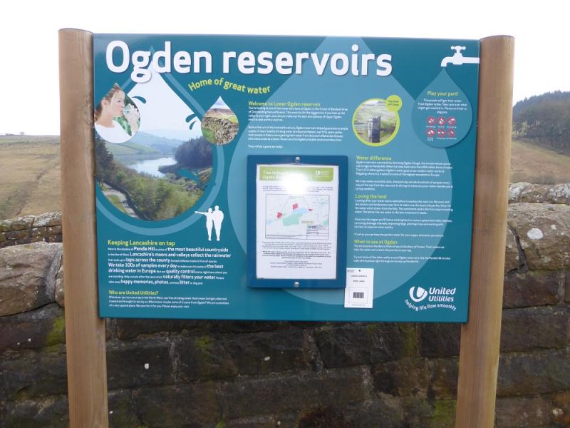
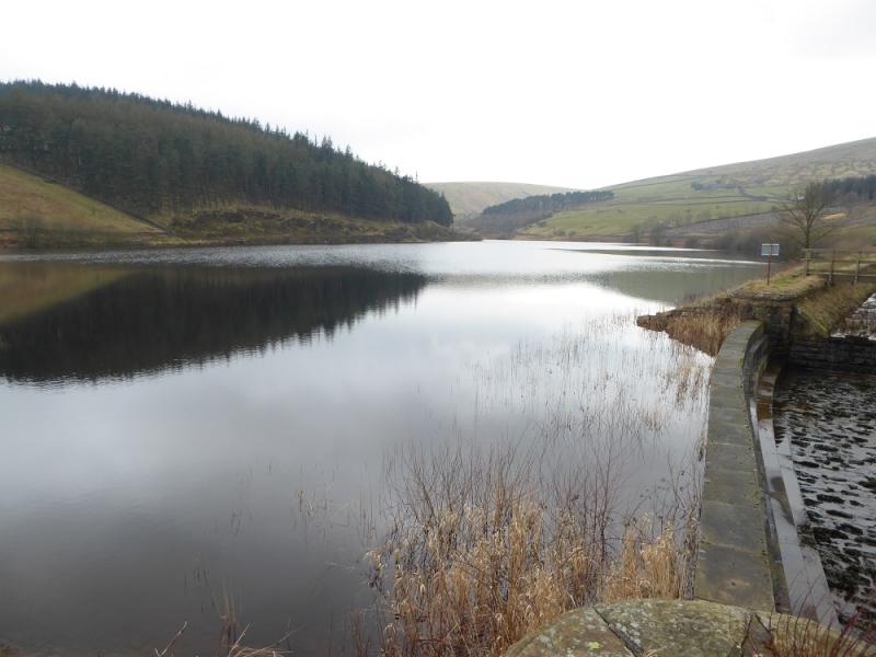
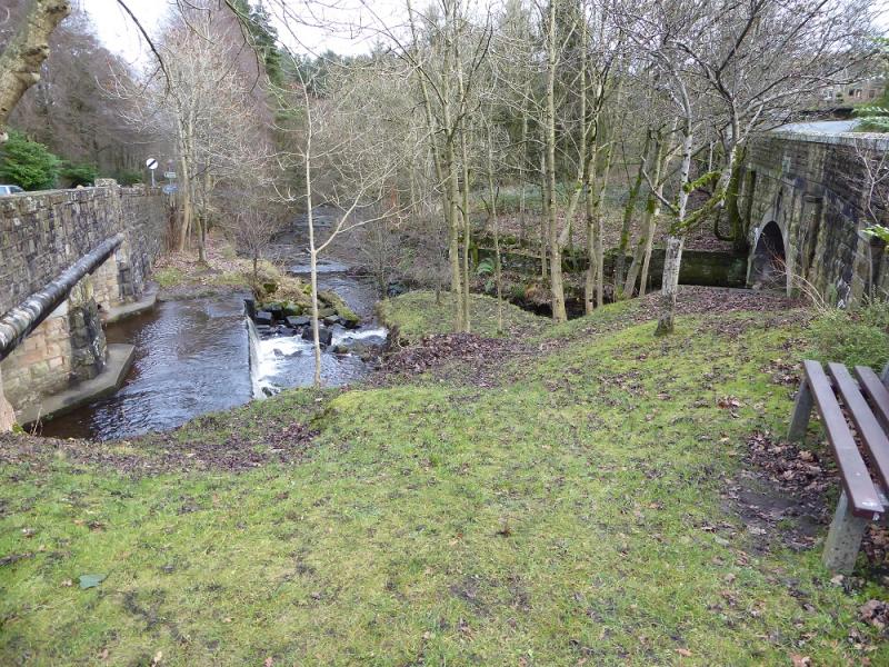
(2) Continue N, on the path, to reach a wall where there is a gate and stile. Cross the wall and follow the wide path W along the crest to reach a stile at the next wall. Cross this and continue to a very large shelter cairn with seating inside then a very large cairn with a Scout plaque on it. Continue on Pendle Moor and cross the head of a gully, just before Turn Head, then continue to reach a broken wall going SE. Follow this for about 600 m to reach Ogden Clough. The wide path, shown as a track on the map, coming from Black Hill to the S, is met first then a few metres further the lesser path along the edge of Ogden Clough. Follow the path down the clough. A short steeper descent takes one across the stream then continue down the clough. Pass the foot of Boar Clough, on your left, and the path coming down its left bank which is the only clough passed. Continue down the clough to reach Upper Ogden Reservoir which will be on your right, S. Follow the obvious path/track down the side of the reservoir then continue to reach the larger Lower Ogden Reservoir. Continue following the main track down and emerge in Barley village almost opposite the car park.
Notes
(a) This walk took place on 23rd April, 2017.
(b) There are many other routes on Pendle Hill which are well worth exploring.
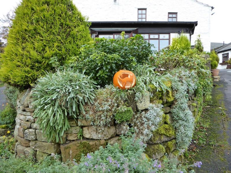
Photos - Hover over photo for caption. Click on to enlarge. Click on again to reduce.