Get Lost Mountaineering
You are here: Scotland » 04 Loch Leven and Loch Linnhe to Loch Ericht » Ben Nevis to Loch Trieg
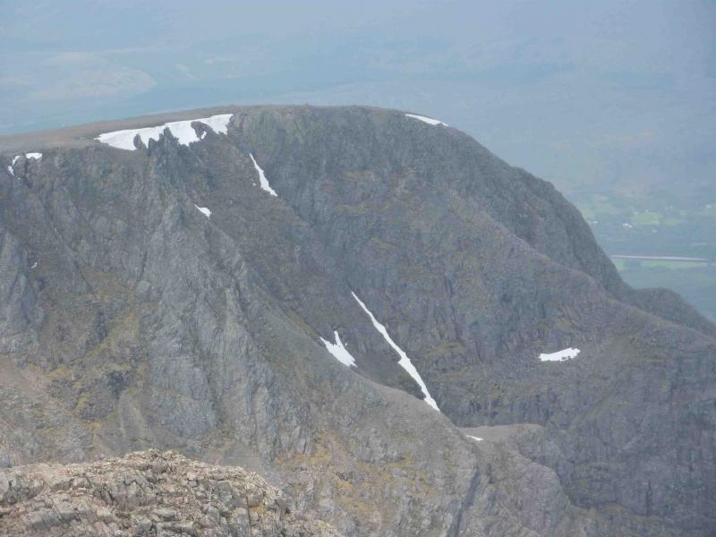
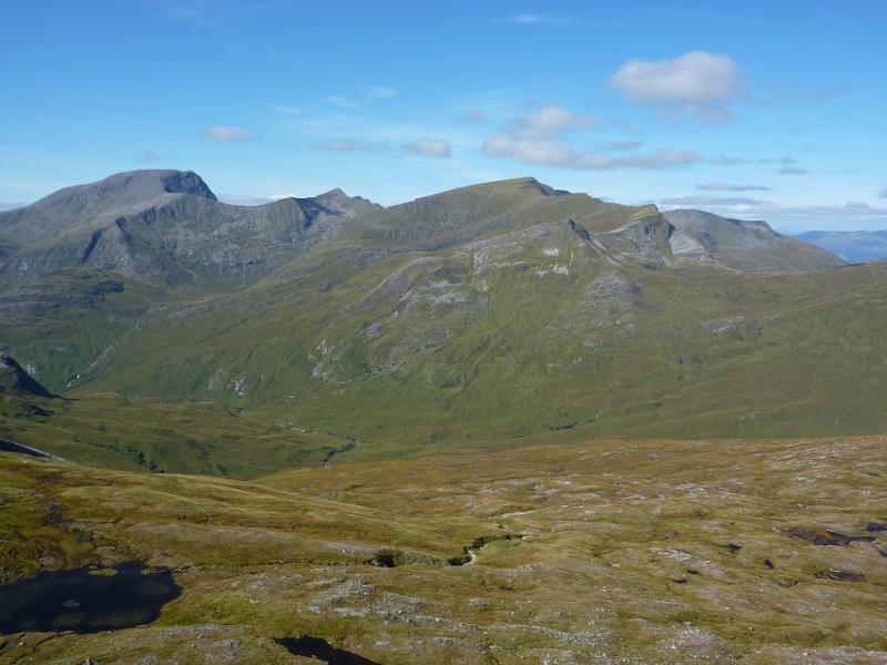
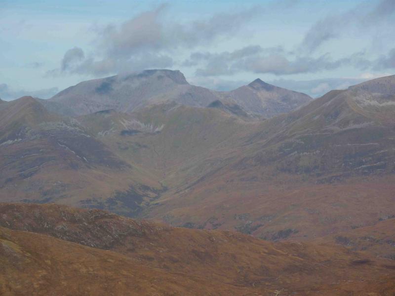
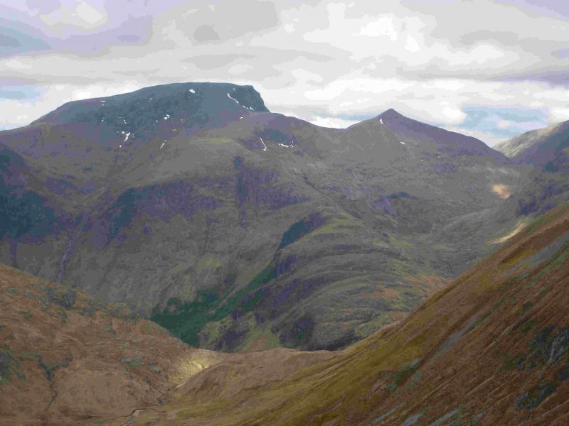
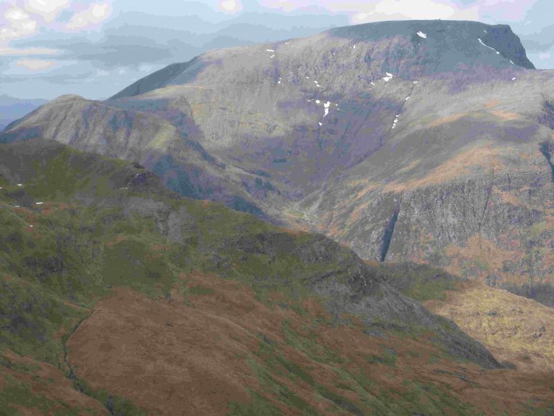
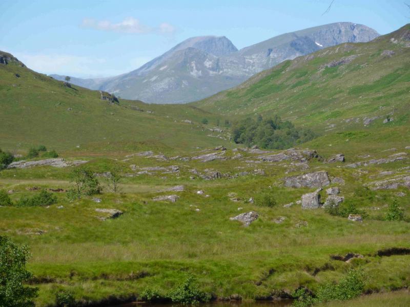
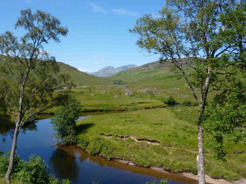
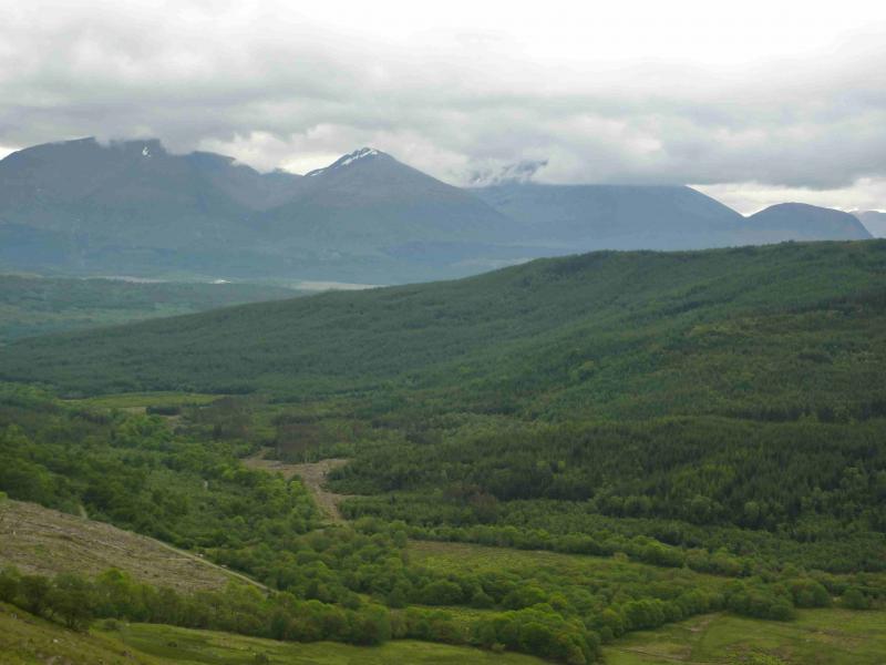
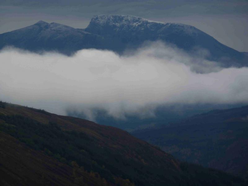
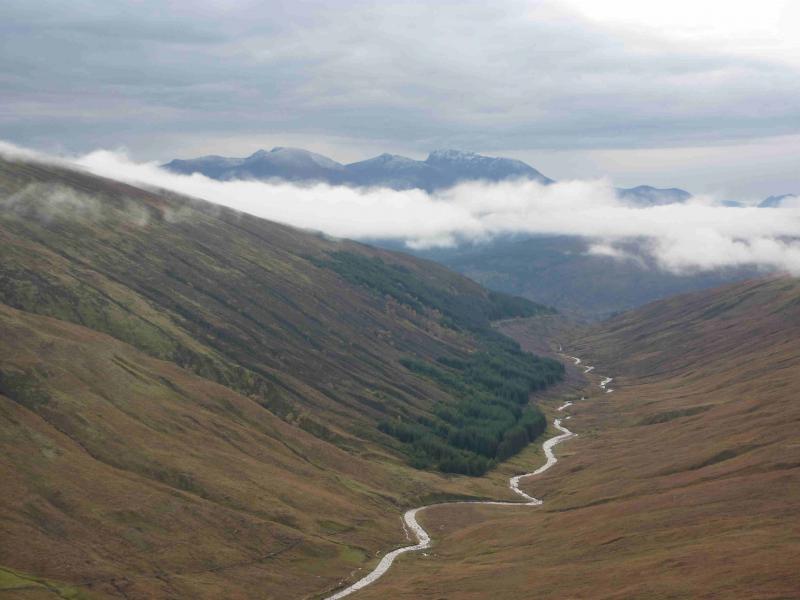
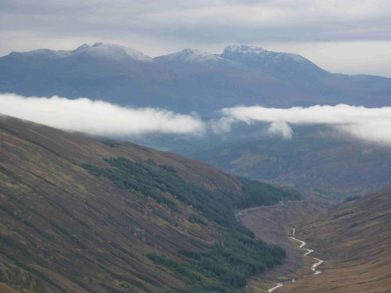
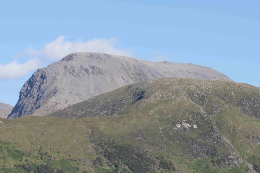
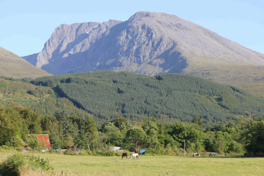
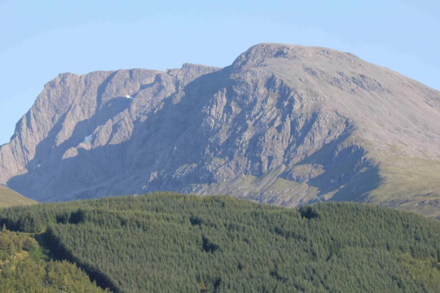
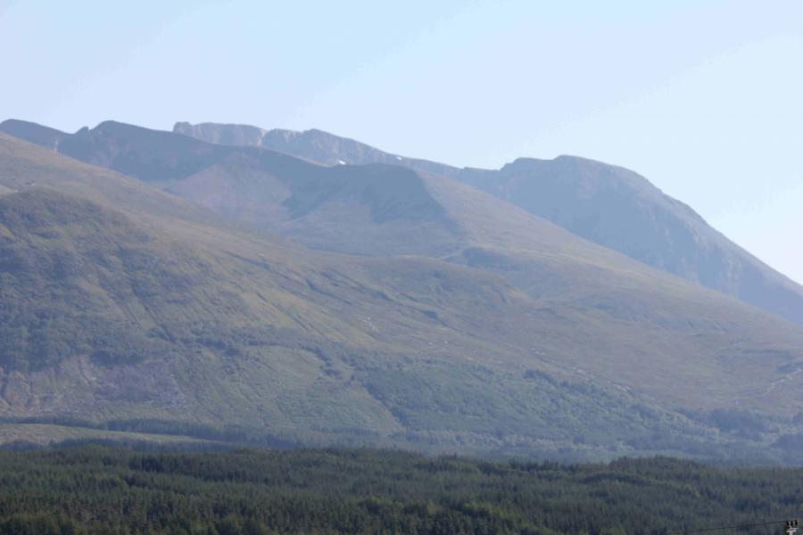
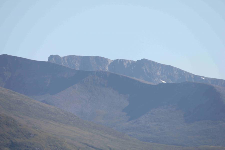
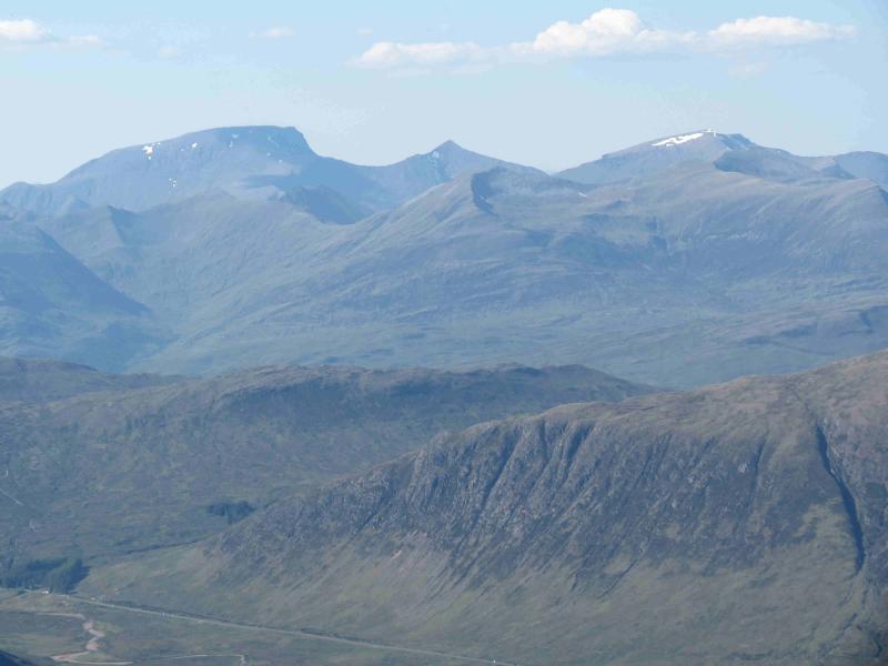
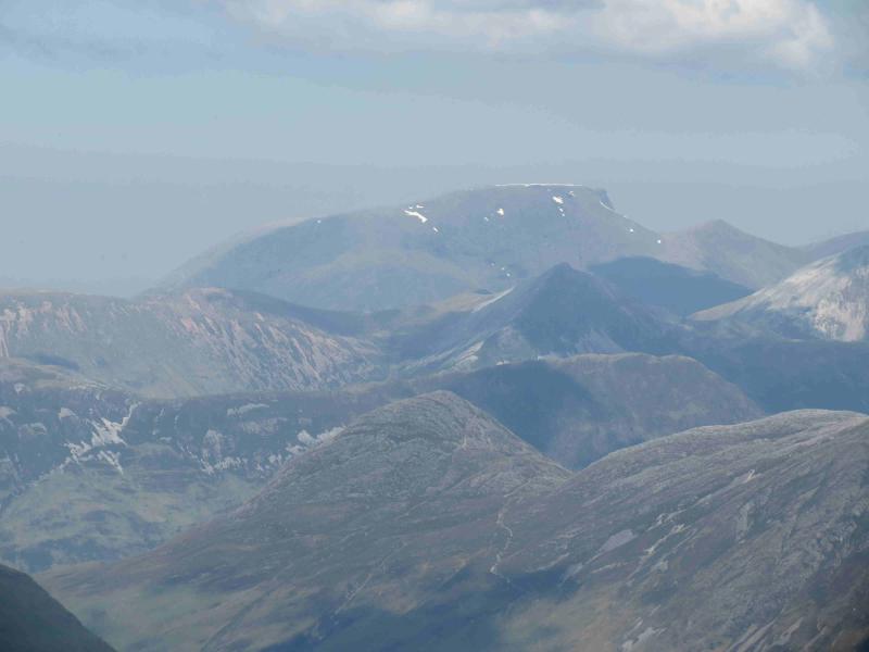
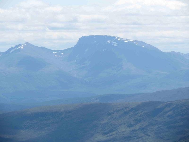
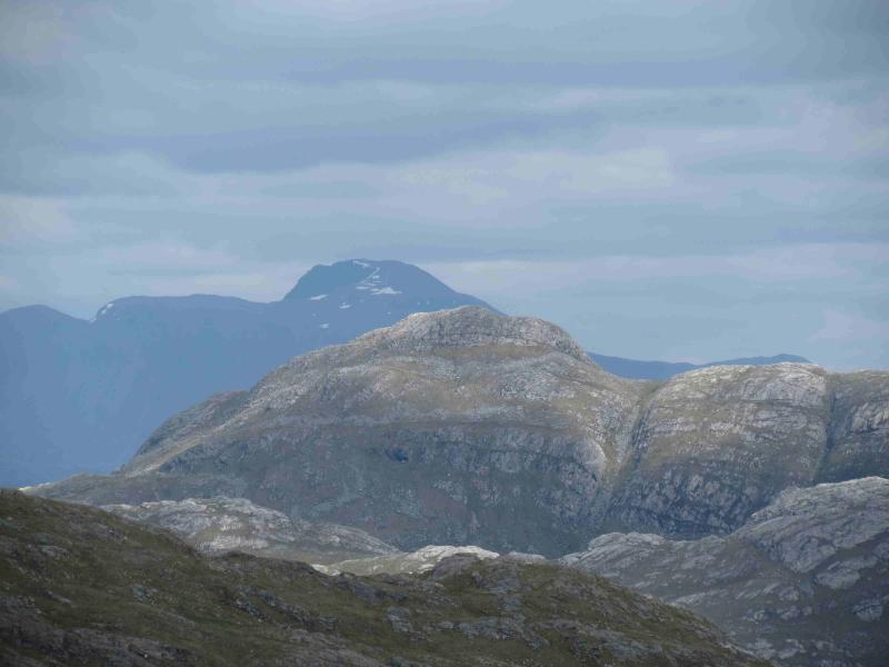
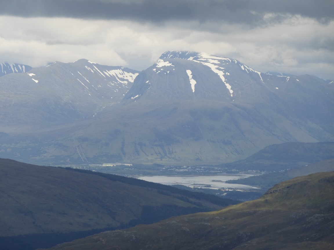
Carn Mor Dearg & Ben Nevis
Carn Mor Dearg and Ben Nevis
Start/Finish
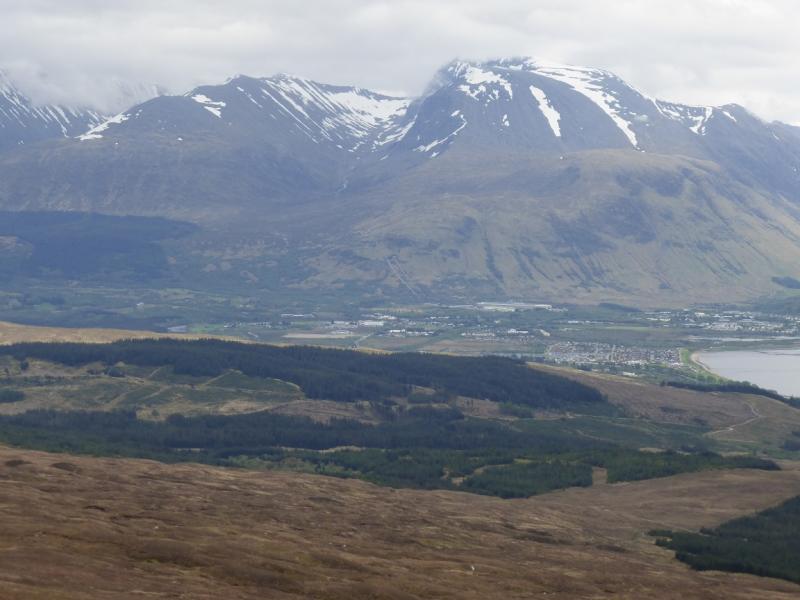
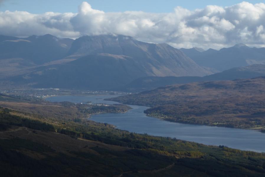
North Face car park (leave A82 at Torlundy, N of Fort William and follow the signs over the railway bridge then to the right).
Distance/Time
20 km About 9 hours (including both Carn Deargs on Ben Nevis)
Peaks
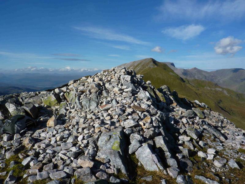
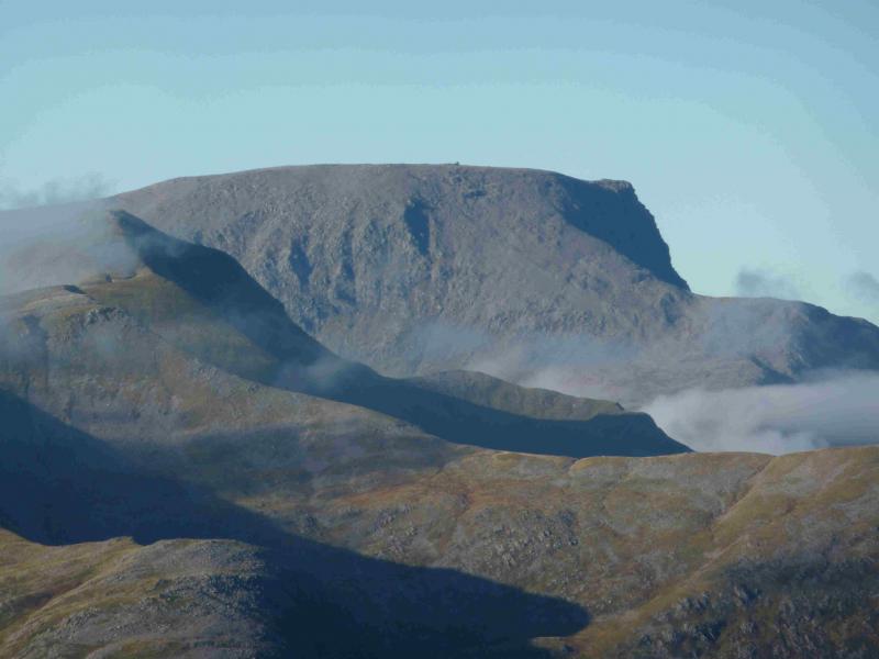
Carn Dearg Mheadhonach, 1179 m, NN 176 726.
Carn Mor Dearg, 1220 m, NN 177 721.
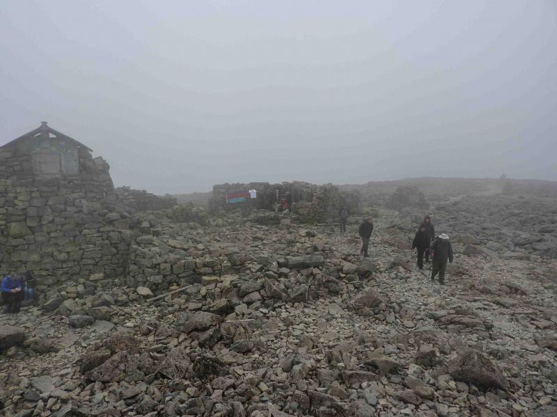
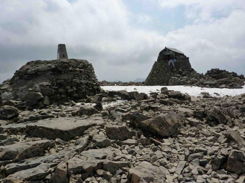
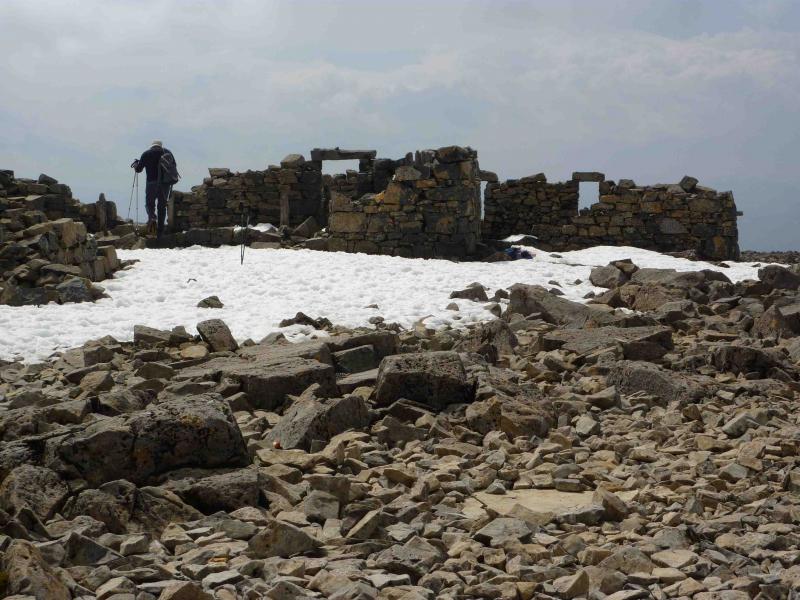
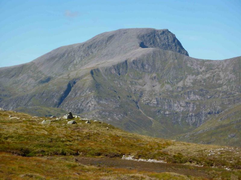
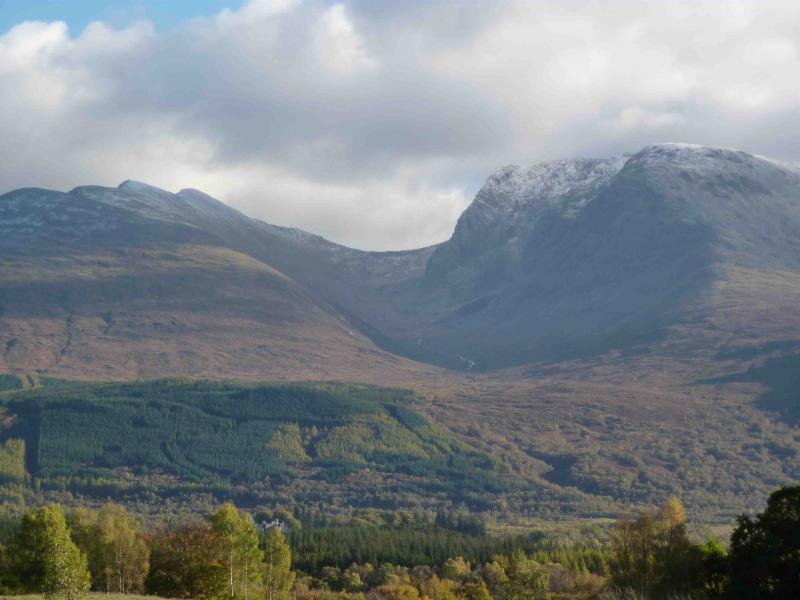
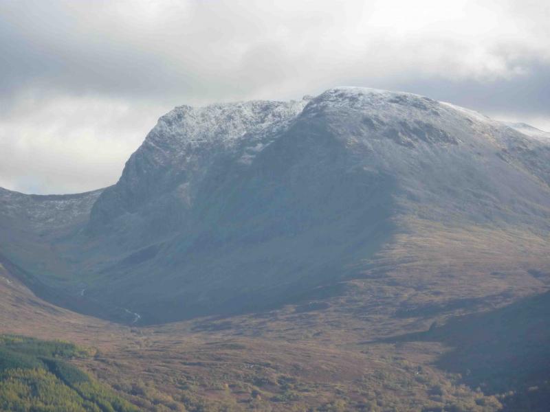
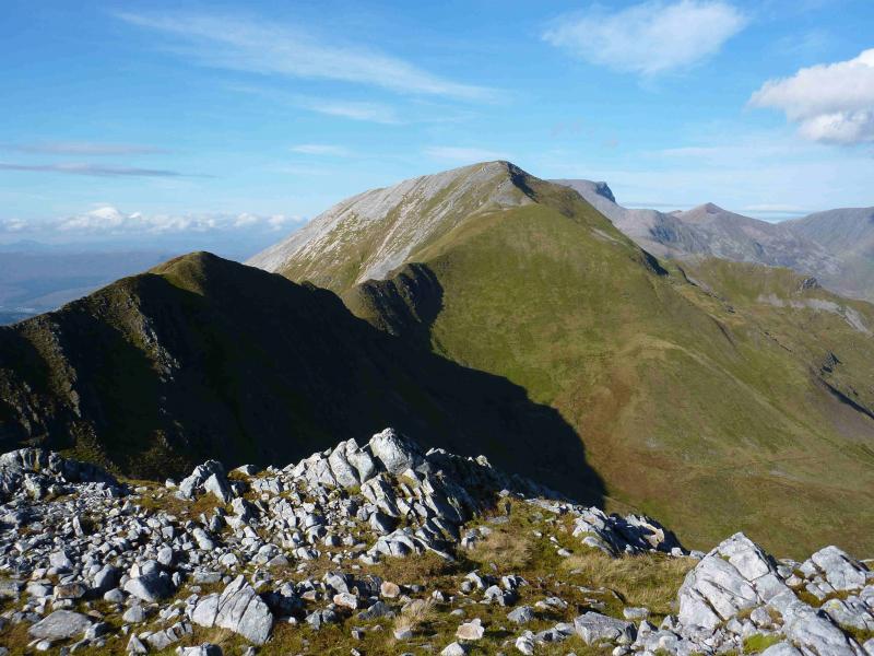
Ben Nevis, 1344 m, NN 166 712.
Carn Dearg SW, 1020 m, NN 155 701.
Carn Dearg NW, 1221 m, NN 559 719. OS sheet 41.
Introduction
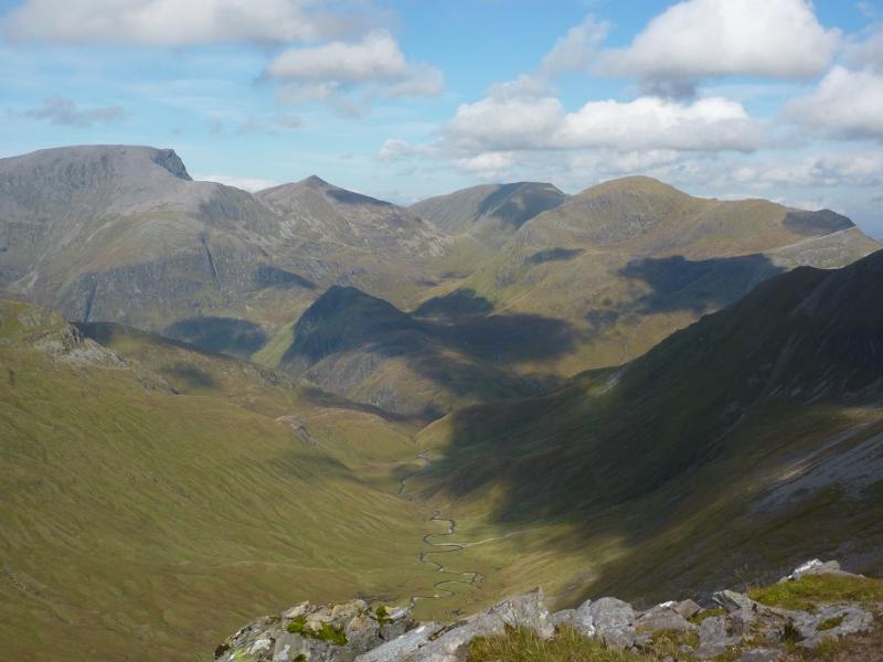
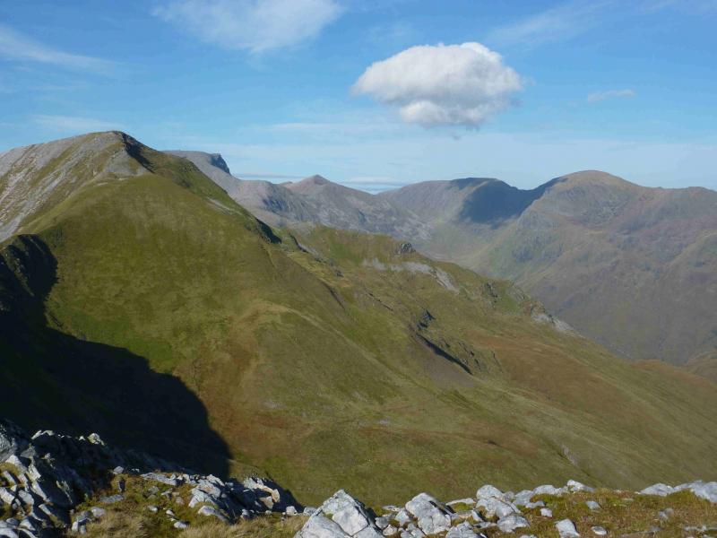
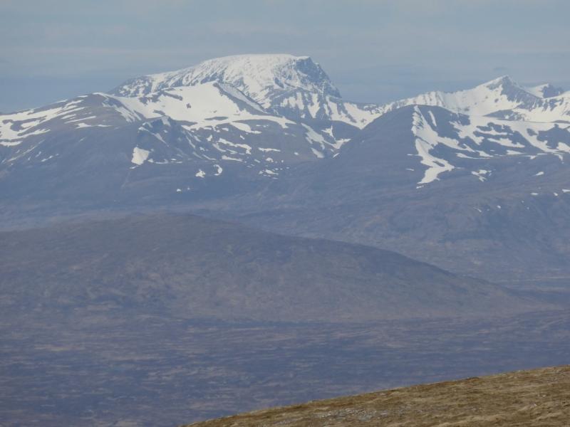
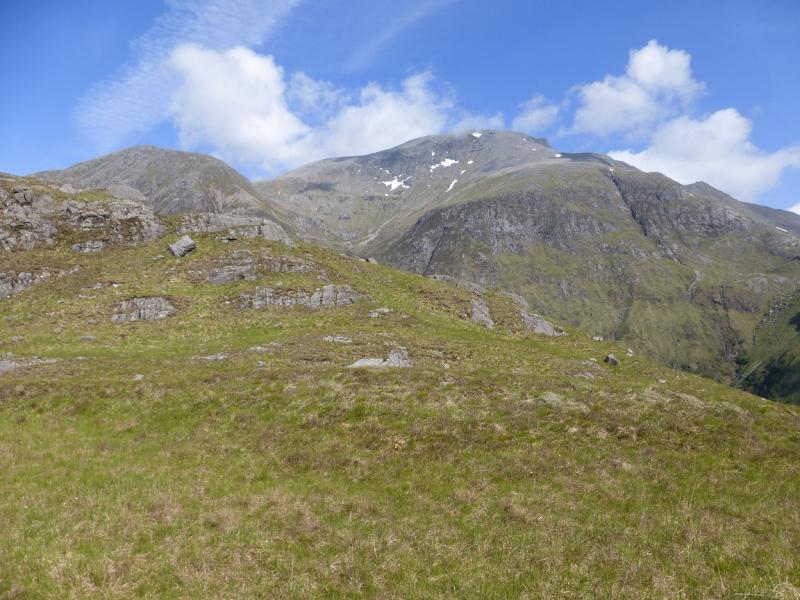
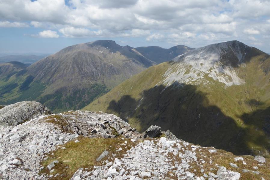
The classic Carn Mor Dearg arête route. On a clear day, the views are outstanding from Britain’s highest mountain.
Route
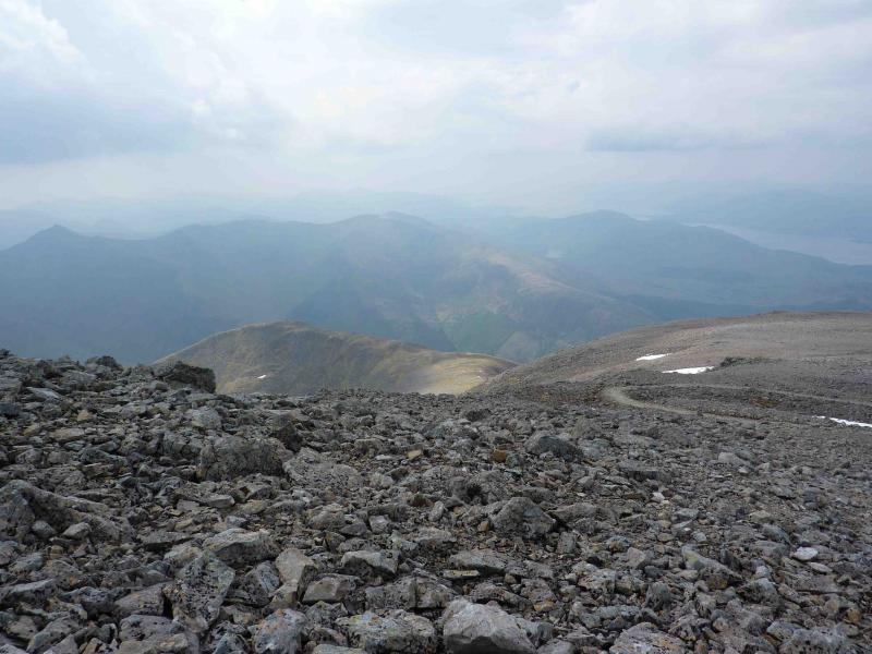
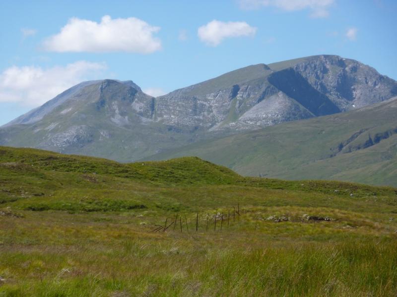
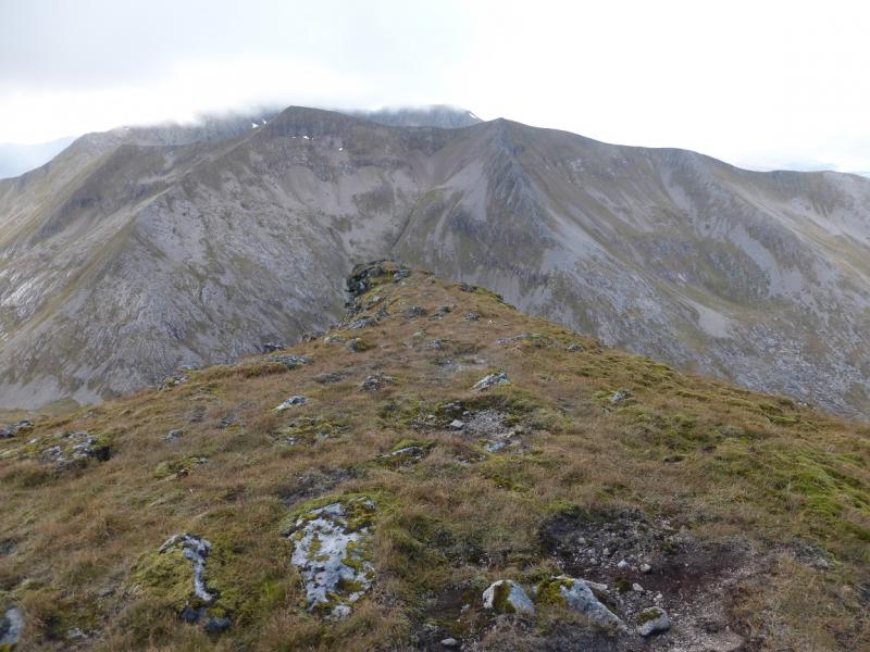
(1) From the car park, continue along the track which soon becomes a path, with a few steep sections, through the forest to emerge at the Allt a’ Mhuillin dam at the top of the hydro track. Follow the Allt a’ Mhuillin path which climbs gently. Go past a post on the right then up a cobbled rocky staircase. At the top a faint path forks off left through grass and climbs at an easy angle as the ground becomes gradually more stony. The path is now between two obvious burns and heads towards the minor of the two but, just as it reaches it, heads back to the major burn and climbs up its S (right) bank past a slabby waterfall. As the burn peters out, the path heads S on a more gentle traverse towards Carn Mor Dearg. The crest is easily reached by leaving the path or continue on it to reach Carn Dearg Mheadhonach, 1179 m, which has an impressive E ridge (an easy scramble from the glen below if you fancy another day).
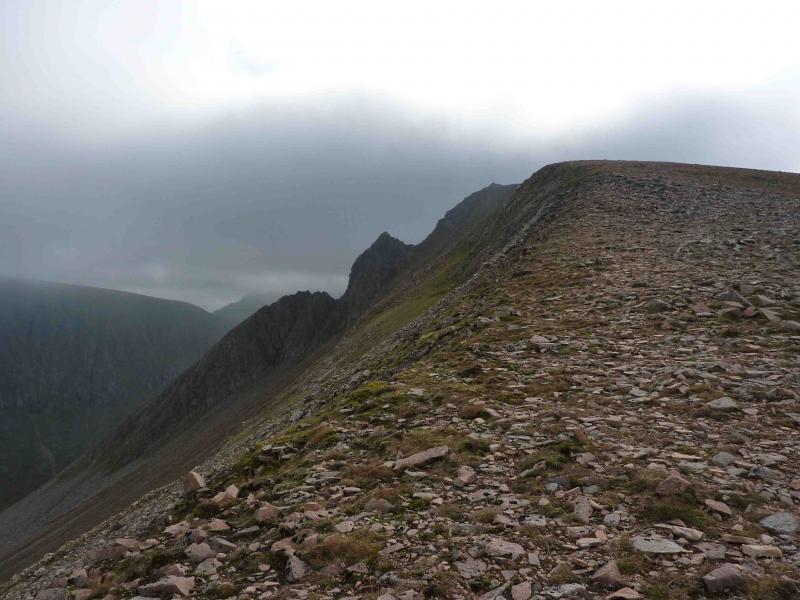
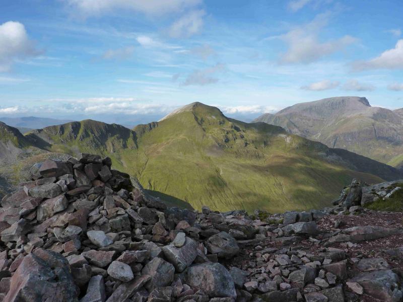
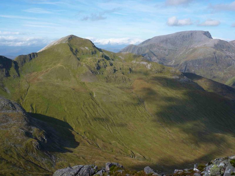
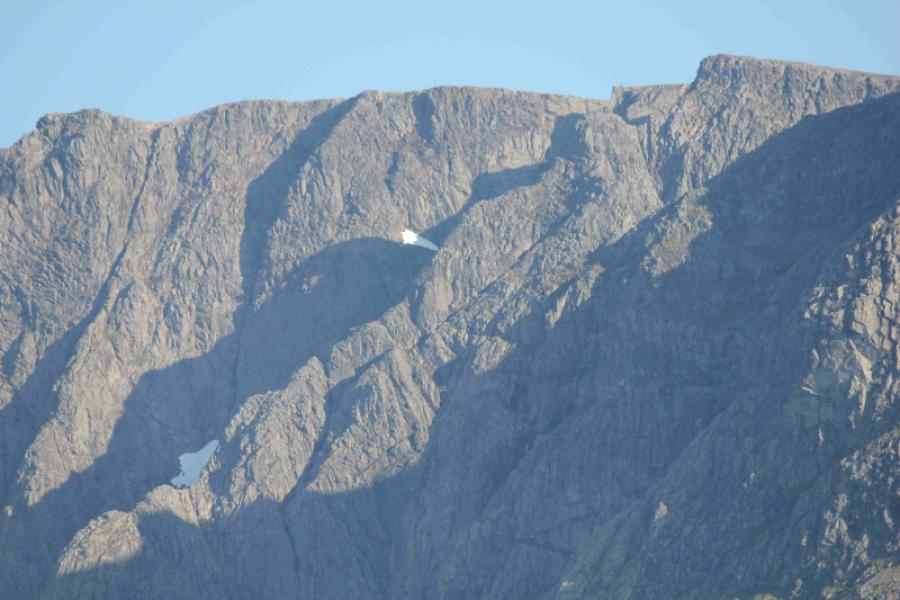
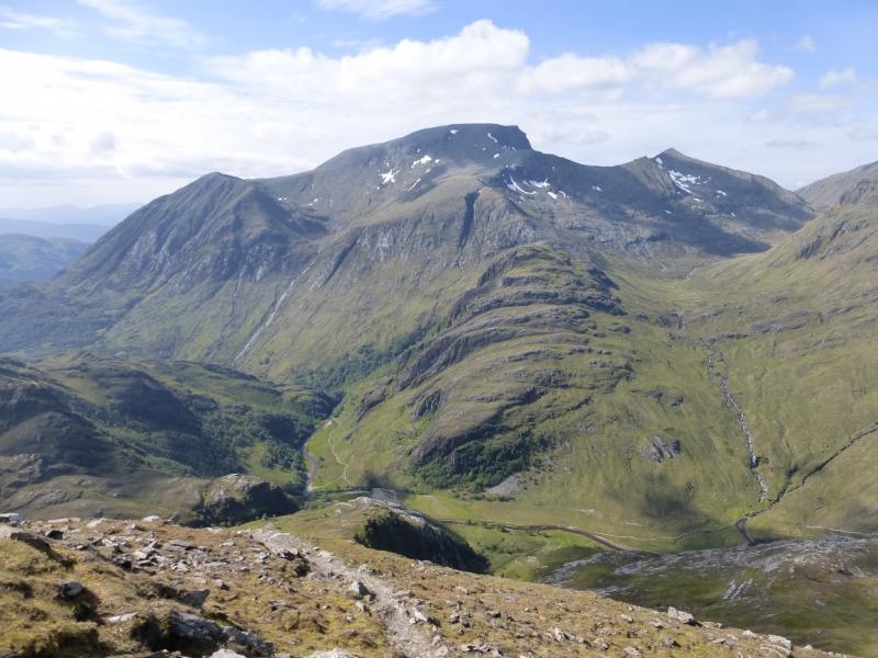
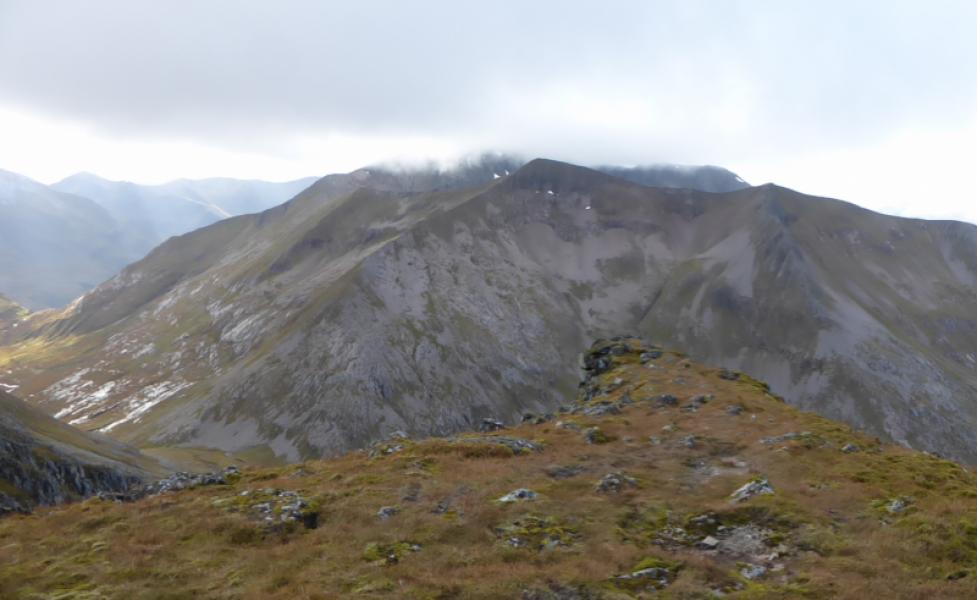
(2) Continue along the crest, over a shallow dip, to Carn Mor Dearg, 1220 m. Descend roughly S (path) on a narrowing crest to the Carn Mor Dearg arête. Follow the arête around to the start of the climb up the Ben. There are no serious difficulties but there is an avoiding path for most of the way along the S side of the arête.
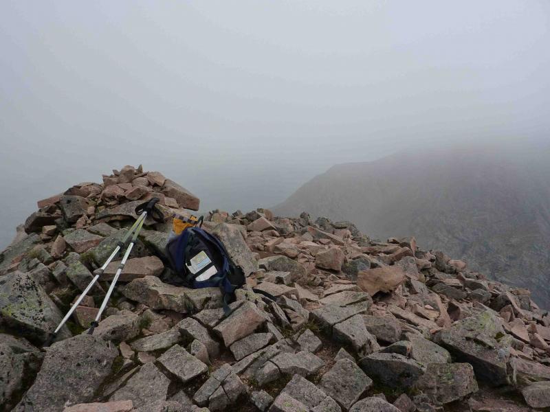
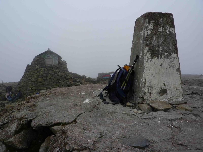
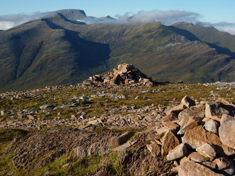
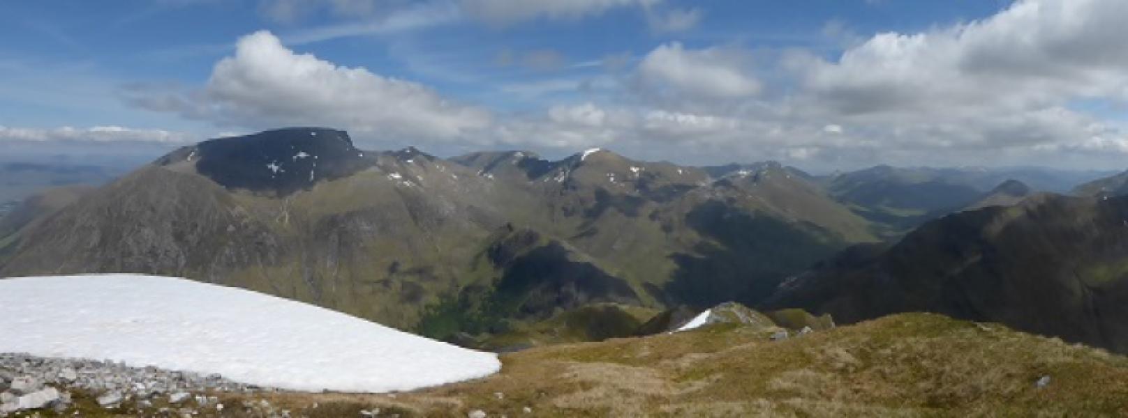
(3) Either climb directly up the boulder field or follow the path further round to easier grassy slopes to emerge on the summit plateau of Ben Nevis, 1344 m, not far from the cairn.
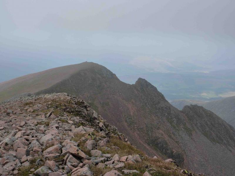
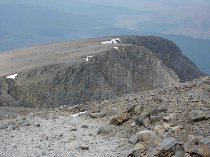
(4) Descend NW on the well cairned tourist path. Take the long zig zag in the path until above Carn Dearg SW. Descend bouldery slopes with loose scree paths to a grassy bealach followed by a short ascent to Carn Dearg SW, 1020 m.
(5) Retrace to the main Ben Nevis path – it is easier to ascend amongst the boulders than on the scree. Cross the path and reach the edge of the north face. Follow this westerly, past No. 4 gully (braille “4” flag) to Carn Dearg NW 1221 m. It is best to return directly to the main path where it was crossed rather than follow a line of cairns down eroded loose scree by the upper Red Burn.
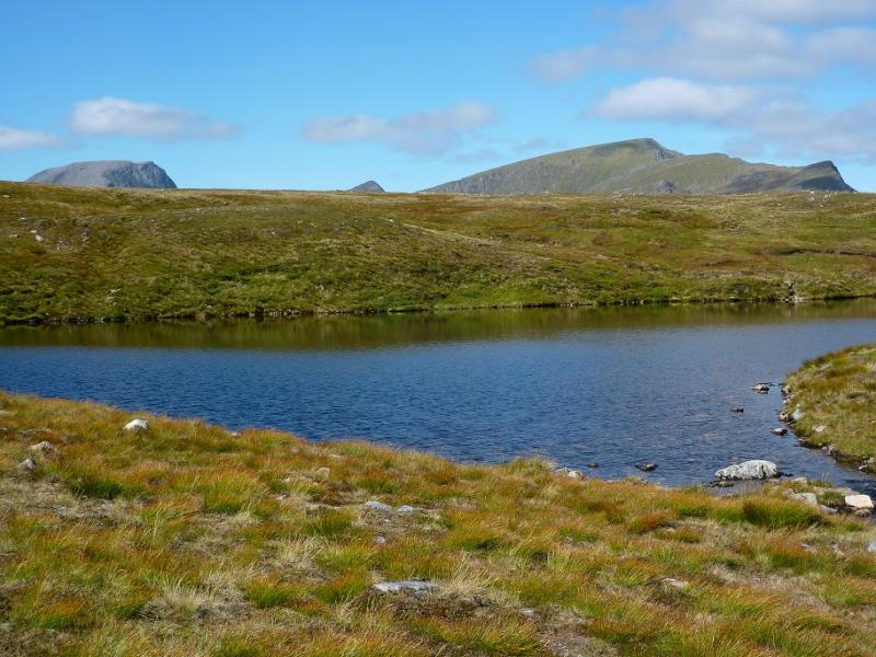
(6) Continue down main path, recently improved, to Lochan an-t Suidhe. Leave the main path and follow a good path to its outflow at it N end. Follow the burn to pick up faint path which gradually diverges from the burn and in places is an ATV track and a bit boggy. Soon the path reaches a line of rusty fence posts and descends to the Allt a’ Mhuillin which is crossed near to the dam on the outward route. If it is in spate, cross at the fence over the burn using the large boulders.
Notes
(a) This walk took place on 18th September, 2009.
(b) Omitting the Carn Deargs on Ben Nevis can save about 2 hours.
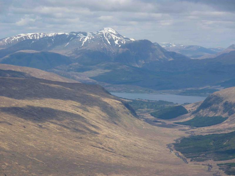
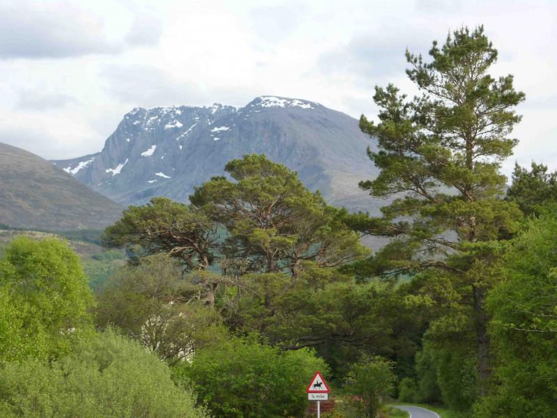
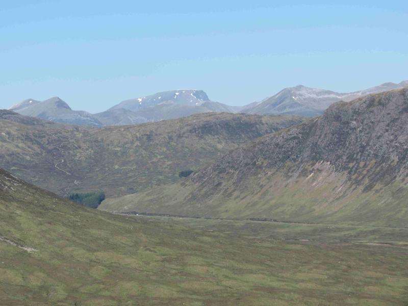
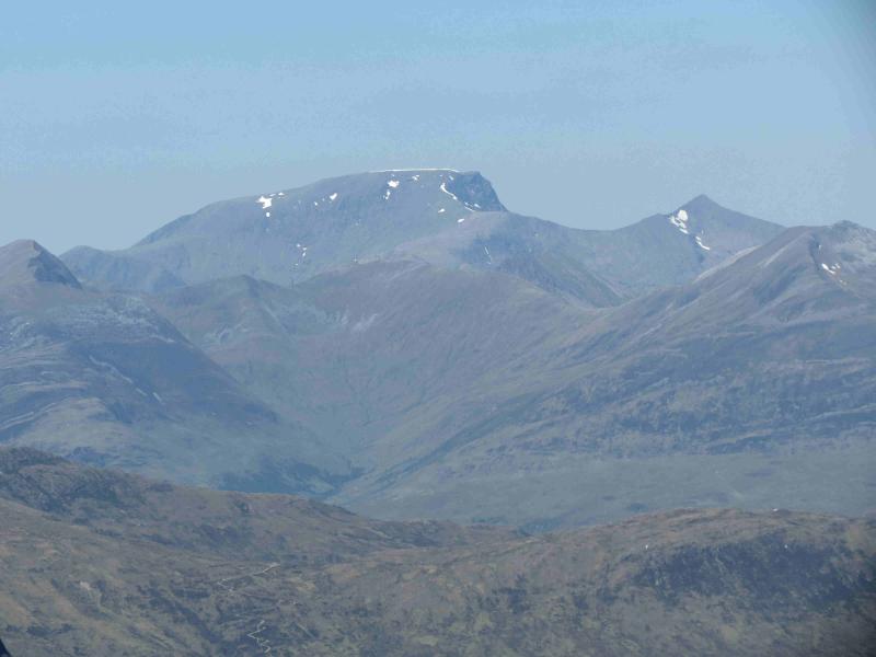
Photos - Hover over photo for caption. Click on to enlarge. Click on again to reduce.