Get Lost Mountaineering
You are here: England » Peak District » Kinder, Mam Tor ridge, Rushup Edge, Brown Knoll & Win Hill from Edale
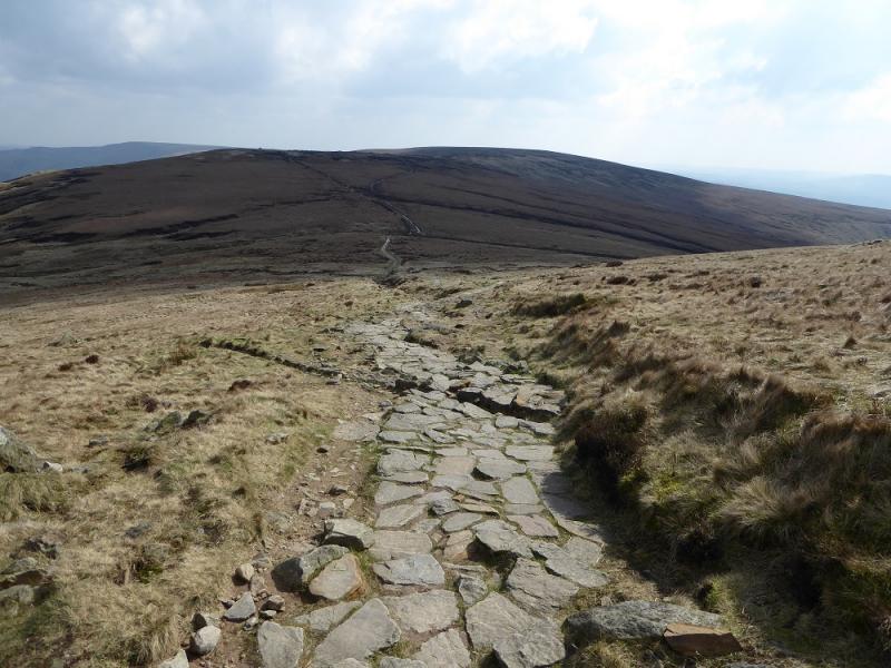
Edale Horseshoe: Win Hill to Lose Hill from near Hope
Edale Horseshoe: Win Hill to Lose Hill from near Hope
Start/Finish
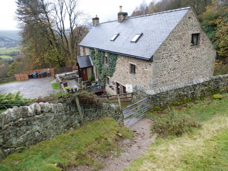
Ideally, outside the school about 300 m up the Edale road from Hope. Failing that as close as possible or in the Pay and Display car park in Hope. The turn off for Edale from Hope, from The Hathersage to Castleton road, A625, is not that obvious and easy to miss. It is a right turn opposite a church on the left on the eastern end of Hope. The car park is expensive but there are toilet facilties.
Distance/Time
28 km. About 9 hours.
Peaks
Winhill Pike, 462 m, SK 187 851.
Brown Knoll, 569 m, SK 083 851.
Rushup Edge, Lord's Seat, c 540 m, SK 112 835.
Mam Tor, 517 m, SK 127 836.
Back Tor, c 430 m, SK 148 851.
Lose Hill, 476 m, SK 153 853.
Much of this walk is on ridges and edges.
OS Outdoor Leisure 1: Dark Peak. OS 1:50 000 Sheet 110.
Introduction
This is what many would regard as the full Edale Horseshoe as the first peak is Win Hill and the last is Lose Hill. This is the no frills version which just sticks to the main ridges and main edge paths so it does not include Grindslow Knoll, Kinder Low, Edale Rocks or Swines Back. To include all of these would add about an hour.
Route
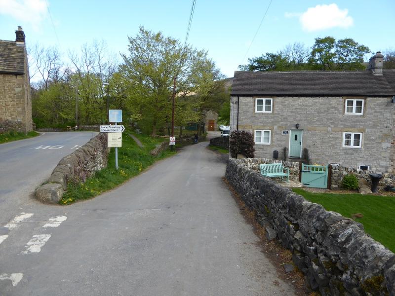
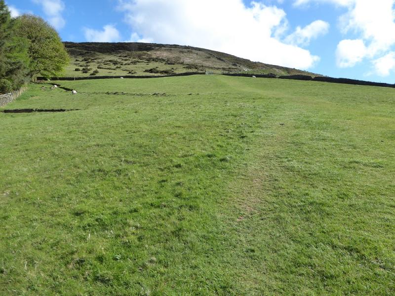
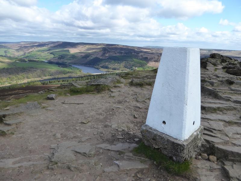
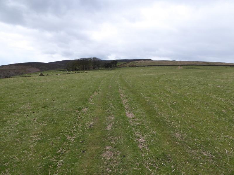
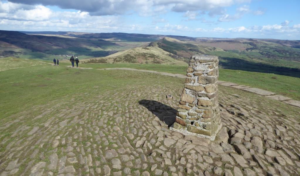
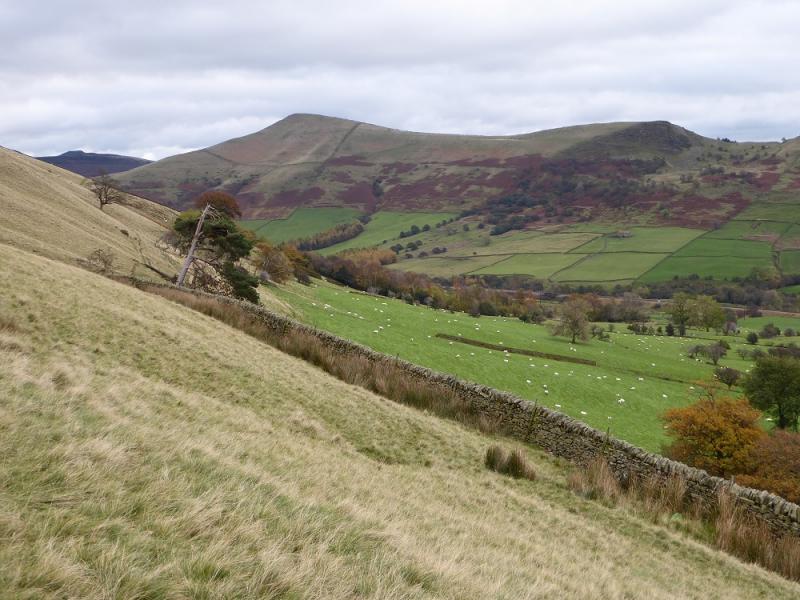
(1) About 400 m up the Edale road from Hope, a right fork is signed for Hope Cemetery and Twitchill Farm. Follow the signs for Twitchill Farm and Win Hill, passing under a railway bridge at one point. The access road to Twitchill Farm is surprisingly steep. The farm is now a cluster of holiday homes and a path leads up from them then heads, steeply, directly uphill. Higher up, the path becomes more stony and leads to the track on the crest not far to the W of Win Hill summit which is a rocky outcrop with a choice of routes to the trig point which is the summit of Winhill Pike, 462 m.
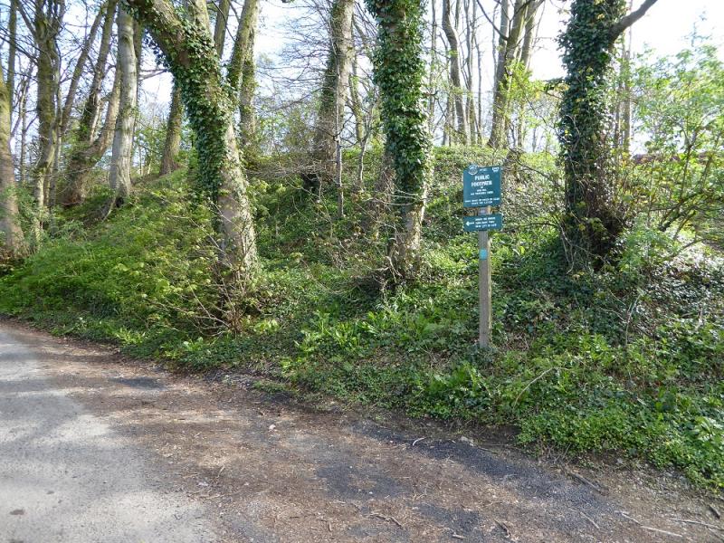
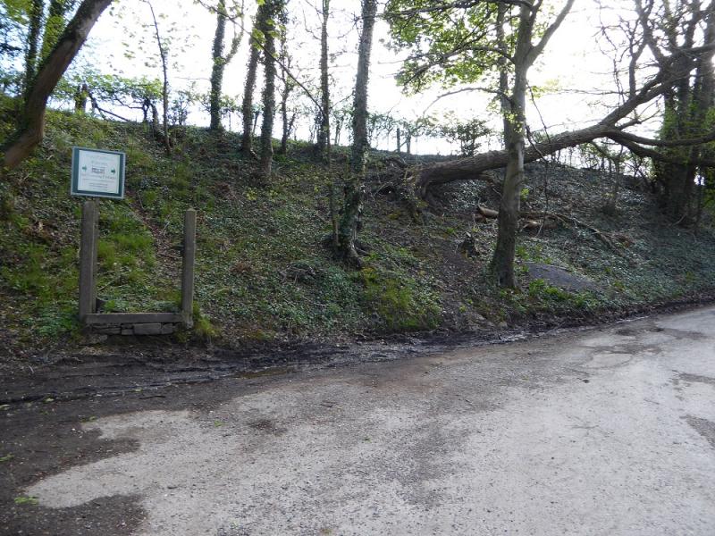
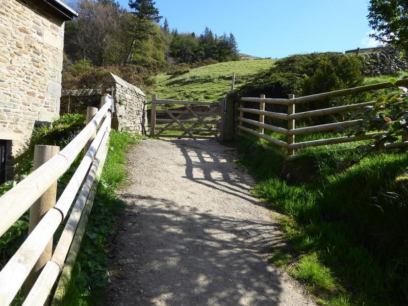
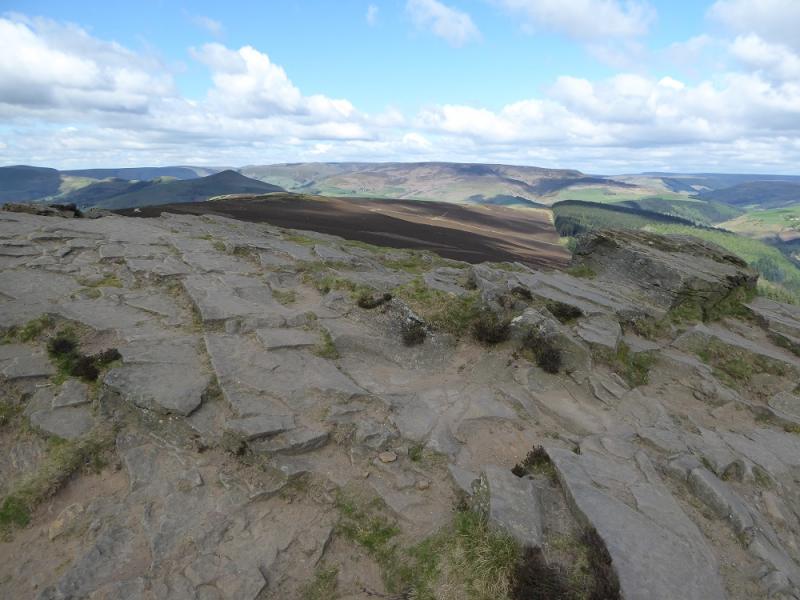
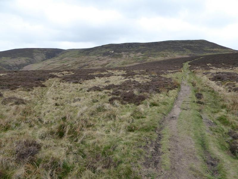
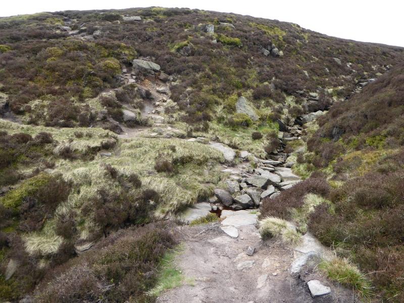
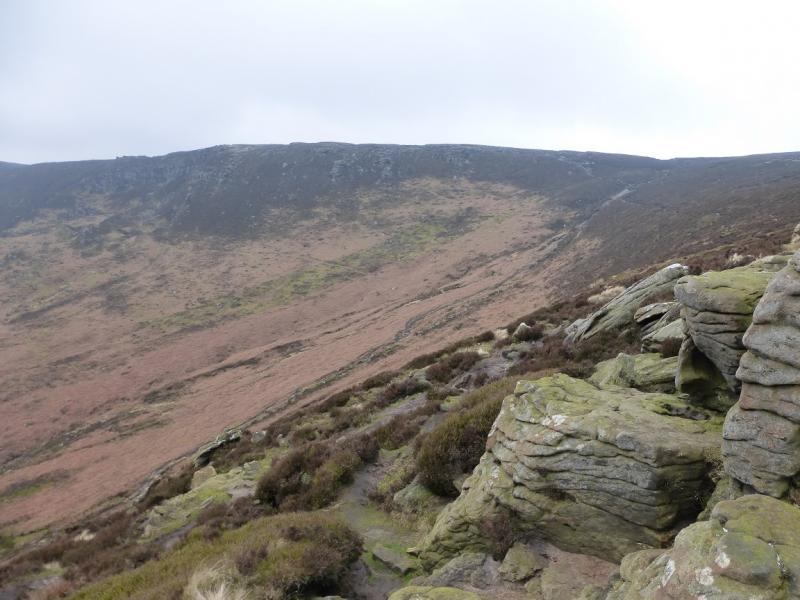
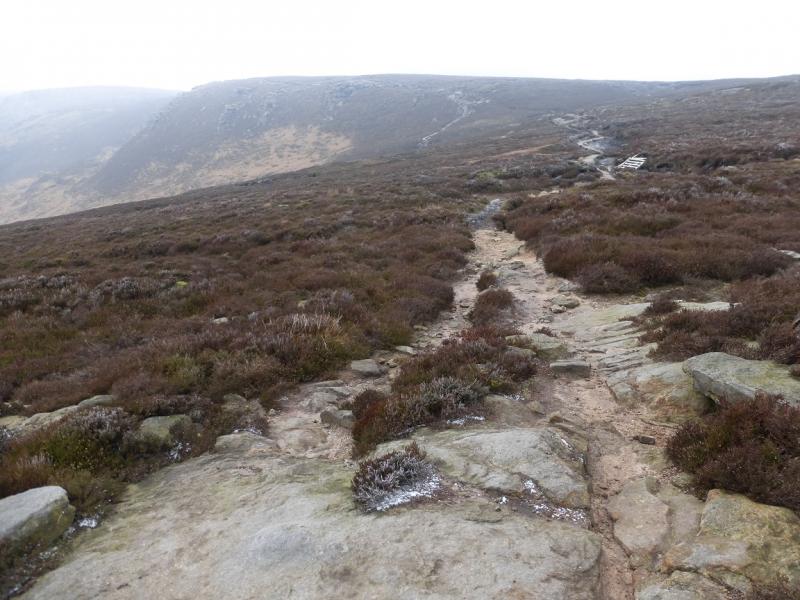
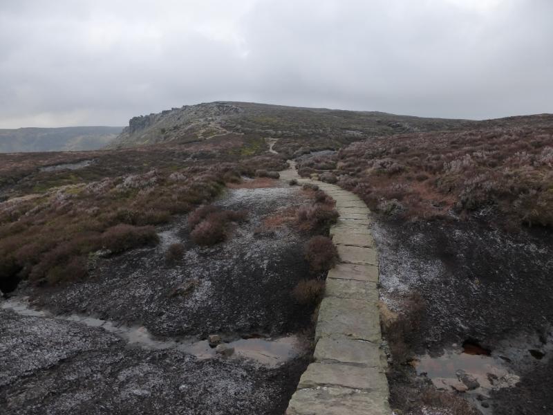
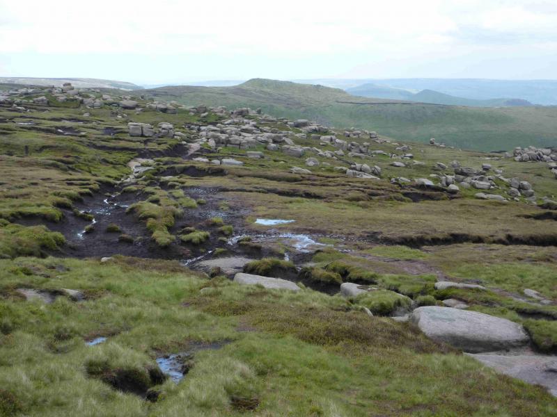
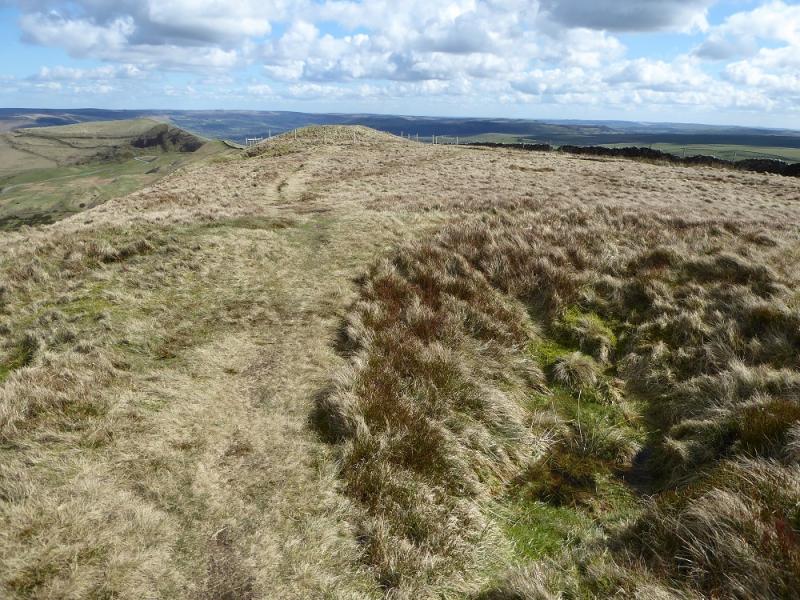
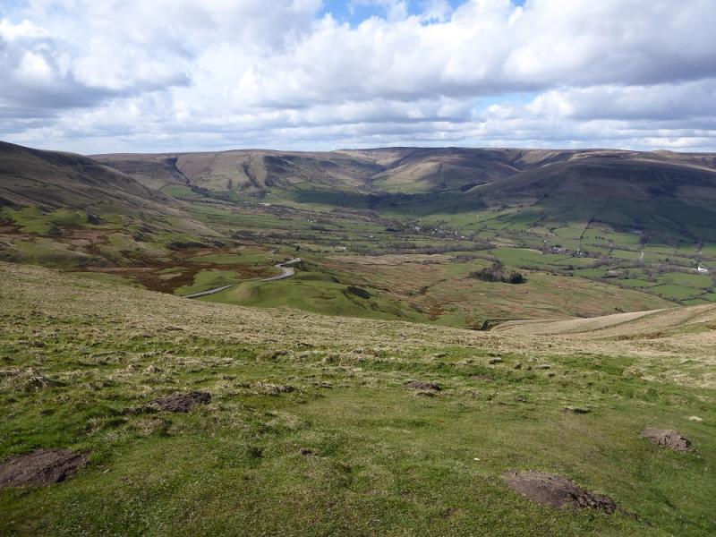
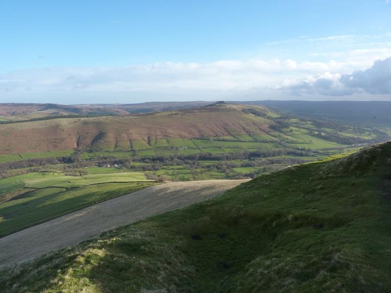
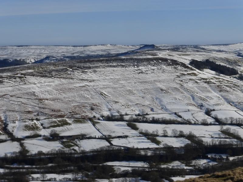
(2) Retrace along the track and stay with it as it goes W along Thorn Hill Brink then NW along Hope Brink before reaching the edge of the wood near Wooler Knoll. Follow the obvious path/track to a signed junction. The direct route goes past Crookstone Barn but this is not a right of way and a locked gate would have to be climbed over so follow the rights of way to the N of the barn then cut back to above the barn and start ascending Crookstone Hill, still on the obvious path. The path crosses the top of Jagger's Clough then continues along the edge of the Kinder plateau heading roughly SW. When a fence appears on the right and some cairns are seen ahead, pick up the edge path across the top of the Ringing Roger ridge. This path soon becomes slabbed and descends slightly.
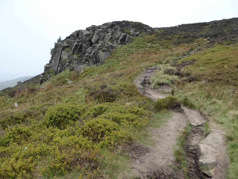
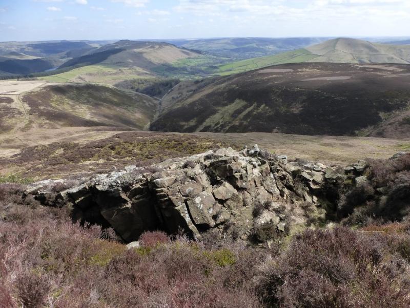
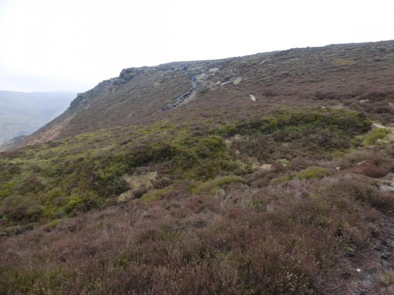
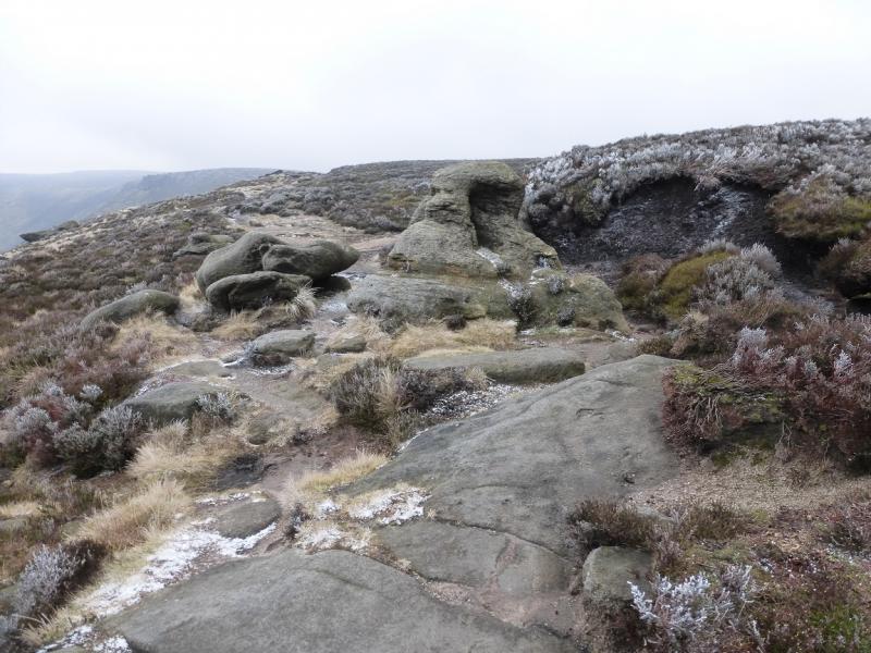
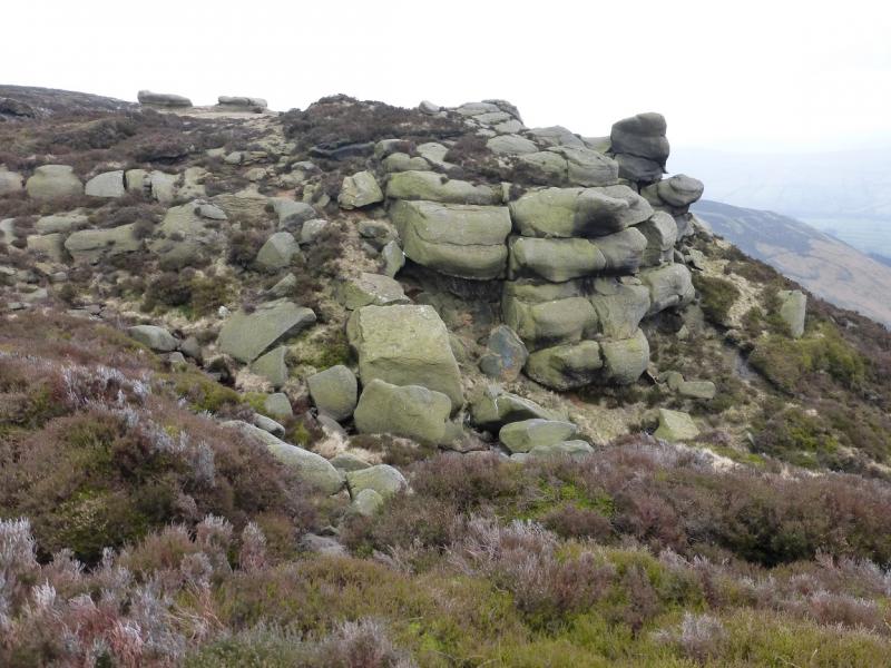
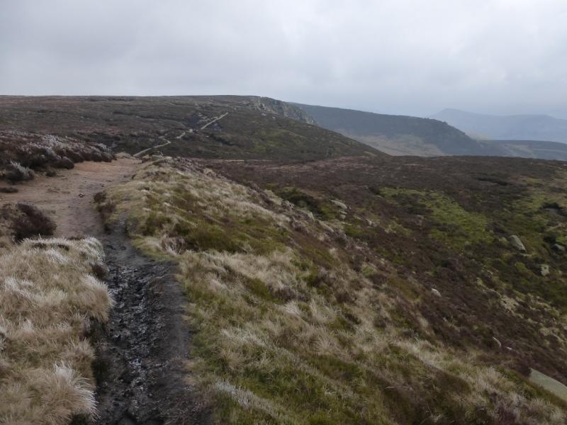
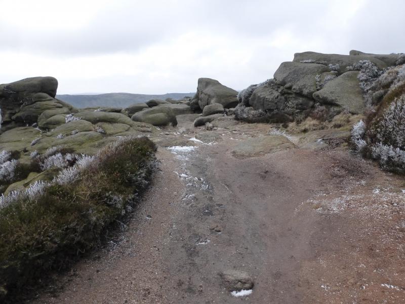
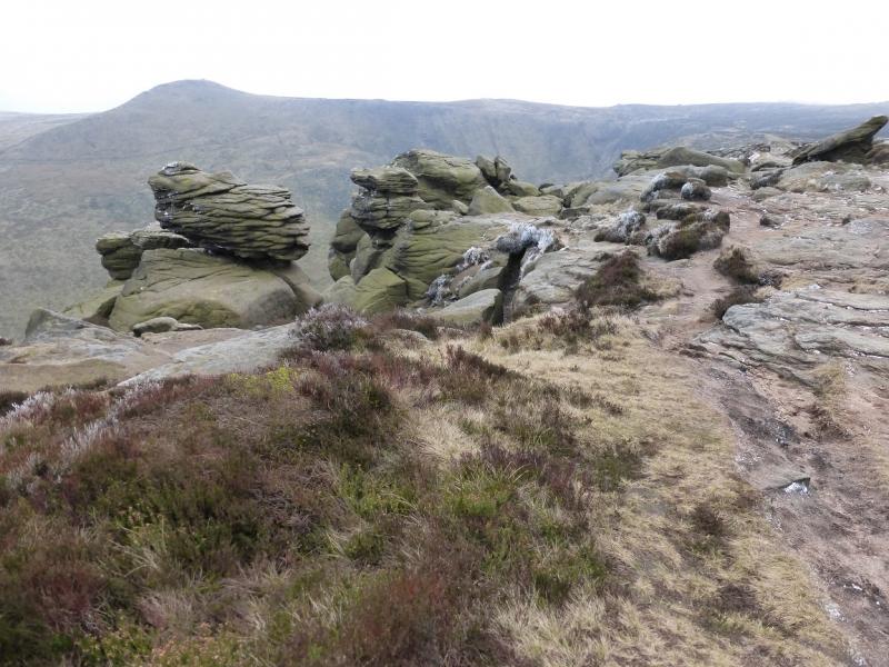
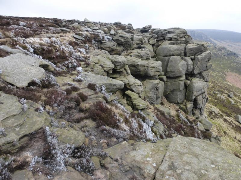
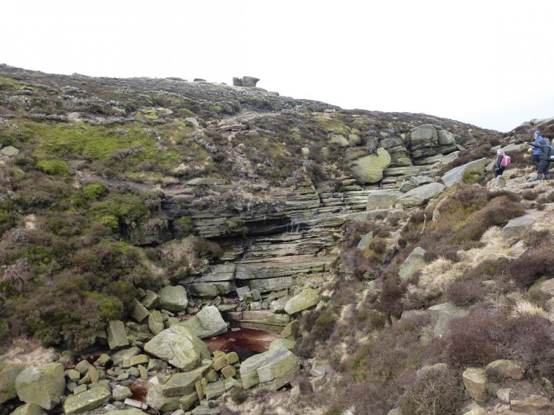
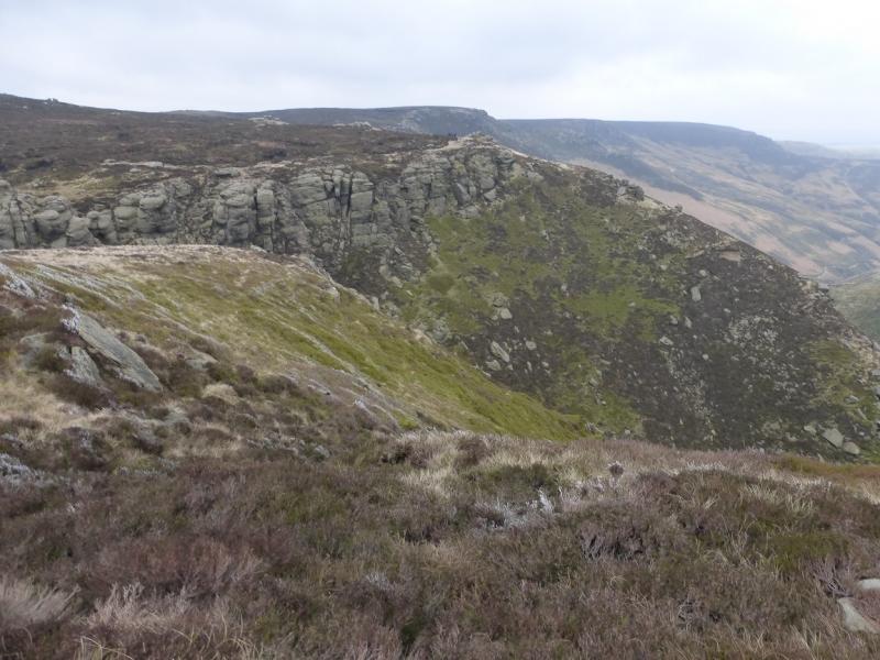
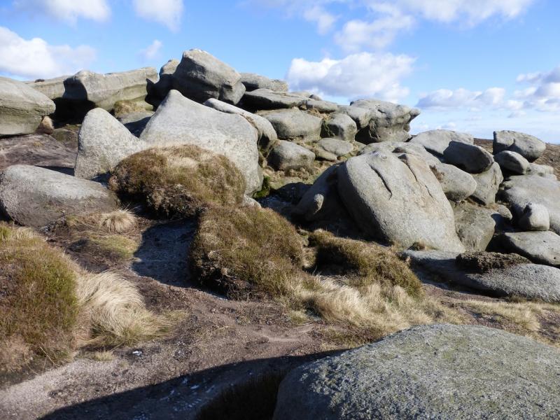
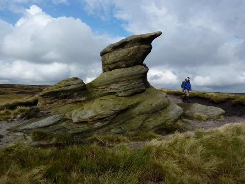
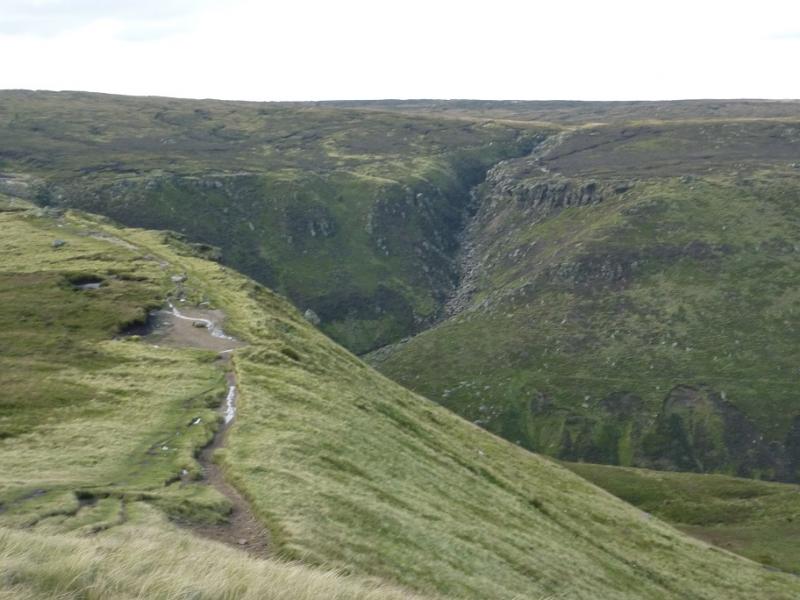
(3) Stay with the edge path, mainly heading W after the first ford/stream is crossed and passing several distinctive outcrops including Nether Tor then Upper Tor. After about 1.5 km of heading W, there is a short detour NW to cross a ford/stream before heading SW for about 300 m after which the path turns right, NNW, to go around a deep clough. When this is crossed, the path goes almost due S for about 400 m to cross the main path coming up Grindsbrook Clough. Stay with the obvious edge path which soon crosses upper Crowden Clough then ascends to Crowden Tower. Just after this is a prominent rock by the path which seems to resemble a snail.
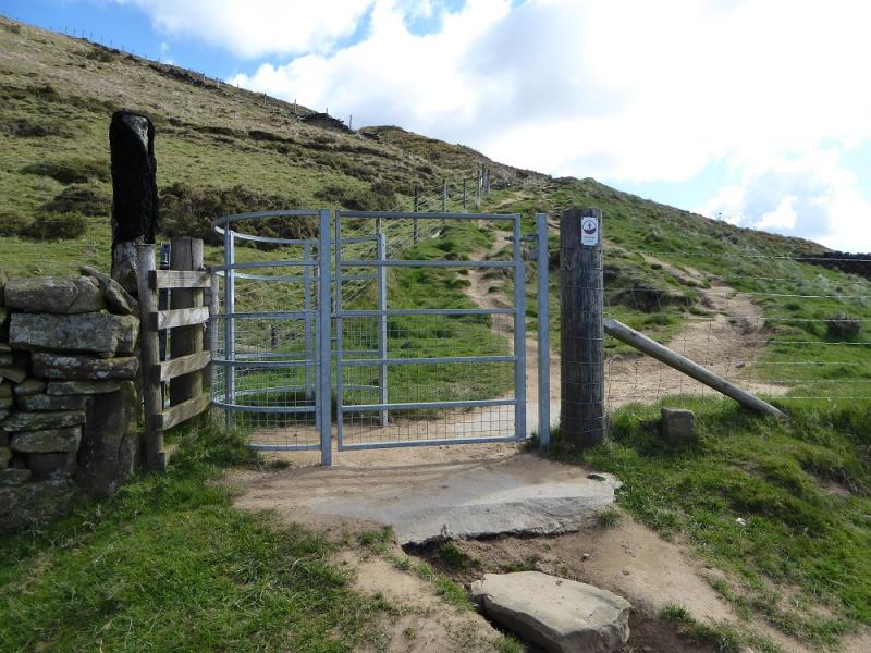
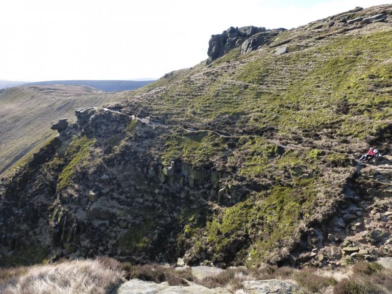
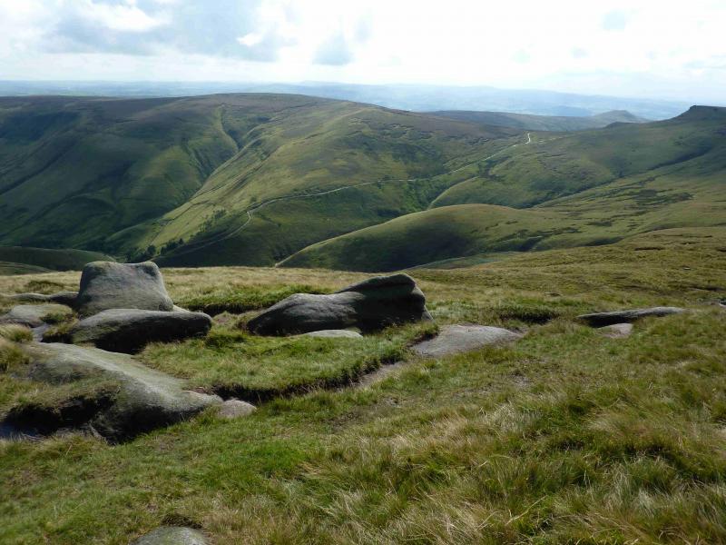
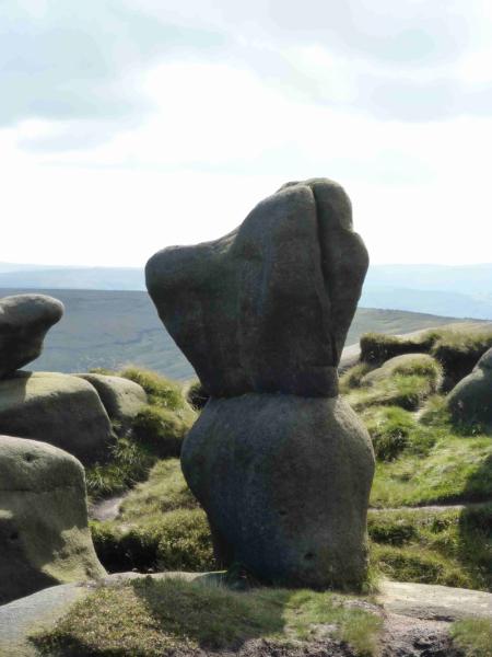
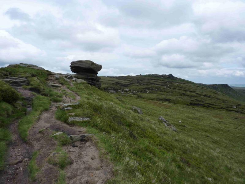
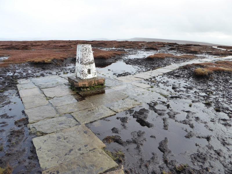
(4) Continue towards the collection of outcrops known as the Woolpacks. The easiest route is well to the left, S, but in the dip is the rock tower which some say resembles Winnie the Pooh. Continue and see Pym Chair to the right and a very large outcrop, often called the Pagoda ahead. Continue ahead and reach an isolated rock known as Noe Stool. Beyond here, follow the edge path which soon joins the Pennine Way then turns S to reach the Pennine Way sign at the top of Jacob's Ladder. Continue ahead and follow a slabbed path to the W of a wall after going through the gate by the sign. This path leads to South Head so it is left just after its highest point to join another slabbed path which soon leads to the trig point of Brown Knoll, 569 m.
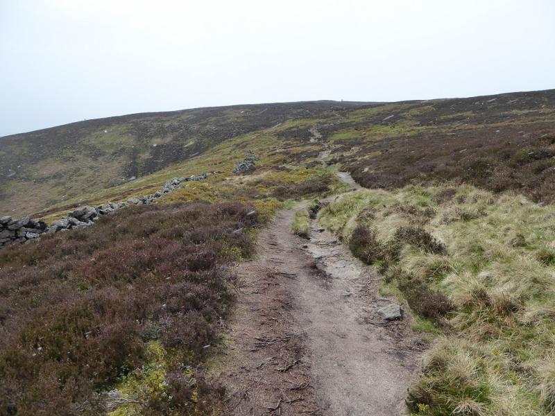
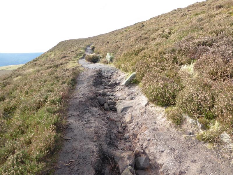
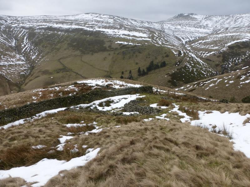
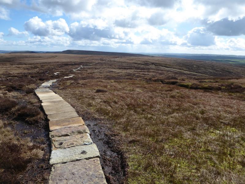
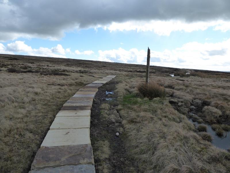
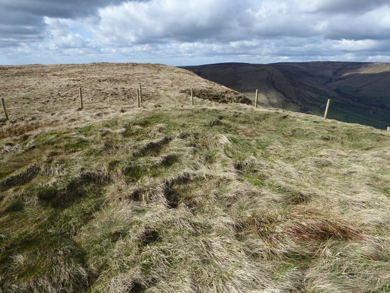
(5) Continue on the slabbed path. If it is clear, the castle like air shaft will be seen to the S. Follow the slabbed path to its end, just after a high post, where it meets an obvious track. Turn right and follow the track until it splits just before a wall. Take the left option which follows the wall up. Continue up until a small fenced off mound is reached which is Lord's Seat and usually considered to be the highest point on Rushup Edge. There is no cairn but this is probably Rushup Edge, Lord's Seat, c 540 m. Note that the preceding similar mound is about the same height. This has a faint path to it from the track.
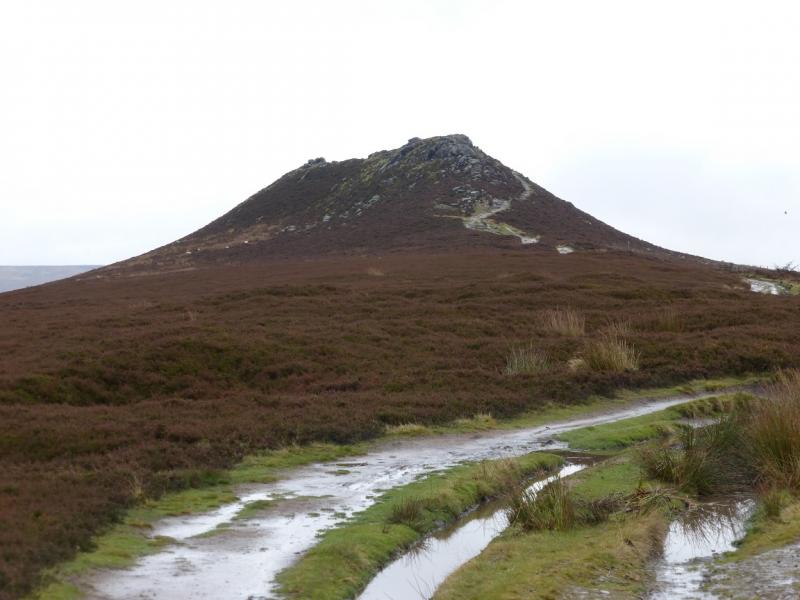
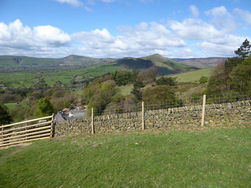
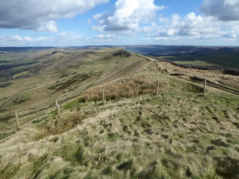
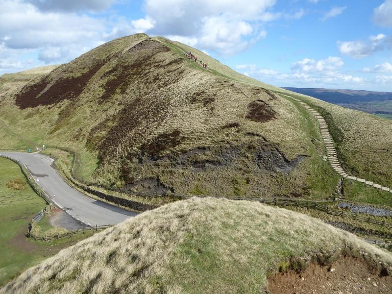
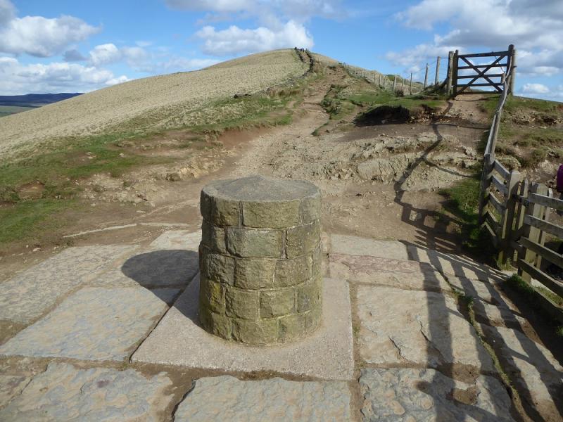
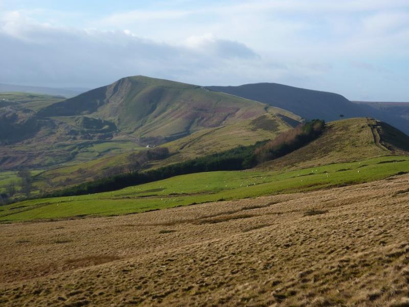
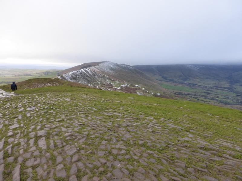
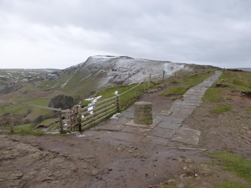
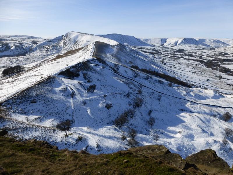
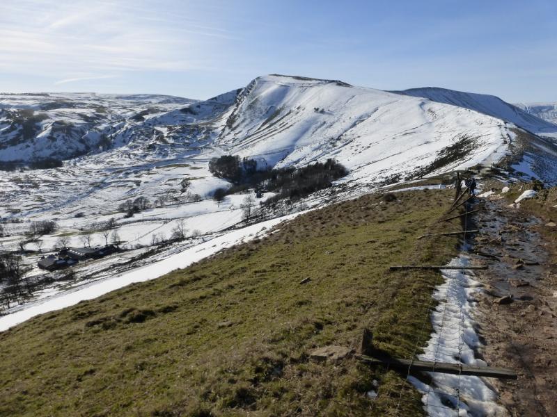
(6) Continue on the obvious path and descend to the road going over the pass. Cross over and ascend the steps to reach the trig point which is the summit of Mam Tor, 517 m.
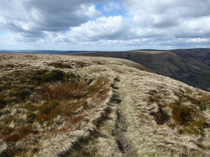
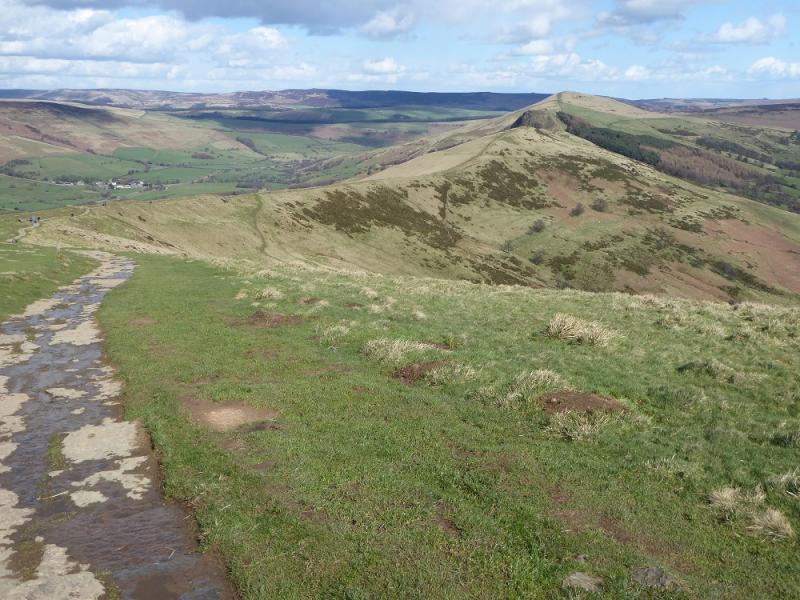
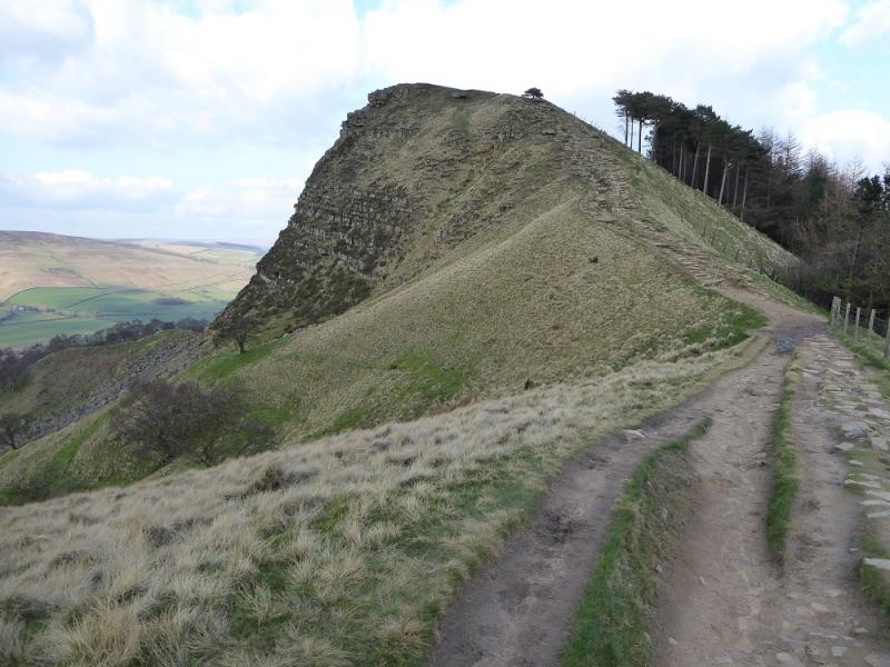
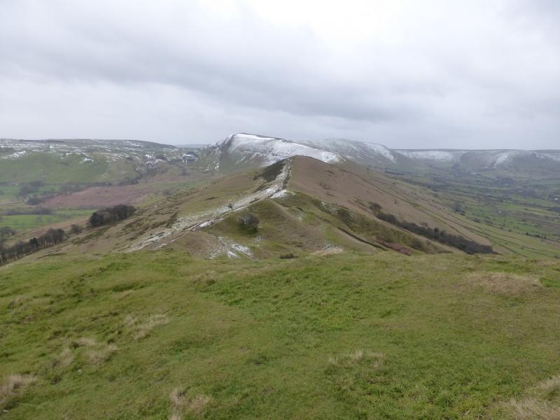
(7) Continue on the same path and descend to the dip known as Hollins Cross where there is a viewfinder cairn. Continue up the other side over an unnamed top then down to a dip then up, with the “cliff” on the left to reach the top of Back Tor, c 430 m.
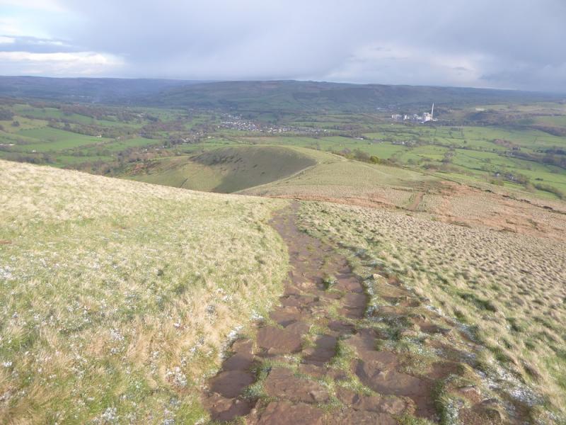
(8) Continue along the ridge to a dip then up to the grassy summit with a viewfinder cairn which is Lose Hill, 476 m.
(9) Take the obvious path down the SE ridge to reach the Edale road near Townhead Bridge. Turn right for Hope and walk along the road.
Notes
(a) This walk took place on 25th April, 2017.
Photos - Hover over photo for caption. Click on to enlarge. Click on again to reduce.