Get Lost Mountaineering
You are here: England » Peak District » Kinder, Brown Knoll & South Head from Hayfield
Kinder Edge Orbital Path via Kinderlow End from Bowden Bridge
Kinder Edge Orbital Path via Kinderlow End from Bowden Bridge
Start/Finish
Hayfield campsite or Bowden Bridge car park. If coming from the south or east, take the A619 from Chesterfield to Baslow before picking up the A623 signed for Manchester. Those approaching from Buxton, on the A6, will meet this route at a roundabout just before Chapel-en-le-Frith. Soon after, take the A624 signed for Glossop. Continue on this road until the right turn into Hayfield village is reached. Turn in then go left and pass the church before crossing the river then follow the road on the N side of the river until past the Sportsman pub. Soon after there is a right turn, over a bridge, for the campsite. There are public toilets just across this bridge. The Bowden Bridge car park is a little further along the road after this turning. Those approaching from Glossop should fork left on the one way street into the village until the above route is joined. There are a few signs in the village for the campsite which may help.
Distance/Time
32 km. About 10 hours.
Peaks
Kinder Low, 633 m, SK 079 870.
Grindslow Knoll, 601 m, SK 109 867.
OS Outdoor Leisure 1: Dark Peak
Introduction
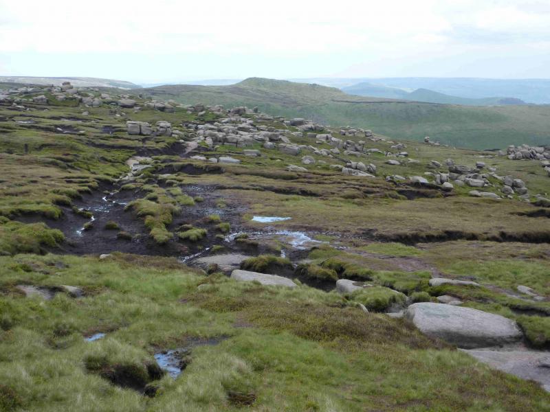
This is a very strenuous walk which contains some rough and boggy sections especially in wet conditions. The walk around the edge of Kinder can be started anywhere which gives access to the orbital path but Bowden Bridge is probably the easiest option. Most of the way, the orbital path is obvious but, in a few places, there are options. The general rule is to follow the path on the edge of the plateau just above the steep slopes. It is also debatable as to what should be included; this route includes Edale Rocks and Grindslow Knoll which some may wish to exclude. Some may even wish to include Swine's Back (just beyond Edale Rocks); some may wish to cut the corner near Crookstone Knoll.
Route
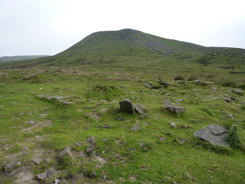
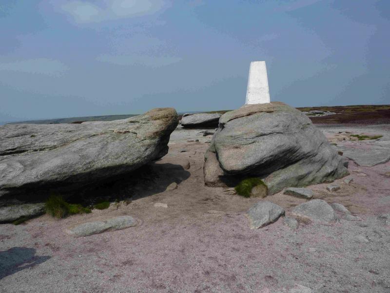
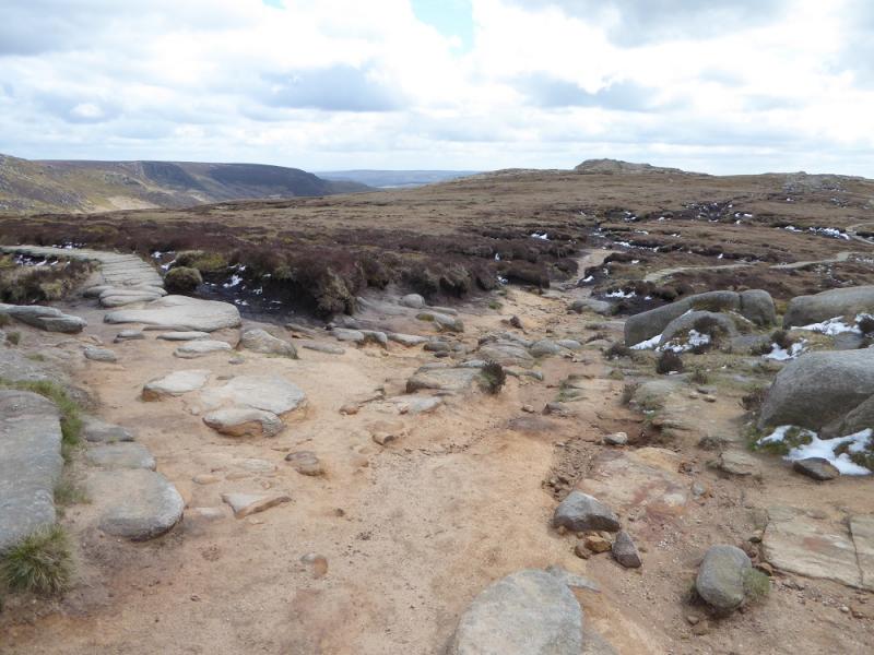
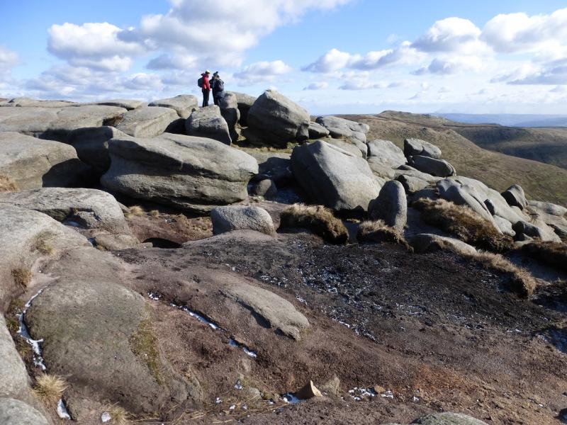
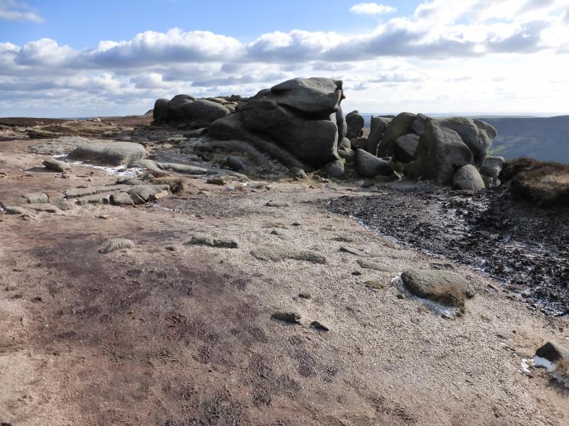
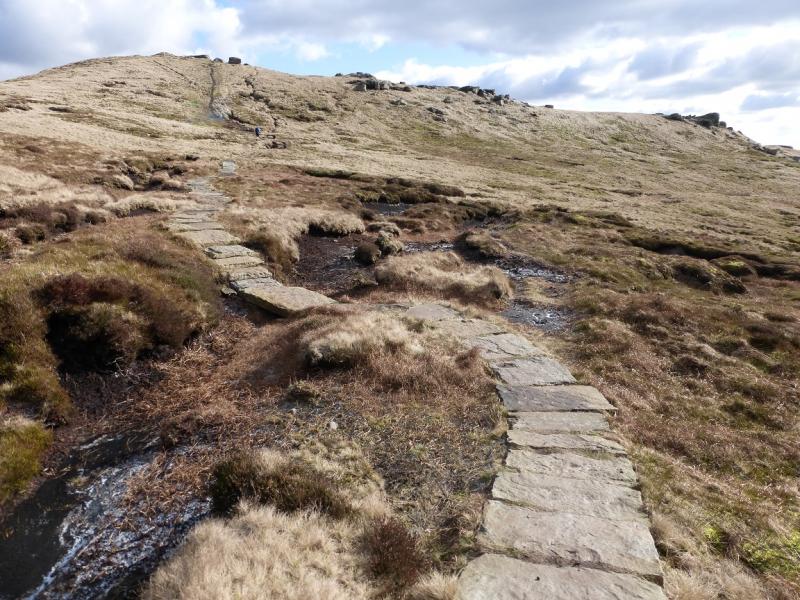
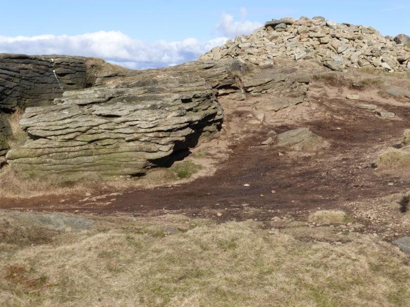
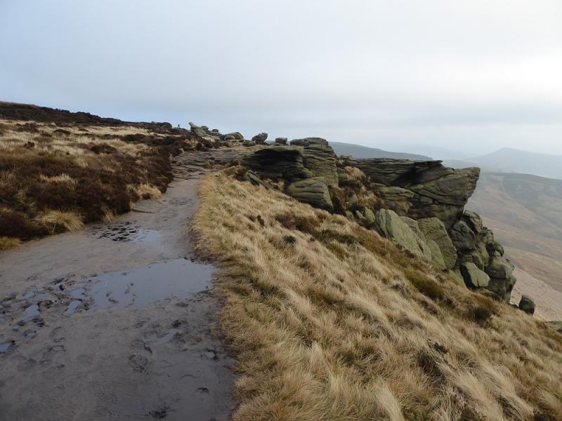
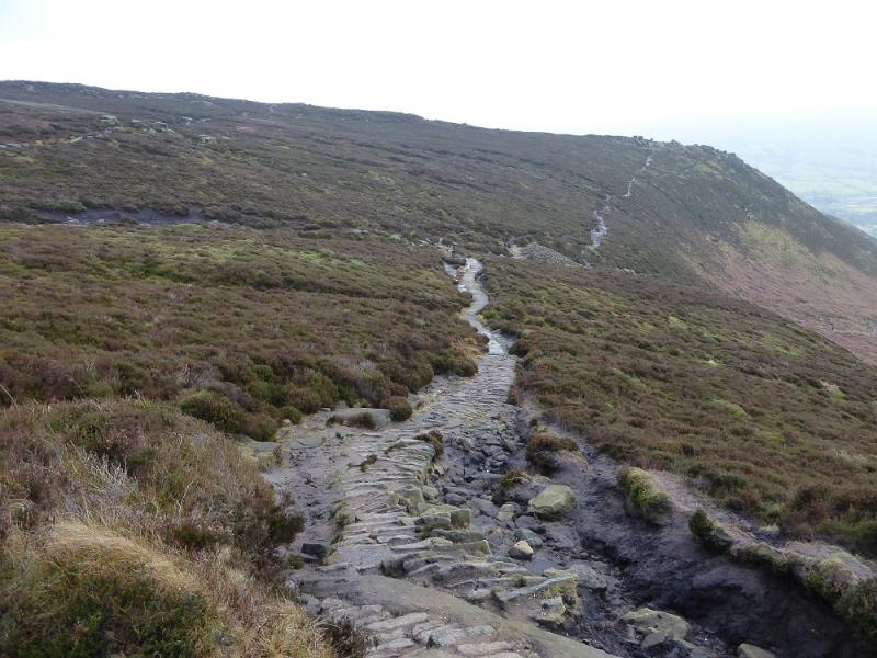
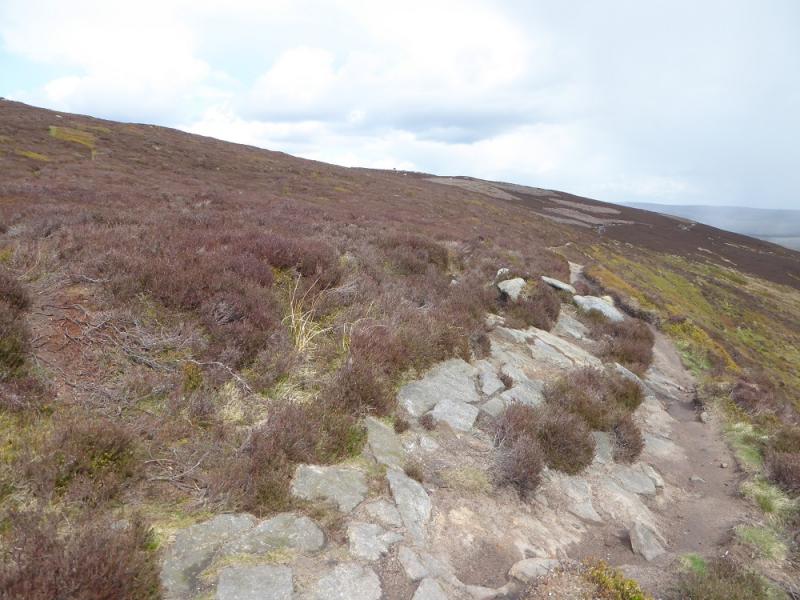
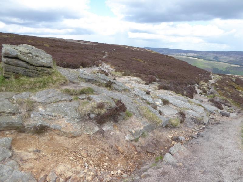
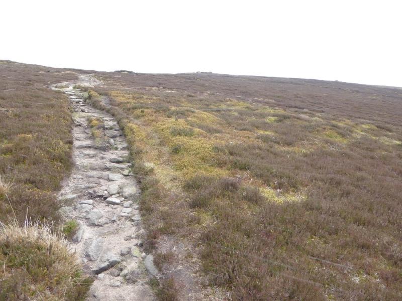
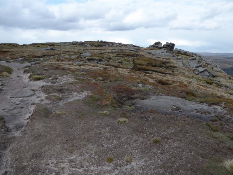
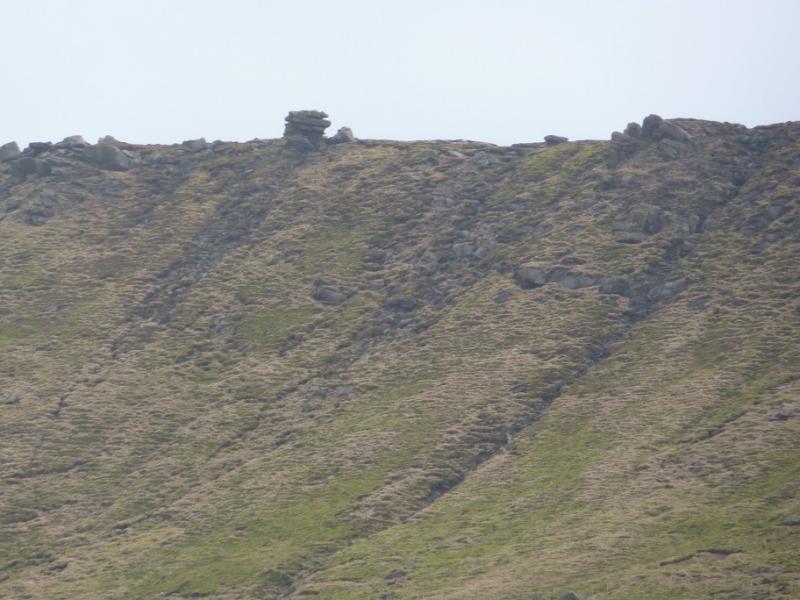
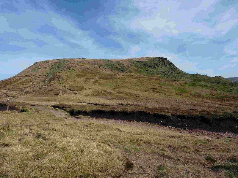
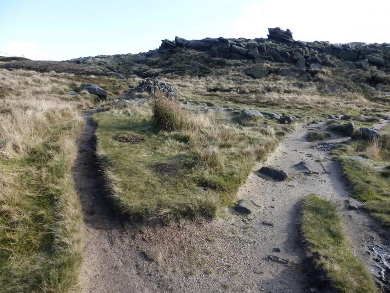
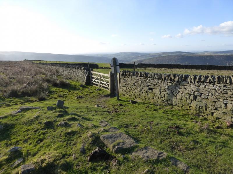
(1) From the bridge by the public toilets, turn left (camp site is right) and walk up the minor road with the river on the left. Soon the river is on the right. Keep going ahead at junctions, aiming for Tunstead House which is signposted. Walk up the track which goes around the right hand side of the buildings before heading E up a green lane. Follow this, shadowing a wall on the right, crossing stiles and passing through gates. Finally cross the wall on the right near to the National Trust sign, just past the wall. Walk up the side of the same wall, soon passing through another gate, before a path goes off to the right aiming for the obvious nose of Kinder Low End. A lovely engineered path takes over for the steep section. When the path levels out, continue. It soon becomes a slabbed path. Ignore another slabbed path going off right. Soon some cairns appear. Follow them until a very large cairn is reached. Turn right here and within 40 m, reach the trig point of Kinder Low, 633 m which stands on a boulder.
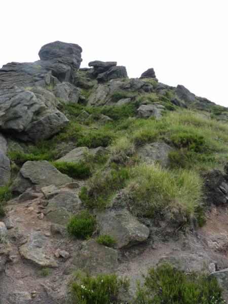
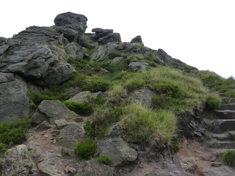
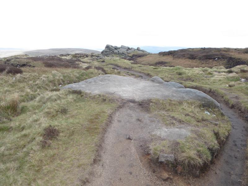
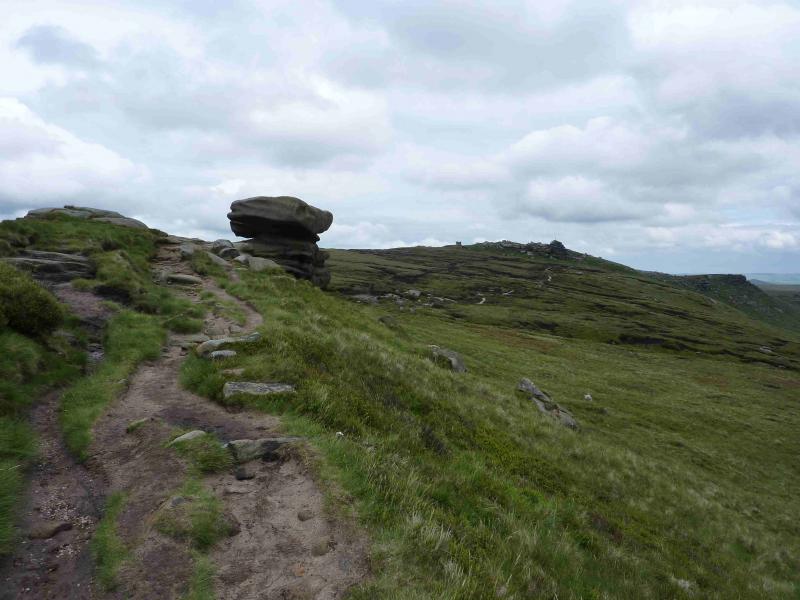
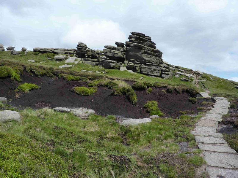
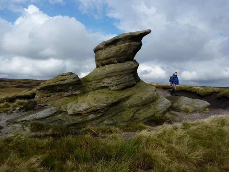
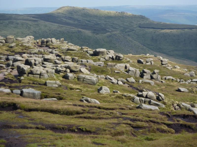
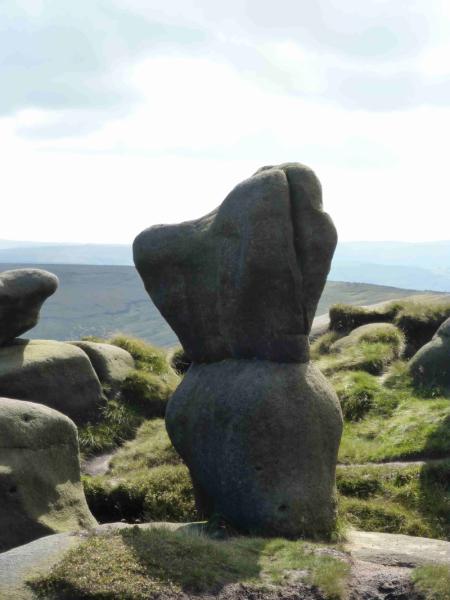
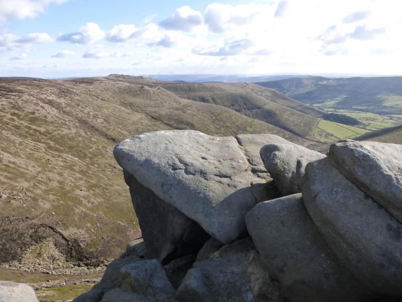
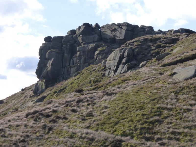
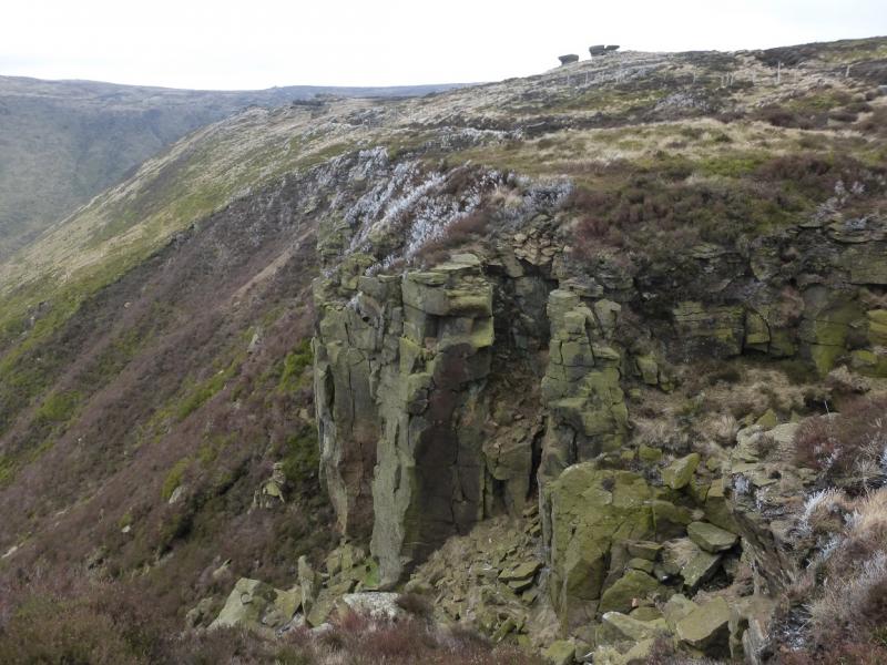
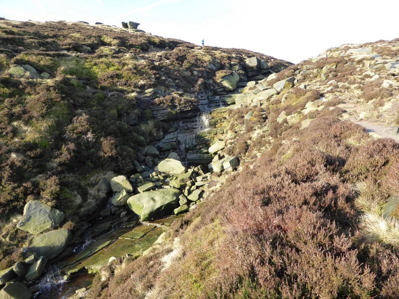
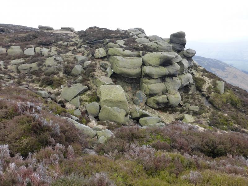
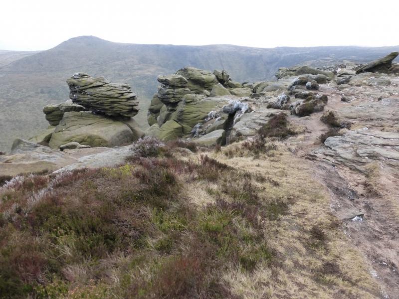
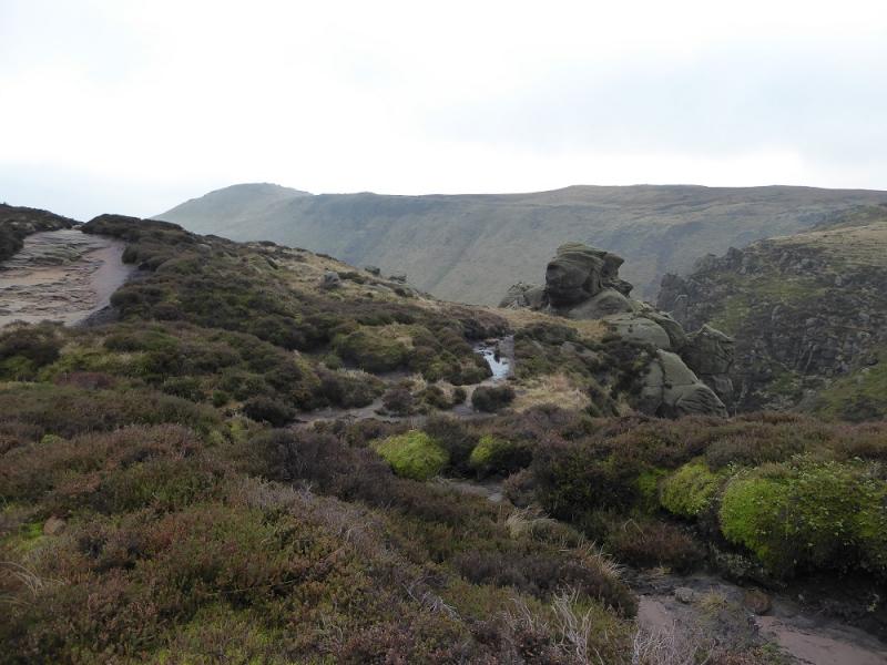
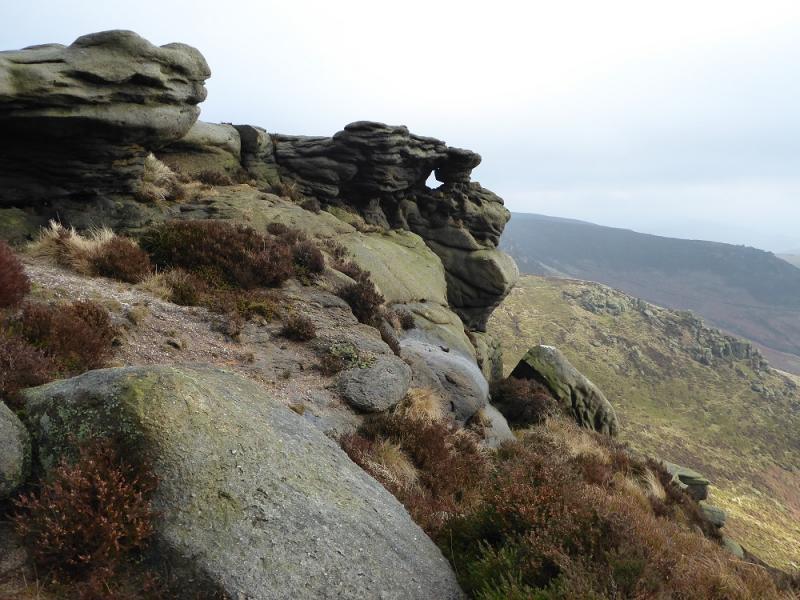
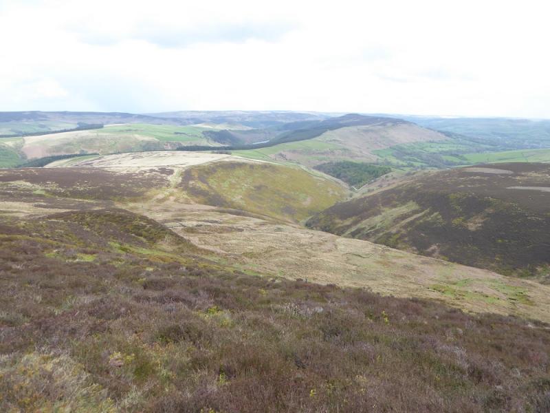
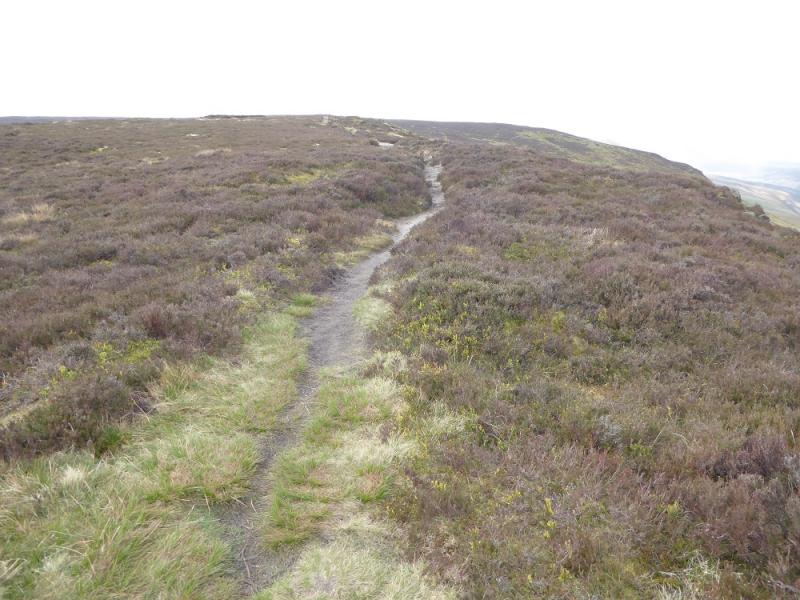
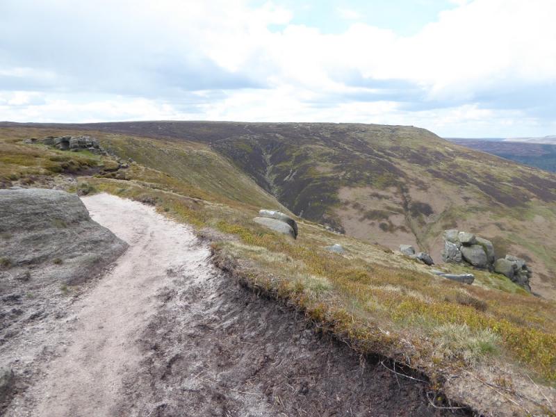
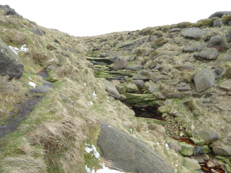
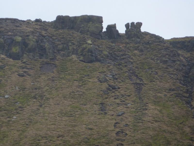
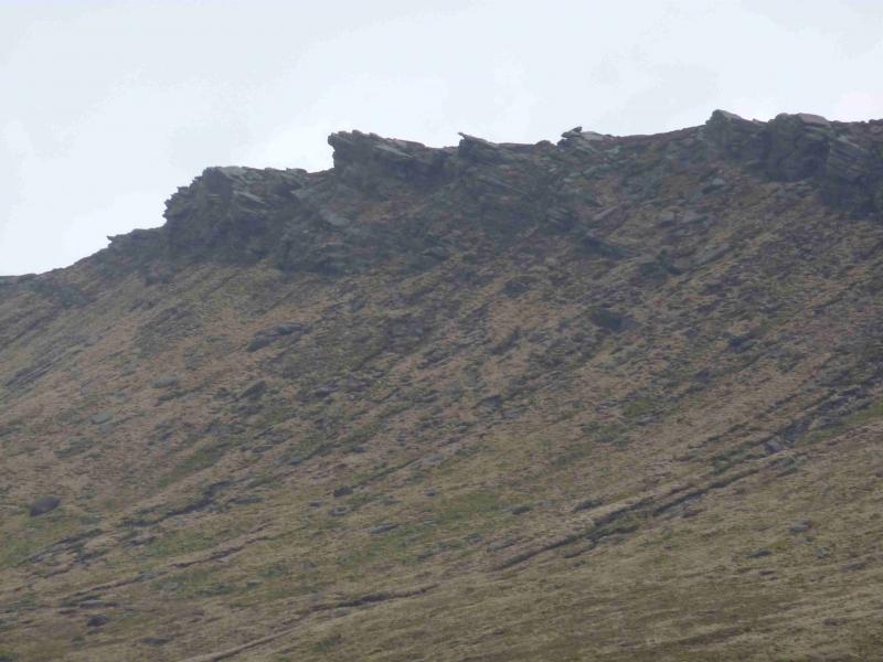
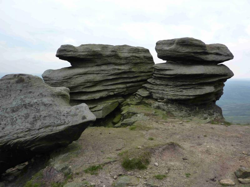
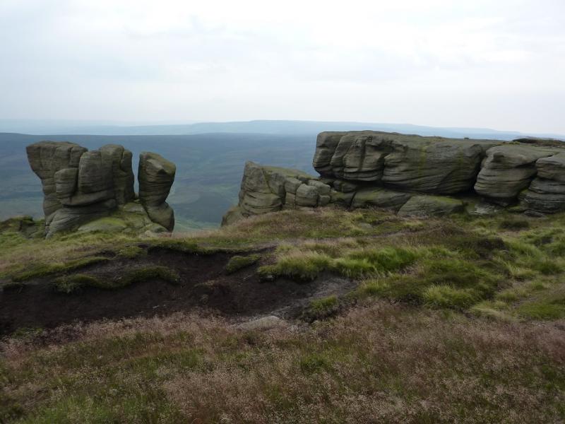
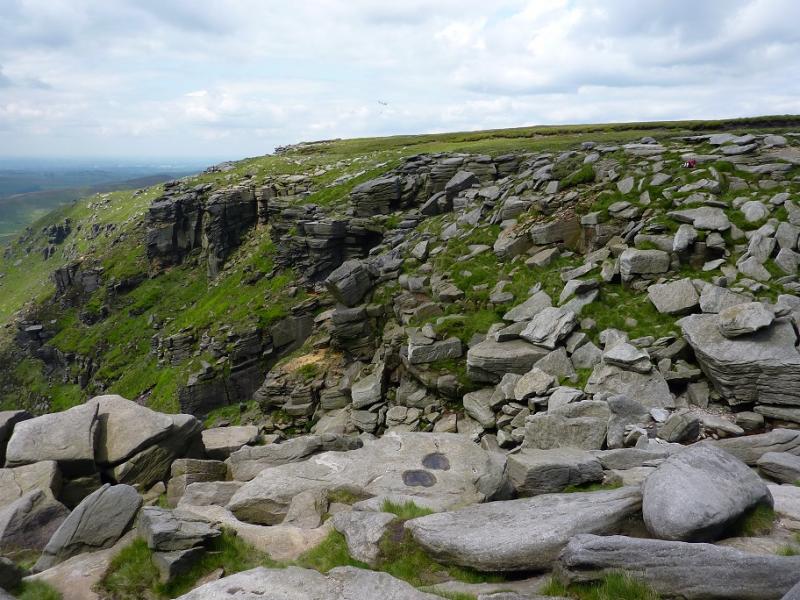
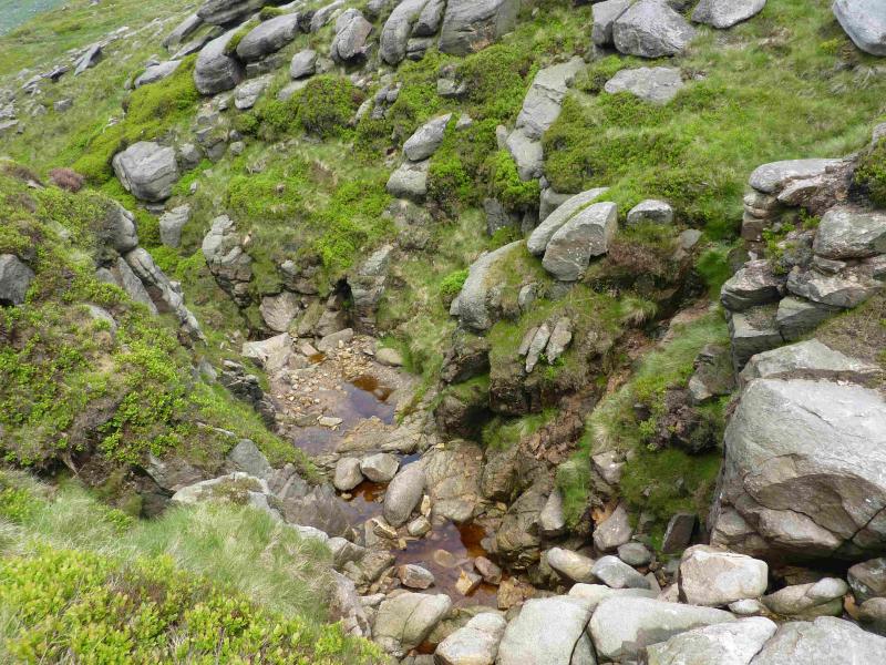
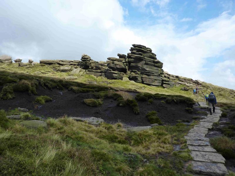
(2) Walk S, on a fairly obvious path, and soon reach Edale Rocks, a massive outcrop, in about 400 m. Turn E here and soon pick up the main edge path. This soon leads to a large isolated boulder, on the right, called Noe Stool. which is similar to the Salt Cellar on the Derwent Edge. Continue, now heading E, to an area of many outcrops with a rocky tower resembling a pagoda and the distinctive Pym Chair just to the N. Beyond here are many scattered small boulders known as the Woolpacks. This area can be quite boggy with the driest path well to the right but if you wish to visit the rock which some say resembles Winnie the Pooh then keep left and look for one of the tallest towers in the hollow. The best viewpoint is from the NE but you may need to move around a bit as well as some convincing that it looks like Winnie the Pooh! Continue to pass a large rock by the path which looks like a large snail and is just before the large outcrop known as Crowden Tower. The path then, almost immediately dips to cross Crowden Brook. Continue, more like ESE now, to where the path splits. Take the right fork and, after a small rise, reach the top of Grindslow Knoll, 601 m, where there is a prominent cairn.
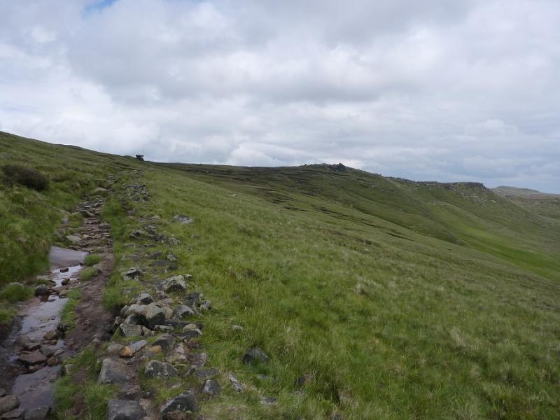
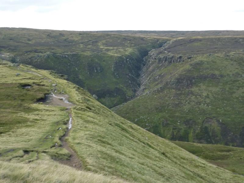
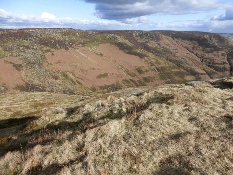
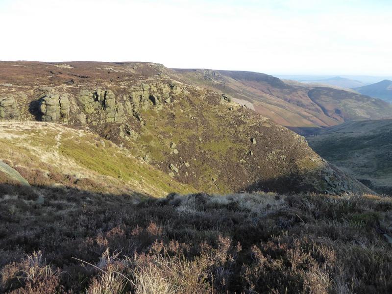
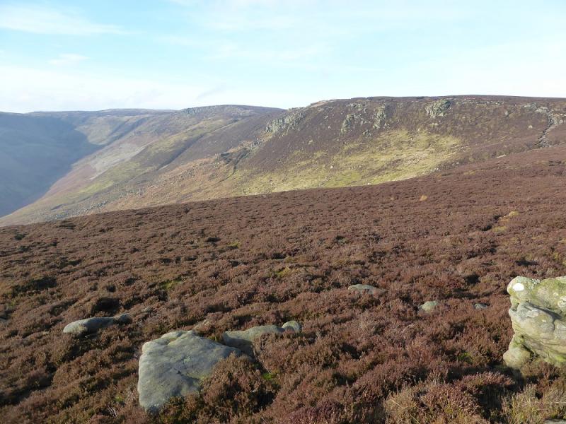
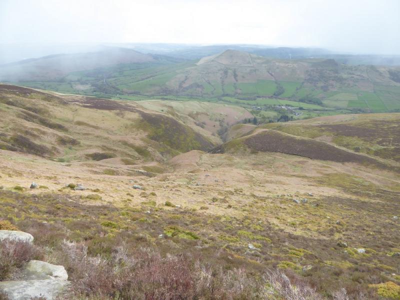
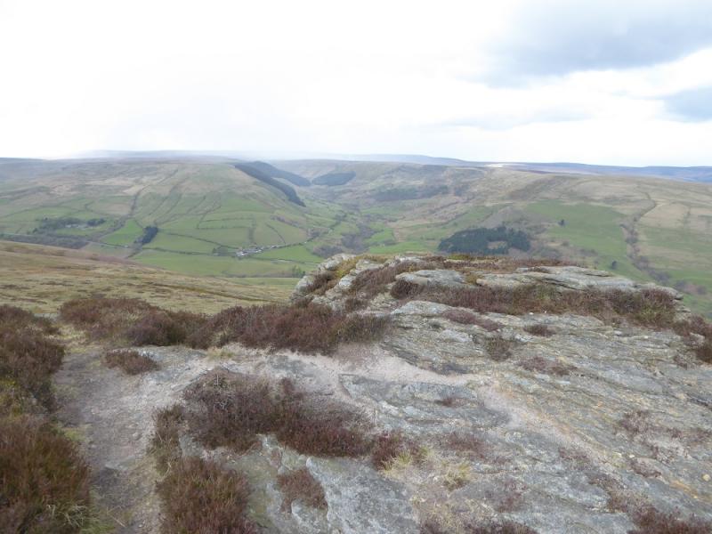
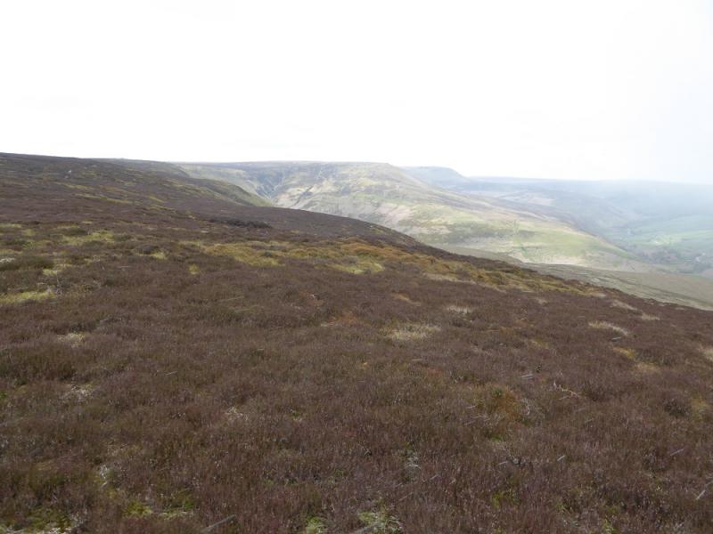
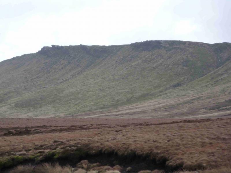
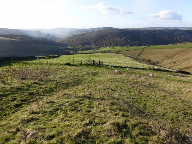
(3) Take the path going roughly NW along the edge of Grindsbrook Clough to rejoin the main edge path about where it crosses the W spur of Grindsbrook Clough. Follow the edge path around the top of the northern spur of Grindsbrook Clough. Cross the stream by a choice of routes then follow the edge path back along the side of the northern spur then roughly E, on an obvious path, over Upper Tor then Nether Tor. If it is clear, then Trig Point 590 will be seen in the distance on the highest part of the eastern end of the plateau. Cross the upper part of Golden Clough on the upper path. The lower path has a very large cairn in the clough then continues to the rocks on Ringing Roger. The upper path, which this route uses, reaches the Ringing Roger crest above the rocks and between two large cairns. Follow the edge path, roughly E, past a fenced area on its lower side then the path swings right following the edge above Ollerbrook Clough then above Lady Booth Clough. Continue following the edge and cross the top of Jagger's Clough and continue to the top of Crookstone Knoll, the far NE corner of the Kinder plateau. On a clear day, Ladybower Reservoir, the Snake road and the Alport Valley will be clearly visible.
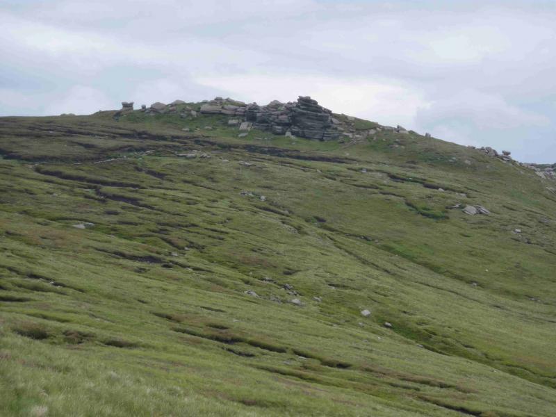
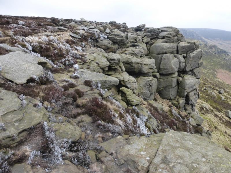
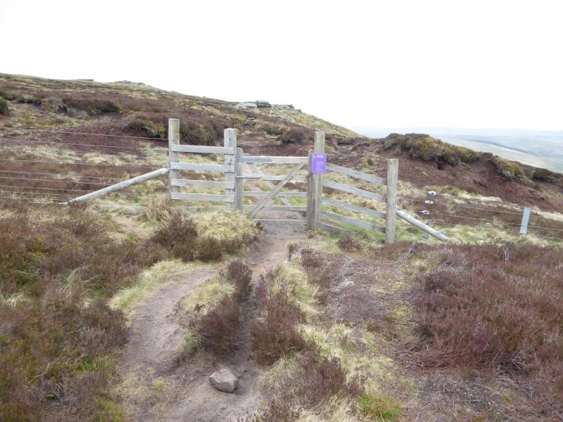
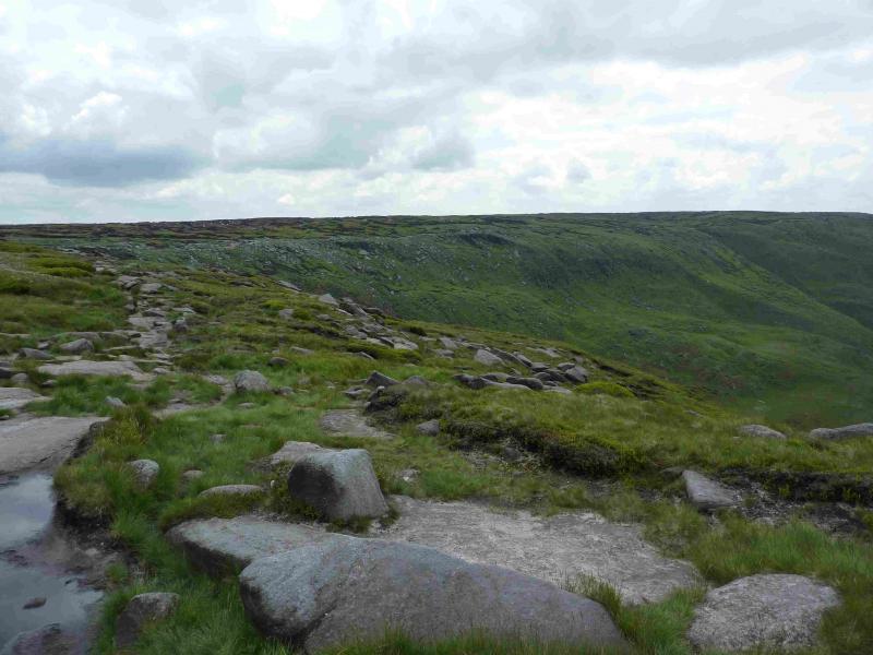
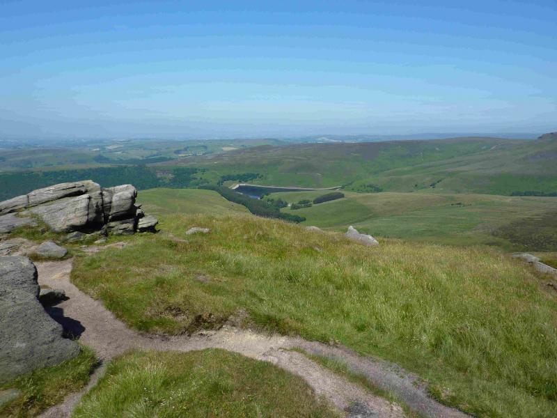
(4) Turn left, roughly W, and follow the faint path which becomes more distinct when it joins the path which cuts across from the top of Jagger's Clough. Continue along Blackden Edge until the path crosses the head of the large gully containing Blackden Brook and gradually swings N. Soon a gate in a new fence is passed through. If the more obvious path is followed then the path passes below most of the outcrops. To see these on the same level and see their interesting shapes then go higher where there is another path. The route turns W again along Seal Edge before reaching an even larger gully which contains Fair Brook. A sizeable detour, S, upstream is needed to cross the gully before the path, on the other side, returns one, N, to the edge on the wide promontory known as Fairbrook Naze passing several large outcrops before the edge turns W again, called The Edge, for a further 3 km before reaching a fence, crossed by a stile. Continue and soon after reach a wide path which is the Pennine Way coming up from the top of William Clough and heading for Kinder Downfall. There is a huge cairn near to where the Pennine Way is met.
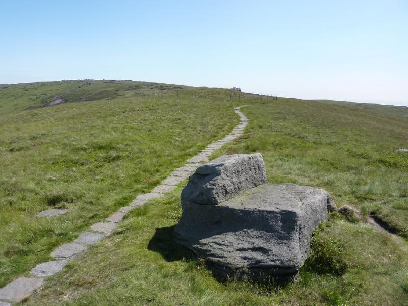
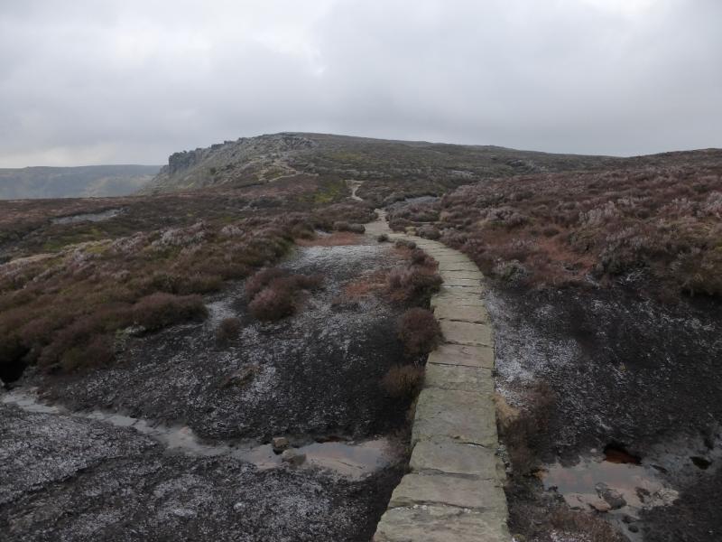
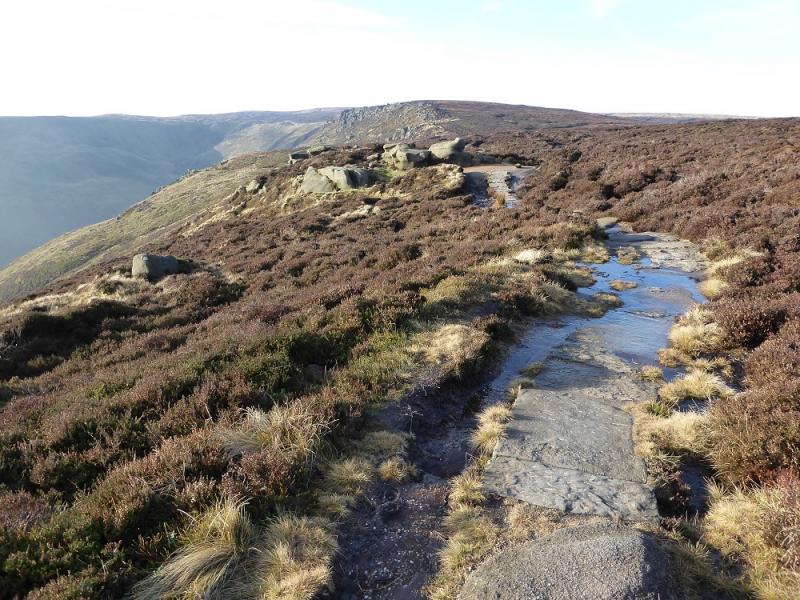
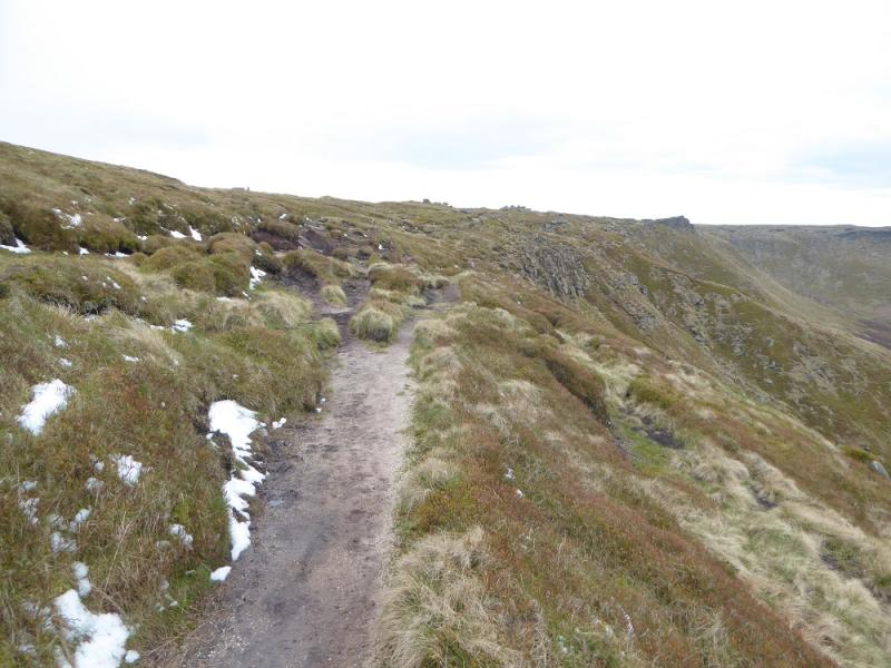
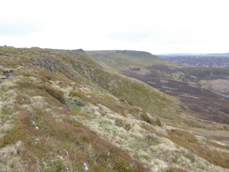
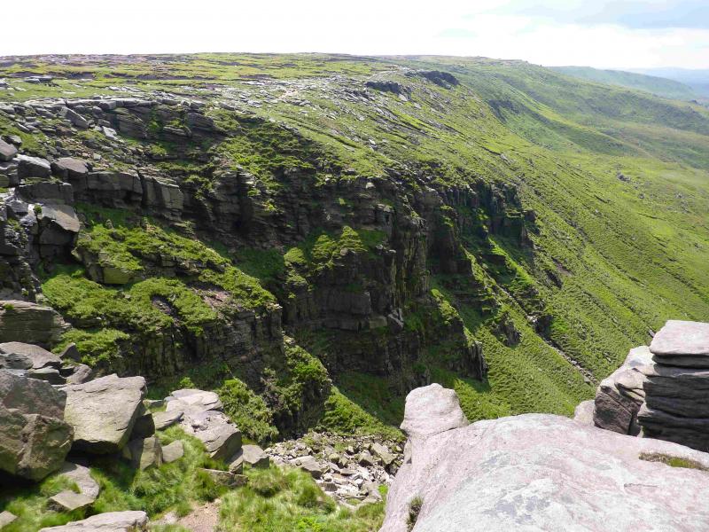
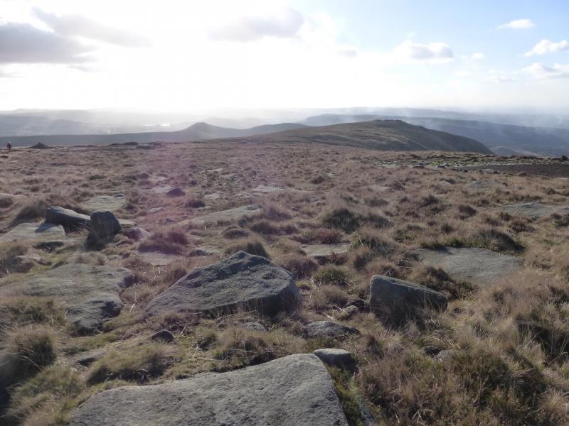
(5) Follow the obvious path, along the edge, generally S to SE. If the weather is bad, there are some useful rocks to shelter behind and, on the right of the path, there is a rocky groove which offers the best shelter. Continue on the path, gradually ascending. Follow the edge path to a “summit” by an outcrop after which the path descends. Continue following the path which undulates from here on. In just over 2 km from the NW corner, the edge path cuts into the plateau to reach Kinder Downfall with cliffs either side. Cross the River Kinder easily (unless it has been very wet recently) and follow the edge path again, this time S, for about 1 km, to reach Red Brook which is a much smaller version of Kinder Downfall. Continue along the edge, still on a fairly distinctive path which gradually starts to gain height. Kinder Low is about 1 km S of Red Brook. As one approaches, cairns appear. The path splits below a large outcrop. It is best to go left here, ascend a little then stay on the edge path to the right; taking the lower option gives a path that soon runs out leaving one to cross rough ground. When a very large cairn is reached (massive compared to the others), the trig point will be obvious in clear weather as it is only about 60 m away. In thick weather, walk on a bearing of about 70 degrees and soon reach Kinder Low, 633 m, as visited much earlier.
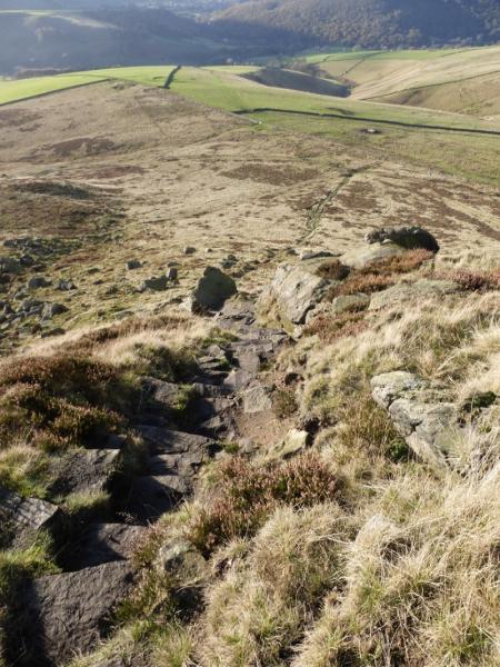
(6) The return from Kinder Low to the start is the retrace of the outward route but it is described anyway for those who by now are quite weary! Retrace to the very large cairn and follow the edge path S then SW heading for the Kinder Low End spur. The path has well spaced smaller cairns, easily seen in clear weather but too far apart in mist. The path leads to a slabbed path. When on this slabbed path, ignore the turn off left on to another slabbed path and stay on the Kinder Low End path. Follow this, descending gently until Kinder Low End is reached. This is steep and rocky but there is a very good stepped path which makes the descent very straightforward. At the bottom, continue ahead to reach a major path and go left through a gate. Drift right towards the wall and soon reach another gate where there is a notice. Go through the gate then the boggy gate less hole in the wall just beyond and diagonally to the right. Continue down, shadowing the wall on your left, passing through some gates. There is no obvious path at first. Continue down to reach a stile which is above Tunstead House. From the house, follow the road down. Go straight on at a crossroads and soon reach Bowden Bridge.
Notes
(a) This walk took place on 26th April, 2017.
(b) Alternative short ascents to the edge path could be Ringing Roger or grainslow Knoll (both from Edale village) or Fairbrook Naze from the Snake Road below the Snake Inn.
Photos - Hover over photo for caption. Click on to enlarge. Click on again to reduce.