Get Lost Mountaineering
You are here: Scotland » 14 Loch Maree to Loch Broom and Garve » Letterewe & Fisherfield to Little Loch Broom
A' Mhaighdean & Ruadh Stac Mor from Poolewe
A' Mhaighdean & Ruadh Stac Mor from Poolewe
Start/Finish
Car park a few metres down the minor road on the east side of the bridge in Poolewe. Poolewe is between Gairloch and Aultbea on the A832 road around the Gairloch peninsula. There is a Camping and Caravanning Club site at Poolewe and a Youth Hostel at Gairloch.
Distance/Time
10 km bike + 25 km walk. About 13 - 14 hours.
Peaks
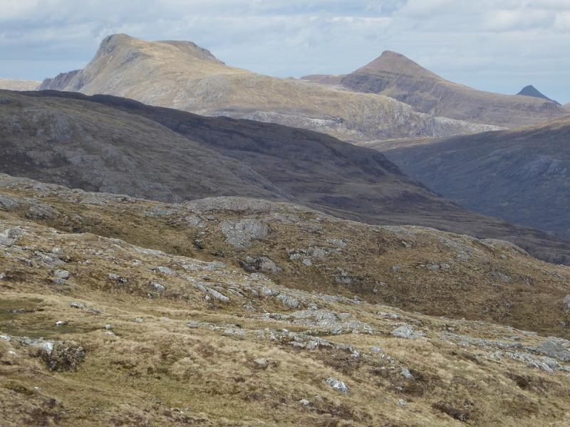
A'Mhaighdean, 987 m, NH 007 749.
Ruadh Stac Mor, 918 m, NH 018 756. OS sheet 19: Gairloch & Ullapool
Introduction
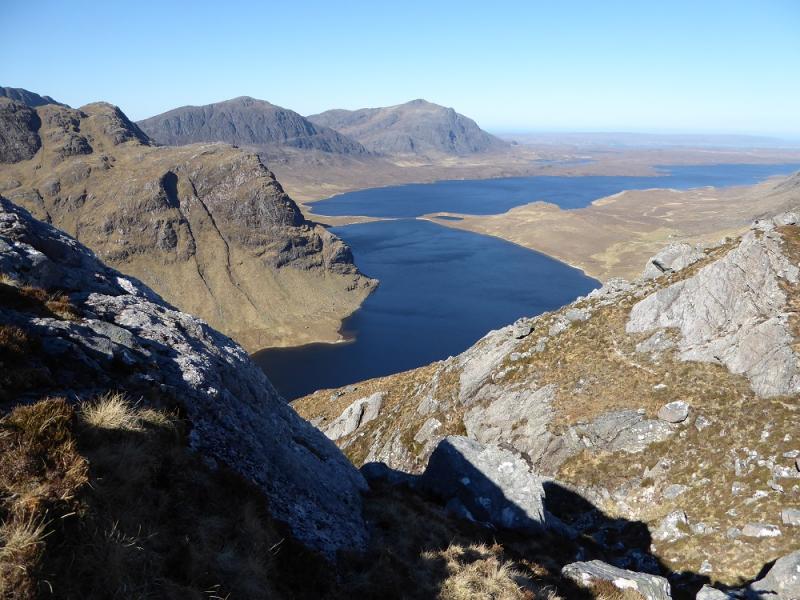
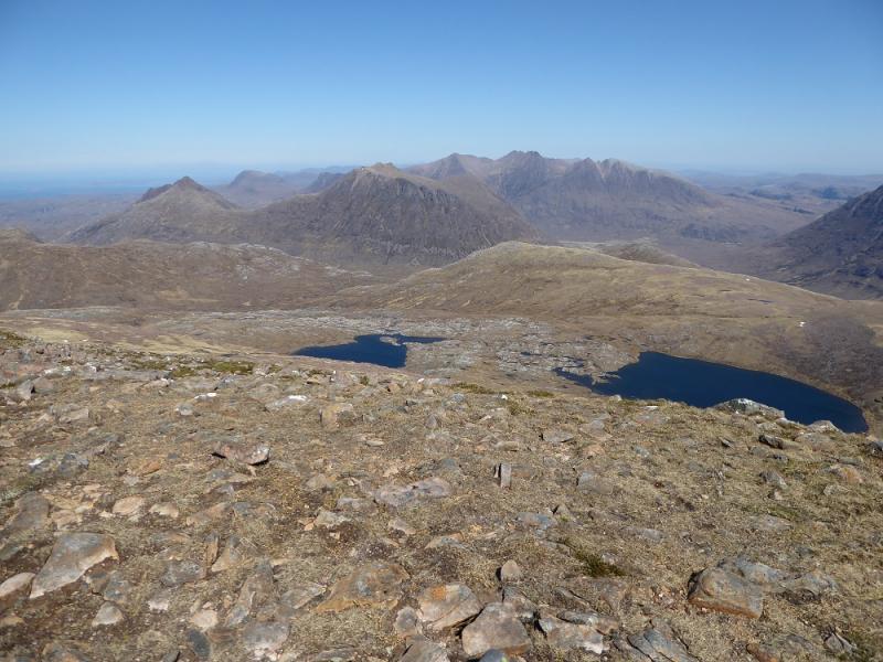
These are the two remotest Munros in Scotland being situated in the heart of Fisherfield Forest which is often described as the “Last Great Wilderness” due to its inaccessibility. Many back pack in to either camp or use the bothy at Shenaval which is accessed via the Corrie Hallie (Dundonnell road) track. This allows the other Munros to be climbed in the same trip. The drawback is that there are two river crossings which are only possible in a dry spell as the rivers rise very quickly indeed. This route comes in from Poolewe as a very long day but does not have river crossings on the same scale. Fisherfield contains some of Scotland's finest mountains including An Teallach and the Beinn Deargs (Mor and Bheag). A bicycle can be used from Poolewe to Kernsary which is about 5 km each way. This approach takes in what is generally regarded as the finest approach to A' Mhaighdean – its north west ridge – which is not included if one tackles the circular route over all 5 Munros from Shenaval/Corrie Hallie.
Route
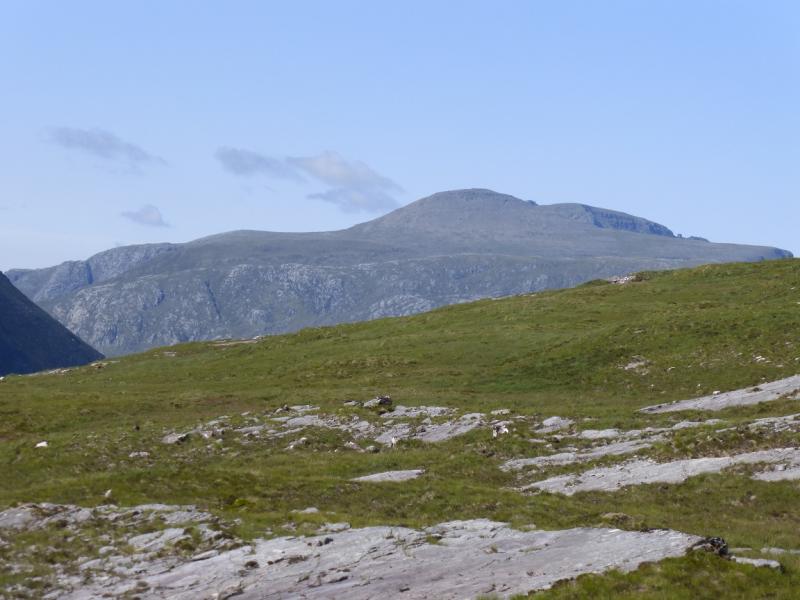
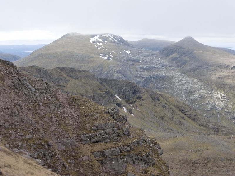
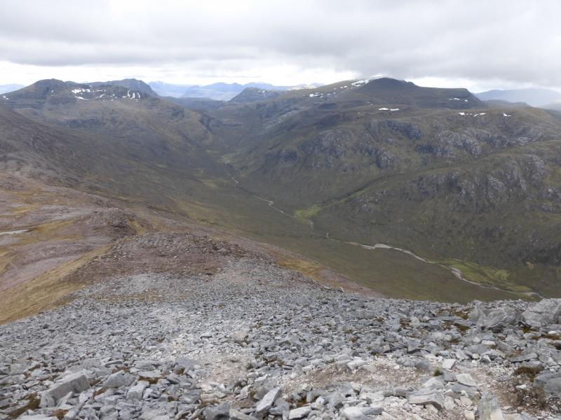
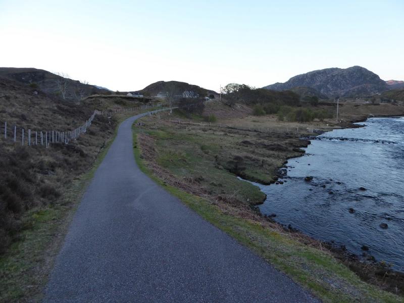
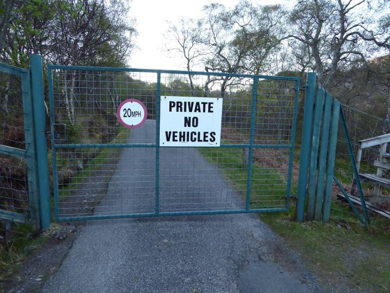
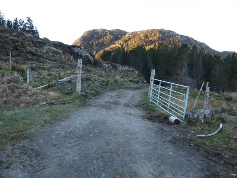
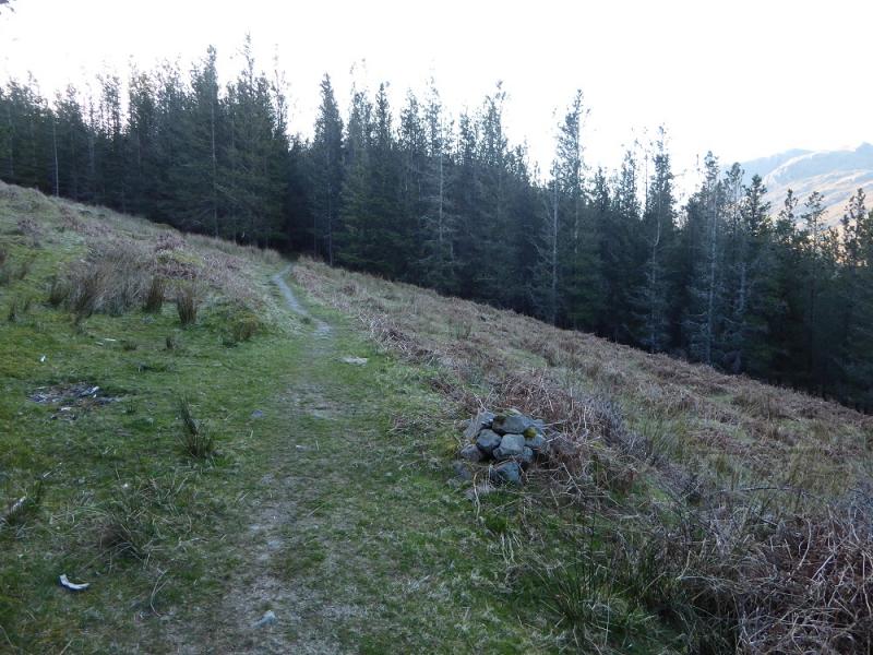
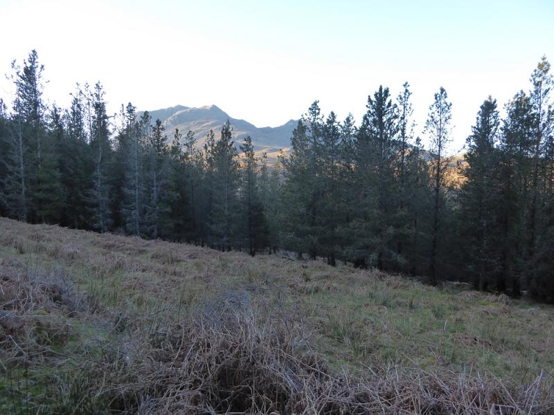
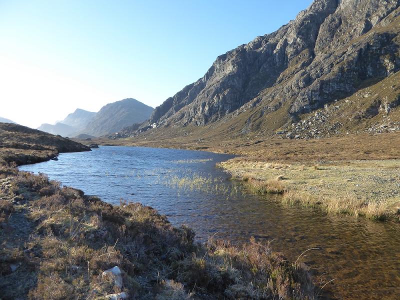
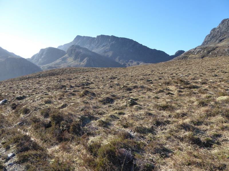
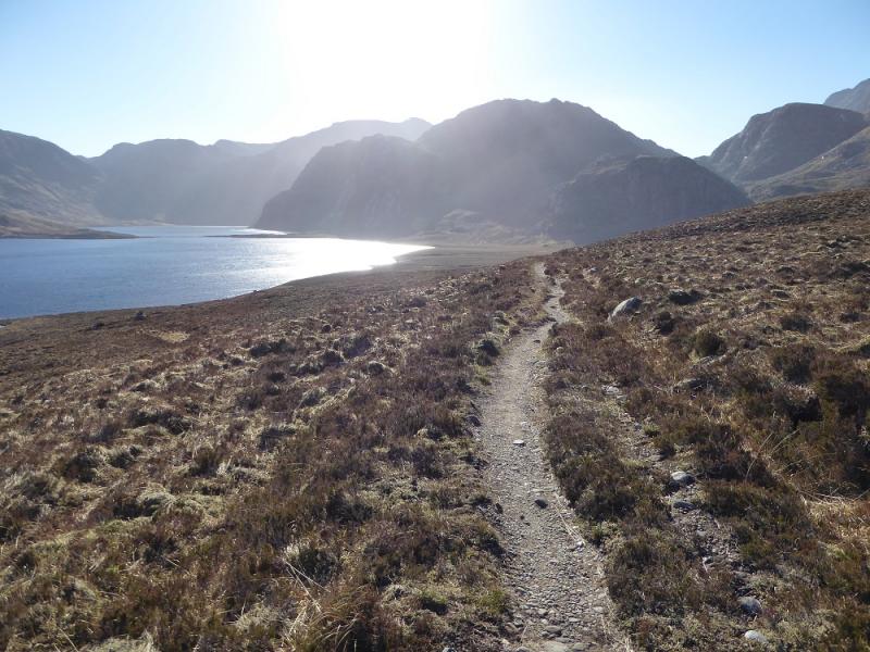
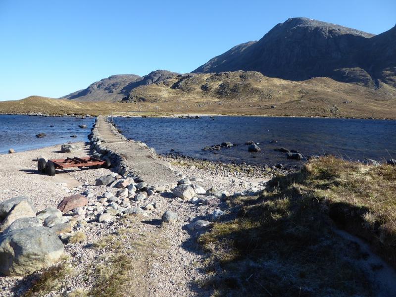
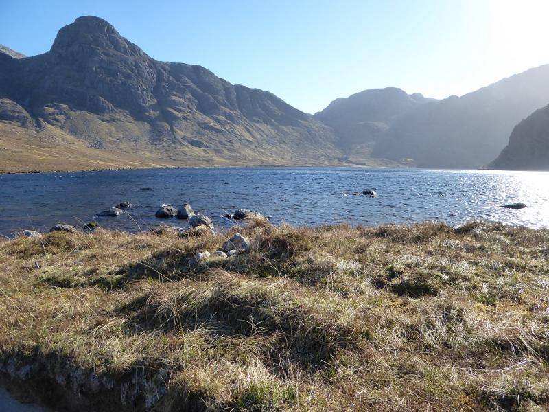
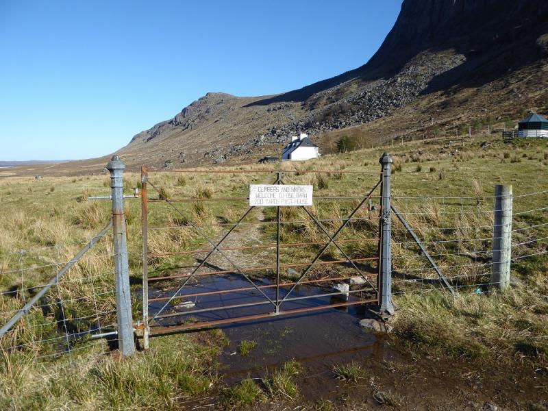
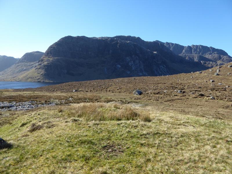
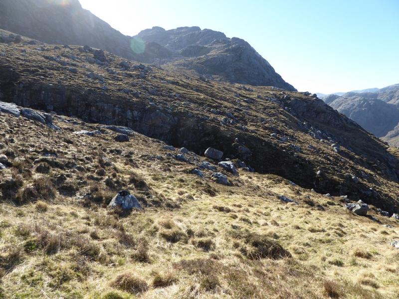
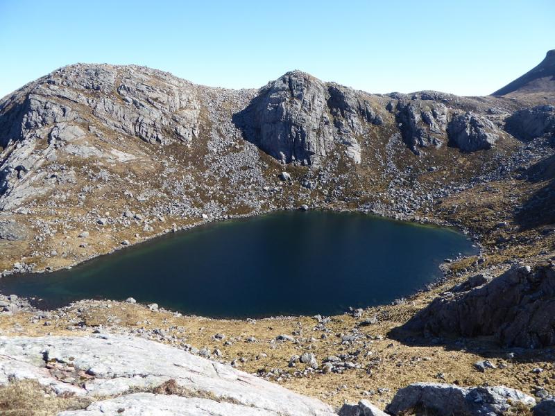
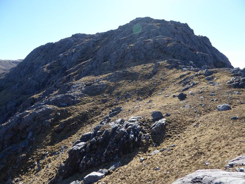
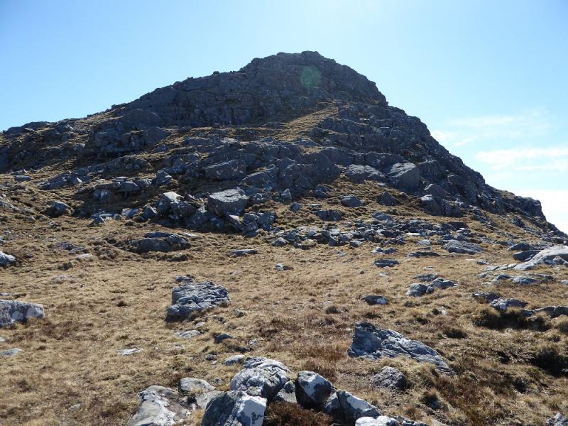
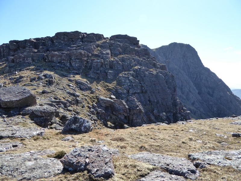
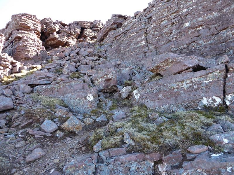
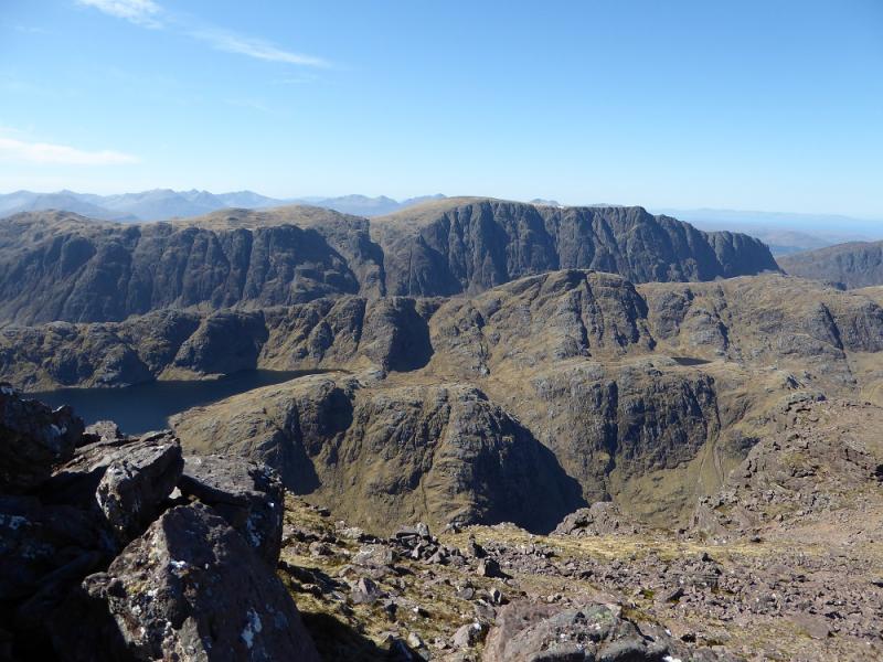
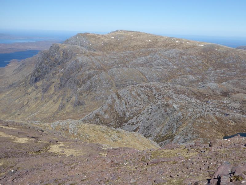
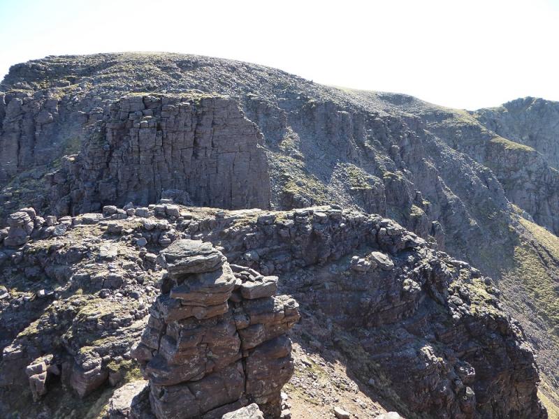
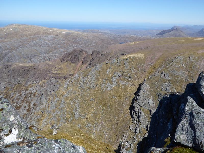
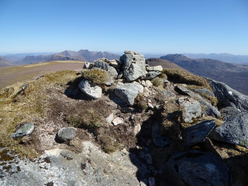
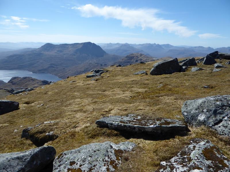
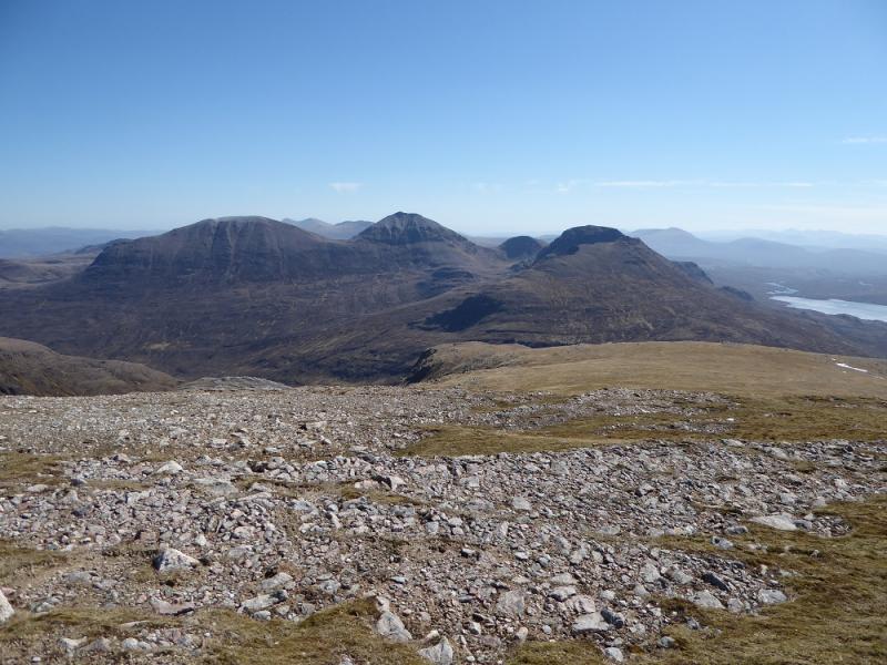
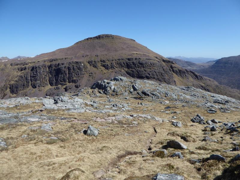
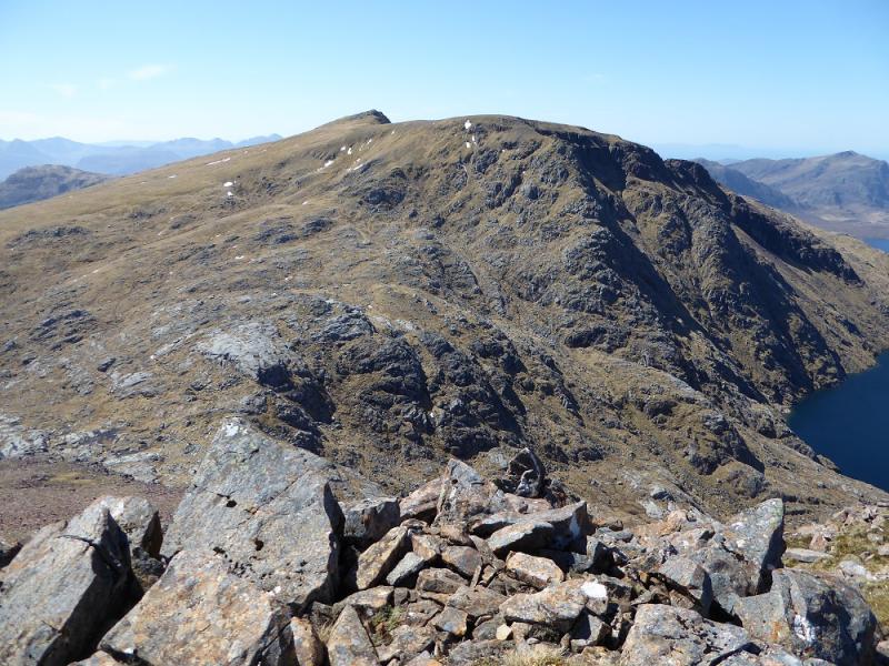
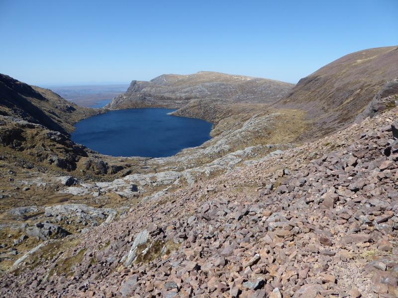
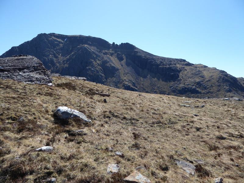
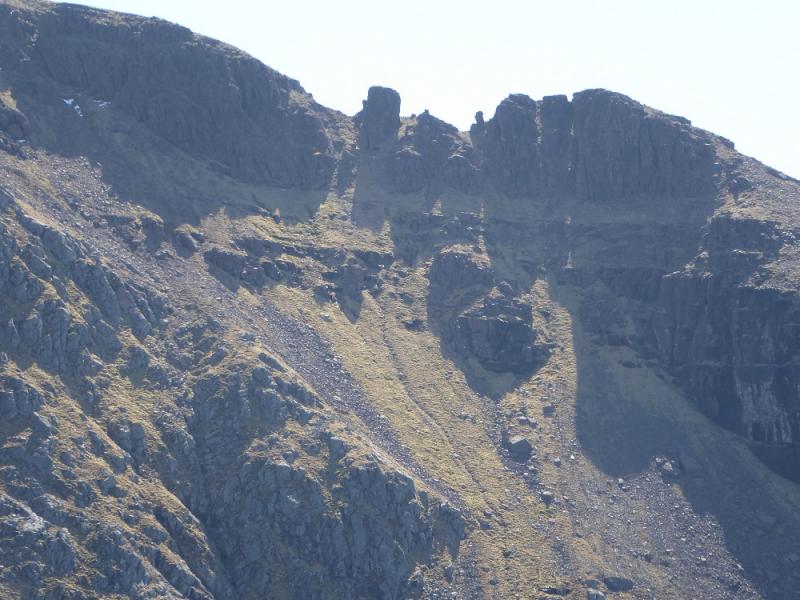
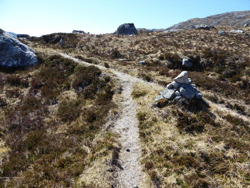
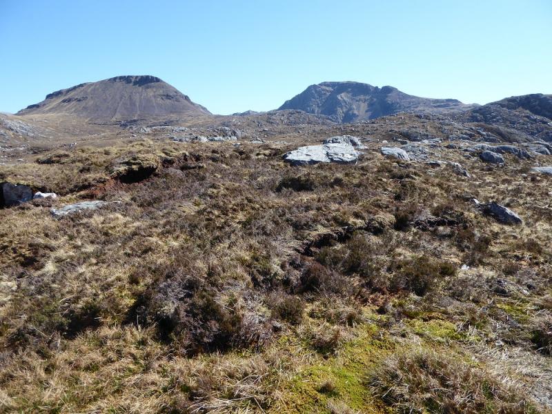
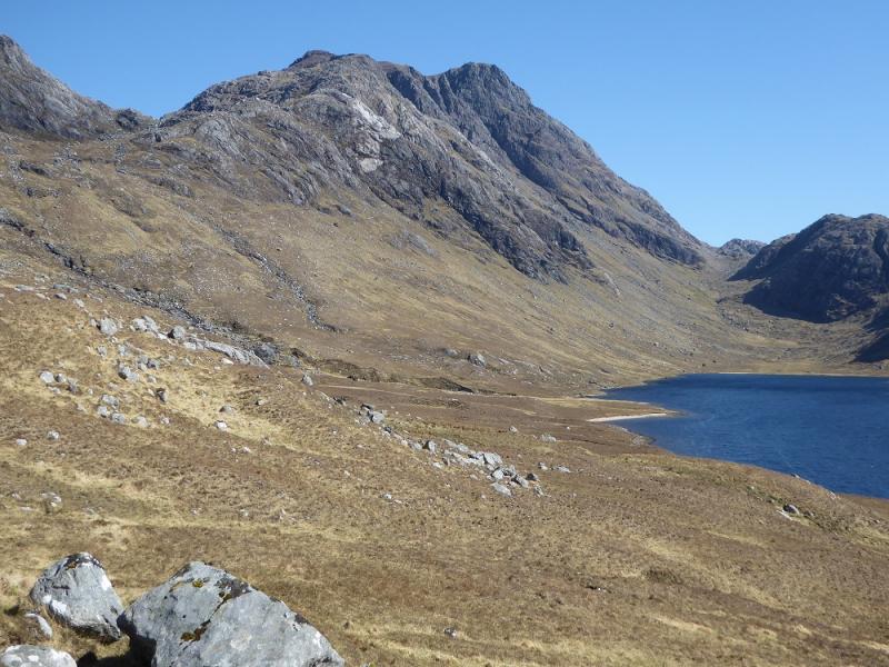
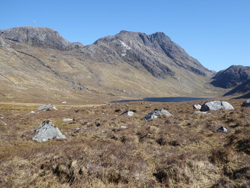
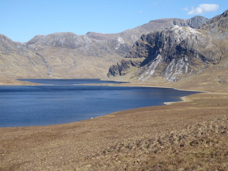
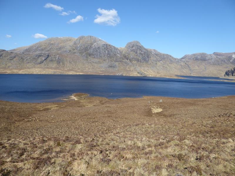
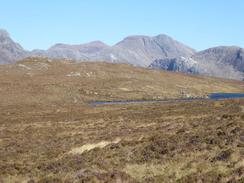
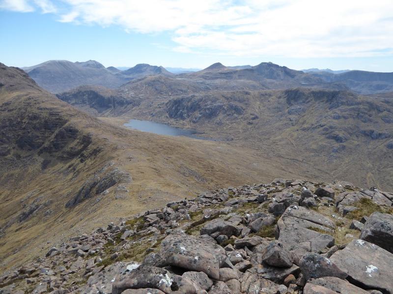
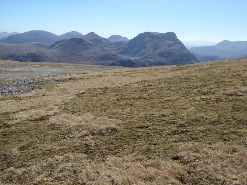
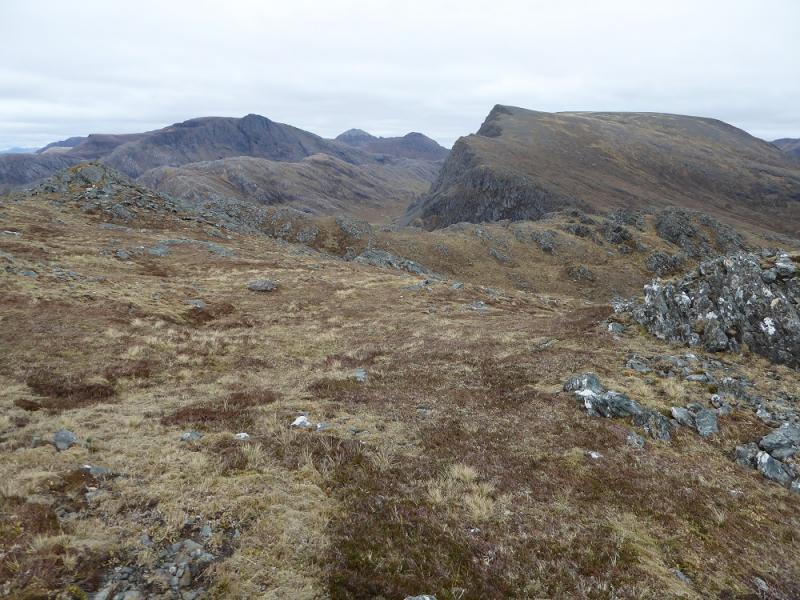
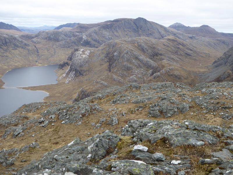
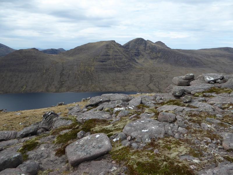
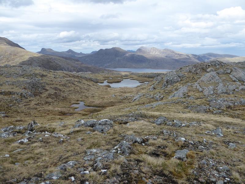
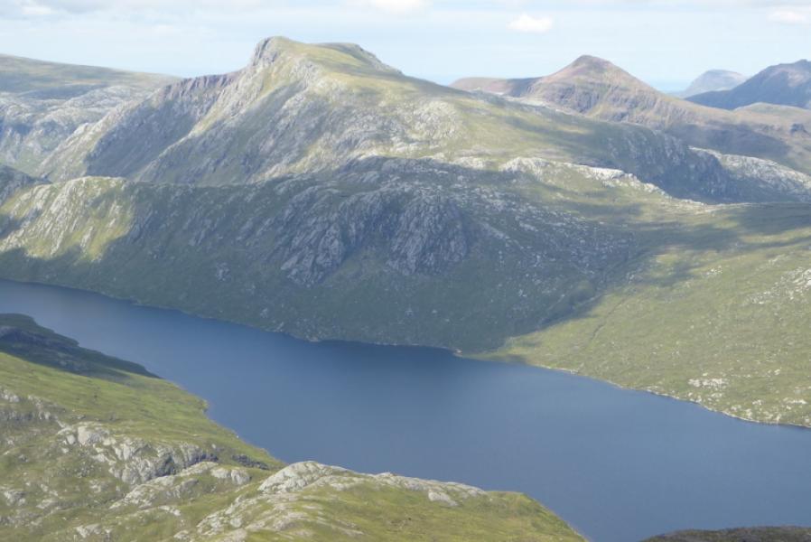
(1) From the car park, continue along the minor tarmac road. At Inveran, fork left on to a good track and follow this to Kernsary, crossing a low concrete bridge to reach the house. Continue on the track until it splits then take the right fork for a gate which usually has a sign saying Carnmore on it. Bikes are best left here as the track in the wood is very boggy except after a long, dry and hot spell. Follow the track through the wood to where a short path starts at a cairn. This soon leads to the edge of the wood. If you have managed to get your bike this far then leave it here as it is only path from here on. You are actually on a new path, constructed at some expense, but this is now starting to break up in places mainly because of the impact of mountain bikers who are putting their own interests above those of the majority of users. Follow the good path all the way to the causeway at the end of Fionn Loch, about 10 km from the wood. At one point, a wide stream is crossed. In wet weather, there is a bridge further upstream. Cross the causeway, now showing signs of wear and tear, and continue up the obvious path passing the entrance to Carnmore. There is an open bothy behind the house but hardly anyone recommends it! After Carnmore, the path slants up the hillside with a gorge developing on the right. After an S bend on the path, it should be possible to cross the stream before it enters the gorge. Once across, head roughly SE, well away from the cliffs (on the left) to reach the foot of the NW ridge of A' Mhaighdean which climbs SE up towards the summit. The ridge will have been well seen on approach to the causeway. Follow the ridge up. It is rocky in places but all difficulties are easily avoidable, usually on the left. High up, the ridge stops abruptly at a cliff with two towers beyond. Further progress looks initially impossible but there is a way to continue! Go back a few paces and drop down a gully on the left, NE. Descend no more than about 5 metres then go around to the right and squeeze through a gap from where it is straightforward to get to the base of the first (smaller) tower which is bypassed on its right. The second tower is also bypassed on its right after which rpogress is much easier and one soon leaves all the rock behind and a grassy slope leads up then curves around to the right to reach an outcrop with a medium cairn which is the summit of A'Mhaighdean, 987 m. After all the effort of getting there, linger to take in the views!
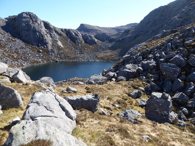
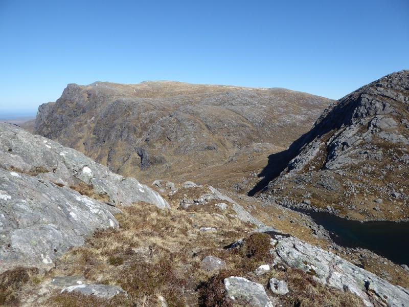
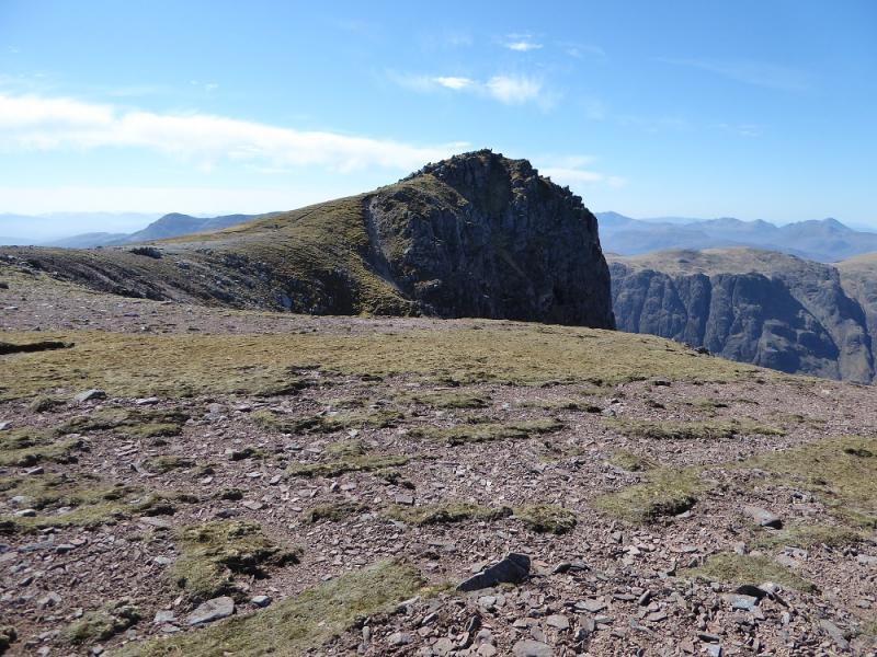
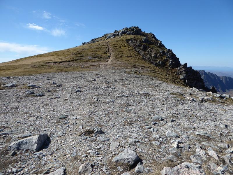
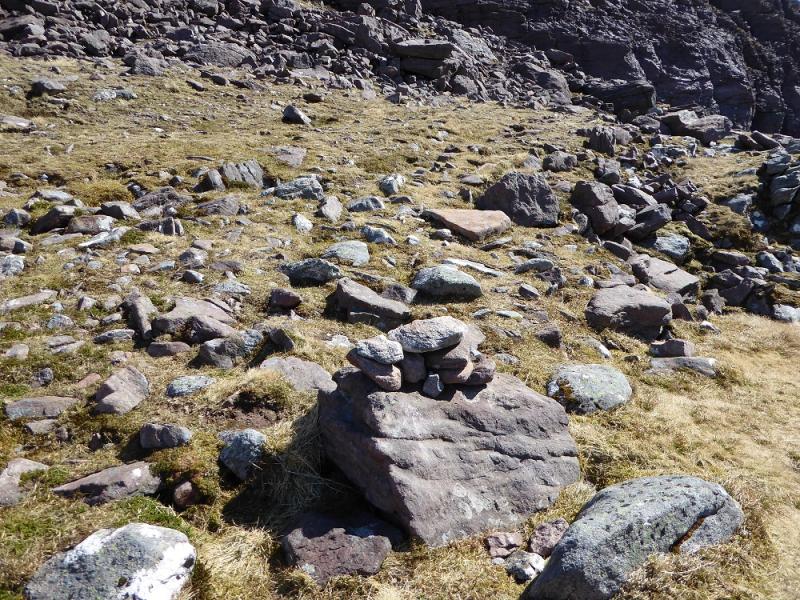
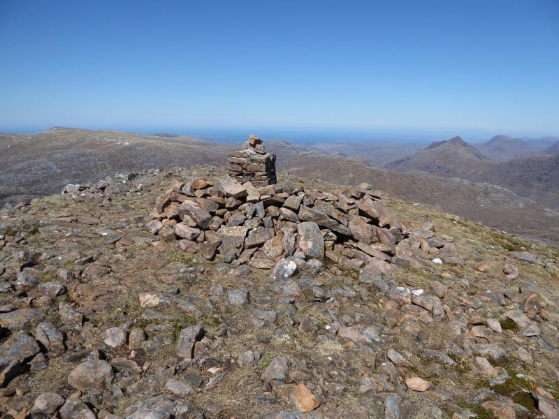
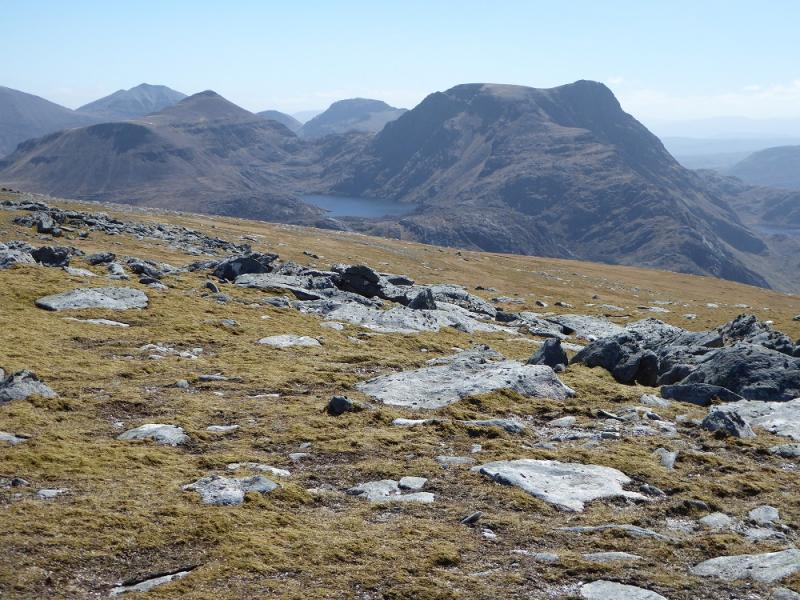
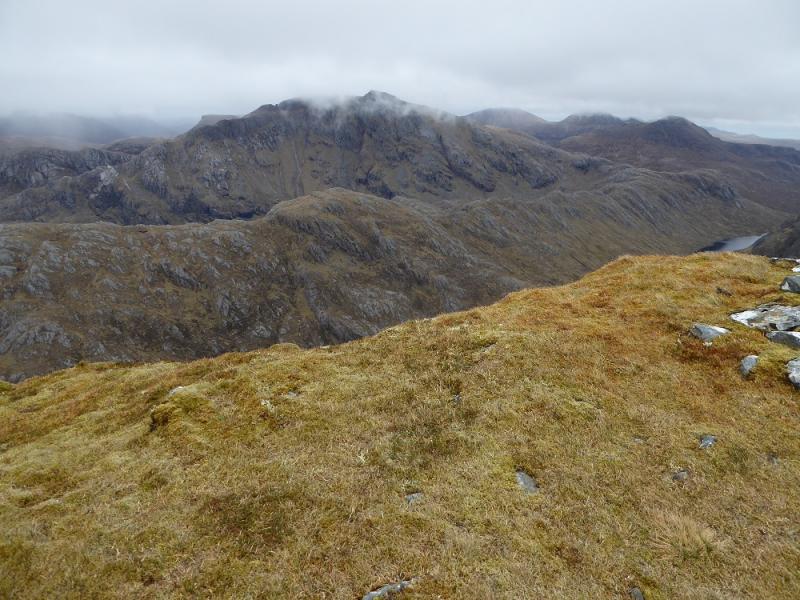
(2) Retrace across the grassy plateau, gradually drifting right to pick up a path descending NE to the col below Ruadh Stac Mor which looks unclimbable from a distance. There is a natural shelter stone in this col if one wishes to look for it! Join the path which will descend NW but look for a small cairn which is where the path up Ruadh Stac Mor starts. The path cuts back to meet a rock wall then goes up the side of it. There are short steep sections ans some eroded path but nothing horrendous if dry. The route crosses some scree but cairns help with navigation. Before too long, one reaches the crest. Turn left and the top is only a few minutes away. The remains of an old sandstone trig point mark the summit of Ruadh Stac Mor, 918 m.
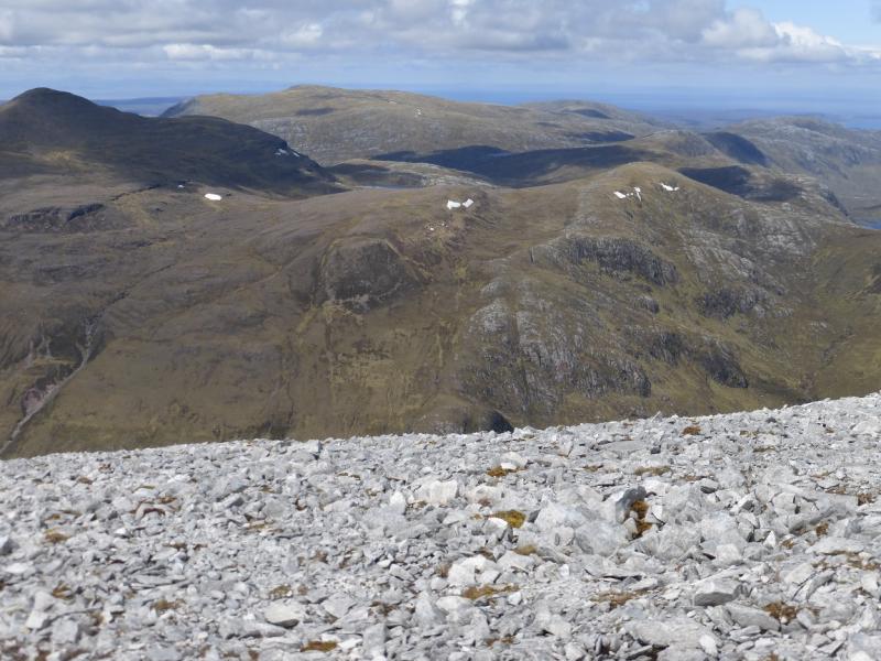
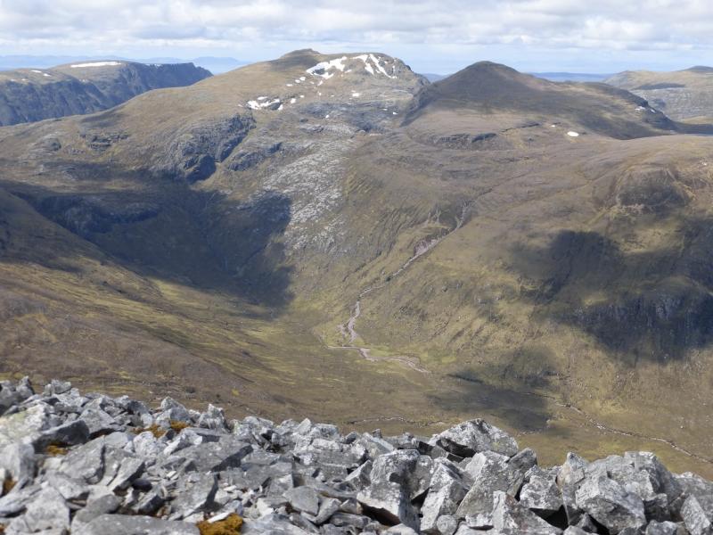
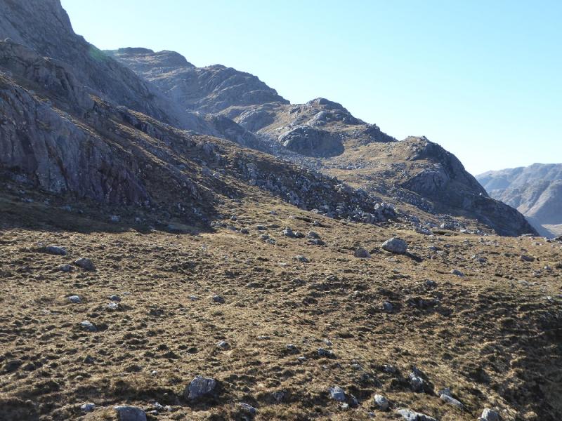
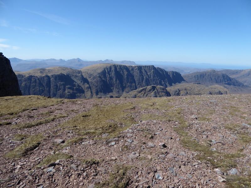
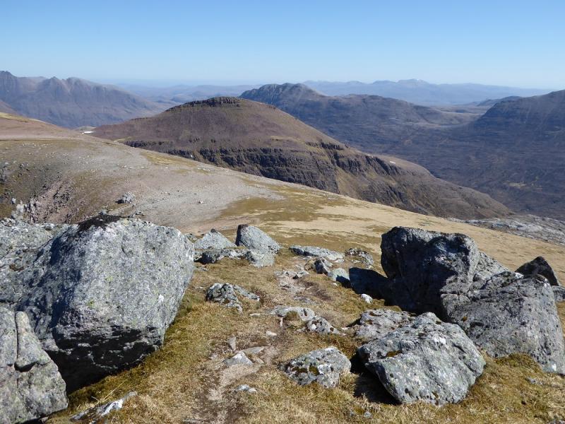
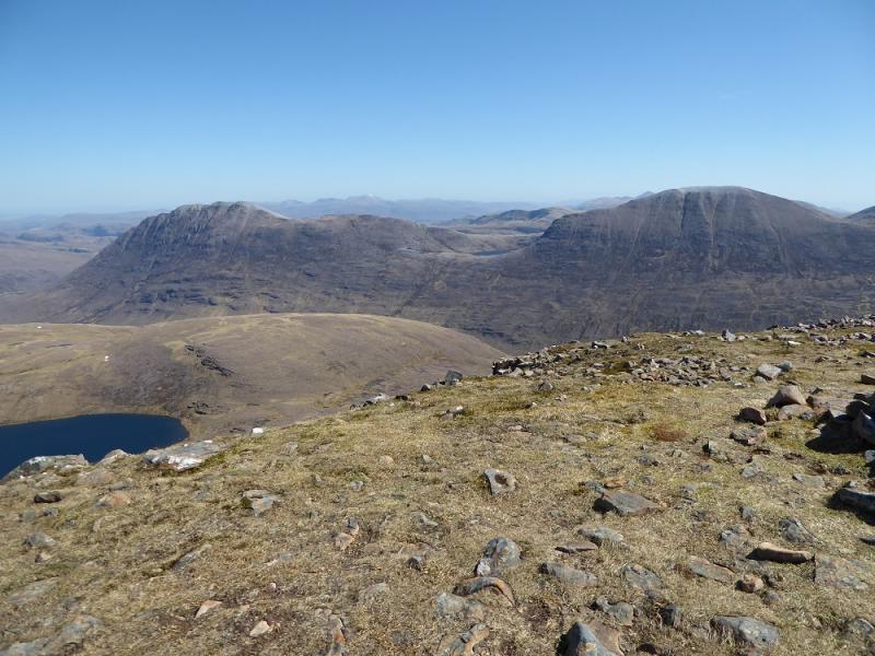
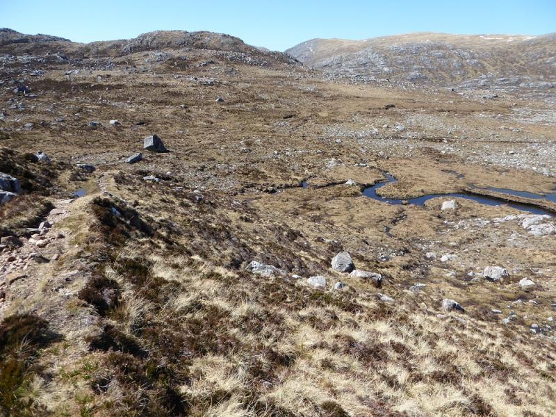
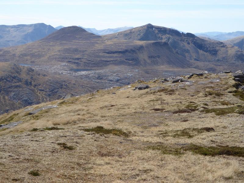
(3) Retrace to the col with A' Mhaighdean then turn right and follow the path NW past Loch Mor and beyond. The path is distinctive but rough in places. After over 3 km of rough walking, it goes around the W end of a loch to join the main path from Larachantivore to Carnmore. Turn left and follow the path down to Carnmore then retrace back to Poolewe.
Notes
(a) This walk took place on 4th May, 2017, and about 15 years earlier plus about 20 years earlier as part of the circular route from Corrie Hallie.
Photos - Hover over photo for caption. Click on to enlarge. Click on again to reduce.