Get Lost Mountaineering
You are here: Scotland » 14 Loch Maree to Loch Broom and Garve » Letterewe & Fisherfield to Little Loch Broom
Beinn a' Chaisgein Mor & Beinn a' Chaisgein Beag via Gruinard River track
Beinn a' Chaisgein Mor & Beinn a' Chaisgein Beag
via Gruinard River track
Start/Finish
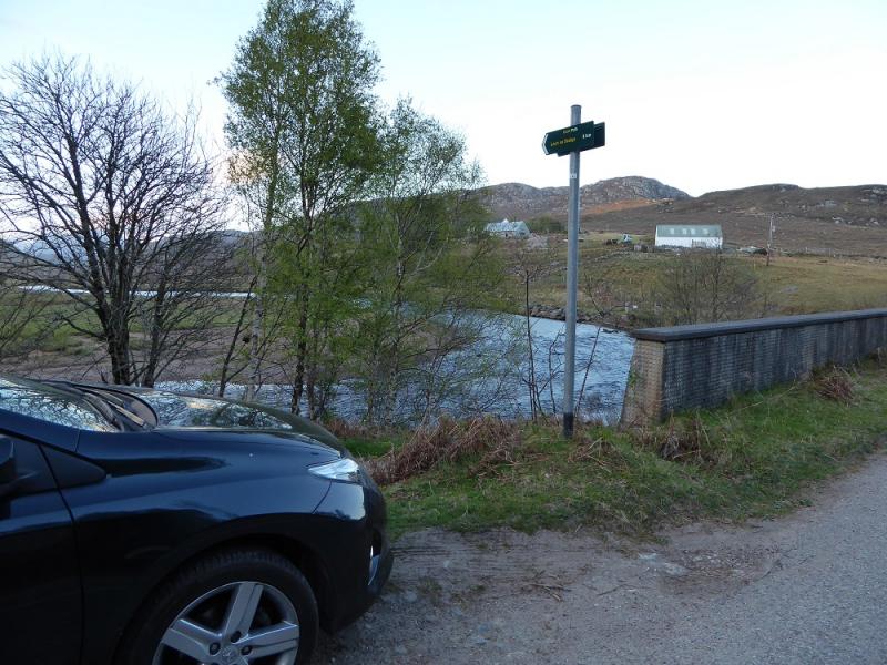
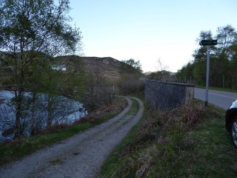
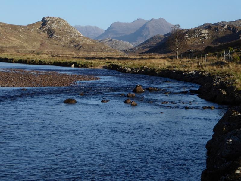
About where the Gruinard River crosses the A832 at NG 962 912. A short distance SW, along the road, there is a sign for a path to Loch na Sealga which is where the track starts that can be cycled to where the walking starts at the Allt Loch Ghiubsachain about 8 km up the track. The Gruinard bridge is about 11 miles from Dundonnell and about 5 miles from Laide.
Distance/Time
16 km bike + 19 km walk. About 12 - 13 hours.
Peaks
Beinn a' Chaisgein Mor, 856 m, NG 982 785.
Beinn a'Chaisgein Beag, 682 m, NG 965 821.
OS sheet 19: Gairloch & Ullapool.
Introduction
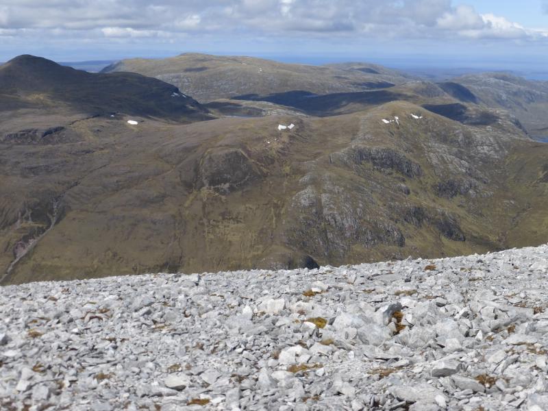
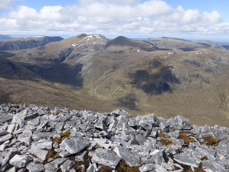
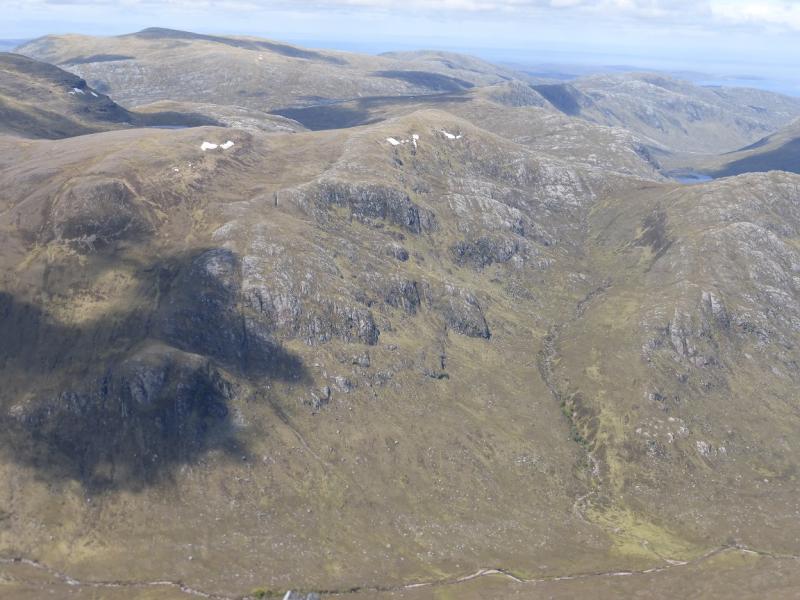
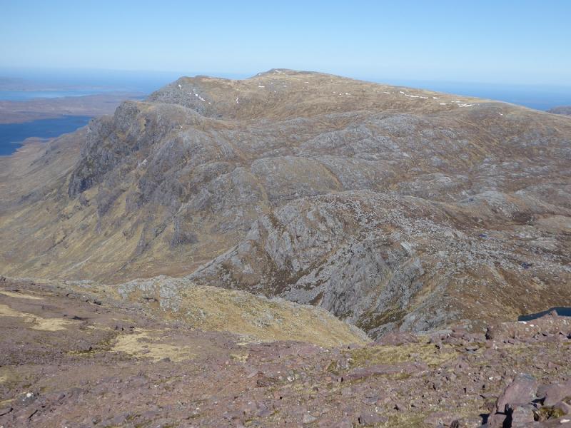
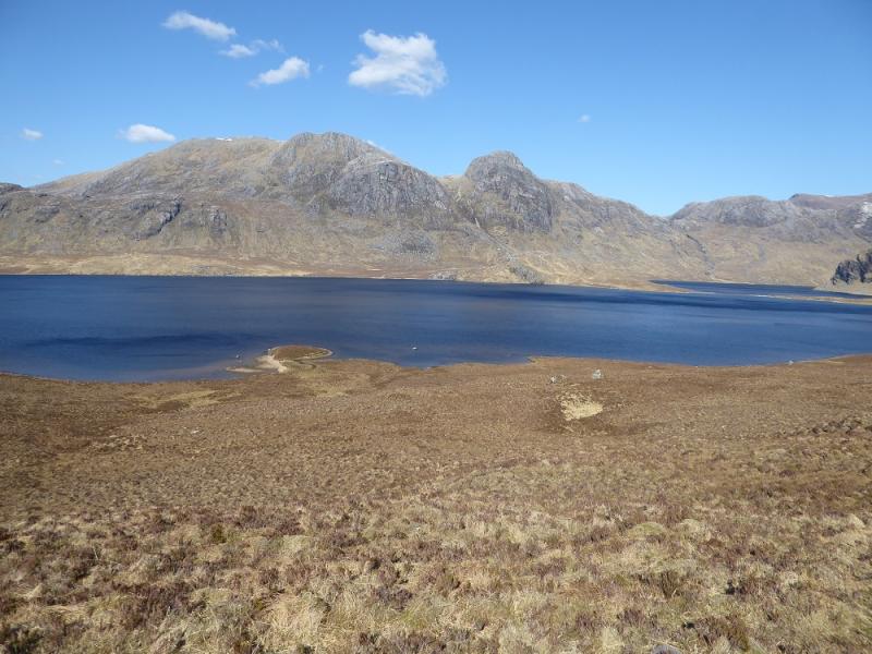
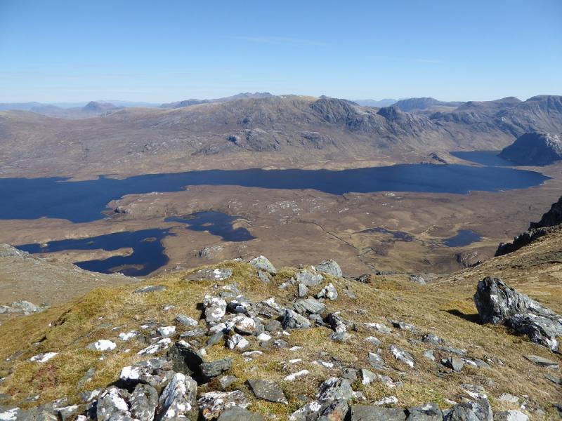
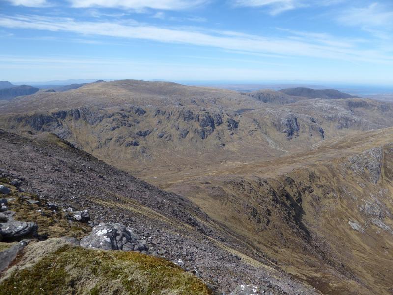
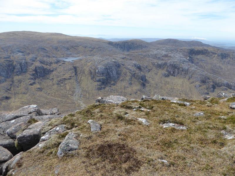
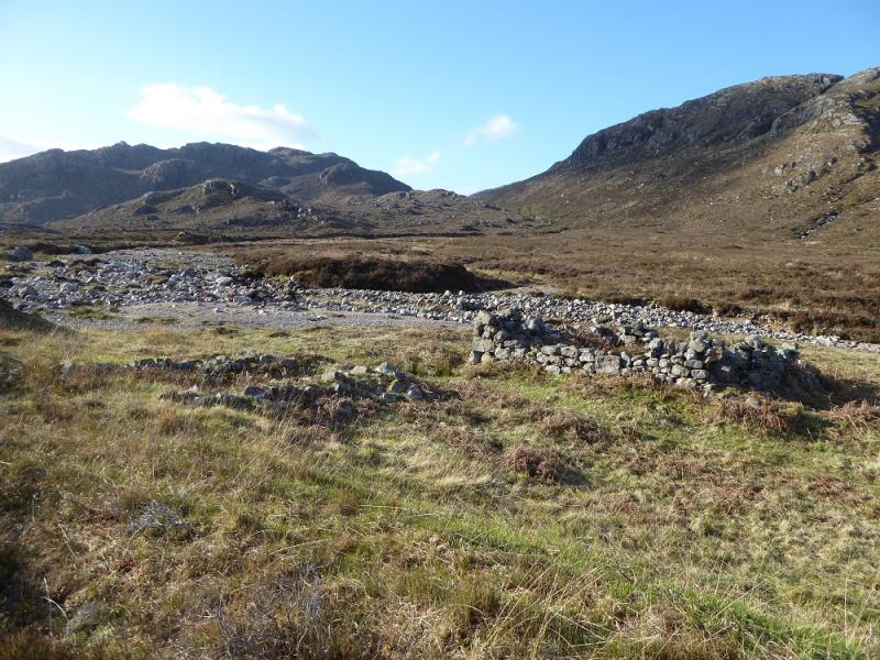
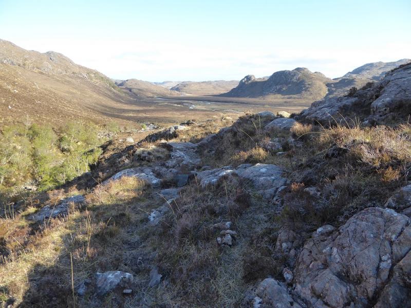
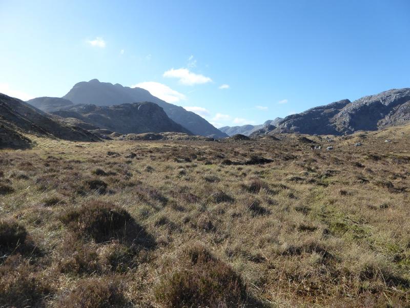
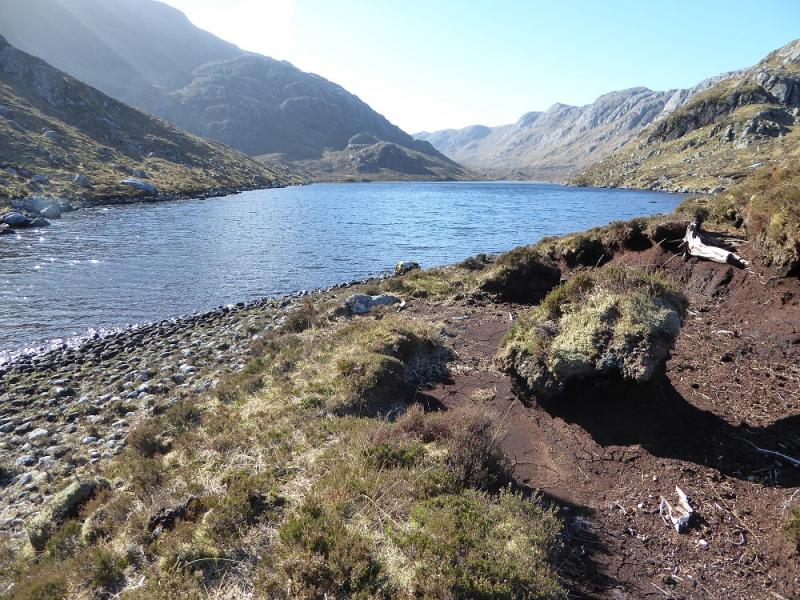
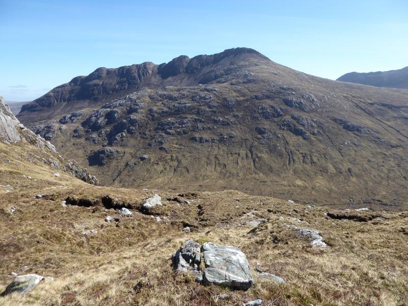
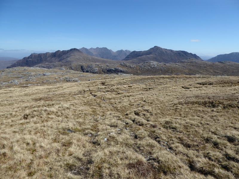
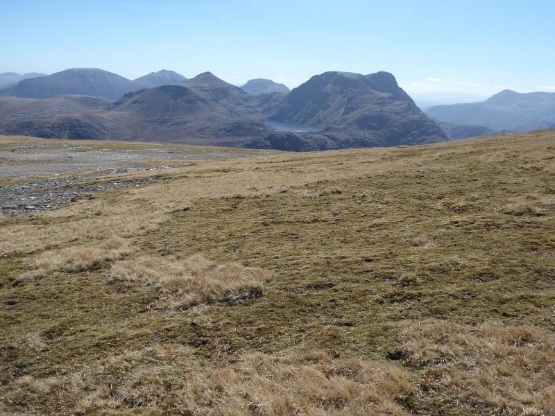
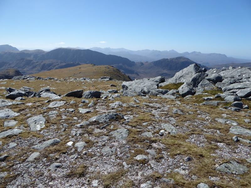
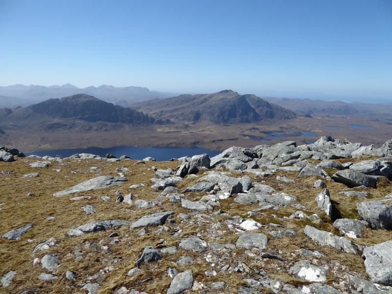
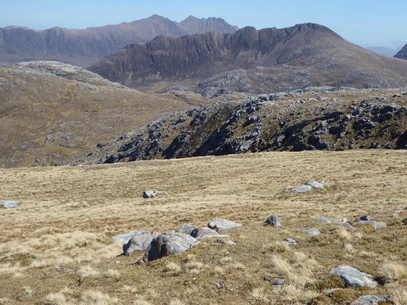
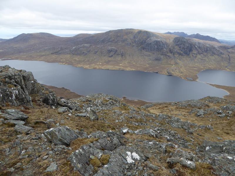
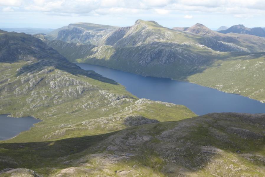
This is a very tough walk with much of it over rough and pathless terrain. The going can be particularly rough alongside Loch Ghiubsachain and the final descent back to the track. There is a bridge where the track crosses the Allt Loch Ghiubsachain but one has to cross back further upstream which may be a problem in wet weather so one would then have to be on the rougher side of the river. The ascent after Loch Ghiubsachain is very steep. Some guide books refer to a “log cabin” after the end of Loch Ghiubsachain but this was not spotted and either no longer exists or is very well hidden! Given all this, there are great views to A' Mhaighdean, Ruadh Stac Mor, Beinn Lair, Beinn Dearg Mor, Beinn Dearg Bheag and An Teallach. Possible alternative routes are given in the notes below.
Route
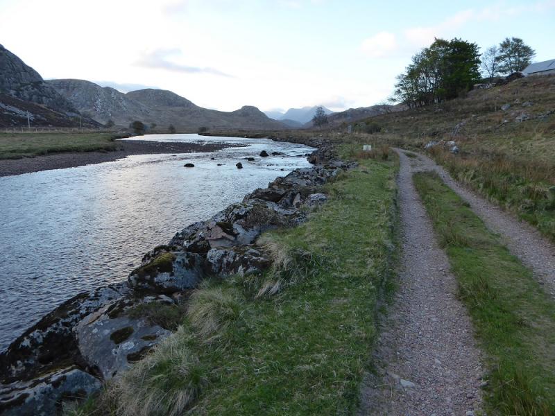
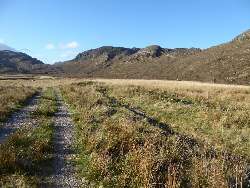
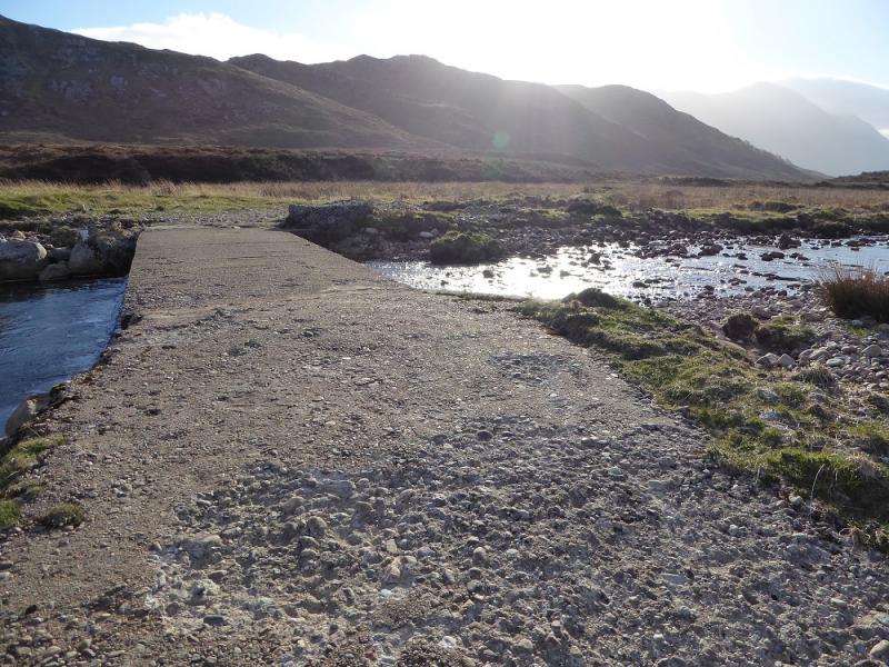
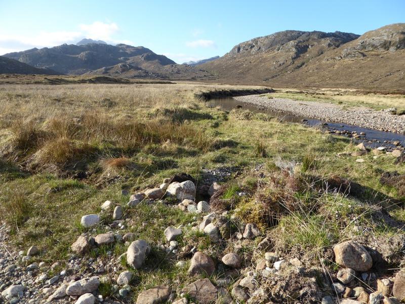
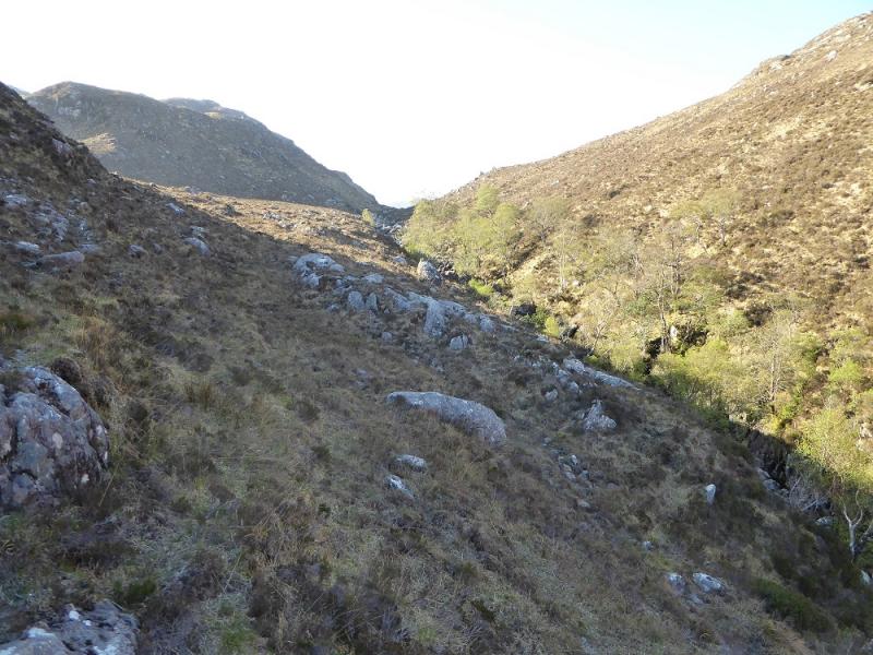
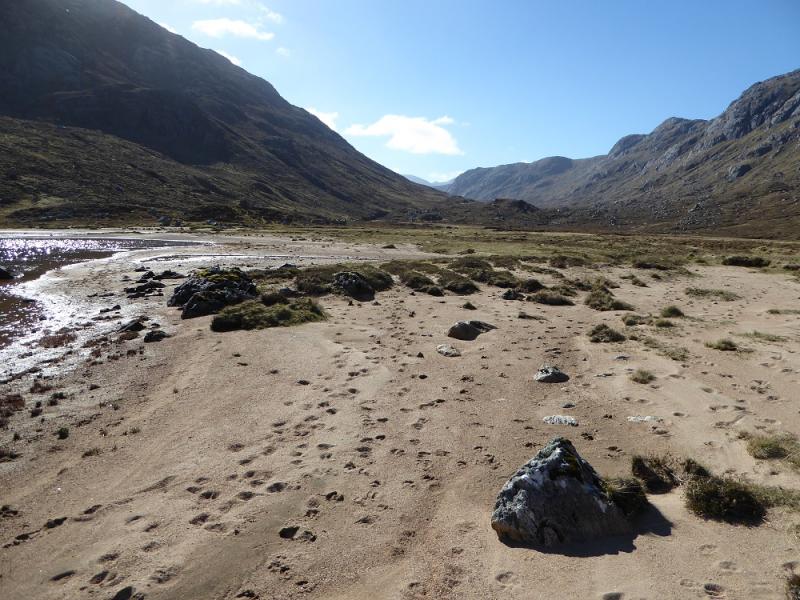
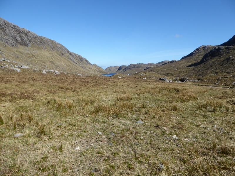
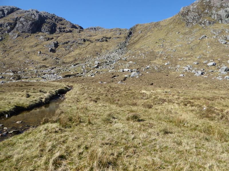
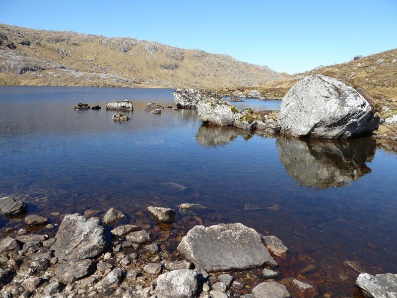
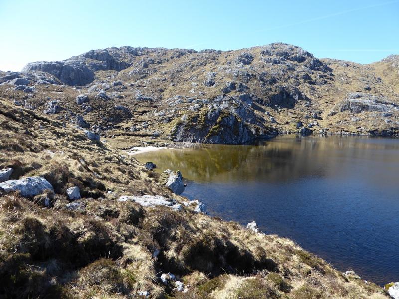
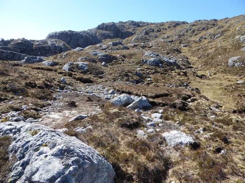
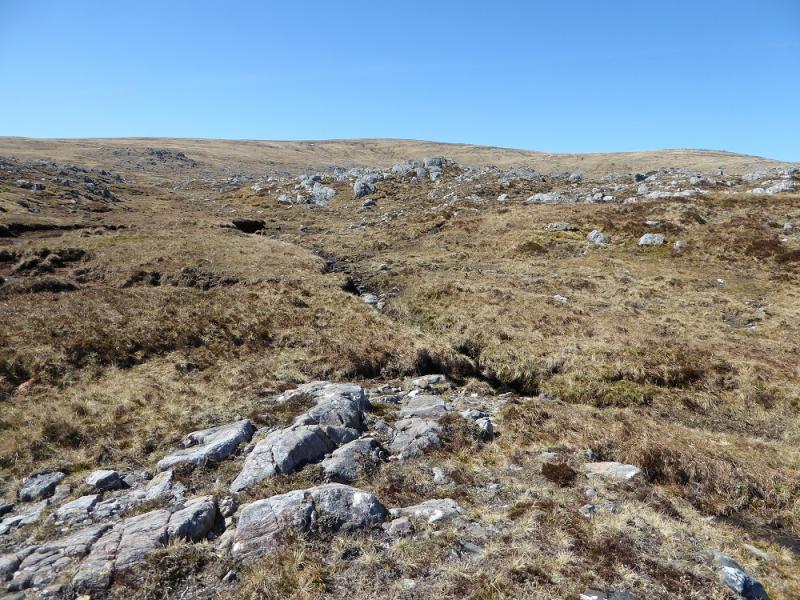
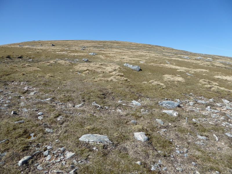
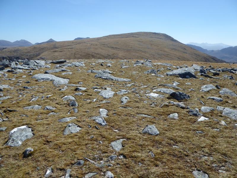
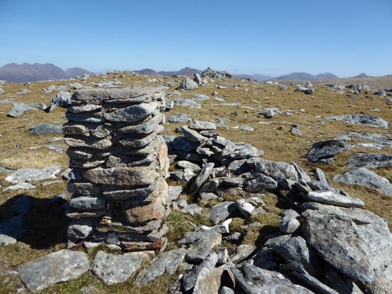
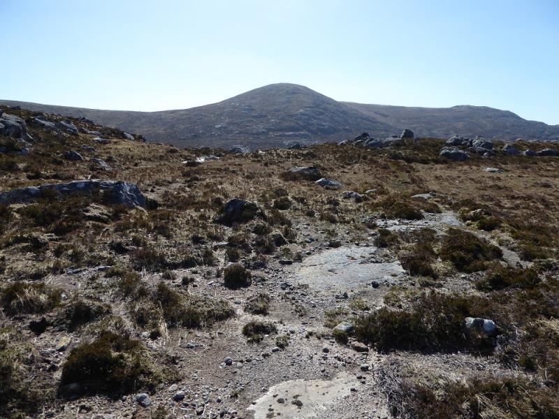
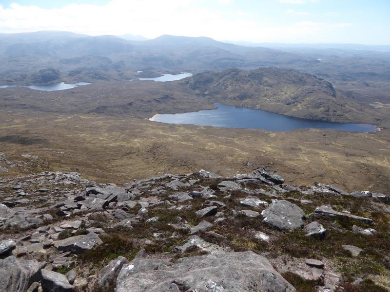
(1) Cycle up the track by the Gruinard River, for about 8 km, to reach the bridge/causeway across the Allt Loch Ghiubsachain where bikes should be left. In a dry spell, cross the bridge and walk up the side of the Allt Loch Ghiubsachain gaining some height when the gorge is reached. Continue, crossing back over before Loch Ghiubsachain is reached. Walk along the S side of the loch to reach flatter ground at the end of the loch. This ground can be quite boggy. Follow the stream as it curves around to the W then climbs steeply up waterfalls. In a dry spell, it is possible to ascend one of the dry stream beds which is easier than the grass. When flatter ground is reached, go around the E side of Lochan na Bearta then ascend roughly SW up moderately steep ground until the angle eases and one enters a shallow grassy corrie. Continue up, drifting left to pick up a grassy ridge which leads W to the grassy plateau with several outcrops and a medium cairn which is the summit of Beinn a' Chaisgein Mor, 856 m.
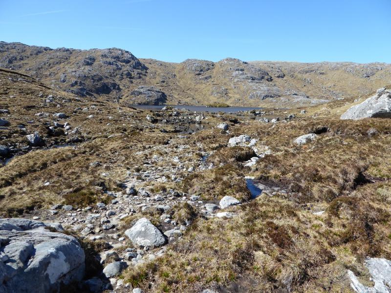
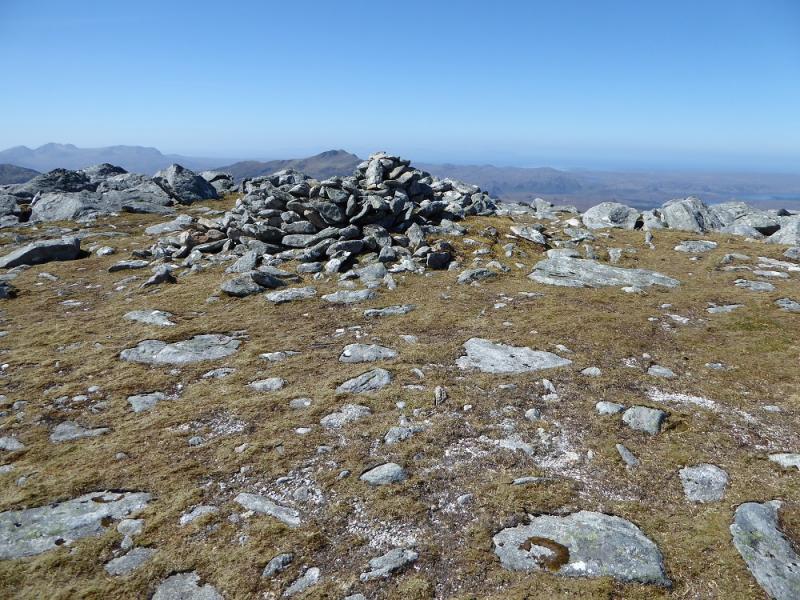
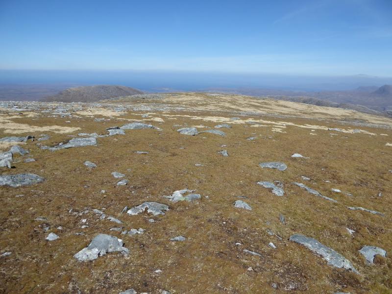
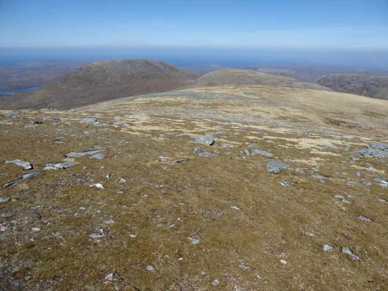
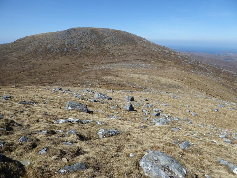
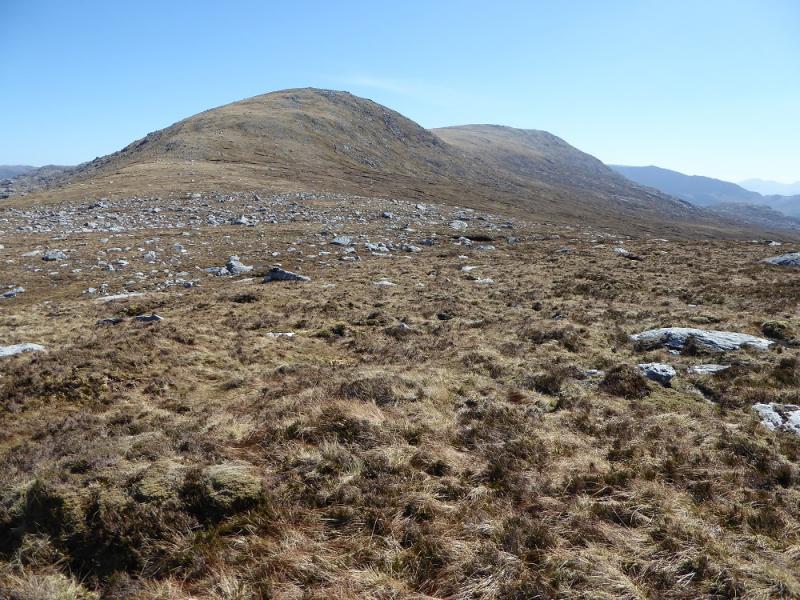
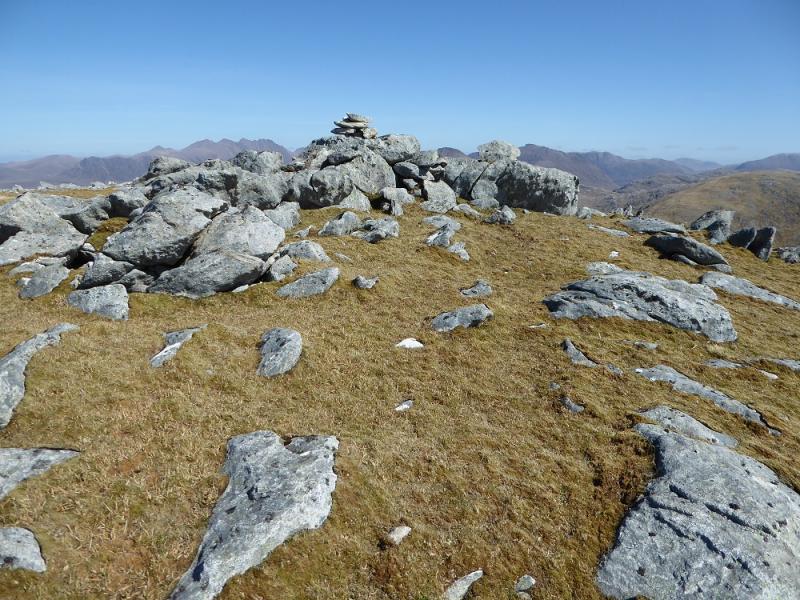
(2) Descend N down easy, mainly grassy slopes for about 2.5 km to reach the col below Top 680. Go over this and down the other side to the col below Beinn a' Chaisgein Beag. A stalkers path (not that obvious) will be crossed on the far side of the col. Ascend roughly W to reach a plateau where there is a trig point with the highest point being a small cairn on an outcrop a short distance to the S which is the summit of Beinn a'Chaisgein Beag, 682 m.
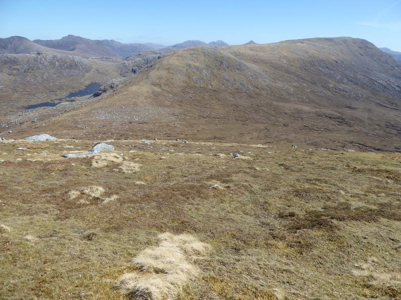
(3) Return to the stalkers path and follow it NW down to stream flowing out of the large loch to the right. Continue up the other side to reach the crest with the path crossing some rough ground. The path can be followed until it peters out then descend down to the Allt Loch Ghiubsachain. Cross over and retrace the outward route. It will be about 2 km back to the bridge.
Notes
(a) This walk took place on 8th May, 2017, and about 15 years earlier.
(b) Another possible access route (not checked out) would be to use the path going up the Little Gruinard River to reach Beinn a' Chaisgein Beag first then going to Beinn a' Chaisgein Mor before returning the same way.
(c) Another option (not checked out) might be to bike to Kernsary then walk to Carnmore via the causeway then follow the stalkers path E up past the cliffs before ascending Beinn a' Chaisgein Mor by easy grassy slopes. Continue on to Beinn a' Chaisgein Beag as described above but when returning to the stalkers path go SE and follow it back to Carnmore.
Photos - Hover over photo for caption. Click on to enlarge. Click on again to reduce.