Get Lost Mountaineering
You are here: Scotland » 14 Loch Maree to Loch Broom and Garve » Letterewe & Fisherfield to Little Loch Broom
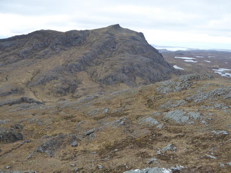
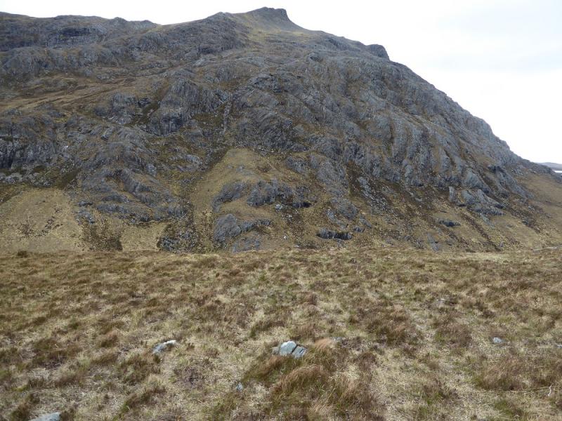
Beinn Airigh Charr from Poolewe from Poolewe
Beinn Airigh Charr from Poolewe from Poolewe
Start/Finish
Car park a few metres down the minor road on the east side of the bridge in Poolewe. Poolewe is between Gairloch and Aultbea on the A832 road around the Gairloch peninsula. There is a Camping and Caravanning Club site at Poolewe and a Youth Hostel at Gairloch.
Distance/Time
16 km bike + 10 km walk. About 7 hours.
Peaks
Beinn Airigh Charr, 791 m, NG 930 761. OS sheet 19: Gairloch & Ullapool
Introduction
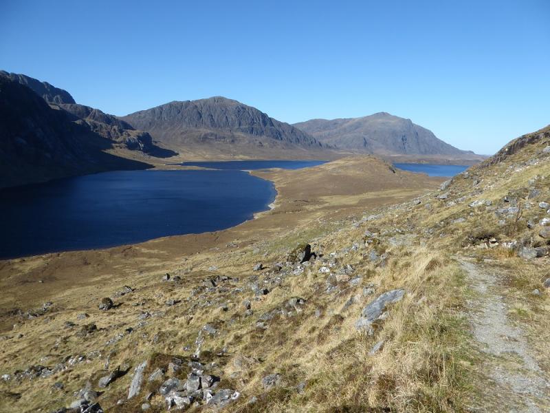
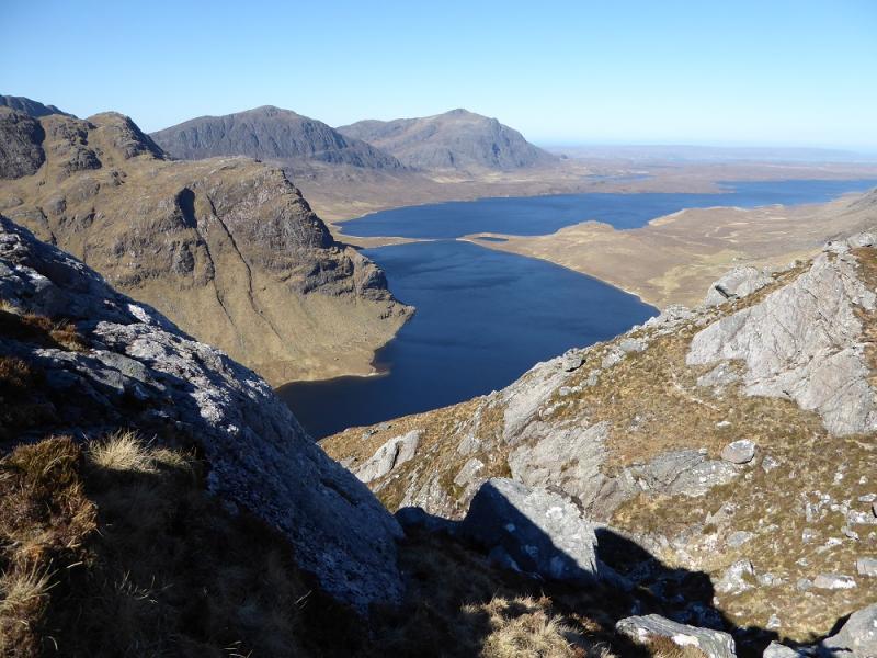
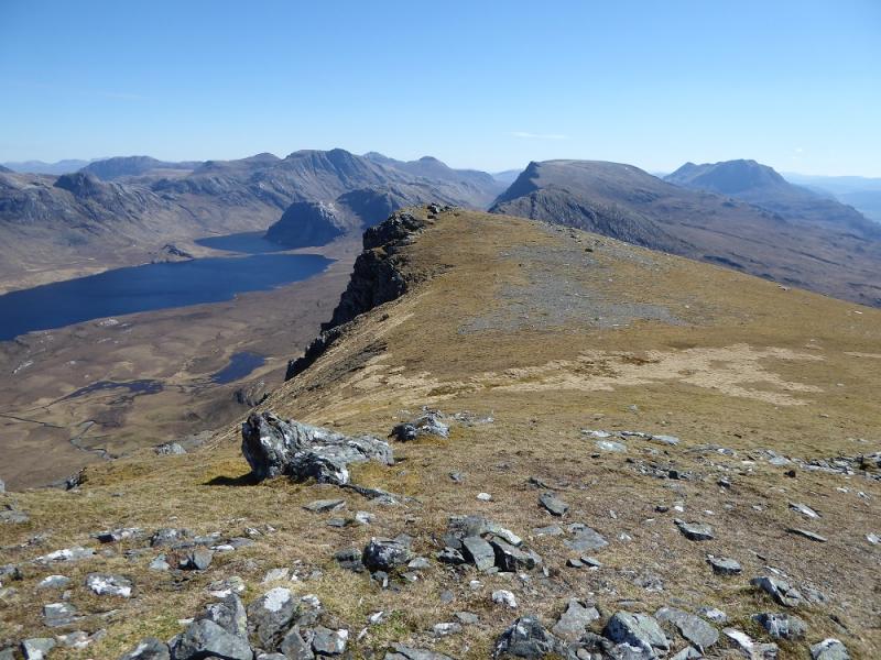
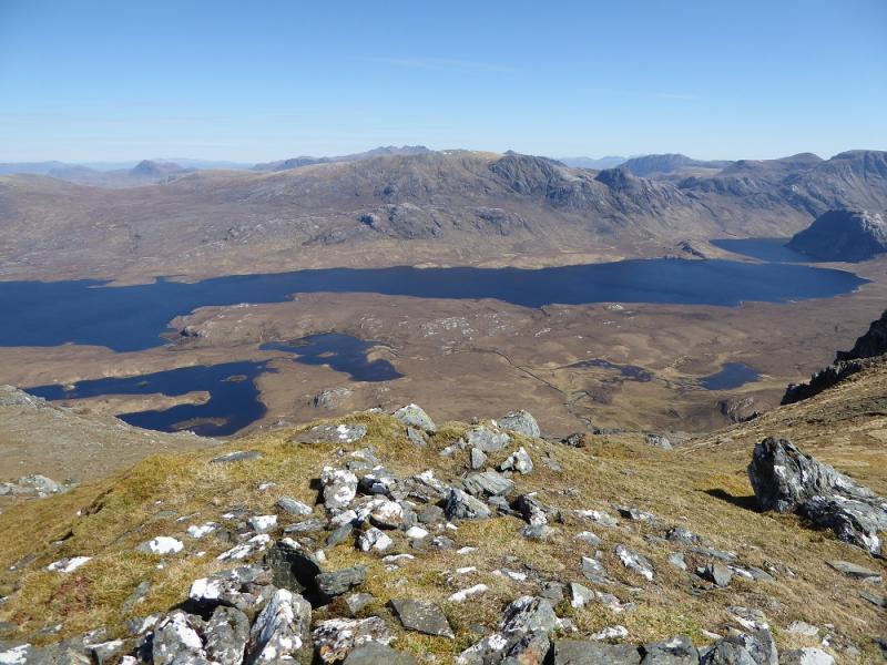
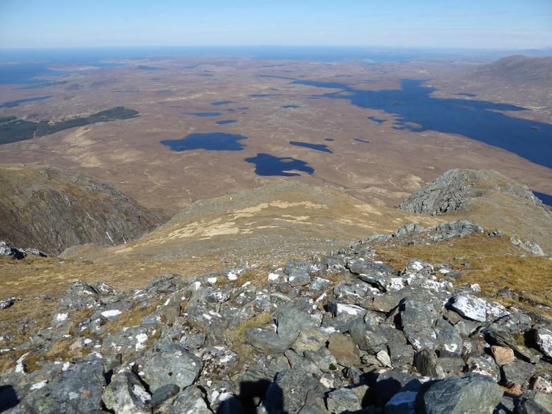
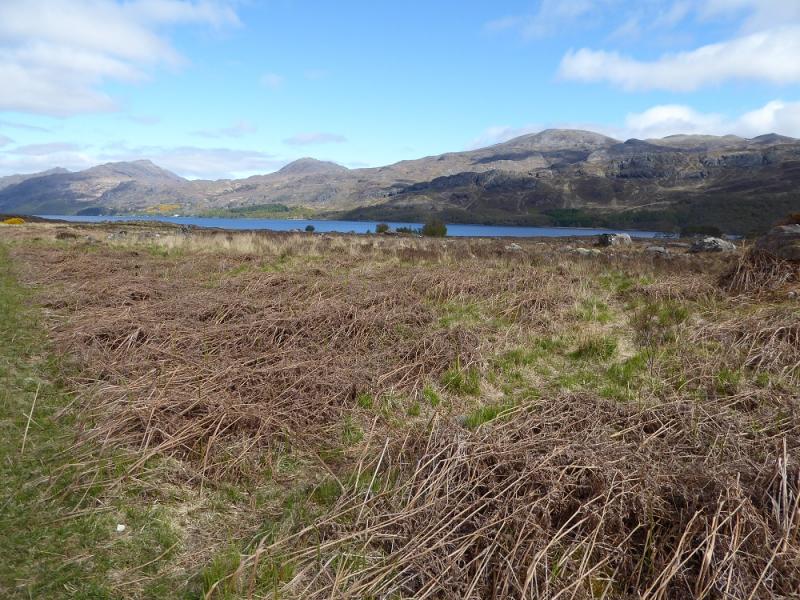
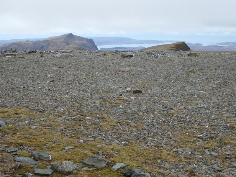
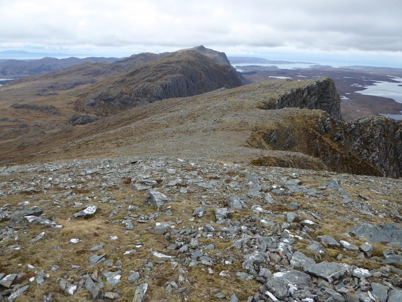
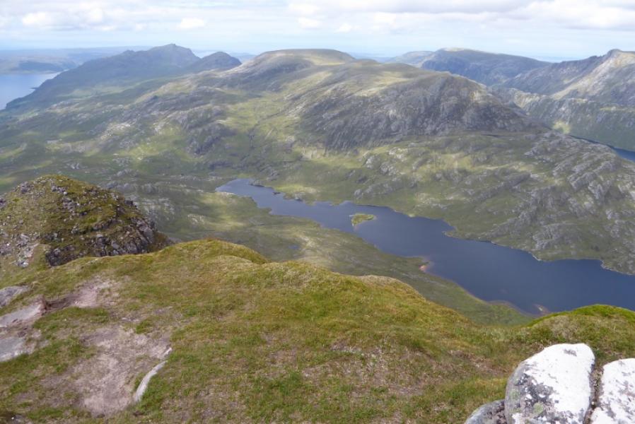
This is the most accessible mountain in Letterewe/Fisherfield but don't assume it is a simple stroll! Like all other hills in this area, the ascent starts at sea level. One can bike in about 8 km and a stalkers path takes one about another 4 km leaving a steepish clmib but on good ground. The summit is an excellent viewpoint for looking into Fisherfield towards Beinn Lair, Beinn a' Chaisgein Mor and A' Mhaighdean. There is a good view of Loch Maree and the Torridon mountains beyond.
Route
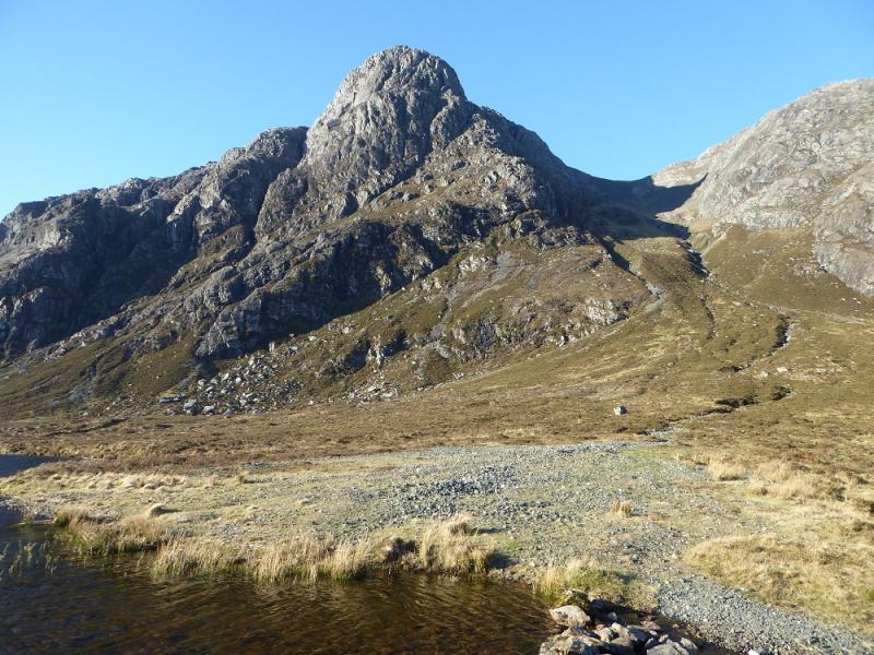
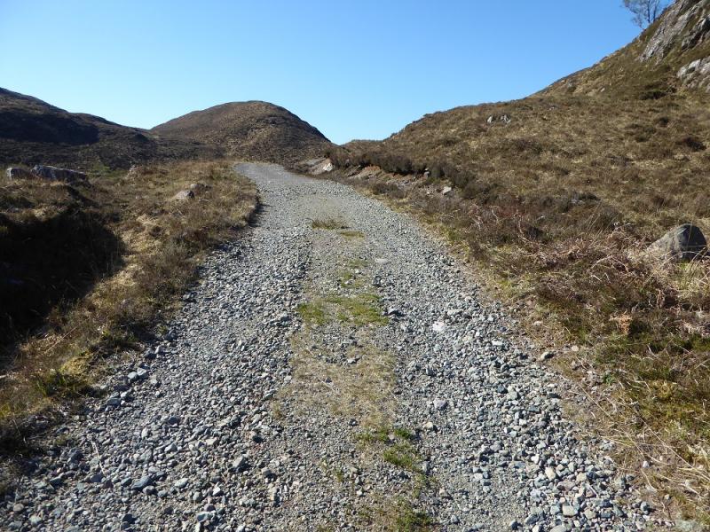
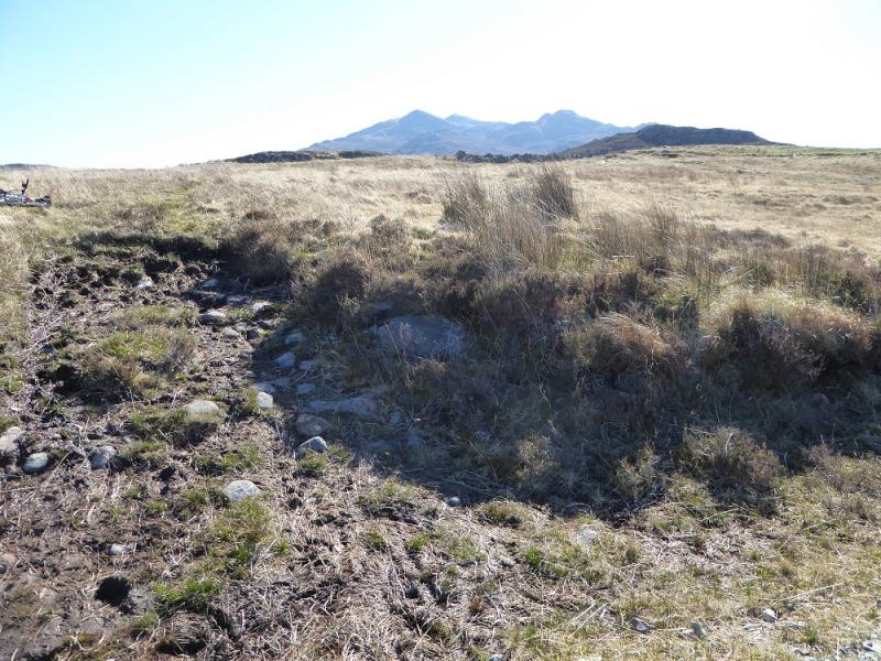
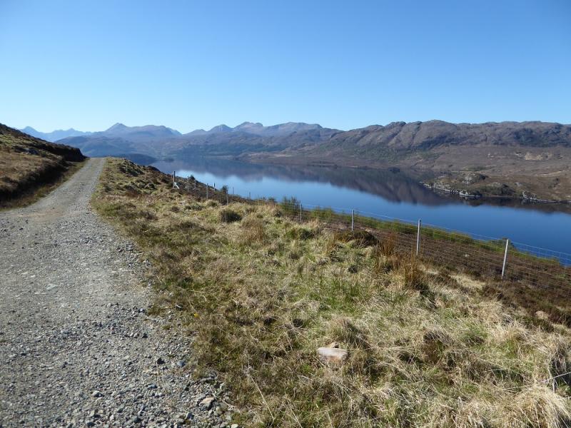
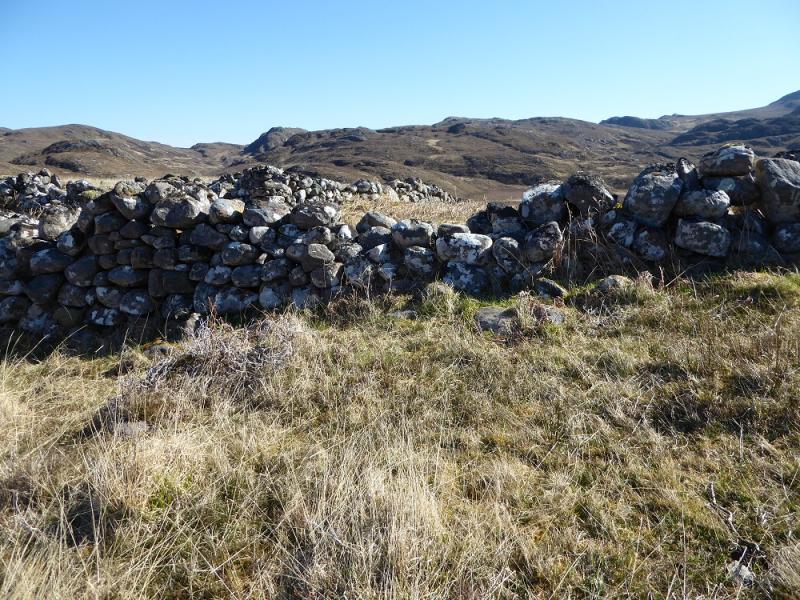
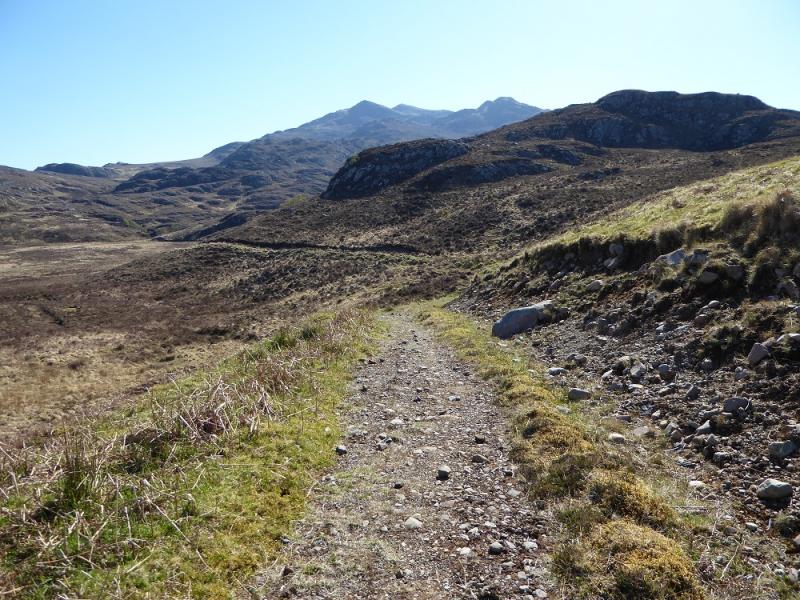
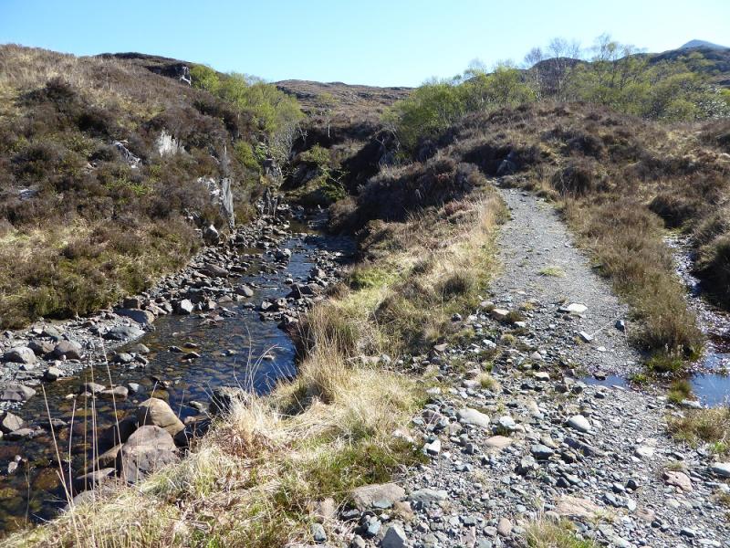
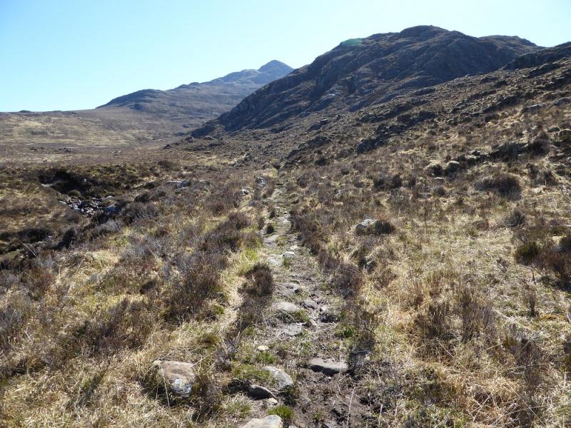
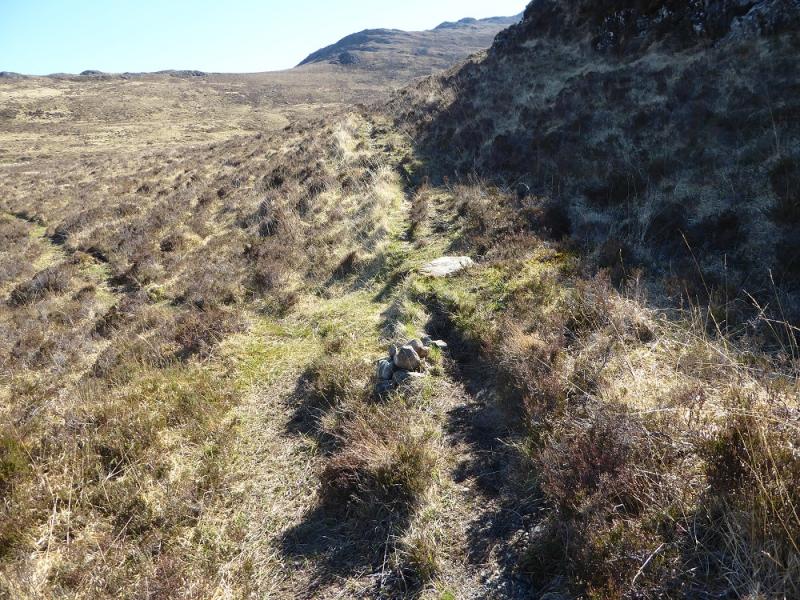
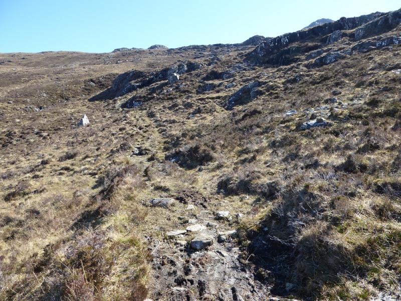
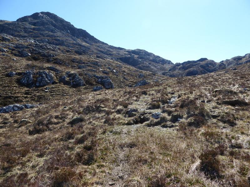
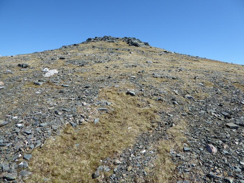
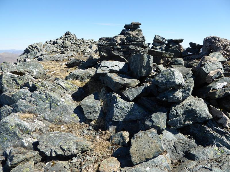
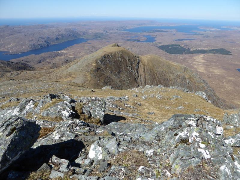
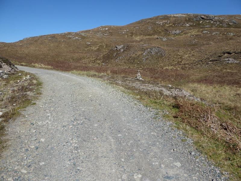
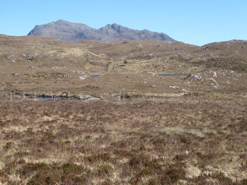
(1) From the car park, continue along the minor tarmac road. At Inveran, fork left on to a good track and follow this to just below the house at Kernsary. Do not cross the low concrete bridge but continue ahead which takes one up to a level section with view sup Loch Maree. Continue past the high point and reach a regeneration area on the right. Continue until about 100 m from the end of this. If you go much further the track will drop noticeably. On the left and set back back far enough as to not be obvious is an old sheep fold. On the left of the track, it looks like a wide “notch” has been cut to allow ATV access. Leave the bike here and walk to the sheep fold where the stalkers path becomes much more obvious. Follow the path for about 4 km (further than shown on the map). It is generally easy to follow and finishes up the side of the main stream from the col between Spidean nan Clach and Meall Chnaimhean. The prominent pointed peak is Spidean nan Clach and the path eventually passes below this to end in the col between Spidean nan Clach and Meall Chnaimhean. Continue ahead but drift left to avoid losing height then walk up a wide open grassy ramp to the col between Spidean nan Clach and Beinn an Airigh Charr. From there, ascend SE up steeper slopes (easier ground on the right) then go NE to the summit plateau where there is the remnants of an old trig point. A little further is medium cairn which marks the summit of Beinn Airigh Charr, 791 m.
(2) Retrace the outward route with the option of visiting the two subsidiary tops from their cols.
Notes
(a) This walk took place on 5th May, 2017, and about 15 years earlier.
Photos - Hover over photo for caption. Click on to enlarge. Click on again to reduce.