Get Lost Mountaineering
You are here: Scotland » 14 Loch Maree to Loch Broom and Garve » Letterewe & Fisherfield to Little Loch Broom
Beinn Dearg Mor & Beinn Dearg Bheag from Corrie Hallie via Shenavall from Corrie Hallie
Beinn Dearg Mor & Beinn Dearg Bheag from Corrie Hallie via Shenavall from Corrie Hallie
Start/Finish
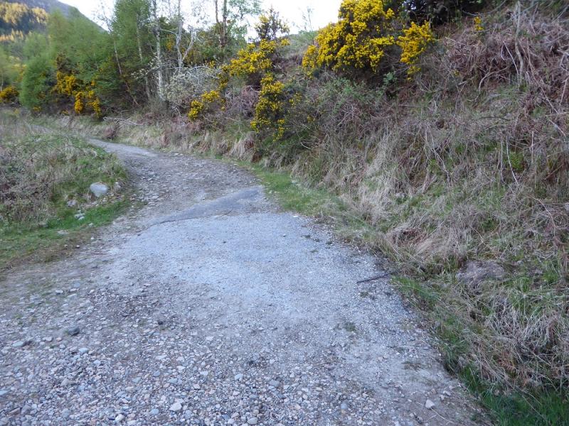
Car park at Corrie Hallie, NH 114 850, on the A832 road from Braemore Junction (with A 835 Ullapool to Inverness road) to Gairloch. Corrie Hallie is just over 2 miles before Dundonnell. There is no longer a shop/cafe at Corrie Hallie. If staying at Dingwall, it is about 45 miles to Corrie Hallie.
Distance/Time
27 km. About 12 - 13 hours.
Peaks
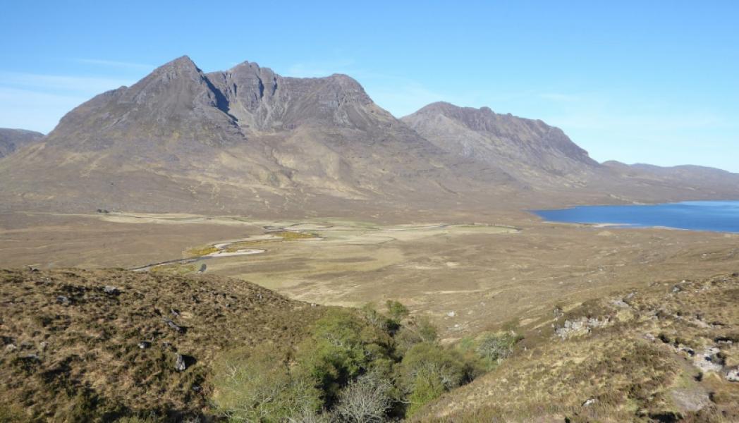
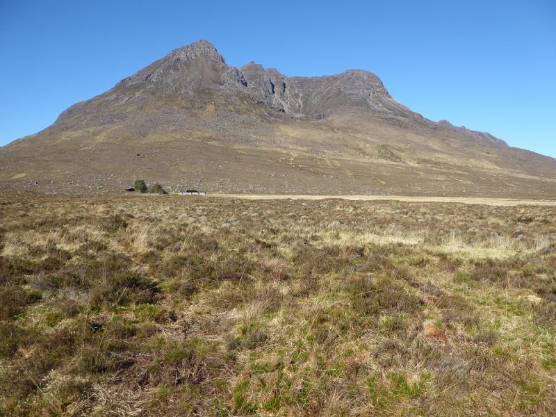
Beinn Dearg Mor, 910 m, NH 032 799.
Beinn Dearg Bheag, 820 m, NH 020 811. OS sheet 19: Gairloch & Ullapool.
Introduction
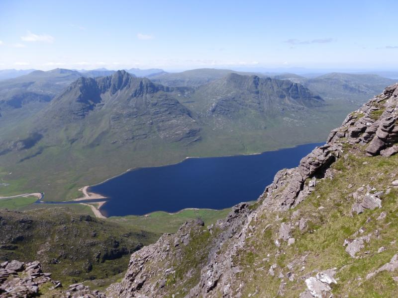
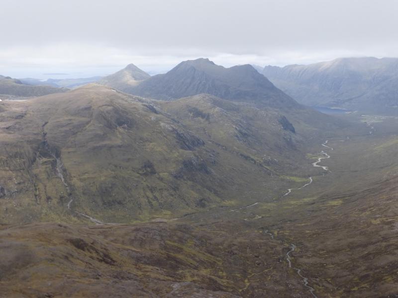
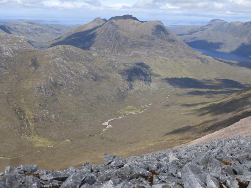
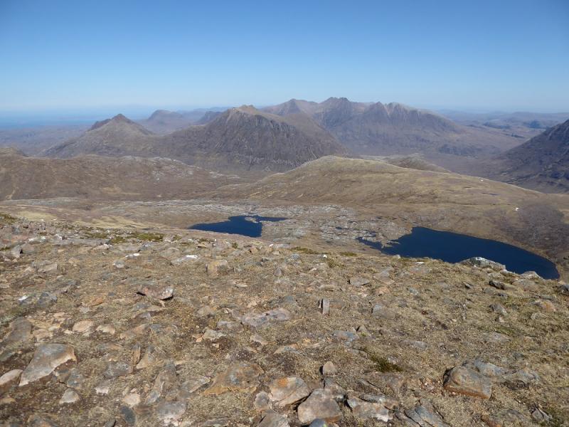
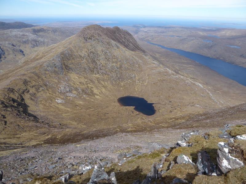
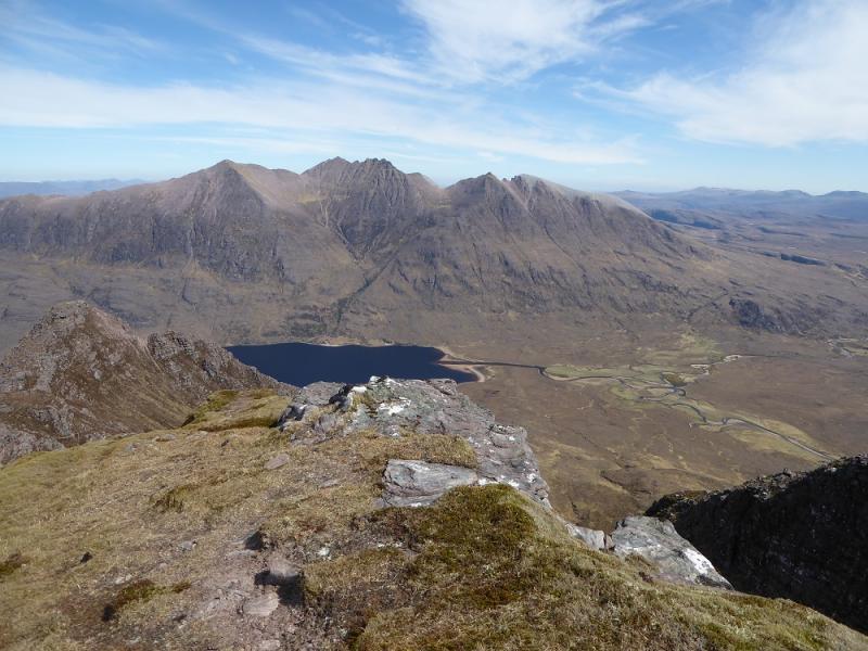
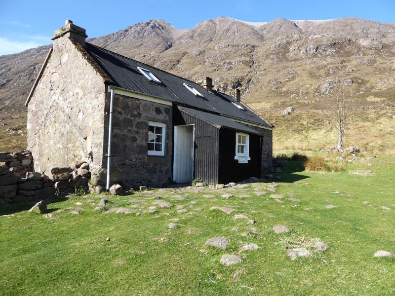
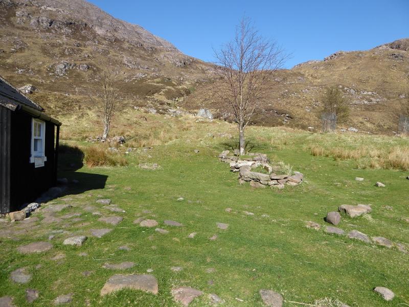
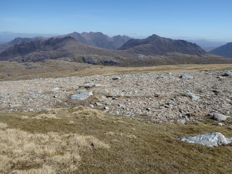
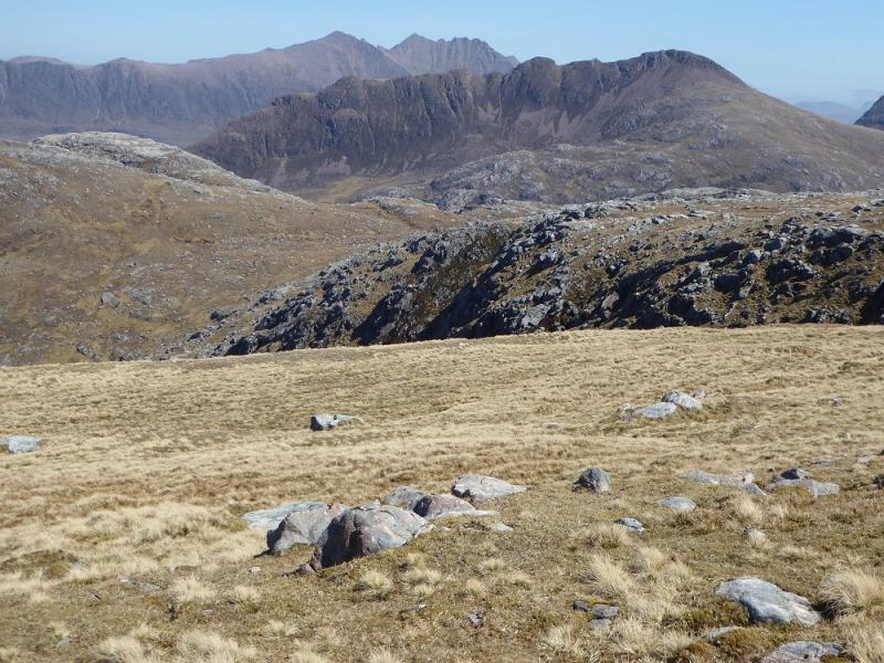
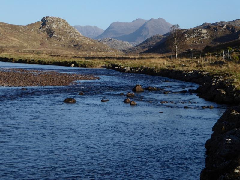
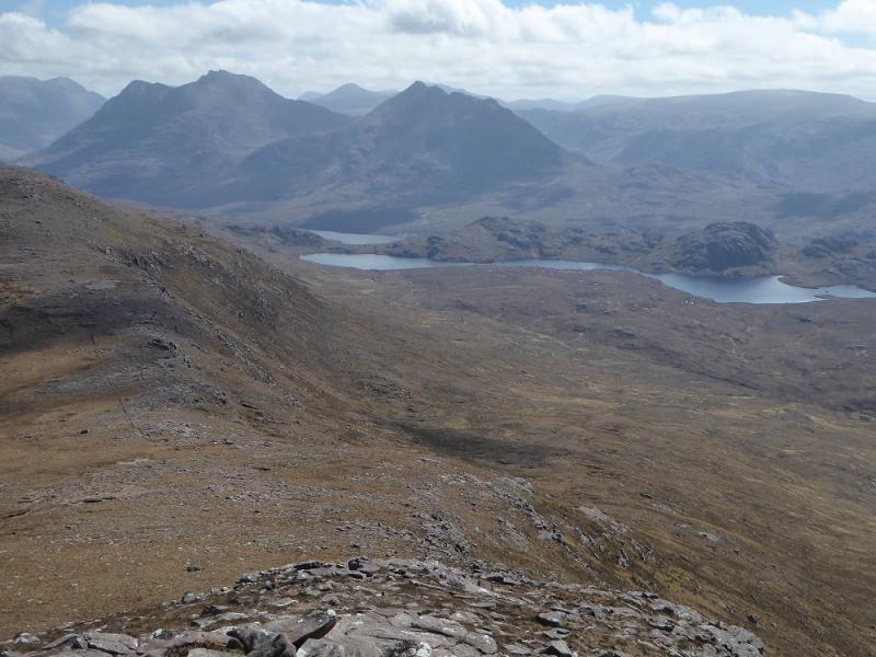
These are not the highest mountains in Fisherfield, “the Great Wilderness”, but many consider them to be the finest. They are very inaccessible and many back pack in or stay at the bothy at Shenavall which is very popular and often crowded. The approach from Corrie Hallie involves crossing over a ridge over 300 m high then losing all this height to reach Shenavall via a boggy path. This has to be reversed at the end of the day. There are two rivers to be crossed, at Shenavall and Larachantivore, and these are only crossable in a dry spell as there are no bridges. The views are breathtaking and include An Teallach, A' Mhaighdean and many more. Parking at Corrie Hallie is often insufficient especially on a fine and dry weekend. There can often be no spaces left by 6 am!
Route
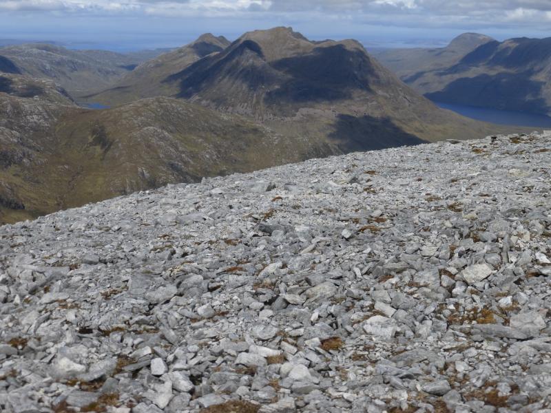
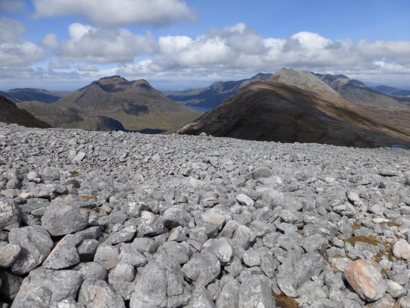
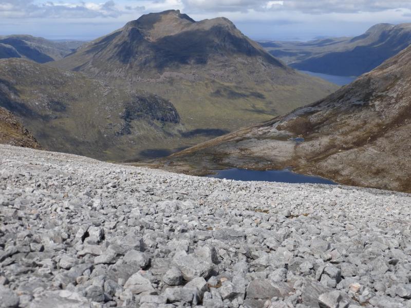
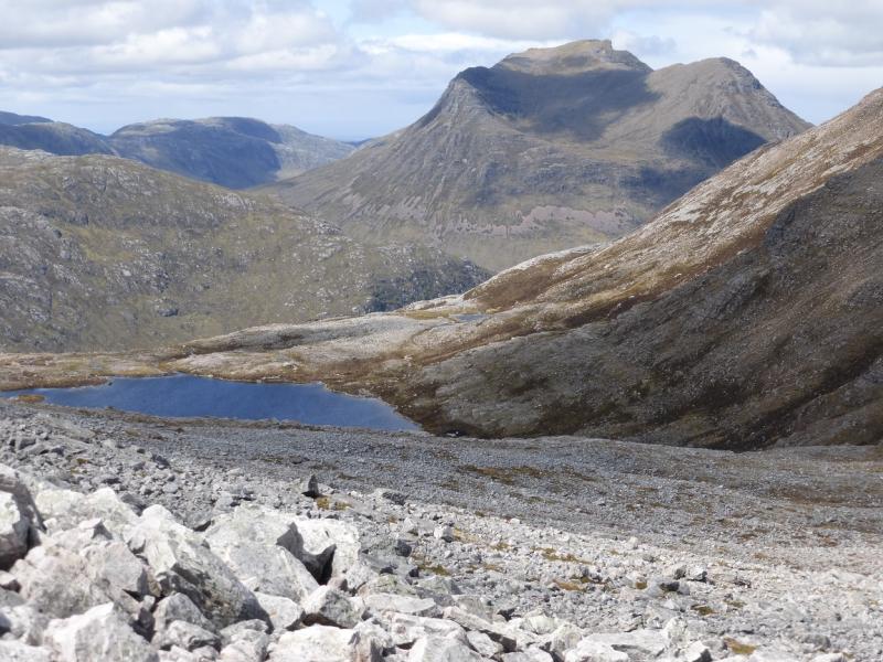
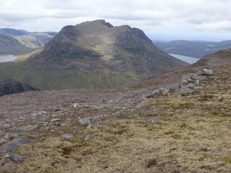
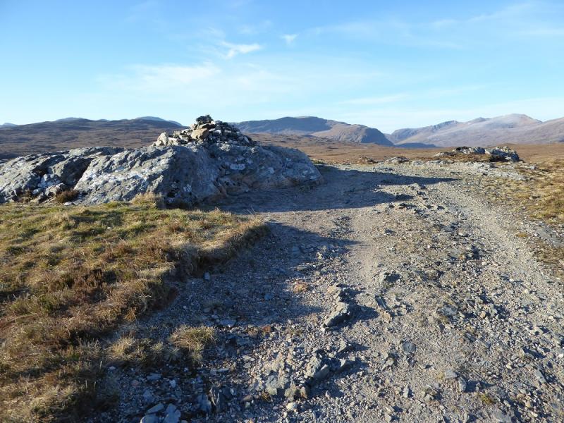
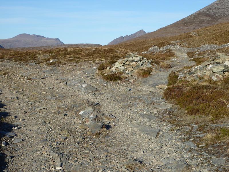
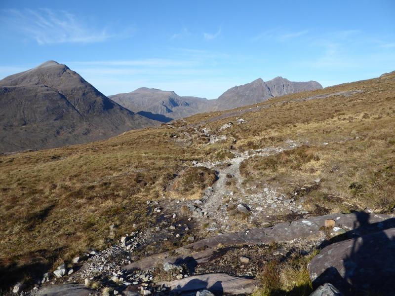
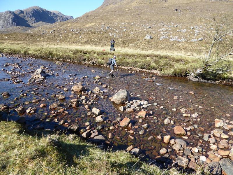
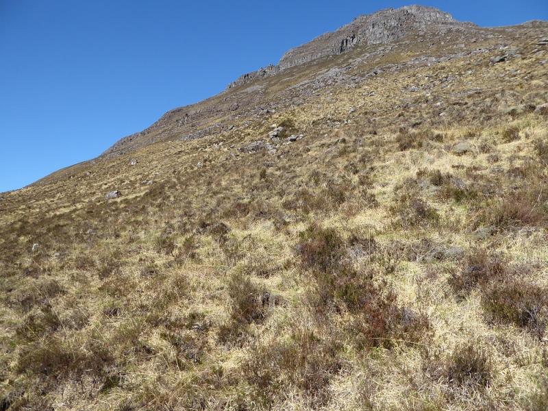
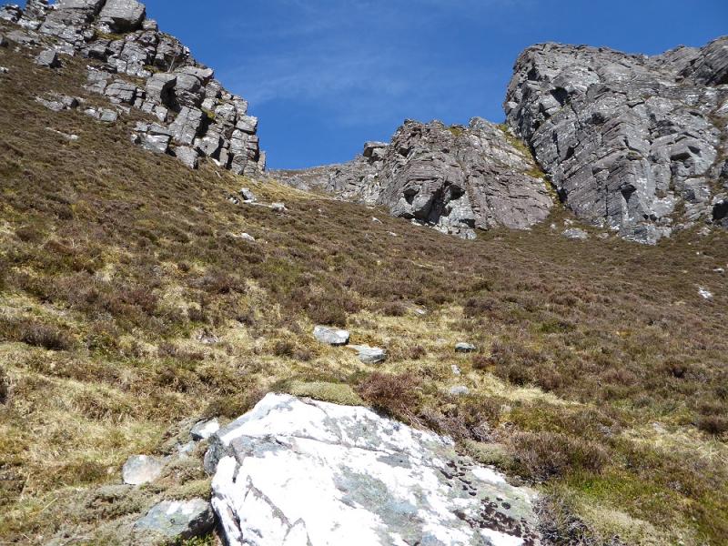
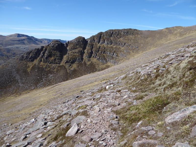
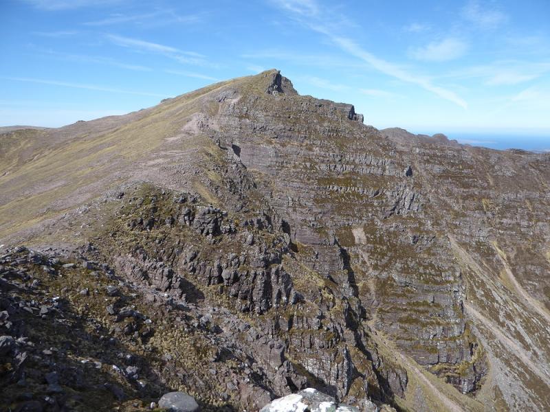
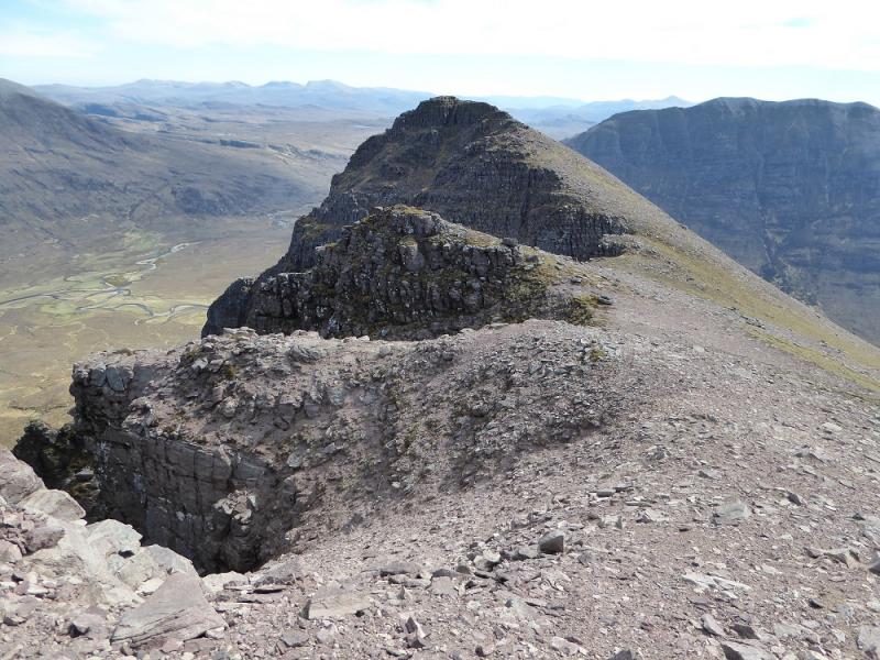
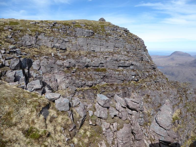
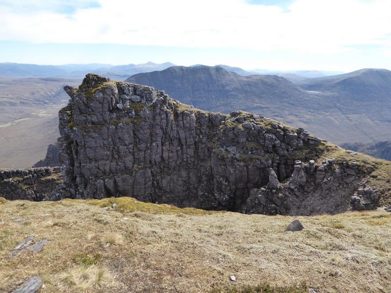
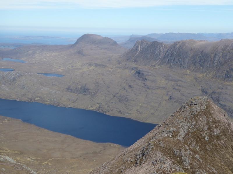
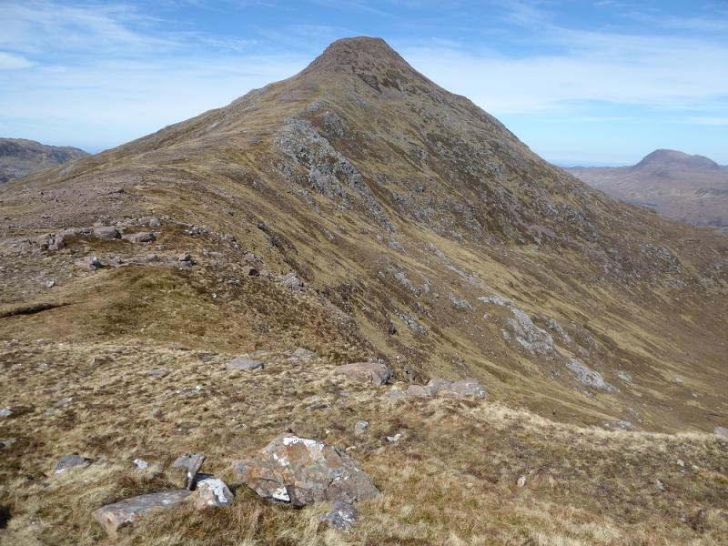
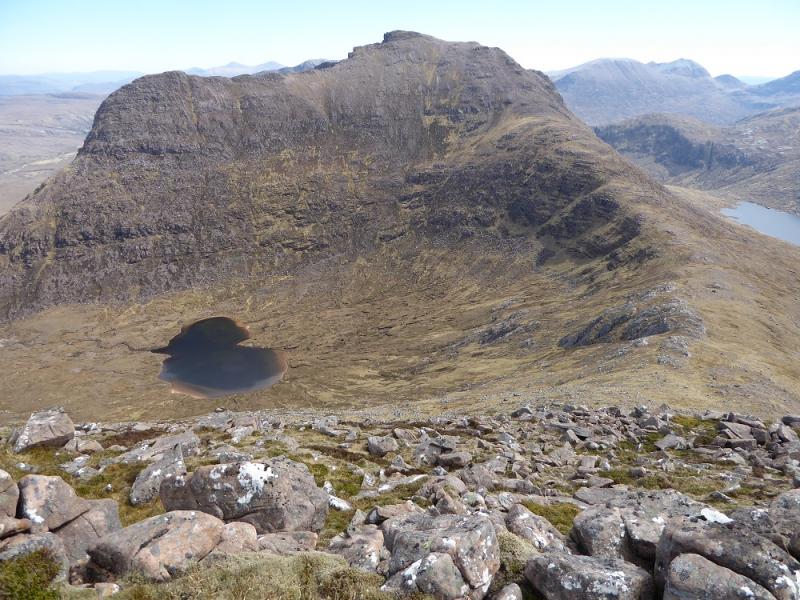
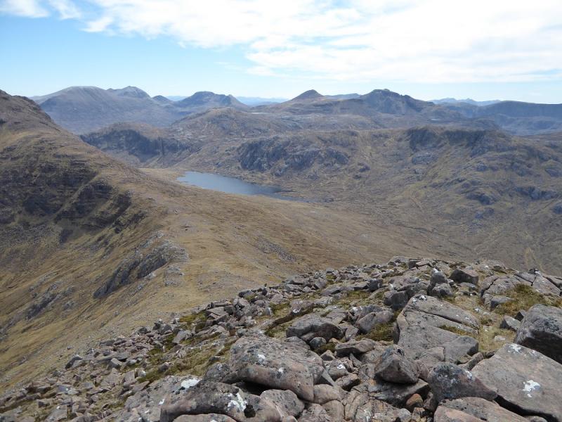
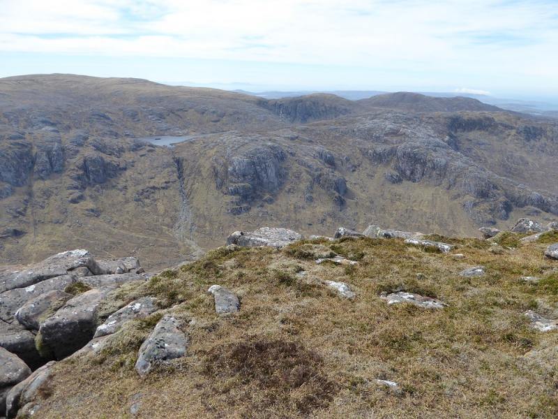
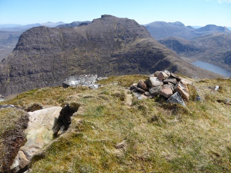
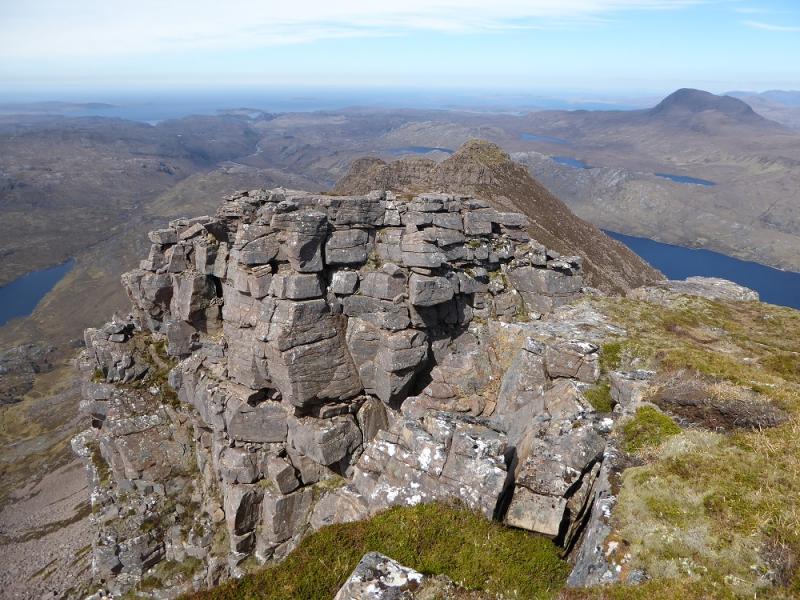
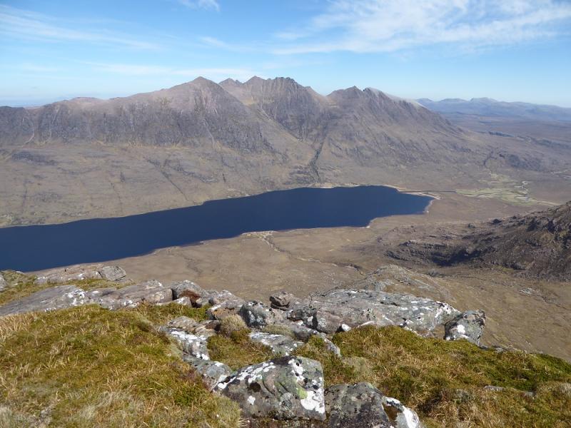
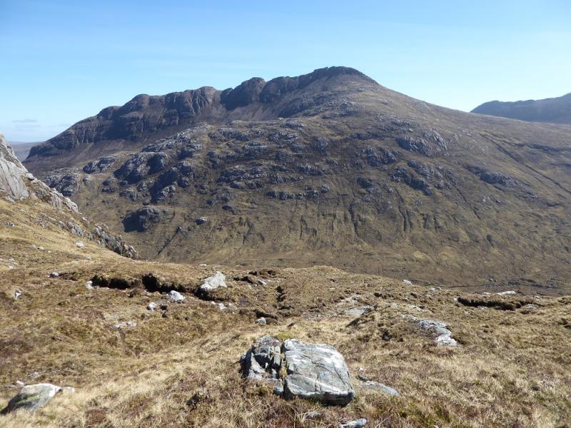
(1) Take the signed track fromCorrie Hallie and follow it up. A stream can be crossed by a bridge in wet weather but if you need the bridge then you won't be able to cross the rivers later on! Continue up a steeper section of track to a large cairn. Soon after, the Shenavall path forks right at a smaller cairn. This is easy to follow at first. There are some variations created by people avoiding bogs in wet weather. Be careful when starting to descend as the path can be faint in places so be alert and follow the map heading W. The path makes its final descent down the side of a stream with Shenavall being well hidden until quite low. The bothy gives omewhere to rest for a while if needed. Continue past Shenavall and follow a path down to the river which is easiest to cross at an island. In a dry spell, the river may only be a few inches deep; in a wet spell it may be several feet deep. Once across, follow a faint path WSW to Larachantivore. Normally this section can be very boggy but it can dry out sometimes! In a dry spell, cross the river S of the building. In a wet spell, the river will be uncrossable. Once across, note the line of cliffs high above on Beinn Derag Mor. Make a rising traverse, SW, to reach their left hand end. Surprisingly, there is more than a hint of a path in places. Don't aim for the break in the cliffs directly above Larachantivore, you want to be much further to the left.. Over to the left, there are two breaks in the cliffs. The first is quite wide and gives access to a steep grassy ramp. Follow this up until it is easy to gain the edge on the left. Follow this up, keeping left but above the hanging corrie on the left. Try not to drift right as you will only have to come back! It can be hard going but the summit will eventually come into view and this approach gives a very good view of it. Continue up, joining a ridge from the top of the hanging corrie and soon reach the large cairn which is the summit of Beinn Dearg Mor, 910 m. As an alternative to the steep ramp, continue below the cliffs to reach the entrance to a hanging corrie and follow this up to its head then out by its top right corner to the summit.
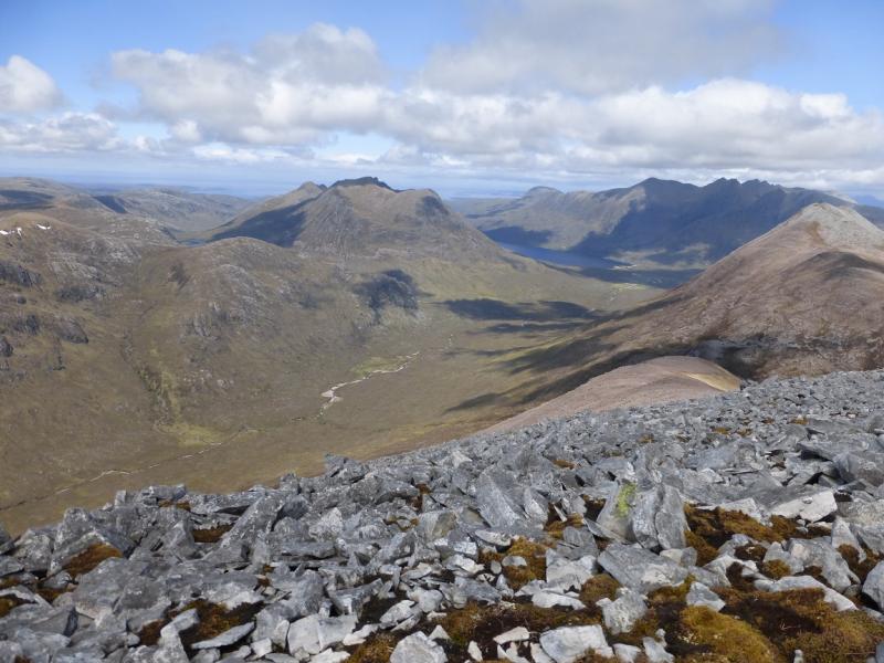
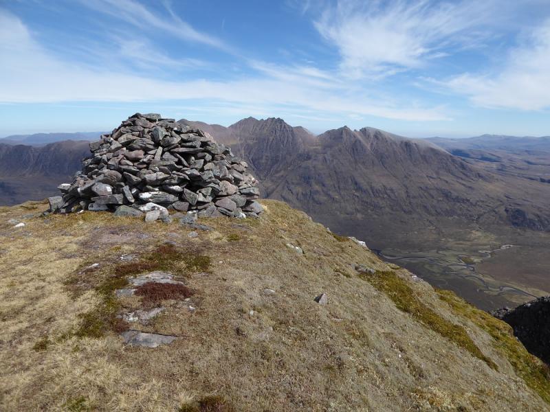
(2) Go W along the summit crest until the ground steepens then descend NNW down a rough path to the col below Beinn Dearg Bheag. Continue up the other side which becomes rocky higher up but any difficulties are easily avoidable and a grassy top is reached where a small cairn marks the summit of Beinn Dearg Bheag, 820 m.
(3) Either return to the col and then pick a way down the corrie, NE, to Loch na Sealga or carefully descend directly from the summit aiming for below the outflow of the loch in the corrie. Eventually, reach Loch na Sealga and follow the old rough track SE along its side. When the track starts to head for Larachantivore, look for a crossing of the river. In a dry spell the combined rivers can be crossed together. Once across be careful not to be fooled into crossing back as the rivers meander somewhat! Return to Shenavall then over the high crest back to Corrie Hallie.
Notes
(a) This walk took place on 6th May, 2017, and about 15 years earlier.
Photos - Hover over photo for caption. Click on to enlarge. Click on again to reduce.