Get Lost Mountaineering
You are here: Scotland » 14 Loch Maree to Loch Broom and Garve » Letterewe & Fisherfield to Little Loch Broom
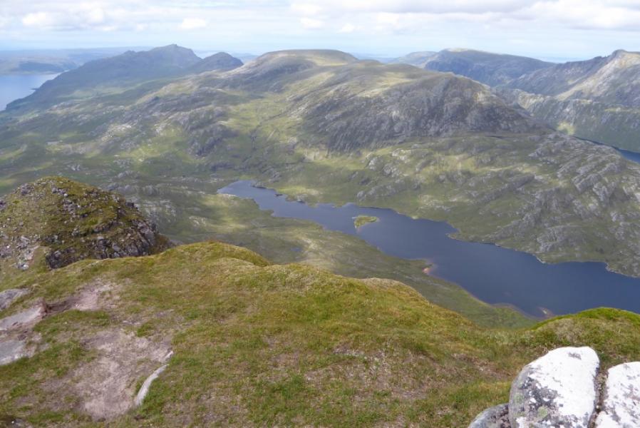
Beinn Lair & Meall Mheinnidh from Poolewe
Beinn Lair & Meall Mheinnidh from Poolewe
Start/Finish
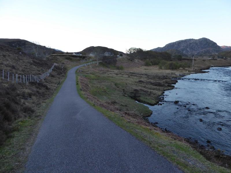
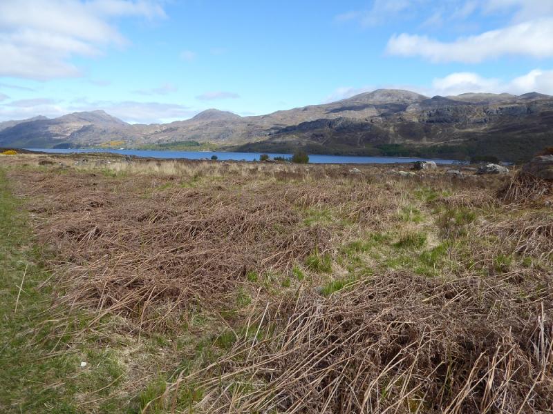
Car park a few metres down the minor road on the east side of the bridge in Poolewe. Poolewe is between Gairloch and Aultbea on the A832 road around the Gairloch peninsula. There is a Camping and Caravanning Club site at Poolewe and a Youth Hostel at Gairloch.
Distance/Time
10 km bike + 26 km walk. About 11 - 12 hours.
Peaks
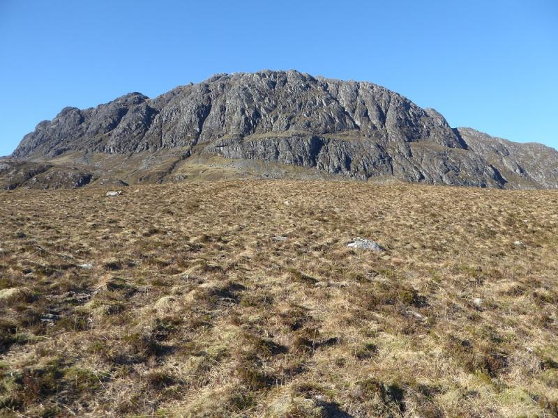
Beinn Lair, 859 m, NG 981 732.
Meall Mheinnidh, 722 m, NG 955 748. OS sheet 19: Gairloch & Ullapool
Introduction
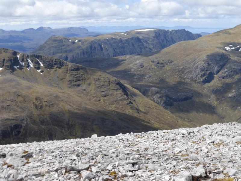
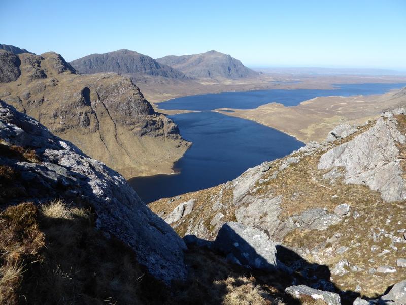
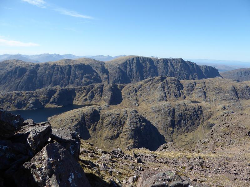
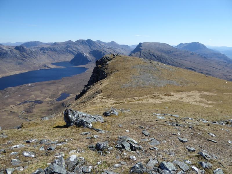
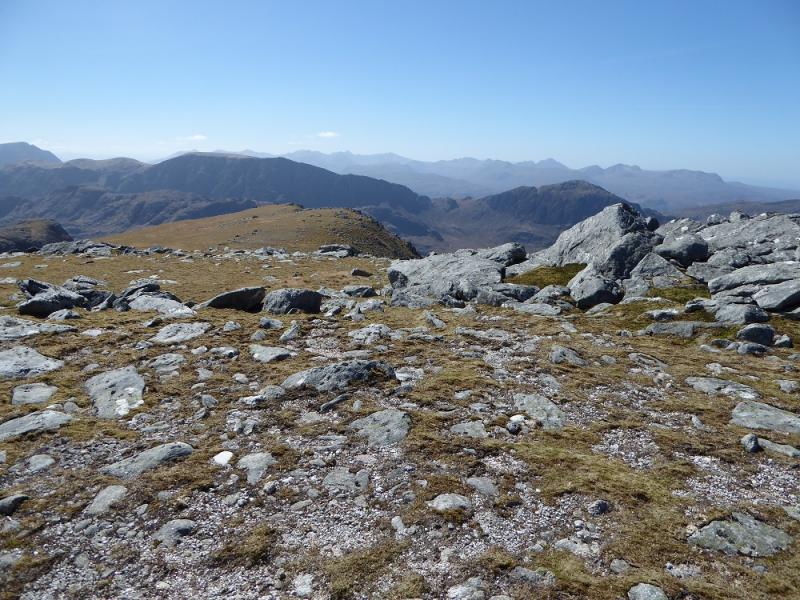
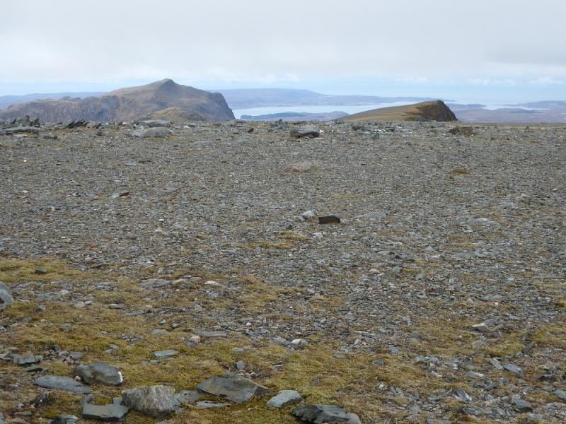
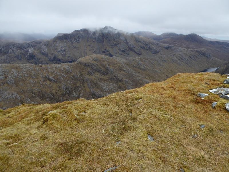
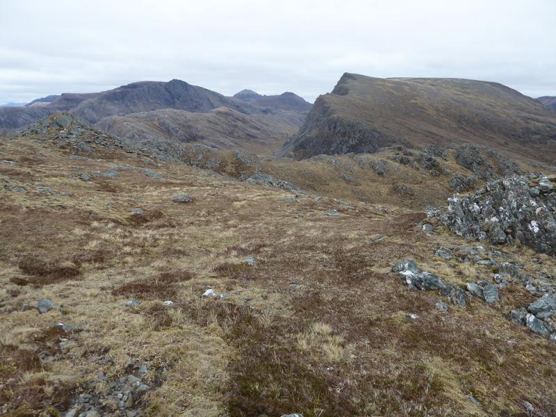
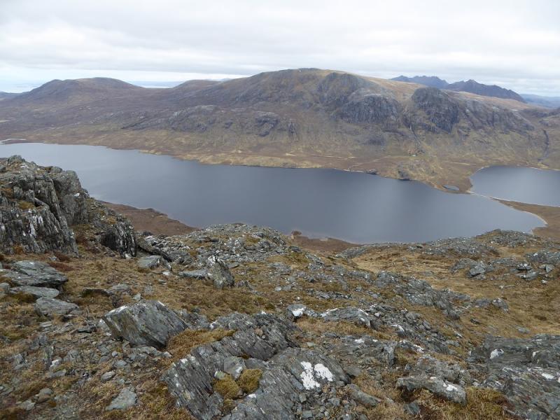
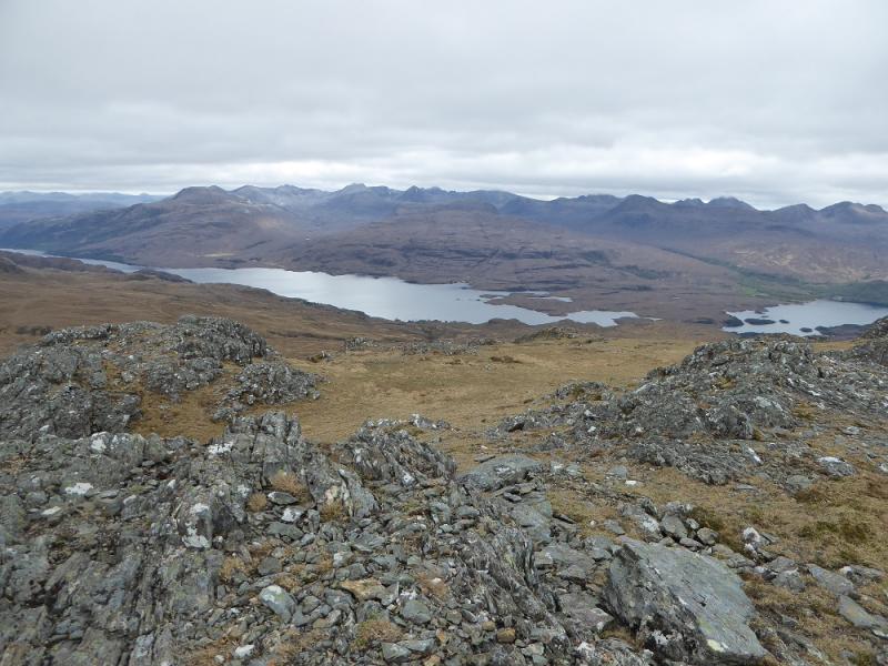
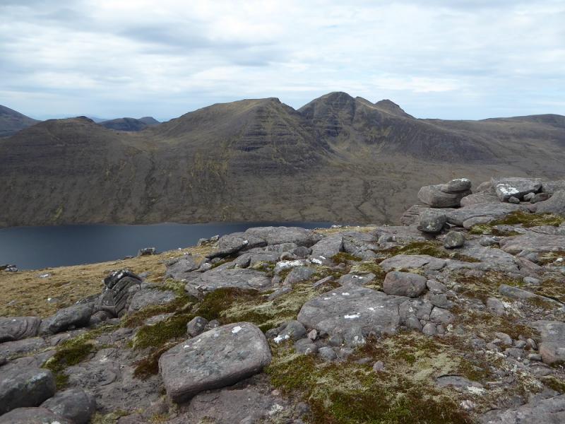
These are two fairly remote mountains being situated well into Fisherfield Forest which is often described as the “Last Great Wilderness” due to its inaccessibility. A bicycle can be used from Poolewe to Kernsary which is about 5 km each way. There are excellent views into the heart of Fisherfield especially to A' Mhaighdean, the remotest Munro, from Beinn Lair. Slioch is also close to Beinn Lair.
Route
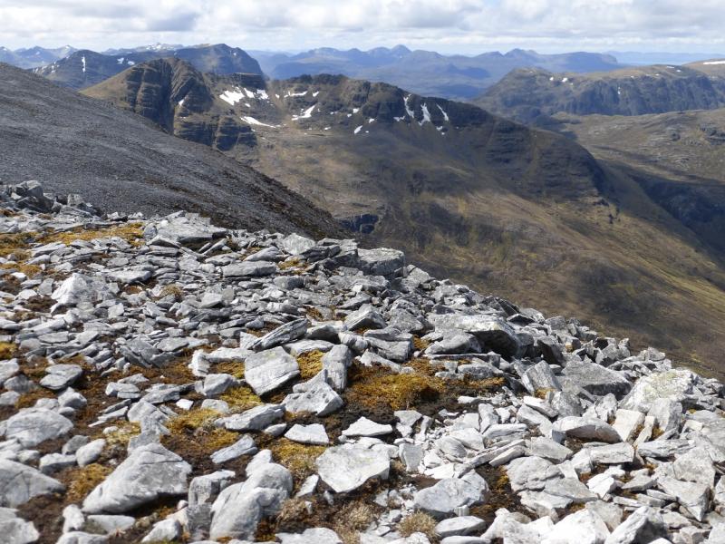
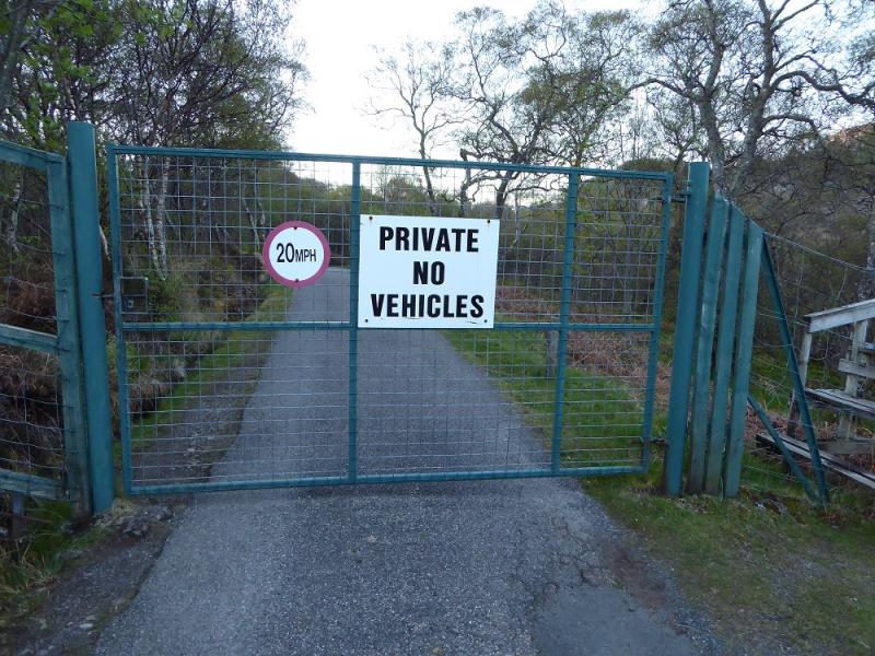
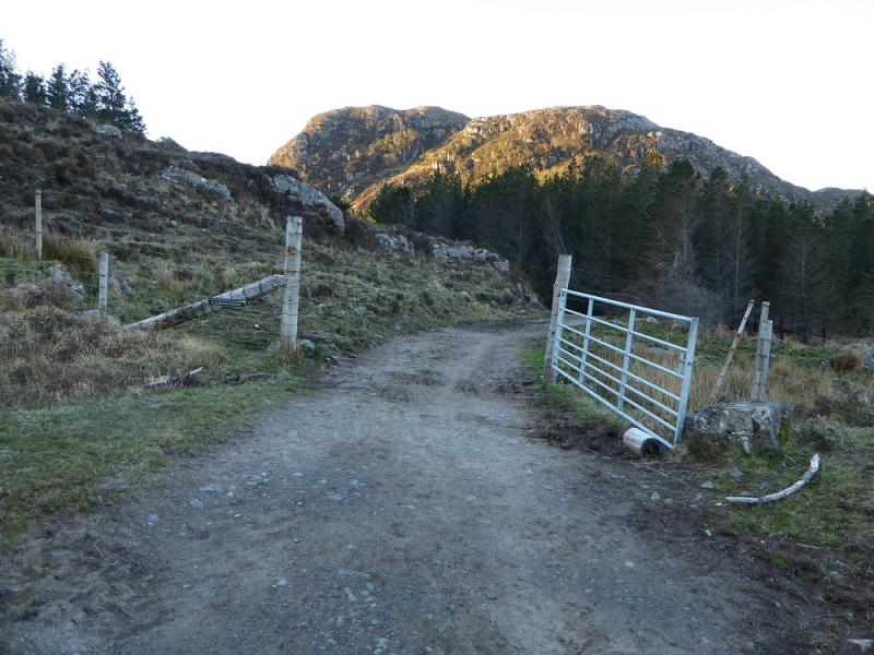
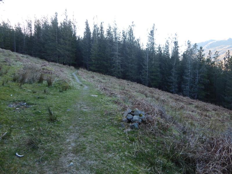
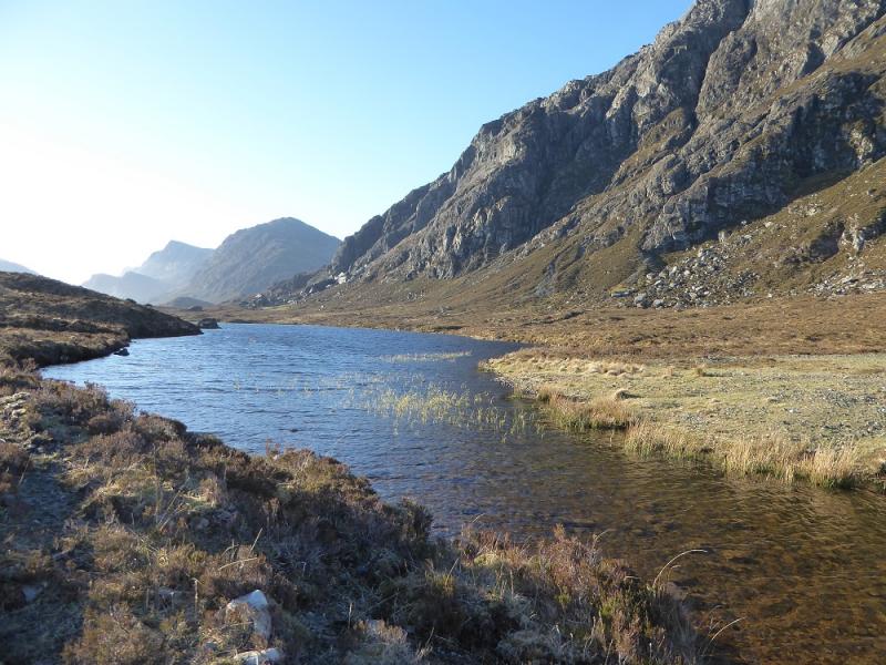
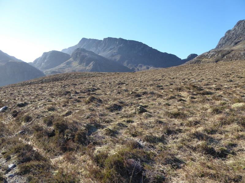
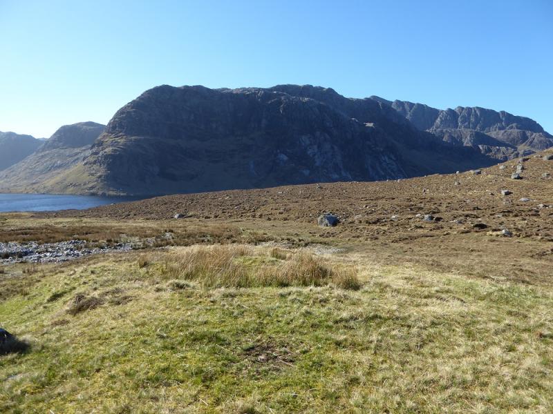
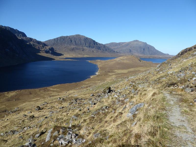
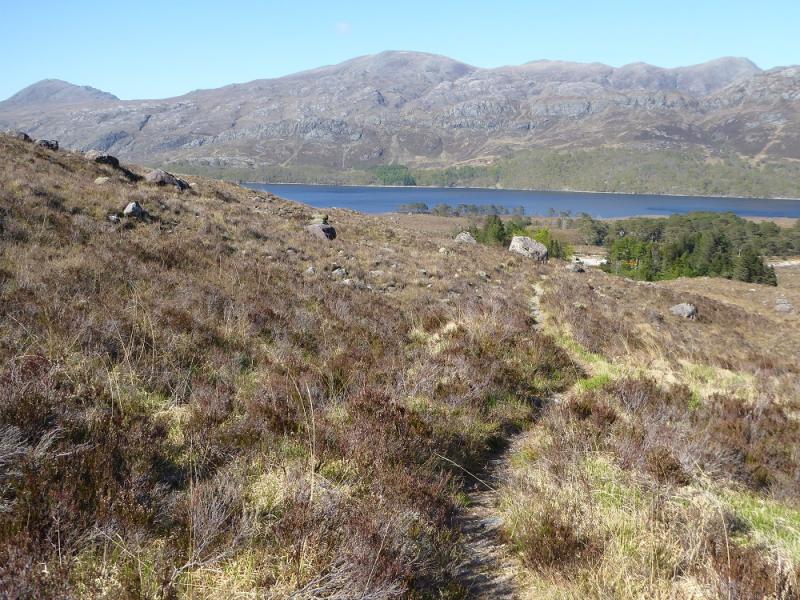
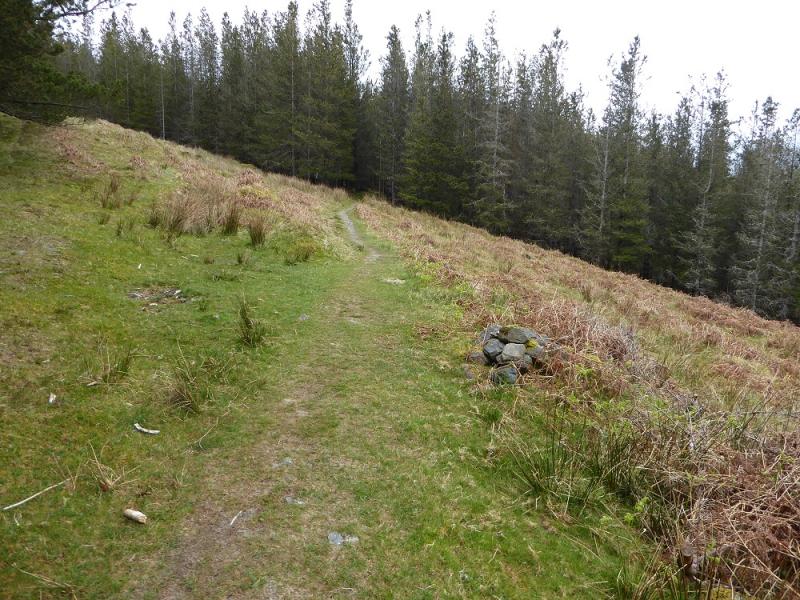
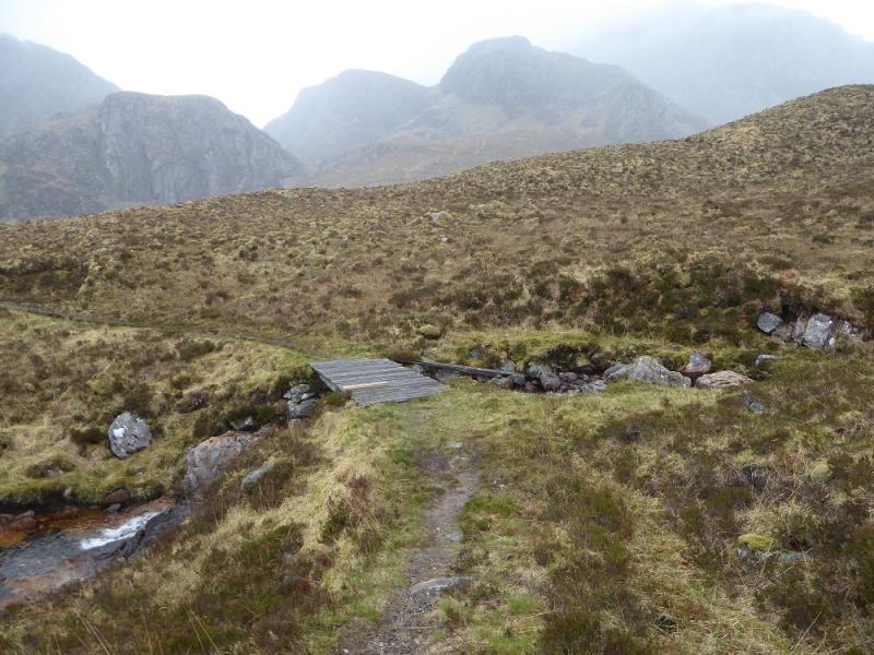
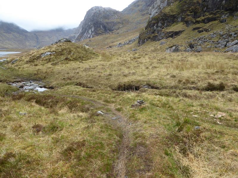
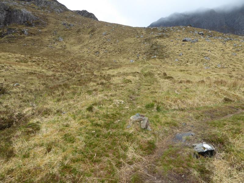
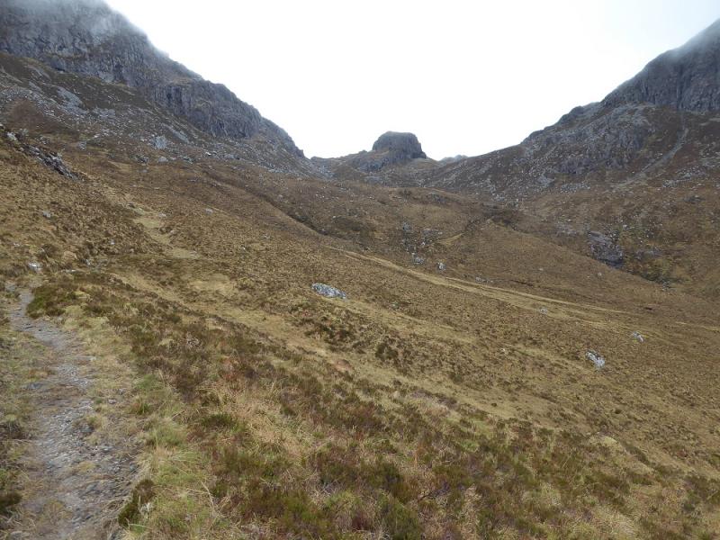
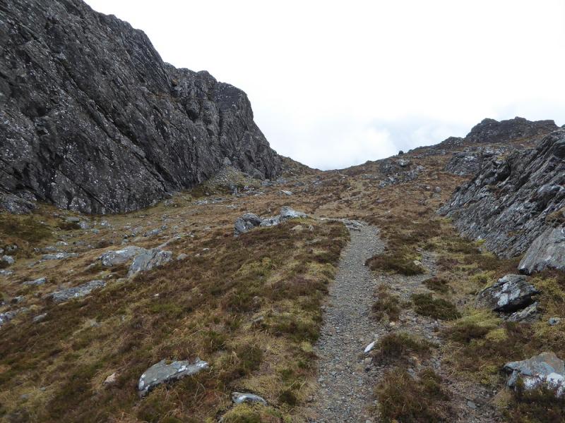
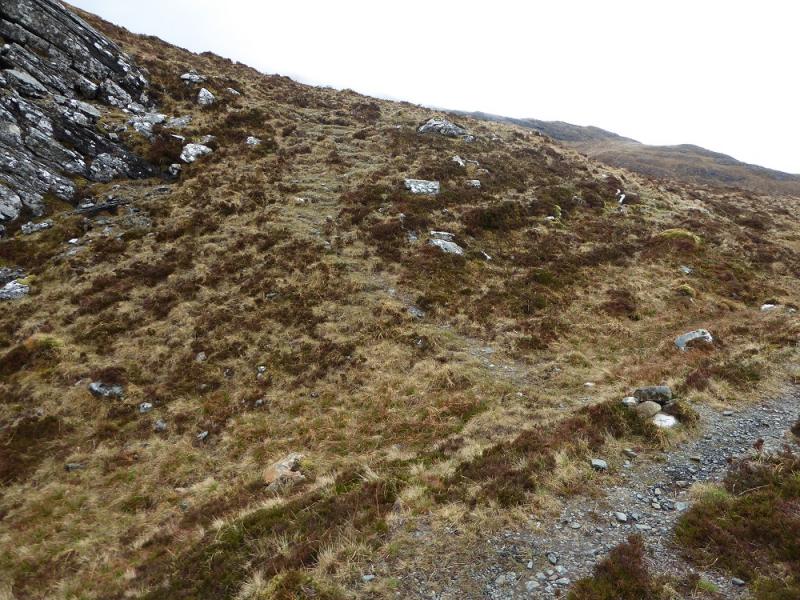
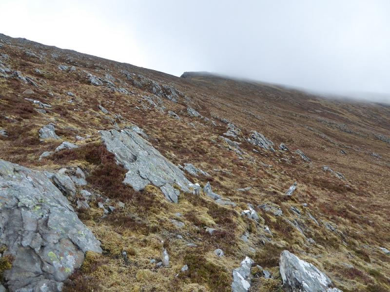
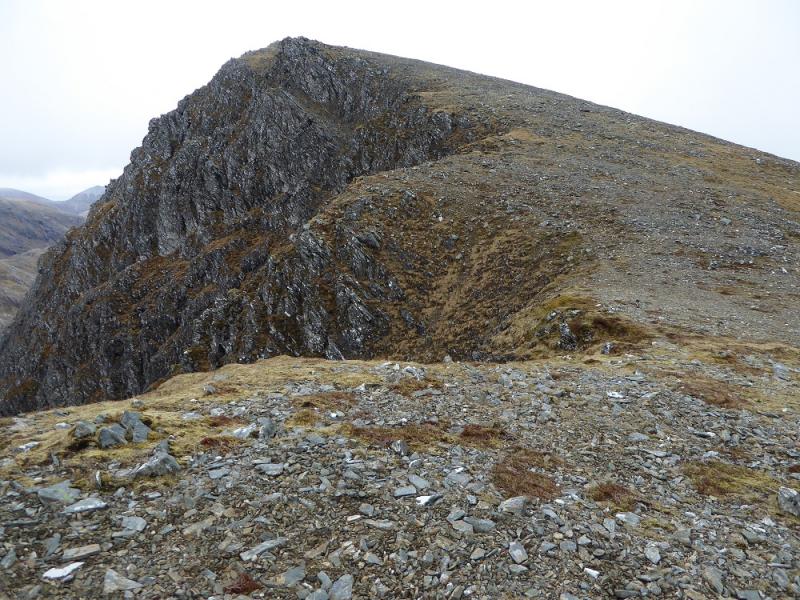
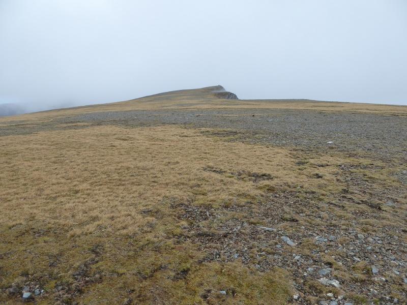
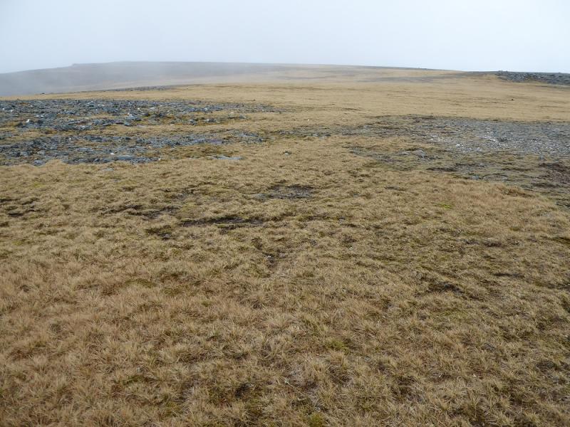
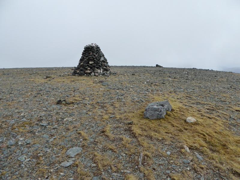
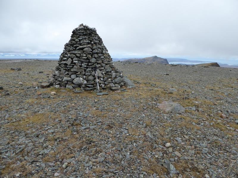
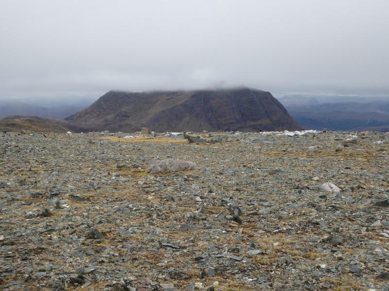
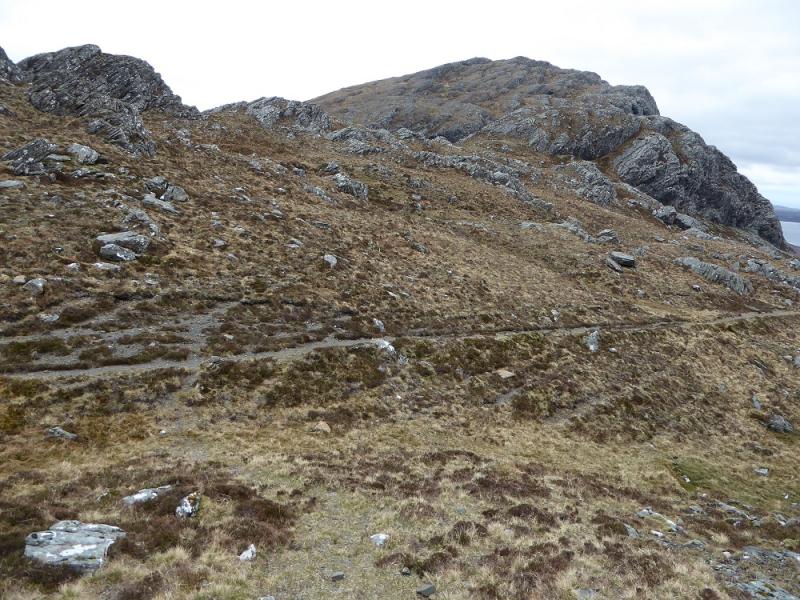
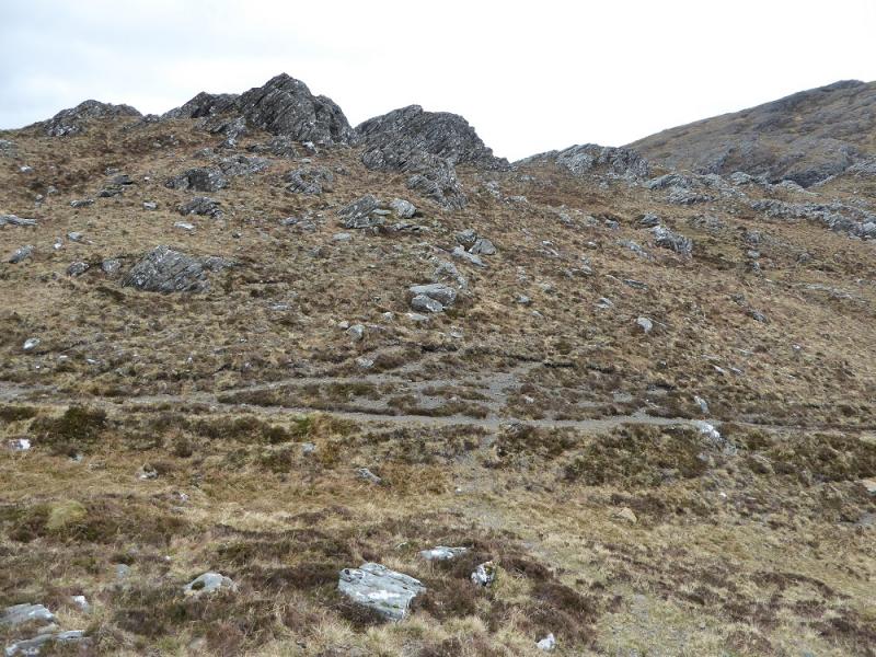
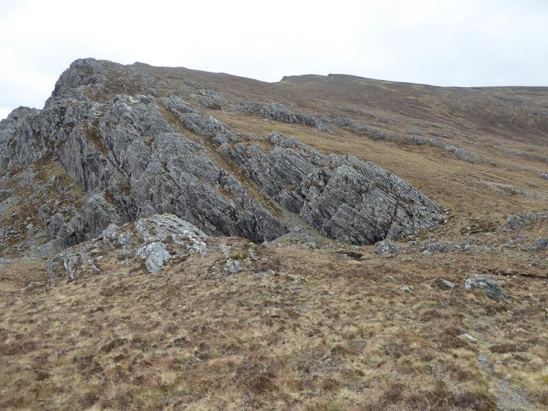
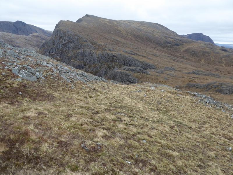
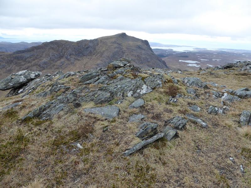
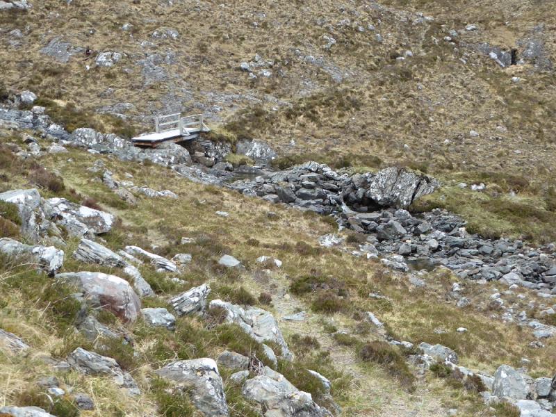
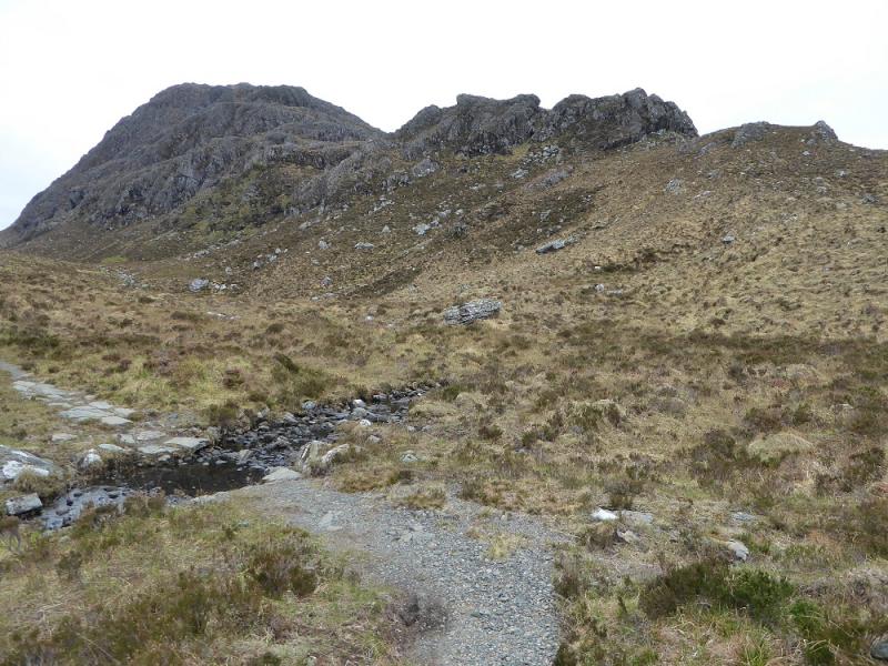
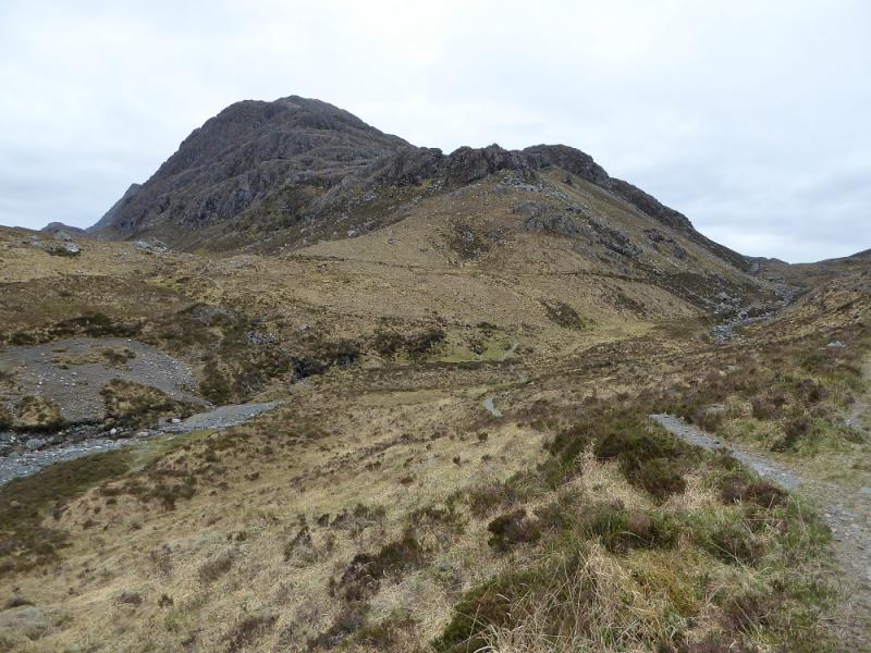
(1) From the car park, continue along the minor tarmac road. At Inveran, fork left on to a good track and follow this to Kernsary, crossing a low concrete bridge to reach the house. Continue on the track until it splits then take the right fork for a gate which usually has a sign saying Carnmore on it. Bikes are best left here as the track in the wood is very boggy except after a long, dry and hot spell. Follow the track through the wood to where a short path starts at a cairn. This soon leads to the edge of the wood. If you have managed to get your bike this far then leave it here as it is only path from here on. You are actually on a new path, constructed at some expense, but this is now starting to break up in places mainly because of the impact of mountain bikers who are putting their own interests above those of the majority of users. Follow the good path for about 9 km from the wood. At one point, a wide stream is crossed between Beinn Airigh Charr and Meall Mheinnidh. In wet weather, there is a bridge further upstream. About 3 km after crossing the wide stream, a minor stream is crossed by a falt wooden bridge. About 6 minutes walking later, a small cairn is reached where the path for Beinn Lair goes right. This cairn is easily missed so if you reach the shore of Fionn Loch you have gone too far! The path for Beinn Lair soon goes up a shallow twisting groove. At the top of this there seems to be a track off to the left. Ignore this and continue up, heading for the col between Beinn Lair and Meall Mheinnidh. The path goes to the left of a large rocky peak seemingly sitting in the col when seen from below. Higher up, another path goes off left below the cliffs. Ignore this too and continue past a wall on the left to reach a small cairn where a path goes off left. This is before the col is actually reached. Follow the path up but it will soon become too faint to follow. It is easiest to head for the edge on the left and walk along the top of the cliffs or one can cut a corner and join the edge higher up. A path reappears higher up but not for long! A medium cairn is reached which is not the summit but the NW top so be careful in mist. The summit is about 1 km further and set back from the edge on a large and featureless plateau. The summit cairn may take some finding in mist but once found it is unmistakeable being nearly 3 m high and perfectly round and pointed. There is at least one other much smaller cairn nearby. This huge cairn marks the summit of Beinn Lair, 859 m.
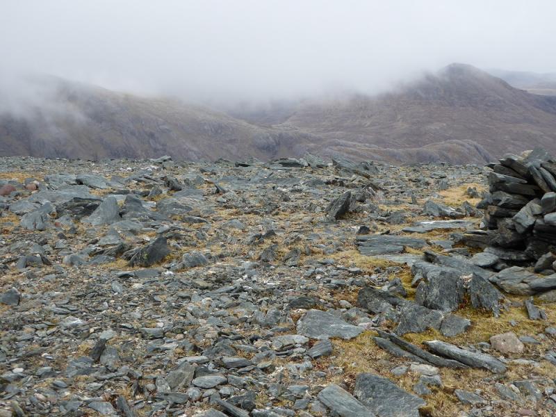
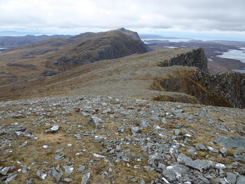
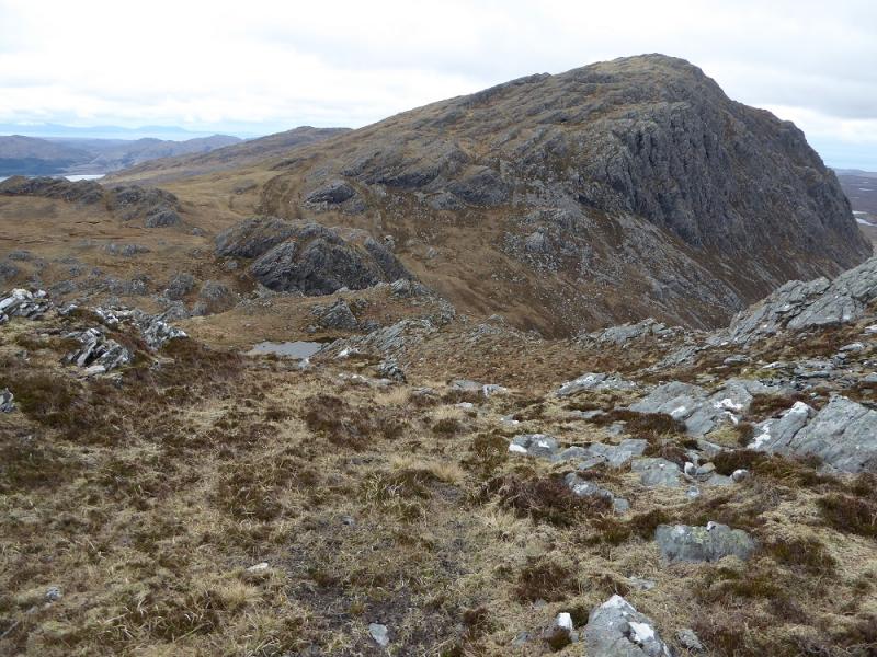
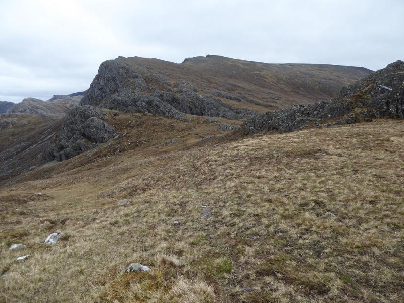
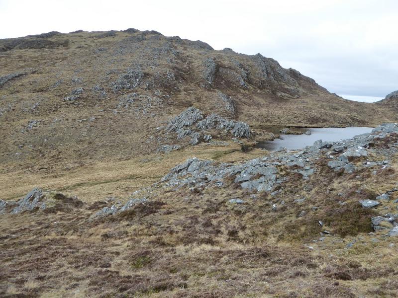
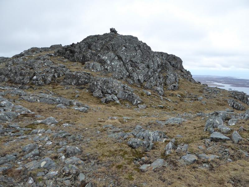
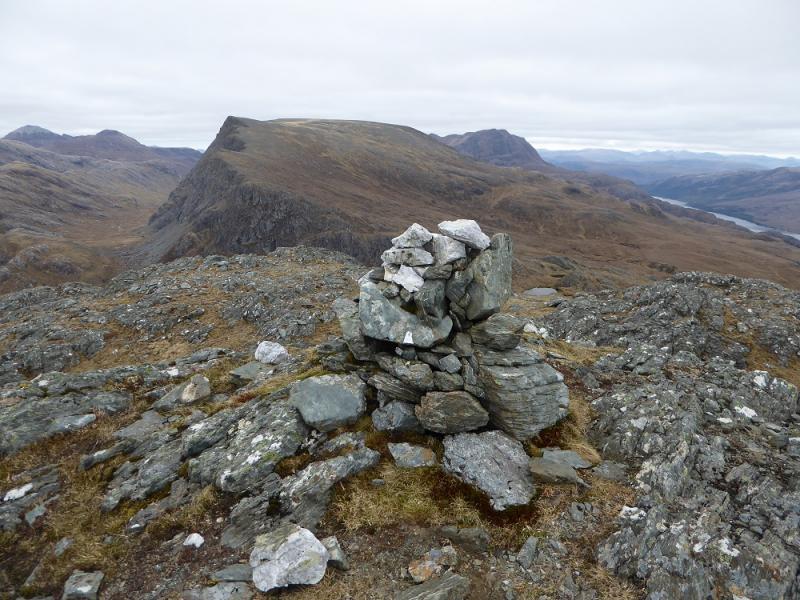
(2) Retrace to the col below Meall Mheinnidh and pick up the path which starts almost where the Beinn Lair path crosses the stalkers path. The path gains little height to start with and goes to the S of most of the rocky areas before starting to climb the S ridge. It gradually peters out but the way up is fairly obvious and trouble free passing a small lochan before a small cairn is reached on top of an outcrop. This is the summit of Meall Mheinnidh, 722 m. On 10/5/17, the cairn had a few white quartzite rocks on its top.
(3) Start descending the NW ridge. This is a mixture of grassy ramps and short cliffs so it is necessary to be careful and weave around to avoid difficulties. Eventually, reach the foot of the ridge and rejoin the main path back to Kernsary and on to Poolewe.
Notes
(a) This walk took place on 10th May, 2017, and about 15 years earlier.
Photos - Hover over photo for caption. Click on to enlarge. Click on again to reduce.