Get Lost Mountaineering
You are here: Scotland » 13 Applecross, Coulin and Torridon » Loch Torridon to Loch Maree
Ruadh-stac Beag & Meall a' Ghiubhais via Glas Leitir Mountain Trail
Ruadh-stac Beag & Meall a' Ghiubhais via Glas Leitir Mountain Trail
Start/Finish
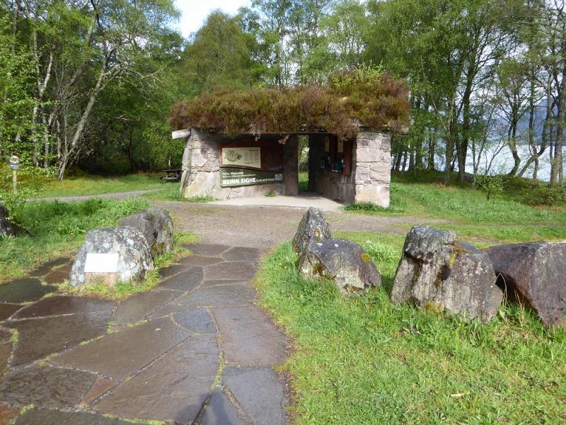
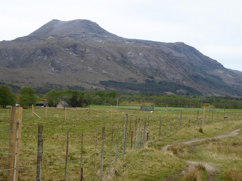
Glas Leitir Mountain Trail car park which is about 3 miles north west of Kinlochewe on the A832 which runs alongside Loch Maree. There is usually plenty of free parking and plenty of midges in the summer!
Distance/Time
16 km. About 8 - 10 hours.
Peaks
Ruadh-stac Beag, 896 m, NG 973 614.
Meall a'Ghiubhais, 887 m, NG 976 634. OS sheet 19: Gairloch & Ullapool
Introduction
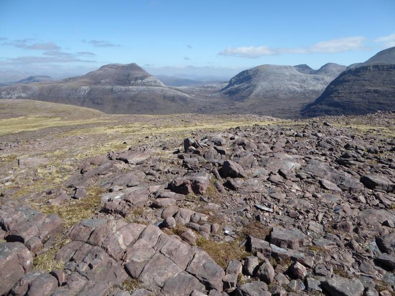
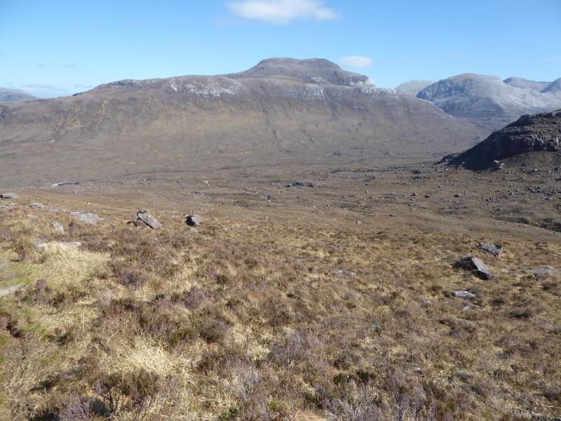
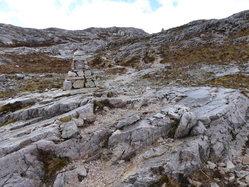
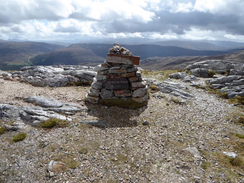
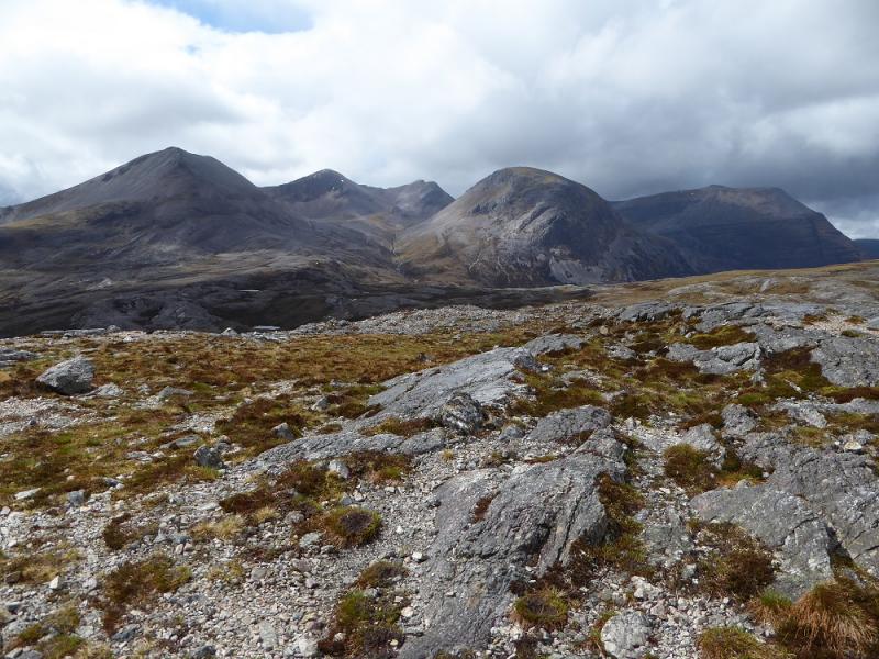
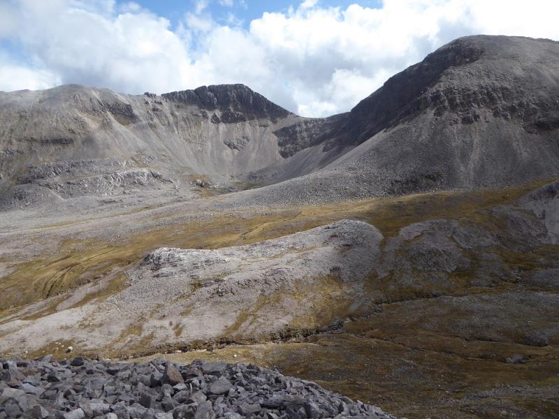
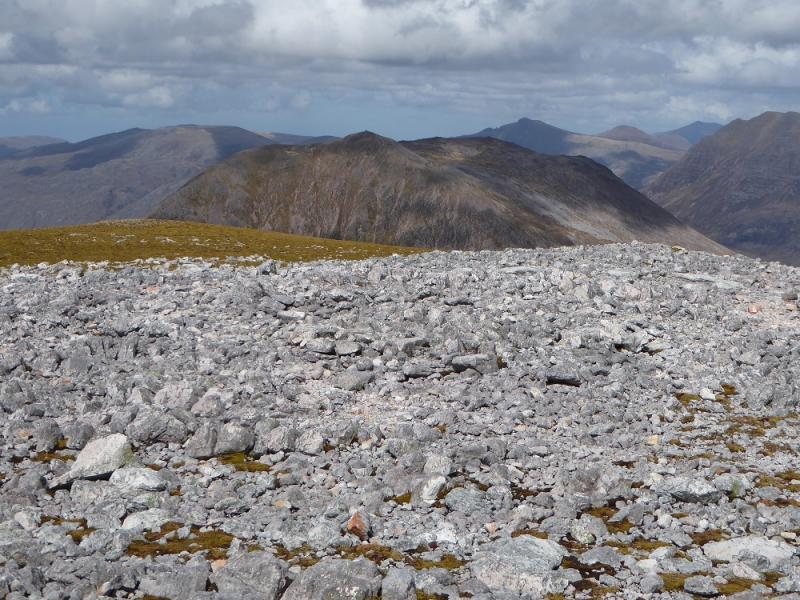
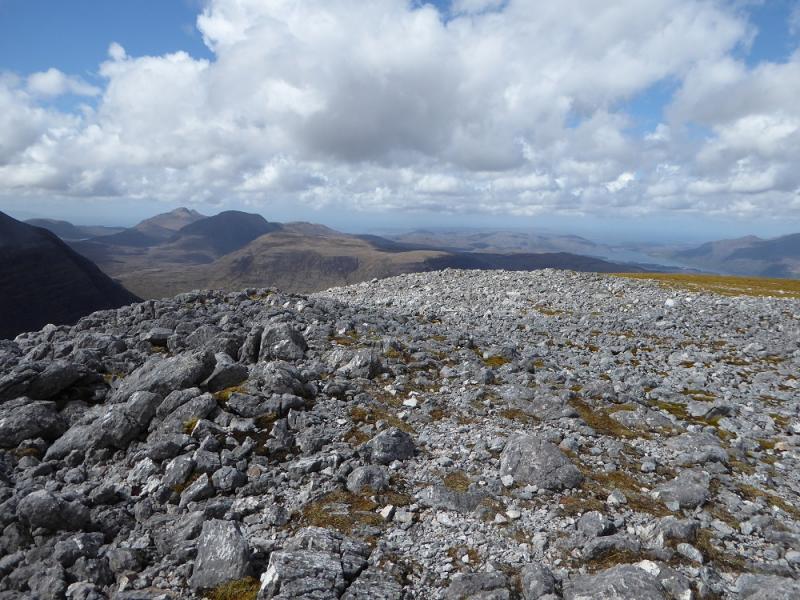
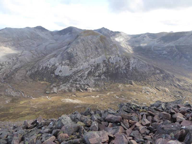
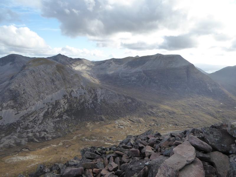
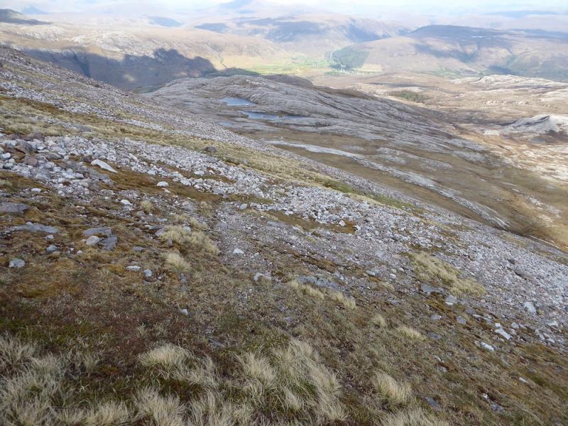
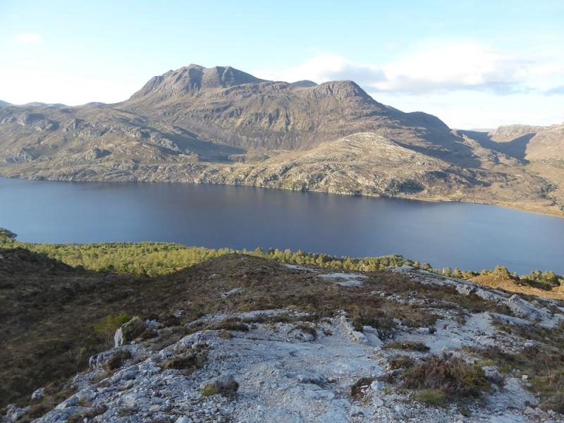
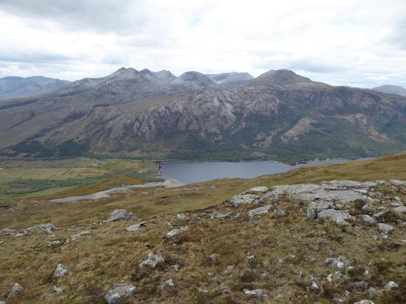
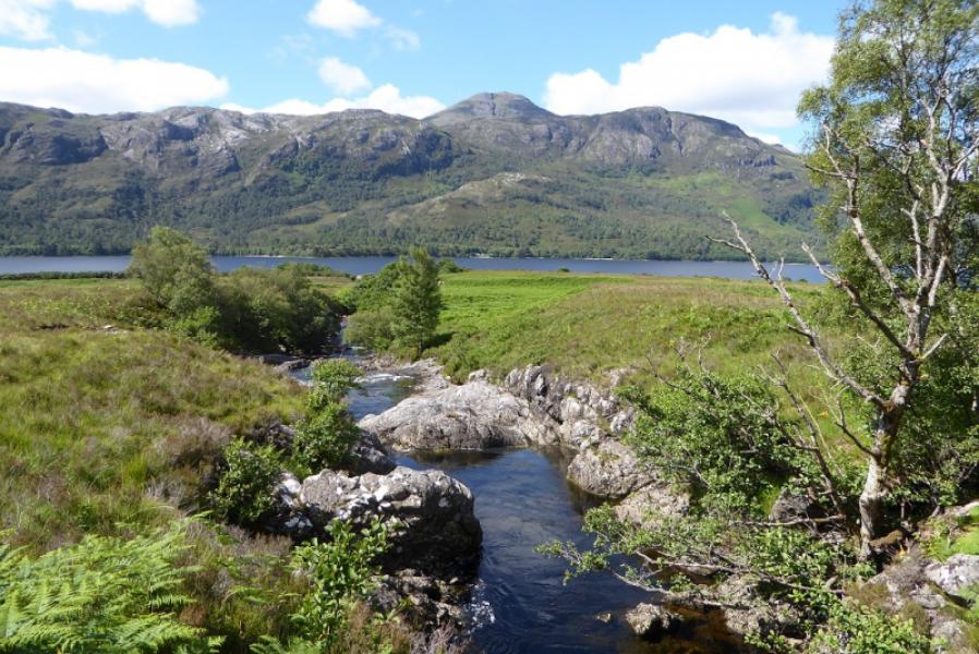
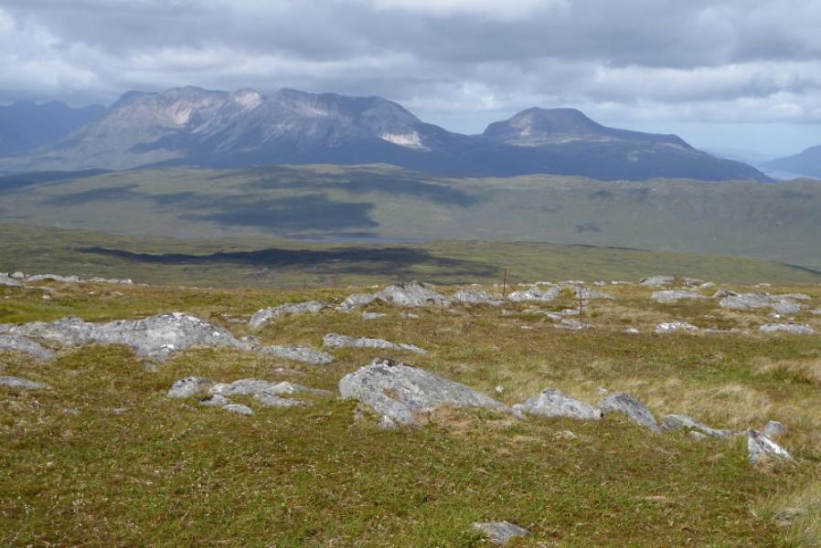
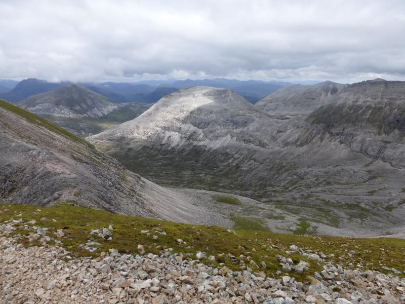
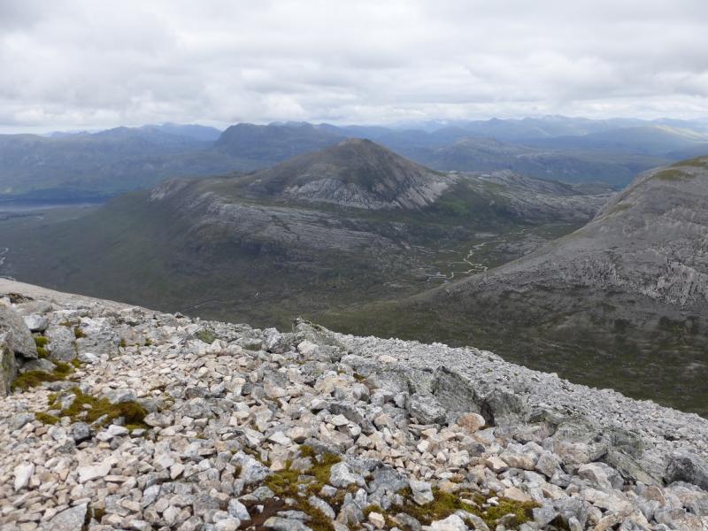
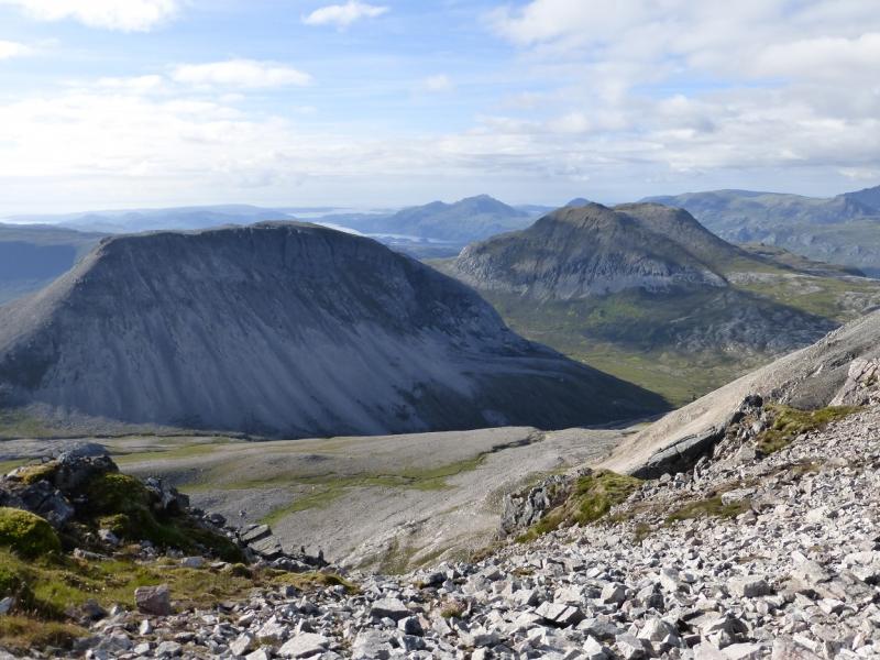
This route uses the Glas Leitir Mountain Trailwhich lives up to its name especially the first half which crosses much slabby rock (slippery when wet) before reaching its highest point – the Conservation Cairn, at about 500 m, – then descending by a more conventional path. Some height then has to be lost to access Ruadh-stac Beag which is a very rough and steep mountain with much loose quartzite scree. Some of the scree is dangerously loose and contains large rocks. There is a reasonable path at its bottom and top but no connection between them which is where most care is needed. Meall a' Ghiubhais is much more straightforward but still steep. The return is by the second half of the trail. An alternative and possibly better approach (not checked out) could be from the Beinn Eighe Visitor Centre, about a mile from Kinlochewe, using the “pony path”. This is easier than the mountain trail but slightly longer although it does take one nearer to Ruadh-stac Beag. On a clear day, there are brilliant views including the many tops of Beinn Eighe, Slioch, Beinn an Eoin, Beinn a' Chearcail, Fionn Bheinn and Beinn nan Ramh. Some guidebooks give very optimistic times for this route. For example, the SMC Corbetts book gives 6 hours which seems a massive underestimate.
Route
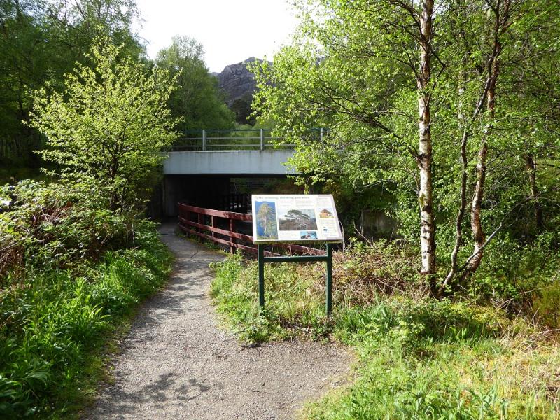
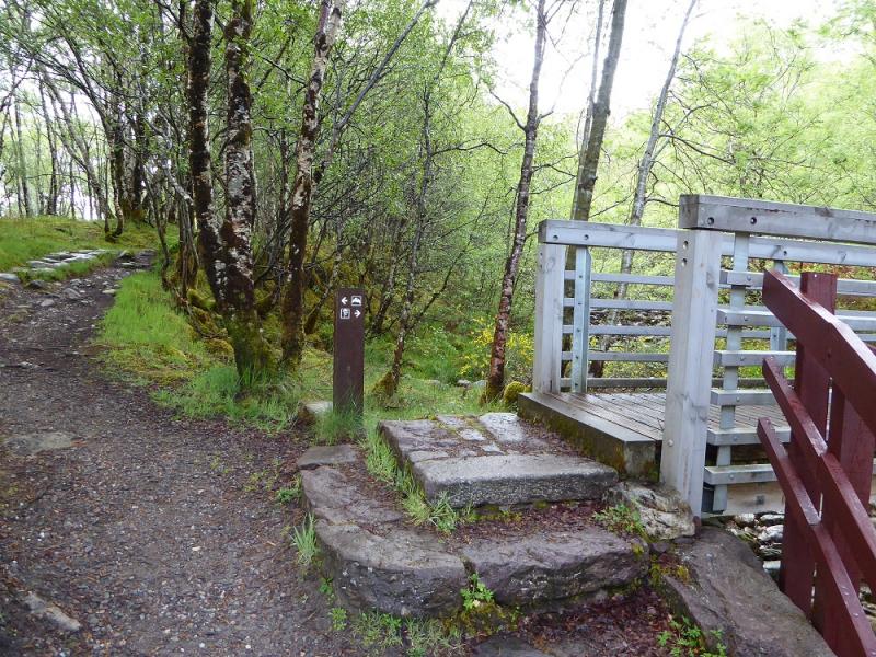
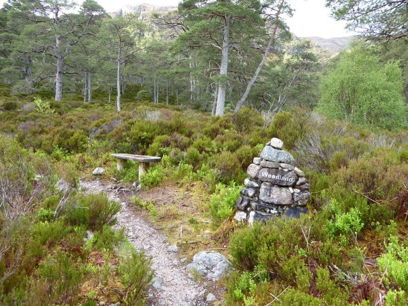
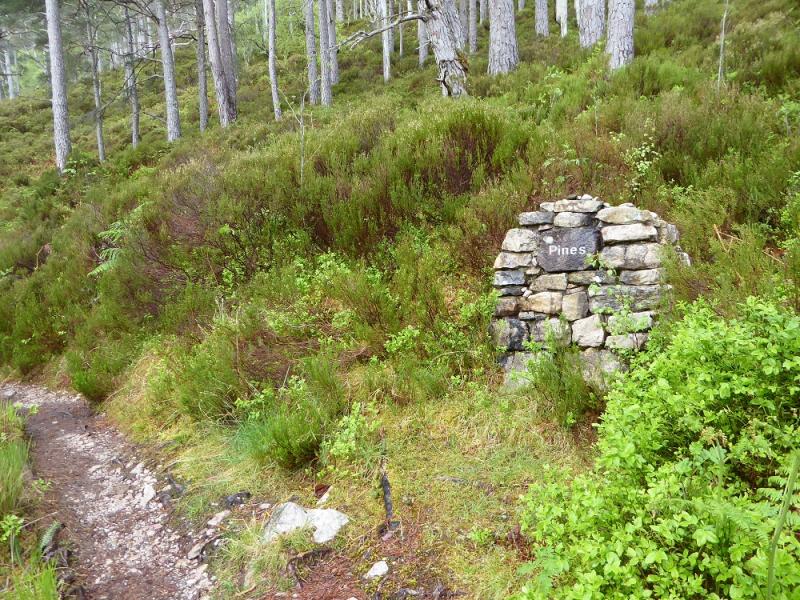
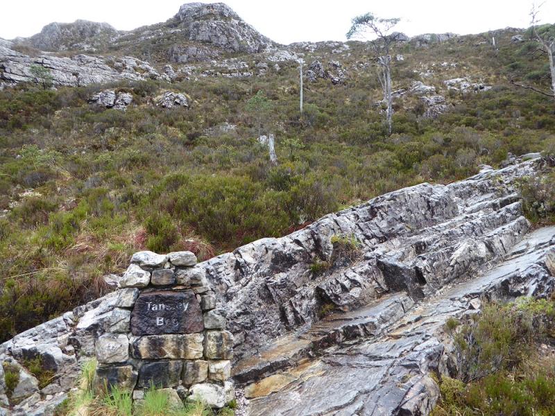
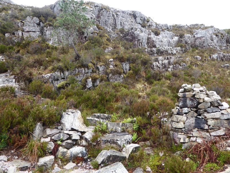
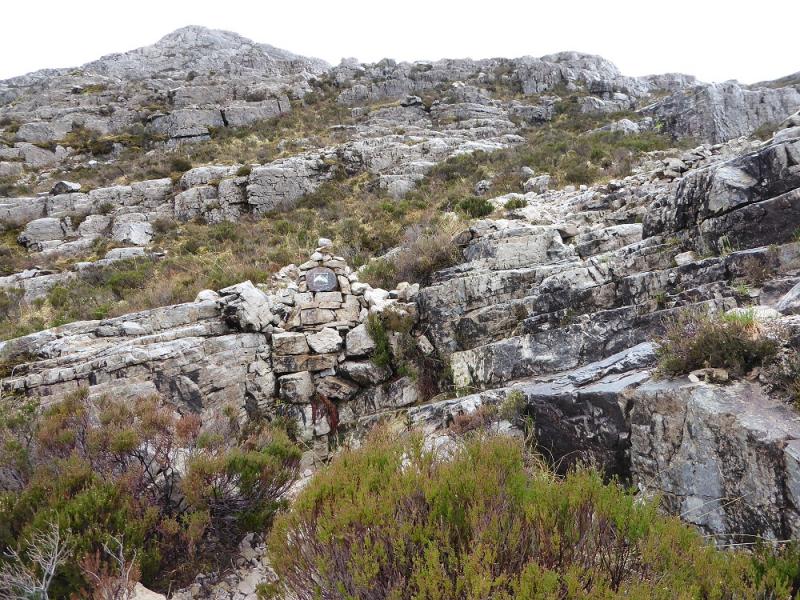
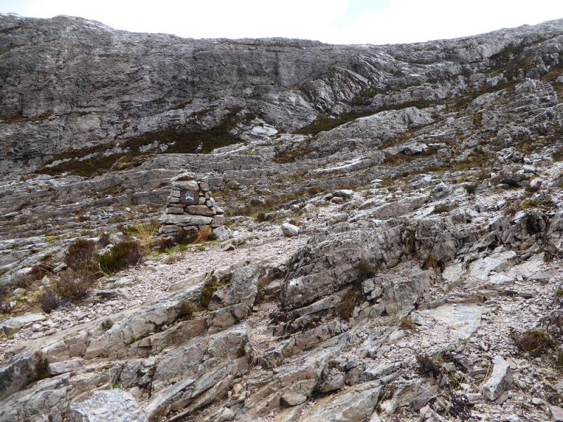
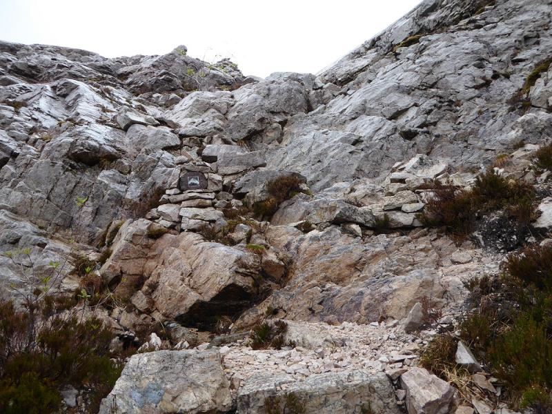
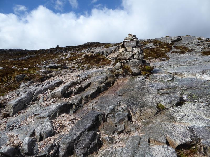
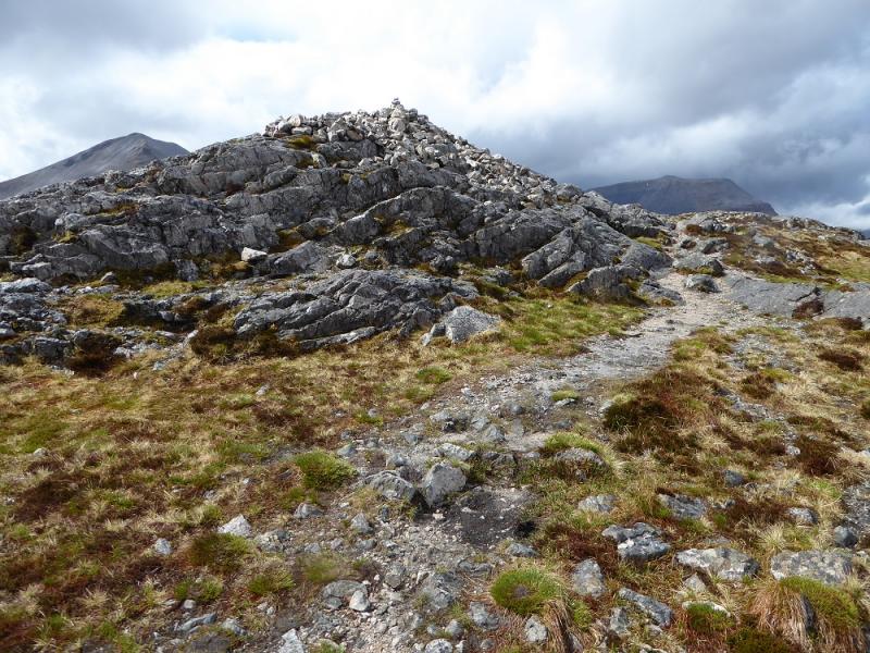
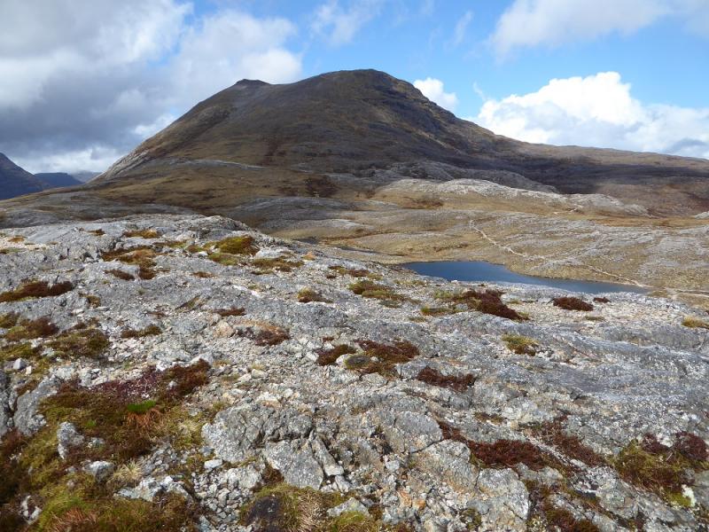
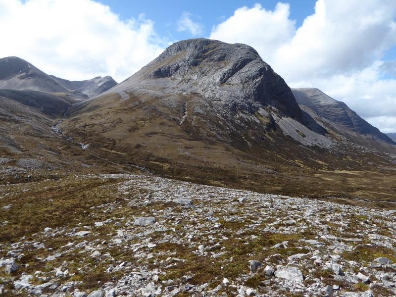
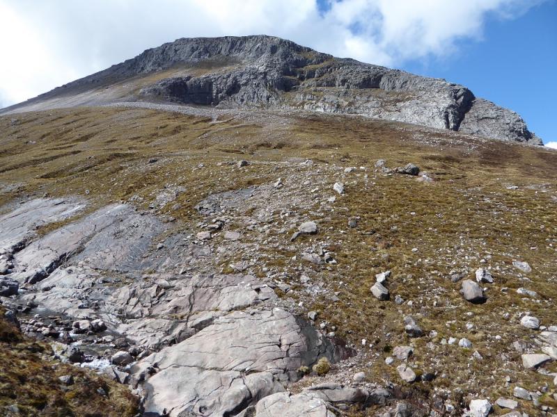
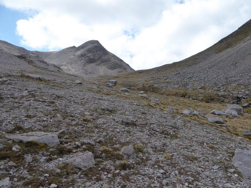
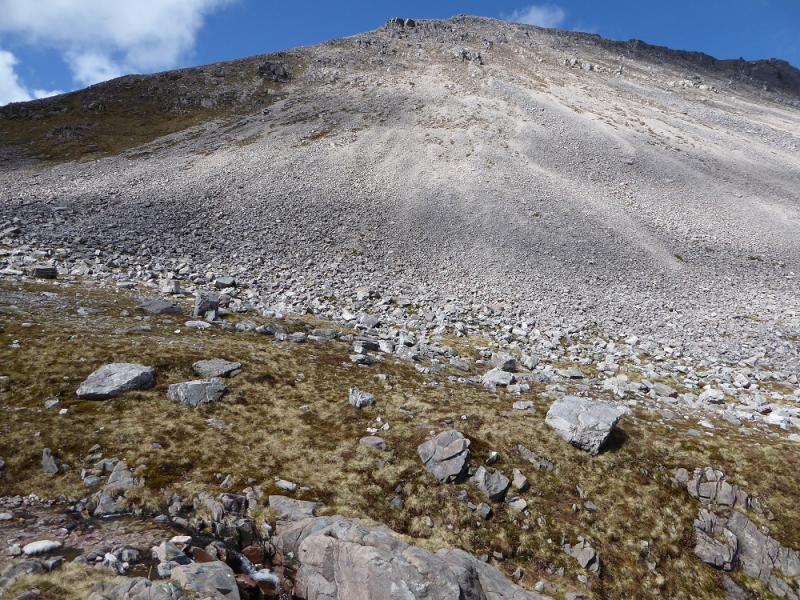
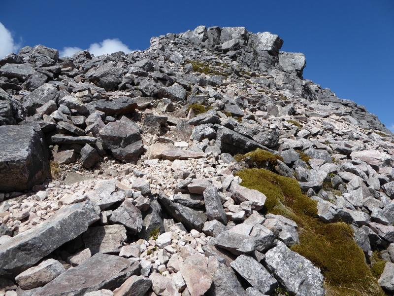
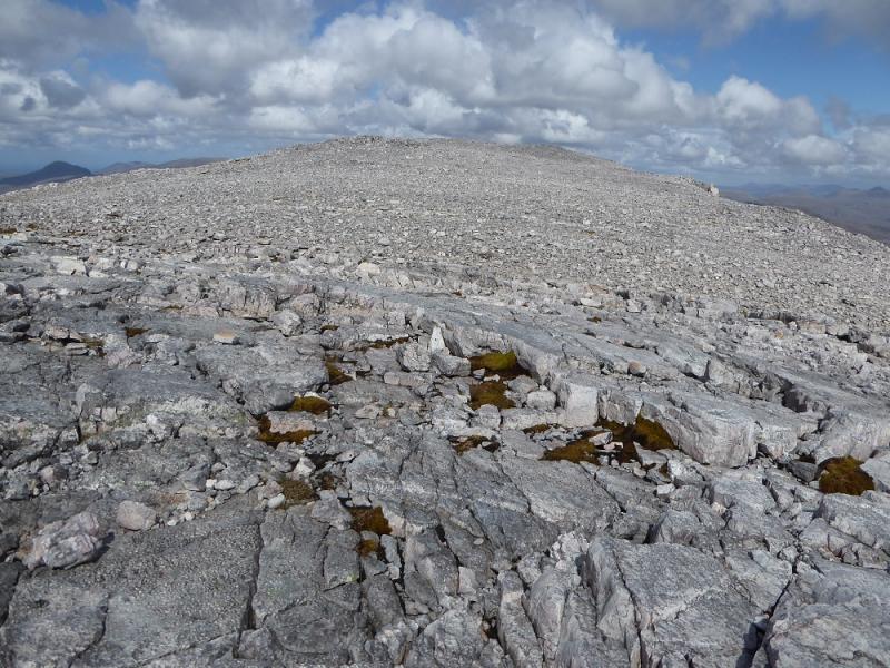
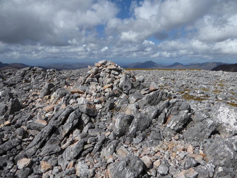
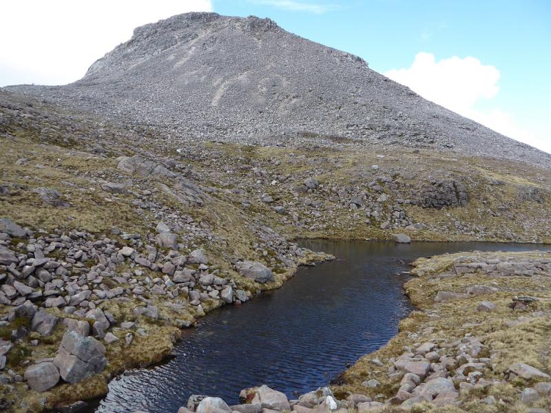
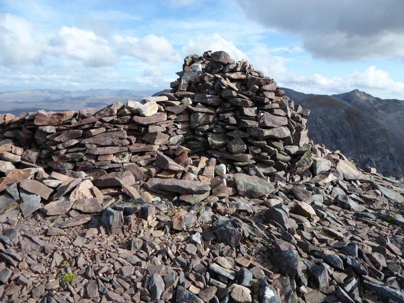
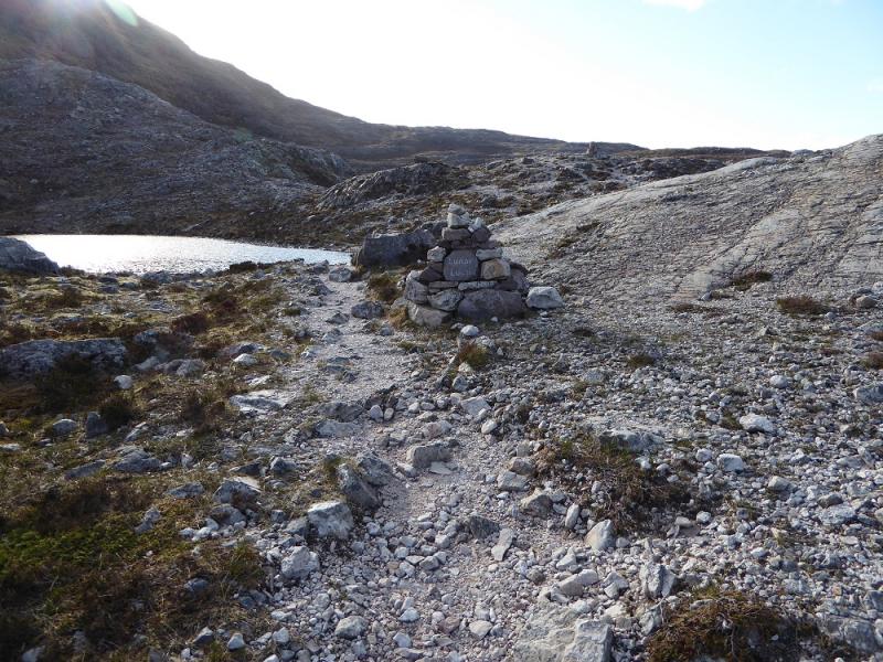
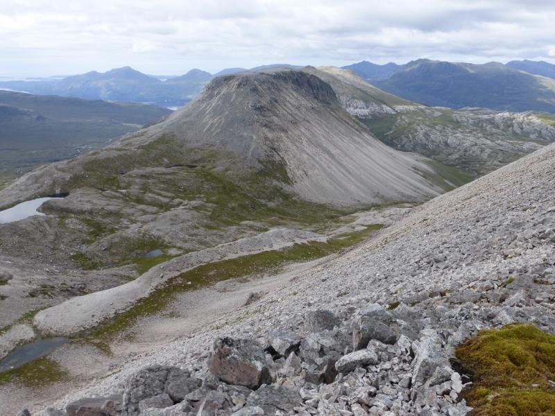
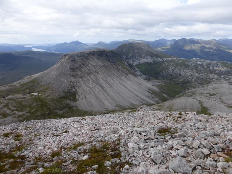
(1) From the car park, go under the road and follow the left fork (don't cross the bridge) when the trail splits. Follow the path up crossing some quite rocky sections. There is no scrambling but hands will often be used and the quartzite rock becomes very slippery when wet. There are many named cairned on the way. At the top is a large rough cairn behind which is the Conservation Cairn. Leave the trail here and descend roughly SW (no path) aiming for the Allt Toll a' Ghiubhais which comes in from the E (Glen Grudie) and then goes around then S below the E flank of Ruadh-stac Beag. The “pony path” will be crossed on the way. Follow the Allt Toll a' Ghiubhais up taking the right fork each time it splits. Once beyond the very steep east flank of Ruadh-stac Beag, it is possible to ascend easily up grassy slopes to reach a small lochan on SSW side of the hill. Above is much scree which is very unstable in places and contains some large rocks. There seem to be numerous hints of paths but many don't go far. It seems easiest to go up the ridge slightly to the right of the lochan where the scree is more stable. This ridge will have been crossed to reach the lochan. Carefully pick a way up. Crags and buttresses look ominous above but they are easily passed and one reaches the S edge of the summit plateau which is pathless and very stony. Go N for about 500 m to find a medium cairn (doesn't stand out well) which is the summit of Ruadh-stac Beag, 896 m.
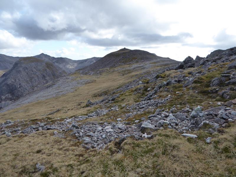
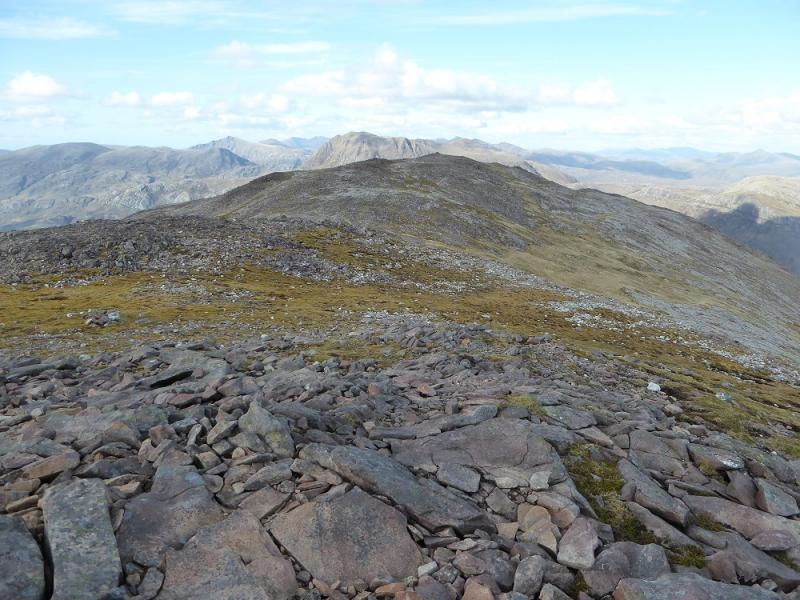
(2) Retrace to the edge of the plateau where a small cairn marks the start of what seems to be a good descent path. It is for a while but then goes into some unstable scree so be careful and look around for safer alternatives. Eventually reach the small lochan and much easier ground. Retrace down the Allt Toll a' Ghiubhais but don't descend too far. Retrace back towards the Conservation Cairn but drift left of that line towards Meall a' Ghiubhais. This is steep and pathless but much more grassy than Ruadh-stac Beag so pick a way up to reach the crest and aim for its SW end where a large cairn marks the summit of Meall a'Ghiubhais, 887 m.
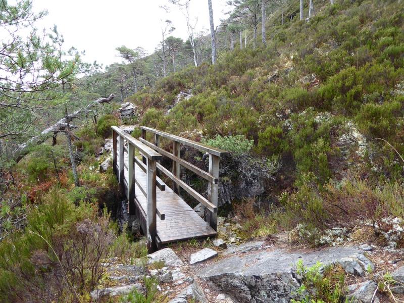
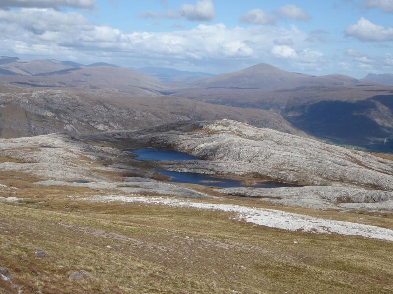
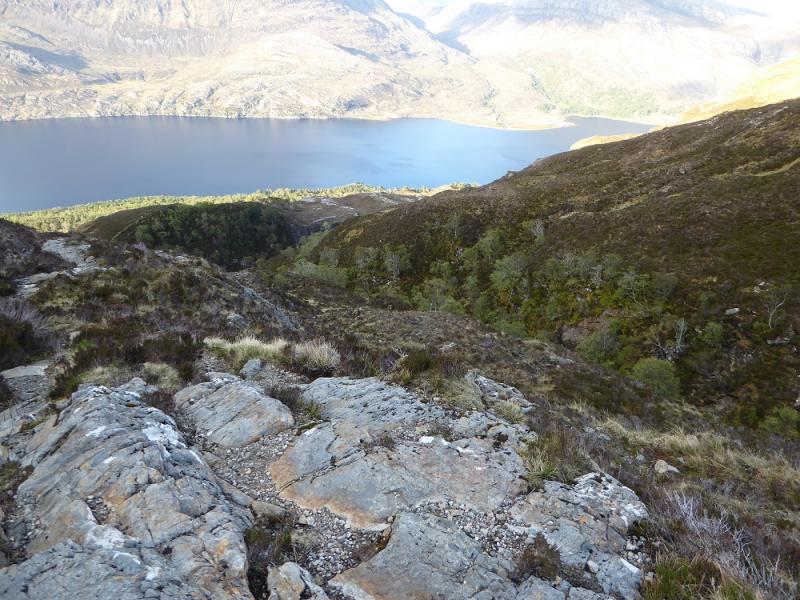
(3) Descend ESE, mainly down grass. There are two obvious lochans to aim for but one can go left just before them to rejoin the mountain trail which is more of a path then the earlier section. Follow the path down. It has quite a few steps which may be hard on the knees but there are good views across Loch Maree to Slioch and Beinn Mhuinidh with even A' Mhaighdean being clearly seen. The trail has a fenced off side above a steep gorge. Much lower down, the trail splits with signs suggesting you go left. Go right instead and follow the path down to the car park.
Notes
(a) This walk took place on 14thMay, 2017, and about 15 years earlier.
(b) The SYHA at Torridon is very well placed and a lovely place to stay. It is a modern purpose built building which is very well managed. It's only fault is that it is extremely popular so, if planning to stay there, book well in advance!
Photos - Hover over photo for caption. Click on to enlarge. Click on again to reduce.

 & Sail Mhor from Beinn a' Chearcaill.JPG)