Get Lost Mountaineering
You are here: Scotland » 13 Applecross, Coulin and Torridon » Loch Torridon to Loch Maree
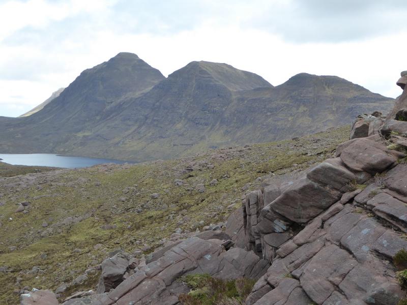
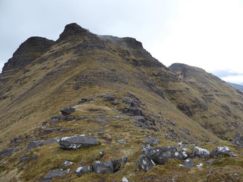
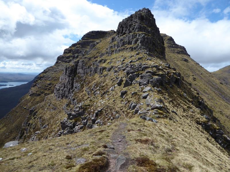
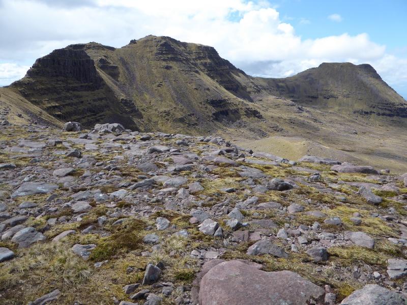
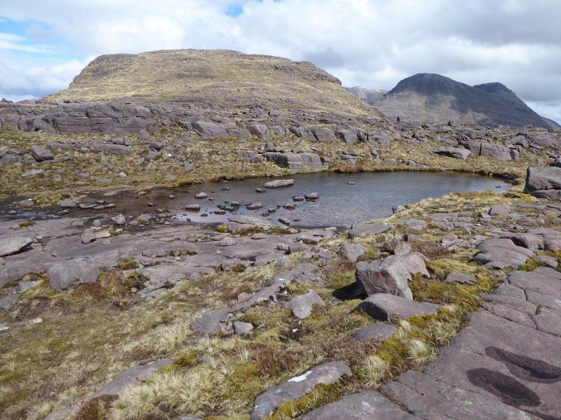
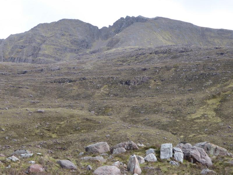
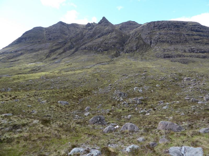
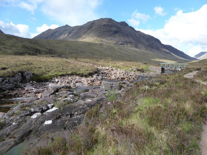
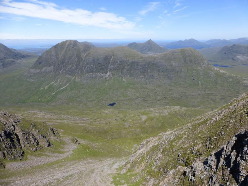
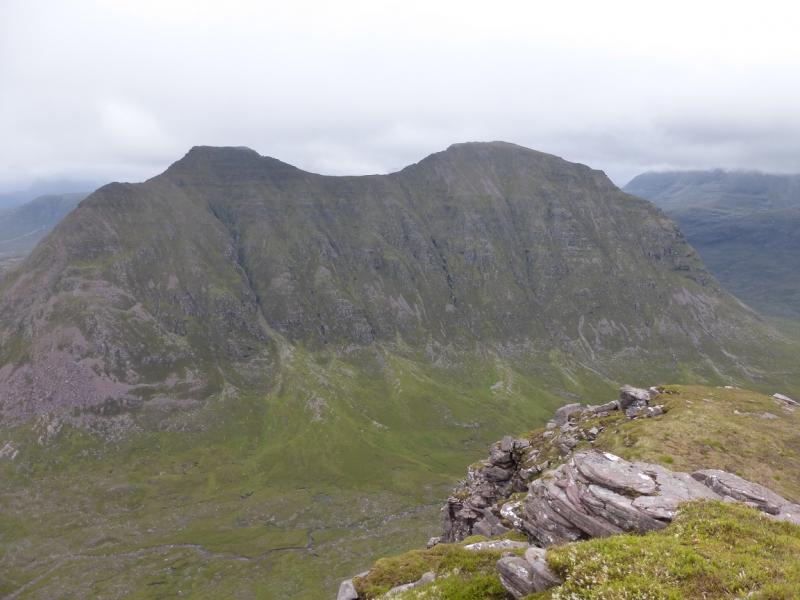
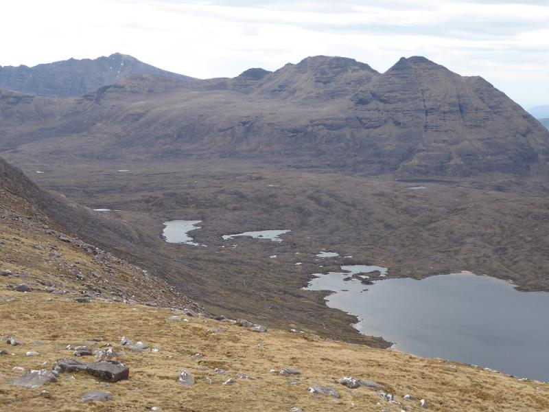
Beinn Dearg from SW end of Coire Mhic Nobuil path
Beinn Dearg from SW end of Coire Mhic Nobuil path
Start/Finish
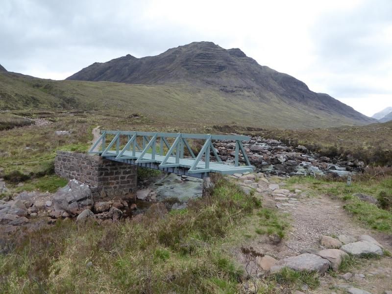
Car park on the W side of the bridge over the Abhainn Coire Mhic Nobuil on the road from Torridon village to Inveralligin.
Distance/Time
16 km. About 9 – 10 hours.
Peaks
Beinn Dearg, 914 m, NG 895 608. OS sheets 19, 24 & 25. (All needed)
Introduction
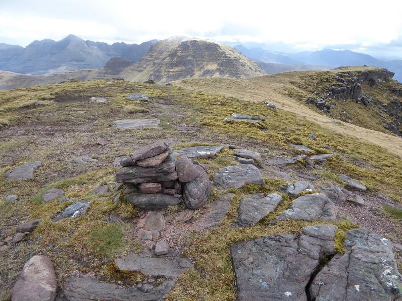
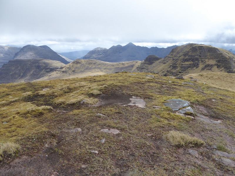
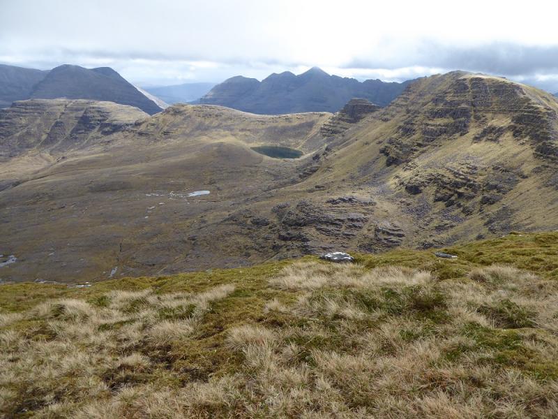
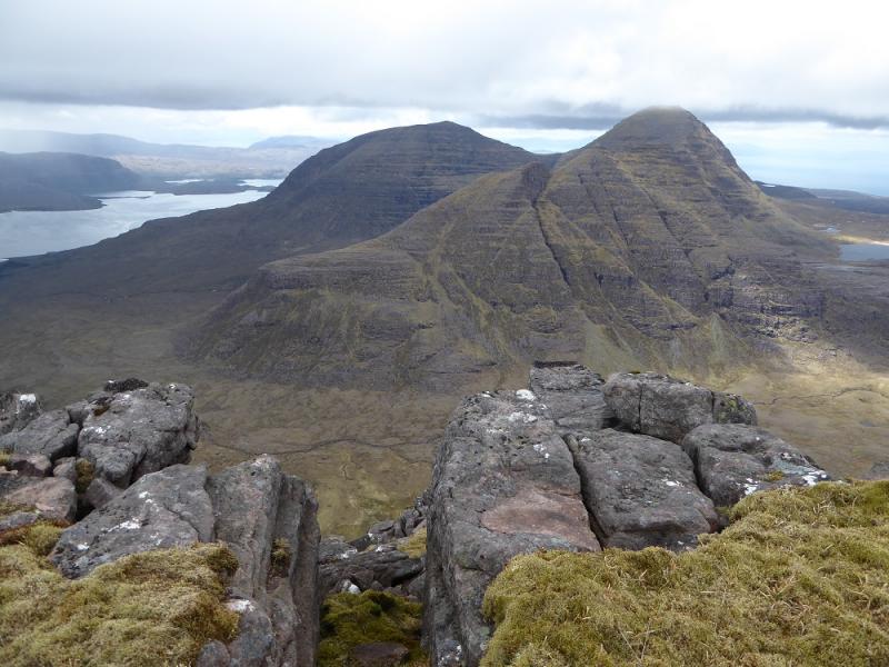
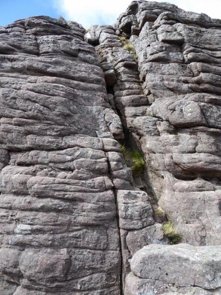
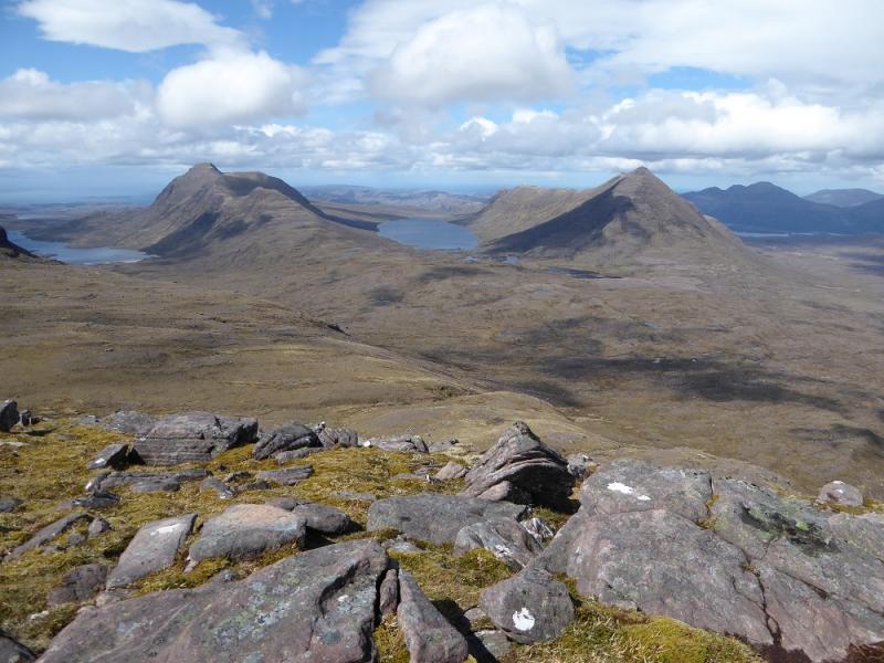
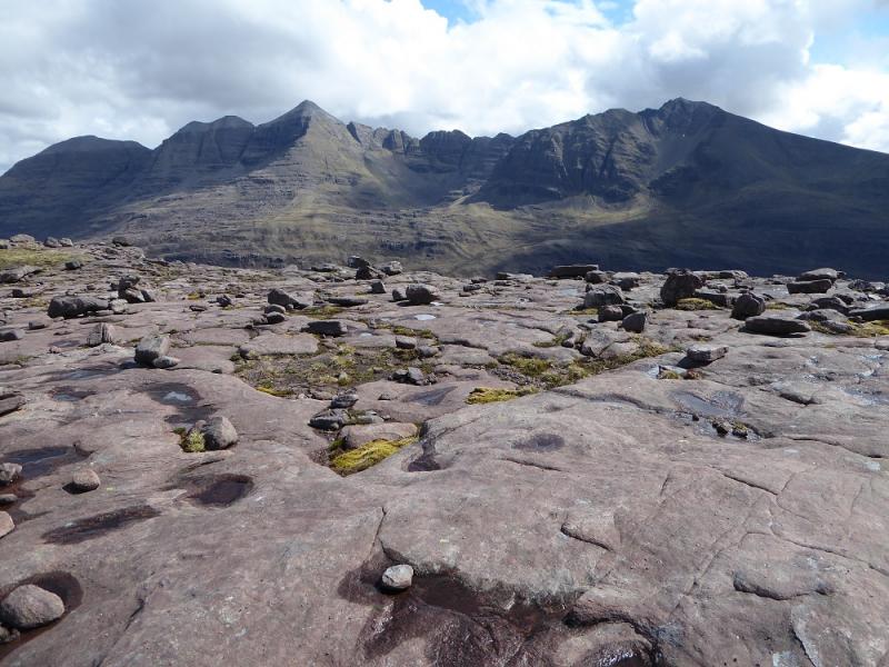
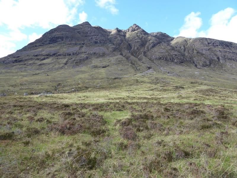
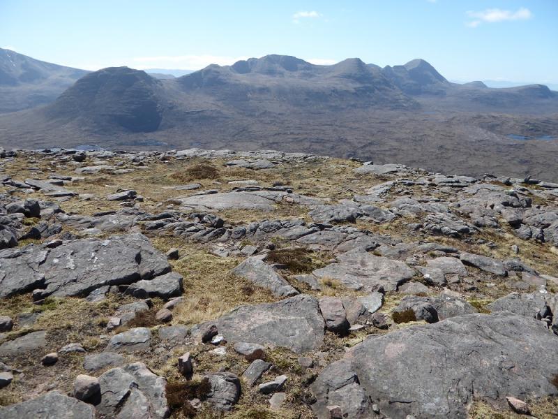
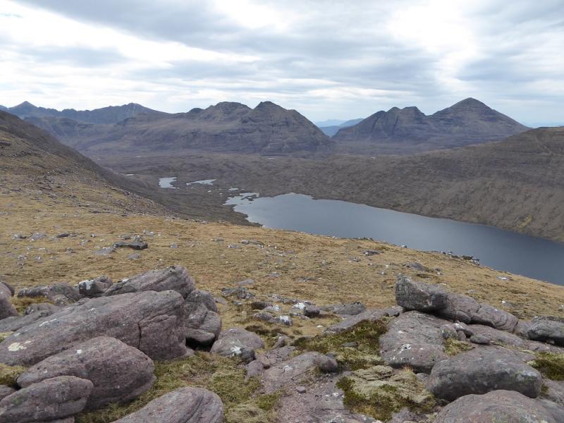
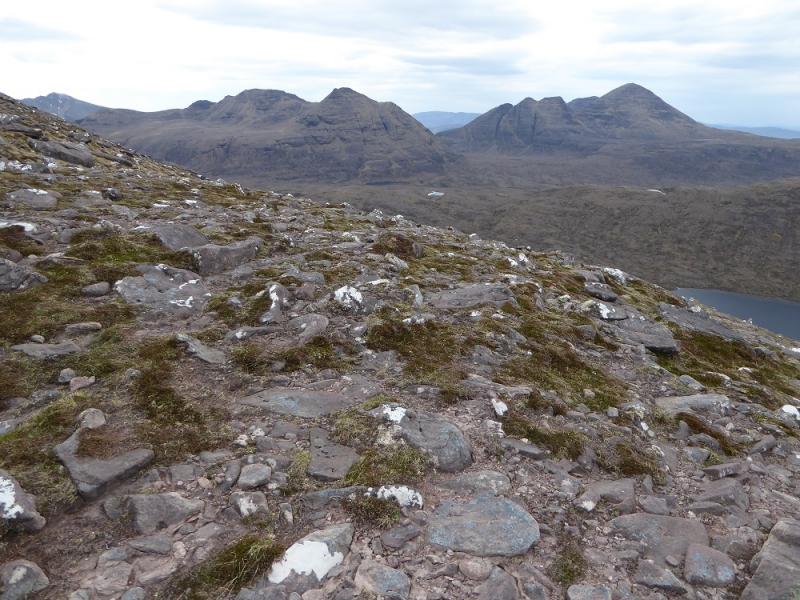
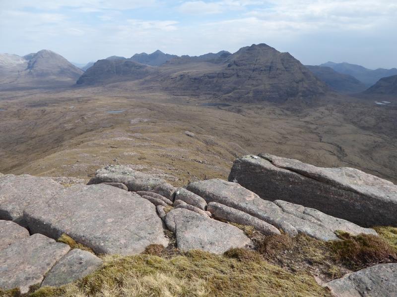
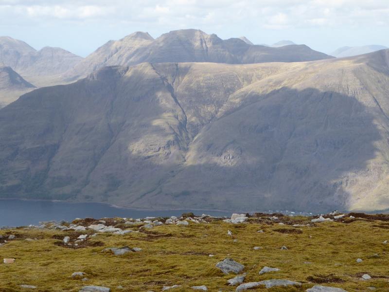
Many people do not climb Beinn Dearg as it is not a Munro but it is one of the finest mountains in Torridon. It has been resurveyed many times over the years in the hope that it might be given Munro status but, each time, it falls agonisingly short. As well as being a very fine mountain, it is a superb viewpoint for Beinn Alligin, Liathach, Beinn Eighe, Baosbheinn, Beinn an Eoin and Beinn a' Chearcaill plus many more. The only drawback is that three maps are needed but don't let that put you. It is probably worth having a custom made map produced by the OS which allows you to specify wher ethe centre of the map should be. They have been offering this service for years and it is more expensive than a normal map but well worth it in the Torridon area. This route is a full traverse of the crest which includes climbing down an unavoidable rock tower in three steps. An alternative easier route up and down will be given in the notes. There are many gullies on Beinn Dearg – none are recommended as descent routes as they steepen lower down with some ending very abruptly!
Route
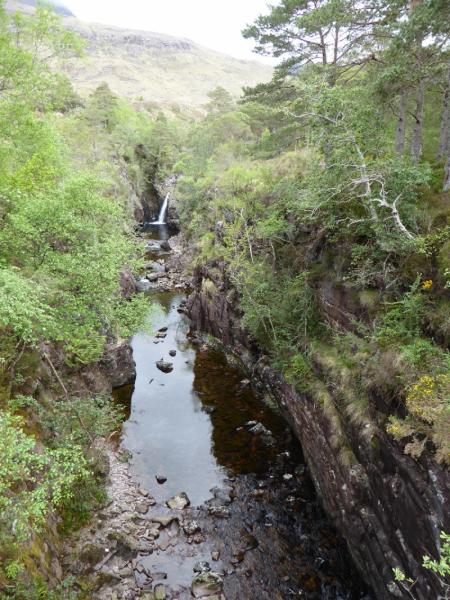
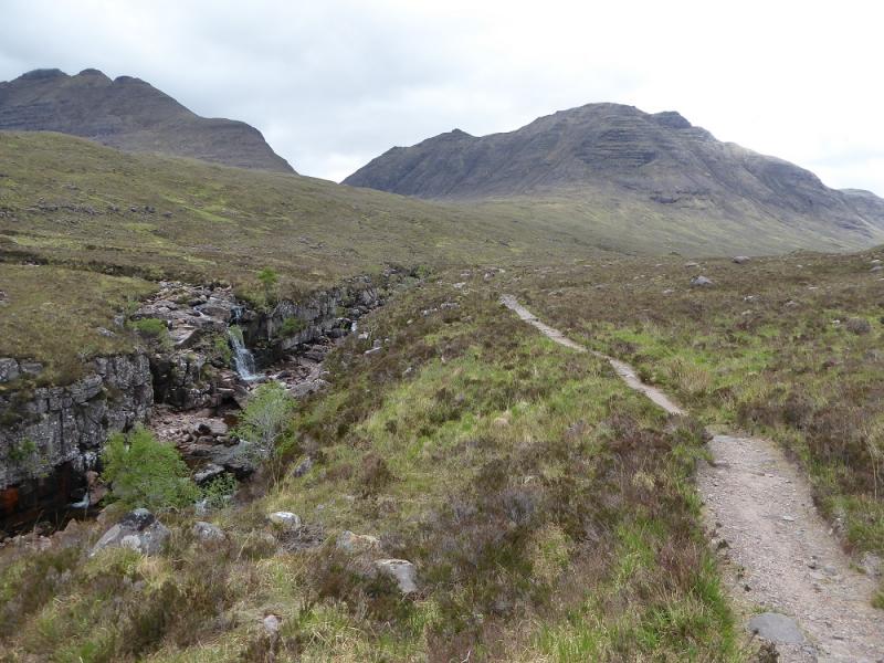
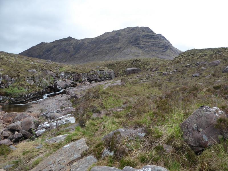
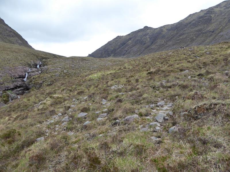
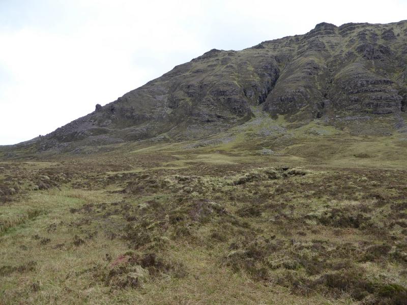
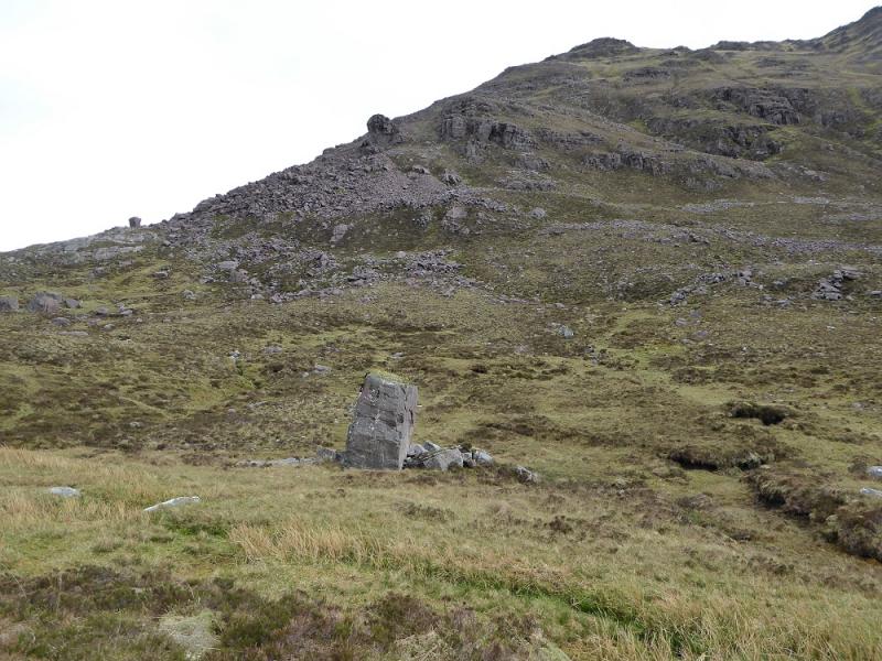
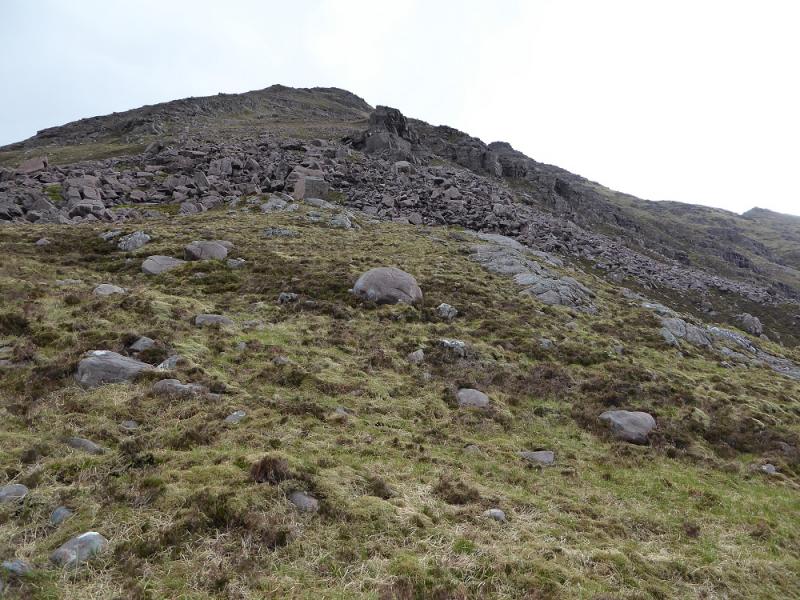
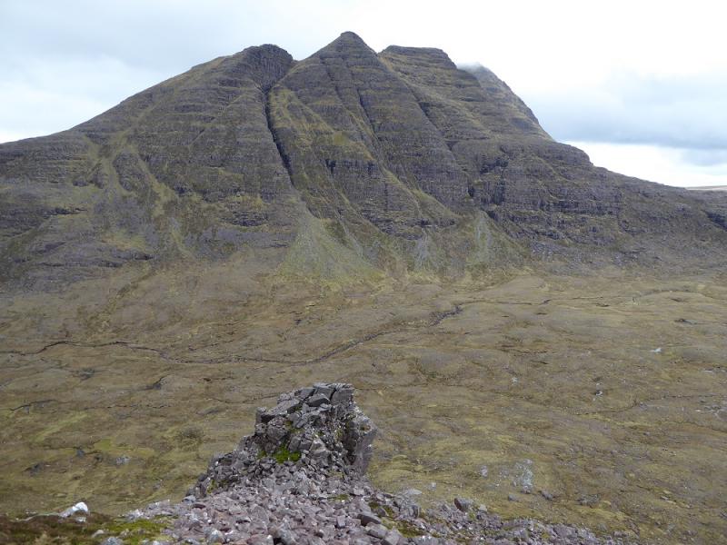
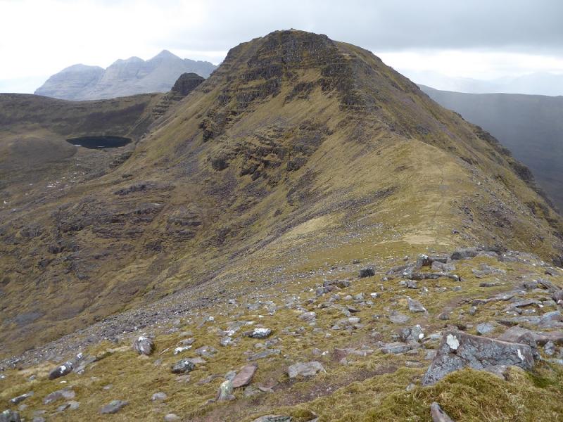
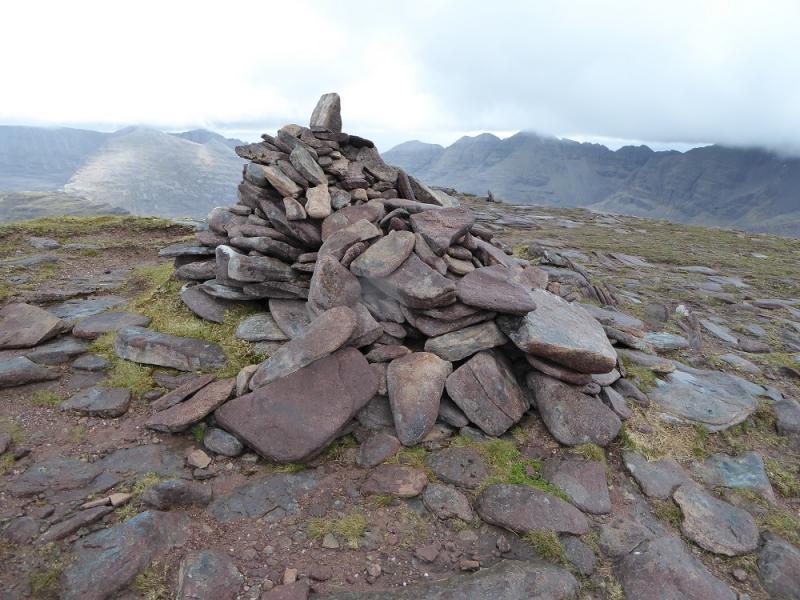
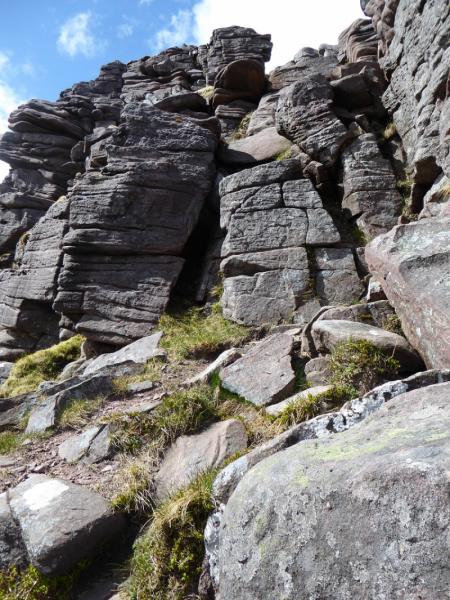
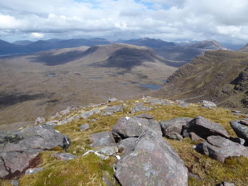
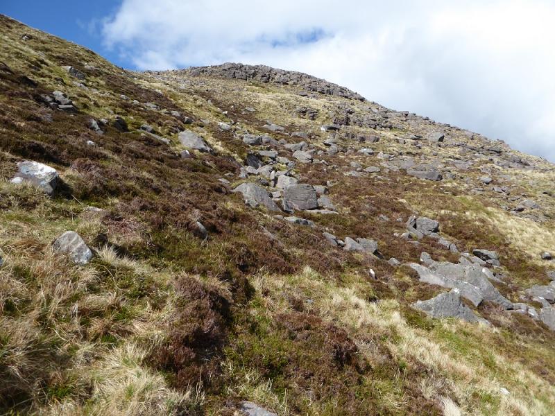
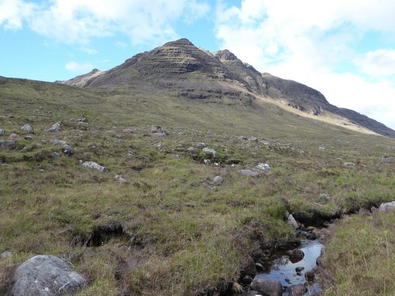
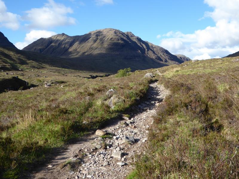
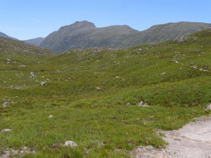
(1) Take the signed path for Coire Mhic Nobuill which keeps the river on your left. Follow this for about 2 km then cross the river by a bridge. The path now splits, take the left branch going N which heads for the foot of the Horns of Alligin. Follow this to another bridge. Cross over then follow the stream towards the Bealach a' Chomhla which lies below the Horns on their E side. This is about 2.5 km from the second bridge. As one gets closer to the bealach, the W ridge of Beinn Dearg becomes very obvious with its obvious tower. The direct line up the ridge goes through a steep boulder field but there are less rocky lines further round to the N. Once past the boulder field, there is steep grass with a hint of a path. It is best to weave around to avoid the steepest ground. Higher up, the path becomes more obvious and guides one easily around any small buttresses to reach a small cairn on the flat grassy top of Stuc Loch na Cabaig which is not that much lower than the summit. Follow the crest S, making a steep descent to a col. The path goes through rocks but there is easier ground to the left if needed. From the col, the pathleads up to the flat grassy summit where a large cairn marks the summit of Beinn Dearg, 914 m.
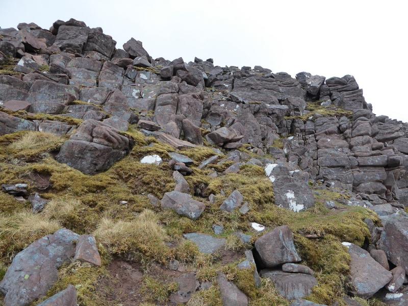
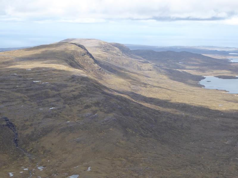
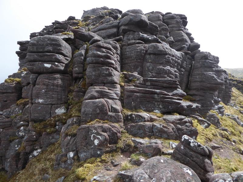
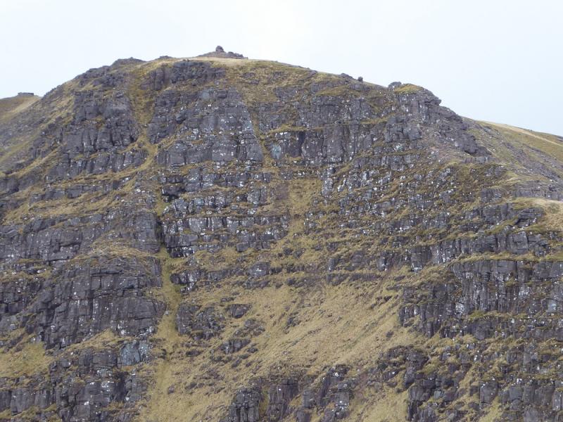
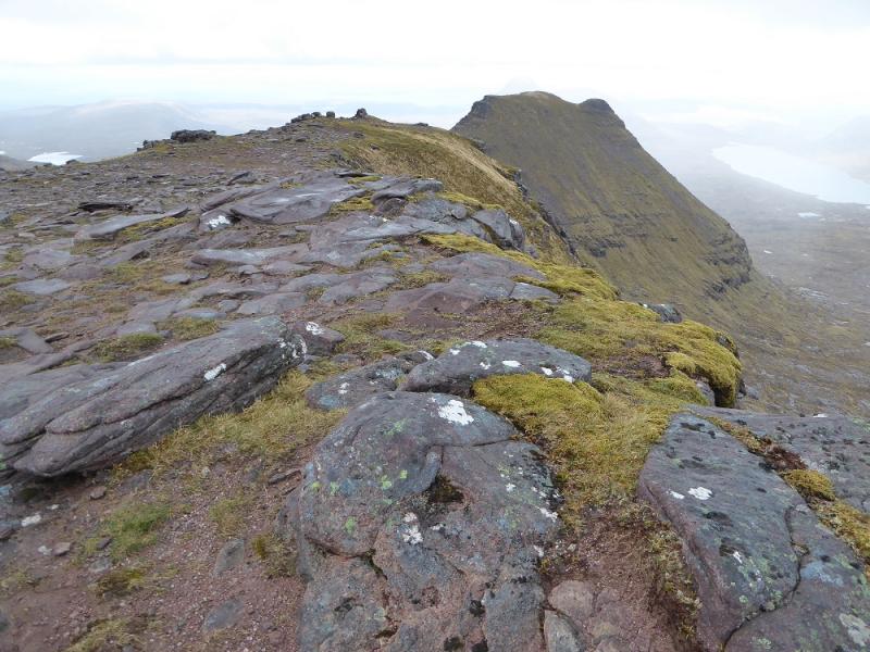
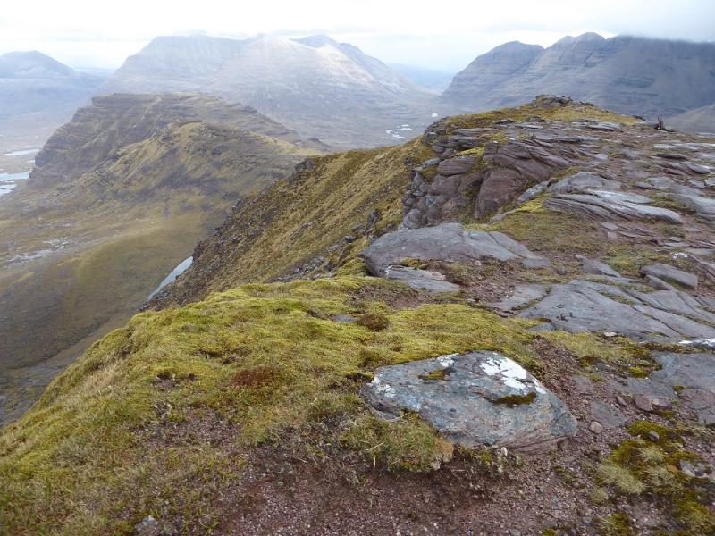
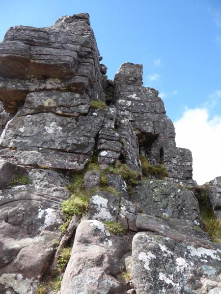
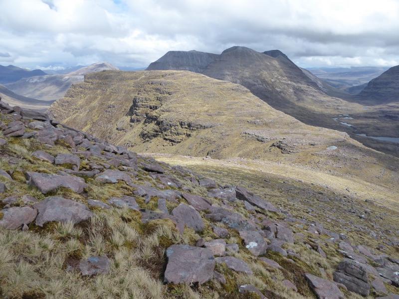
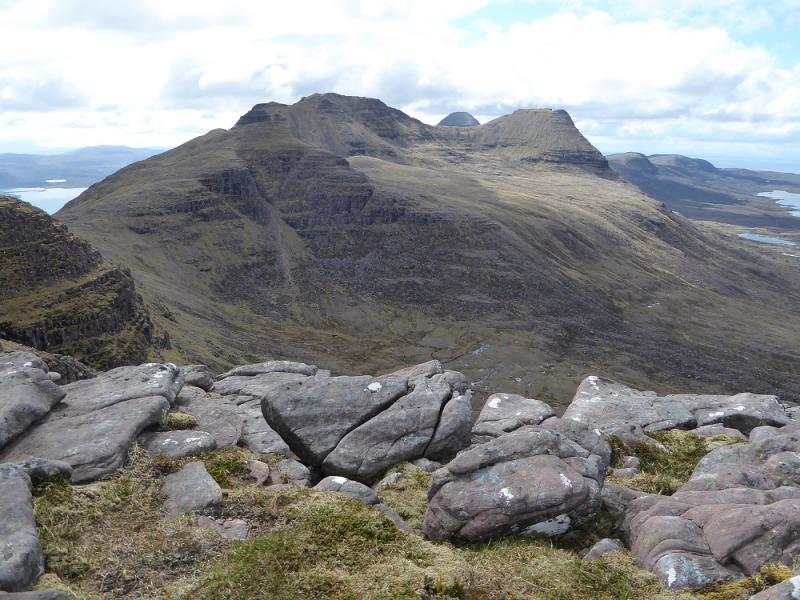
(2) Continue, now going E, along the crest with the path avoiding any difficulties. Don't be fooled into thinking that the gullies have paths leading down them as they don't! Another col is crossed and the path goes to the right of the crest before rejoining at the top of a rock tower. This is descended in 3 sections and needs some scambling experience. There is no obvious path around the tower and one would have to traverse on steep and exposed grass which some may feel is even more intimidating. Continue more easily along the crest to a minor top then down to a broad col below Carn na Feola. It is worth continuing up so you can say you have traversed the whole ridge so ascend the 120 m or so up easy slopes to reach a flattish area. Pass between two very slight rocky bumps then head N to reach the medium cairn which is the summit of Carn na Feola. This is as close as you get to Beinn Eighe.
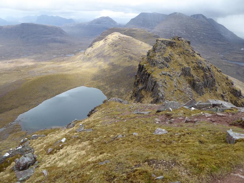
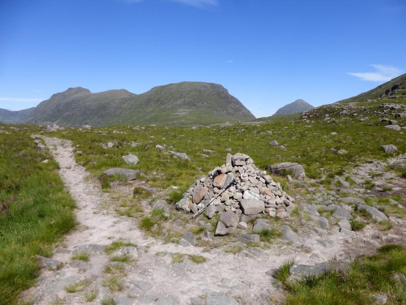
(3) Head S from the summit, passing between the two rocky bumps again then start descending down the steep hillside on a very shallow but very broad groove. Almost all of the descent is on good grass with no rock or crags to avoid. There is some thin heather near the bottom but it is, generally, very good going indeed. Eventually reach the main path in Coire Mhic Nobuill and follow it W back to the start. It seems to go over quite a few minor hillocks but soon starts descending alongside the river.
Notes
(a) This walk took place on 18th May, 2017, and about 15 years earlier.
(b) For those wishing to avoid scrambling, boulder fields and exposure, an alternative route which just includes the summit would be to walk in to Bealach a' Chomhla then go around the spur of Stuc na Cabhaig to reach the corrie facing NE. Aim for the col between Stuc na Cabhaig and the summit which is moderately steep but fairly straightforward. From the col, walk up the crest path to the summit then return by the same route.
(c) The SYHA at Torridon is very well placed and a lovely place to stay. It is a modern purpose built building which is very well managed. It's only fault is that it is extremely popular so, if planning to stay there, book well in advance!
Photos - Hover over photo for caption. Click on to enlarge. Click on again to reduce.
.JPG)