Get Lost Mountaineering
You are here: Scotland » 13 Applecross, Coulin and Torridon » Achnasheen to Applecross
Sgorr nan Lochan Uaine & Sgurr Dubh from Coire Dubh car park in Glen Torridon
Sgorr nan Lochan Uaine & Sgurr Dubh
from Coire Dubh car park in Glen Torridon
Start/Finish
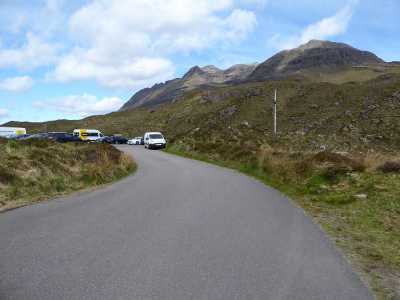
Car park in Glen Torridon at about NG 957 568. This is about 6 miles from Kinlochewe on the A896 road to Shieldaig. It is a fair sized car park but can quickly fill up on busy days. It is the main access car park for Ruadh-stac Mor on Beinn Eighe but is also used for Liathach by those wanting to get around to its north side.
Distance/Time
14 km. About 7 – 8 hours.
Peaks
Sgorr nan Lochan Uaine, 871 m, NG 969 531.
Sgurr Dubh, 782 m, NG 979 558. OS sheet 25: Glen Carron
Introduction
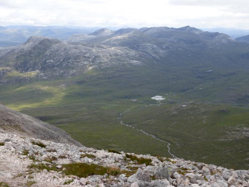
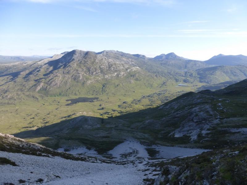
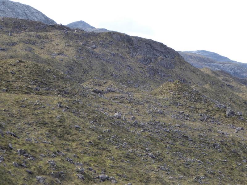
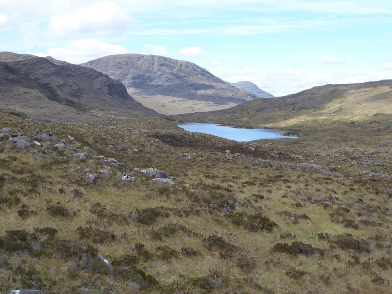
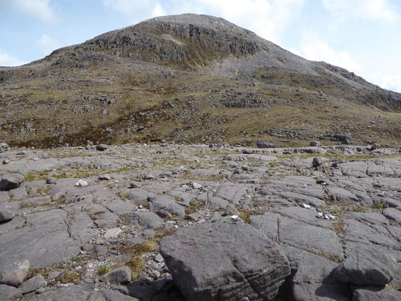
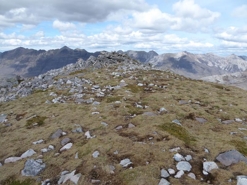
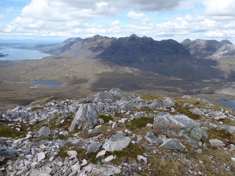
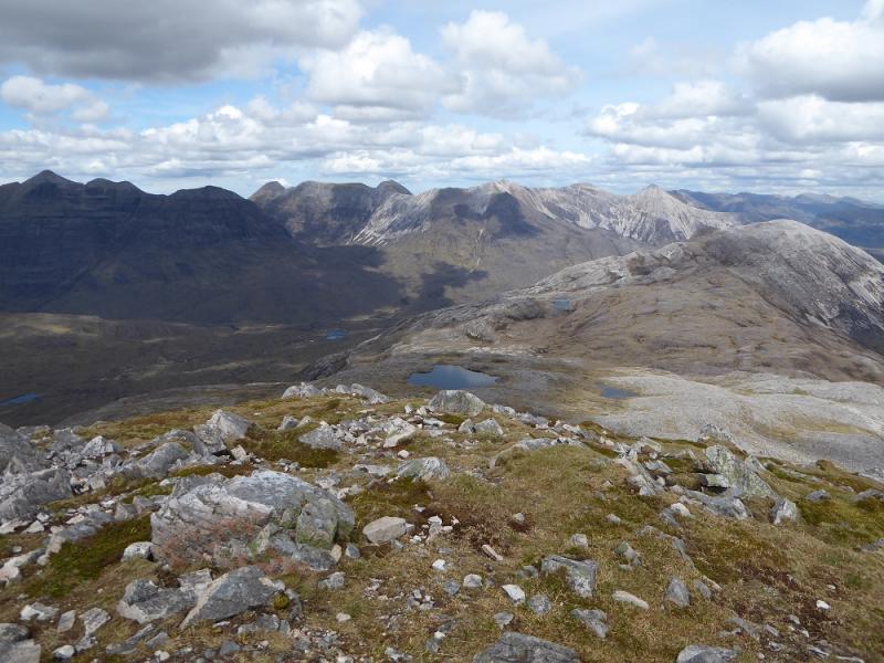
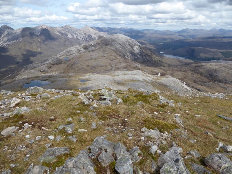
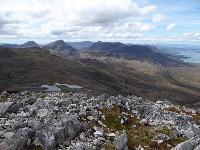
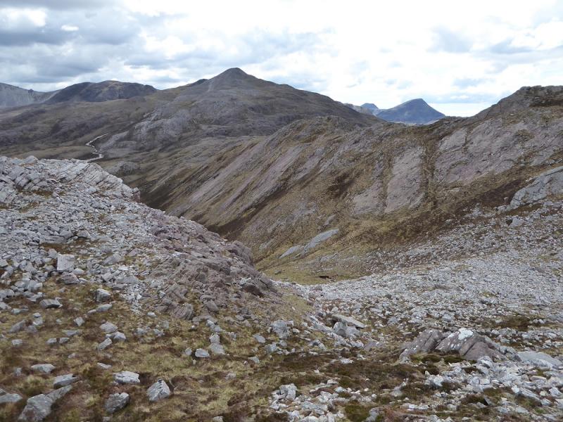
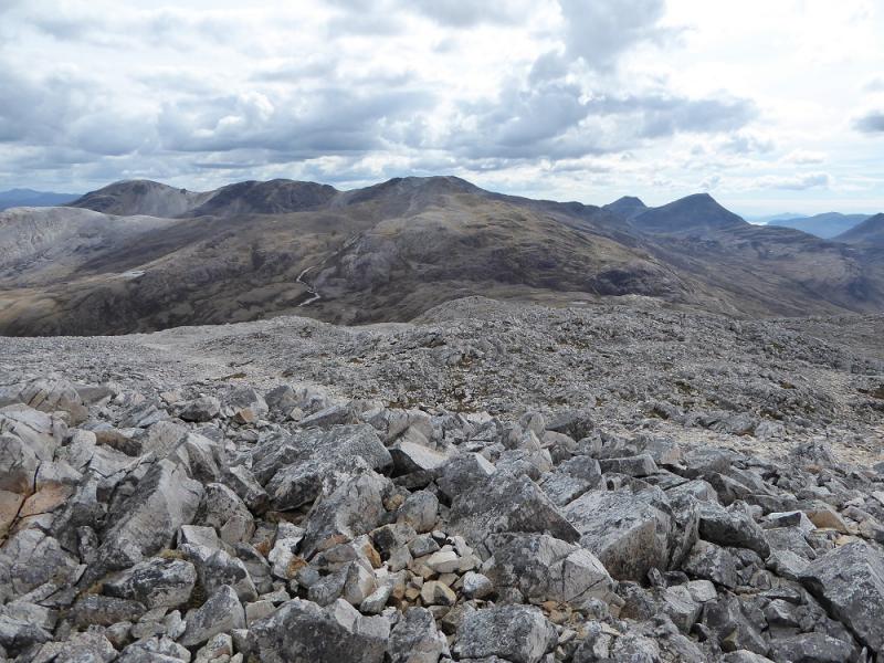
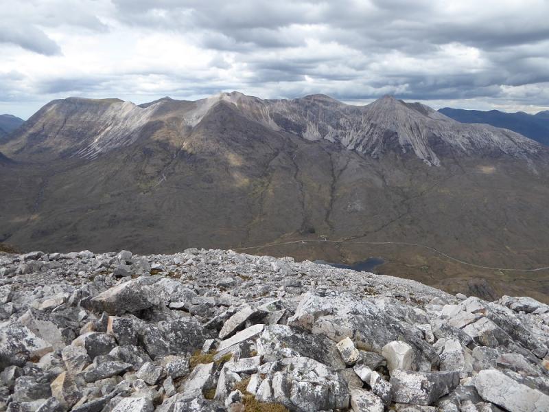
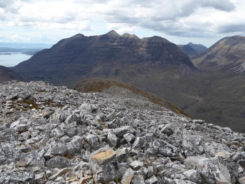
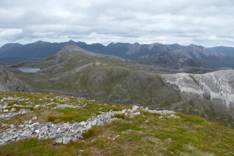
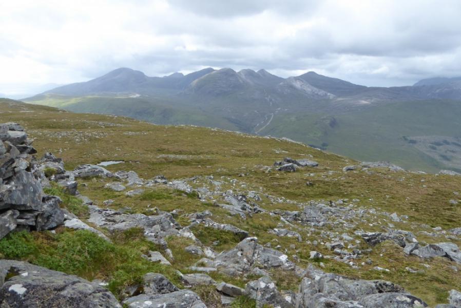
Unless you have to do it, this is a walk to avoid especially the Sgurr Dubh part which is like walking on a pile of quartzite rubble! The terrain between the two Corbetts is also quite complex, again, especially on Sgurr Dubh which makes the route difficult to describe accurately. Even in clear weather, route finding can be tricky if one wishes to avoid unnecessary gain and loss of height, again, especially on Sgurr Dubh. The fairly direct descent off Sgurr Dubh is steep, loose and rocky so some alternatives are suggested. The guide books struggle to describe this route with the SMC one being particularly disappointing. One of the best descriptions seems to be in Brian Johnson's book “Walking the Corbetts: Volume 2: North of the Great Glen” (Cicerone). He has clearly gone to some trouble to be as helpful as possible to his readers which does not seem as apparent with other guides. His book, although heavy, will conveniently fit inside a rucksack and could be used on the hill. It is hard to find a fault with this particular guide book. Given all the negatives, these hills offer fine views to Beinn Liath Mhor. Beinn Damh, Beinn na h-Eaglaise, Liathach and Beinn Eighe. The latter presents all its peaks in one view which is not seen from elsewhere.
Route
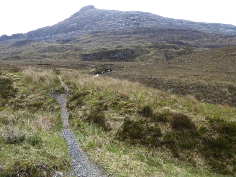
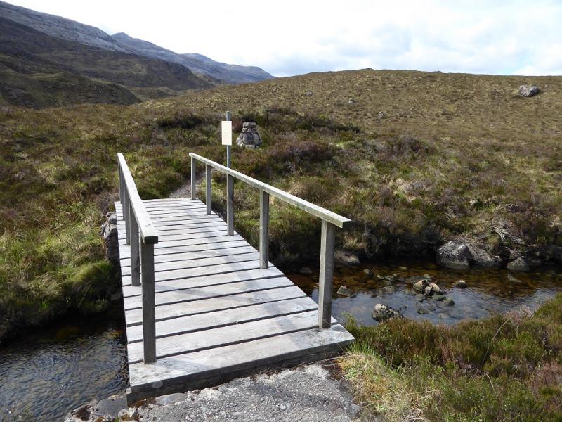
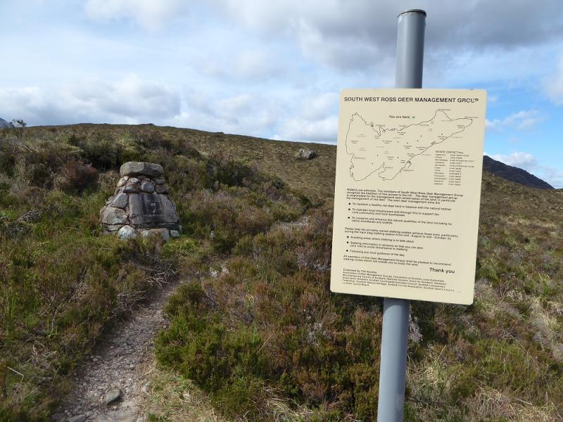
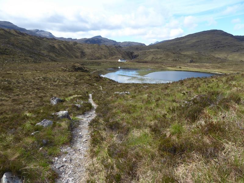
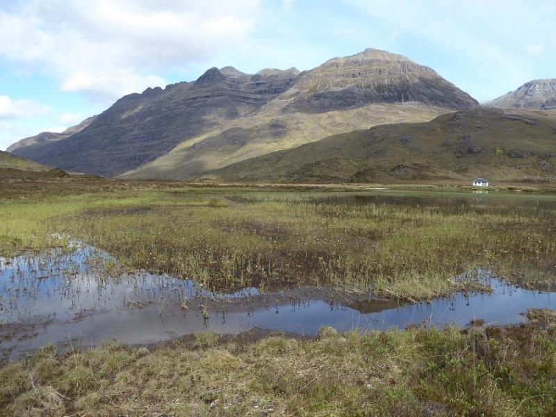
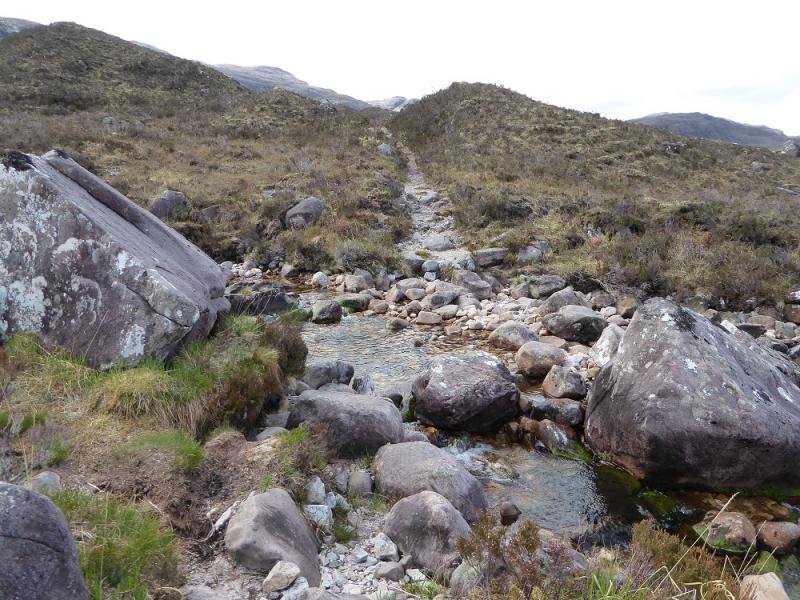
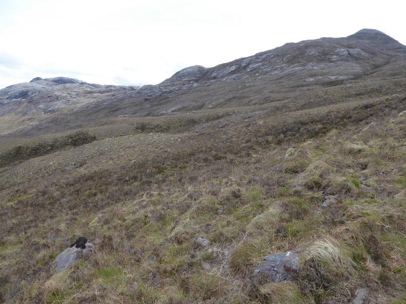
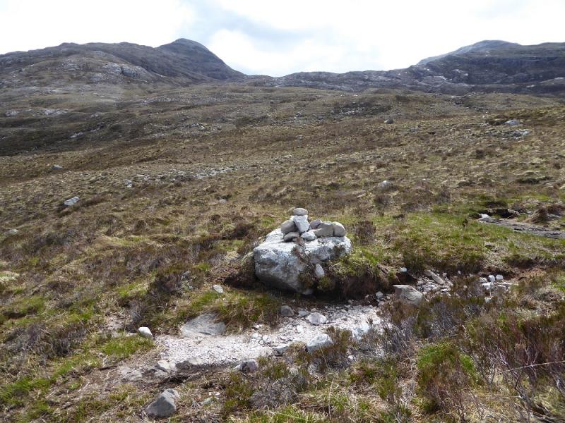
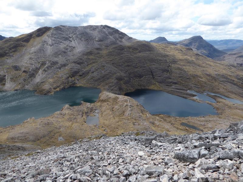
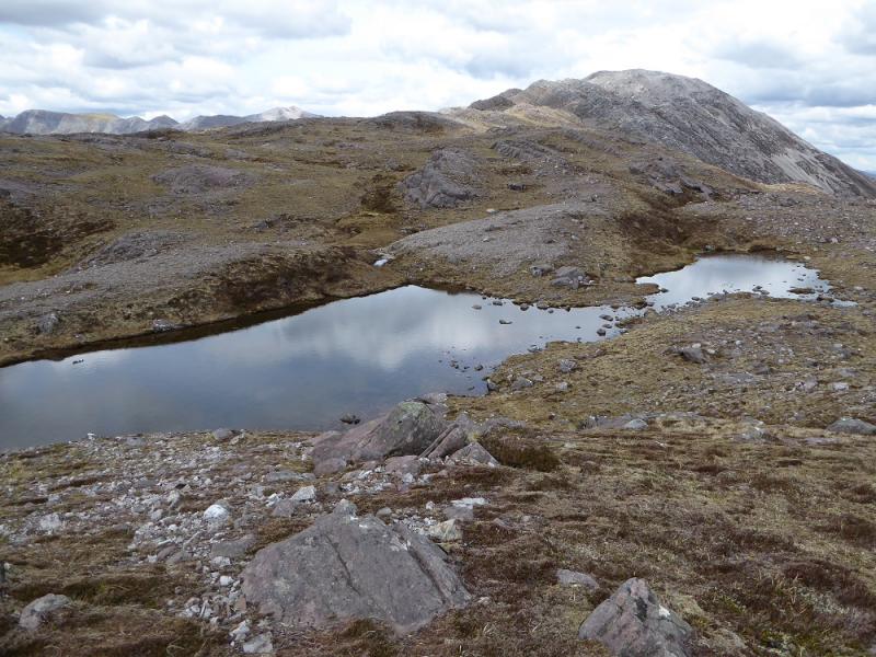
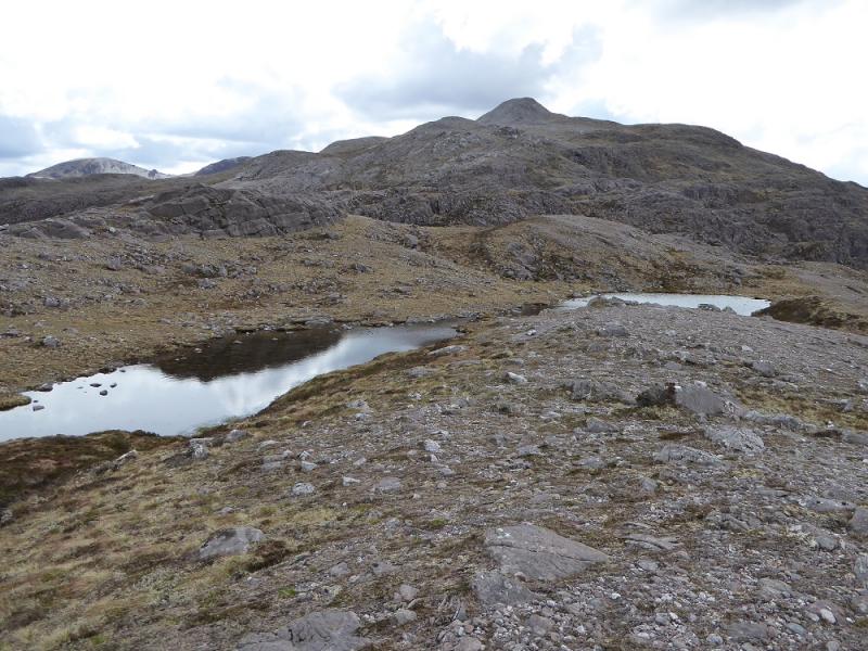
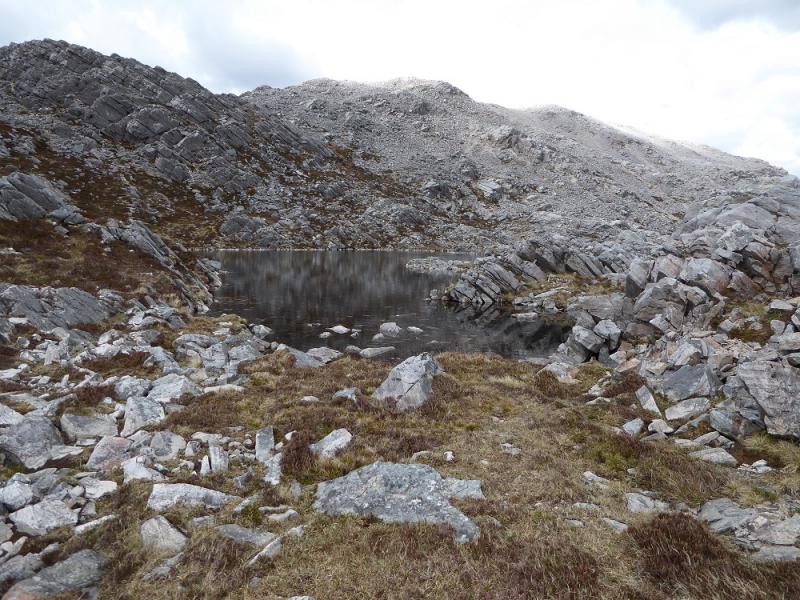
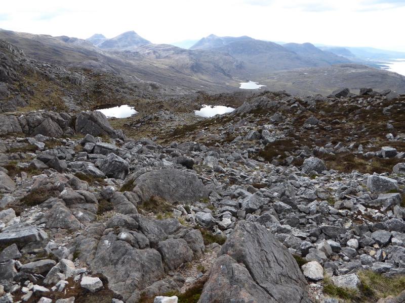
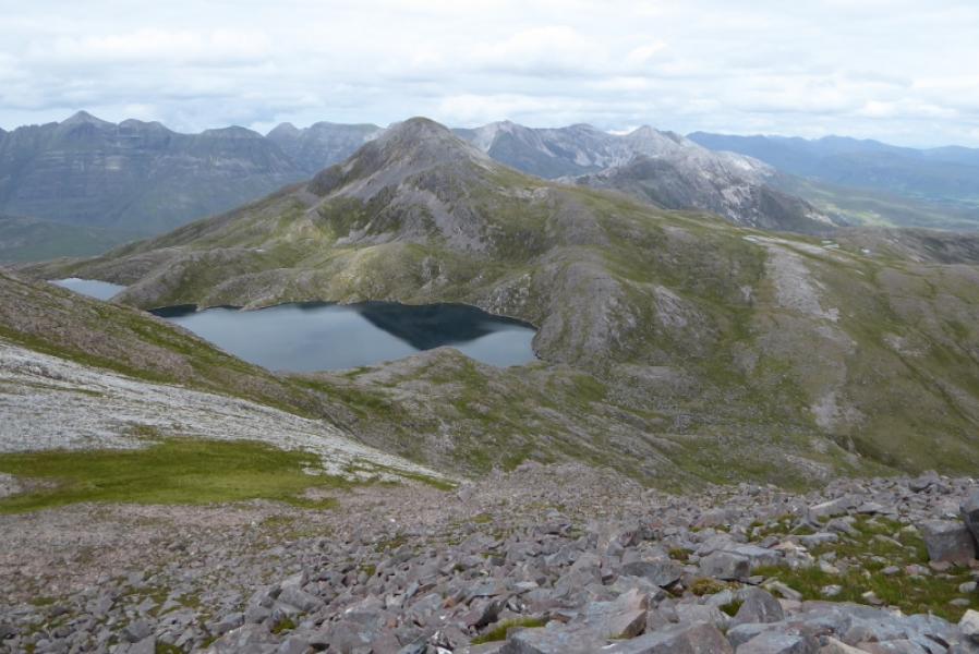
(1) Walk E from the car park and almost immediately cross the road bridge. Cross over, step over the crash barrier and follow the path to a footbridge then along to the white cottage known as the Ling Hut which is just past the large lochan. Continue on the very good path for about another 3 km to reach a small cairn, on a low rock, where the good path effectively ends. On the way, another small cairn will be passed, about 1.5 km after the Ling Hut, which seems to be by the stream which drains one of the lochans in the col between the two Corbetts. From the 3 km cairn, head SE, soon crossing a minor stream. Continue and reach another which can be followed up almost to Lochan Uaine and it has a hint of path on one side or the other at times. Higher up, either continue to the top of the stream or go across easy angled slabs or grassy ground to reach the bealach (col) between Sgorr nan Lochan Uaine and Beinn Liath Mhor. There are sections of path going through the scree which are visible from below and one can pick a way up until a small grassy plateau is reached where a medium cairn, on a low outcrop, is the summit of Sgorr nan Lochan Uaine, 871 m. If the direct approach from the bealach is not for you then work around to the right, E, and walk up a much easier and less rocky ridge which comes from Beinn Liath Bheag.
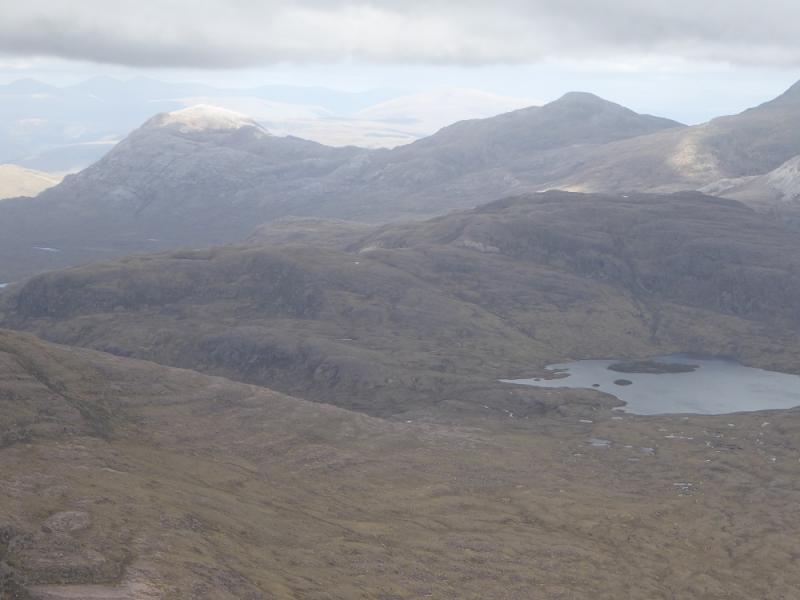
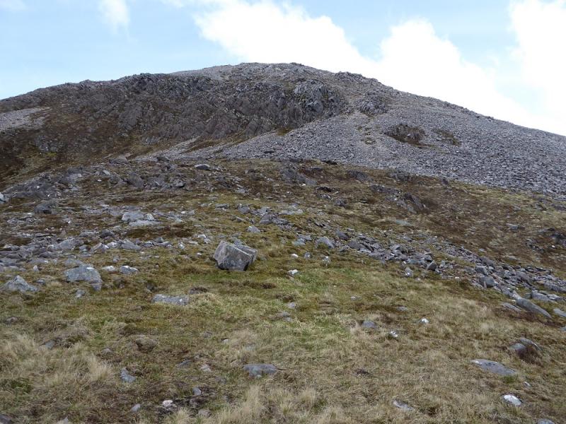
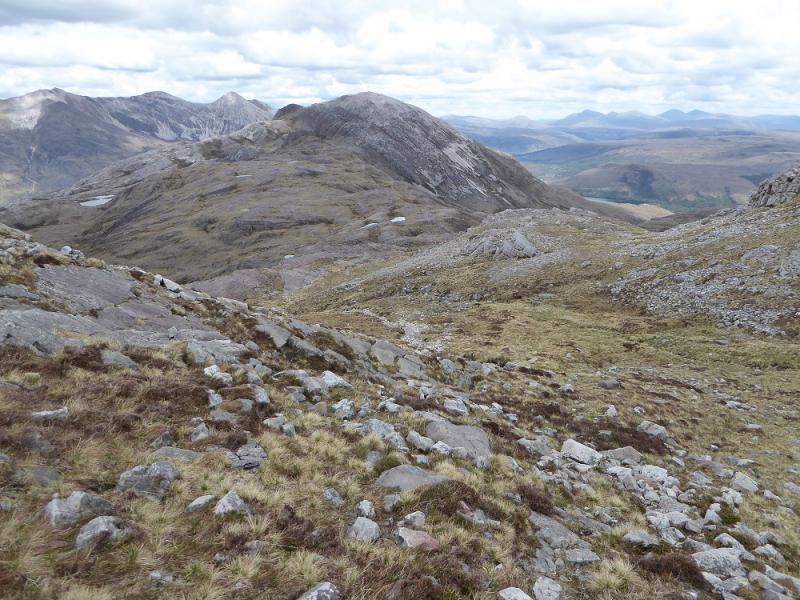
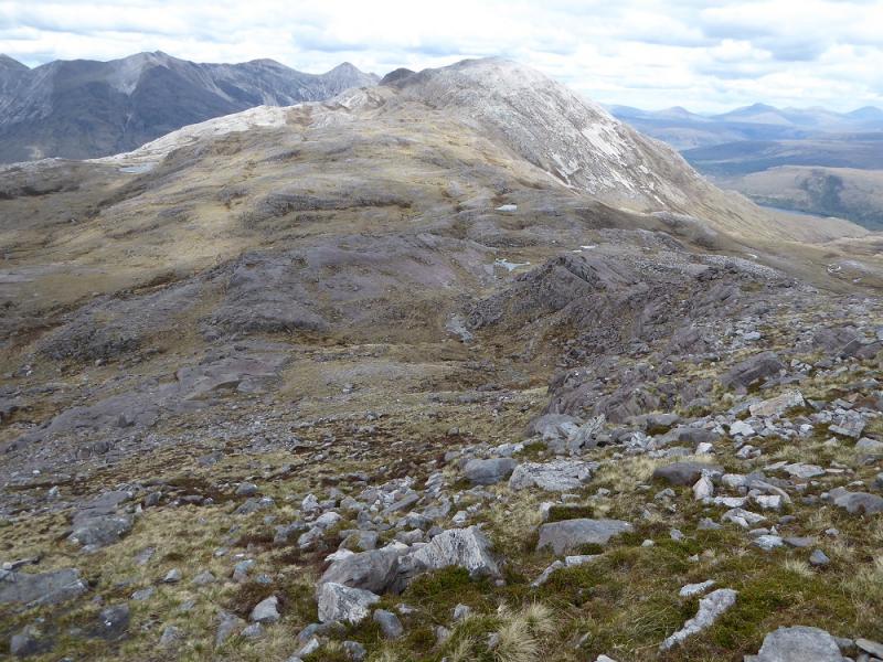
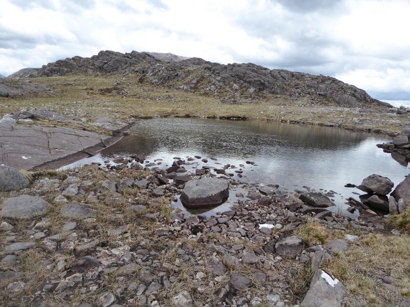
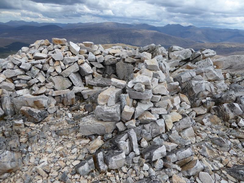
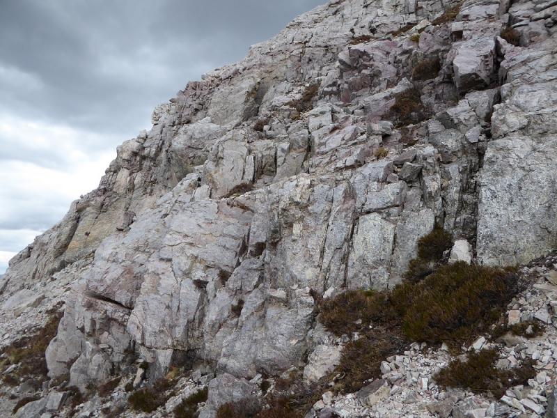
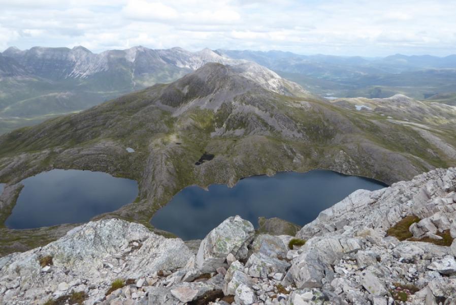
(2) Sgurr Dubh is only about 2.5 km away across a 510 m bealach. Many guide books give an hour for the crossing but few will do it in under two as the terrain is very complicated and very rough on Sgurr Dubh. From the summit of Sgorr nan Lochan Uaine, descend roughly N. After the initial section where it is easier to go more to the east, much of the way is on grass. Aim first for a collection of lochans then keep going down. It is better to keep on good grassy ground than worry about trying to find a shorter route. The closer to the bealach you get, the more complicated the terrain becomes and it is difficult to tell where the lowest point in the bealach is. When ascending Sgurr Dubh, try to keep to the left to begin with as routes to the right tend to gain height which then has to be lost and regained. There is a fairly large lochan in the bealach on its W side. On the ascent, a significant minor top has a traverse path on its right, E, side which leads to where the ascent becomes much more rocky. Pick a way up but try to avoid going too far left. There is a sort of path in places. When the angle eases, reach a small cairn which is the summit of Sgurr Dubh, 782 m.
(3) The descent is unpleasant. To the NW is a top with a cairn on it which is only a better viewpoint for Liathach and Beinn Eighe; it isn't a descent route. A direct descent down to the road is not possible because eof sandstone and quartzite cliffs. It is possible to walk down the W becoming SW ridge above the cliffs until they run out and a grassy, but steep route, can be seen down to the path leading back past the Ling Hut. It is possible to descend before here by finding weaknesses in the lines of cliffs and coming down to about 1 km E of the Ling Hut. However, possible though such a route is, it is very steep and rocky and progress will be very, very slow. Another possibility could be to continue down the ridge until the stream draining the lochans is met then follow it down.
Notes
(a) This walk took place on 19th May, 2017, and about 15 years earlier.
(b) The easiest way down seems to be to return to the bealach between the two Corbetts then descend E to meet the path by the stream flowing down towards Coulin Lodge from where a track leads N to the road for about 3 km then there is about a 5 km walk along the road. Bicycles could be hidden for the road section. Cars are not allowed into Coulin Lodge.
(c) The SYHA at Torridon is very well placed and a lovely place to stay. It is a modern purpose built building which is very well managed. It's only fault is that it is extremely popular so, if planning to stay there, book well in advance!
Photos - Hover over photo for caption. Click on to enlarge. Click on again to reduce.