Get Lost Mountaineering
You are here: Scotland » 12 Glen Cannich to Glen Carron » East of Strathcarron & Achnashellach
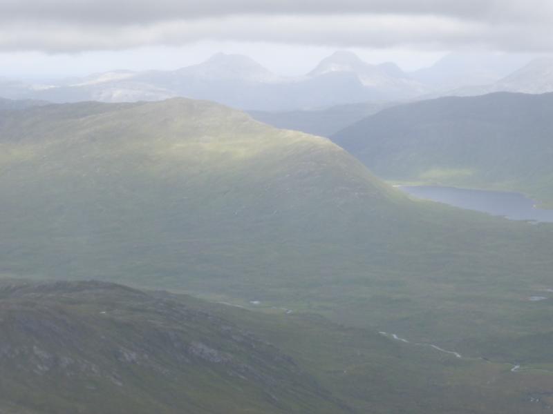
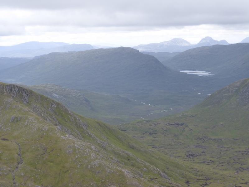
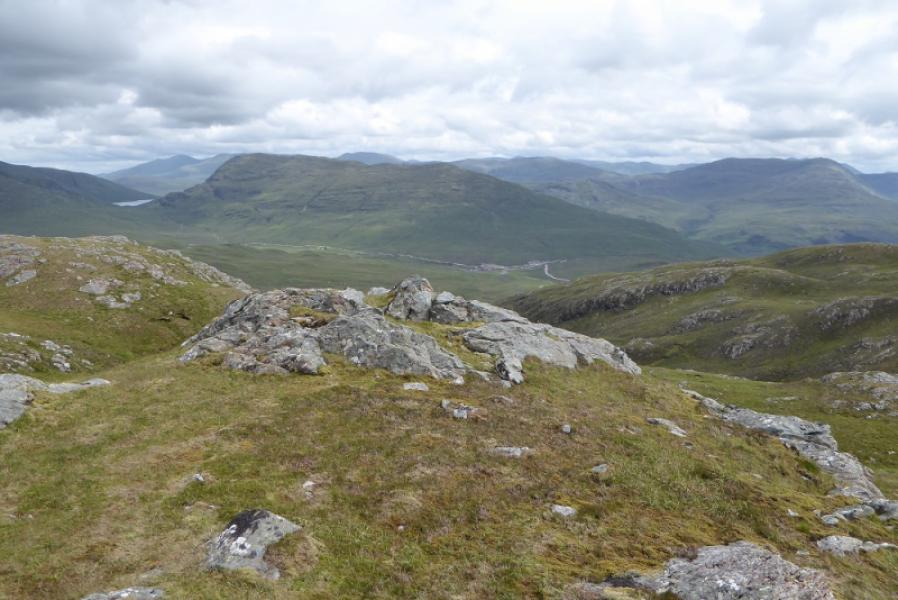
Beinn Dronaig from Attadale
Beinn Dronaig from Attadale
Start/Finish
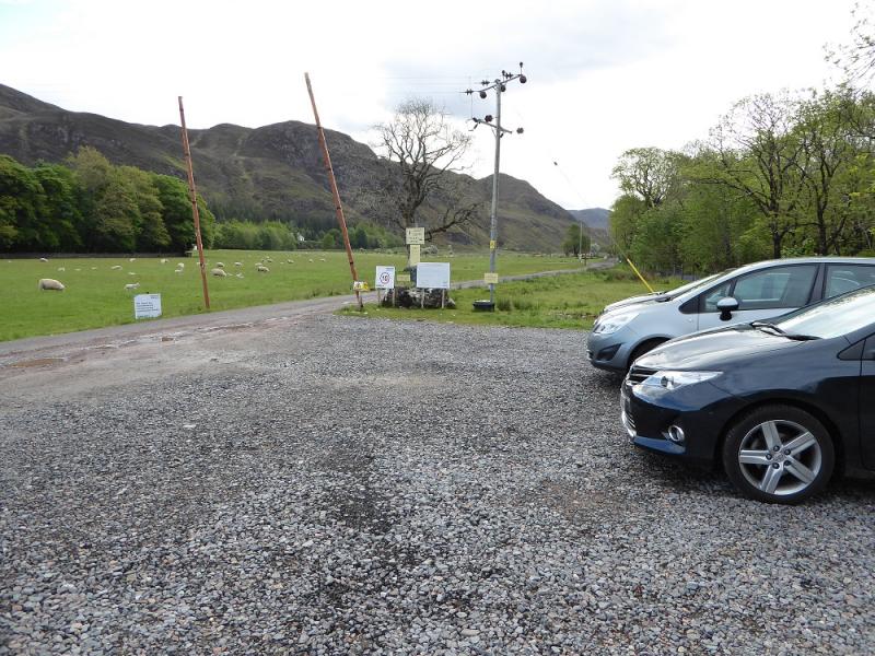
Walkers' car park at Attadale which is just inside the entrance to the gardens. Attadale is across the loch from Lochcarron.
Distance/Time
24 km bike + 6 km walk. About 8 hours.
Peaks
Beinn Dronaig, 797 m, NH 037 382. OS sheet 25: Glen Carron
Introduction
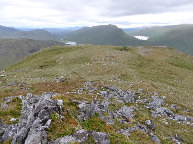
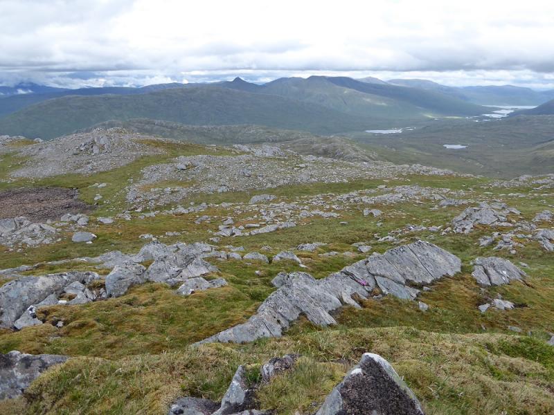
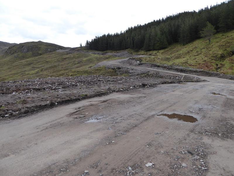
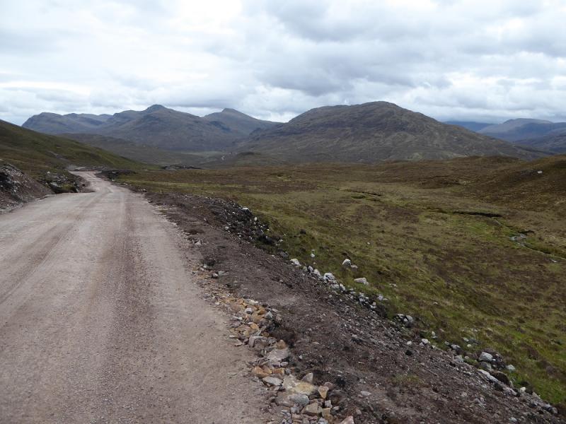
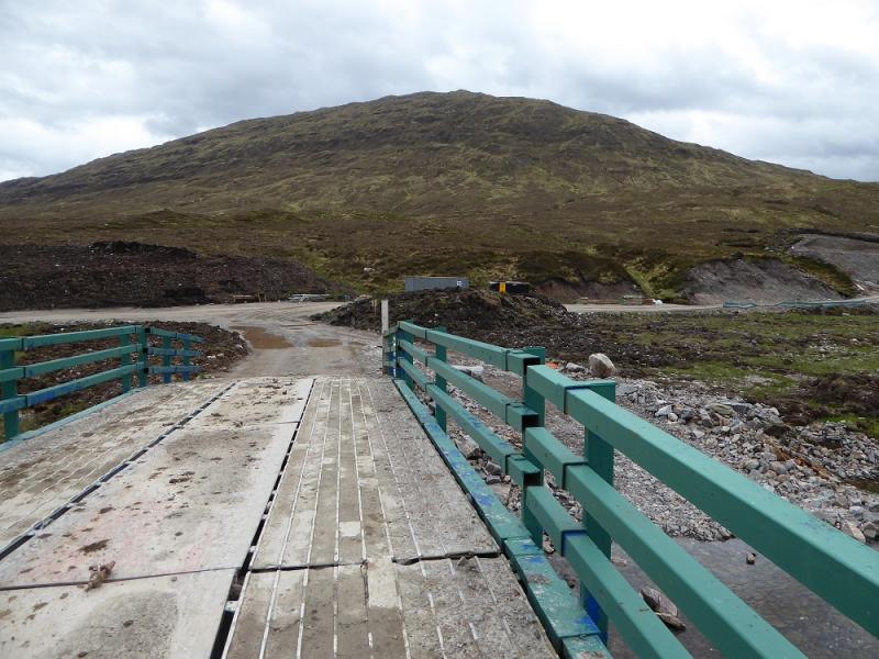
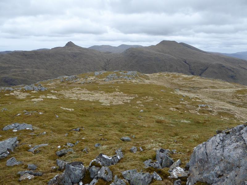
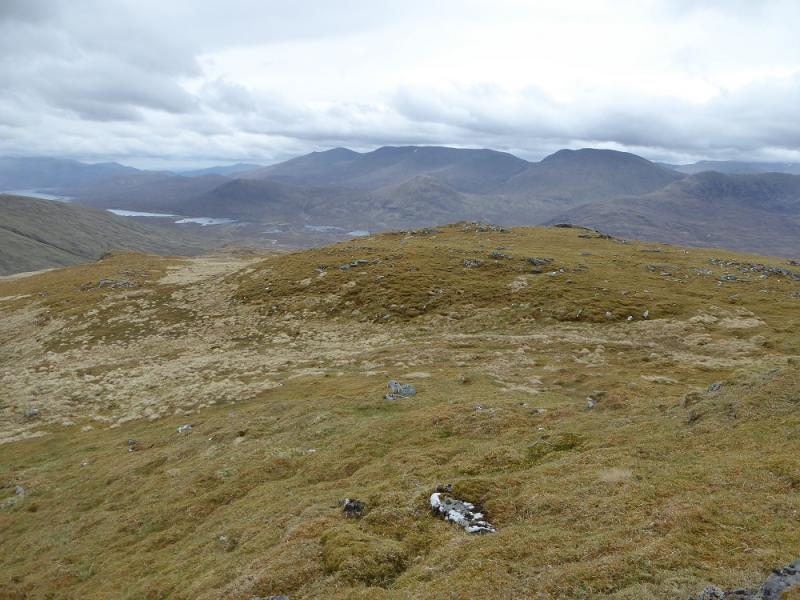
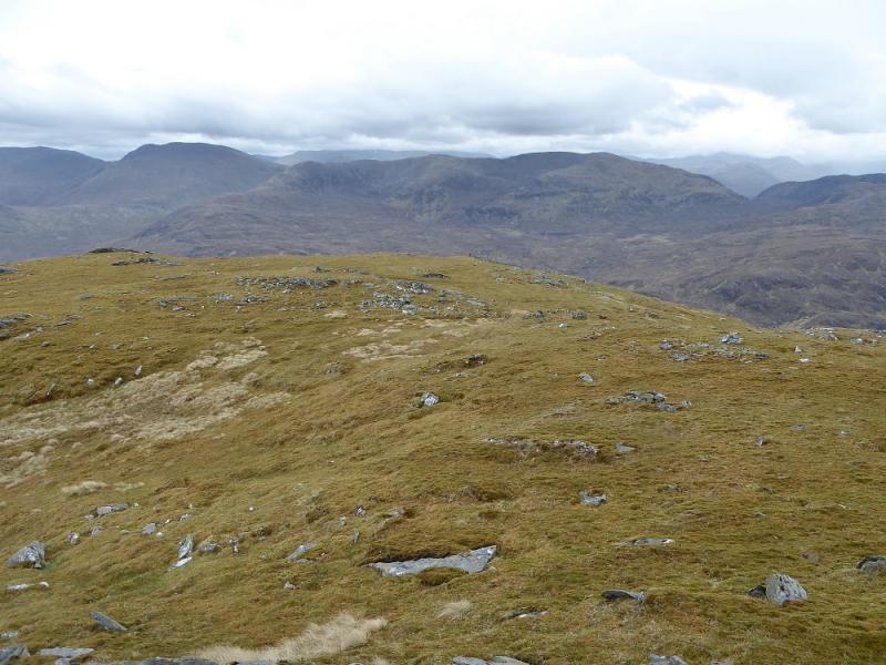
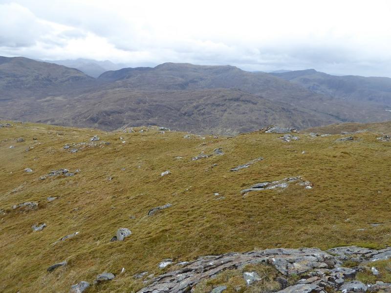
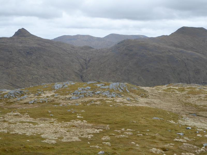
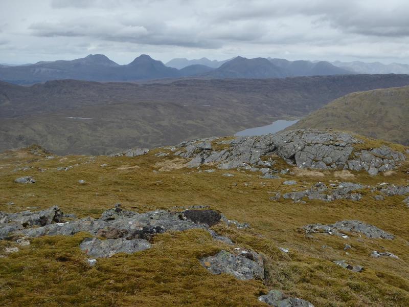
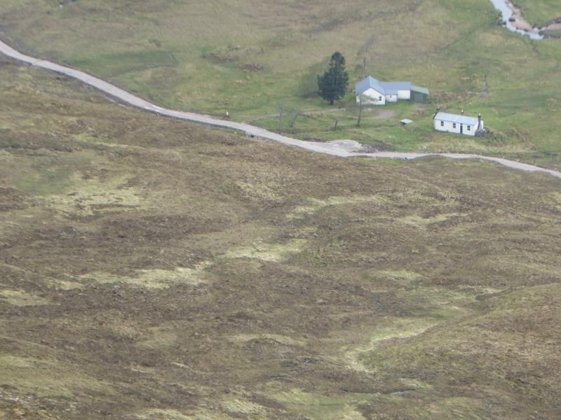
Beinn Dronaig is quite a remote hill but is easily climbed once its foot is reached. The track from Attadale has been largely replaced by a new hydro road as at least three hydro works are being constructed. This makes the cycling a little easier. Unfortunately, one has to go over a pass about 350 m high to reach Bendronaig Lodge and the foot of the hill. This is quite a steep climb on the outward journey as one is starting almost at sea level. The return cycle is not as bad because Bendronaig Lodge is at about 220 m. Bendronaig Lodge is a small house/large shed with a good bothy close by. Beinn Dronaig offers very good views to Bidein a' Choire Sheasgaich, Lurg Mhor, An Cruachan, Aonach Buidhe, Faochaig, An Socach, Maol Chean-dearg and Sgorr Ruadh. Torridon can also be seen on a clear day as well as the Strathfarrar hills.
Route
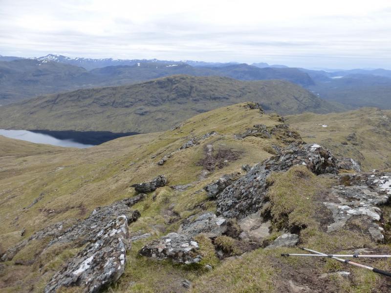
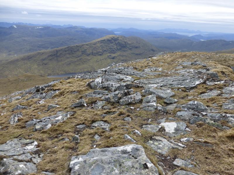
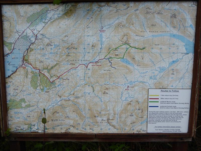
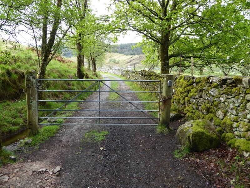
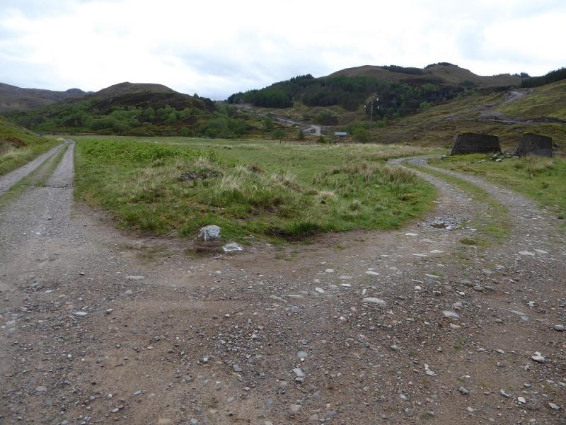
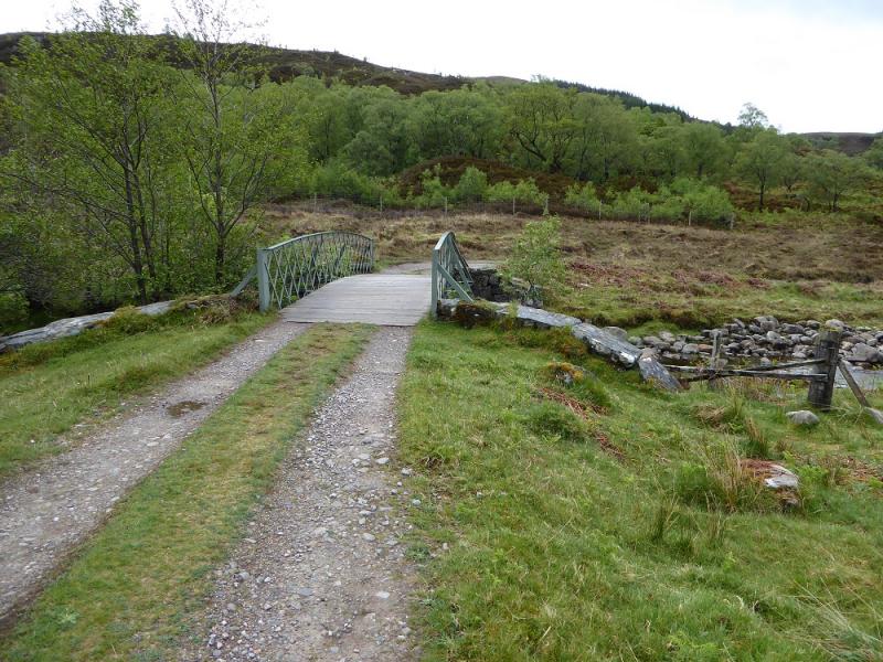
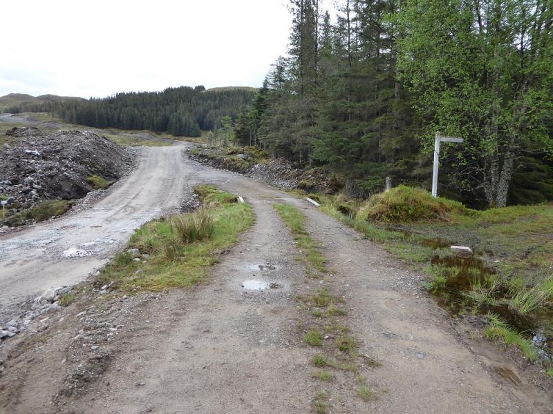
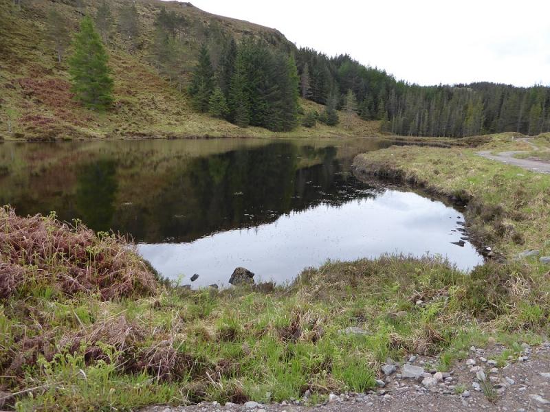
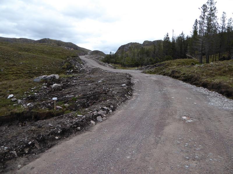
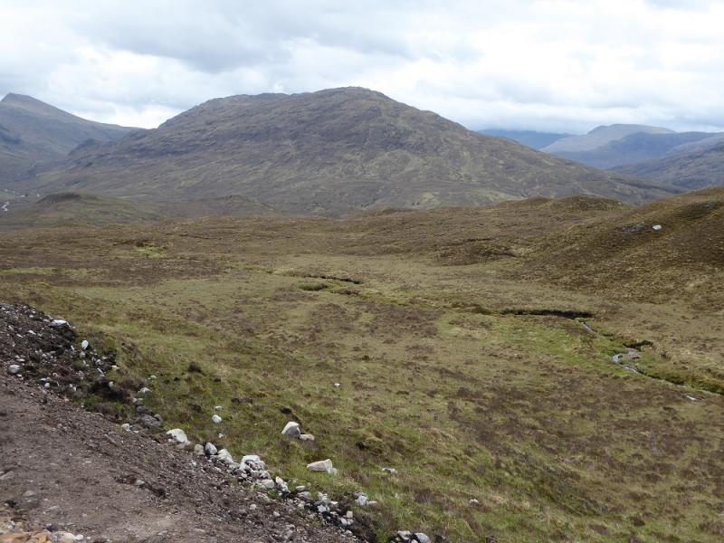
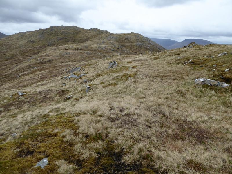
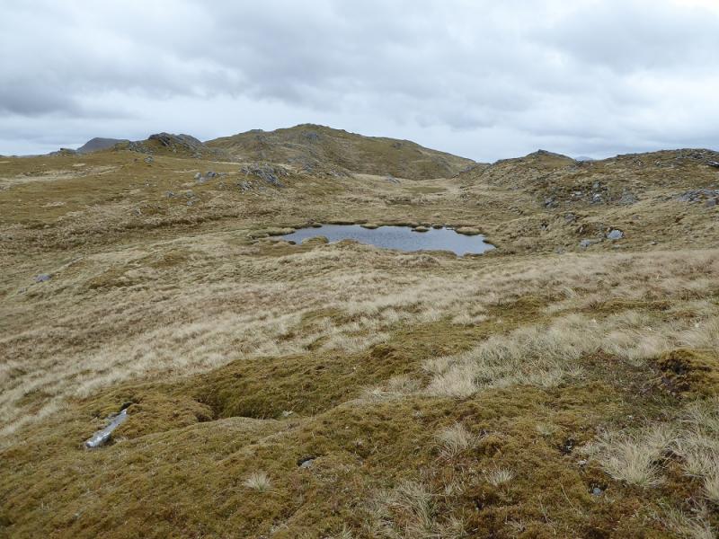
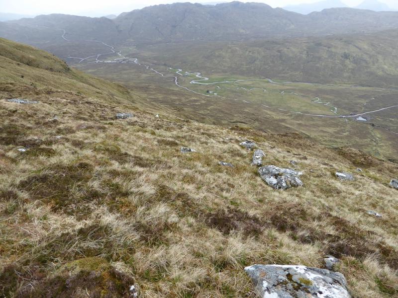
(1) Read all the information, including maps, in the car park. Follow the obvious track which directs walkers to begin with. Pass the entrance to the gardens then the holiday cottages where the tarmac road becomes a track. Go around a gate (bike on its back wheel) then continue ahead, ignoring any right turns, to reach a footbridge. Continue and soon reach the new hydro road. Follow this all the way to Bendronaig Lodge. There are some steep climbs and many will be pushing rather than cycling. Pass a sign for a path to Killilan, a lochan on the right then another lochan on the right further on. Eventually, the highest point on the track is reached and one then has a relatively easy ride down to Bendronaig Lodge. The bothy is a good place to sit for a morning break! From the lodge, head roughly SE up moderately steep grassy slopes which become steeper higher up. There is a very faint path by a stream some of the way. After a long ascent, reach the crest and follow it E. It undulates quite a lot but, in good weather, it is easy to weave between the minor tops. After about 2 km on the crest, the final rise leads to the round trig point on an outcrop which is the summit of Beinn Dronaig, 797 m.
(2) To avoid retracing the outward route, make a descending traverse WSW, heading for the lodge, down fairly easy slopes. There are a few crags but these are easily avoided; some significant stream gullies can be either crossed or followed down to easier crossing places. There is a faint path following some of this line. Lower down, one can drop on to the hydro road and walk a short distance back to the lodge and the cycle back to Attadale.
Notes
(a) This walk took place on 21st May, 2017, and about 15 years earlier.
(b) An alternative but longer descent (not checked out) could be to descend theE ridge looking for the stalkers' path lower down which can be followed down, in zig-zags, to cross the outflow of Loch Calavie (may not be possible to cross in wet weather) then join the track along the N side of Loch Calavie which leads back to Bendronaig Lodge.
Photos - Hover over photo for caption. Click on to enlarge. Click on again to reduce.