Get Lost Mountaineering
You are here: Scotland » 14 Loch Maree to Loch Broom and Garve » Letterewe & Fisherfield to Little Loch Broom
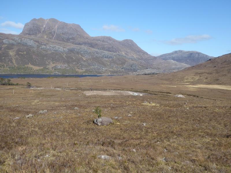
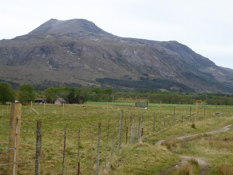
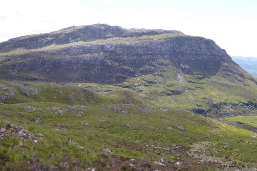
Beinn a' Mhuinidh from Kinlochewe
Beinn a' Mhuinidh from Kinlochewe
Start/Finish
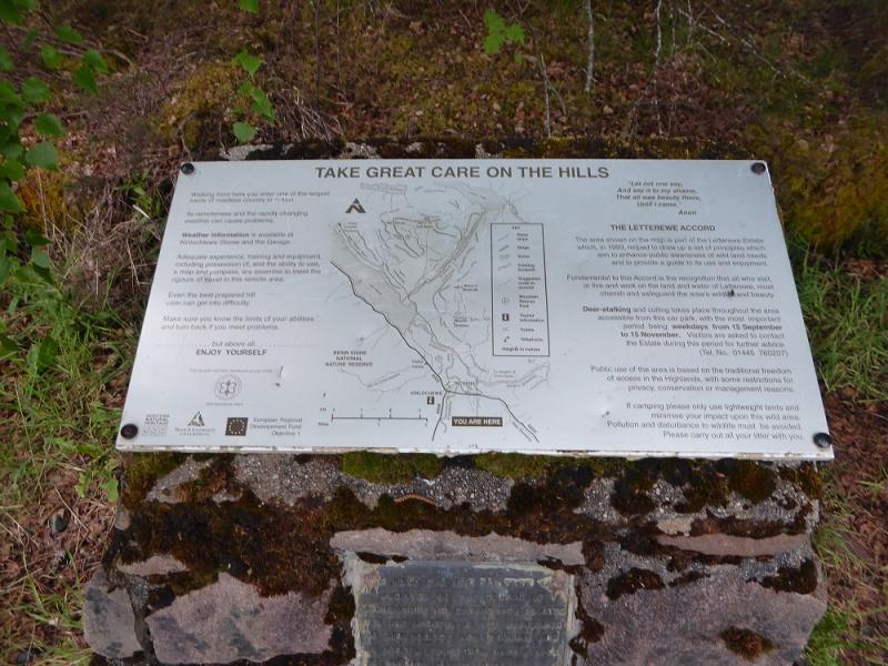
Incheril car park which is signed off the A832 road about 0.5 miles east of the junction in Kinlochewe. There is usually plenty of room to park but late starters may struggle on busy days!
Distance/Time
17 km. About 6 – 7 hours.
Peaks
Beinn a' Mhuinidh, 692 m, NH 032 660. OS sheet 19: Gairloch & Ullapool
Introduction
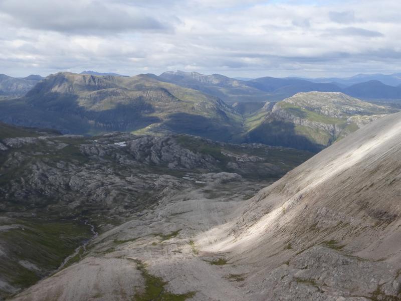
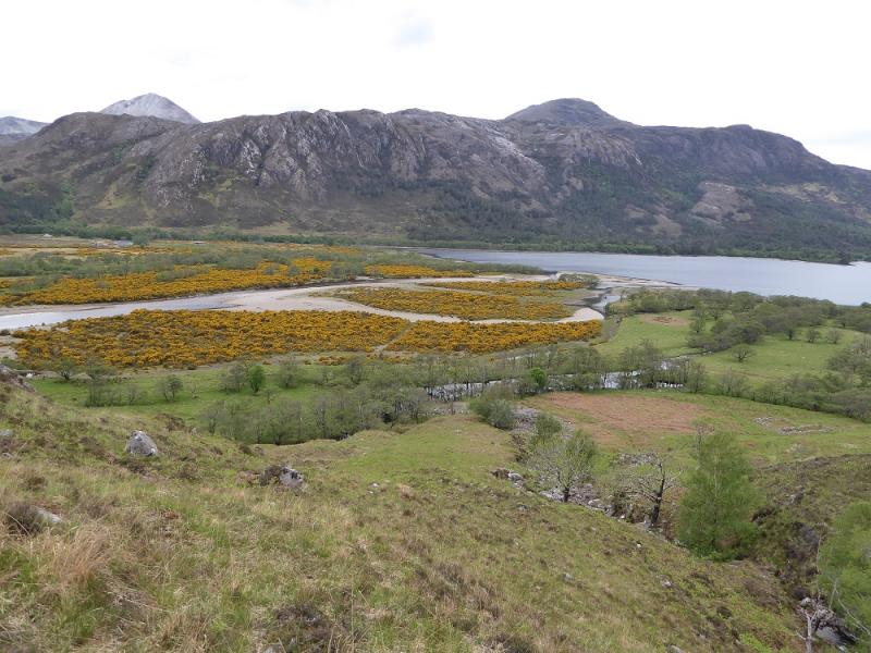
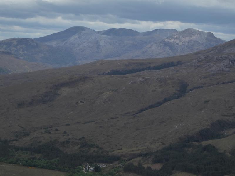
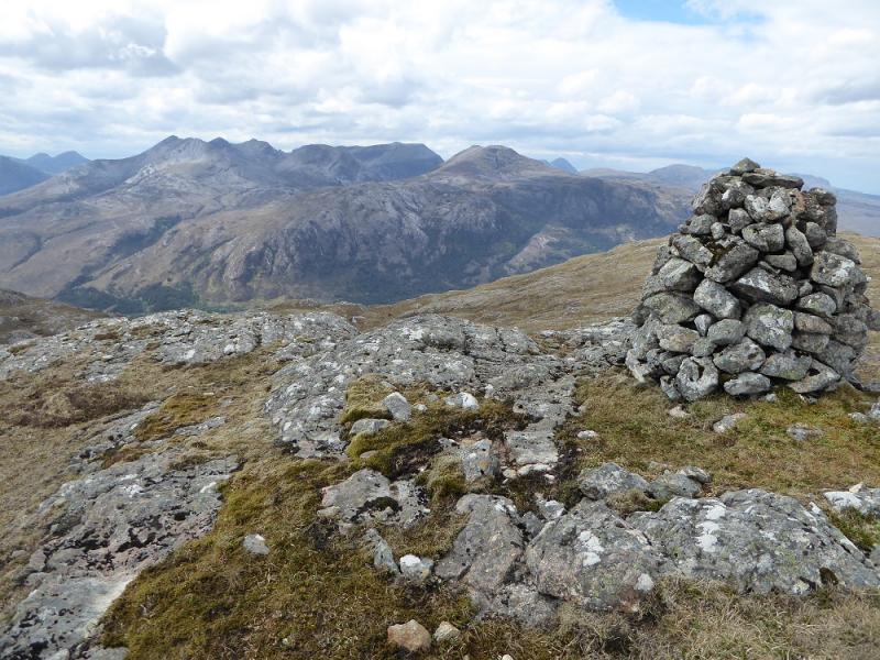
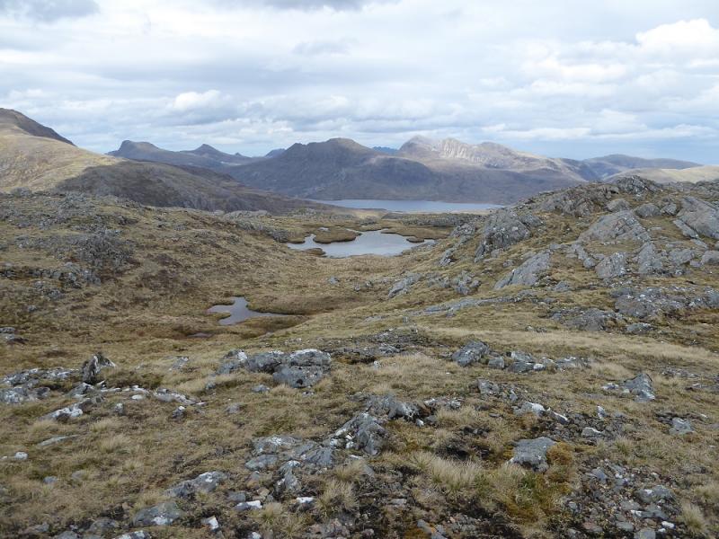
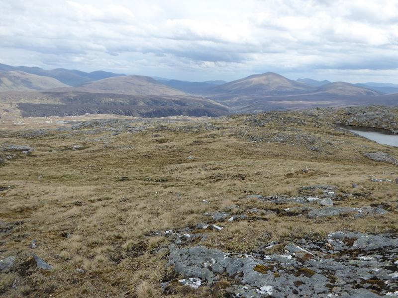
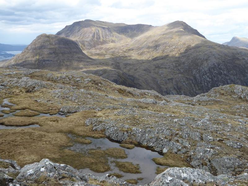
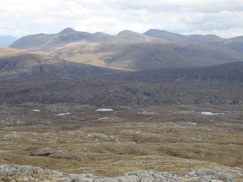
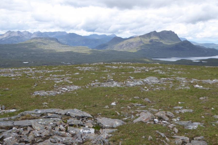
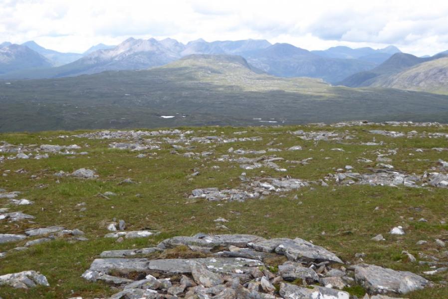
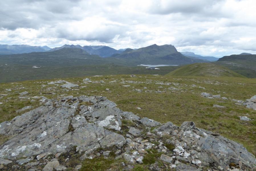
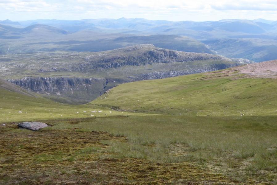
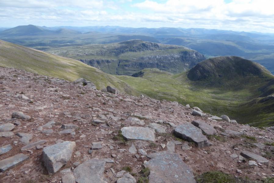
This is a lovely hill of great character which offers superb views to Beinn Eighe, Slioch (next door), Fisherfield and Fionn Bheinn. Many will climb it on a day when higher peaks are in the cloud but this would be a real shame as the superb views would be missed. The ascent is steep in places on an exposed path but there is no scrambling. There are two summits with the East Top having the larger cairn but the West Top is the higher and therefore the true summit. The recent SMC book “The Grahams & The Donalds” surprisingly fails to mention this key piece of information. Ferns may be a problem during the summer months.
Route
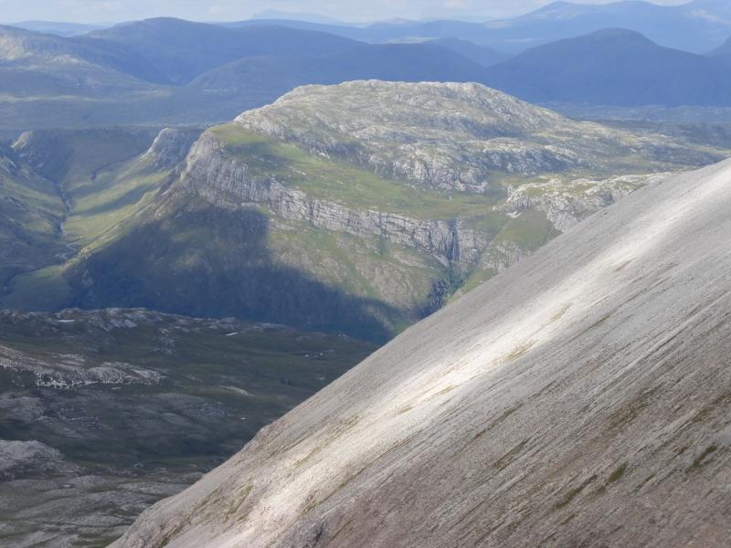
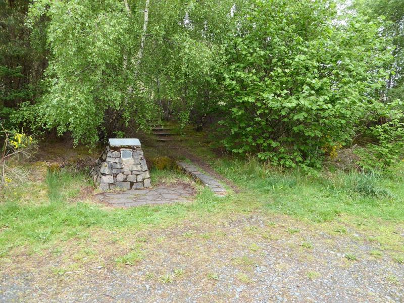
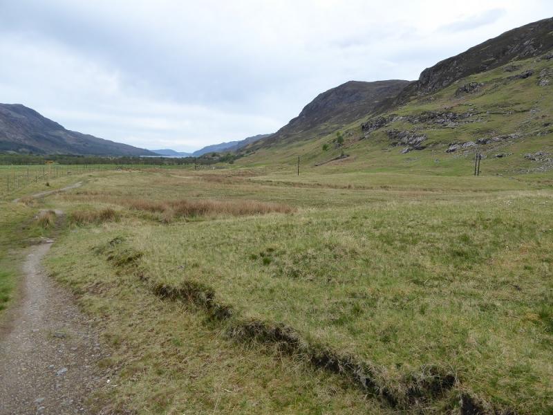
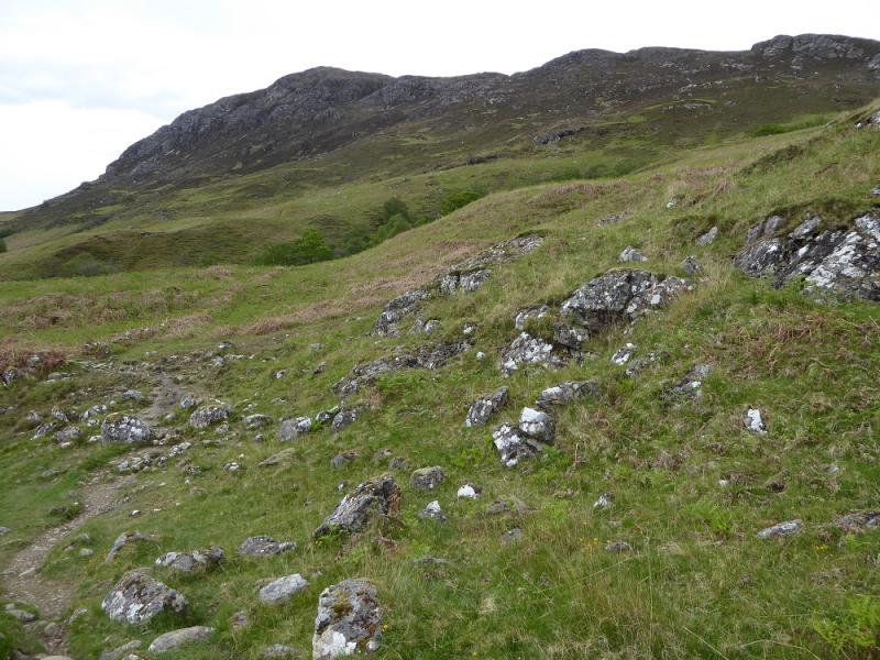
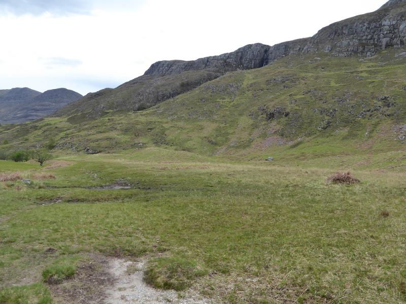
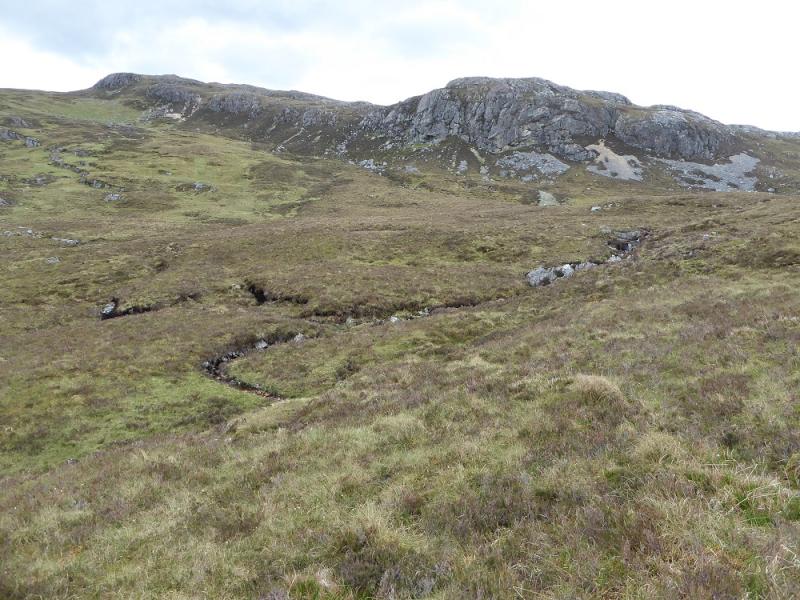
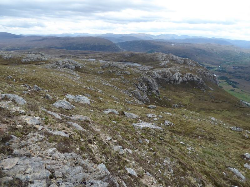
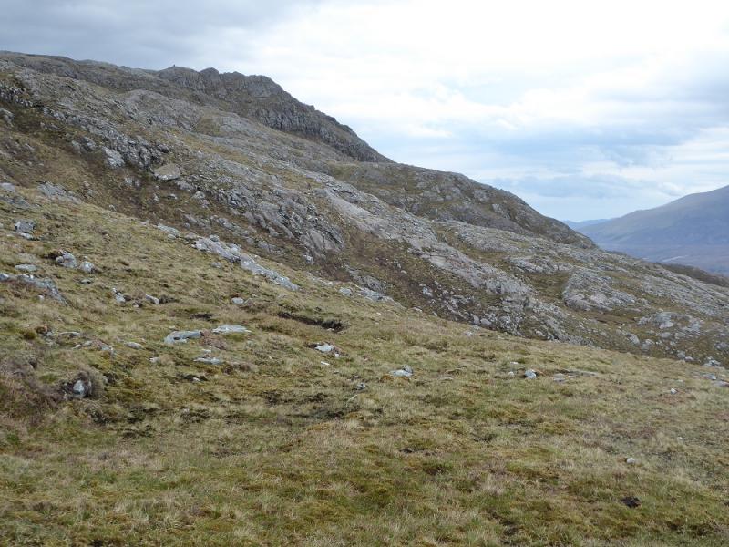
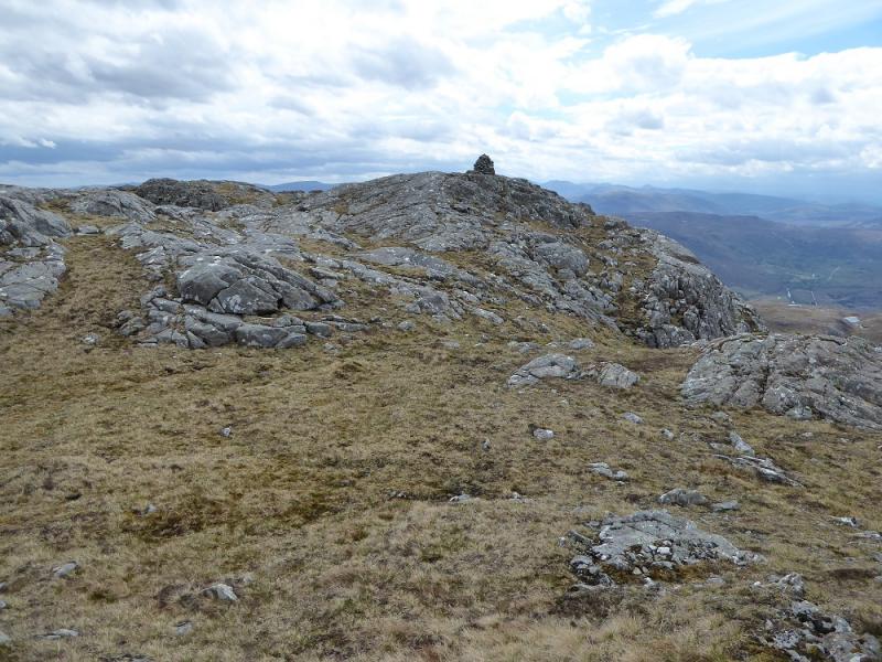
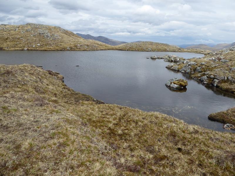
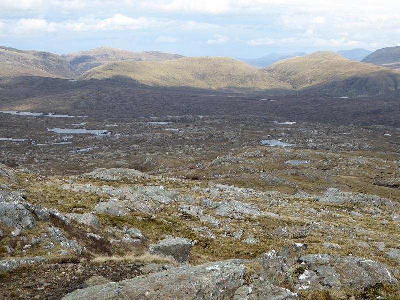
(1) The path starts at the cairn in the car park then heads E towards Loch Maree. Further on, the path gets close to the Kinlochewe River before diverging after a small cairn to avoid a large clump of gorse a little further ahead. After about 4 km walking, the path crosses a small tree lined stream. High above should be a waterfall coming over a cliff. Don't cross the stream but follow the S side of the stream up on a faint path. Higher up, the path is more distinct, ferns permitting, and it is possible to get right to the foot of the waterfall on a path which has a steep drop above the stream. There is no easy continuation from the foot of the waterfall so retrace and go past the foot of a shallow heathery gully. This can be ascended but there is a path a little further on which picks its way up. Higher up, this cuts back and crosses the stream feeding the waterfall but soon fades away after that. There are many options from here but one can walk up grassy slopes heading roughly N below the line of crags. The crags can be crossed just before the last one then one heads ENE up the ill-defined WSW ridge. In clear weather, the E Top will soon be seen and one can easily get to it; it stands on a slabby outcrop. From there walk NW, passing a sizeable lochan to reach a low but wide cairn which is the summit of Beinn a' Mhuinidh, 692 m.
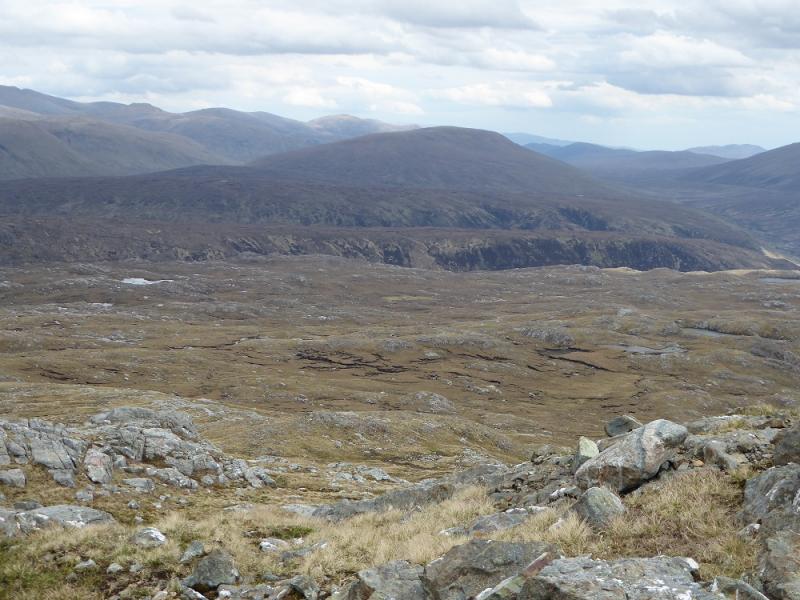
(2) It is worth descending to the E to enjoy the ever changing views then heading SE, maybe even S, over open moorland to reach the track in the glen somewhere between the Heights of Kinlochewe and Incheril. The open moorland is quite complex terrain. If a line of old iron fence posts is met, follow this until it meets a deer fence then walk down to the glen where you are likely to meet an ATV track during the descent to help progress. If the track is found then it is about 3 km from its foot back to the car park.
Notes
(a) This walk took place on 22nd May, 2017, and about 15 years earlier.
Photos - Hover over photo for caption. Click on to enlarge. Click on again to reduce.