Get Lost Mountaineering
You are here: Scotland » 11 Kintail and Glen Affric to Loch Ness » Invermoriston to North Glen Shiel
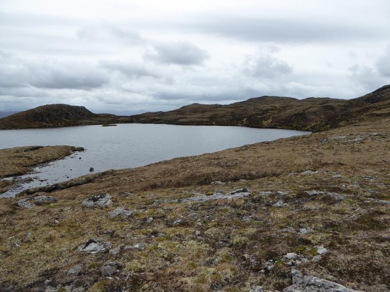
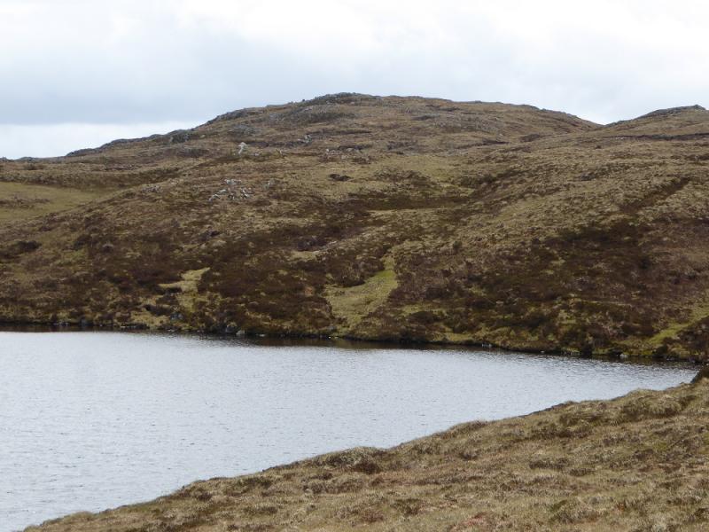
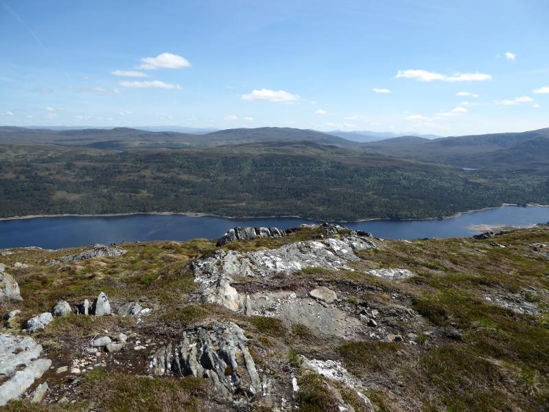
Carn a' Chaochain from Cougie
Carn a' Chaochain from Cougie
Start/Finish
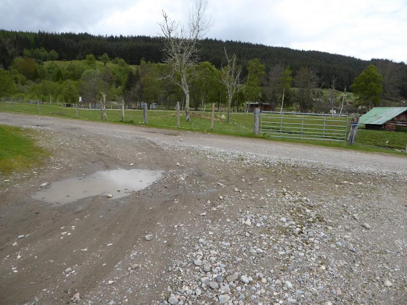
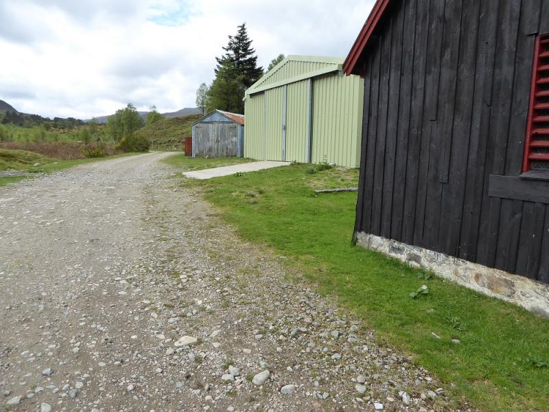
Cougie where there is limited parking near some obvious large sheds or further round on the track to the pony trekking centre after the bridge. Cougie is reached by a forestry track which the public are currently allowed to use. The track is rough, with potholes, and ordinary cars will have to be driven slowly to avoid being damaged. Cougie is usually reached via Cannich which is the entrance to Glen Affric. Drive west from the village as if going to Glen Affric. When the road splits at the power station, go left for Tomich and follow signs to go through Tomich village. Soon after the road becomes a track. Continue, for about 3 miles, following signs to Plodda Falls. Continue for about another 3 miles to Cougie crossing Garve Bridge on the way.
Distance/Time
10 km. About 3 – 4 hours.
Peaks
Carn a' Chaochain, 706 m, NH 235 177.
OS sheets 25: Glen Carron; 26 Inverness & Strathglass: 34 Fort Augustus & Glen Albyn (all needed).
Introduction
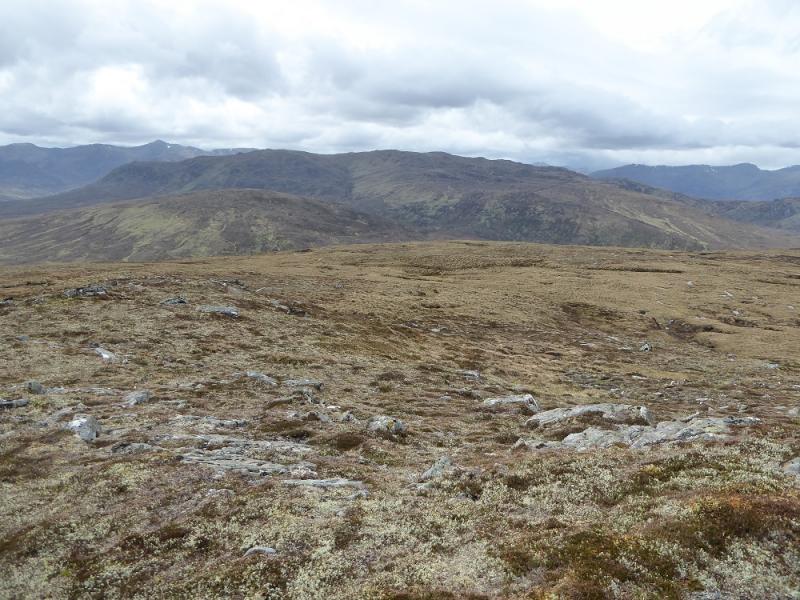
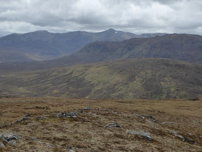
This is a very remote hill but once its foot is reached, it can be climbed in under 4 hours by the average walker. It is a fairly unattractive moorland hill with modest views but these do include Sgurr nan Conbhairean, Aonach Shasuinn and the high Munros of Glen Affric. Those using the recent SMC book “ The Grahams & Donalds” should note that they only state that OS sheet 34 is needed. This is a serious mistake as Cougie and the early part of the route is on sheet 25. The approach from Cannich is on sheet 26. The small cairn which the SMC say marks the start of the ascent track was no longer there on 23/5/17.
Route
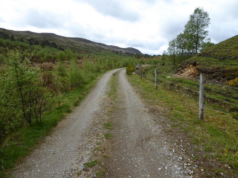
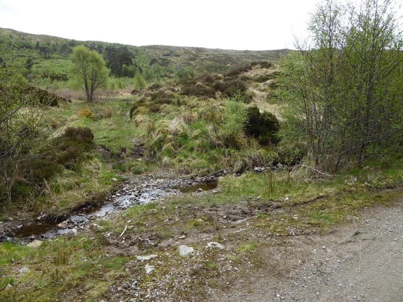
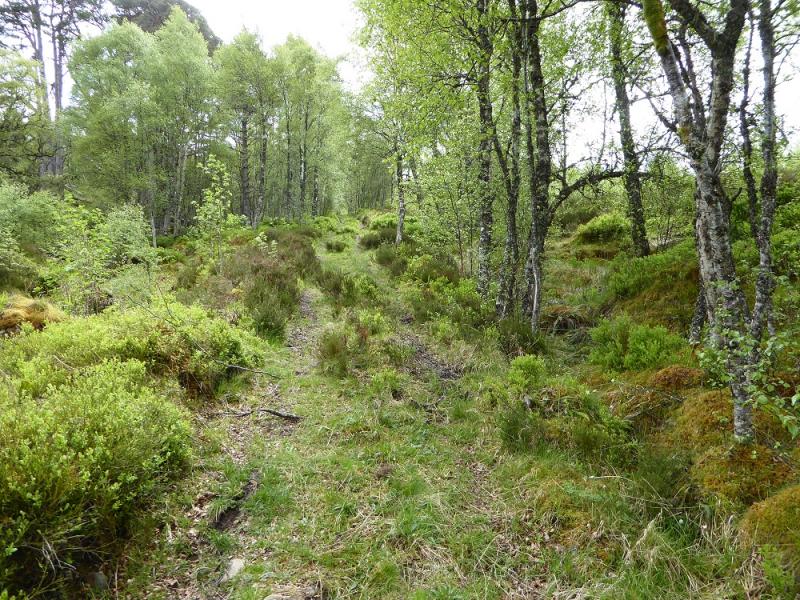
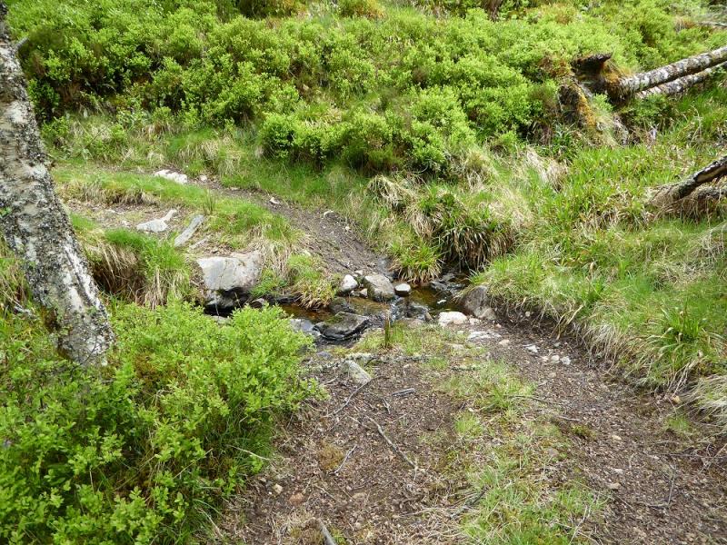
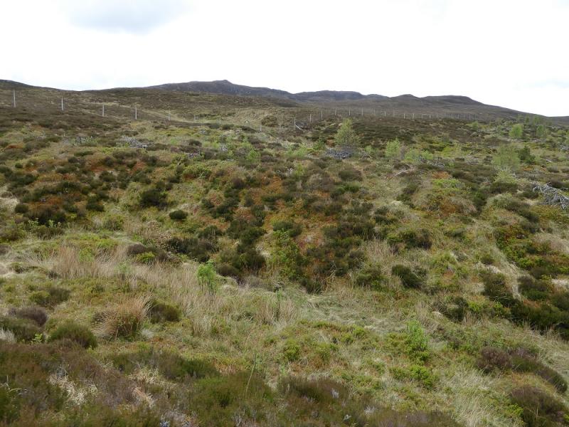
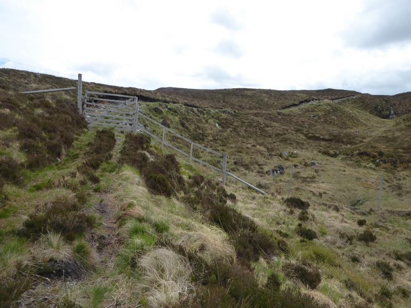
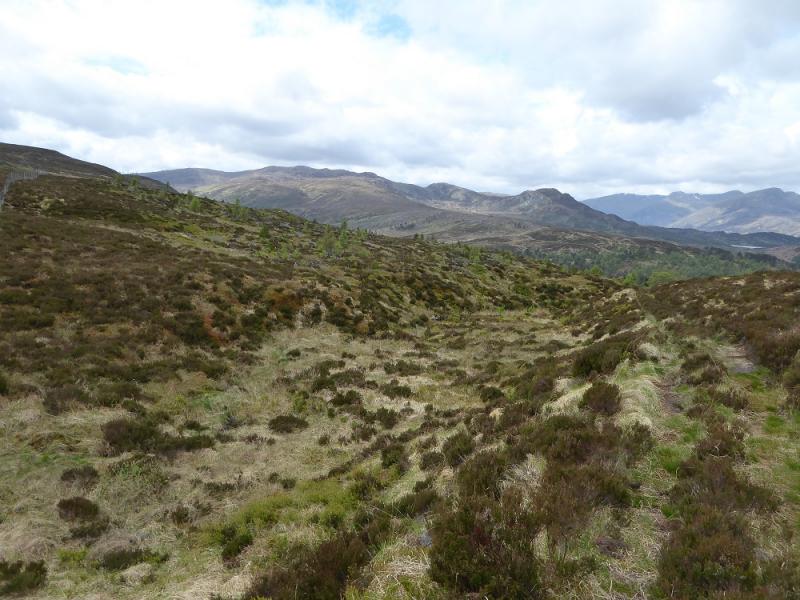
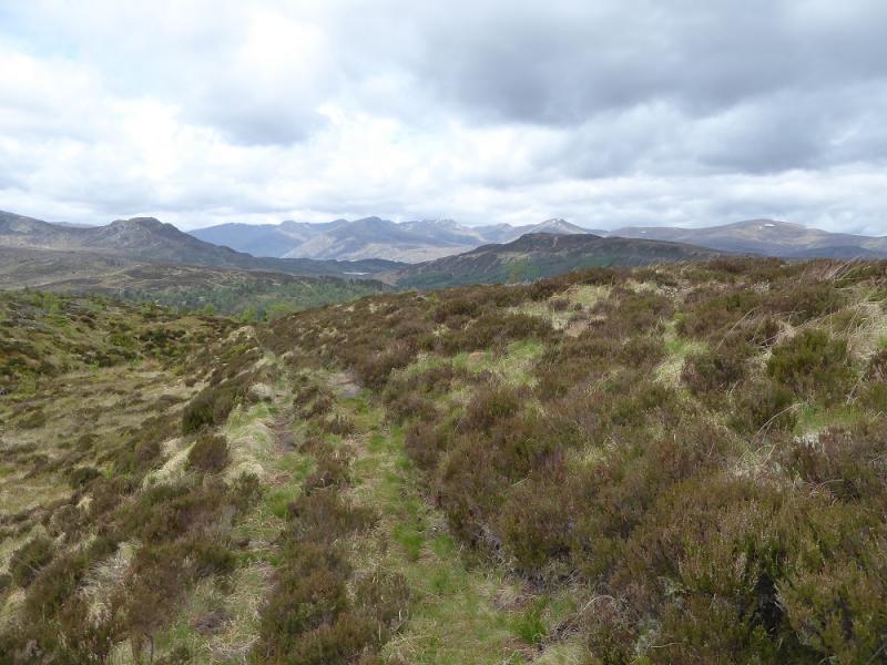
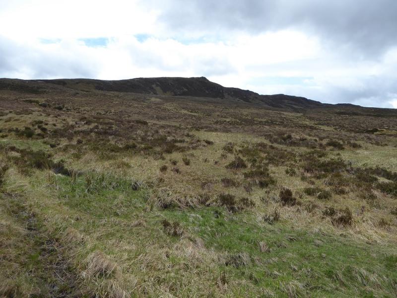
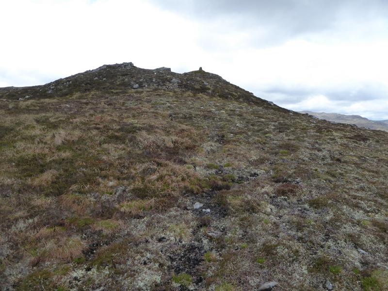
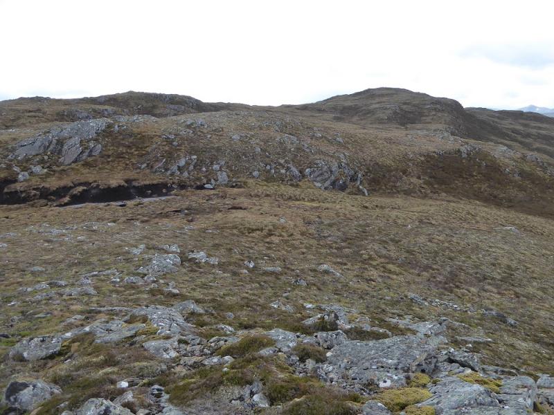
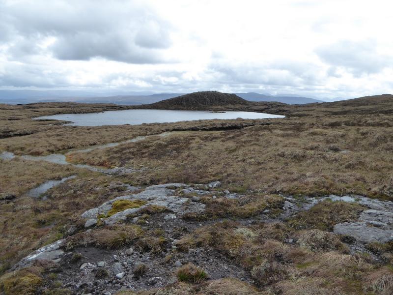
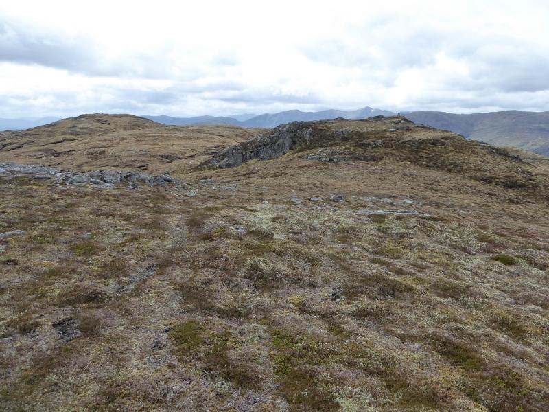
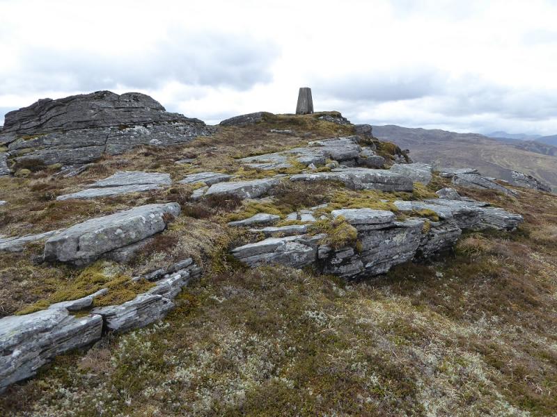
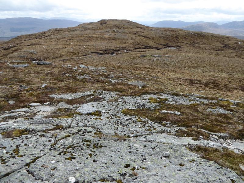
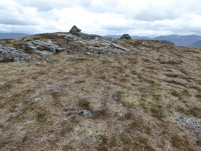
(1) Walk W along the track from the sheds. After about 300 m, a gap in the tress on the left is the start of the rough track which follows a stream up and into a wood where the stream is crossed. After the wood, a gate is reached and the track continues onto open moorland. A cairned top may be seen but this is just a minor top on Carn a' Chaochain. The track becomes a path and is faint in places but becomes more distinct as the col known as the Bealach Feith na Gamhna is approached. From the col, head SW up rough grassy slopes where there seems to be no path. Continue up and visit the cairned minor top which is slightly off to the right. Continue up, passing to the N of Loch Carn a' Chaochain. Go over another minor top then reach the trig point. The true summit is about 400 m S across a dip which has a few peat channels in it. Reach a small cairn on an outcrop which is the summit of Carn a' Chaochain, 706 m. There is a larger cairn within 20 m but it seems lower.
(2) Retrace the outward route although it is possible to traverse the trig point to its E and walk down a slightly different ridge to the one used in ascent. Cross back to the original ridge near the bottom and regain the path back to Cougie from the Bealach Feoth na Gamhna.
Notes
(a) This walk took place on 2nd August, 2016. All the hills were previuosly climbed twice before but included in different routes.
(b) If you don't mind the driving, Dingwall Camping and Caravanning Club site is well placed for access to Glen Arric, Loch Mullardoch, Glen Strathfarrar, Strathconon, Ben Wyvis, Achnasheen, Kinlochewe. Fannaichs, Loch Glascarnoch, Beinn Dearg range and lower hills on the coast. The site is virtually midge free. It pays to be a member otherwise there are surcharges. There is an over 50's discount outside of the High Season. Electrical hook ups are possible for campers. Dingwall has a 24 hour Tesco as well as a Lidl. The nearest camp site to this walk is just to the east of Cannich on the road to Drumnadrochit. It is a very well equipped site but midges may be more of a problem in the summer than at Dingwall. Cannich is a small village with a pub and shop.
Photos - Hover over photo for caption. Click on to enlarge. Click on again to reduce.