Get Lost Mountaineering
You are here: Scotland » 11 Kintail and Glen Affric to Loch Ness » Glen Affric to Loch Duich
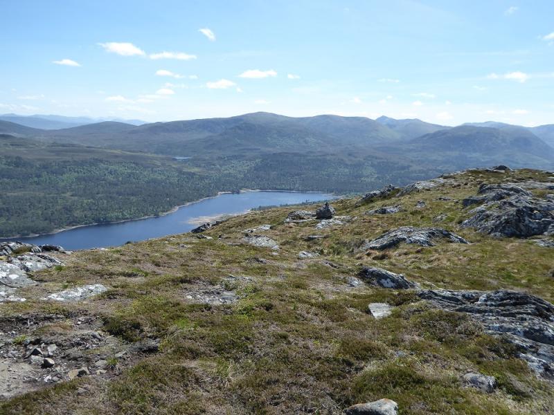
Carn a' Choire Ghairbh & Aonach Shasuinn from furthest car park up Glen Affric
Carn a' Choire Ghairbh & Aonach Shasuinn
from furthest car park up Glen Affric
Start/Finish
The furthest car park up Glen Affric at the end of the public road which is about 10 miles west of Cannich village up a fairly narrow road. Cannich can be reached from either Drumnadrochit or Beauly. The car park has toilets and is now pay and display charging cars £2 per day on 25/5/17; it can also be plagued by midges in the summer so be prepared to get in and out of your vehicle quickly! Put your gear on in Cannich!
Distance/Time
20 km walk. About 8 – 10 hours.
Peaks
Carn a' Choire Ghairbh, 865 m, NH 136 188.
Aonach Shasuinn, 888 m, NH 173 180.
OS sheets 25: Glen Carron & 34 Fort Augustus (both needed)
Introduction
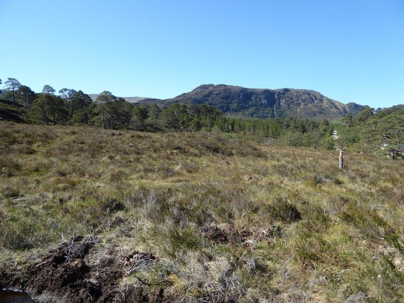
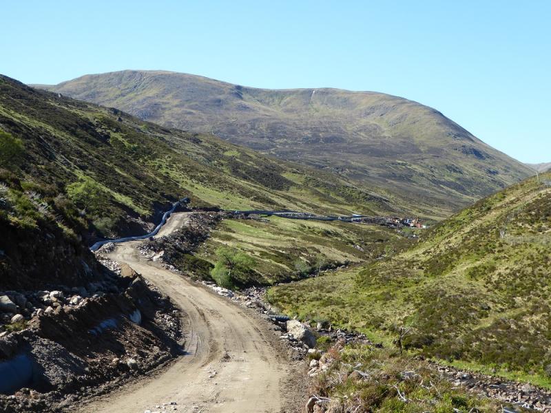
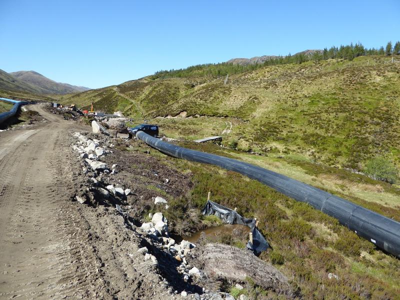
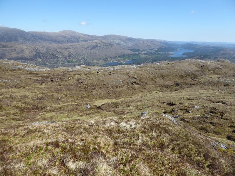
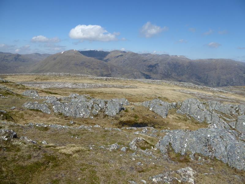
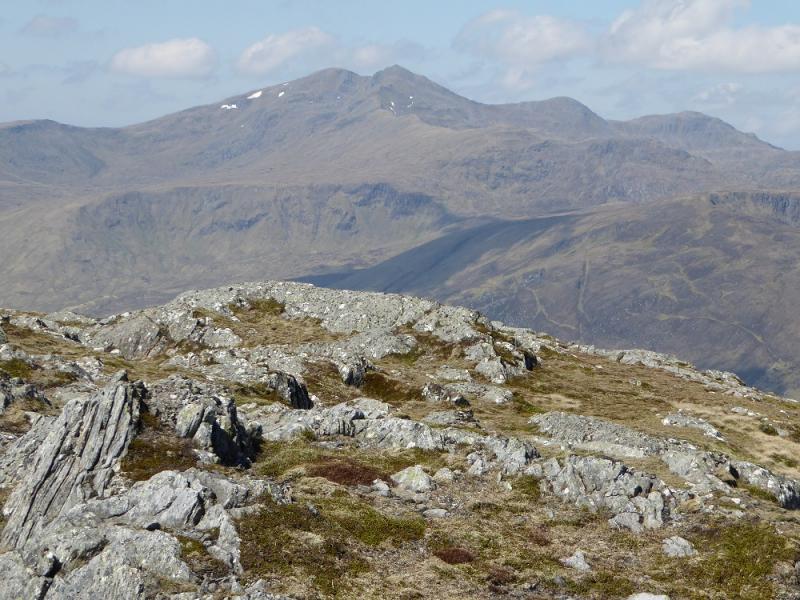
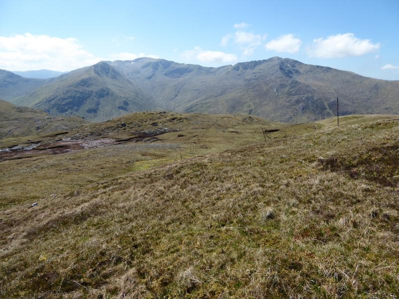
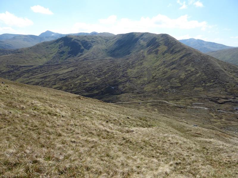
This is a tough walk with much of the route pathless. Since 2016, Glen Affic, once scenically beautiful has been badly scarred by ugly bulldozed hydro tracks and construction sites. Some tracks and paths which have survived over a hundred years have been wrecked by vehicles they were not designed for and some are now quite dangerous for walkers. This is all in the name of sustainable renewable energy. The truth is that it is about greedy landowners and equally greedy contractors making a financial killing irrespective of the damage they do to the landscape and we, the taxpayers, are paying to line their pockets. To add insult to injury, the contractors expect the public to give up their rights and fit in with their actions by hiding behind and manipulating the Health and Safety at Work Act. They, and they alone, are responsible for the safety of the public. On the south side, there is quite a major development around the path to Cougie with walkers being diverted through deep heather and bog. This walker ignores such diversions. The governments, both Scottish and UK, need to get a grip on what is going on in the Highlands before they are ruined forever by the rich and greedy. The hydro workers on the ground seem quite reasonable and helpful which is good as this route uses the new hydro road up the Allt Garbh. There are good views to Glen Affric Munros, A' Chralaig & Mullach Fraoch-chire, Sail Chaorainn and Sgurr nan Conbhairean. It might be possible to cycle the 4 -5 km to the bridge over the Allt Garbh.
Route
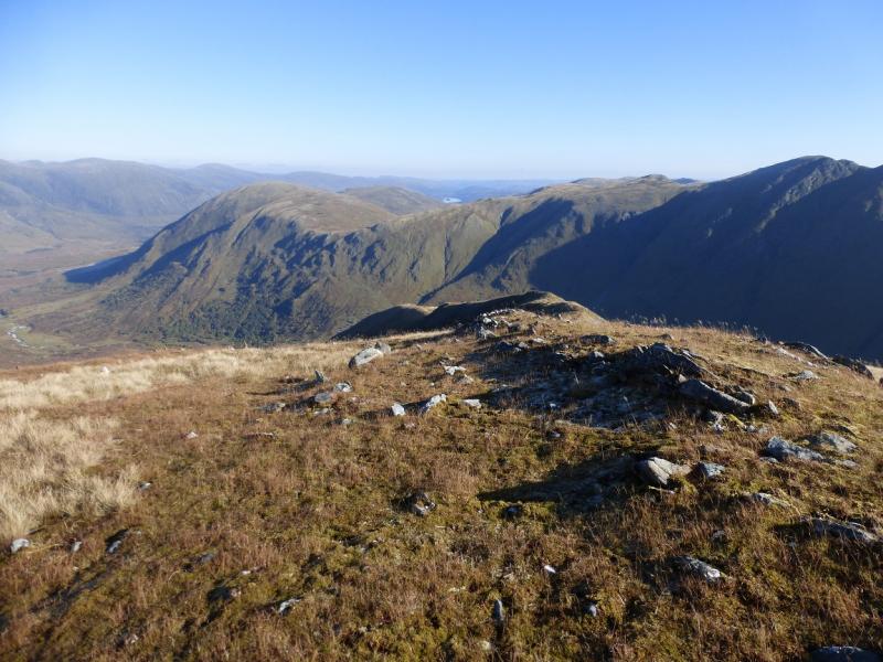
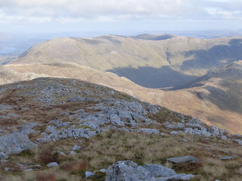
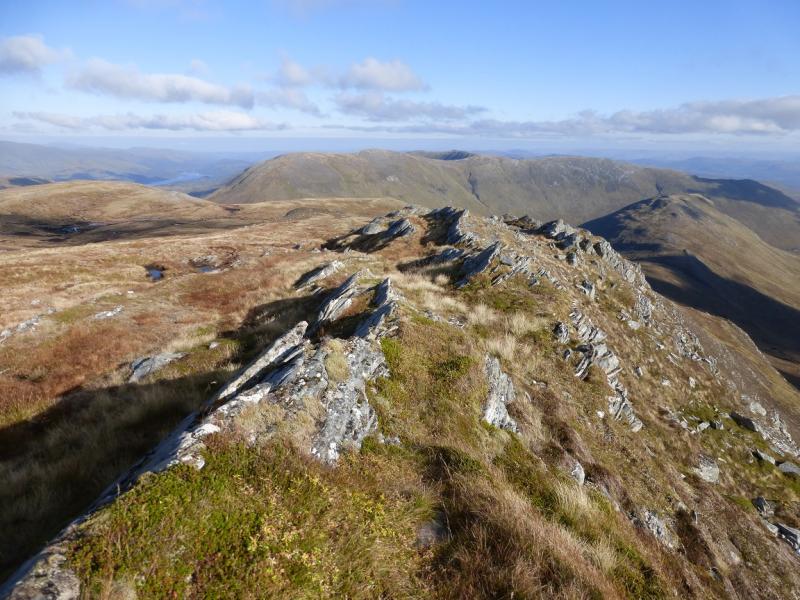
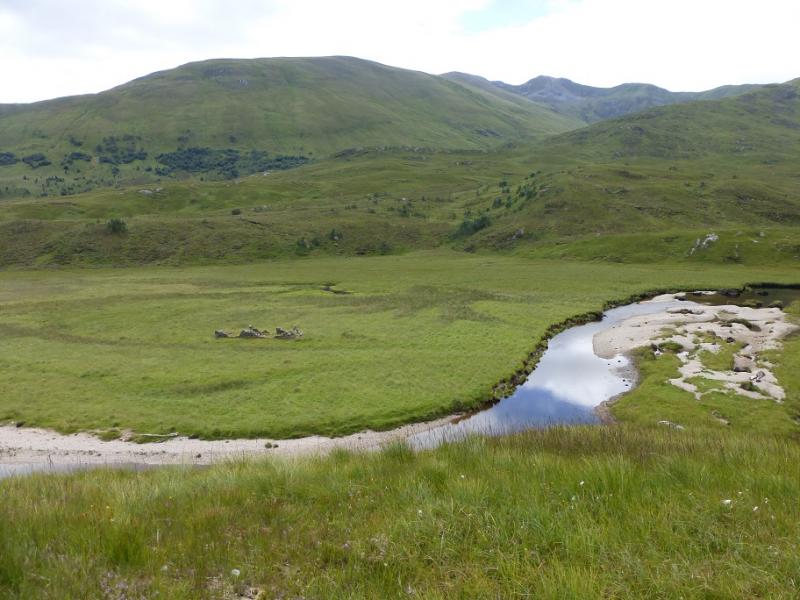
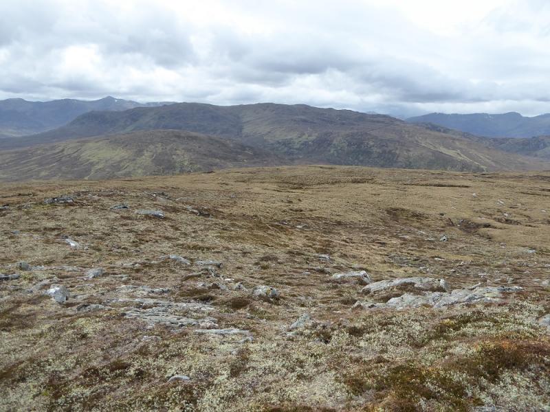
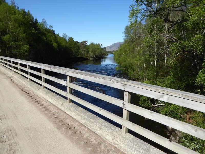
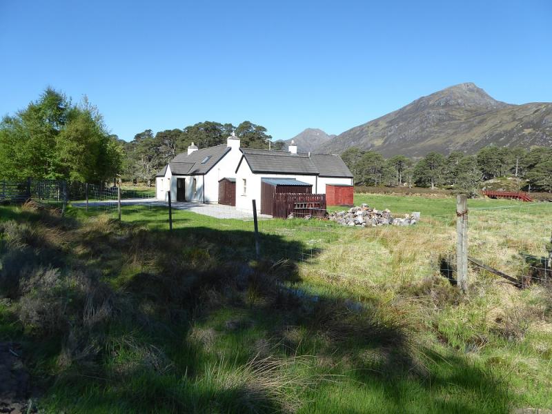
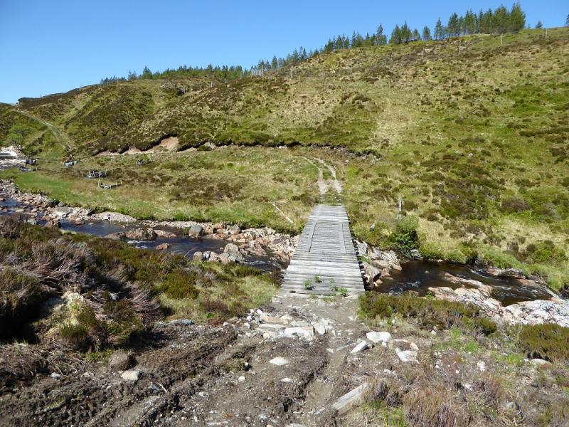
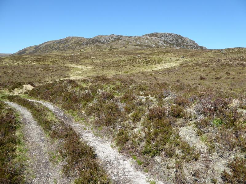
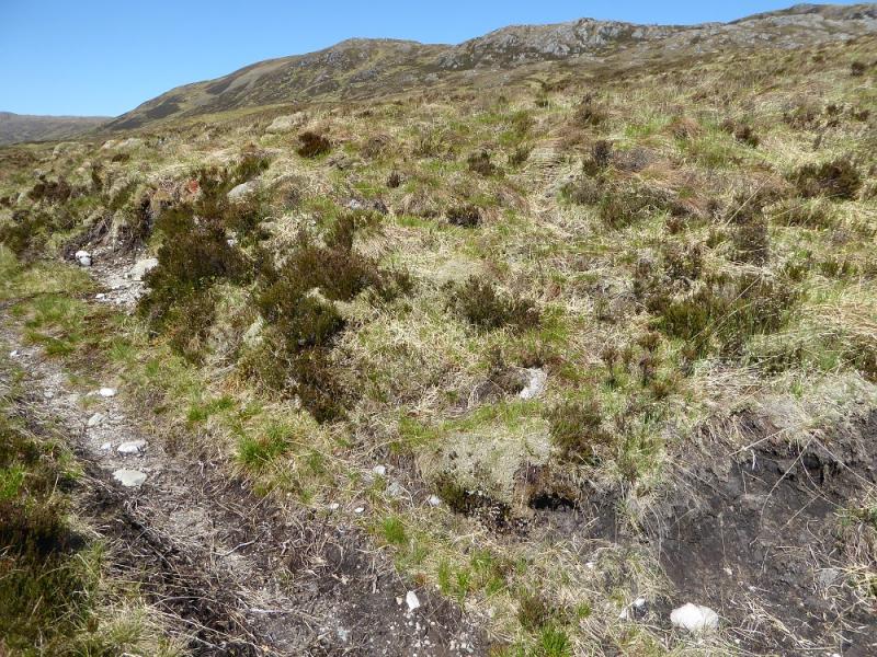
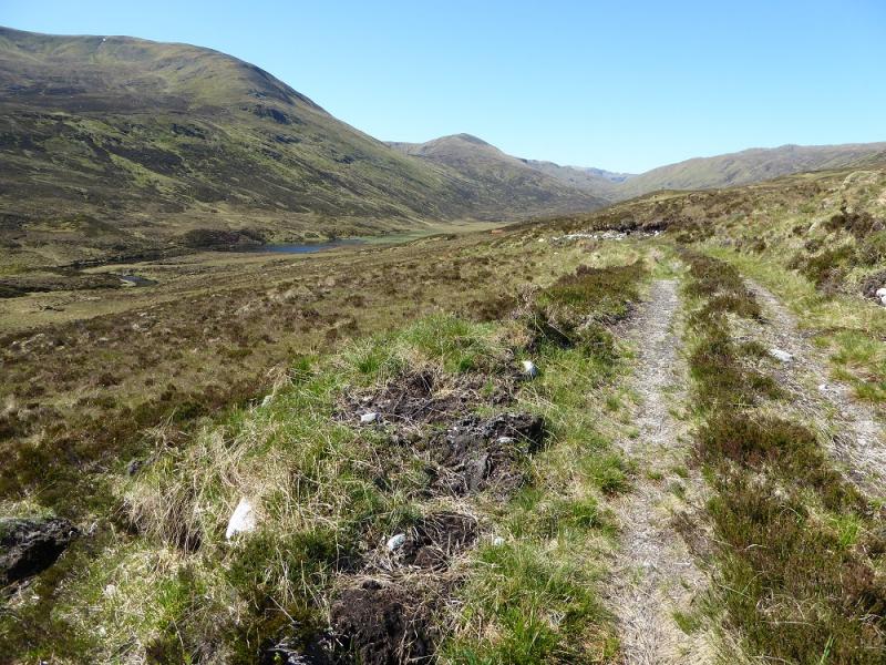
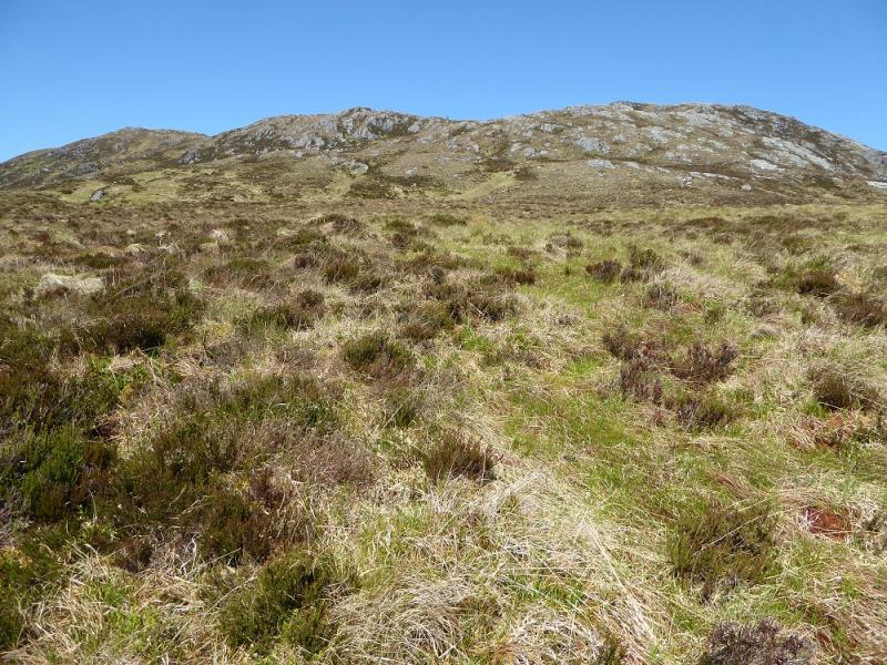
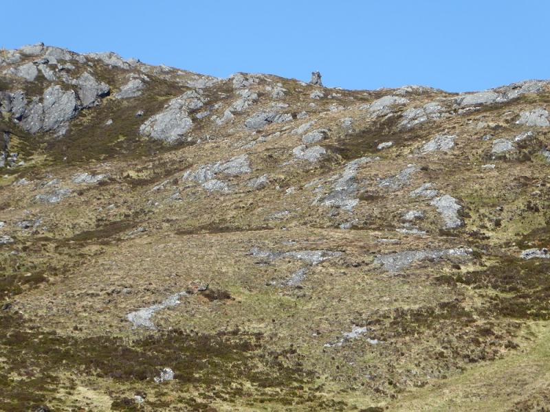
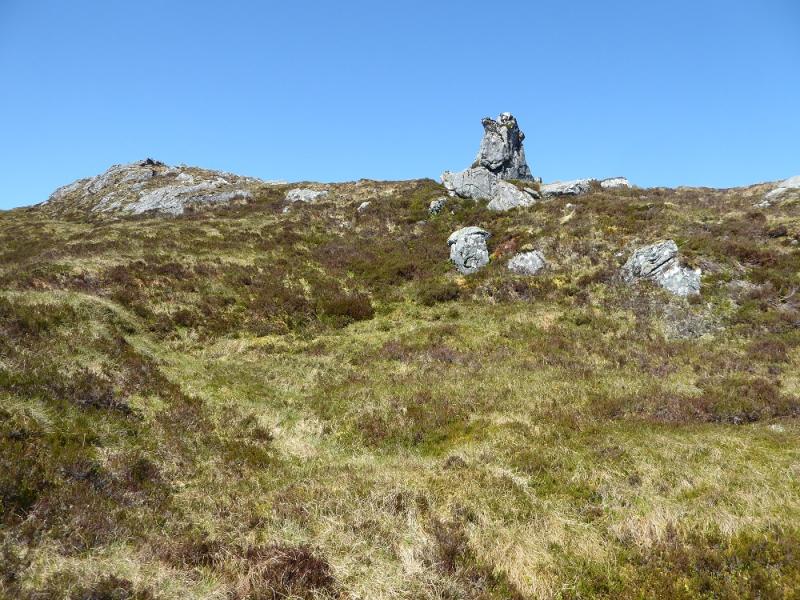
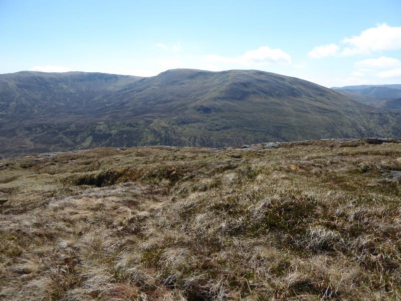
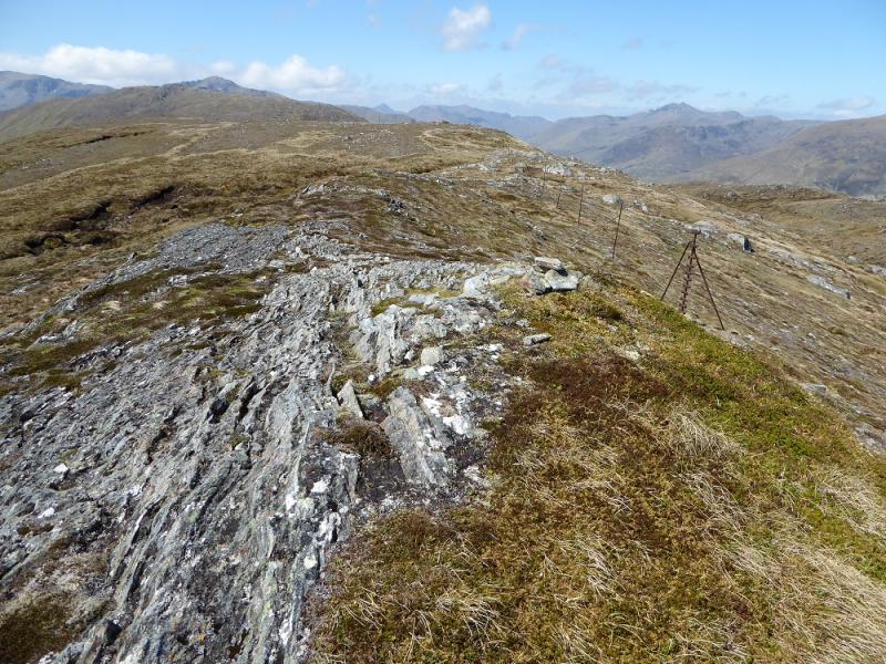
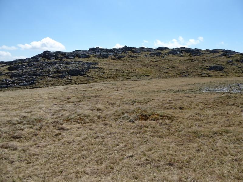
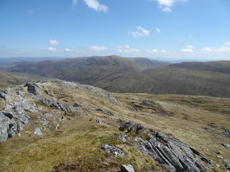
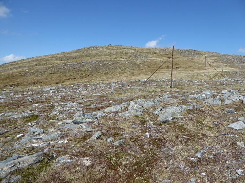
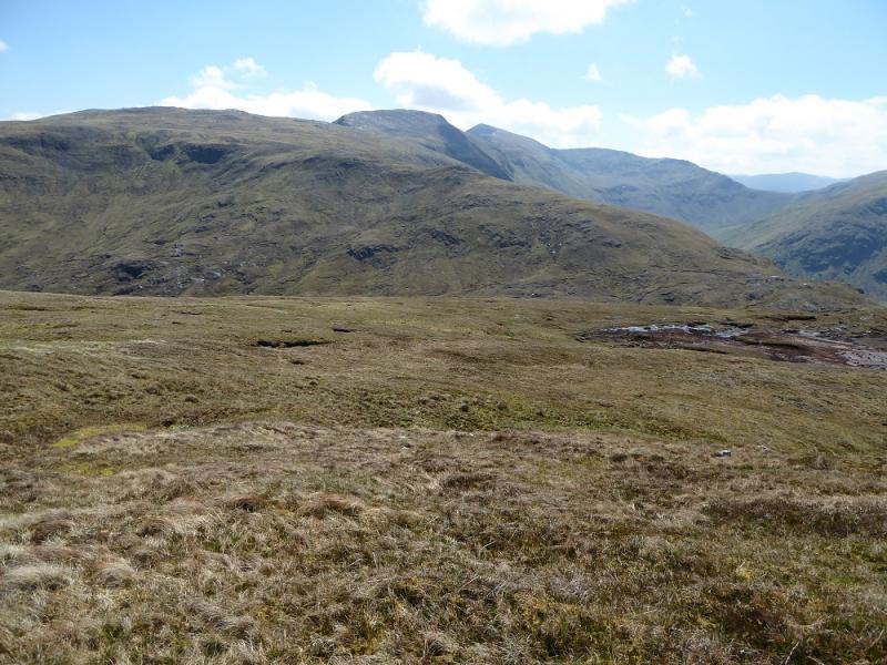
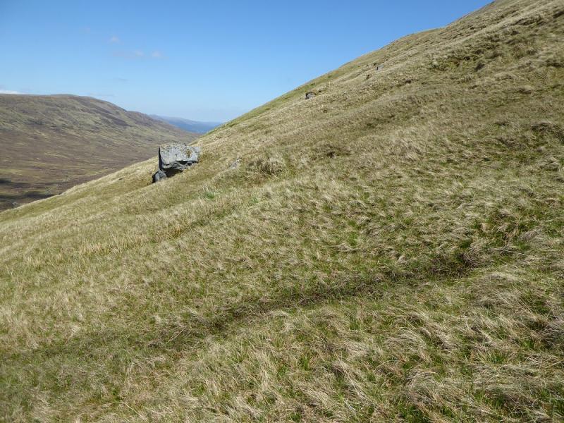
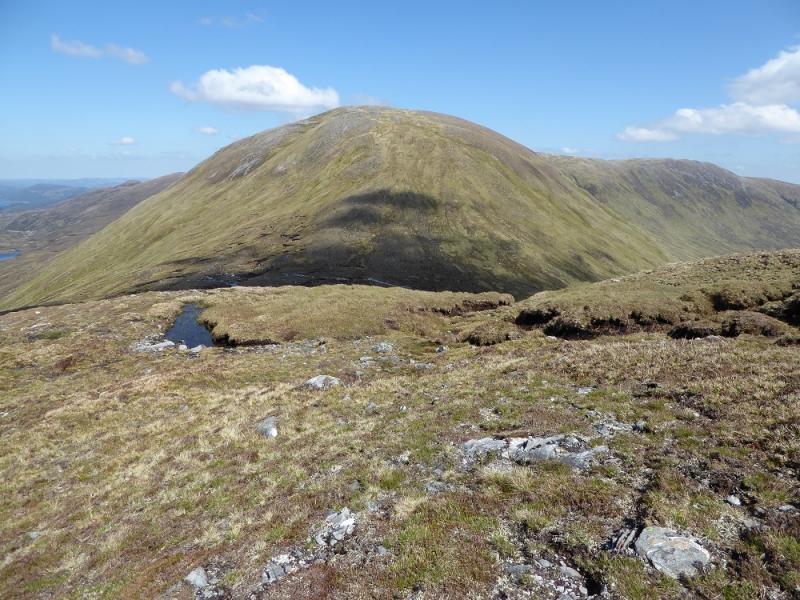
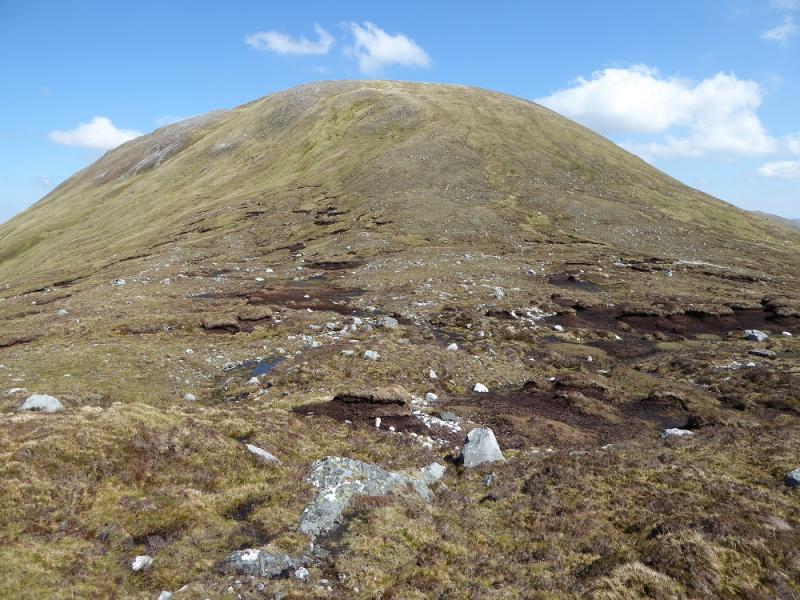
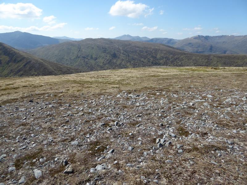
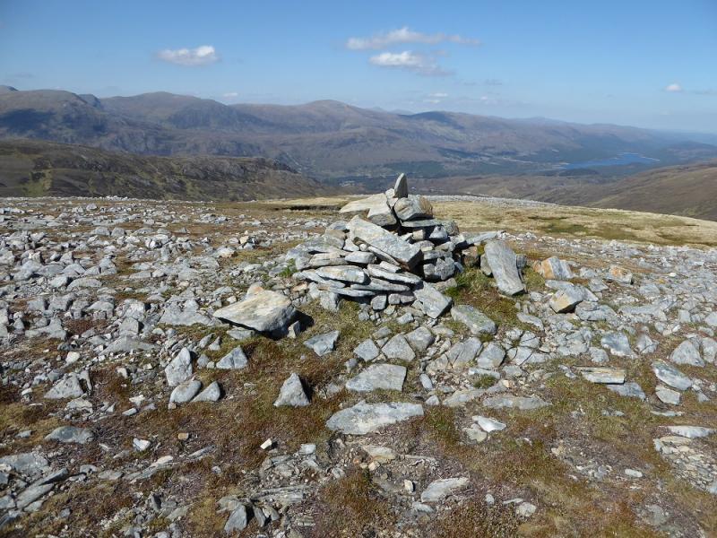
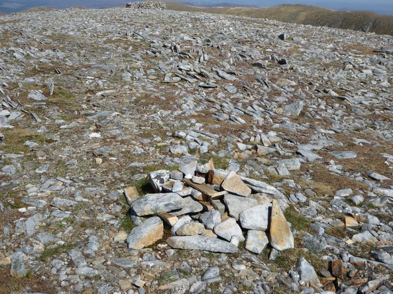
(1) Walk out of the car park back to the end of the road then follow the track between the continuation of the road and the car park. This soon crosses the river by a long bridge. Continue on this undulating track for about 2 km to pass a white cottage. Shortly after, pass the old sign for the footpath to Cougie then take the hydro road going up to the left. Follow this up for over 2 km to the only bridge over the Allt Garbh which is where the old track has survived. Cross the bridge carefully as alternate planks are missing and thin people could fall through! Follow the track to its highest point just after the fence corner. Leave the track here, or at any point further on, and strike uphill for the obvious craggy skyline. As once gets closer, there is a distinctive natural pillar which can be aimed for. Reach that then head SW looking to follow some old iron fence posts which eventually lead up close to the tiny cairn on the summit of Carn Glas Lochdarroch. Continue following the posts towards Carn a' Choire Ghairbh. They bypass the summit to the W so leave them and soon reach the medium cairn, on an outcrop, which is the summit of Carn a' Choire Ghairbh, 865 m.
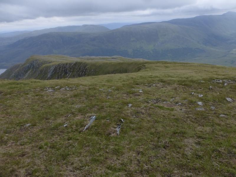
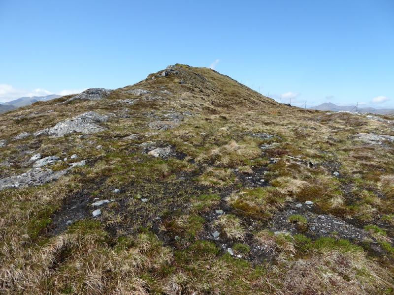
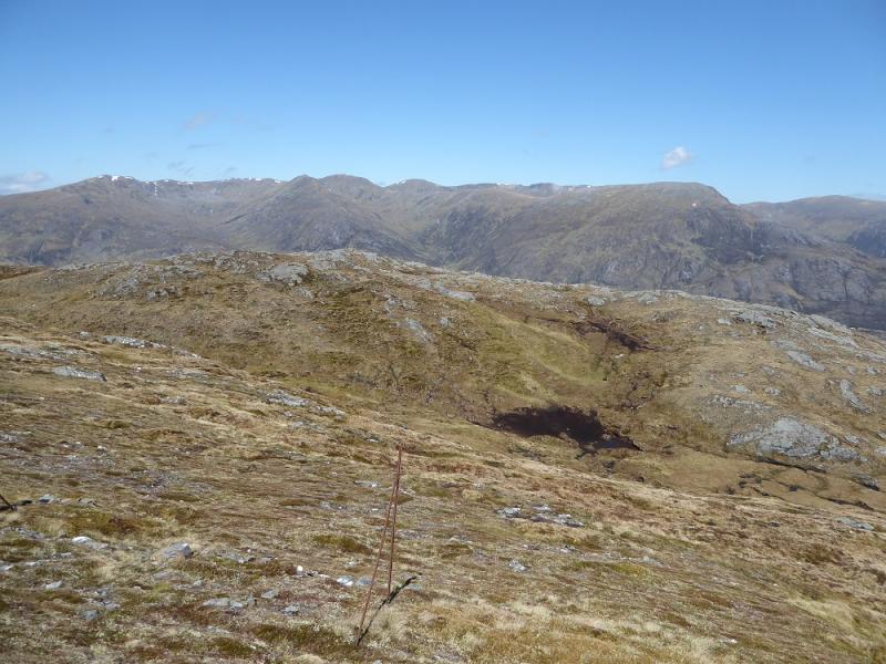
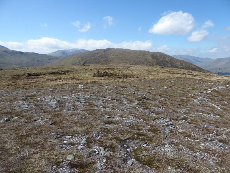
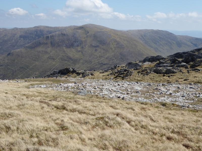
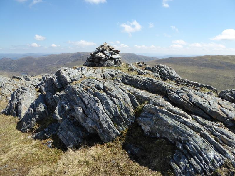
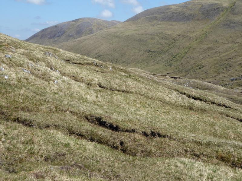
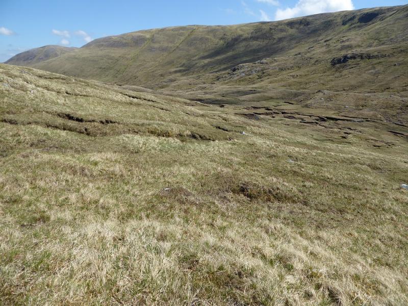
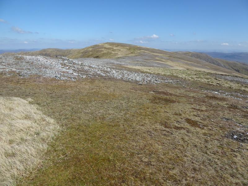
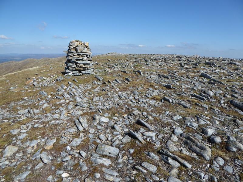
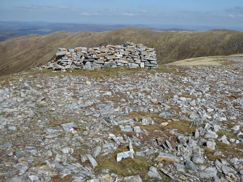
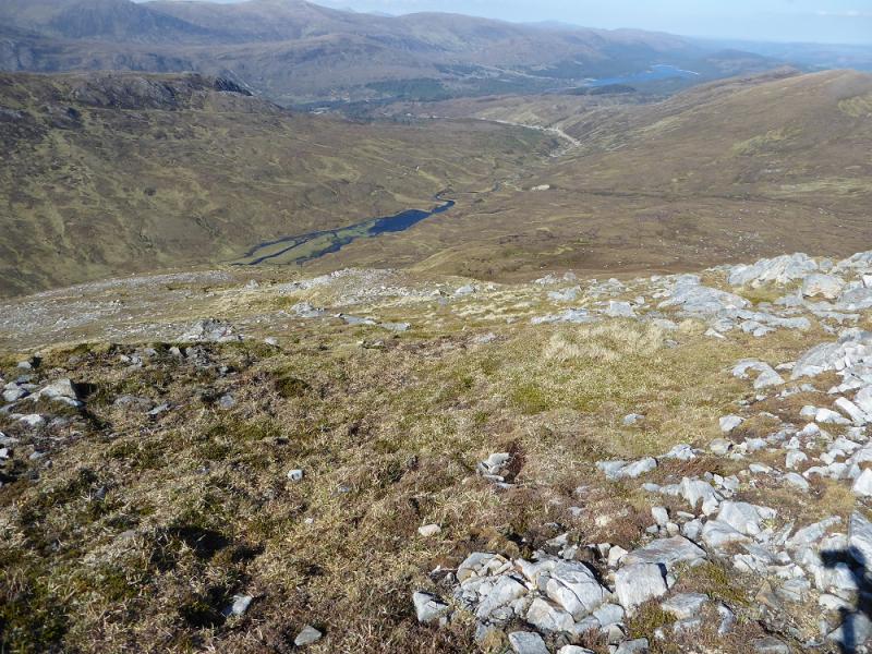
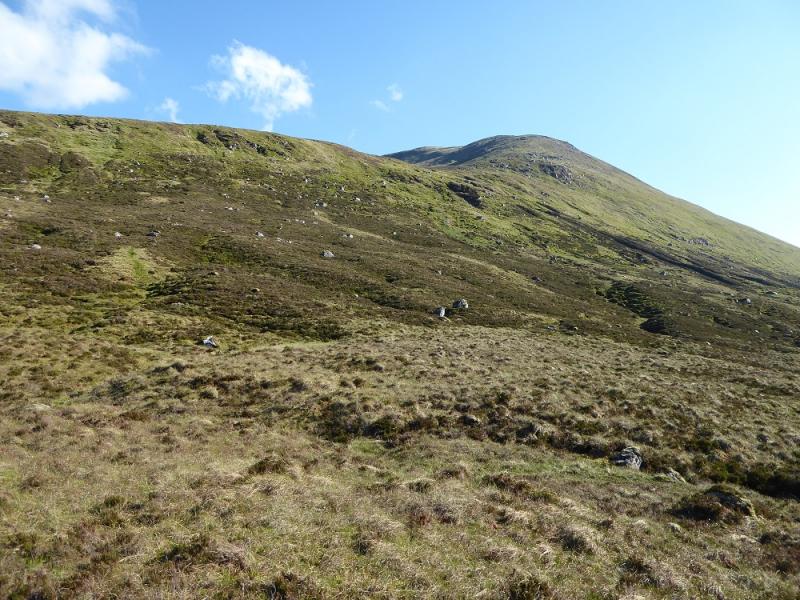
(2) Descend down the SSW ridge and rejoin the fence posts. In clear weather, keep looking for a faint traverse path below An Elric across the glen. Follow the fence posts down almost to the col then cut the corner and start heading across to where you think the traverse path starts. There is an isolated small boulder to aim for but the ground is very undulating and can be wet and boggy. Reach the faint traverse path and follow it towards the col between An Elric and Aonach Shasuinn. Try not to gain too much height as it will only have to be lost again. As the col is approached a large grassy groove forms. Walk through this and soon reach the col. Start ascending the steep grassy slopes. An isolated fence post can be aimed for initially. Continue up to reach the small cairn on the W Top. Go ESE for about 600 m, across a very shallow dip, to reach a tall pillar cairn. Close and higher is a small cairn which is the true summit of Aonach Shasuinn, 888 m. There is also a low shelter cairn close by.
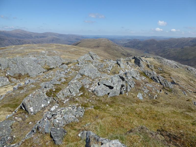
(3) Return to the W Top and descend its N ridge which is steep in places but fairly straightforward. Try to delay reaching the glen bottom for as long as possible as there is no path there and the ground is quite rough. Continue along the glen to reach the hydro road close to the bridge over the Allt Garbh then retrace the outward route.
Notes
(a) This walk took place on 25th May, 2017, and about 15 years previously.
(b) If you don't mind the driving, Dingwall Camping and Caravanning Club site is well placed for access to Glen Arric, Loch Mullardoch, Glen Strathfarrar, Strathconon, Ben Wyvis, Achnasheen, Kinlochewe. Fannaichs, Loch Glascarnoch, Beinn Dearg range and lower hills on the coast. The site is virtually midge free. It pays to be a member otherwise there are surcharges. There is an over 50's discount outside of the High Season. Electrical hook ups are possible for campers. Dingwall has a 24 hour Tesco as well as a Lidl. The nearest camp site to this walk is just to the east of Cannich on the road to Drumnadrochit. It is a very well equipped site but midges may be more of a problem in the summer than at Dingwall. Cannich is a small village with a pub and shop.
Photos - Hover over photo for caption. Click on to enlarge. Click on again to reduce.