Get Lost Mountaineering
You are here: Scotland » 12 Glen Cannich to Glen Carron » Glen Strathfarrar to Loch Monar
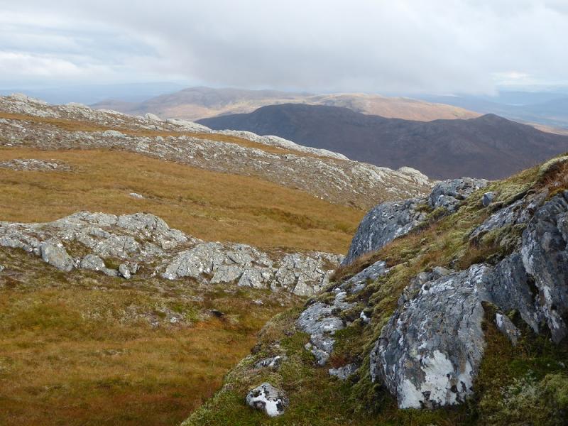
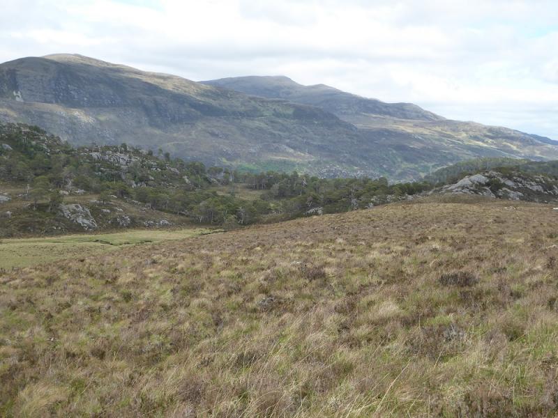
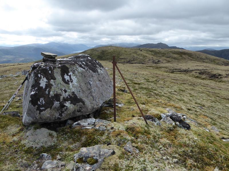
Carn Gorm from Glen Strathfarrar
Carn Gorm from Glen Strathfarrar
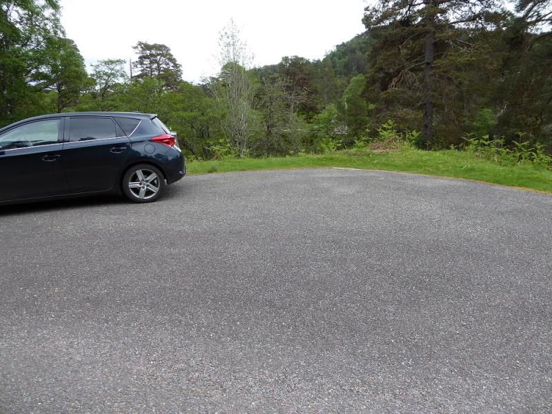
Start/Finish
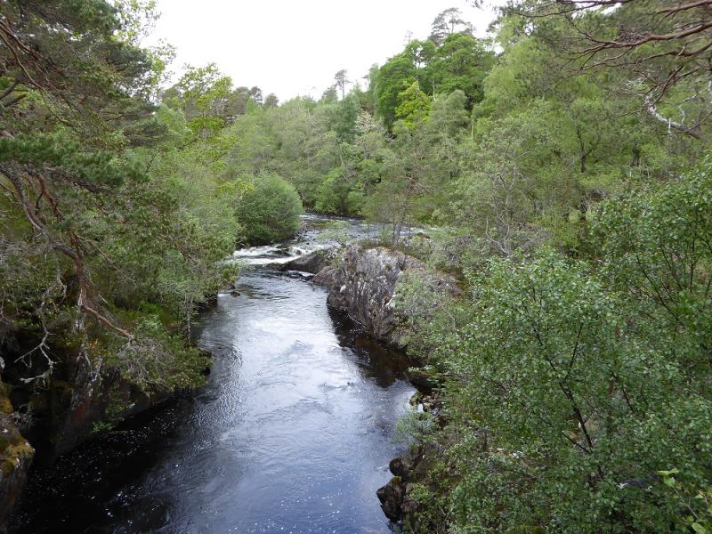
Deep tarmac parking area, holds about 3 cars, about 4.4 miles up the private tarmac road up Glen Strathfarrar which leaves the Strathglass road, between Cannich and Beauly, at Struy. The entrance to Glen Strathfarrar, where there is a locked gate at Inchmore, is only opened for cars between certain hours on certain days so this access needs checking beforehand. On 4/3/16, the glen was closed all day on Tuesdays and all morning on Wednesday so these are not good days to visit Glen Strathfarrar. The gate is kept closed when no cars are passing through and there is a limit on the number of cars allowed up the glen. There is a small car park before the gate for those wishing to cycle or walk up the glen. There seems to be no restriction on access on foot or by cycle although this should be checked beforehand. Being allowed to take a car up the glen saves about 9 miles of walking or cycling. Note that there is a closing time for the gate in the evening which varies according to the time of year so check when it is before going up the glen to be sure of getting back in time. As the parking area is approached, you may see the footbridge about 50 m back on the left of the road. The river becomes more twisting and rocky and there are two passing places in quick succession on the right just before the parking bay.
Distance/Time
13 km. About 6 hours.
Peaks
Carn Gorm, 677 m, NH 328 355. OS sheet 26: Inverness & Strathglass
Introduction
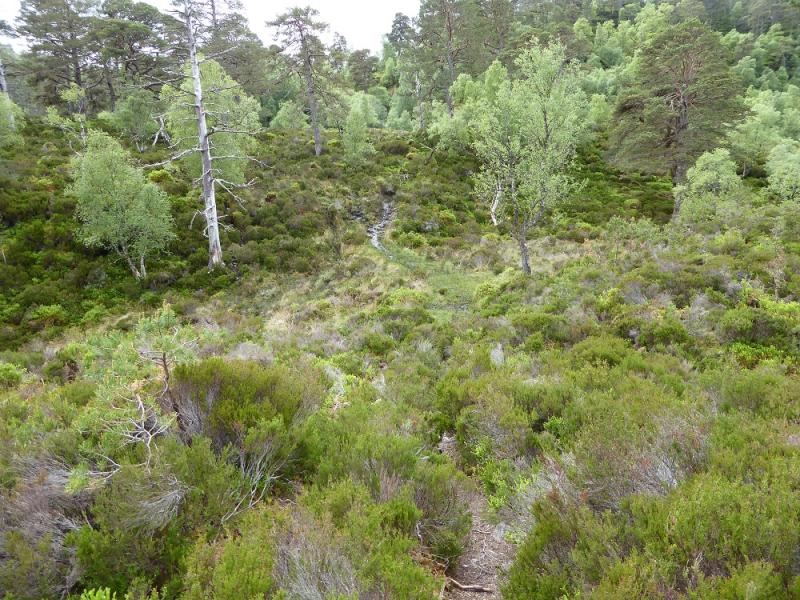
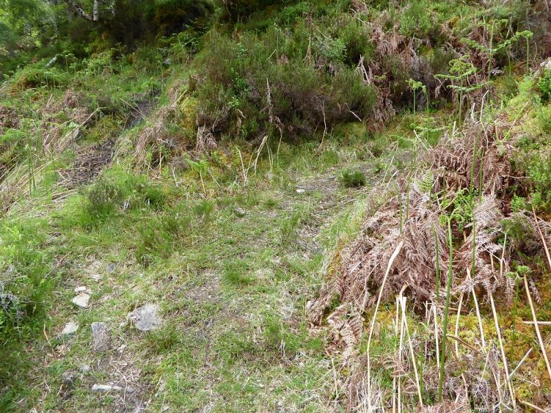
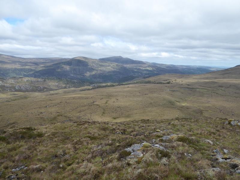
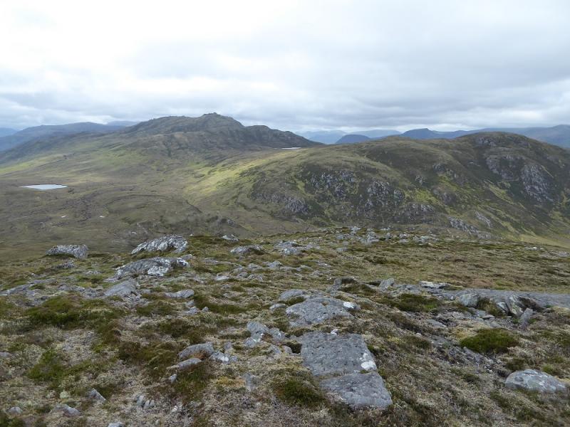
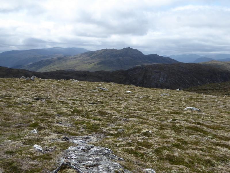
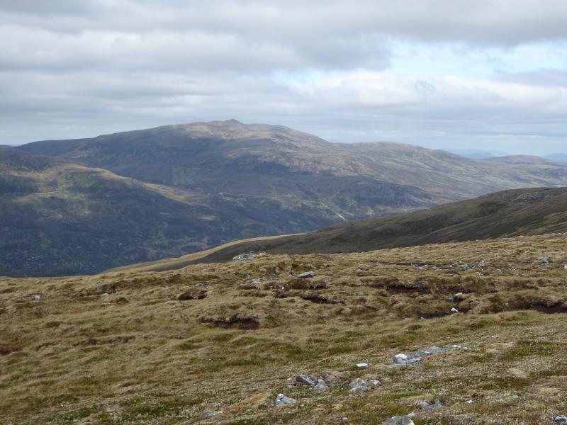
This hill has previously been climbed from Craskie, in Glen Cannich (Loch Mullardoch road), which is shorter and more direct but parking has been made more difficult in recent years so this route was tried instead. It is not a very exciting route nor is the hill itself. The path can be quite boggy even in an extended dry spell and once that is left, the ground is pathless, rough, tussocky and heathery. The views are effectively limited to Beinn a' Bha'ach Ard and Sgorr na Diollaid unless it is very clear. Unless you have to climb this hill, there are much nicer ones around.
Route
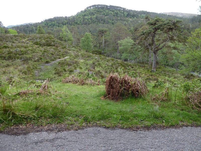
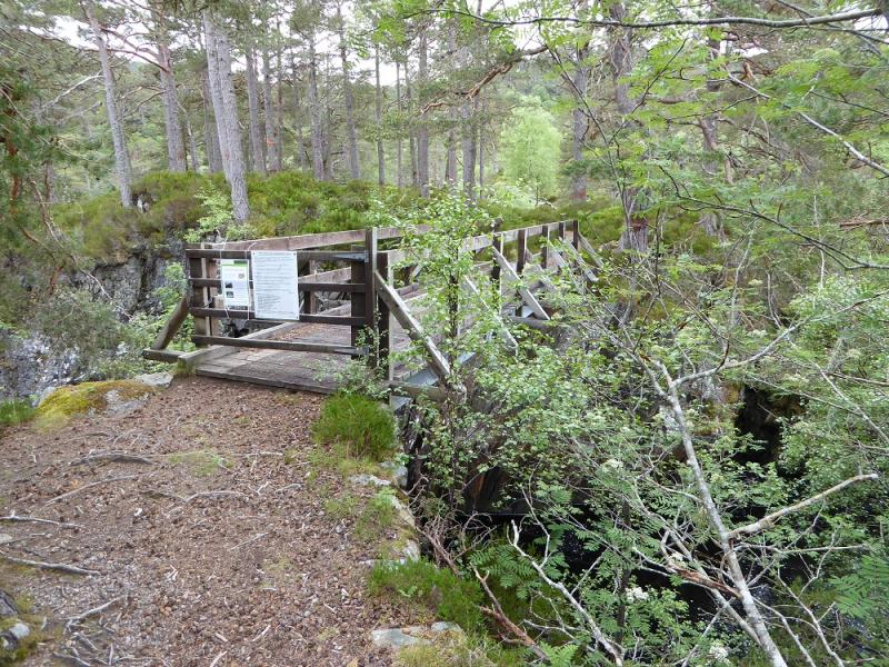
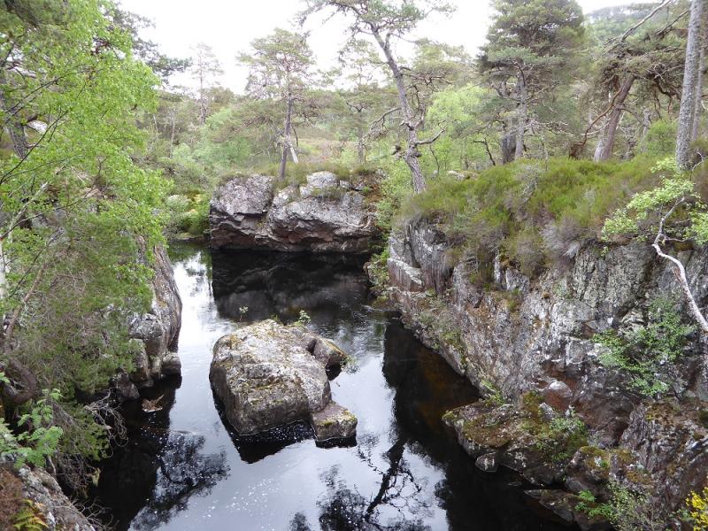
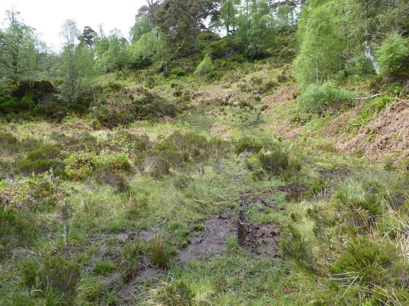
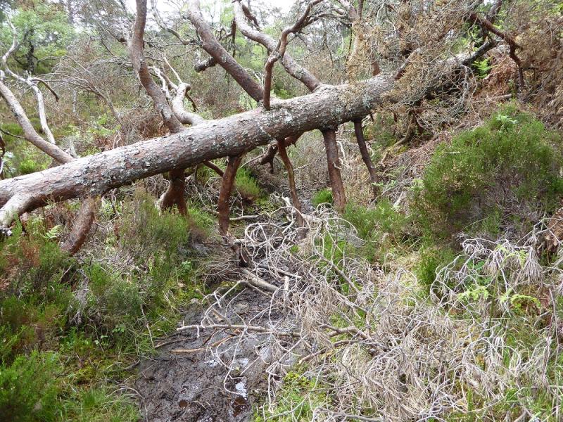
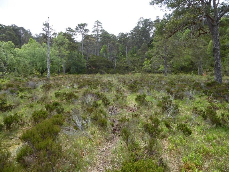
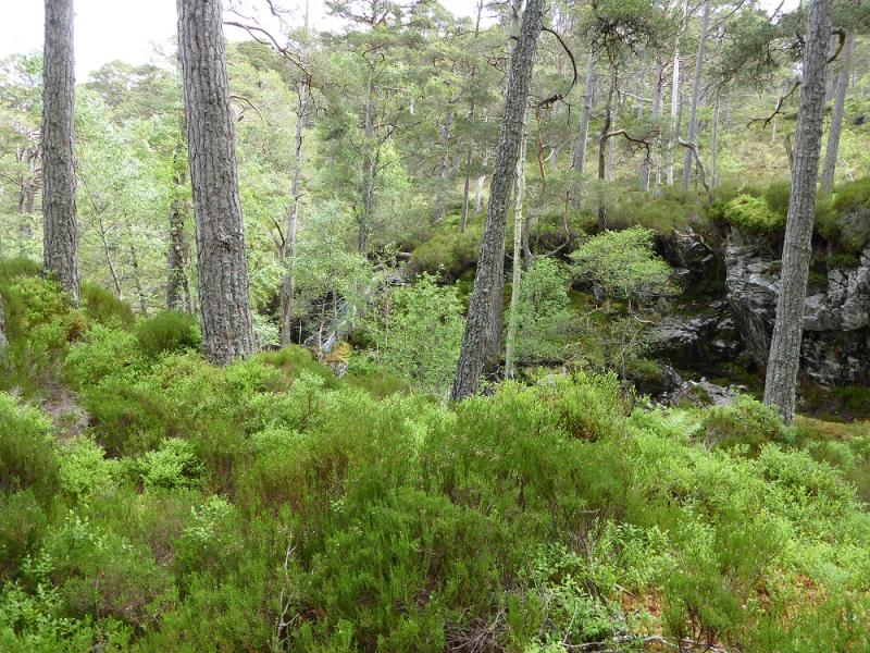
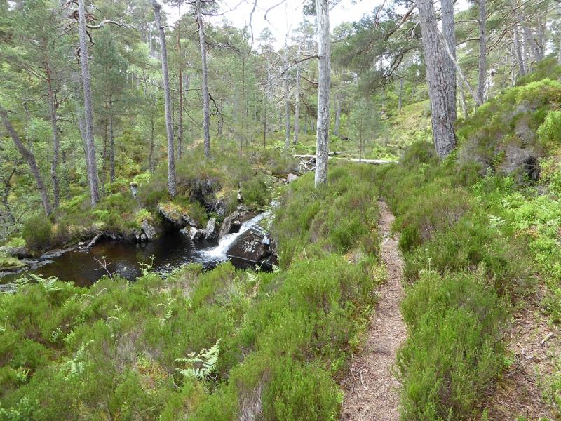
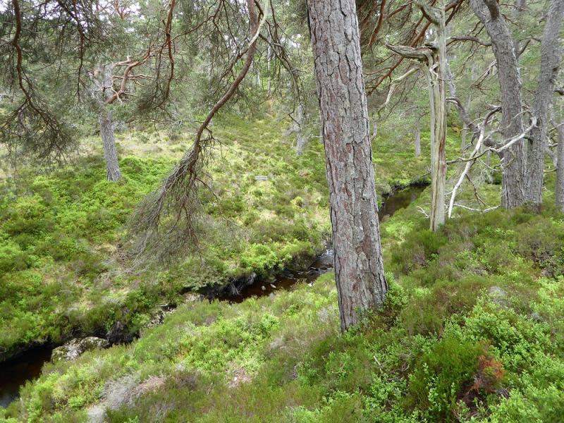
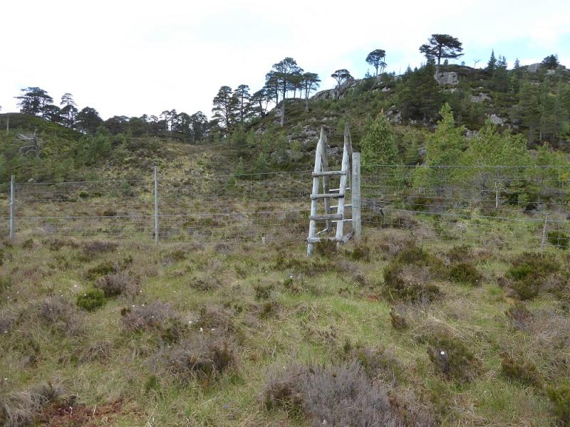
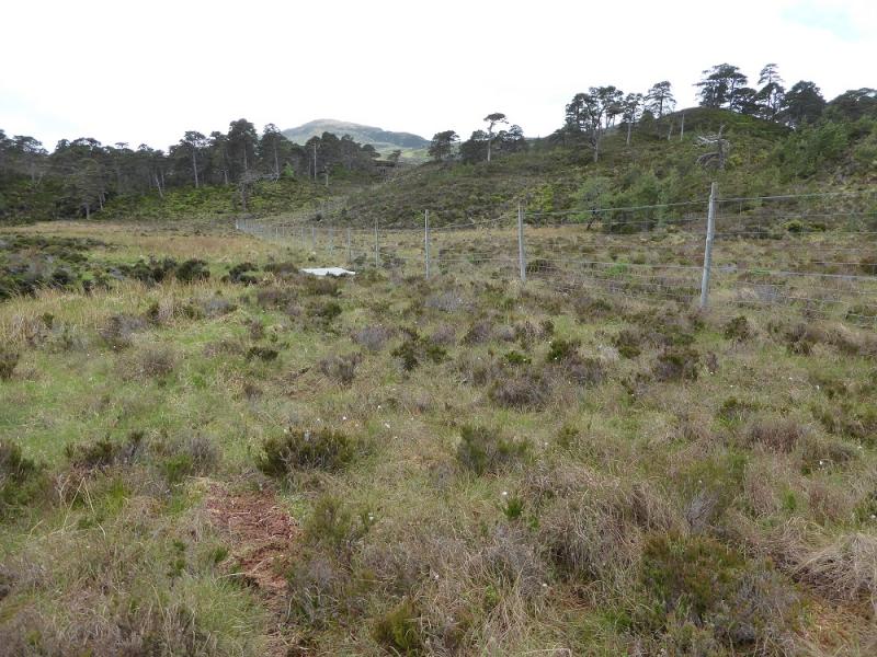
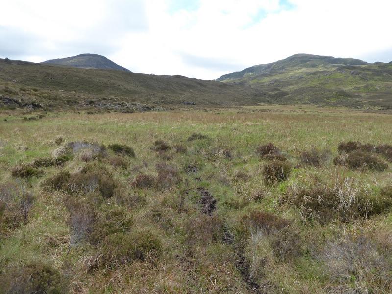
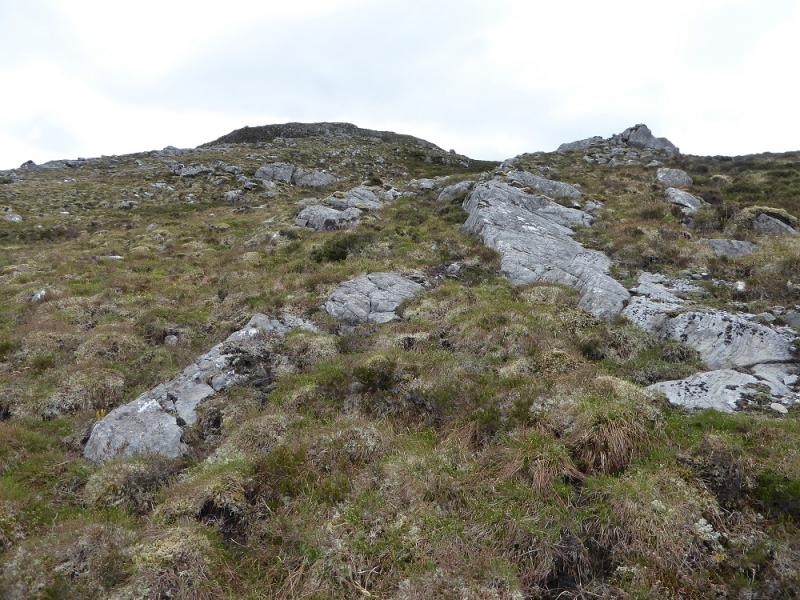
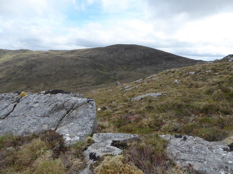
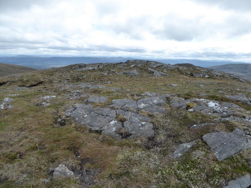
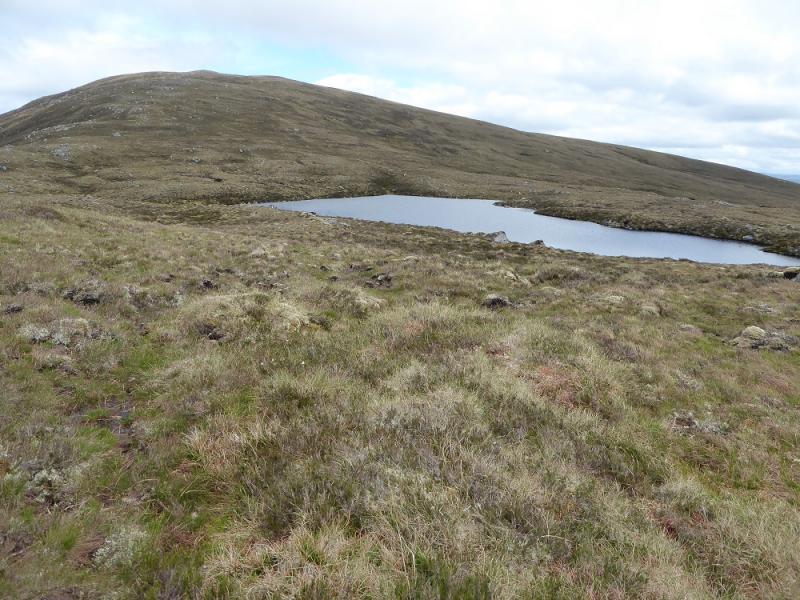
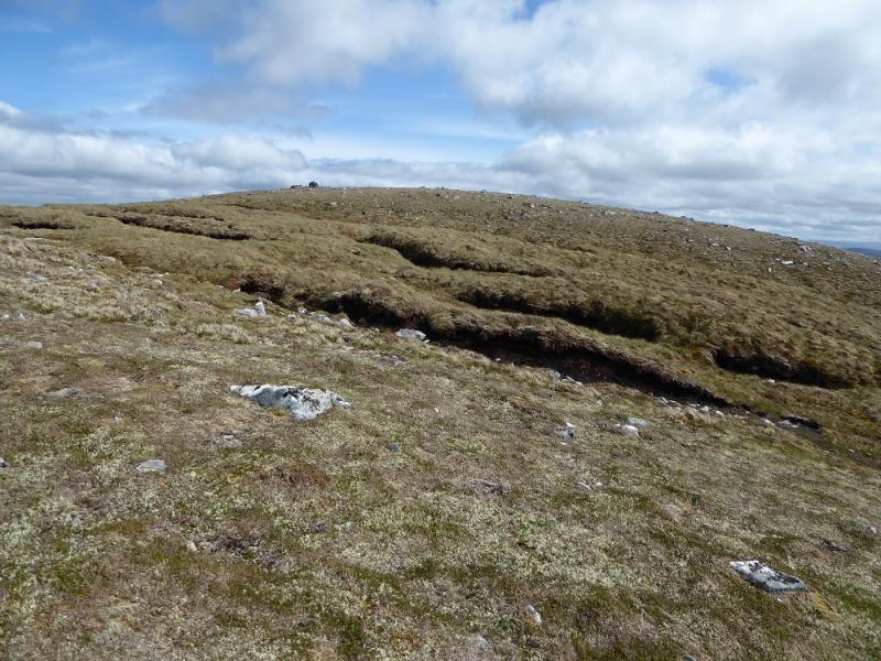
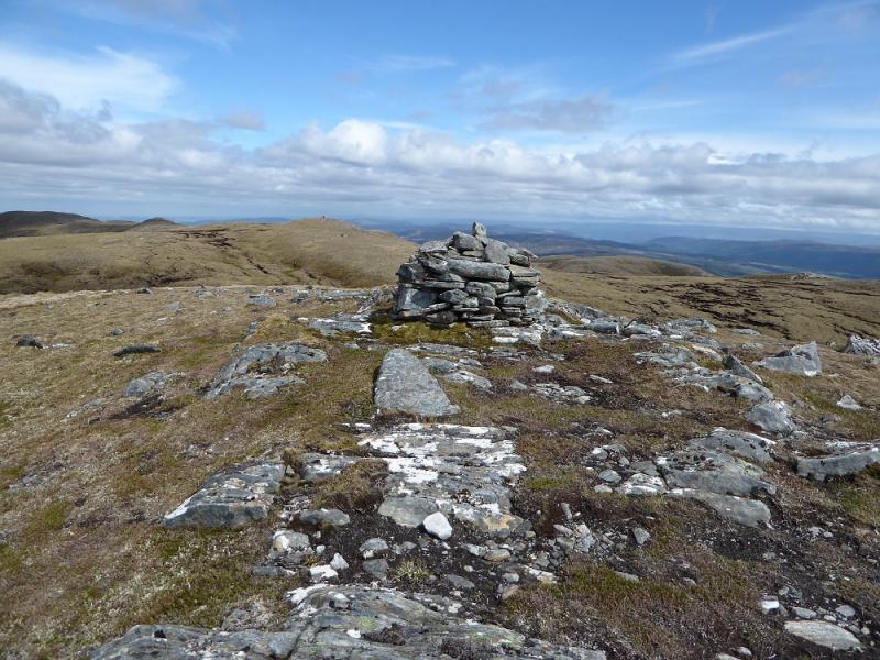
(1) Walk back along the road for about 100 m. About opposite the second passing place (from the parking bay), a grassy path heads towards the river and the footbridge across a gorge. The bridge over the River Farrar may not be visible from the road in summer but there is only one path. Follow the path to the footbridge and cross. The path is fairly obvious for a while but has some very wet mossy and boggy sections. It tends to wind its way up through old pine forest and heather. The path is faint in a few places as nature slowly reclaims it so be careful not to use it. On 28/5/17, a fallen tree was across the path but this is not too difficult to get past. Continue and, further on, the path joins a main tributary of the River Farrar and, roughly, follows it up passing a few small waterfalls. Curiously, there is a sign like an arrow on the opposite bank but no path can be seen. About 1.5 km from the start, the path reaches a clearing where there is a stile over a deer fence. Do not cross the stile but follow the fence left and soon leave the trees behind and reach flatter and wetter ground. The stream continues towards the col between Sgorr na Ruadhraich (left) and Meall a' Mhadaidh (right). The latter is actually higher than Carn Gorm but is not a Graham because it is an outlier of the Corbett Sgorr na Diollaid and does not have sufficient drop on all sides to be classed as a separate Graham. The stream is now meandering considerably. Leave the path, now very faint, and make a rising traverse of the ridge on the left. This is rough, tussocky and pathless. Aim for the NNE ridge of Sgorr na Ruadhraich then start picking a way up that ridge, heading SSW. The top is flattish with various outcrops but there is no cairn. Descend S becoming E towards Loch Coir an Uillt Ghiubhais. Pass to the N of the loch then climb E up the W ridge of Carn Gorm. The ascent is easier than Sgorr na Ruadhraich and soon the top is reached where a medium cairn on a boulder marks the summit of Carn Gorm, 677 m. The next, E, Top may look higher but isn't but some may wish to visit it to be sure!
(2) Descend NW down grassy slopes which soon become tussocky and heathery. Aim to cross any streams high up if possible as they are like meandering ditches lower down. Aim to rejoin the outward path roughly where you left it and retrace back to the start.
Notes
(a) This walk took place on 28th May, 2017, and about 15 years previously from Craskie in Glen Cannich to the south.
(b) There is no real need to ascend Sgorr na Ruadhraich so one could seemingly traverse around its NNE ridge to reach the loch.
Photos - Hover over photo for caption. Click on to enlarge. Click on again to reduce.