Get Lost Mountaineering
You are here: Scotland » 11 Kintail and Glen Affric to Loch Ness » Glen Affric to Loch Duich
Beinn a' Mheadhoin from Chisholm Bridge, Glen Affric
Beinn a' Mheadhoin from Chisholm Bridge, Glen Affric
Start/Finish
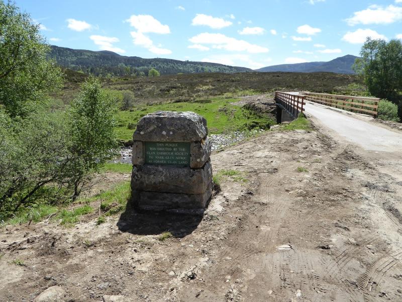
Parking near Chisholm Bridge about 9 miles up Glen Affric west of Cannich village up a fairly narrow road. Cannich can be reached from either Drumnadrochit or Beauly. Midges can be a problem in summer. There is a stone built cairn before the bridge which is labelled. In 2017, much hydro work was going on close by.
Distance/Time
6 km walk. About 2 – 3 hours.
Peaks
Beinn a' Mheadhoin, 610 m, NH 218 255. OS sheet 25: Glen Carron
Introduction
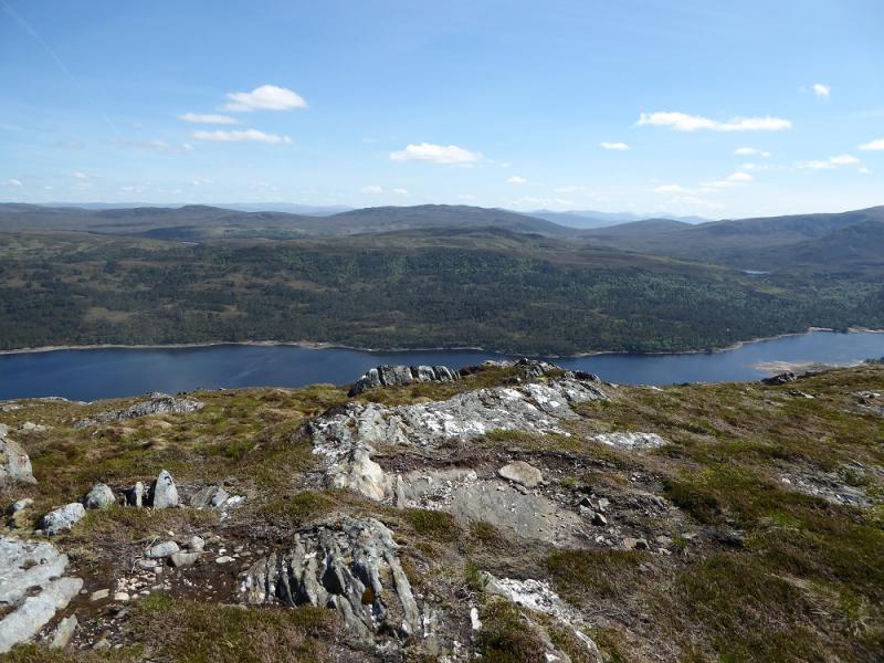
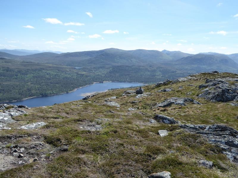
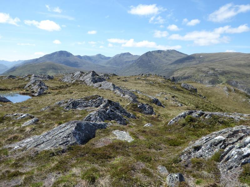
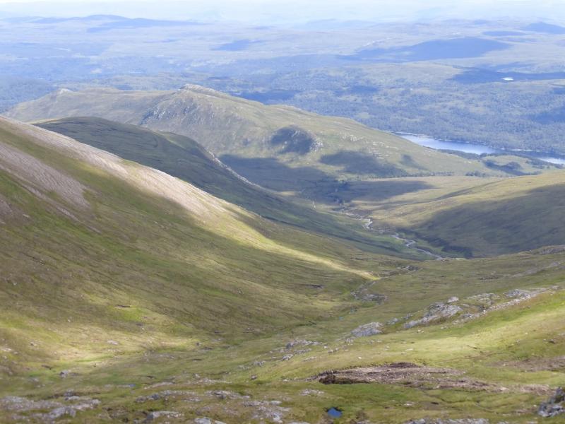
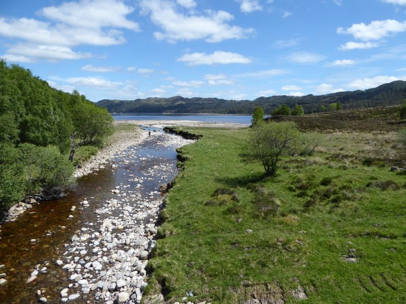
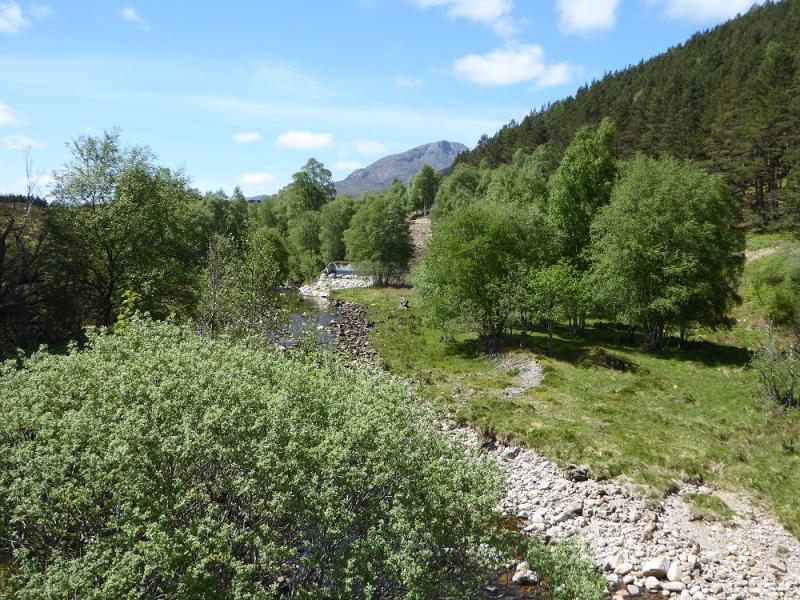
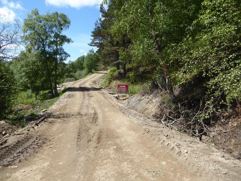
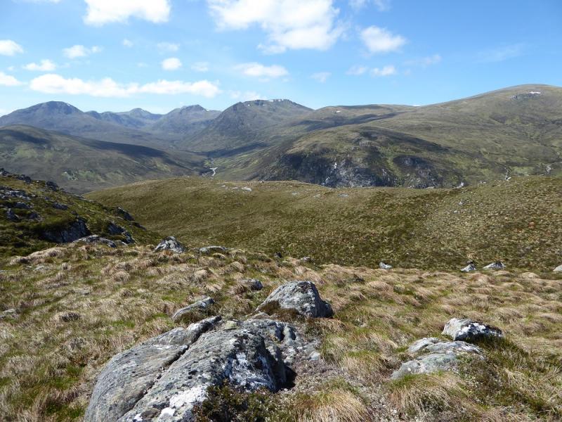
This is an easy walk even though many will not find a path. It is the only easy hill in Glen Affric! On a clear day, the views are excellent into the arc of high peaks which starts with Sgurr na Lapaich and curves around to include Mam Sodhail, Carn Eighe, Tom a' Choinnich and Toll Creagach plus several Munro tops. In 2016, Glen Affic, once scenically beautiful was badly scarred by ugly bulldozed hydro tracks and construction sites. Some tracks and path which have survived over a hundred years have been wrecked by vehicles they were not designed for and some are now quite dangerous for walkers. This is all in the name of sustainable renewable energy. The truth is that it is about greedy landowners and equally contractors making a financial killing irrespective of the damage they do to the landscape and we, the taxpayers, are paying to line their pockets. The governments, both Scottish and UK, need to get a grip on what is going on in the Highlands before they are ruined forever by the rich and greedy.
Route
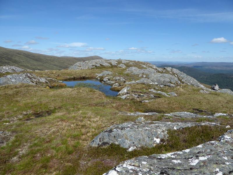
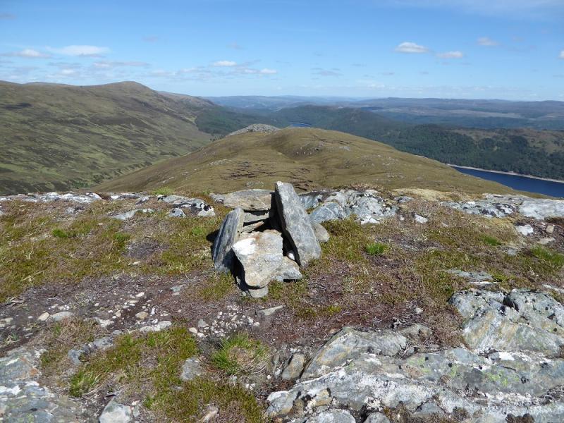
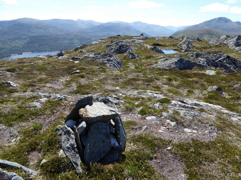
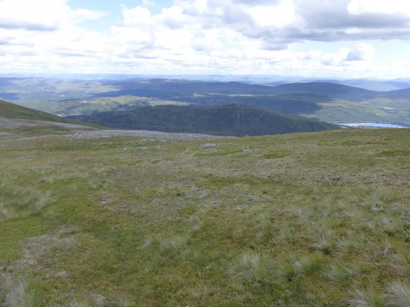
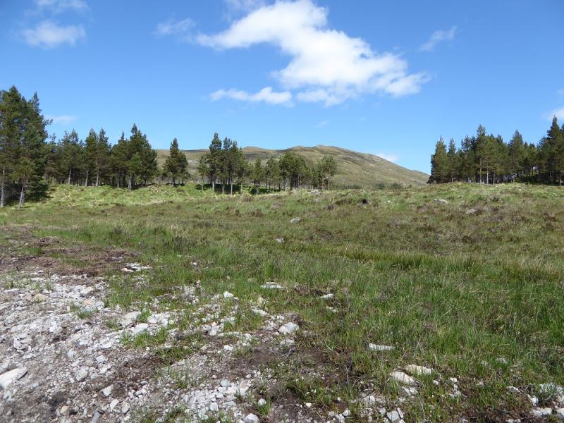
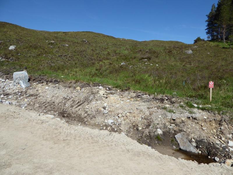
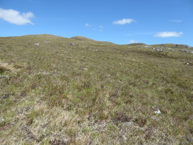
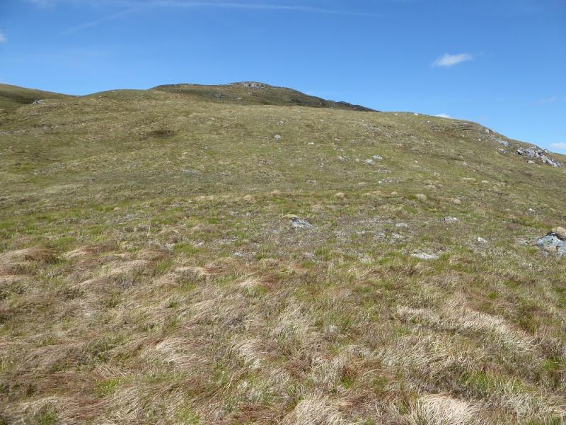
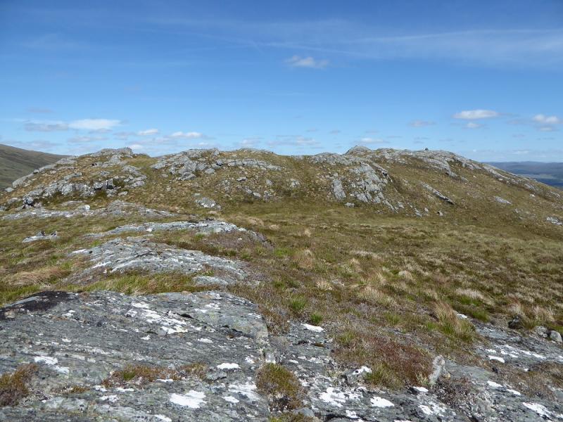
(1) Walk up the track going W then N from Chisholm bridge. This track has been widened into a hydro road as construction is taking place further up the track. Follow the track for about 1 km. The wood on the left becomes a clearing then there is a little more scattered wood before it ends in a line of trees at right angles to the track. There is a sensitive area sign with a boulder about 10 m to the left which, on 31/5/17, had a tiny cairn on it. The faint path starts here and isn't obvious. Ascend roughly ENE trying to keep to the path which is more distinct in places. If you lose it, the ground isn't too bad. Higher up, the path is on the left of a green corridor which looks like a very shallow gully. Continue up. As the summit is neared, a substantial cairn will be seen. Reach this. It is not the summit which is about 50 m further and a much smaller cairn. There is a very shallow dip, about 3 m, between the two tops.
(2) Retrace the outward route which gives much better views than any other descent route.
Notes
(a) This walk took place on 31st May,2017, and about 15 years earlier.
(b) If you don't mind the driving, Dingwall Camping and Caravanning Club site is well placed for access to Glen Arric, Loch Mullardoch, Glen Strathfarrar, Strathconon, Ben Wyvis, Achnasheen, Kinlochewe. Fannaichs, Loch Glascarnoch, Beinn Dearg range and lower hills on the coast. The site is virtually midge free. It pays to be a member otherwise there are surcharges. There is an over 50's discount outside of the High Season. Electrical hook ups are possible for campers. Dingwall has a 24 hour Tesco as well as a Lidl. The nearest camp site to this walk is just to the east of Cannich on the road to Drumnadrochit. It is a very well equipped site but midges may be more of a problem in the summer than at Dingwall. Cannich is a small village with a pub and shop.
Photos - Hover over photo for caption. Click on to enlarge. Click on again to reduce.
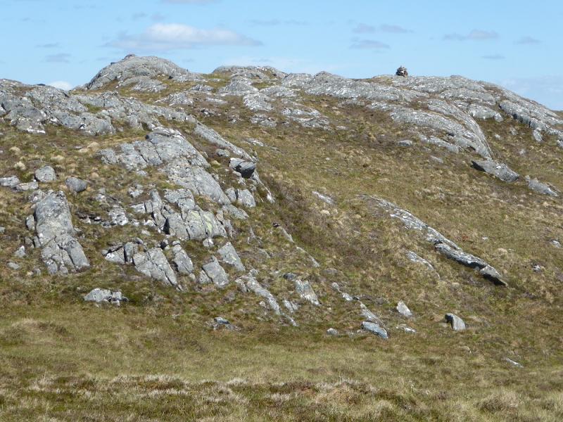
 and lower (R) summit cairns on Beinn a' Mheadhoin.JPG)