Get Lost Mountaineering
You are here: Scotland » 16 Coigach to the Pentland Firth » Lairg to Laxford Bridge to Tongue
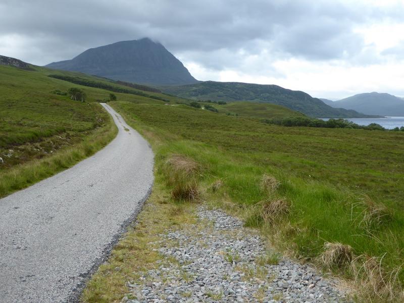
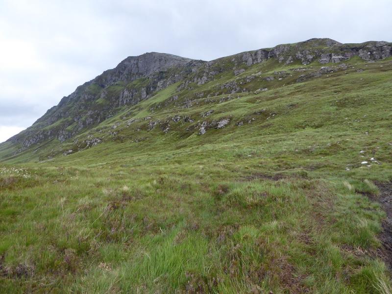
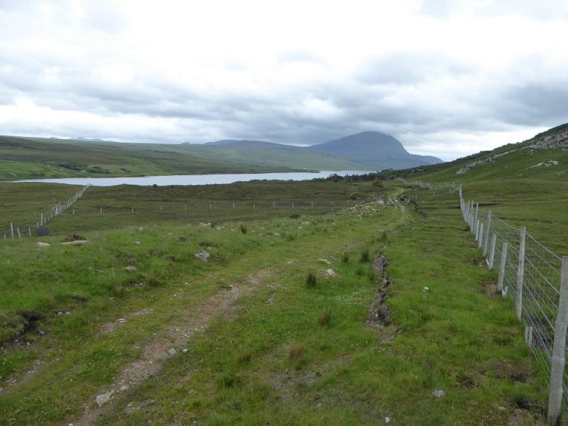
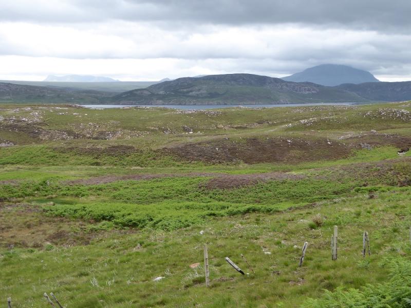
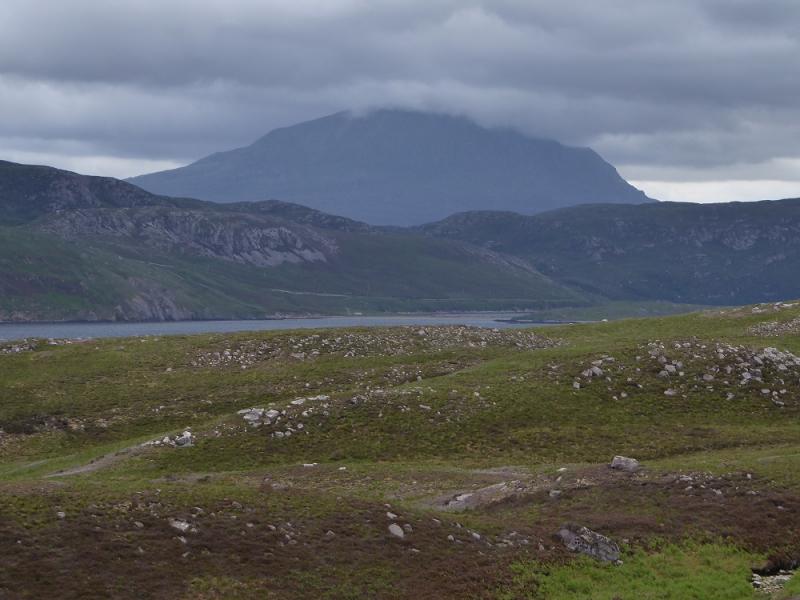
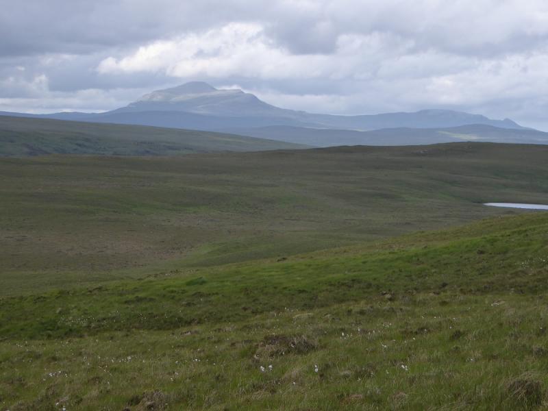
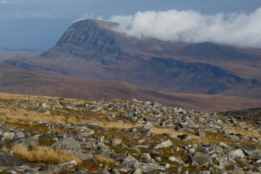
Ben Hope from Strath More
Ben Hope from Strath More
Start/Finish
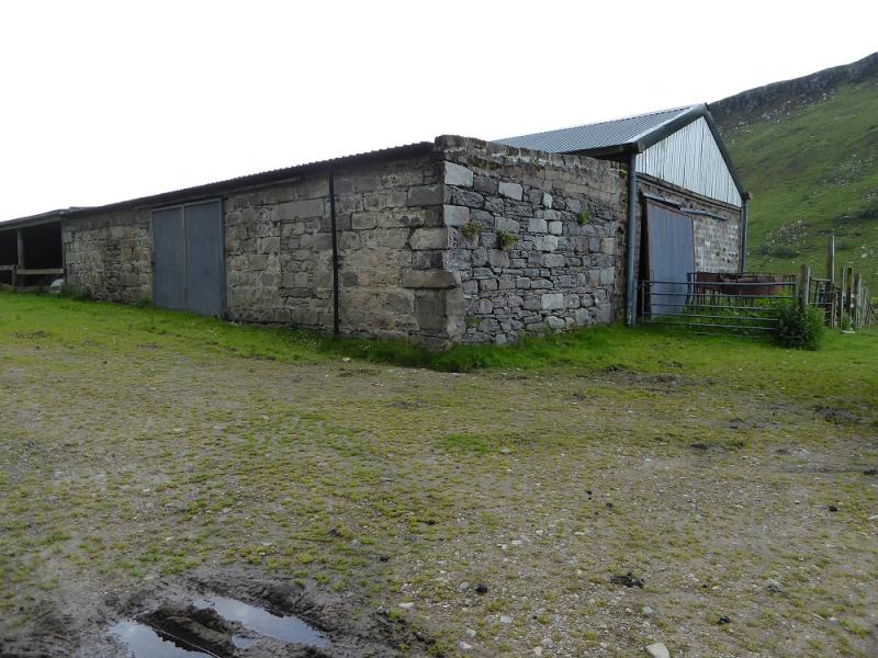
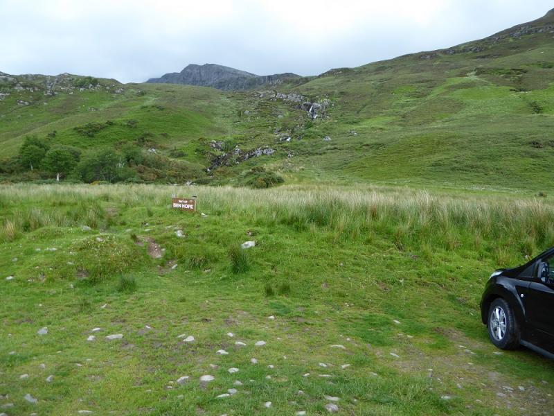
Parking area just S of bridge at NC 461 477 which is just S of a large barn shown on the OS map. This is about 7 miles south of the north coast road at Hope. This road is very narrow with few passing places especially in the woods!
Distance/Time
8 km. About 5 hours.
Peaks
Ben Hope, 927 m, NC 477 501. OS map 9: Cape Wrath
Introduction
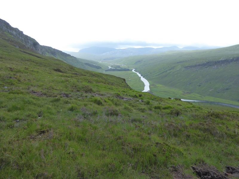
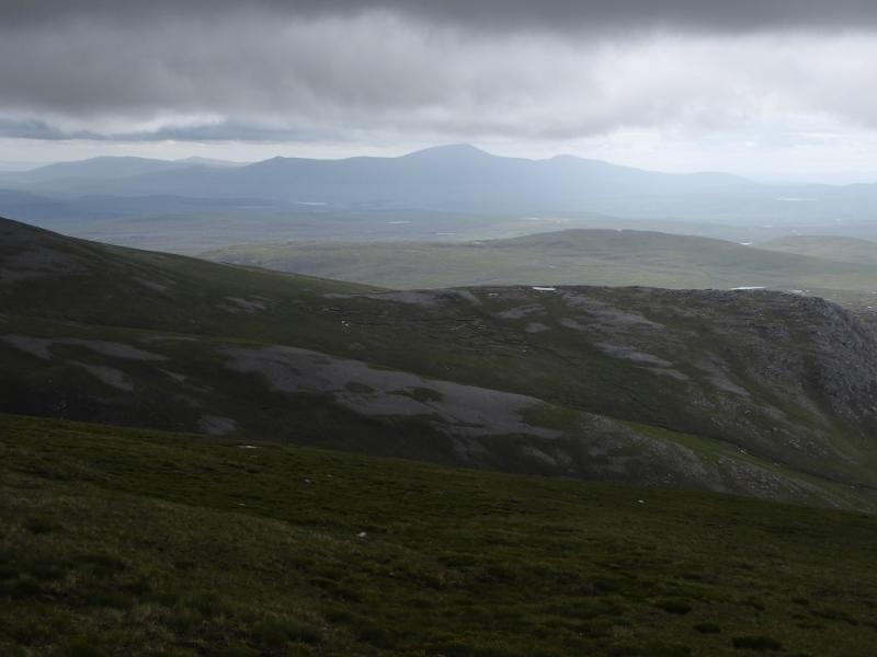
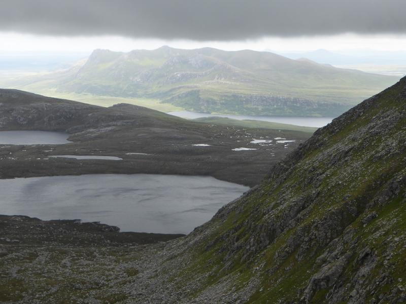
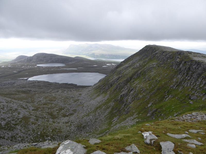
Ben Hope is the most northerly Munro and, on a clear day, has commanding views to the north coast but also east to Ben Loyal. It gives a short day on a fairly distinctive, but often boggy, path. The ascent is fairly unrelenting though with few gentle sections.
Route
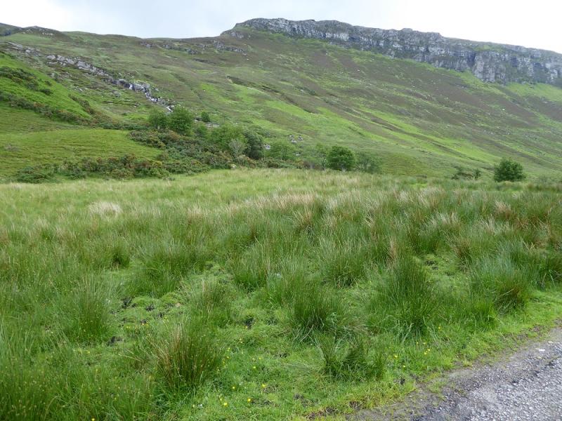
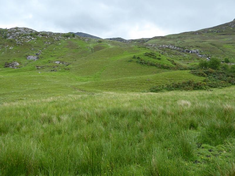
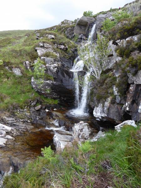
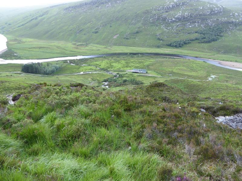
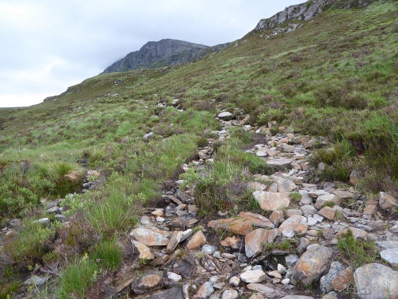
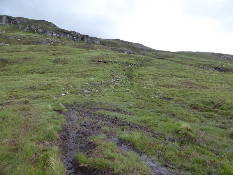
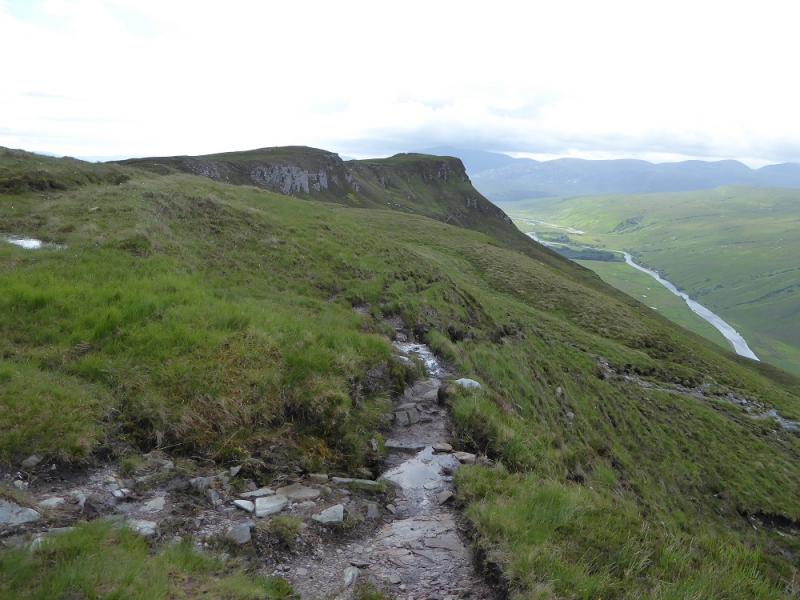
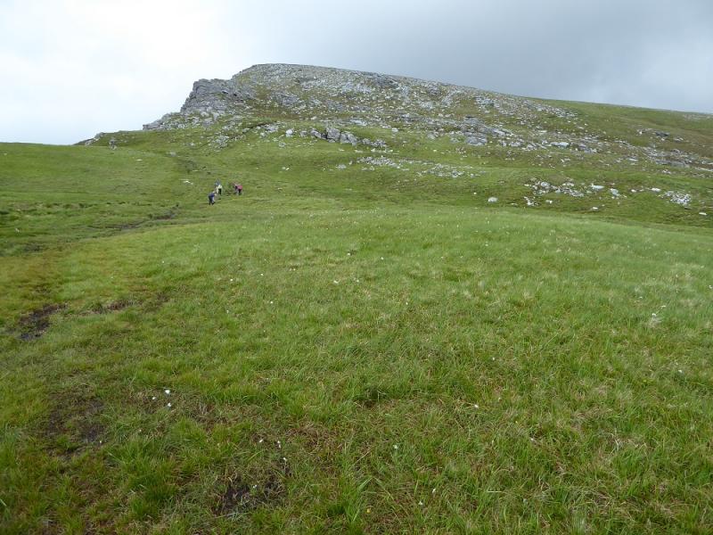
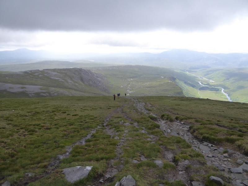
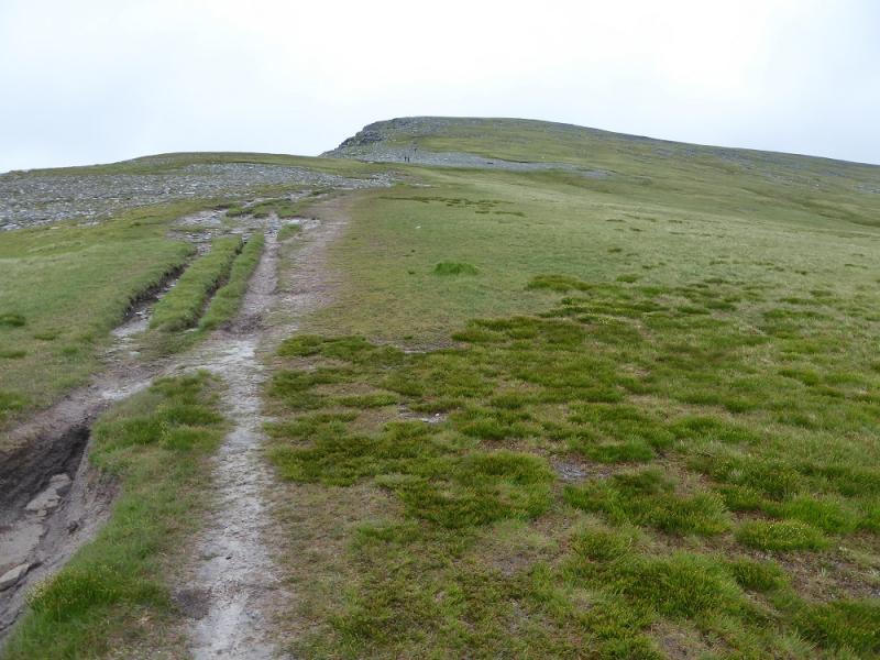
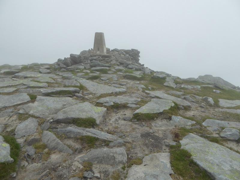
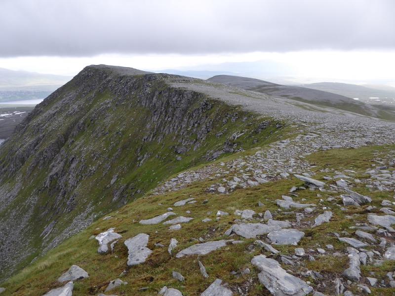
(1) There is a sign indicating the start of the path which goes up the S side of the obvious stream passing some scenic waterfalls. The path is boggy in places. A few minor tributaries are easily crossed before the main stream itself is crossed and the path followed up on to the escarpment. There is an older path which does not cross the stream and goes up more directly to rejoin the main path higher up. Once the escarpment is reached, the path turns N, close to the tops of the cliffs. The gradient steepens in places but it is less boggy. A few cairns mark the way before the gradient eases and the trig point and shelter cairn are reached which is the summit of Ben Hope, 927 m.
(2) Retrace the outward route.
Notes
(a) This walk took place on 18th June, 2017, and about 20 and 30 years earlier.
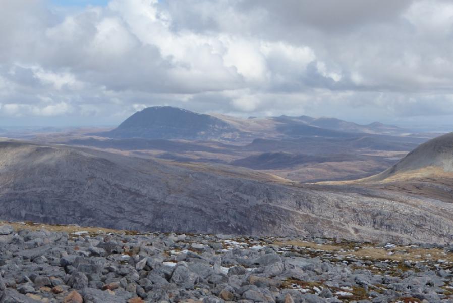
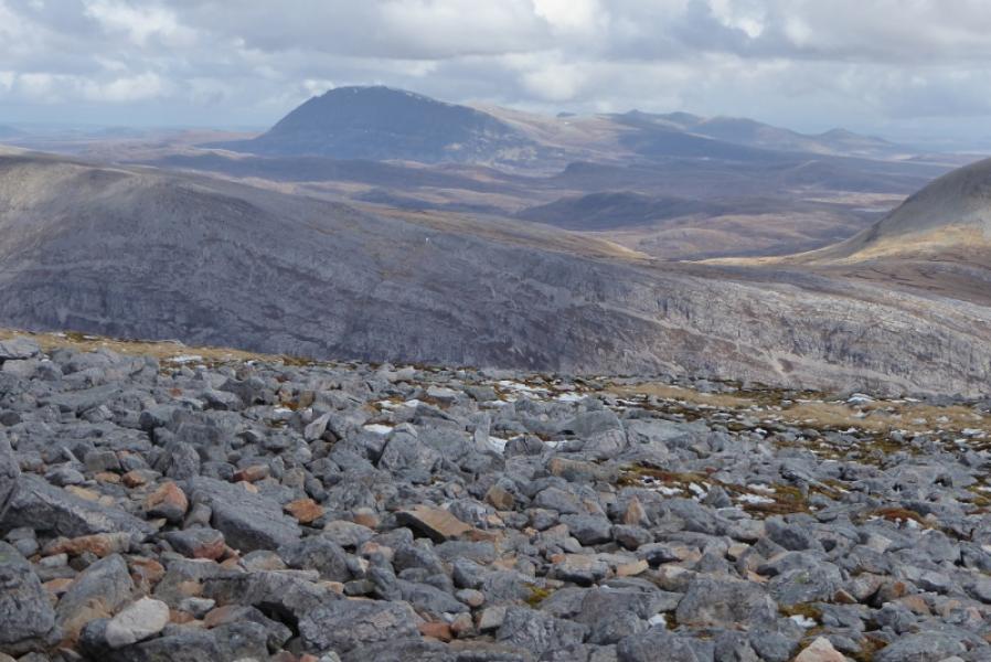
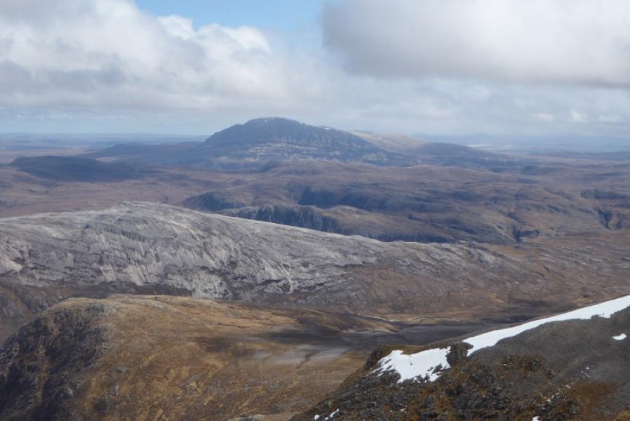
Photos - Hover over photo for caption. Click on to enlarge. Click on again to reduce.