Get Lost Mountaineering
You are here: Scotland » 16 Coigach to the Pentland Firth » East of Bonar Bridge to Tongue Road
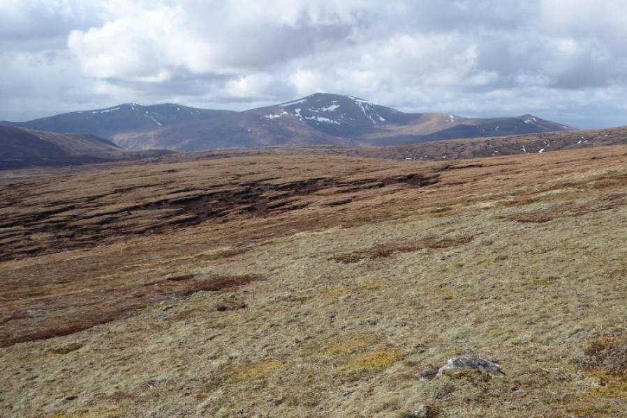
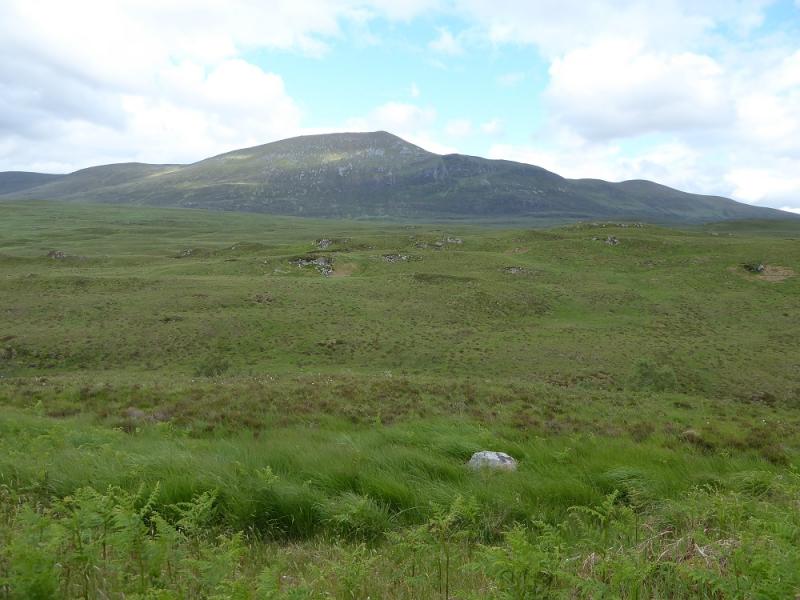
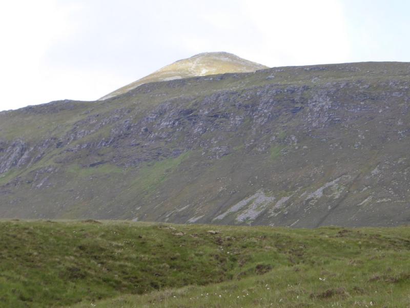
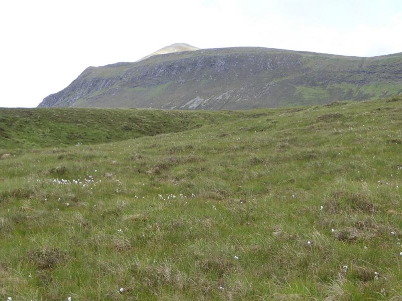
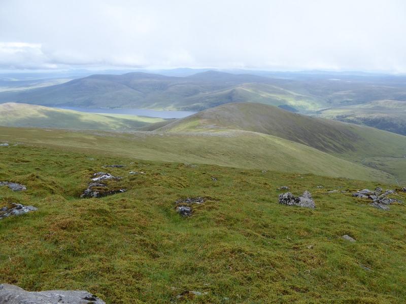
Ben Klibreck from south of Altnaharra
Ben Klibreck from south of Altnaharra
Start/Finish
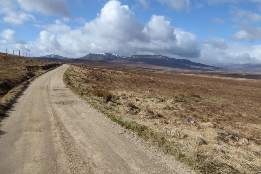
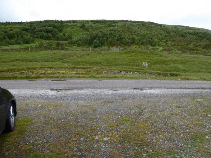
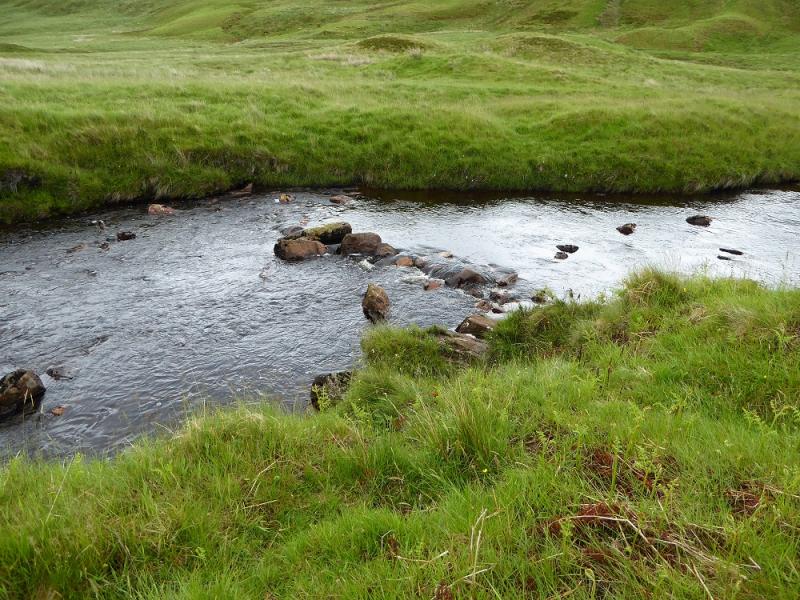
This is awkward to find. About 3 miles south of Altnaharra at the end of the large wood shown on the map is a parking spot with a path seemingly going uphill once across the river but the river crossing is often too difficult so drive a little further south, passing a wide entrance to a gate on the right, to find a similar parking area opposite more scattered trees. This is probably the best place to start but there is still the river to cross although there are some natural rocks to ease this if the water level is not too high. After rain, one may have to continue driving south until a footbridge over the river is reached allowing safe access across the river.
Distance/Time
12 km. About 6 – 7 hours.
Peaks
Ben Klibreck – Meall nan Con, 962 m, NC 585 299. OS map 16: Lairg & Loch Shin
Introduction
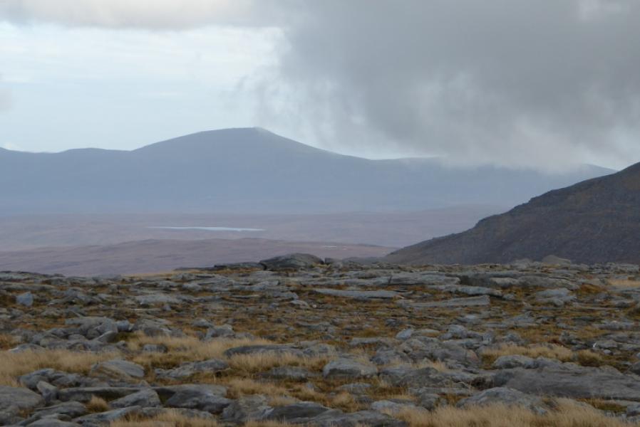
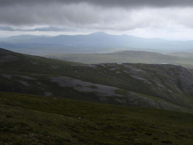
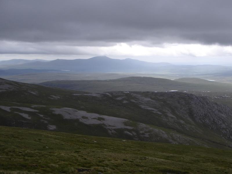
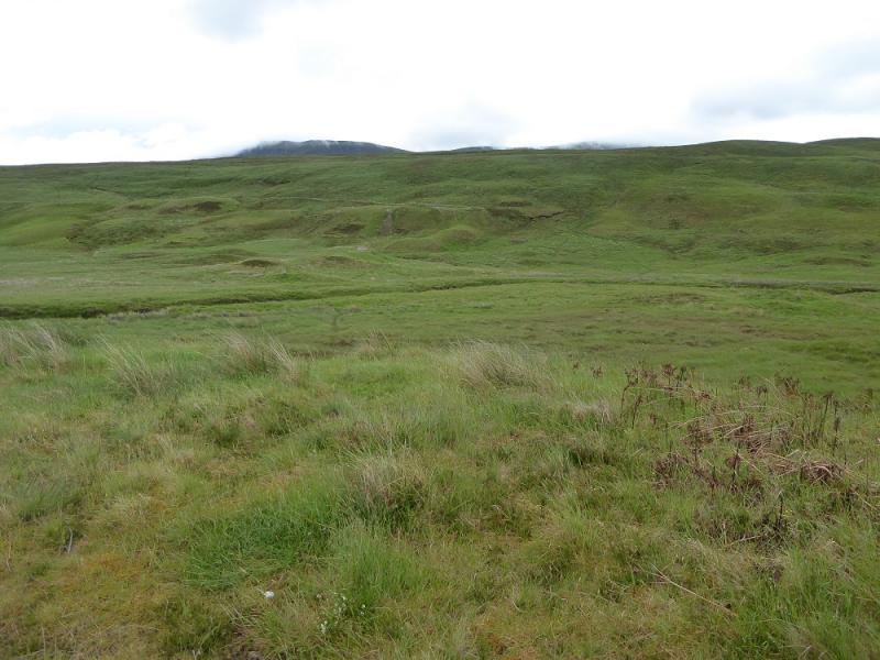
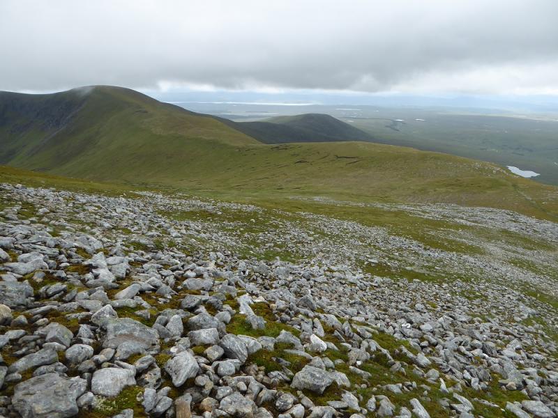
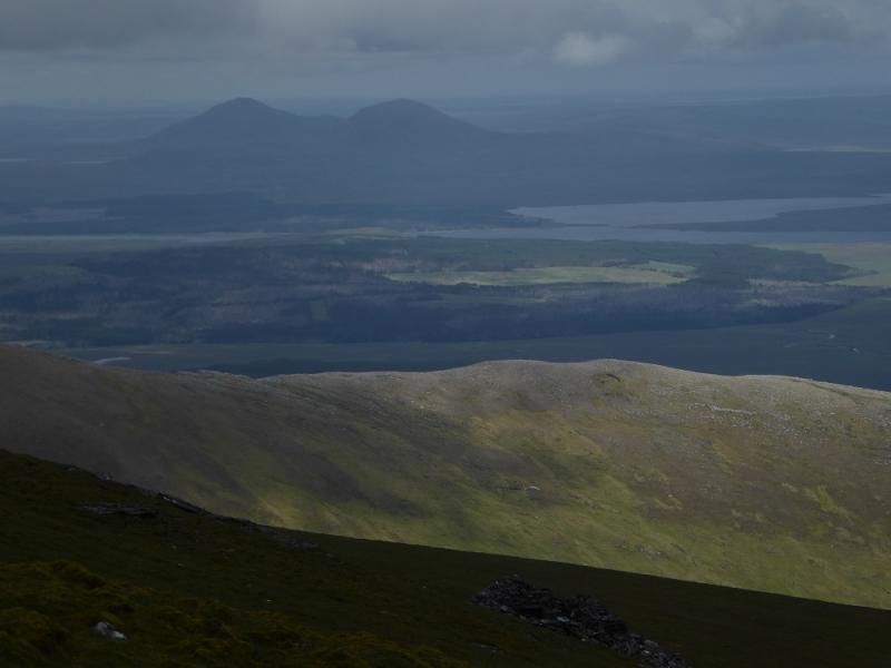
This is the shortest route up Ben Klibreck but it is an unrelenting slog over rough, wet and pathless ground until one is almost on the crest after which the route is more obvious. Views are reasonable to Ben Hope, Ben Loyal, Ben Armine & Creag Mhor and Ben Griam Mor. On a very clear day, Morven can be seen.
Route
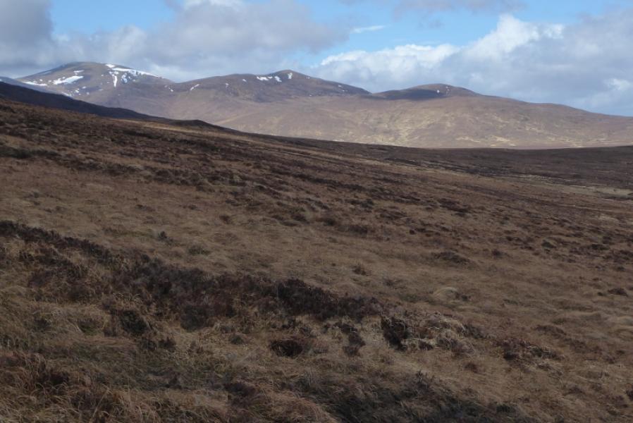
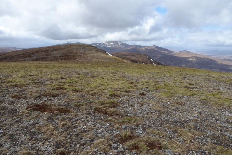
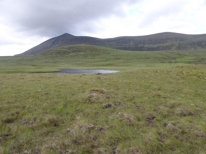
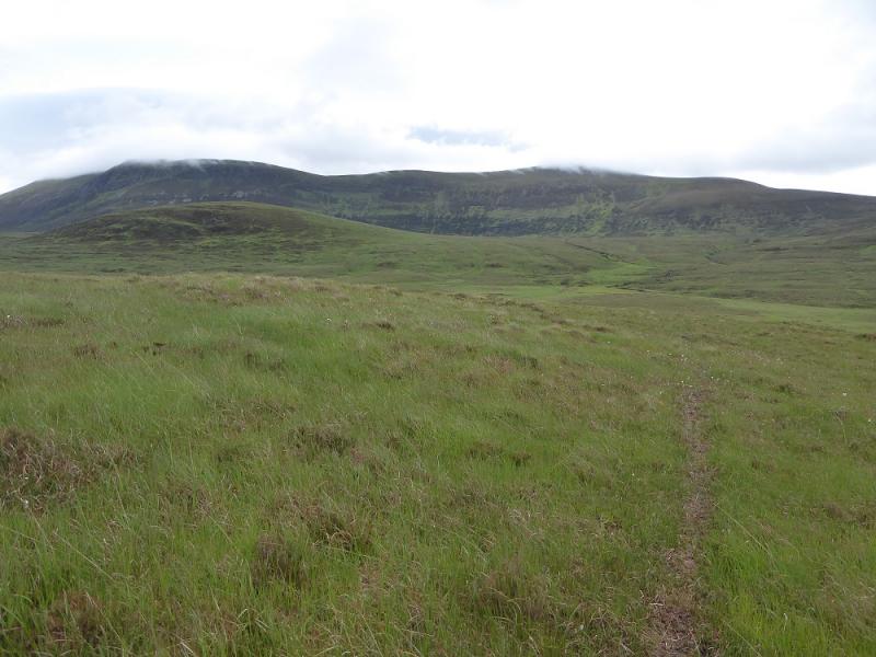
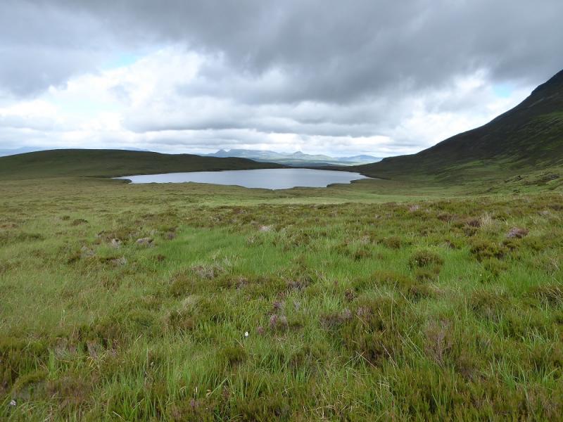
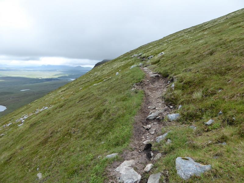
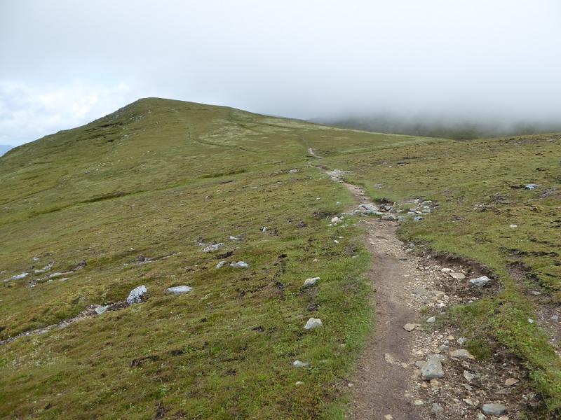
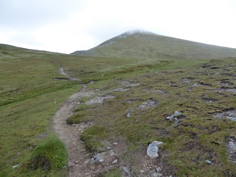
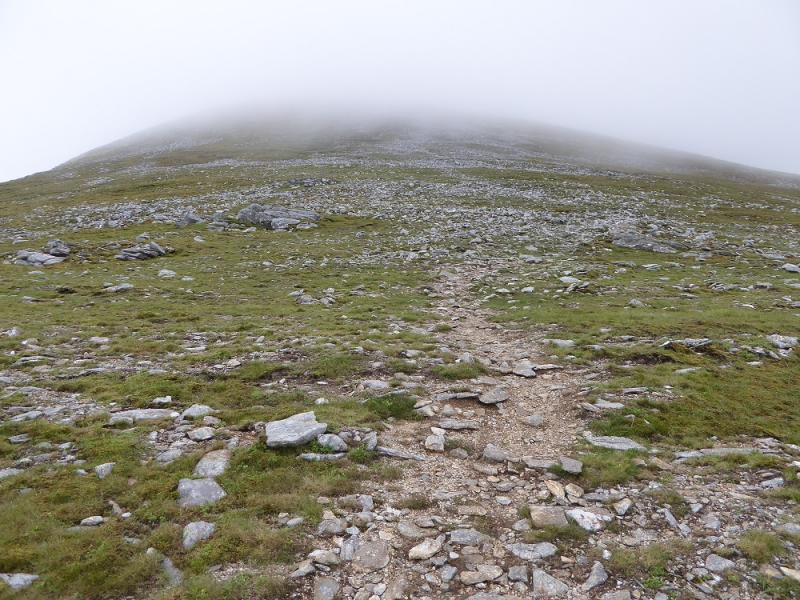
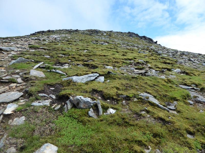
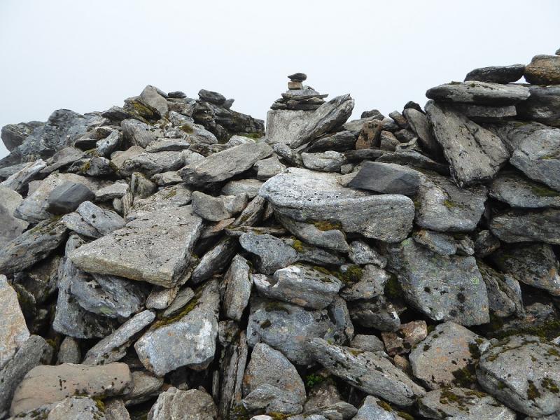
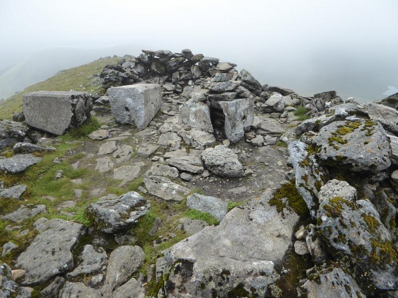
(1) From the parking spot, follow a very faint path towards the river and cross by the only possible route, over some rough stepping stones. Once across, follow a very faint path up onto the first crest then descend gently to between the two lochs – the southern one being named Loch bail an Loch. Continue, probably without a path, heading ESE to pass a few hundred metres to the S of Loch nan Uan. The slope steepens considerably. There is a path but it is very faint lower down. If it is clear, aim for the only scree patches higher up and you may locate the path! After a stiff climb, reach the traverse path below the crest. If you found the ascent path, there is a small cairn at the junction. Note this spot carefully as you will be returning this way. Walk N along the traverse path, losing some height, then ascending easily to the unnamed top at the N end of the crest where the path turns E and strats ascending the steep W ridge of Meall nan Con, the name of the highest top on Ben Klibreck. It is a fairly obvious path with the occasional cairn. After about 200 m of ascent, reach the shelter cairn inside which seems to be the remains of two trig points. This is the summit of Ben Klibreck – Meall nan Con, 962 m.
(2) Retrace the outward route.
Notes
(a) This walk took place on 19th June, 2017. About 20 years earlier, Ben Klibreck was climbed from the Crask Inn as part of a 2 day backpacking walk which also included Ben Armine & Creag Mhor. About 30 years earlier, Ben Klibreck was climbed, on its own, from the Crask Inn.
Photos - Hover over photo for caption. Click on to enlarge. Click on again to reduce.
 & Ben Hee from Beinn Direach.JPG)