Get Lost Mountaineering
You are here: Scotland » 16 Coigach to the Pentland Firth » Lairg to Laxford Bridge to Tongue
Cranstackie & Beinn Spionnaidh from Carbreck
Cranstackie & Beinn Spionnaidh from Carbreck
Start/Finish
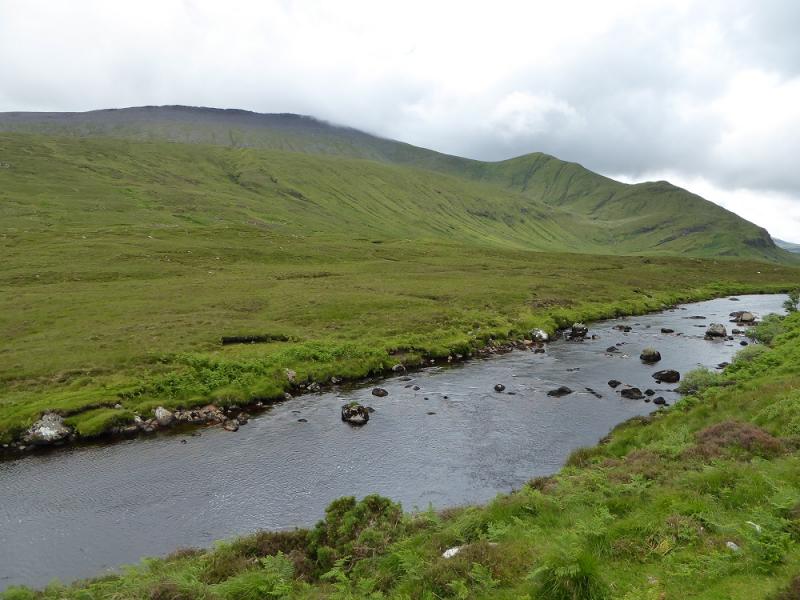
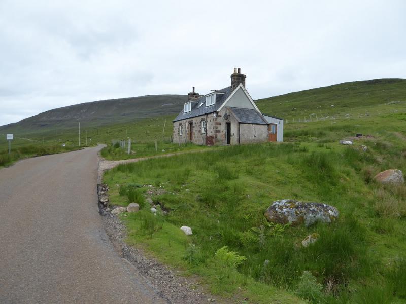
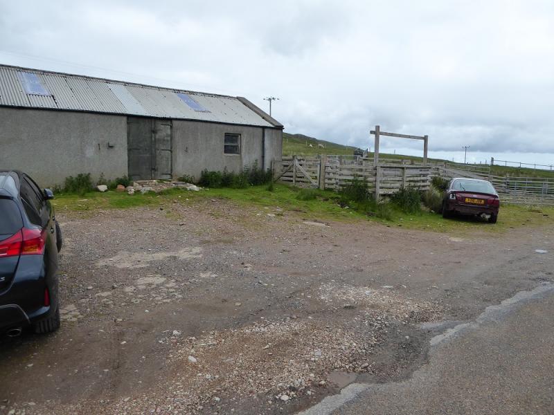
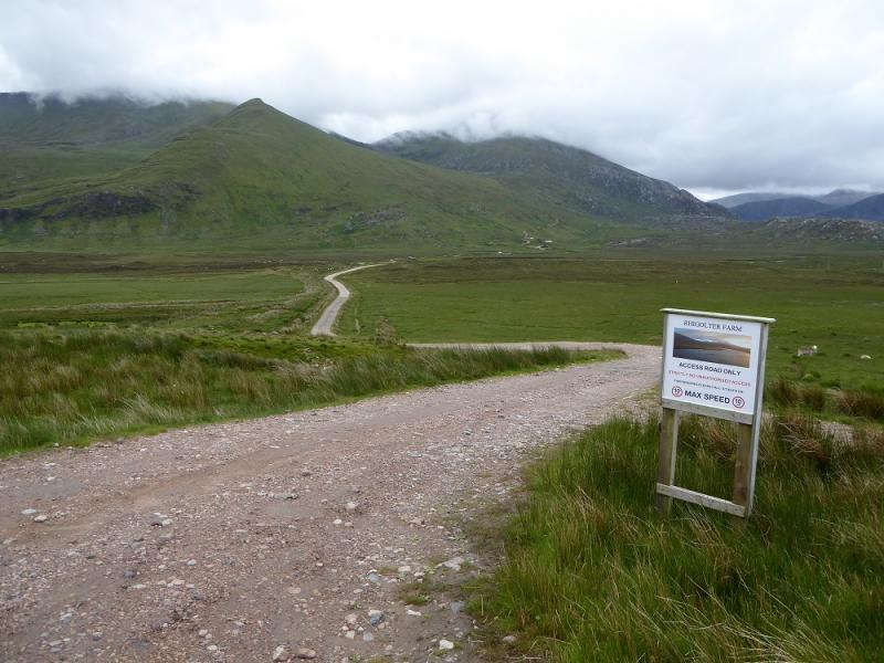
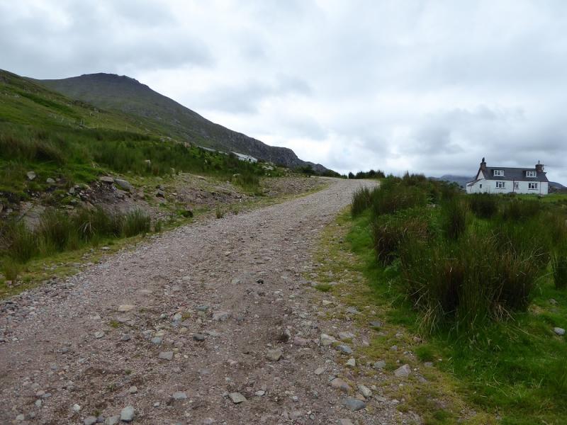
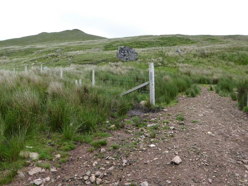
Carbreck on A838 which is about 6 miles south of Durness. There is a large barn with rough parking in front of it just to its north. The private track to Rhigolter is a little to the south and has a sign about access at its start. One could easily cycle along the track to Rhigolter.
Distance/Time
13 km. About 7 hours.
Peaks
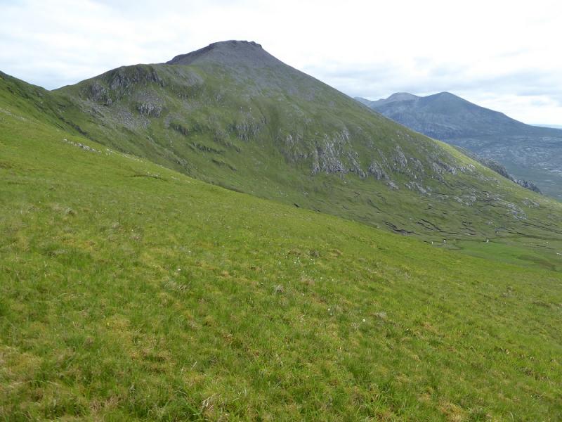
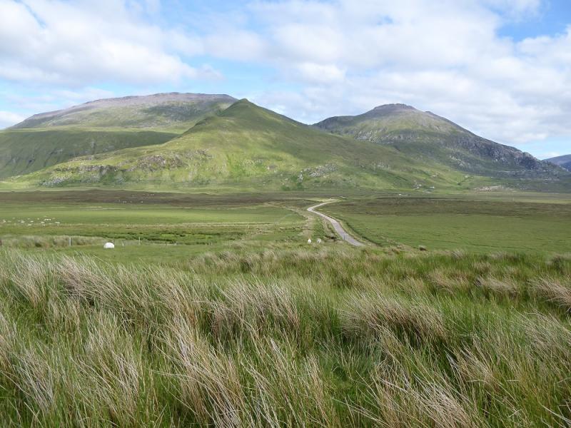
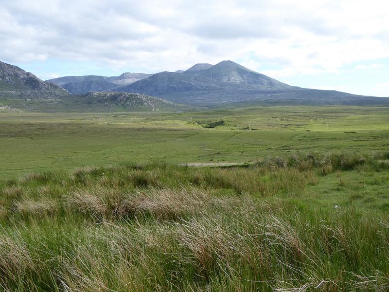
Cranstackie, 800 m, NC 350 556.
Beinn Spionnaidh, 772 m, NC 362 573. OS map 9: Cape Wrath
Introduction
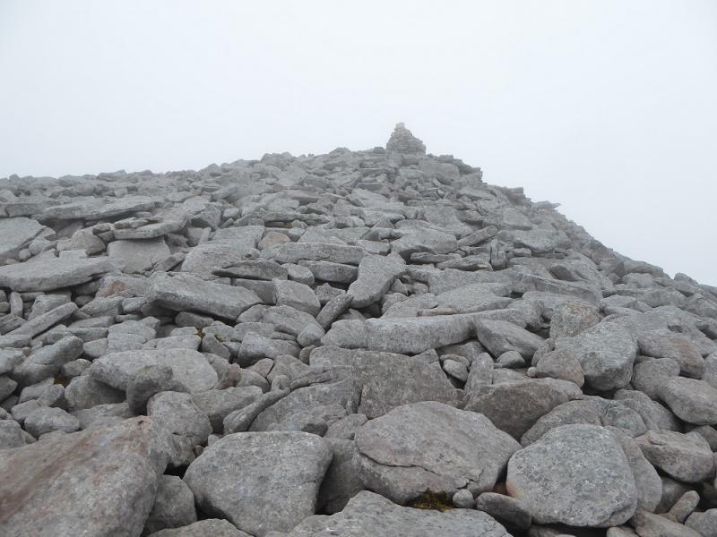
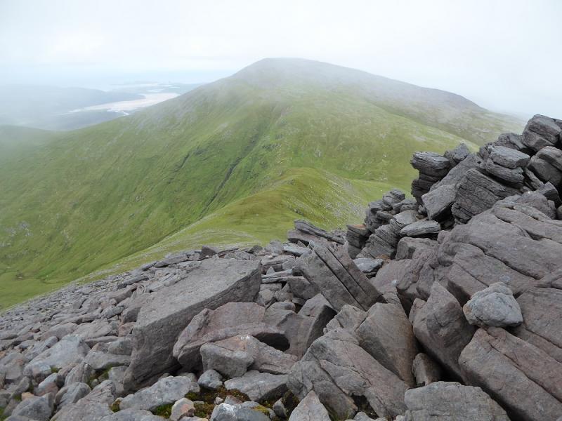
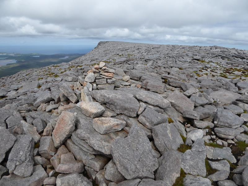
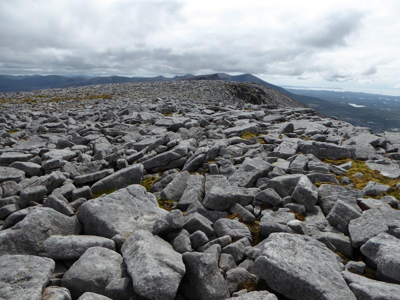
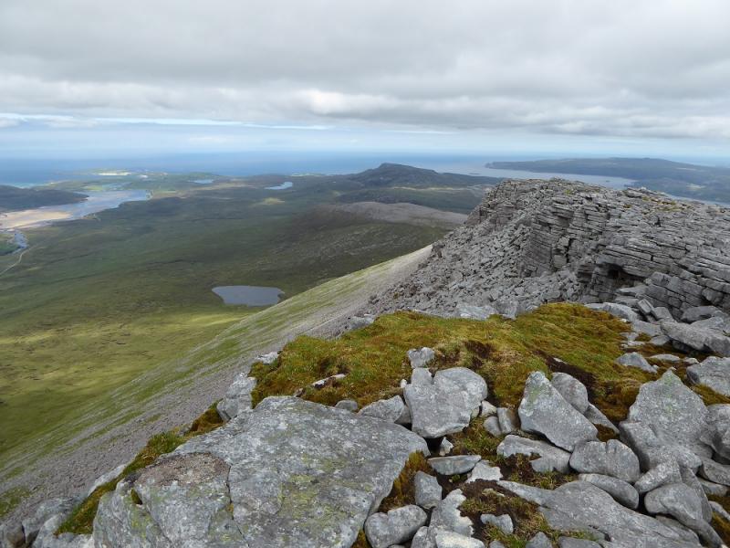
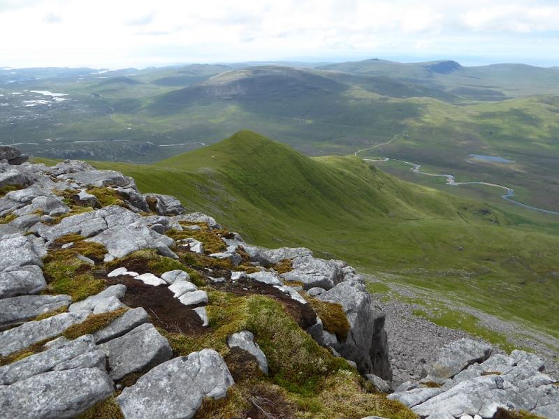
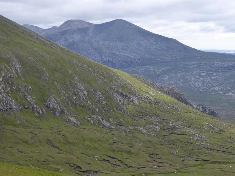
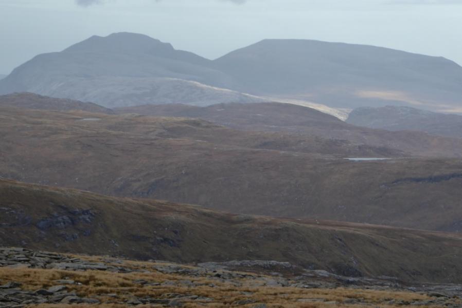
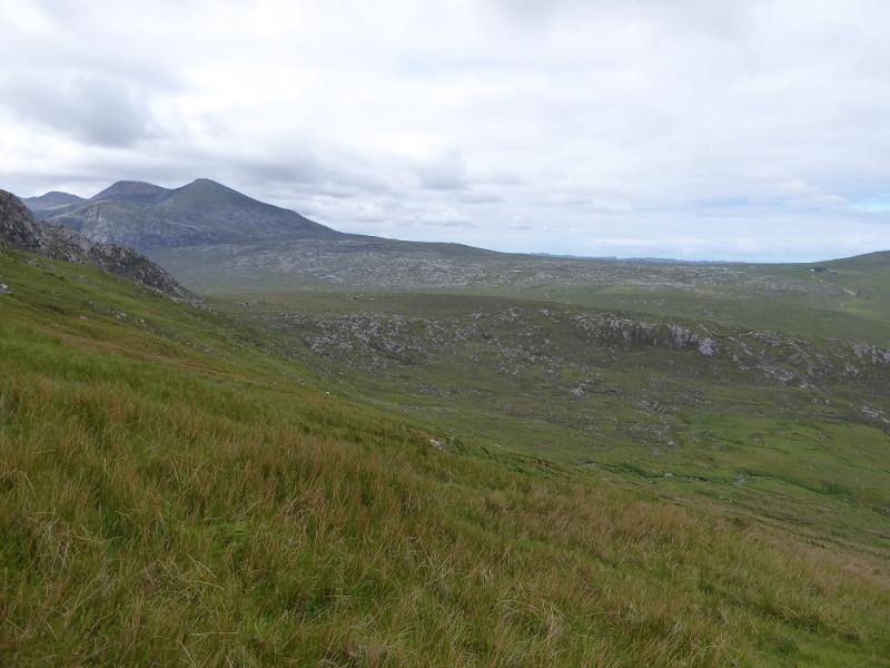
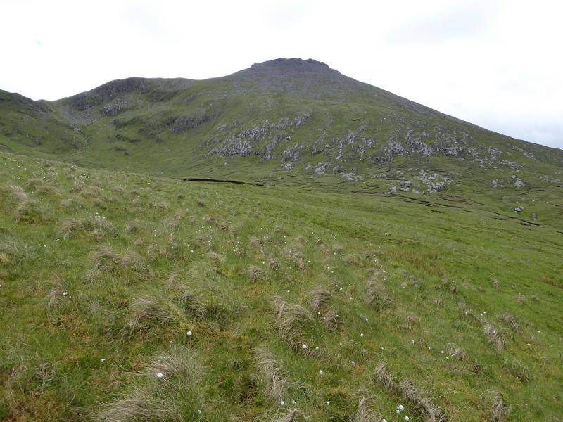
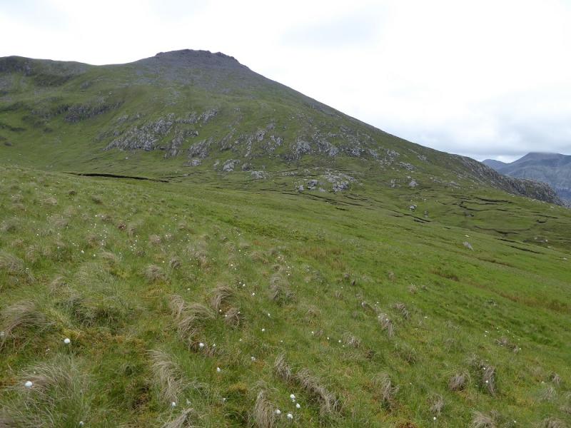
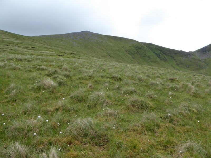
Cranstackie and Beinn Spionnaidh are the two most northerly Corbetts. They give good views to Ben Loyal, Ben Hope, Ben Klibreck and Ben Hee but especially to Foinaven which lies immediately south of Cranstackie. After Rhigolter, much of the route is pathless. This route goes up the steep north west ridge of Cranstackie which is quite strenuous and has a large boulder field below the summit. A similar boulder field has to be negotiated on the descent towards Beinn Spionnaidh.
Route
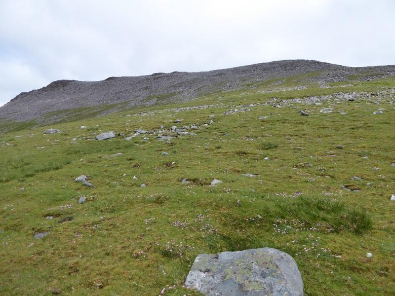
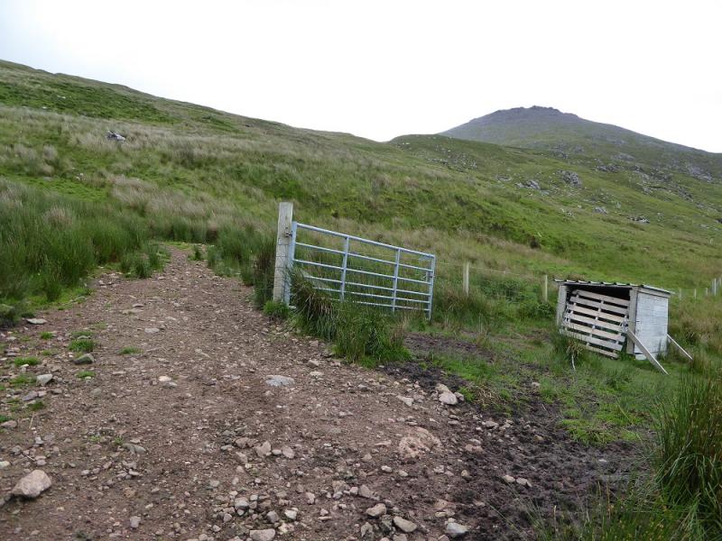
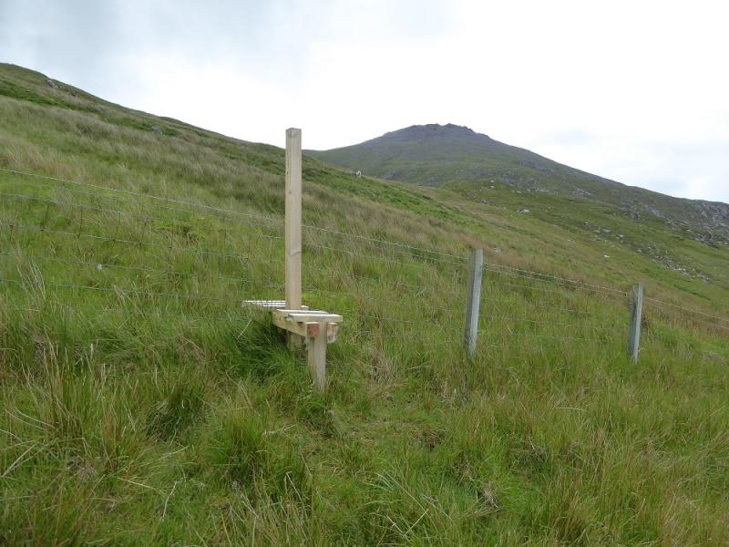
(1) Walk along the track to Rhigolter then continue on a rougher and steeper track to its end. Start picking a way up the rough hillside to reach a stile. Cross over then traverse right towards the NW ridge of Cranstackie crossing a deep cut stream just below the ridge. Start picking a way up the pathless NW ridge which is quite steep but mainly grassy lower down. Higher up, the going becomes more bouldery so good route finding helps progress. There appear to be some small cliffs below the crest but these are easily bypassed on the right, S, to reach the crest not far from the summithich is a medium sized cairn on the edge of the boulder field plateau; this is Cranstackie, 800 m.
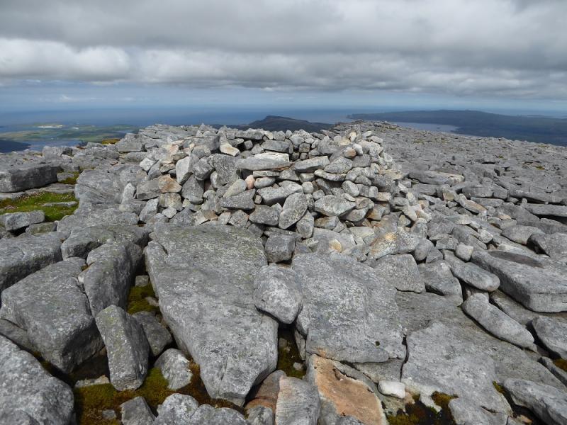
(2) Head NE across a level but unpleasant boulder field and follow the edge down through scree and boulders until grassy ground is reached. Continue down to the col below Beinn Spionnaidh then start picking a way up the grassy slopes. Higher up, there is a boulder field below the summit plateau but it is not as bad as the one on Cranstackie. Reach a small cairn at the start of the plateau then continue, following the edge on the left, to reach a trig point which has been completely walled in; this is Beinn Spionnaidh, 772 m.
(3) Retrace to the small cairn then pick a way down the boulder field on the NW ridge to reach easier grass. Continue to the grassy col before a top then go left, roughly W/WNW and descend towards the lip of the garssy corrie where the outward route can be rejoined back to Rhigolter and Carbreck.
Notes
(a) This walk took place on 20th June, 2017, and about 20 years earlier.
Photos - Hover over photo for caption. Click on to enlarge. Click on again to reduce.
.JPG)