Get Lost Mountaineering
You are here: Scotland » 16 Coigach to the Pentland Firth » Ledmore Junction to Laxford Bridge
Ben Stack Full Traverse from near Lochstack Lodge
Ben Stack Full Traverse from near Lochstack Lodge
Start/Finish
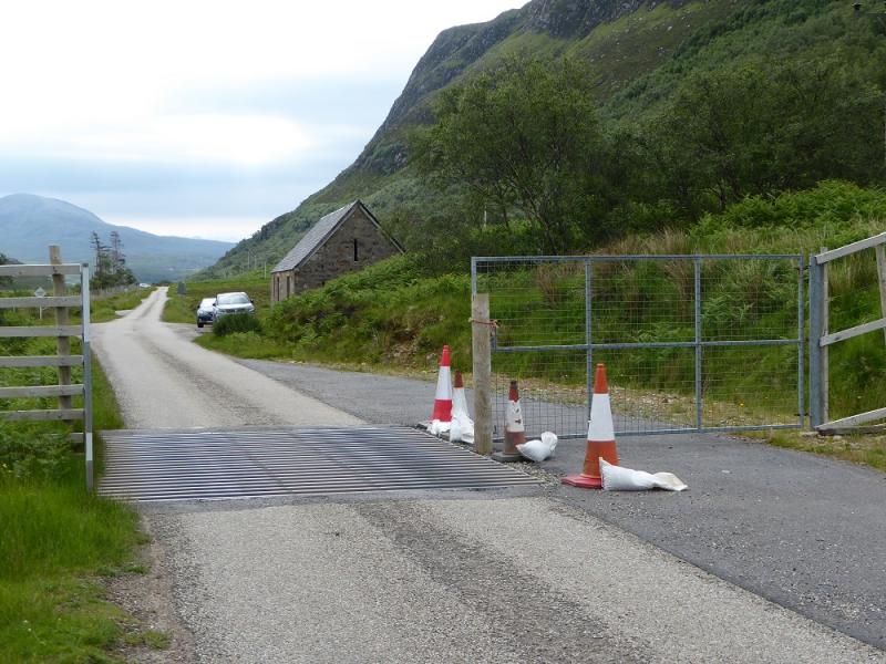
Small building at NC 264 437 where there is some rough parking, for about 3 cars, in front and at the side. Driving south on the A838 from Laxford Bridge, this is just after a cattle grid before the wood on the left which hides Lochstack Lodge. Driving north it is about 0.3 miles after the north end of Loch Stack.
Distance/Time
8 km. About 4 – 5 hours.
Peaks
Ben Stack, 721 m, NC 269 423. OS map 9: Cape Wrath.
Introduction
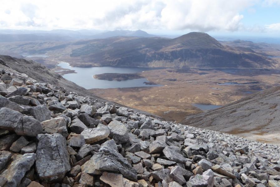
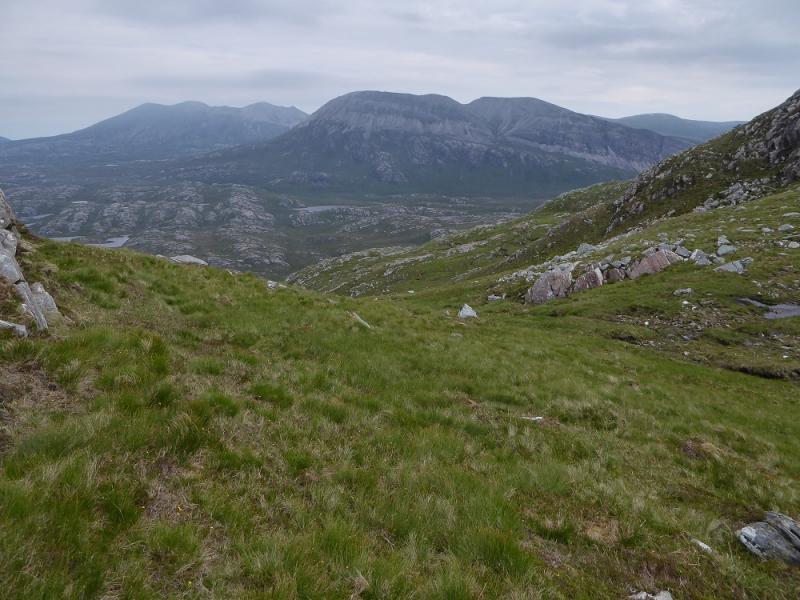
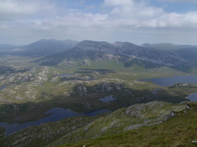
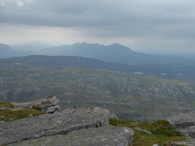
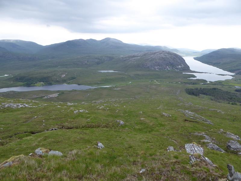
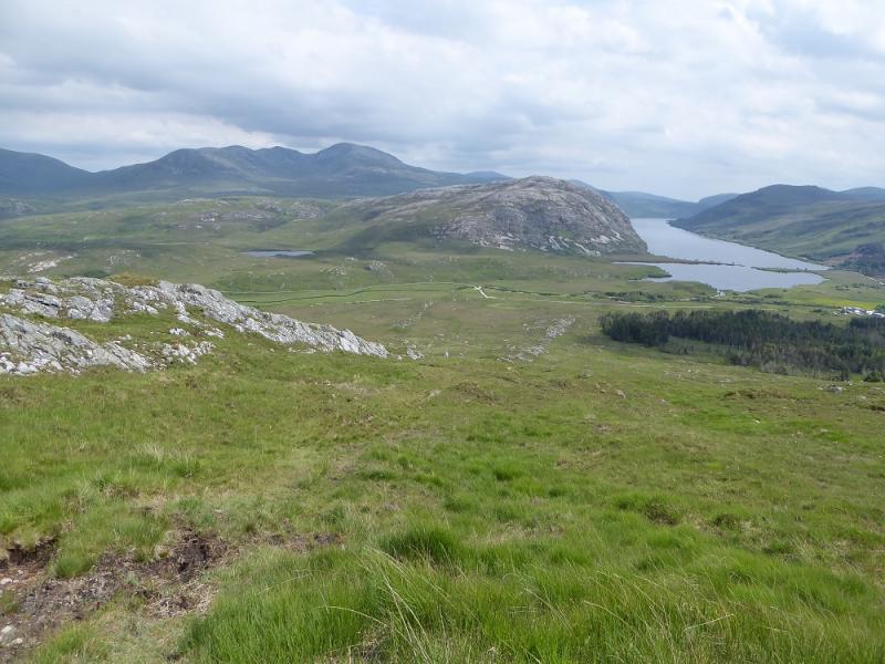
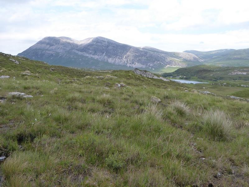
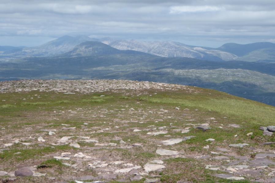
This is a lovely little mountain despite its modest height. There are excellent views especially to Foinaven, Arkle, Meall Horn and Meallan Liath Coire Mhic Dhughaill. In very clear conditions, Quinaga can also be seen to the south west. It is well worth doing the full traverse if two cars are available or a bike can be left at the start of the track to Lone. It might be worth investigating a possible bus service, using it to get to the start then one returns to the car.
Route
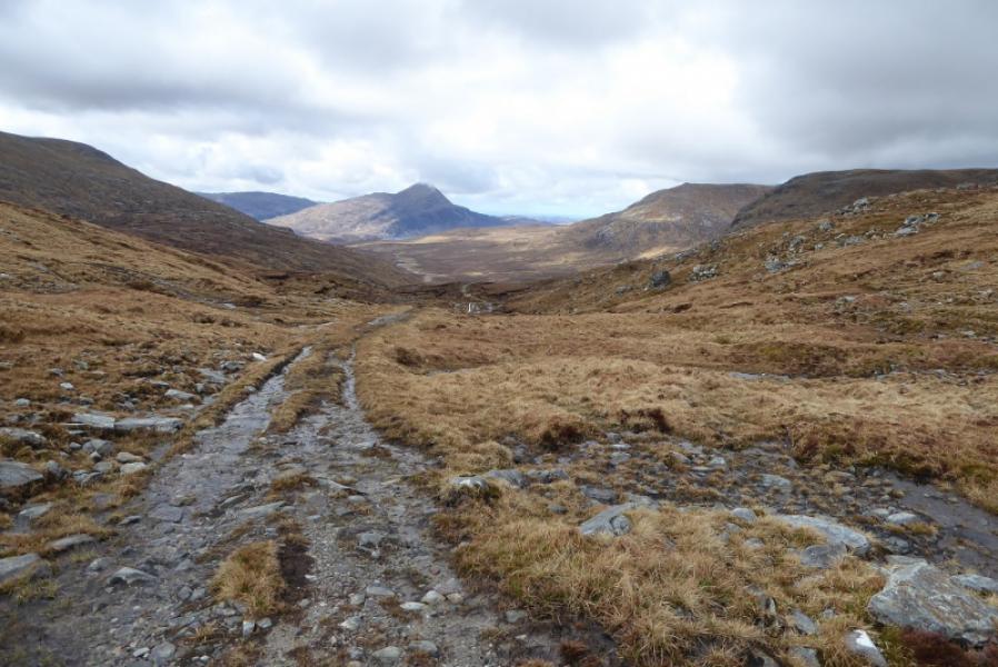
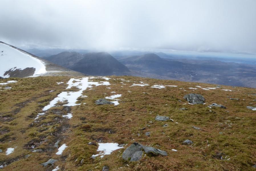
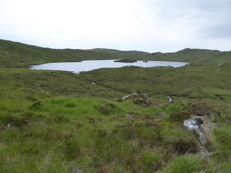
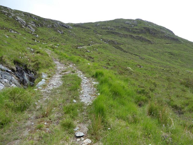
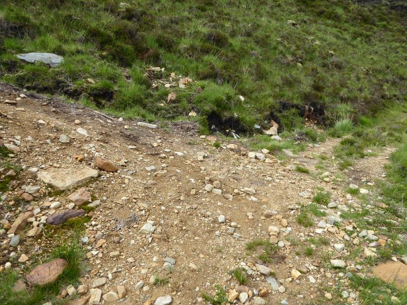
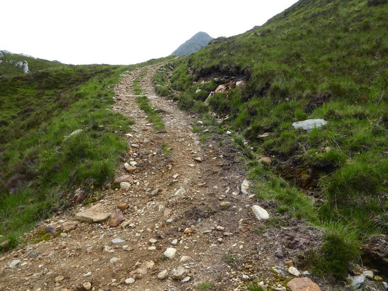
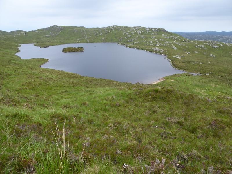
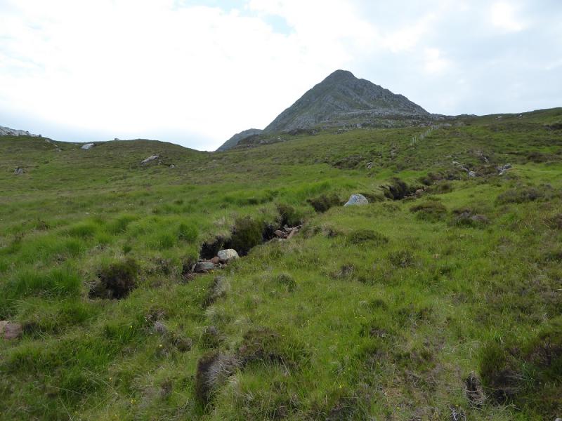
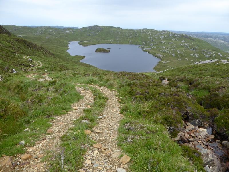
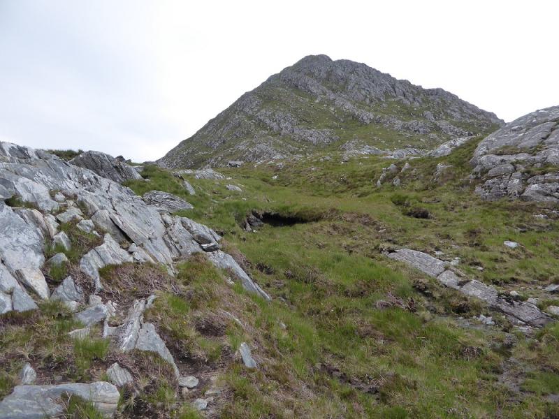
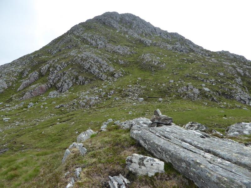
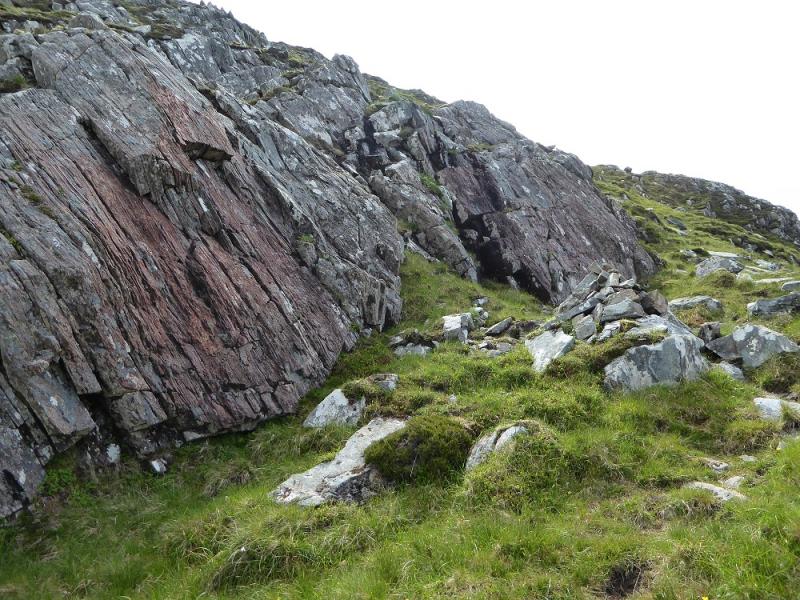
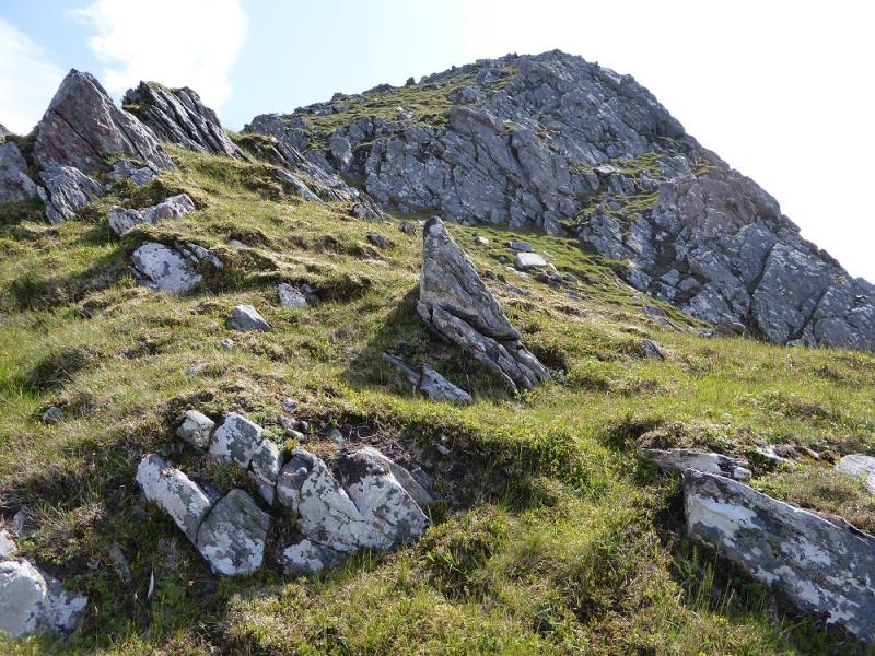
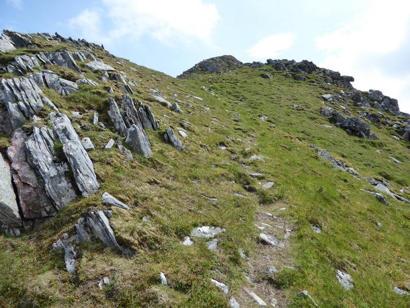
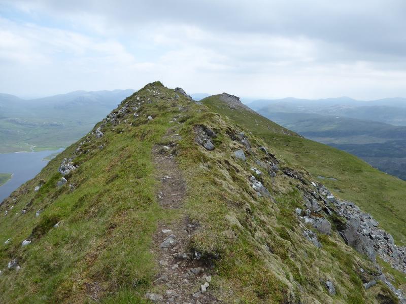
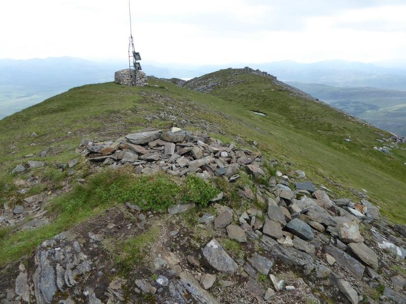
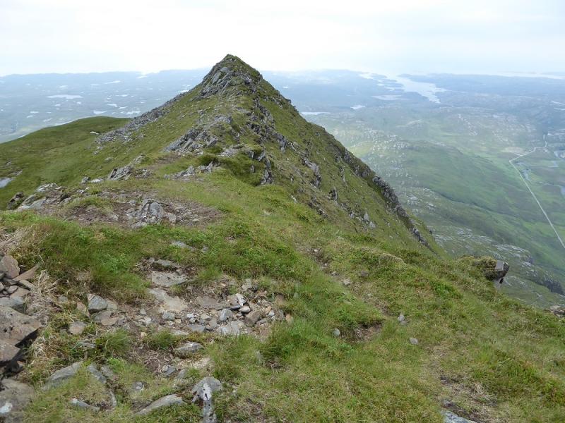
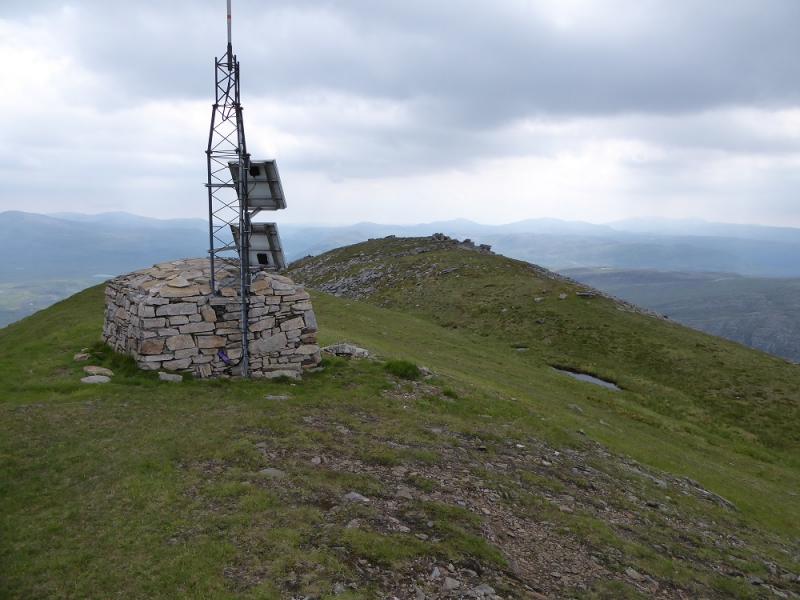
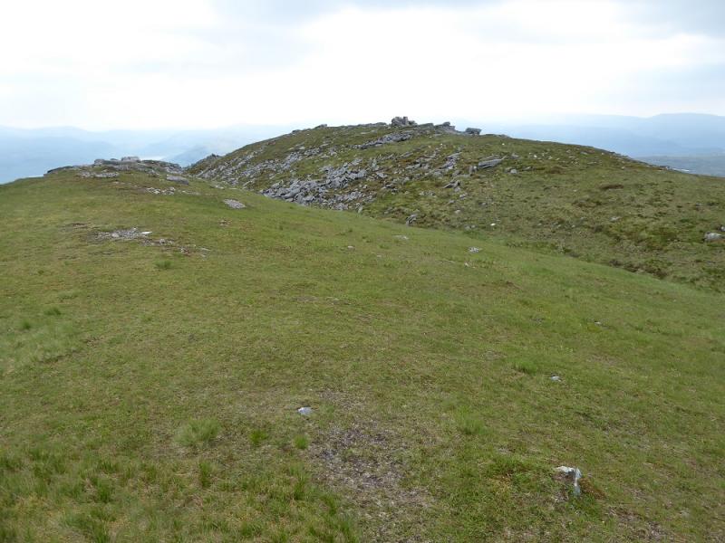
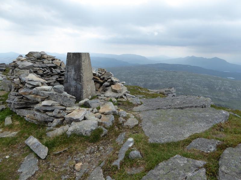
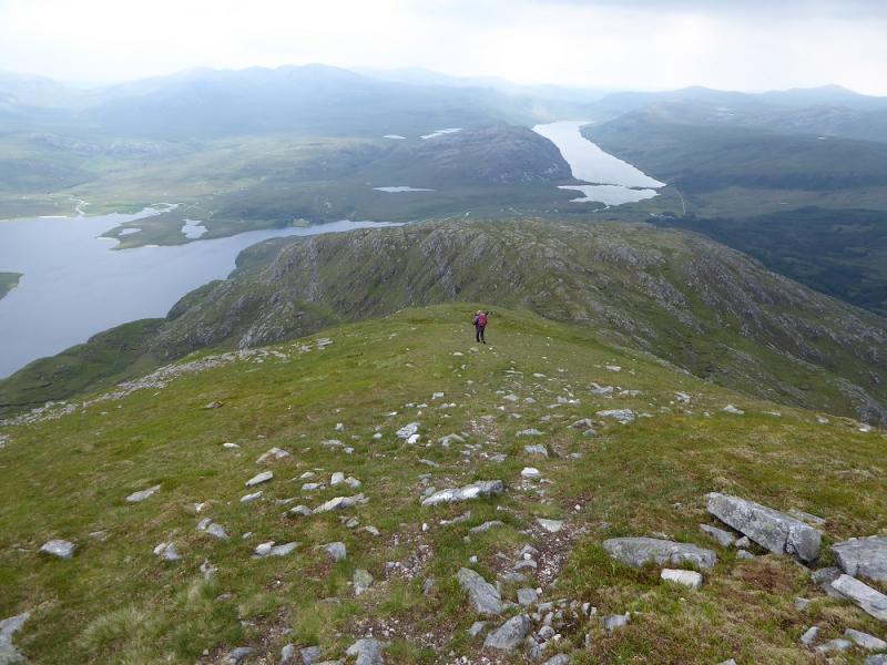
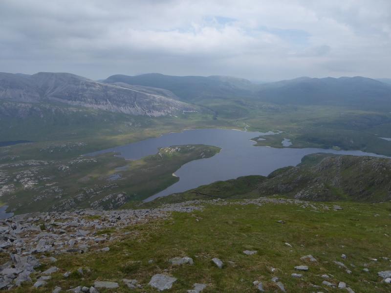
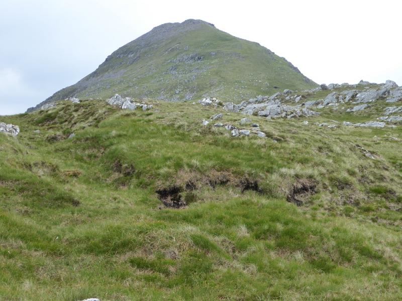
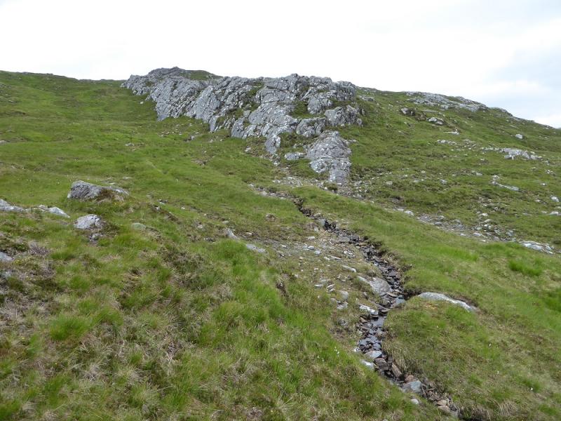
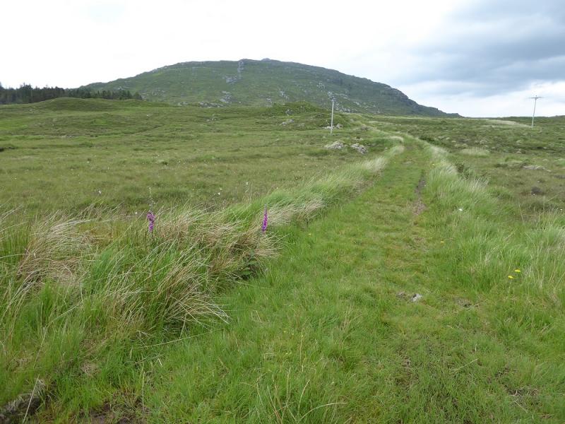
(1) From the building, walk past the cattle grid. Soon after, a good track forks left off the road and starts ascending. Follow the track until above Loch na Seilge where a rougher track goes off left. Follow this rougher track up until it soon runs out and a faint path takes over. The path winds its way up the steep N ridge with the occasional cairn. It is faint in places so try not to lose it. The going is fairly steep but there are no difficulties although hands may be needed in a few places but it is not a scramble. Eventually, one reaches the N Top (no cairn) where the ridge becomes quite narrow with steep grassy sides but there are no difficulties in normal summer conditions. About 100 m further a low, inadequate cairn for such a fine mountain, marks the summit of Ben Stack, 721 m. A little further, there is a solar powered aerial. Just after this the crest splits into two ridges. The path goes down the left ridge. On the right ridge is the trig point and shelter cairn which are about 2 m lower than the summit. If they are visited return to the left ridge, crossing an obvious dip.
(2) Follow the path down the left ridge. The path is faint in places but the direction is SE. Lower down, there is a prominent rock rib which is passed on its right. After this, drift right a little to pick up another, less prominent, rib and follow this down. About 400 m from the road, the ground becomes boggy so trend right then come back left to reach an old track and soon reach the road at the start of the private road to Lone. If you have no means of getting along the road by Loch Stack then retrace the outward route down the N ridge.
Notes
(a) This walk took place on 21st June, 2017, and about 20 years earlier when the descent was made by the ascent route.
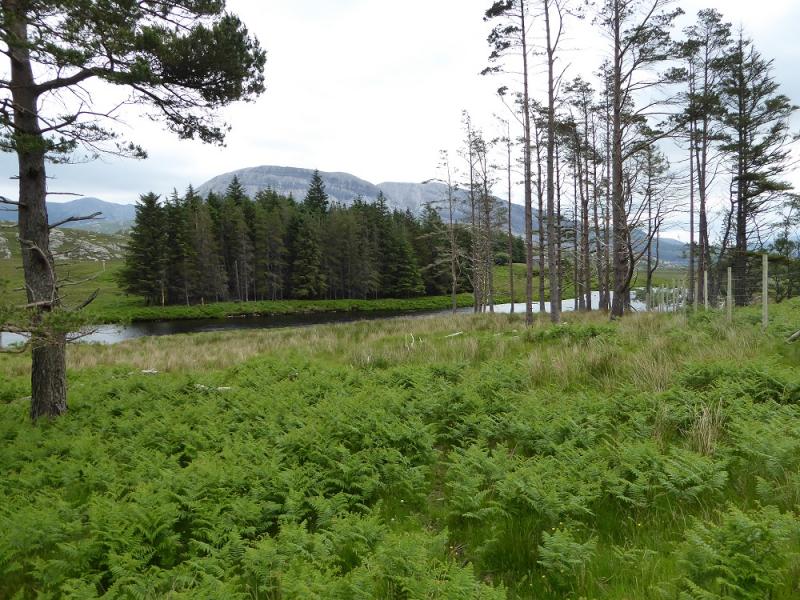
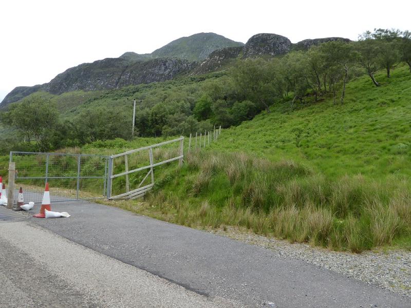
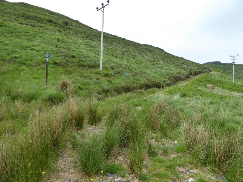
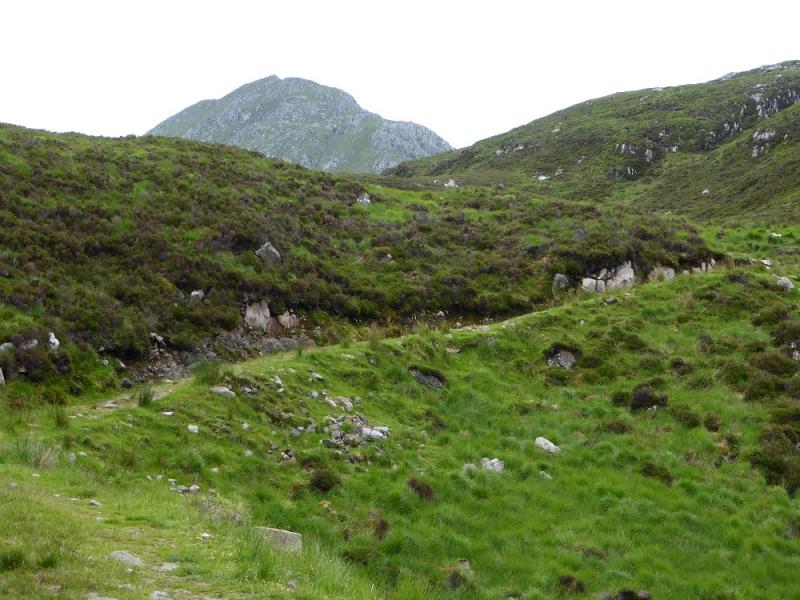
Photos - Hover over photo for caption. Click on to enlarge. Click on again to reduce.


.JPG)