Get Lost Mountaineering
You are here: Scotland » 16 Coigach to the Pentland Firth » Lochinver & Inverpolly
Ben Mor Coigach & Sgurr an Fhidhleir from Culnacraig, Achiltibuie
Ben Mor Coigach & Sgurr an Fhidhleir from Culnacraig, Achiltibuie
Start/Finish
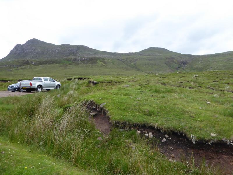
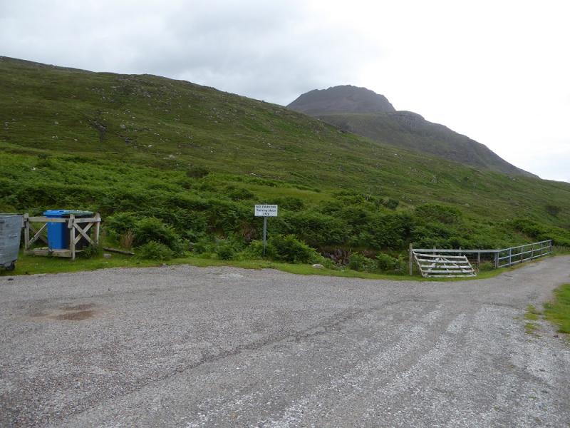
Rough car park on high point of minor from Achiltibuie to Culnacraig not far from where it ends at a turning circle at a bridge before Culnacraig. There is space for about 6 cars. Parking is not allowed at the turning circle.
Distance/Time
12 km. About 7 – 8 hours.
Peaks
Ben Mor Coigach, 743 m, NC 094 042.
Sgurr an Fhidleir, 705 m, NC 094 054. OS map 15: Loch Assynt.
Introduction
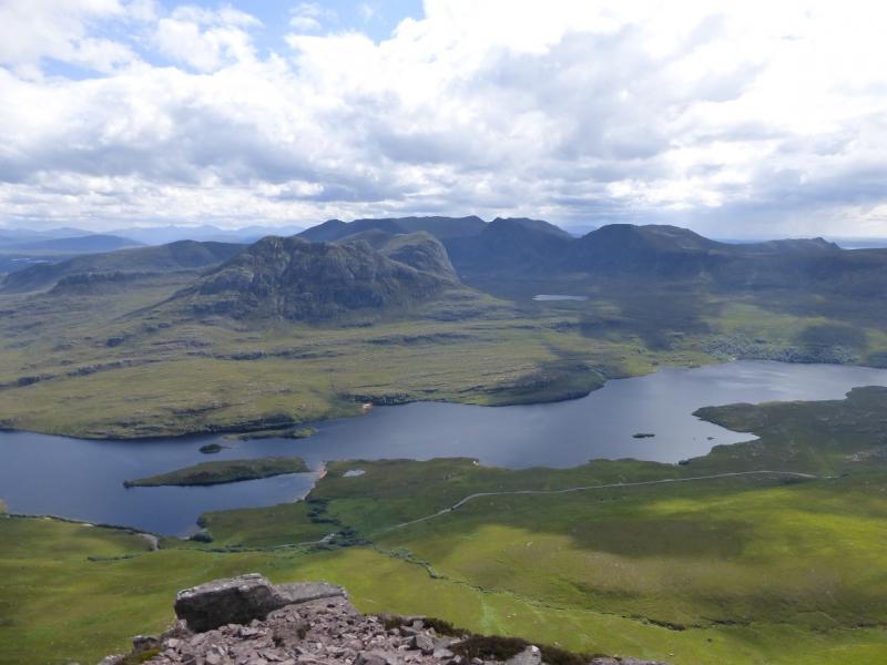
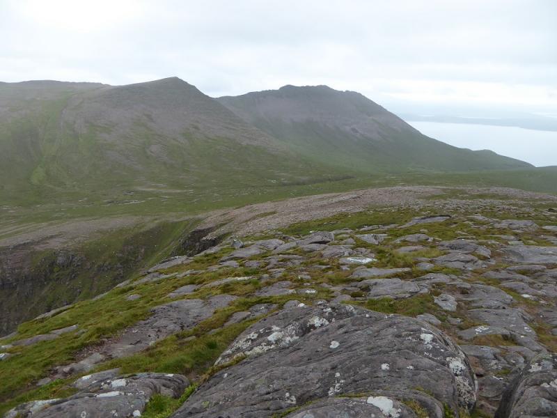
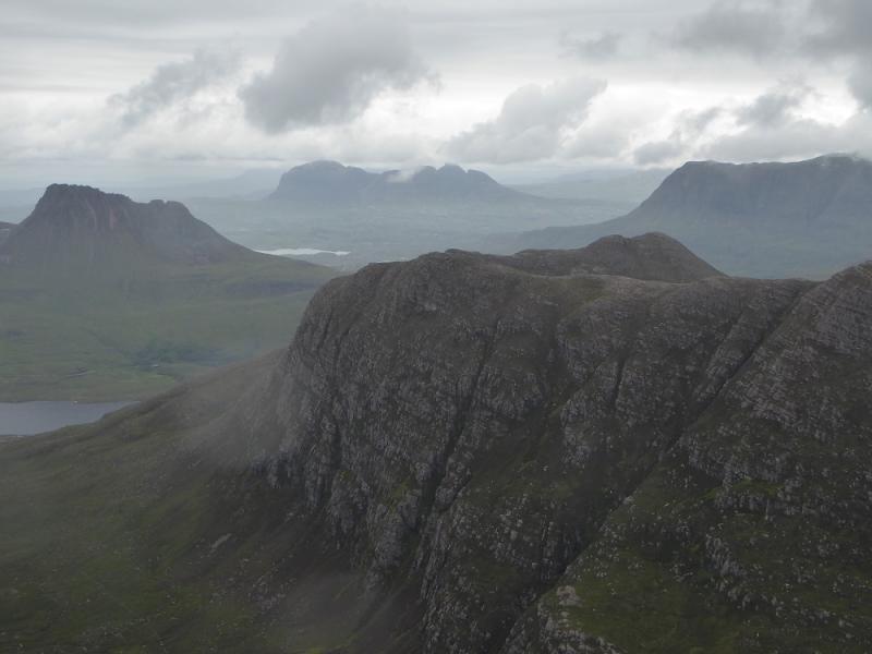
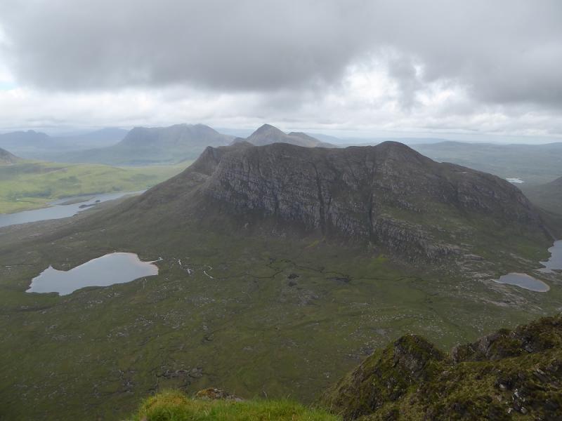
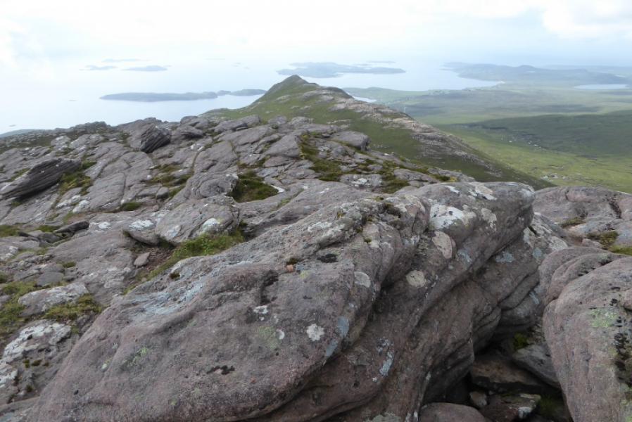
This is a very large mountain with at least 7 distinctive tops. There are excellent views south towards An Teallach but even better ones north to Beinn an Eoin, Stac Pollaidh, Suilven, Cul Mor and Cul Beag. This walk is best saved for a clear day.
Route
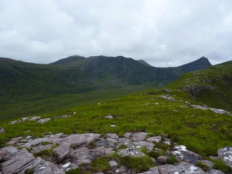
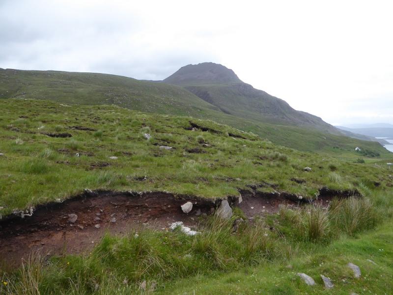
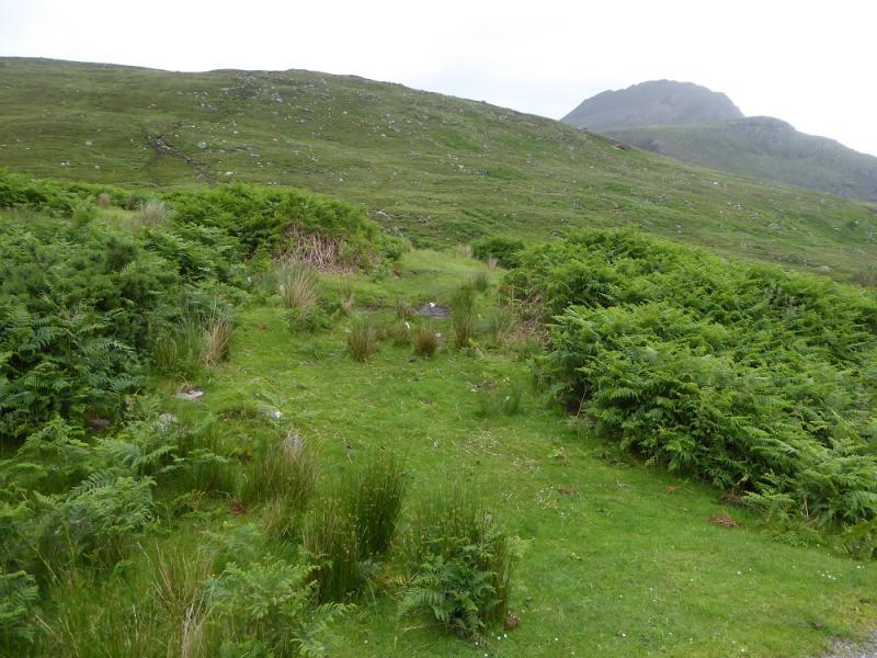
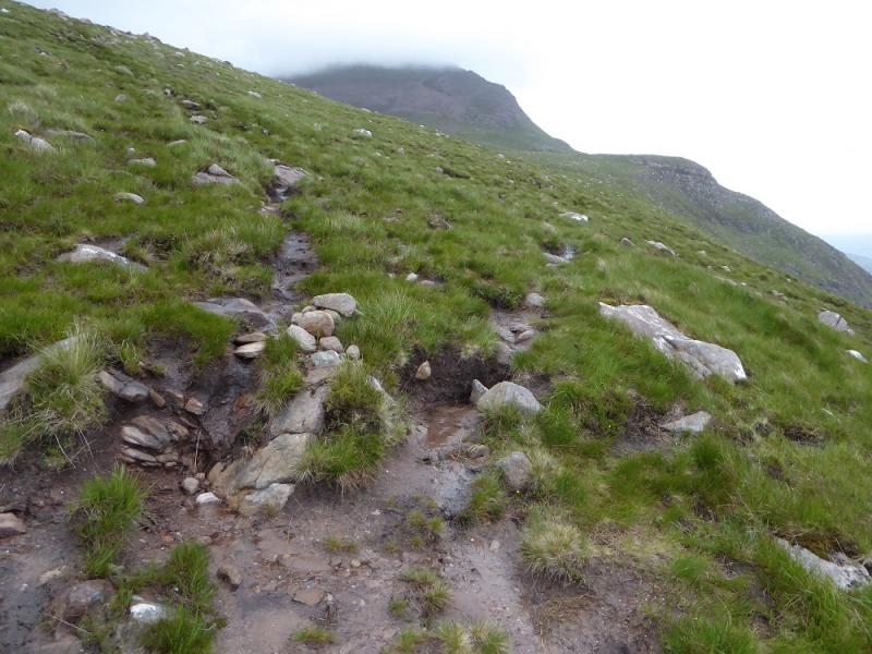
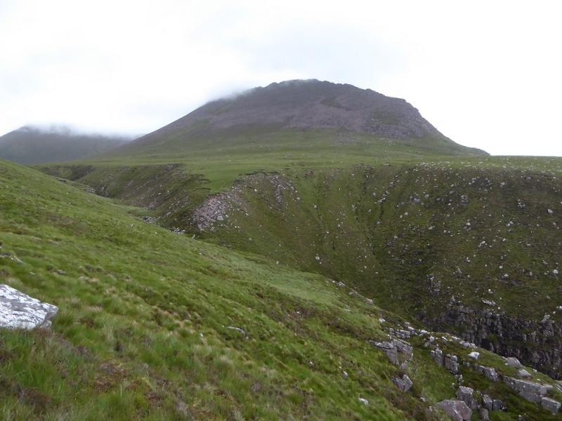
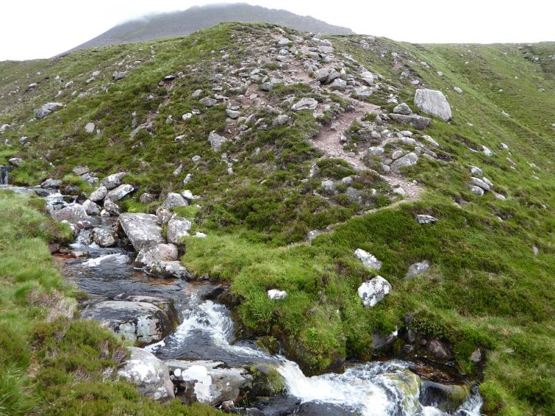
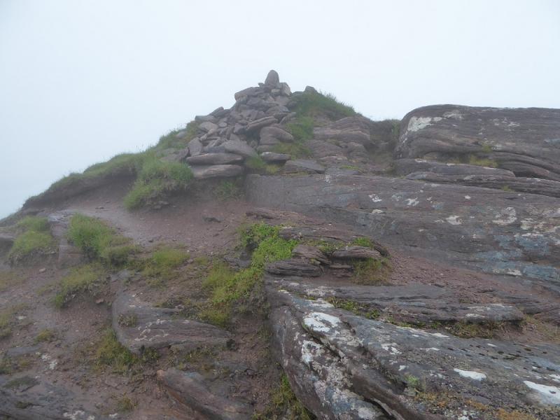
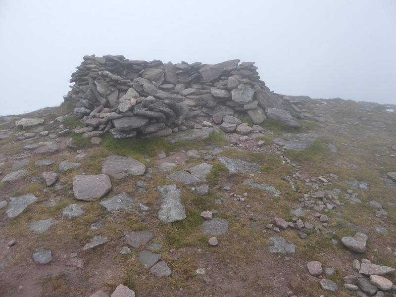
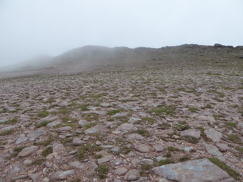
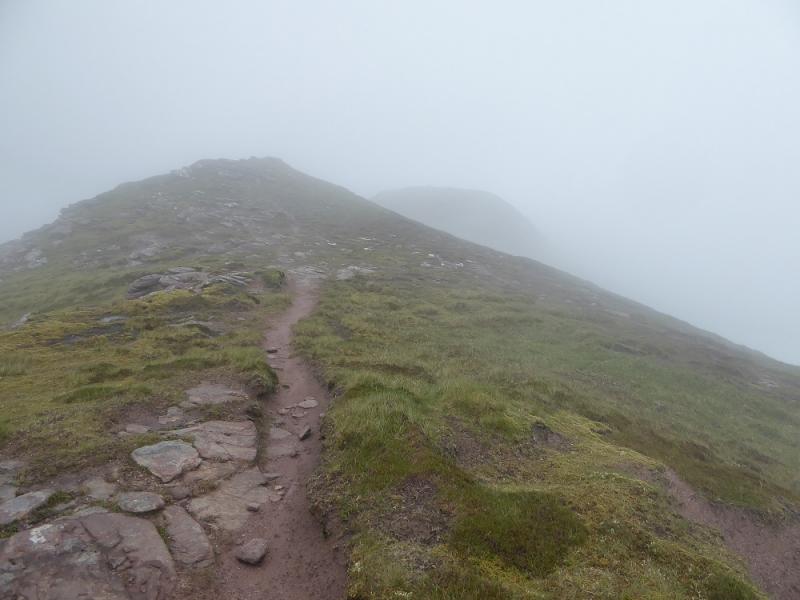
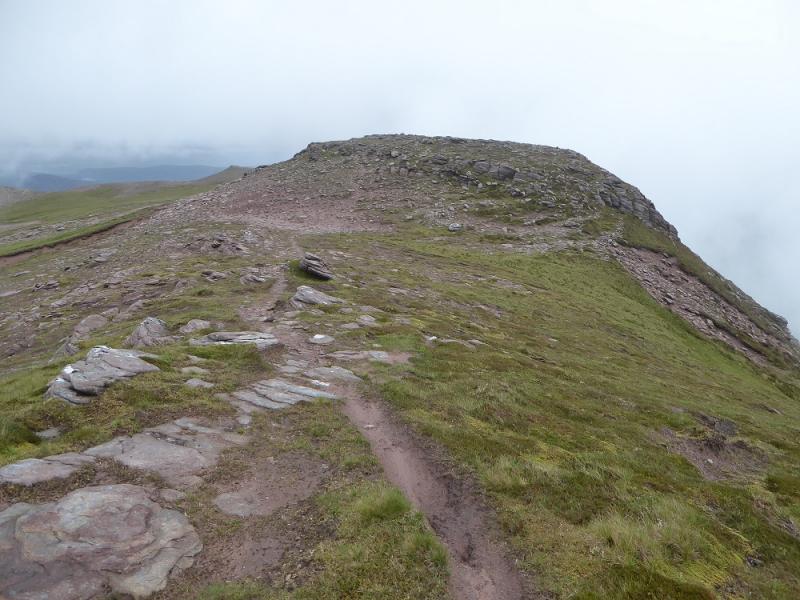
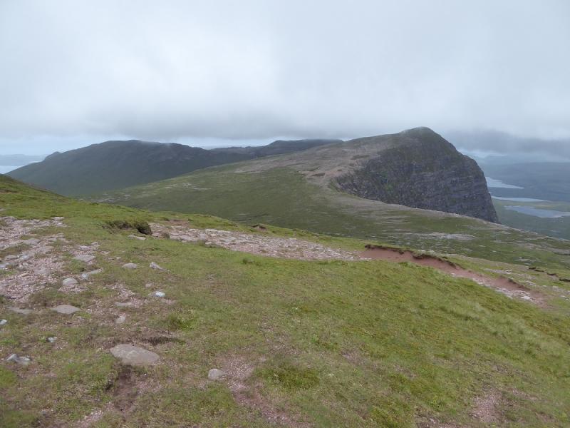
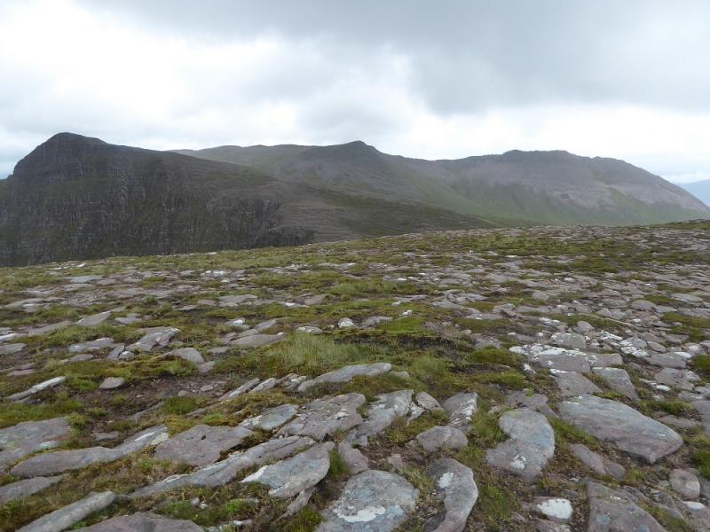
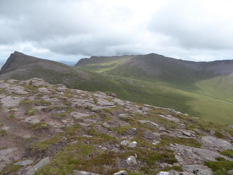
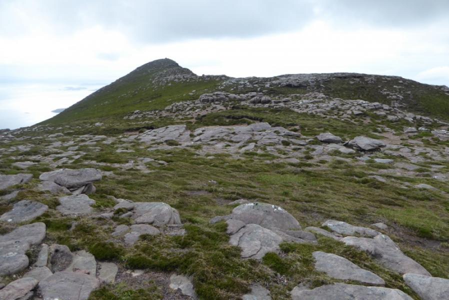
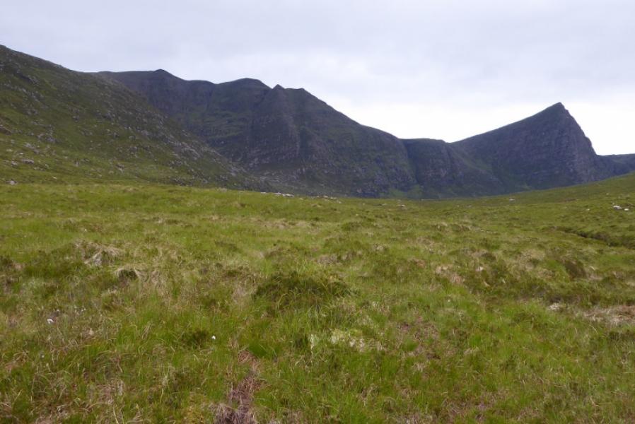
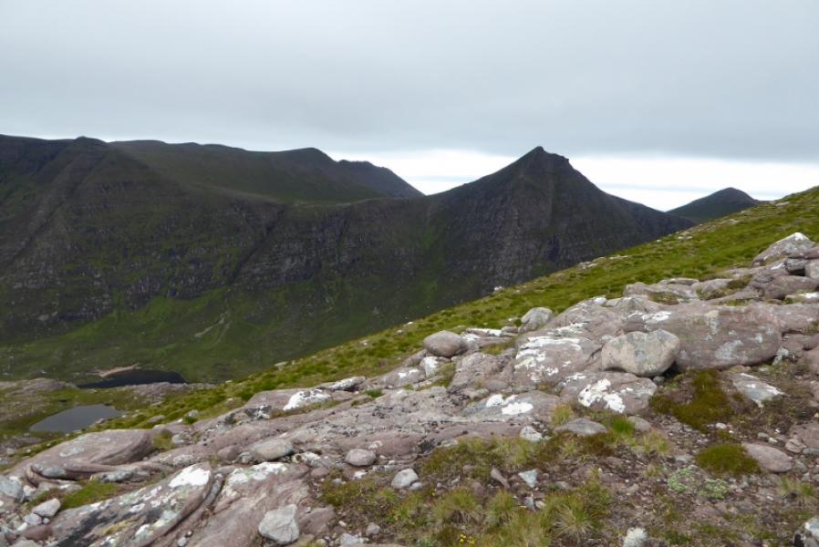
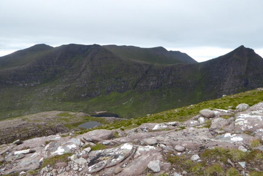
(1) Walk along the road to the bridge immediately after the turning circle. The path strikes uphill just after the bridge and is fairly distinctive. Follow the path up moderately steep slopes until the angle eases. Not much further, the path splits at a small cairn. Take the right fork and follow it as it traverses the hillside heading towards the rocky crest of Speicein nan Garbh-choireachan. The path eventually becomes too faint to follow so continue on the same line to reach the top of the obvious ravine where an equally obvious path can be seen on the far side. Cross over the stream to reach this path and follow it towards Speicein nan Garbh-choireachan. This path also becomes faint so head across towards the crest and reach a flattish area. From here start picking a way up the nose. It is fairly steep but the ground is good. If a path is not found then one soon will be as height is gained. Higher up, the main path stays below the crest, usually on the N side. The highest point on Speicein nan Garbh-choireachan is marked by a small cairn. Continue along the narrow crest until the ridge broadens. Go N and ascend easy slopes to a low shelter cairn which is the summit of Ben Mor Coigach, 743 m.
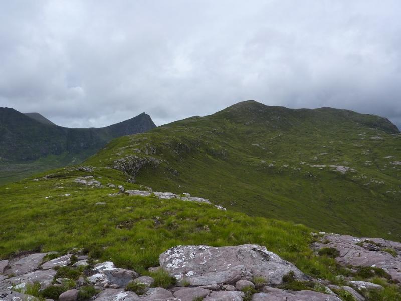
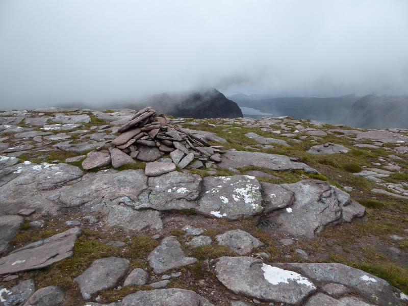
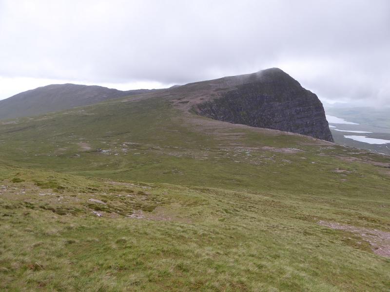
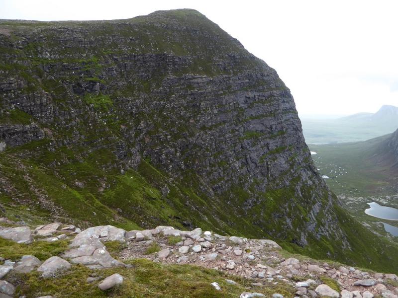
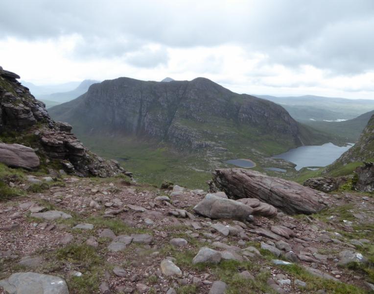
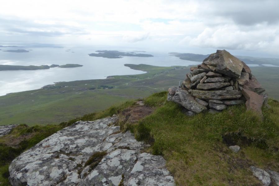
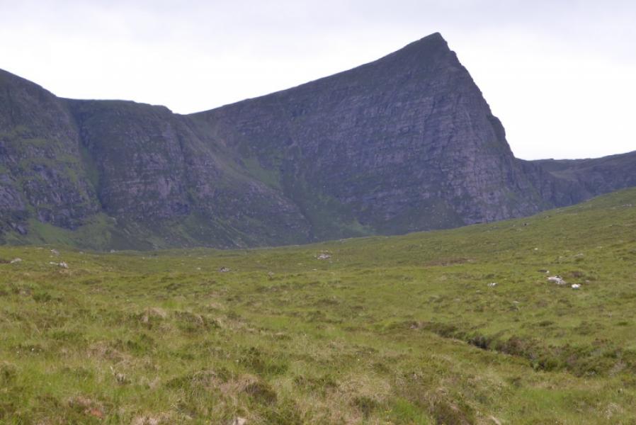
(2) Descend SE to reach a path going roughly E and continue, over a minor top, to reach the top of Speicein Coinnich which is marked by a medium cairn. Descend WNW from here to reach the col below Sgurr an Fhidhleir whose huge rocky prow will be obvious in clear weather. Follow the edge up to the medium cairn which is the summit of Sgurr an Fhidleir, 705 m. There are sheer drops on all sides except the way of ascent.
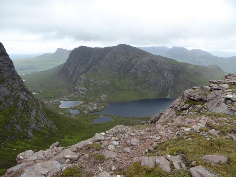
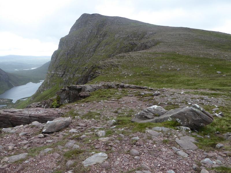
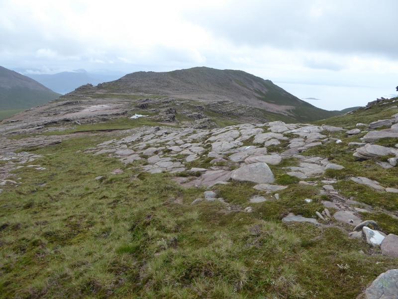
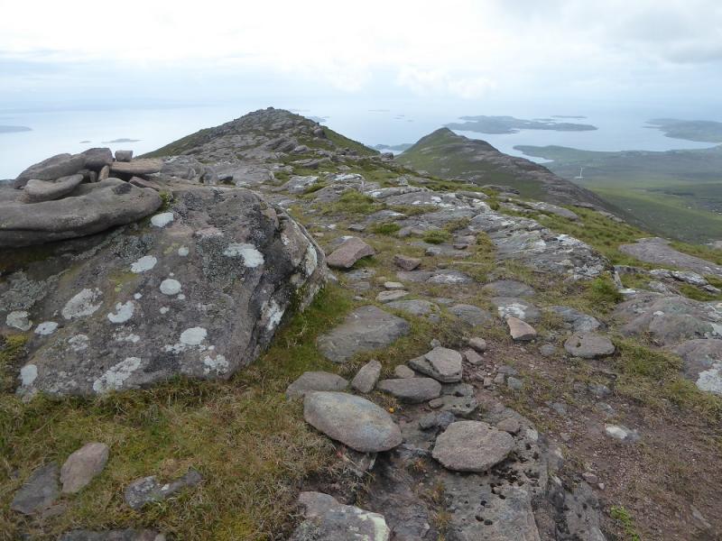
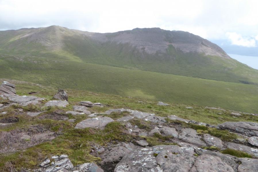
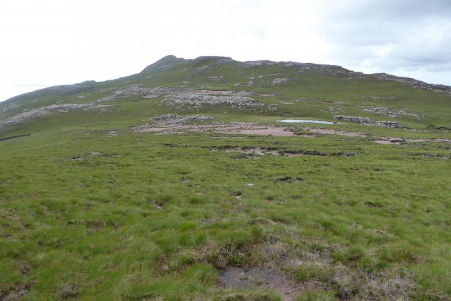
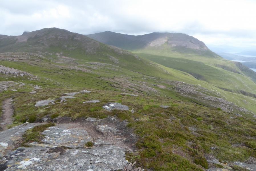
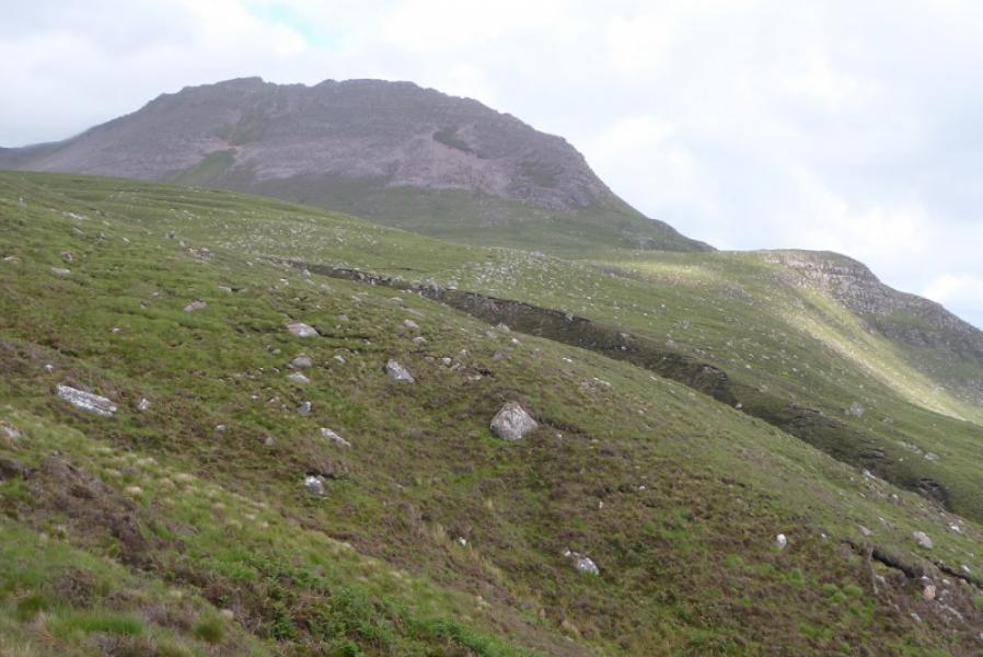
(3) Descend roughly WSW on stony slopes to reach a broad col then follow the edge up to the top of Pt. 648 which is marked by the second cairn encountered. From here go slightly W of S to reach a flat area then ascend slightly S of W to reach the small cairn marking the summit of Beinn nan Caorach. Continue along the crest and descend to the very broad col before Cairn Conmheall then continue in roughly the same direction up easy slopes to reach the small cairn marking the summit of Cairn Conmheall with a good path for the final section. Retrace about 100 m then descend back into the S end of the col below Beinn nan Caorach. Descend slightly W of S soon following a stream down the moderately steep hillside with an intermittent faint path. The stream leads down to the bridge near the start but it is possible to head directly for the car park lower down.
Notes
(a) This walk took place on 25th June, 2017, and about 20 years earlier in reverse.
Photos - Hover over photo for caption. Click on to enlarge. Click on again to reduce.