Get Lost Mountaineering
You are here: Scotland » 16 Coigach to the Pentland Firth » Ledmore Junction to Laxford Bridge
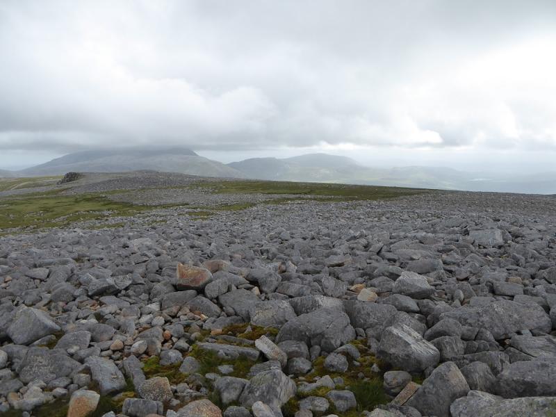
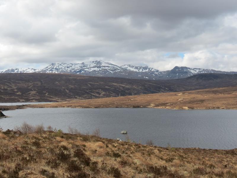
Conival & Ben More Assynt from Inchnadamph
Conival & Ben More Assynt from Inchnadamph
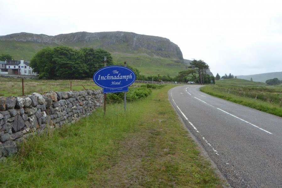
Start/Finish
Large car park at entrance to Inchnadamph Hotel which is on the A837 road between Ullapool and Lochinver.
Distance/Time
19 km. About 9 hours.
Peaks
Conival, 987 m, NC 303 199.
Ben More Assynt, 998 m, NC 318 201.
South Top, 960 m, NC 324 192. OS map 15: Loch Assynt.
Introduction
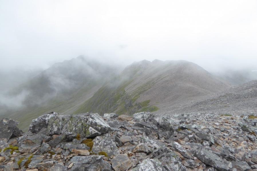
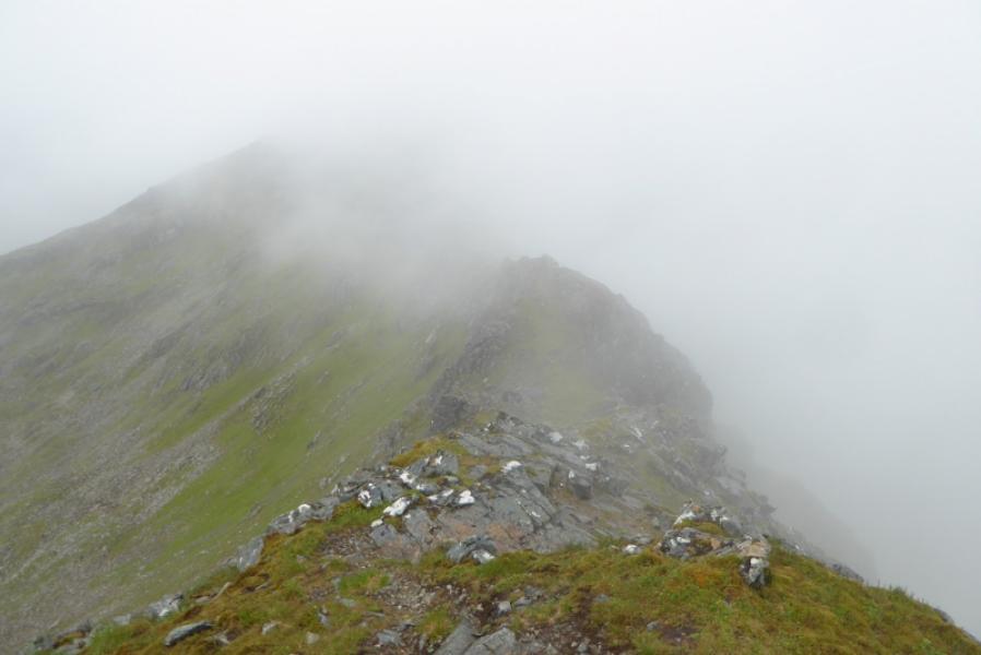
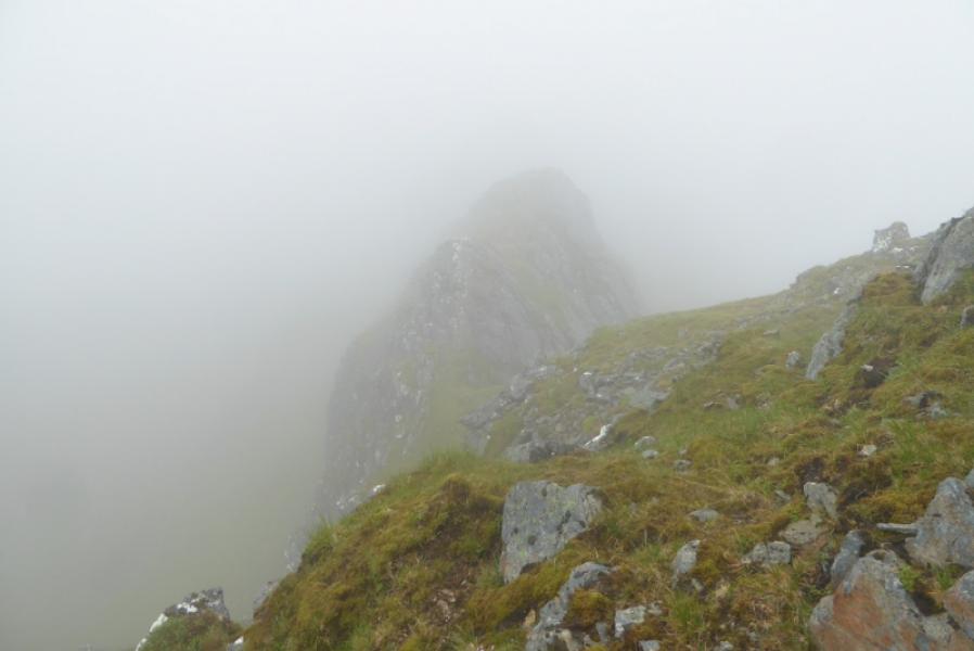
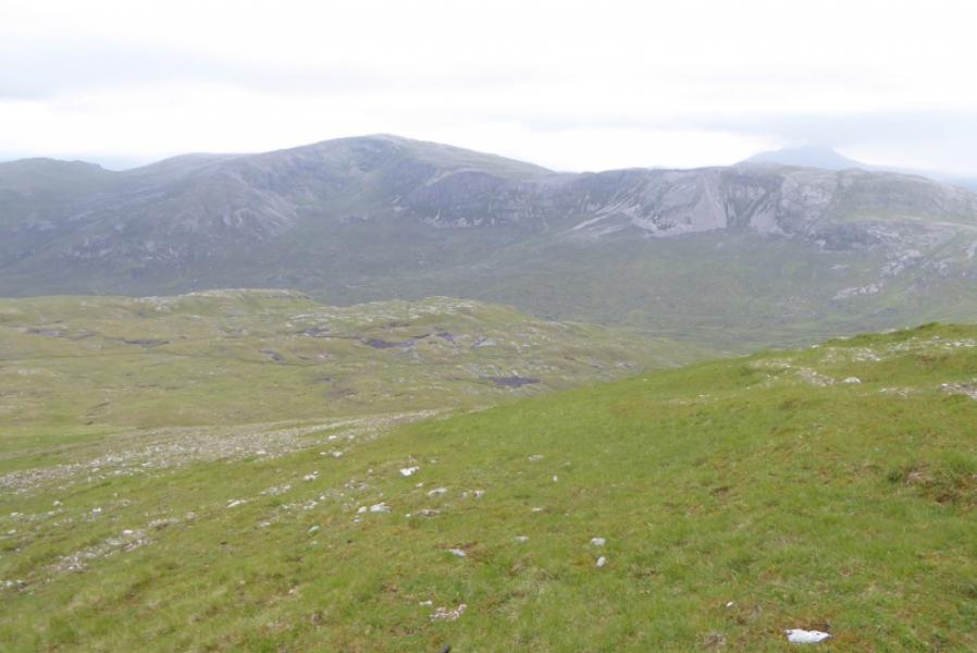
This is a tough and strenuous walk over quite a lot of stony and boggy terrain. The continuation to the South Top is along a narrow crest with some rocky towers. One of these is quite exposed and is traversed by a good “ledge” on the right but this is very slippery when wet and many will want to avoid it and a diversion is possible on the left (details below). The direct descent from the South Top is incredibly steep and quite awkward at the bottom so is best avoided as you may find yourself having to climb back up to the crest! There are excellent views on a clear day to all the nearby mountains including Quinag and Canisp.
Route
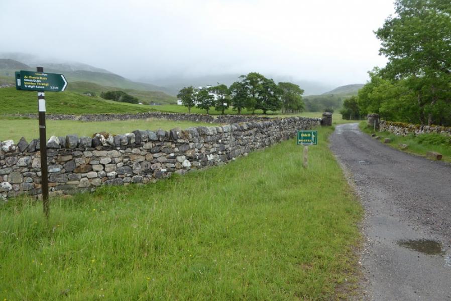
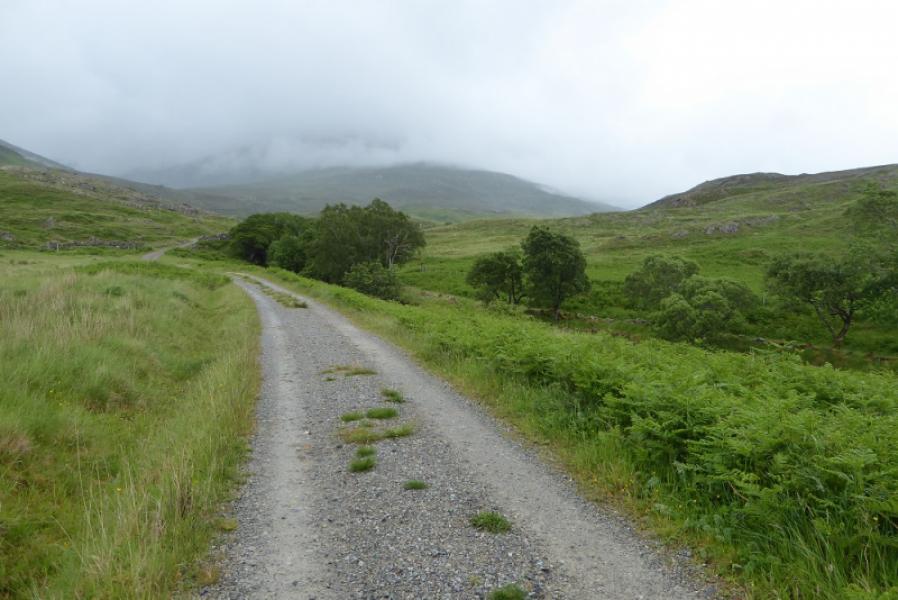
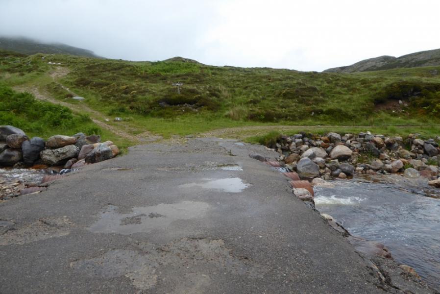
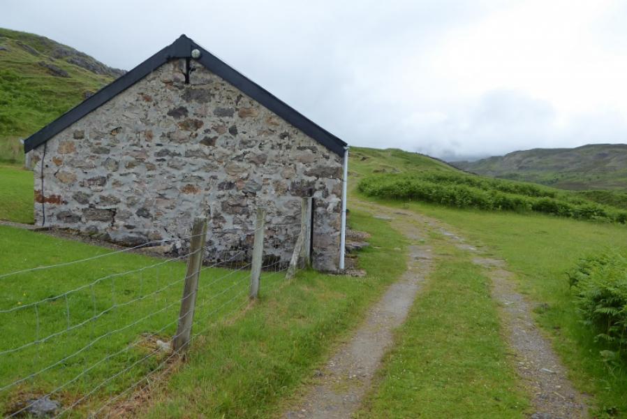
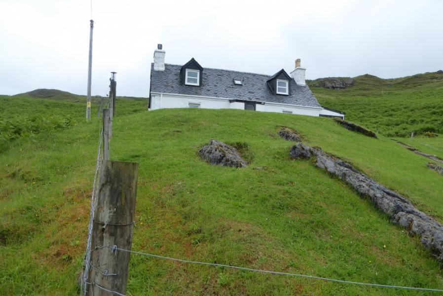
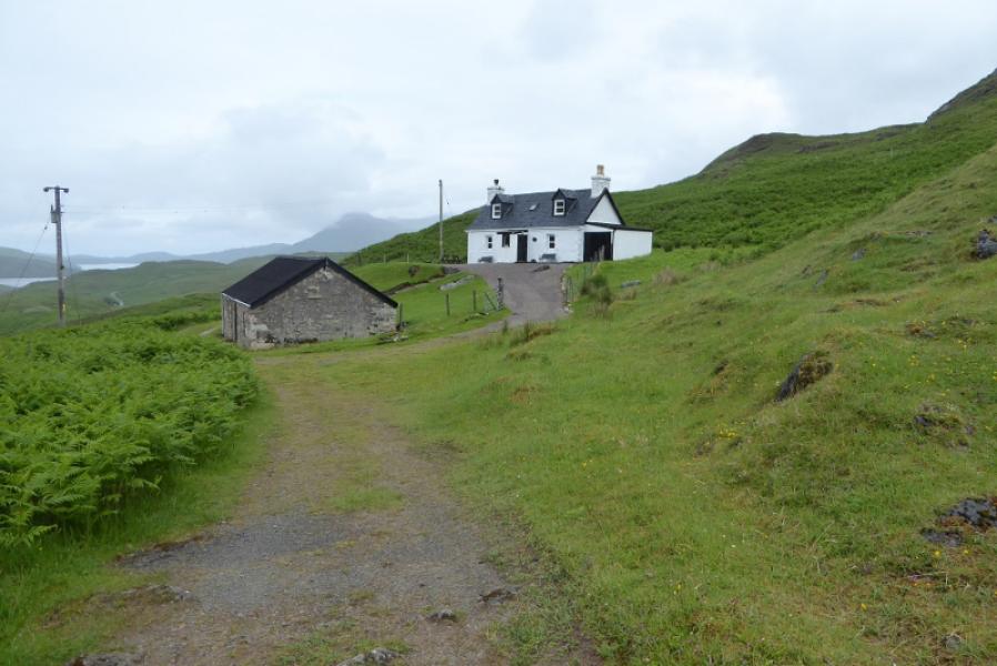
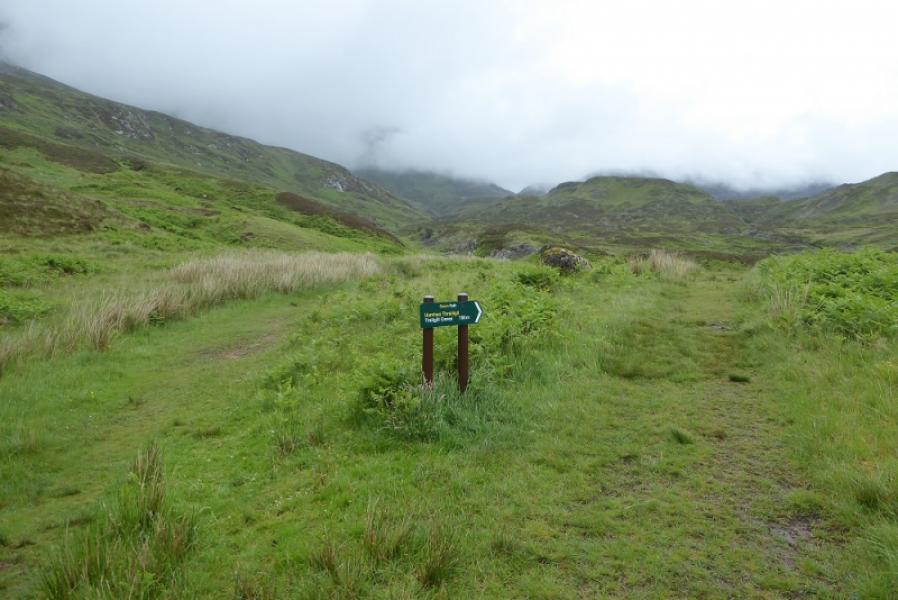
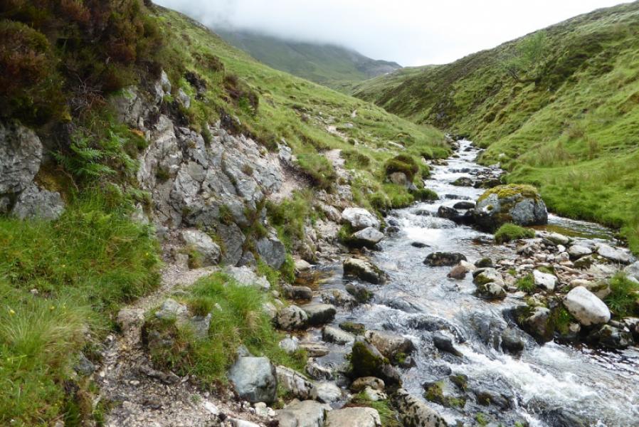
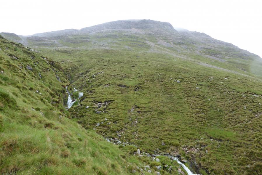
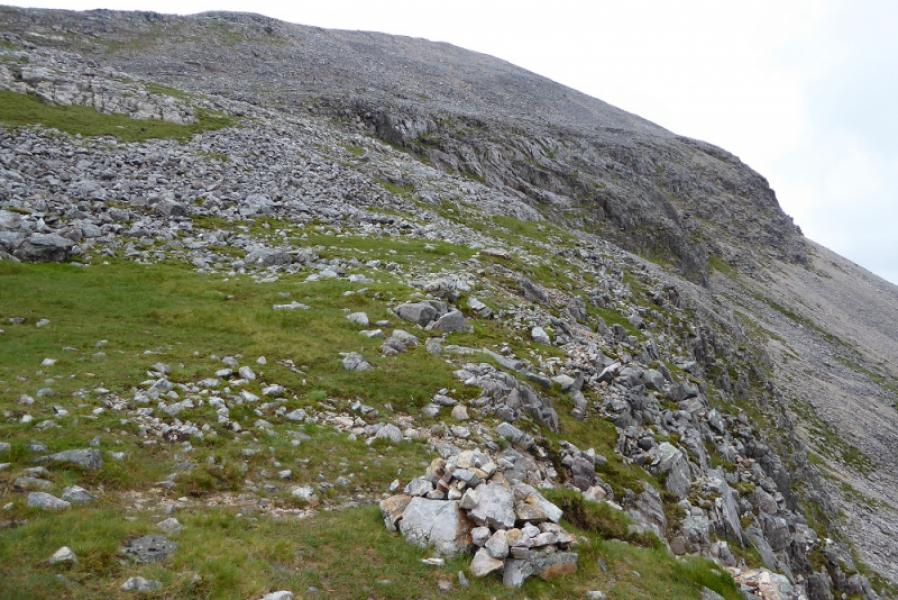
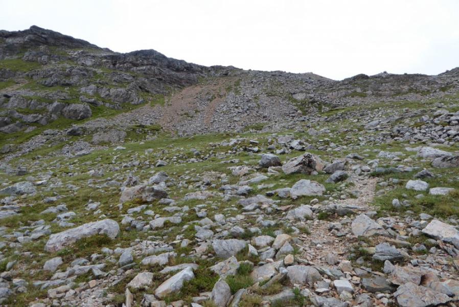
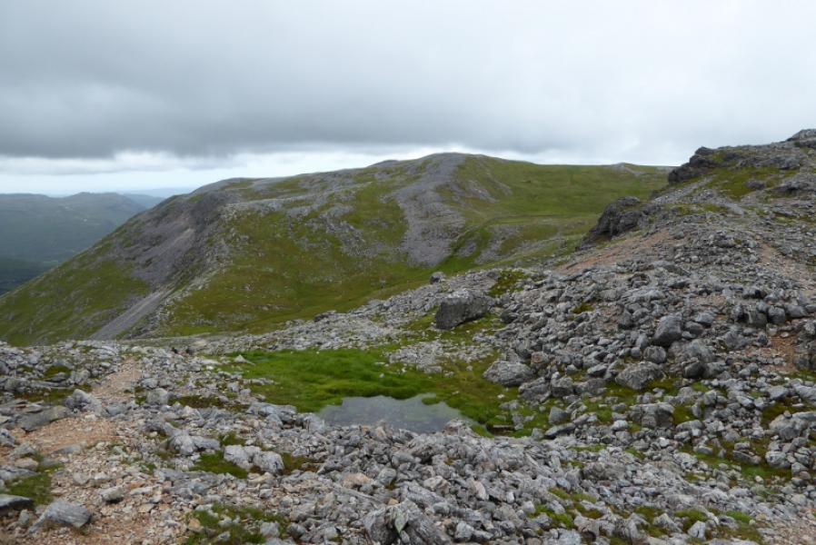
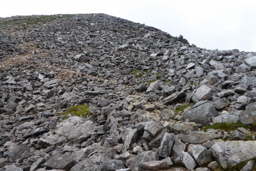
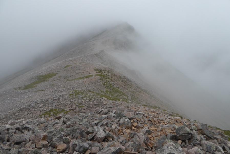
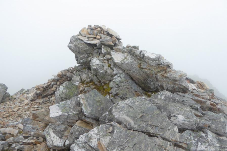
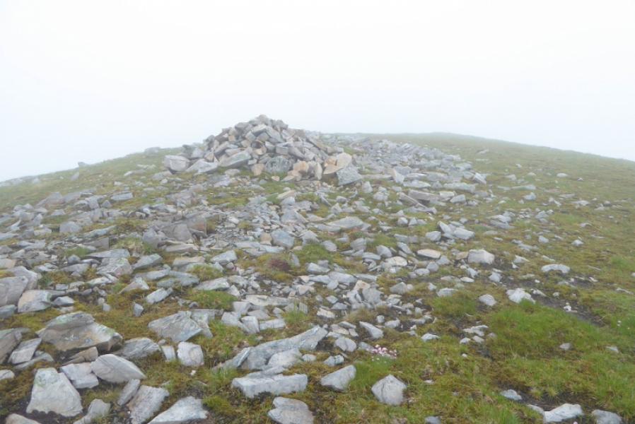
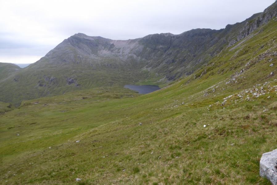
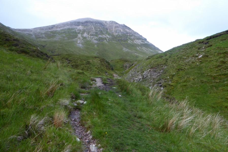
(1) Walk out of the car park onto the main road and head N. Cross the bridge then take the track towards Inchnadamph Lodge (different from the hotel!). Walk up the track to the cottage at Glenbain. Continue on the track which soon reaches an old corrugated iron shed then becomes a grassy track. Reach the sign for the caves and take the left fork here not the path for the caves. Continue on this path which is very boggy in places. There is one short section over easy rock by the river. Continue on the path which later turns roughly NE and climbs more steeply. The path is generally more stony now but there are boggy sections. Reach the foot of the low cliffs below the escarpment where the path offers two alternatives. The direct route goes up a groove which is an easy scramble to a cairn at the top. The other route seems easier and goes off to the left to tackle an easier ascent. Once on the escarpment, the path initially goes E, with the prominent PT. 860 visible in the distance, before turning S and picking its way up the N ridge of Conival. There are a few tops before the large shelter cairn is reached which seems to be the summit of Conival, 987 m. Looking back some of the tops passed just before the summit appear to be of similar height.
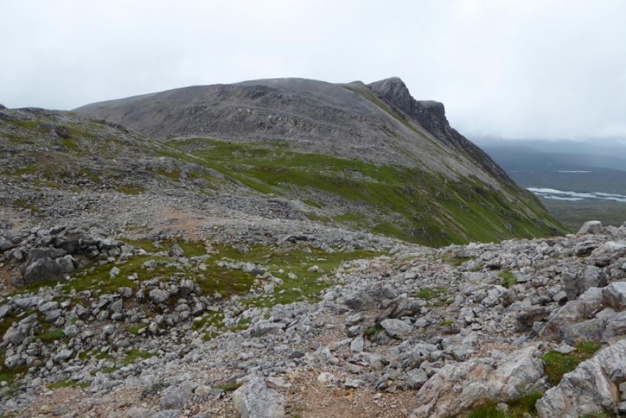
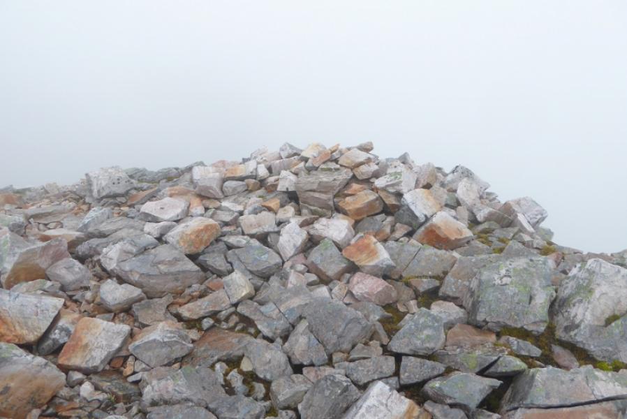
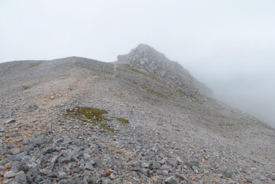
(2) Follow the path, roughly E, down from the summit. This goes through a bouldery area where there seems to be several alternative paths before the ridge becomes well defined. Continue along the stony ridge, crossing a minor top before reaching the summit area of Ben More Assynt. There are two tops about 100 m apart. The NW top seems to be the higher and the SE top, which has a sort of crude walled shelter below it, seems to be the lower top. The NW top has two cairns and it appears that the further one is the higher so this is the summit of Ben More Assynt, 998 m.
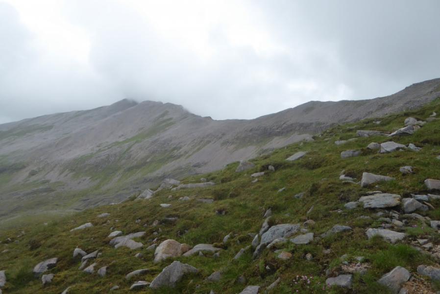
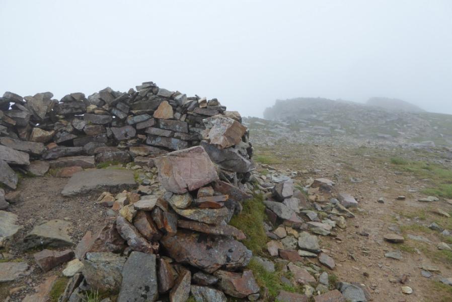
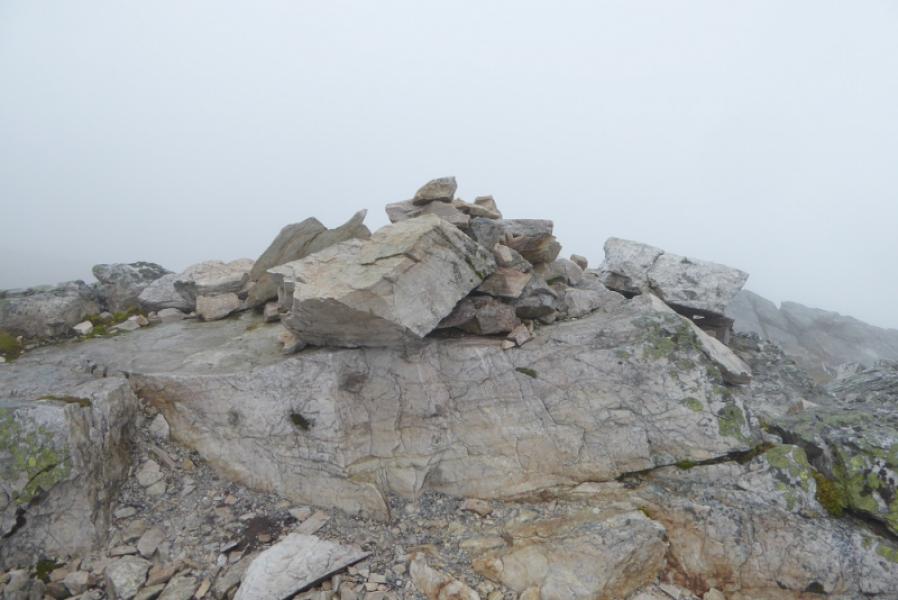
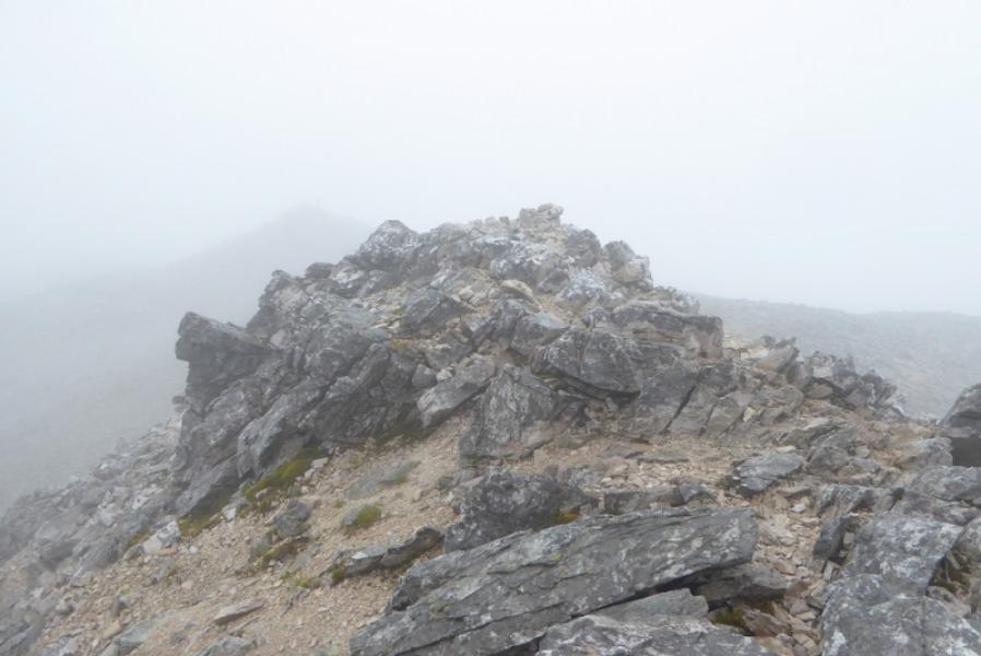
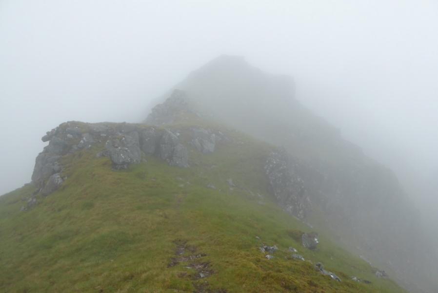
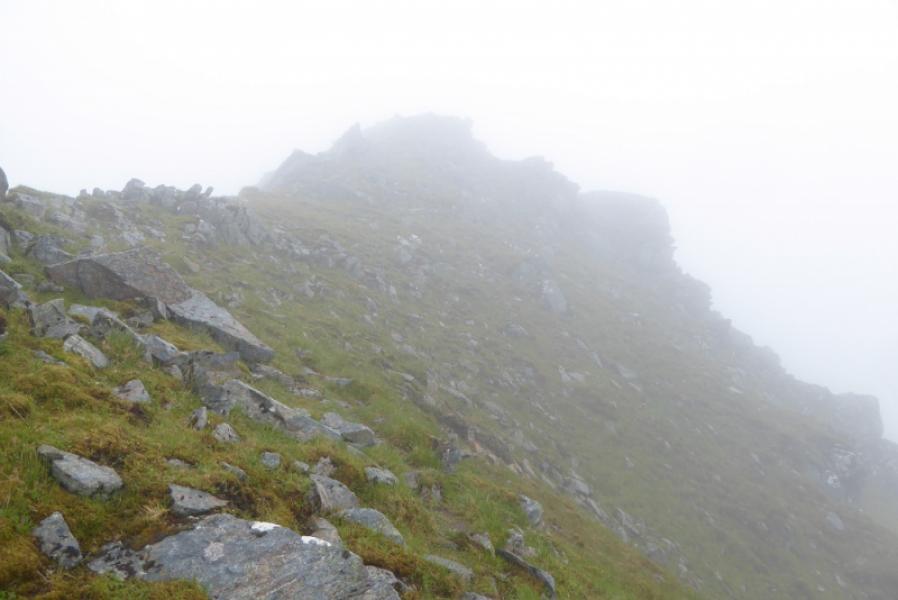
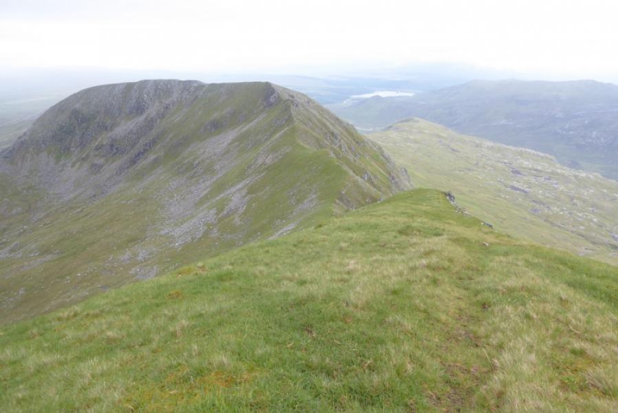
(3) If not continuing to Ben More Assynt South Top then return by the route of ascent otherwise head SE from the SE Top on a path which may not be immediately obvious. The crest soon narrows but is not difficult to begin with and the path is a good guide as to which way to go. The only real difficulty is a small tower where the path leads to its right hand side and over a rough “ledge”. This is quite exposed on the right but the ledge is likely to be within the scope of many with previous experience if it is dry. If it is wet and slippery, many will want to avoid it. In this case, retrace along the crest until you can descend below it on the E side then traverse on the grass below the tower before ascending up a steep grassy gully to regain the crest. This diversion is not that easy but easier than the the crest route. There may be an easier route if you traverse further. Once past this tower, the going is little more than an easy walk which leads to a large cairn which is the summit of Ben More Assynt South Top, 960 m.
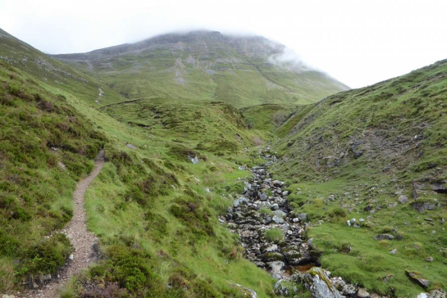
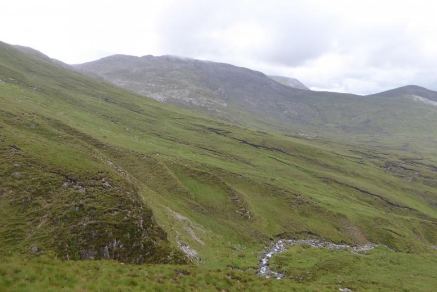
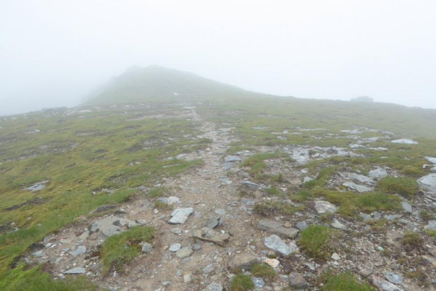
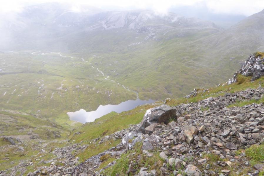
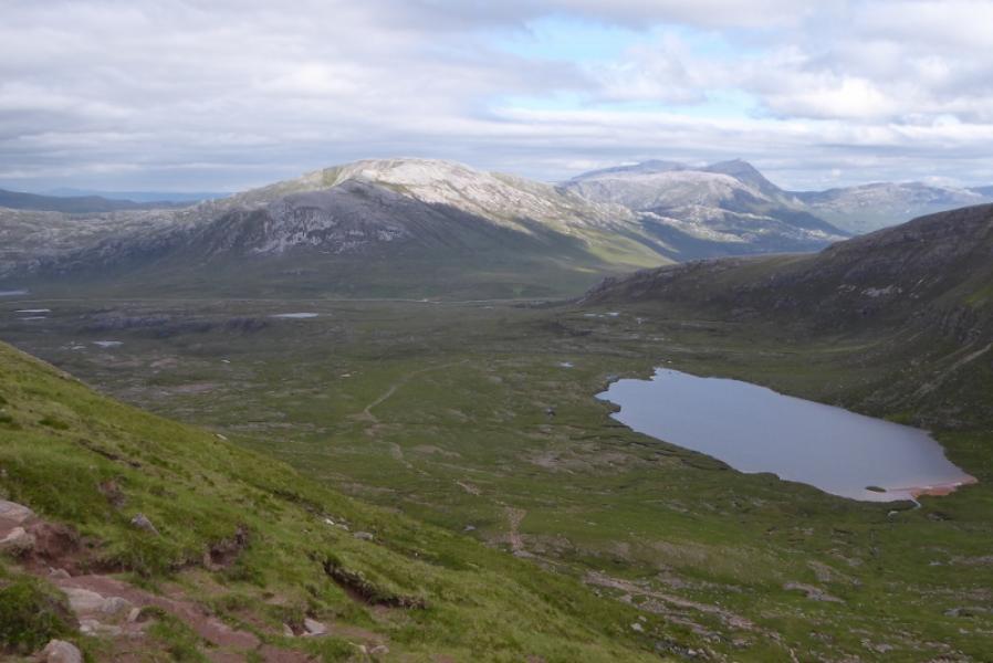
(4) The shortest return is to retrace the outward route. Some guide books suggest descending down to Dubh Loch Mor below but this is very steep and awkward at the bottom. The easiest way down is to continue along the ridge to the col before Cairn nan Conbhairean. Either traverse or go over this top then descend roughly SSE down easy grassy slopes heading for the flat ground S of Loch Dubh Mor. Then head N, passing Loch Dubh Mor on its W side. This means crossing its outflow which is not too difficult in normal conditions. Continue to the end of the loch on undulating, sometimes boggy, ground. Traverse W, just above the steep slope, going around the foot of the SE ridge of Conival and heading for the pass below Breabag Tarsuinn where a path will be met. This is intermittent but heads roughly NW. It is soon well above the stream to the left and heads towards the stream below the outward path at about the foot of the stony section of the outward path but disappears well before then. Cross the stream in the deep grassy gully, usually straightforward, and join the outward path which can be followed back to Glenbain and the start.
Notes
(a) This walk took place on 27th June, 2017, and about 20 and 30 years earlier.
Photos - Hover over photo for caption. Click on to enlarge. Click on again to reduce.