Get Lost Mountaineering
You are here: Scotland » 16 Coigach to the Pentland Firth » Lochinver & Inverpolly
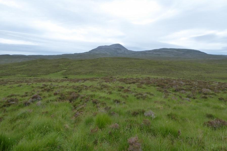
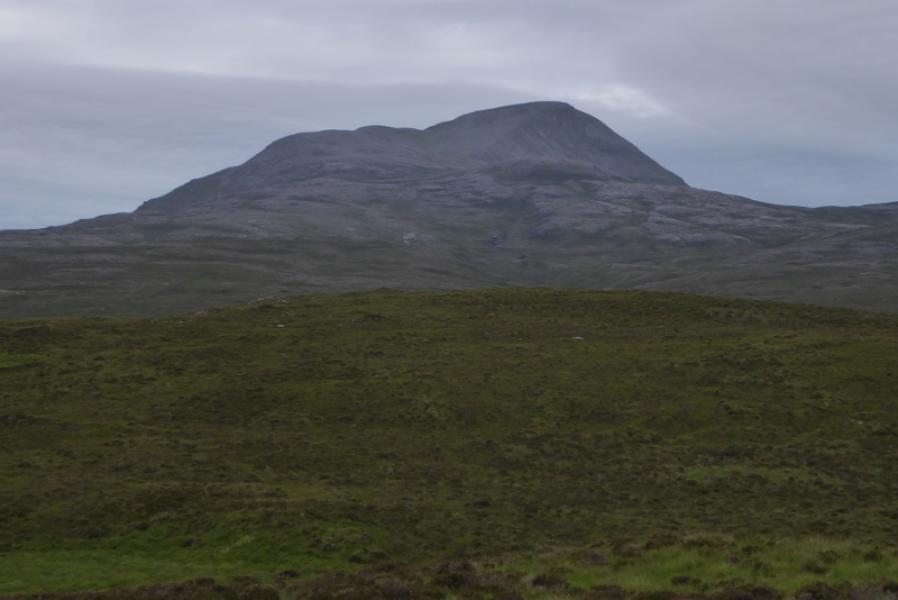
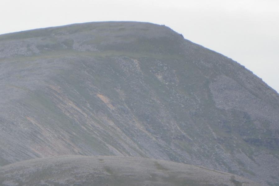
Canisp from A837 to East
Canisp from A837 to East
Start/Finish
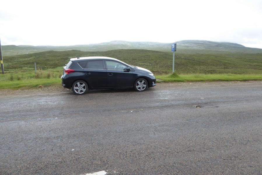
Lay by about 2 miles north of Ledmore Junction where A837 and A835 meet. This is about level with the north end of Loch Awe. It is just under 4 miles south of Inchnadamph. There is unmarked parking about 400 m south if needed.
Distance/Time
12 km. About 5 – 6 hours.
Peaks
Canisp, 847 m, NC 203 187. OS map 15: Loch Assynt.
Introduction
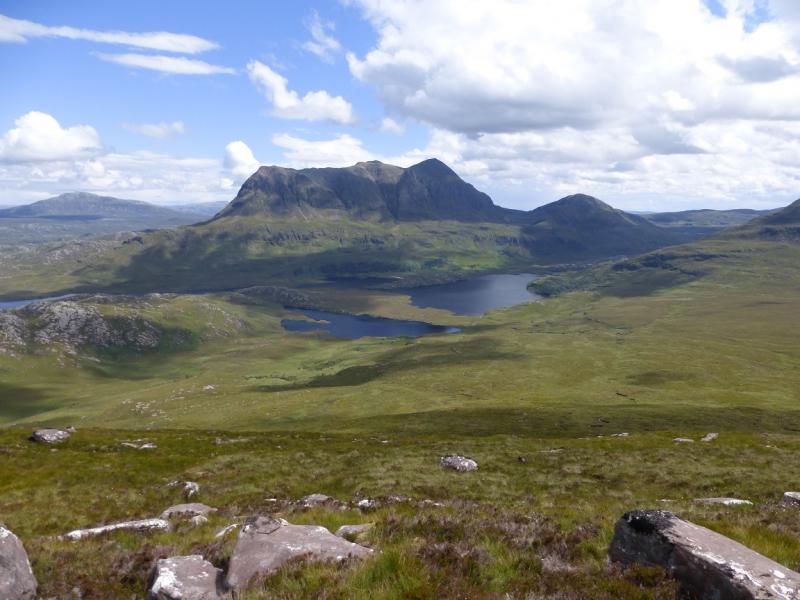
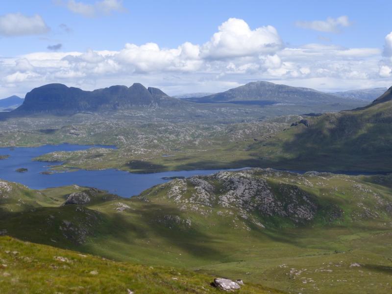
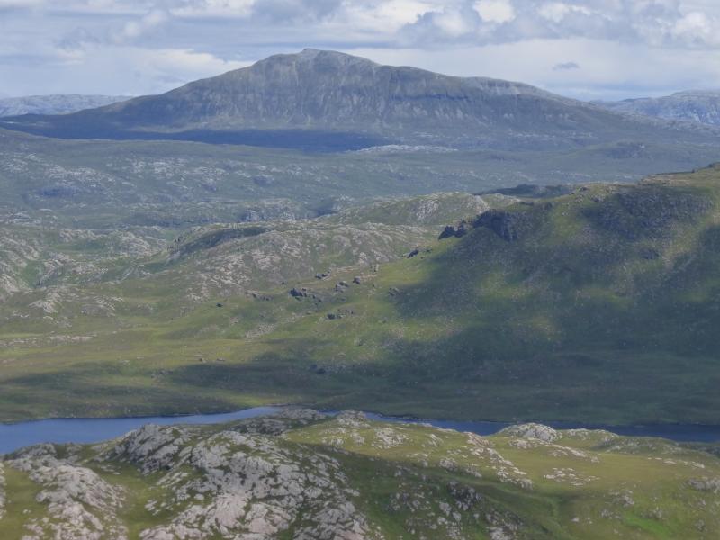
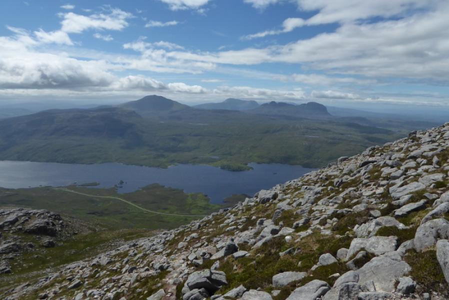
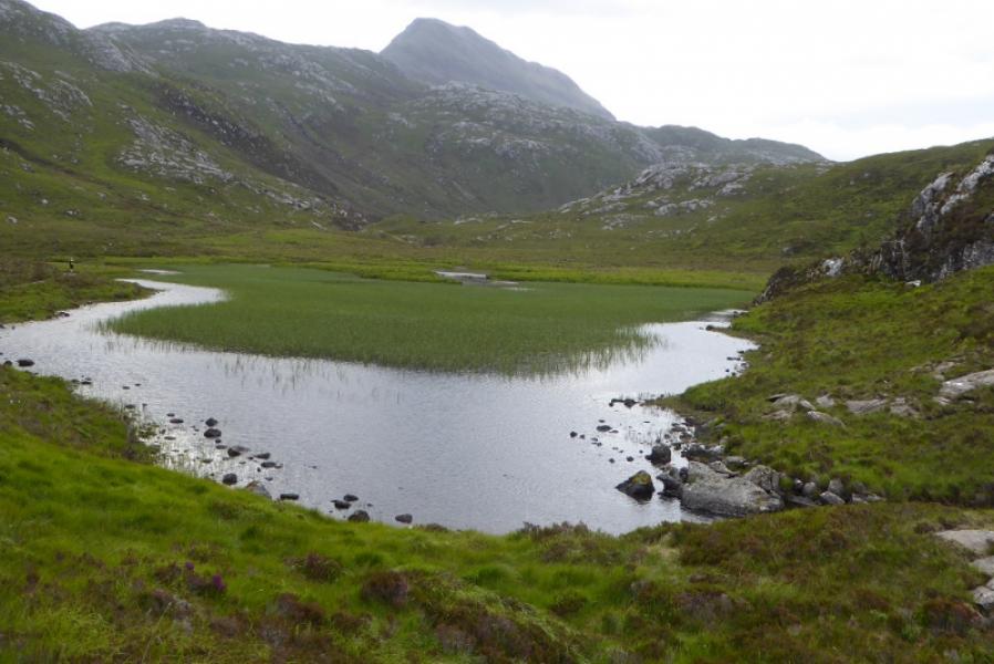
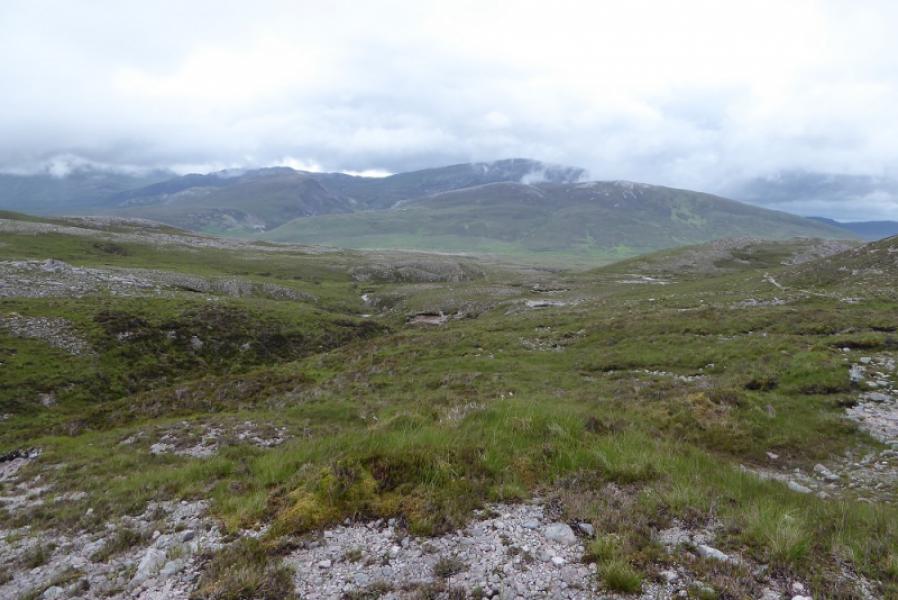
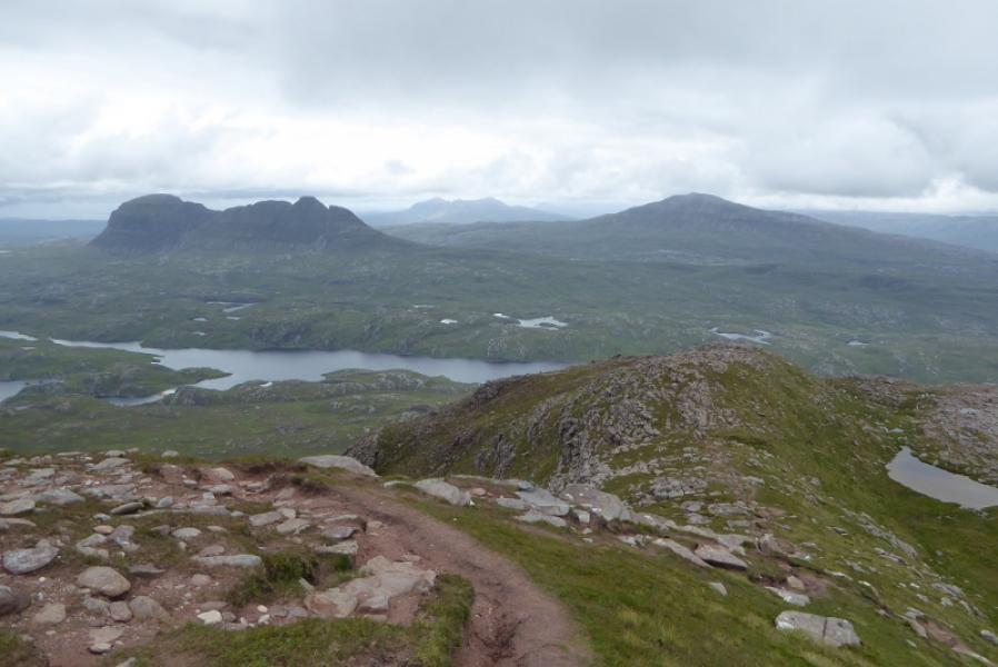
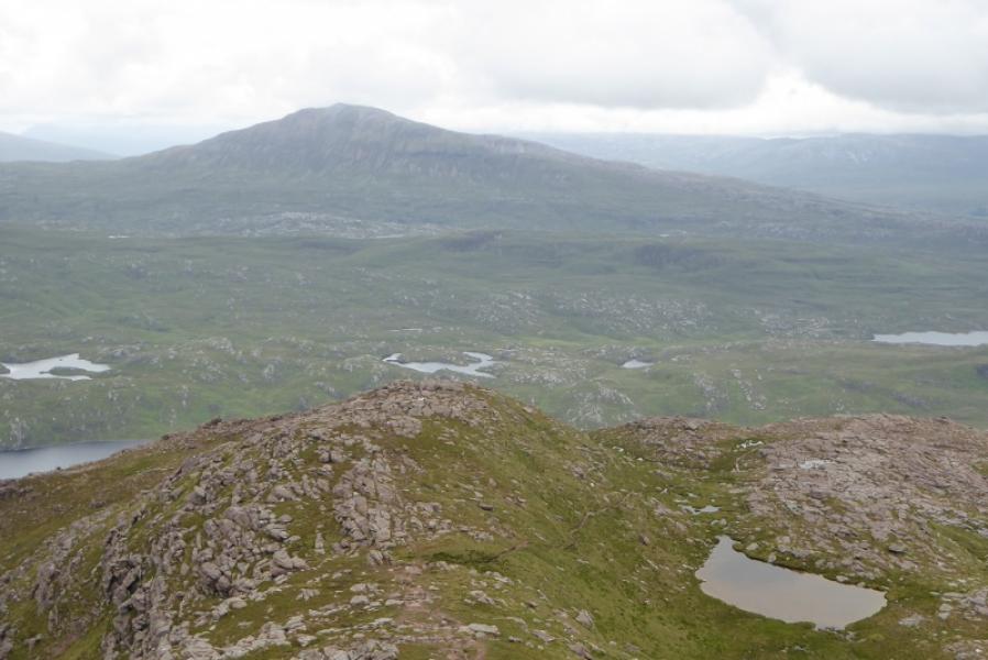
The wide cone of Canisp is well seen from most directions and, on a clear day, it is a good viewpoint for Suilven, Stac Pollaidh, Breabag, Quinag and Ben More Assynt. The ascent can be wet and boggy low down and very stony high up.
Route
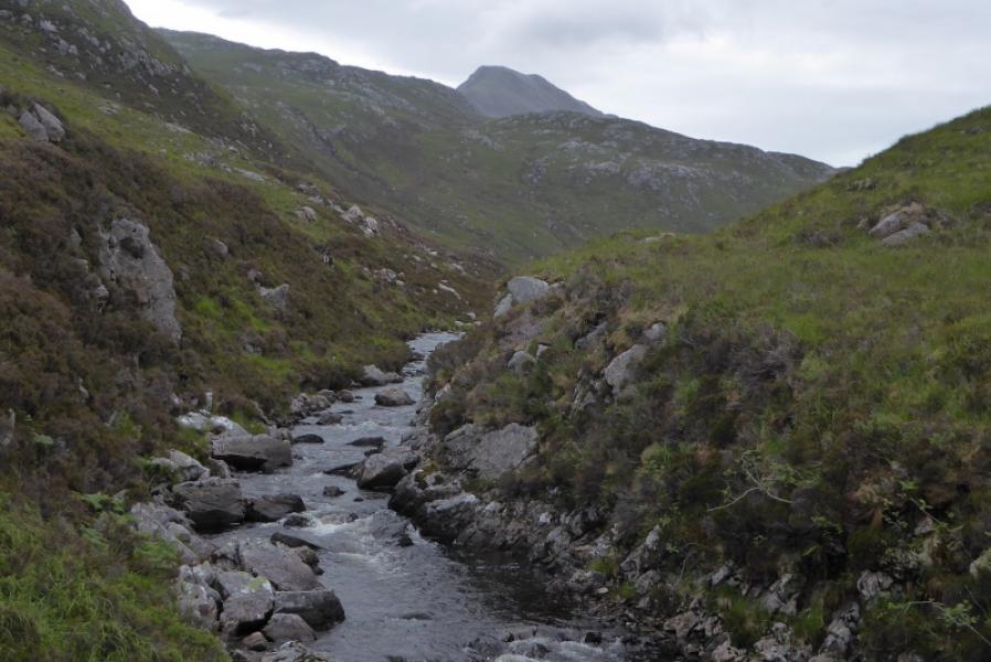
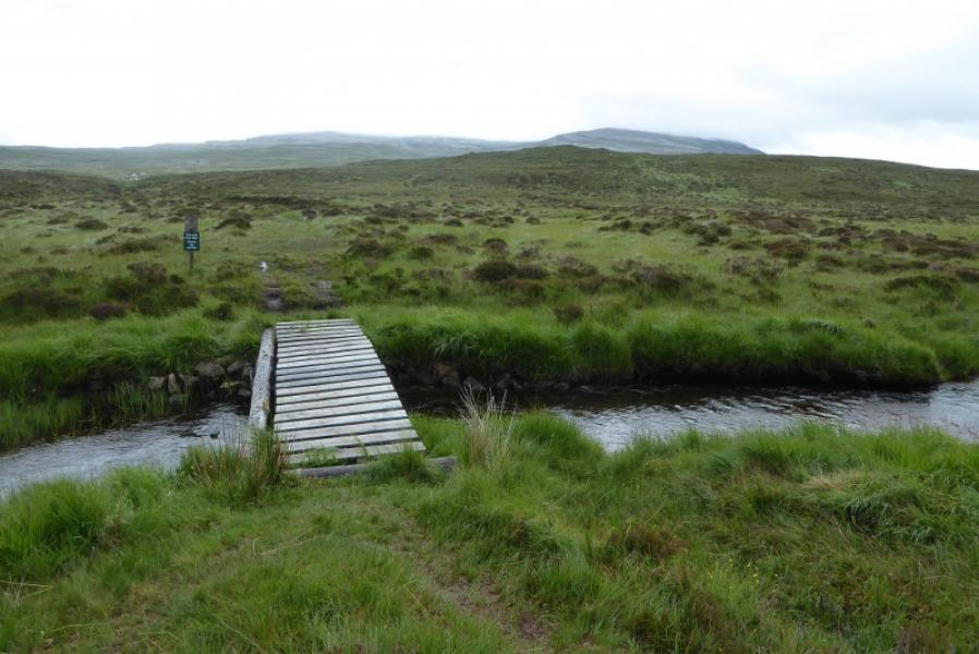
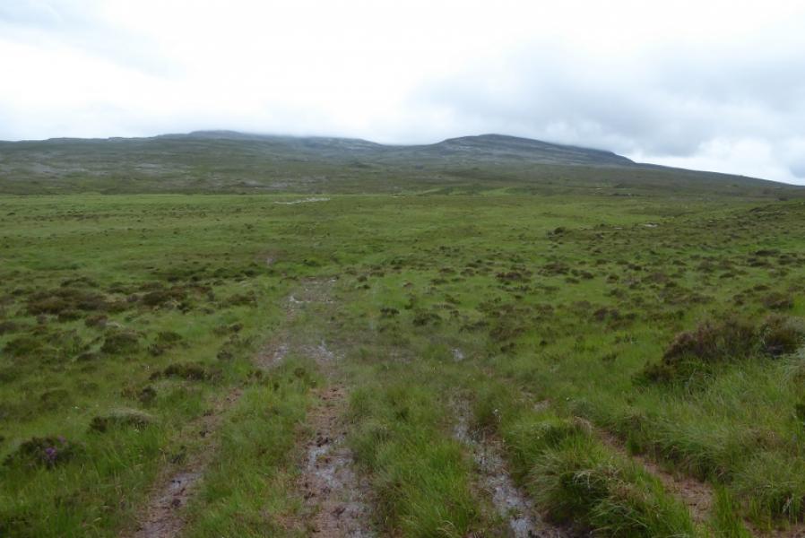
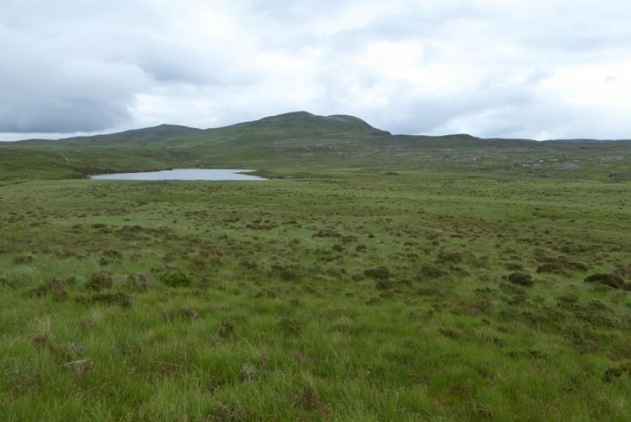
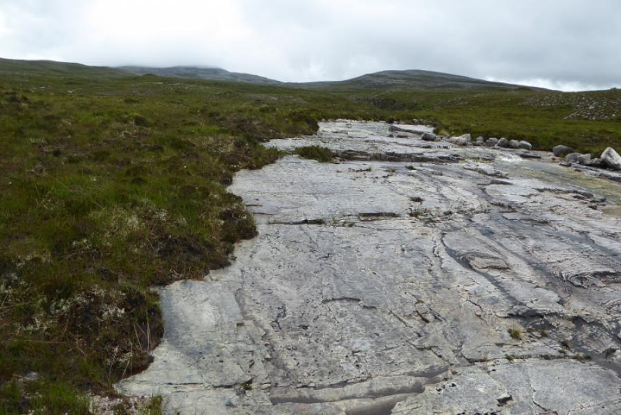
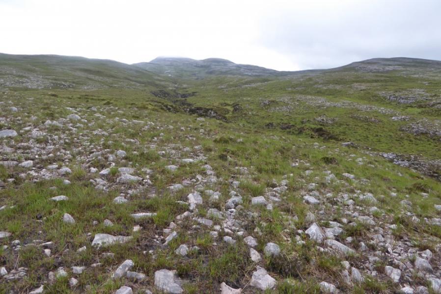
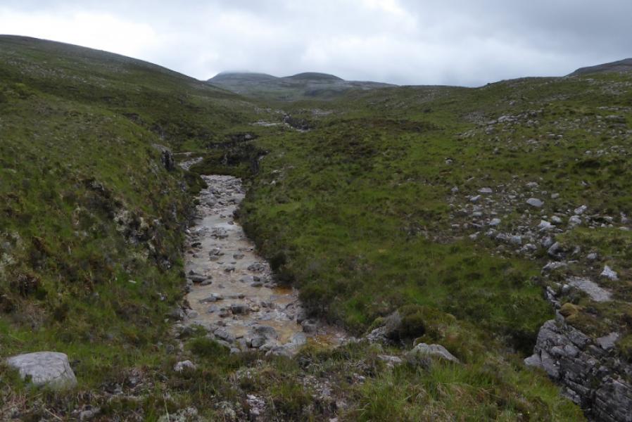
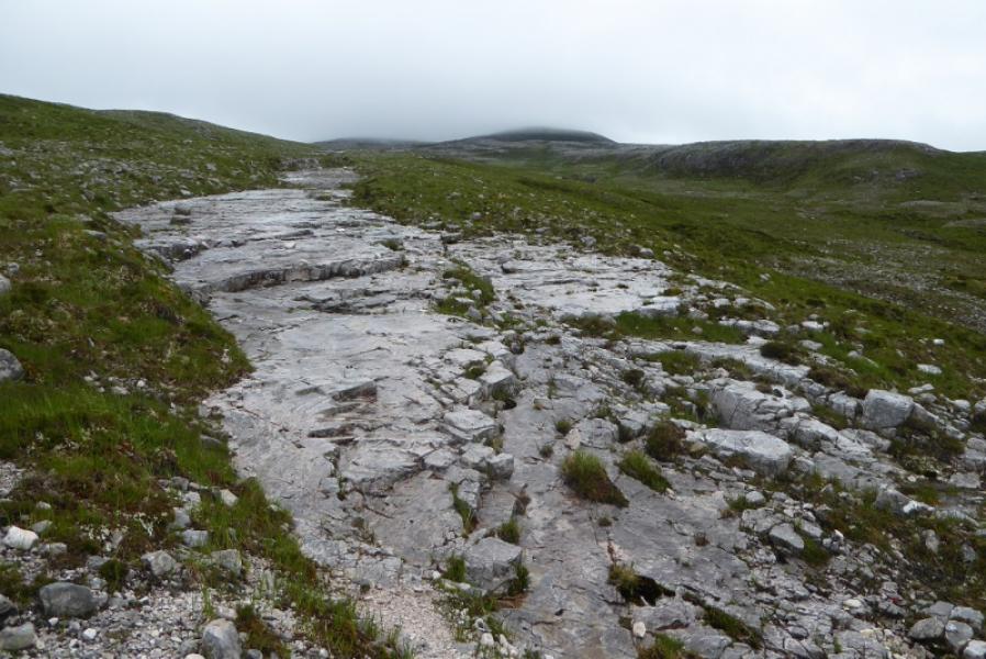
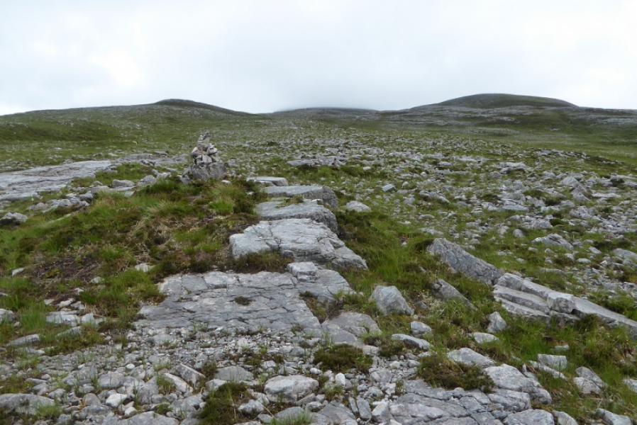
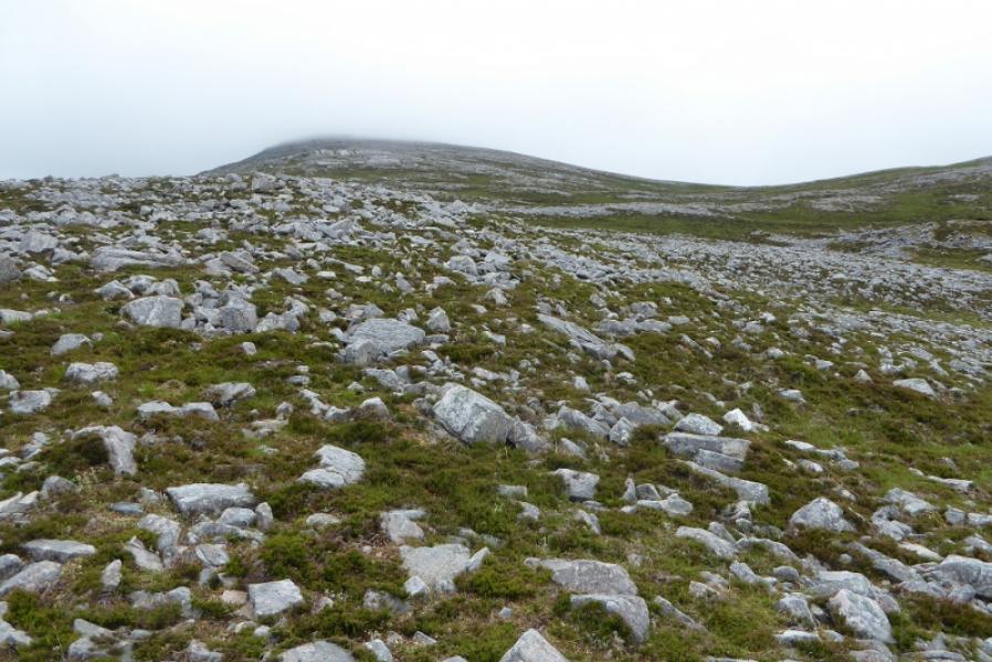
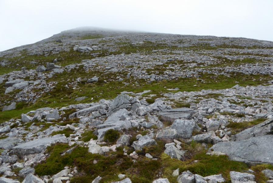
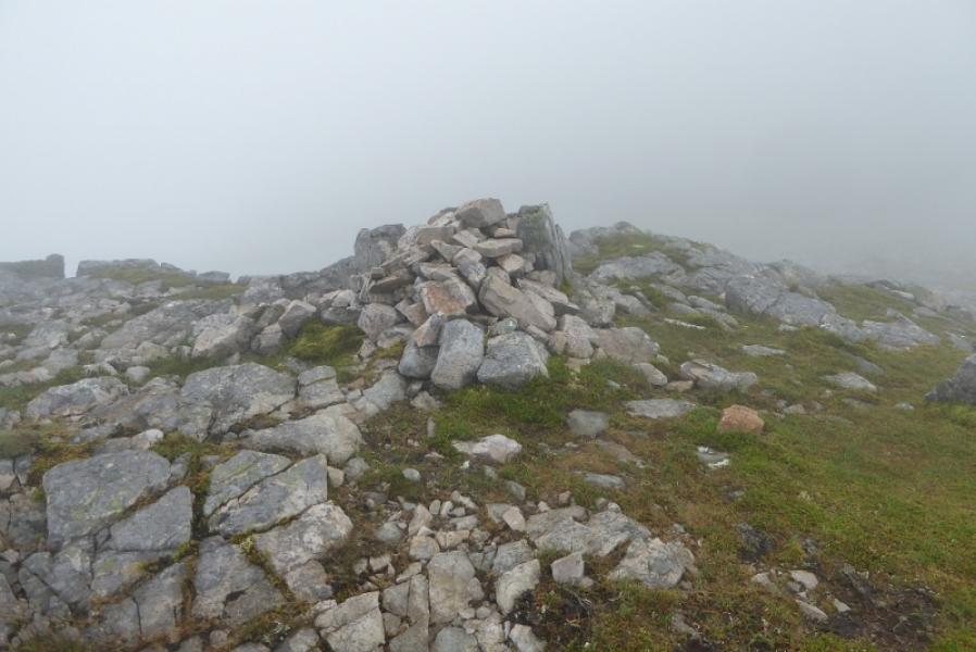
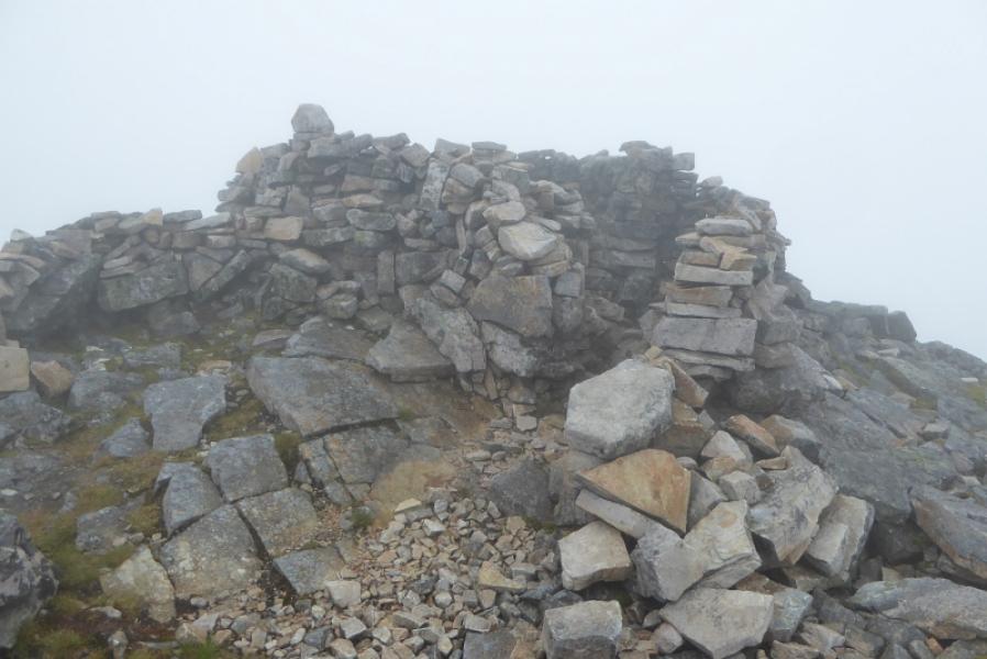
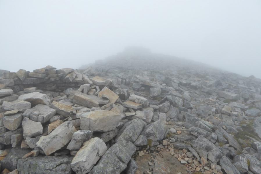
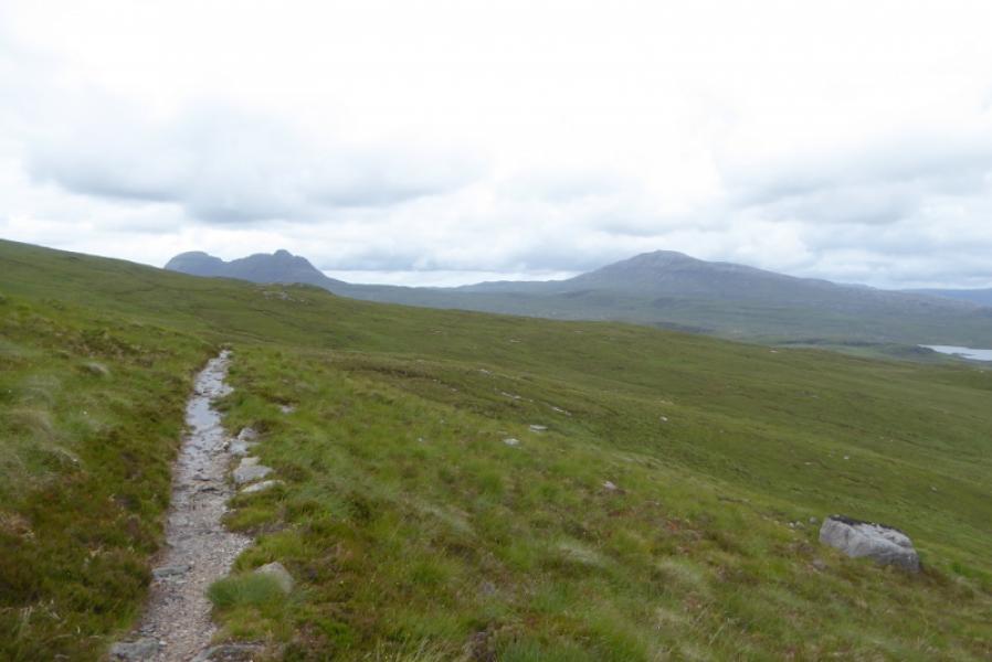
(1) Follow a wet path to the low bridge (not well seen from the road) near the outflow of Loch Awe. Cross this and follow a faint path roughly WNW. The Allt Mhic Mhurchaidh Gheir, the main stream flowing off this side of Canisp, is easily crossed lower down. Keep well to the left of this. Higher up, there is a distinctive path which crosses some long quartzite “pavements”. Higher up still, the path becomes too faint to follow easily so continue the ascent on as much grass as possible. There are some cairns but these appear to pull one to the left where it is much more stony. Much higher up, it is possible to drift left without it being too stony. There is a cairn on the W edge of the S shoulder about 500 m from the summit which could be mistaken for the summit in thick mist. To the right of here, there is a distinctive path up a moderately steep grassy slope after which the path is more faint. Continue up, avoiding much of the boulder field on the left before going right, across the boulder field, to a broken shelter cairn beyond which is a much larger shelter cairn with a “passage” into it. This is the summit of Canisp, 847 m. It is close to the N edge.
(2) Retrace the outward route being careful in mist as the ground has no obvious features. Descending roughly SE then ESE should take one to the Allt Mhic Mhurchaidh Gheir but diverting around stony ground needs to be taken careful account of to keep the correct overall line.
Notes
(a) This walk took place on 30th June, 2017, and about 20 years earlier.
Photos - Hover over photo for caption. Click on to enlarge. Click on again to reduce.