Get Lost Mountaineering
You are here: Scotland » 16 Coigach to the Pentland Firth » Ledmore Junction to Laxford Bridge
Breabag from A837 via Allt nan Uamh
Breabag from A837 via Allt nan Uamh
Start/Finish
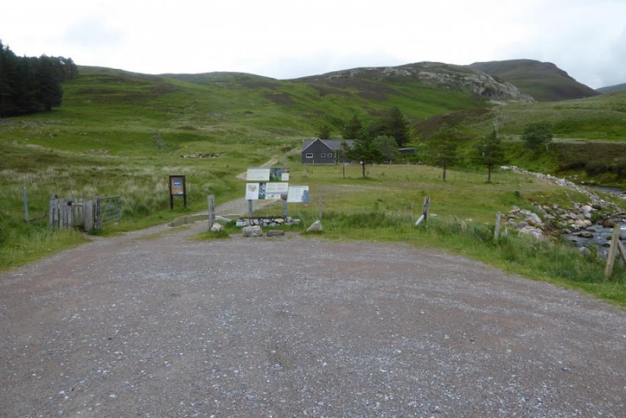
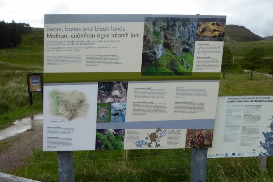
Car parkabout 3 miles north of Ledmore Junction where A837 and A835 meet. This is about level with the north end of Loch Awe. It is about 5 miles south of Inchnadamph. The car park is primarily for those visiting the caves passed on this route.
Distance/Time
11 km. About 5 hours.
Peaks
Breabag, 815 m, NC 287 157. OS map 15: Loch Assynt.
Introduction
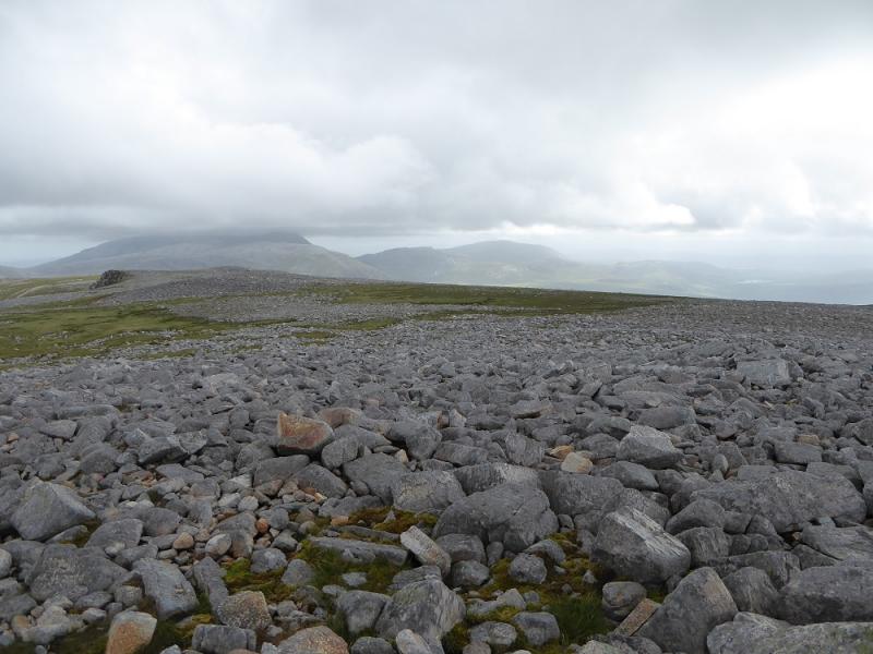
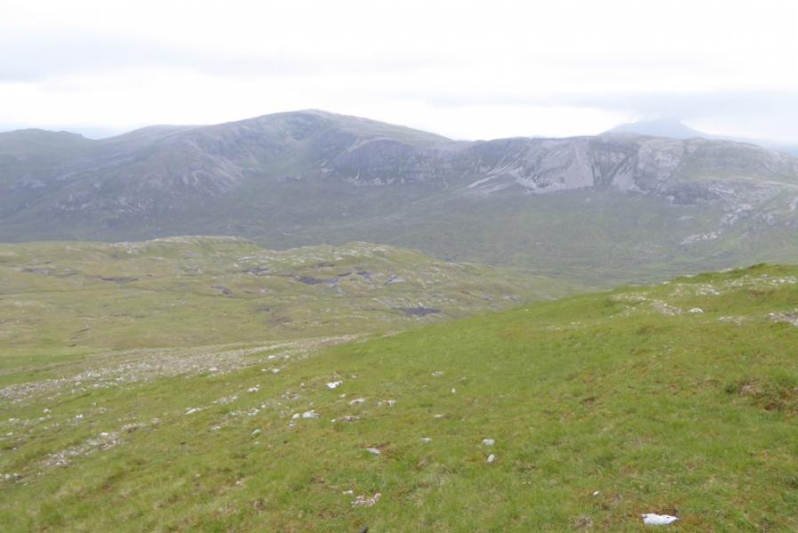
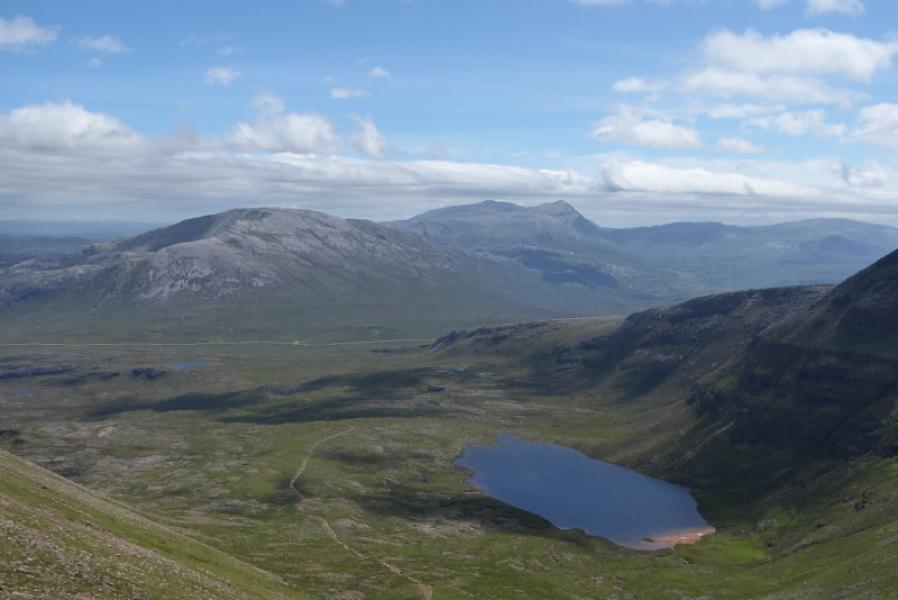
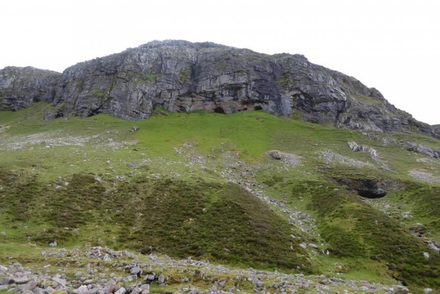
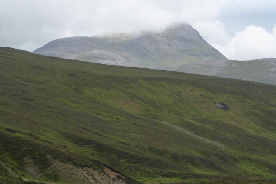
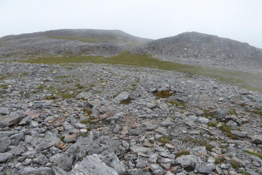
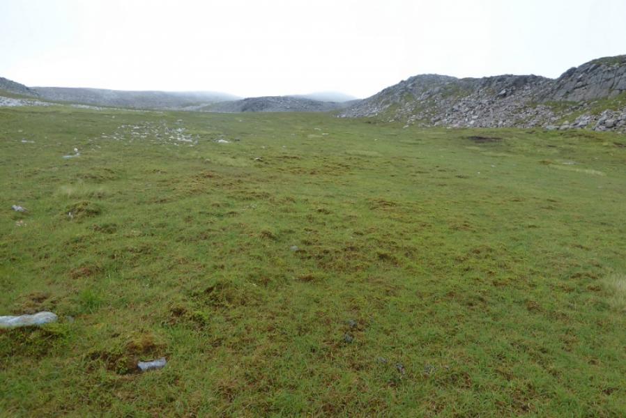
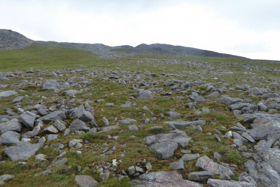
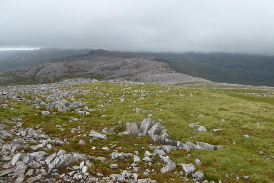
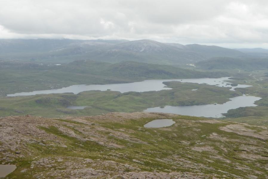
Breabag is a north to south ridge which sits to the south west of the Ben Mor Assynt range. It is relatively easily climbed from the A837. Unlike Ben Mor Assynt it is a much more grassy mountain and its boulder fields are easily avoided. Breabag offers good views to Canisp and other mountains to the west but Conival and Ben Mor Assynt dominate to the north east.
Route
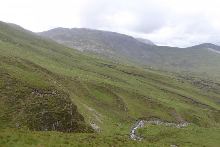
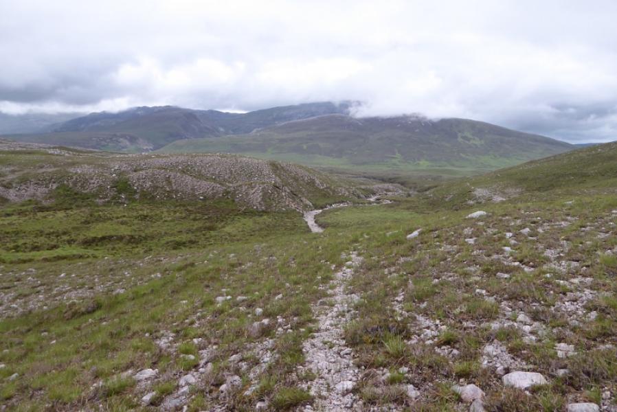
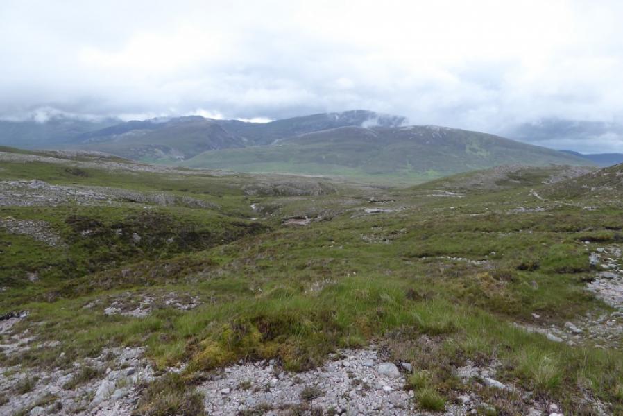
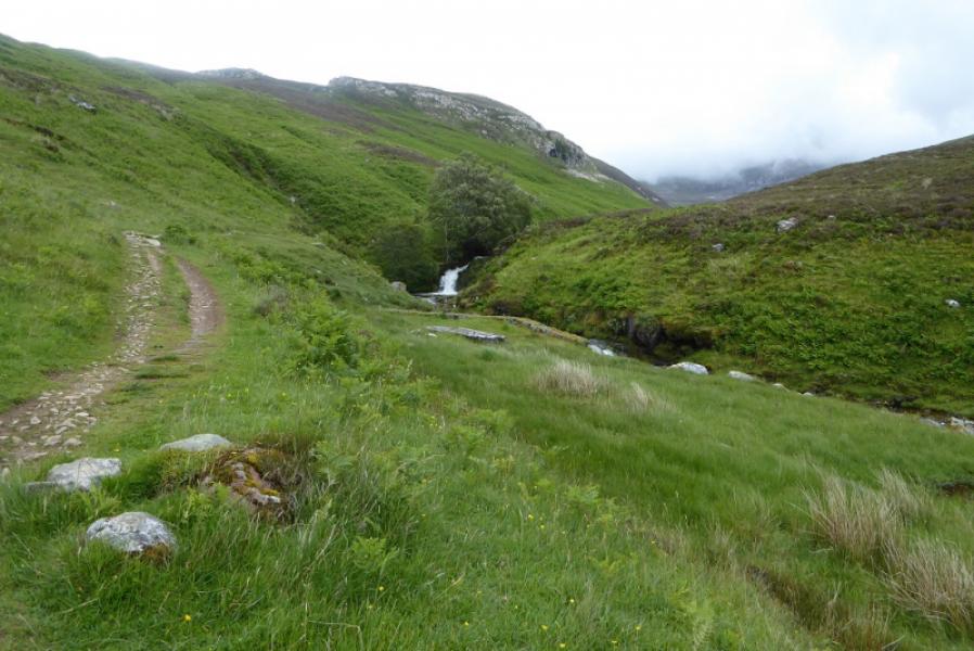
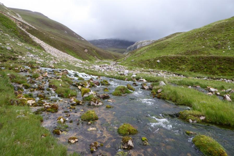
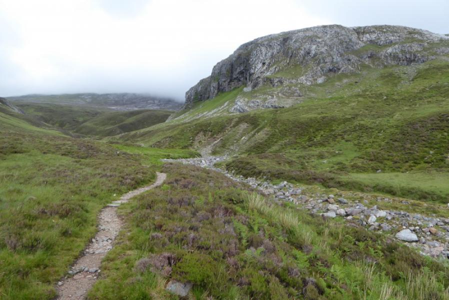
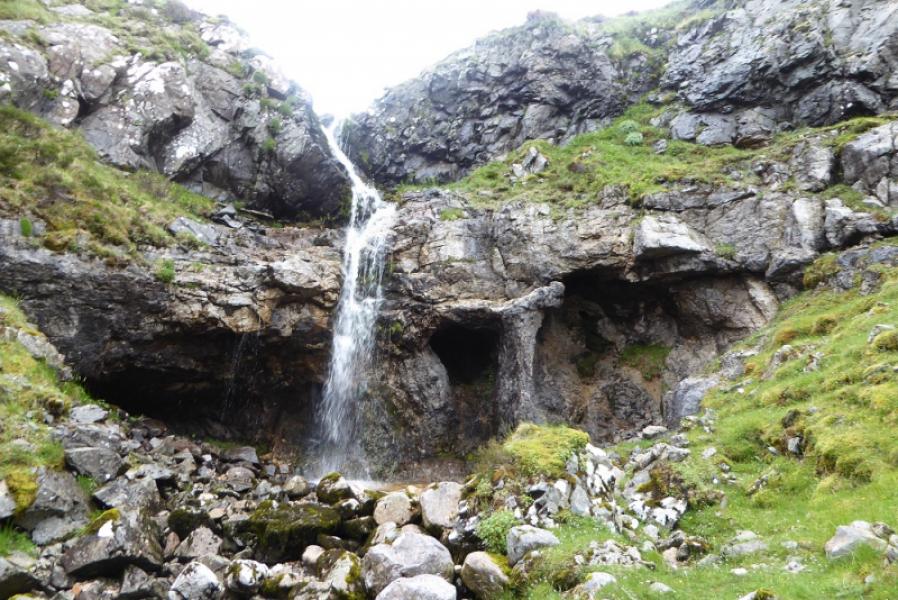
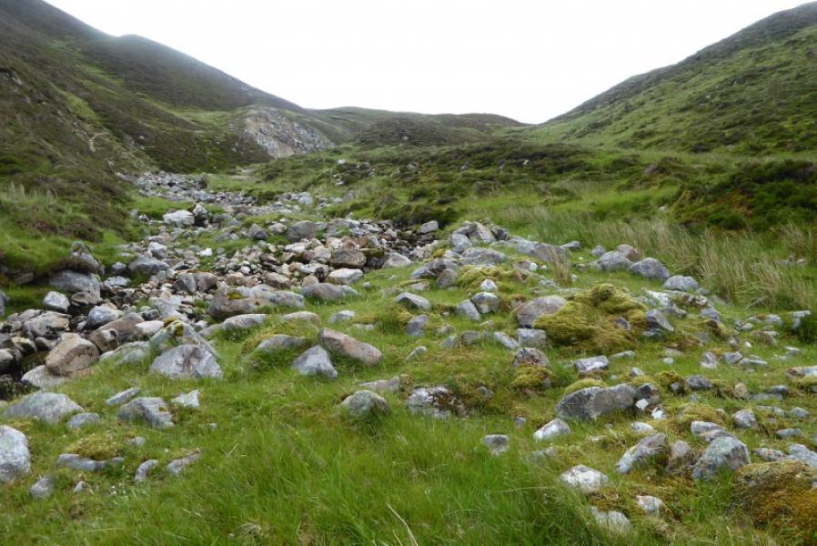
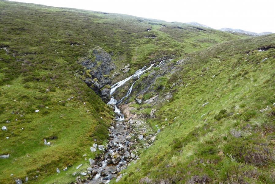
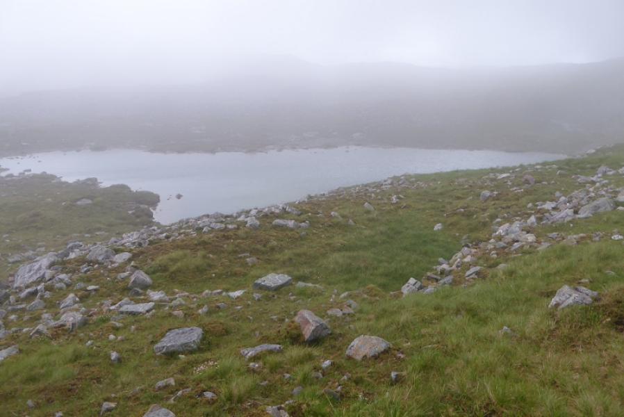
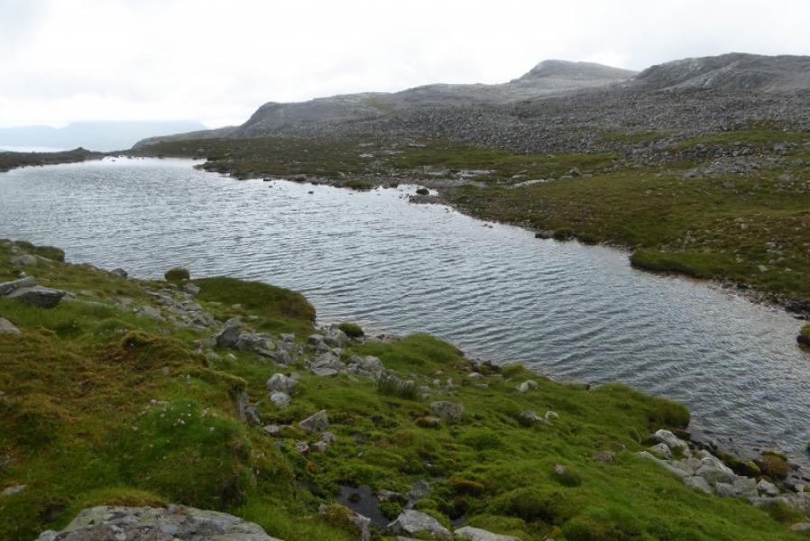
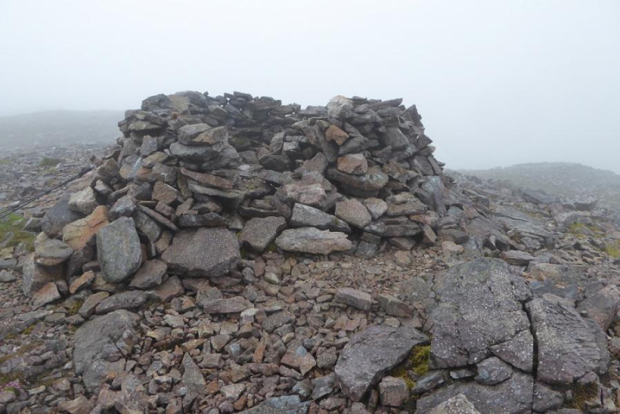
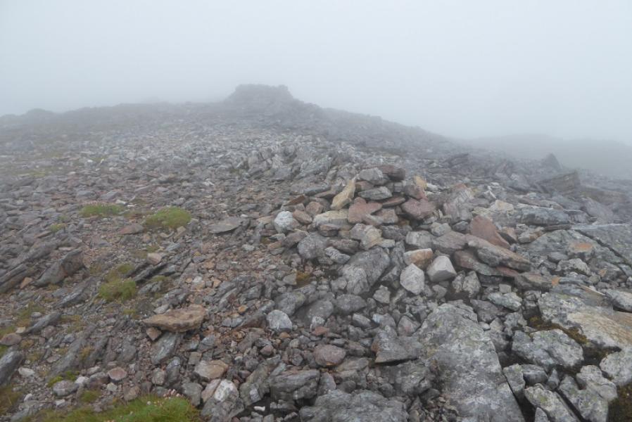
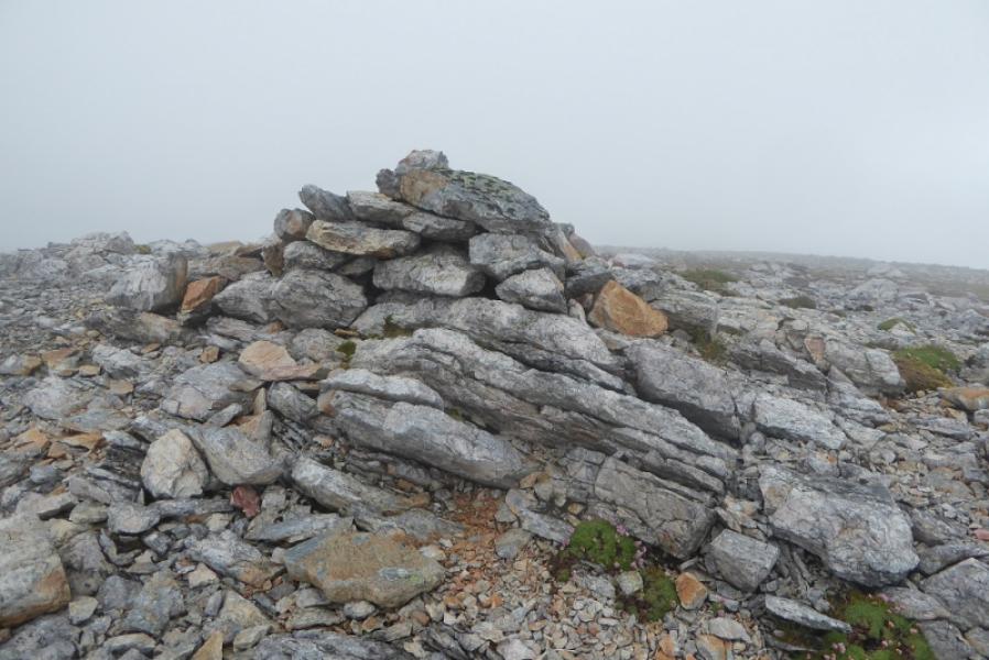
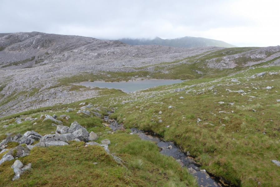
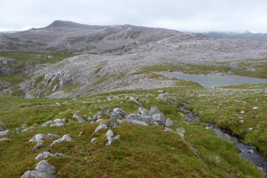
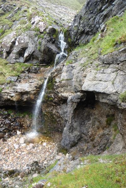
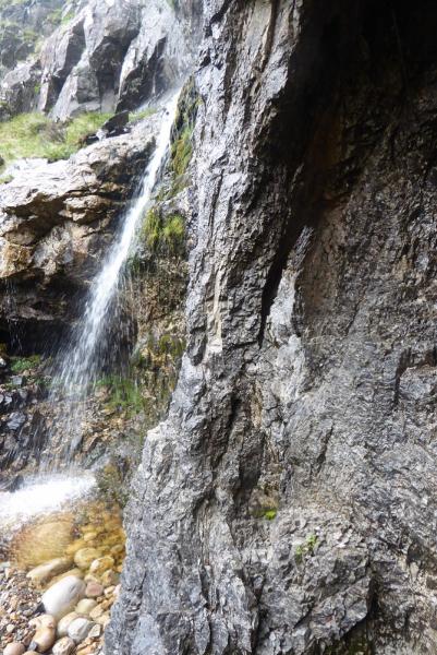
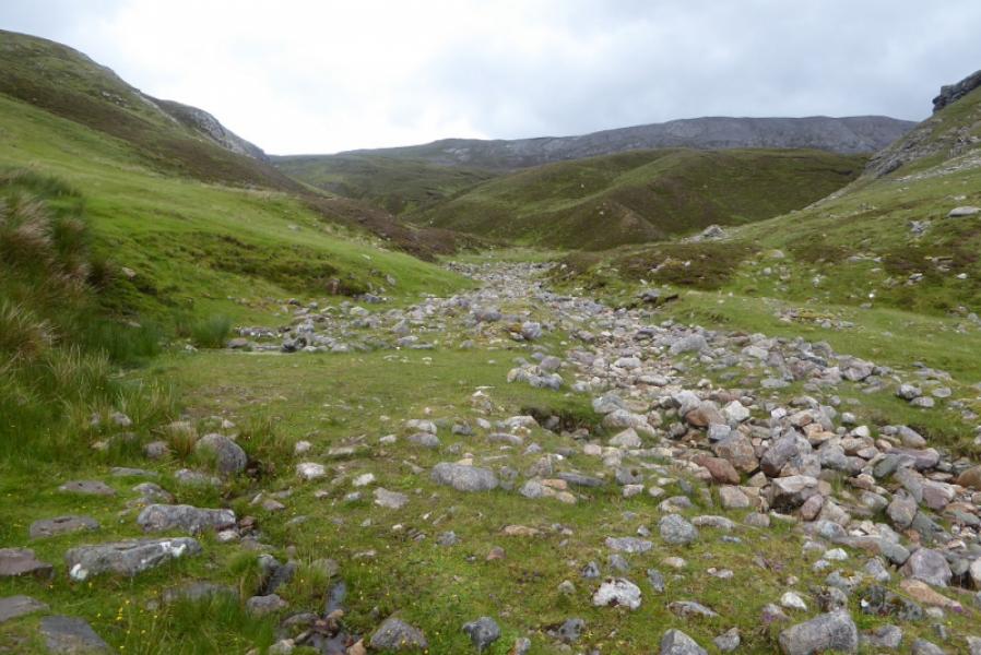
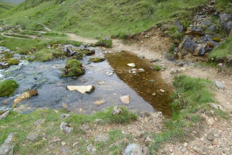
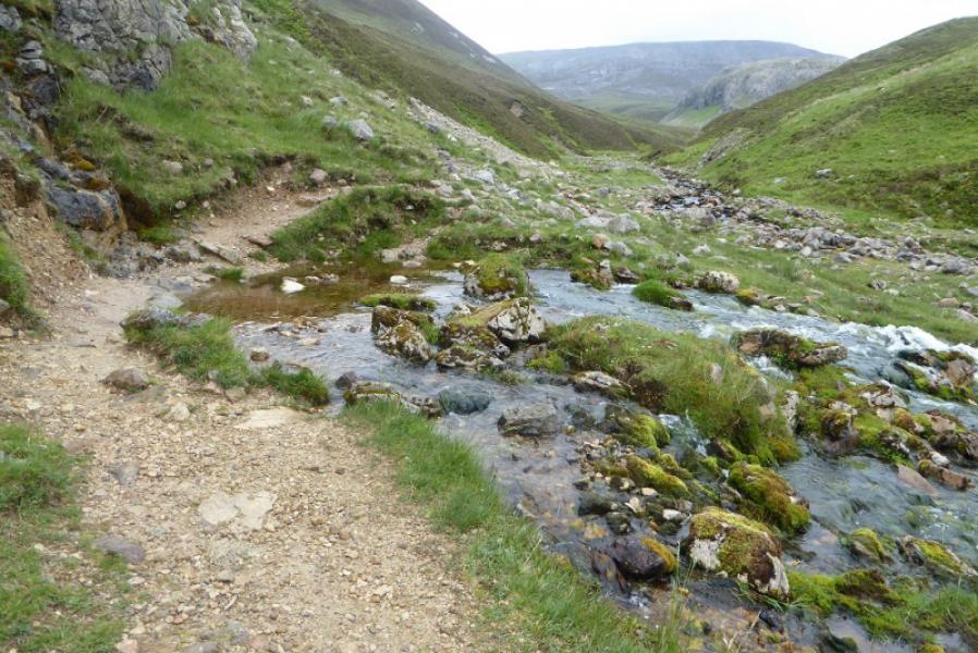
(1) Walk out of the back of the car park and follow the track past the building. This soon becomes a path which follows the Allt nan Uamh. Pass a spring where the river seems to come out of nothing. Continue, ignoring the path which crosses the river for the caves almost directly above. Continue towards the point where another path forks off right after the caves. The now dry Allt nan Uamh continues but there is no obvious path by the river bed. The path is up the left hand bank about 10 m above the river and hidden in the heather. Follow the path with some faint sections until the obvious waterfall is reached. The most obvious path is across the stream which climbs steeply to reach the upper stream feeding the waterfall. Follow the stream up, passing a water slide. Just before a waterfall which is below the lochan source of the river, a minor tributary goes off right, SE, and starts ascending up the broad N ridge. Follow this until it peters out then continue up easy grassy slopes where much of the rock, on ridges either side, can be avoided. Higher up there is the E Top which seems to have a cairn on it which, on close inspection, is made of large rocks so may be natural. SW of here is a small lochan in a hollow. Ascending the other side takes on to a medium cairn then, about 40 m further, to a large shelter cairn. One of these is the summit of Breabag, 815 m, but both appear to be about the same height.
(2) Retrace the outward route.
Notes
(a) This walk took place on 2nd July, 2017, and about 20 years earlier when Breabag was ascended by a long route from Benmore Lodge.
Photos - Hover over photo for caption. Click on to enlarge. Click on again to reduce.