Get Lost Mountaineering
You are here: Scotland » 16 Coigach to the Pentland Firth » Lochinver & Inverpolly
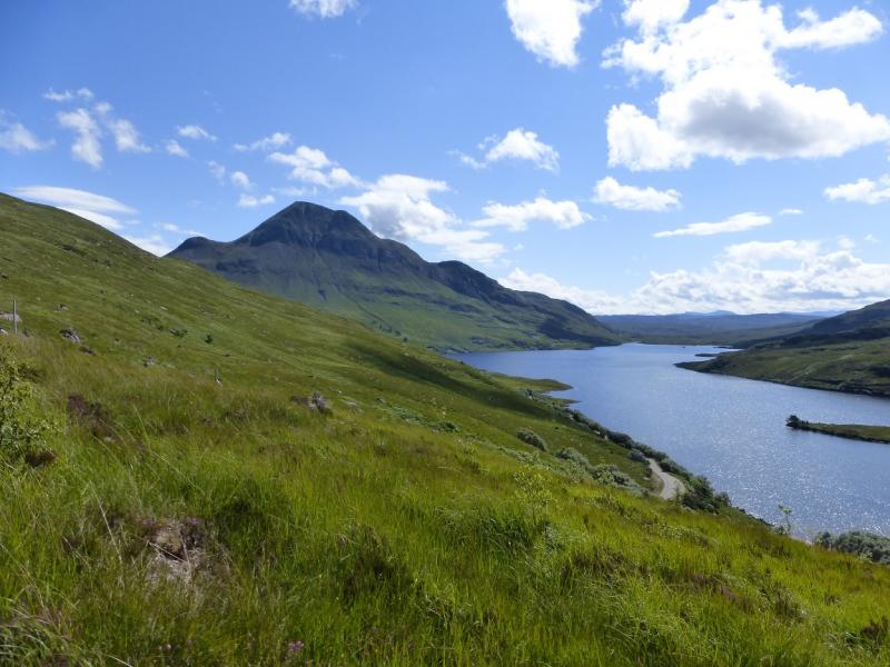
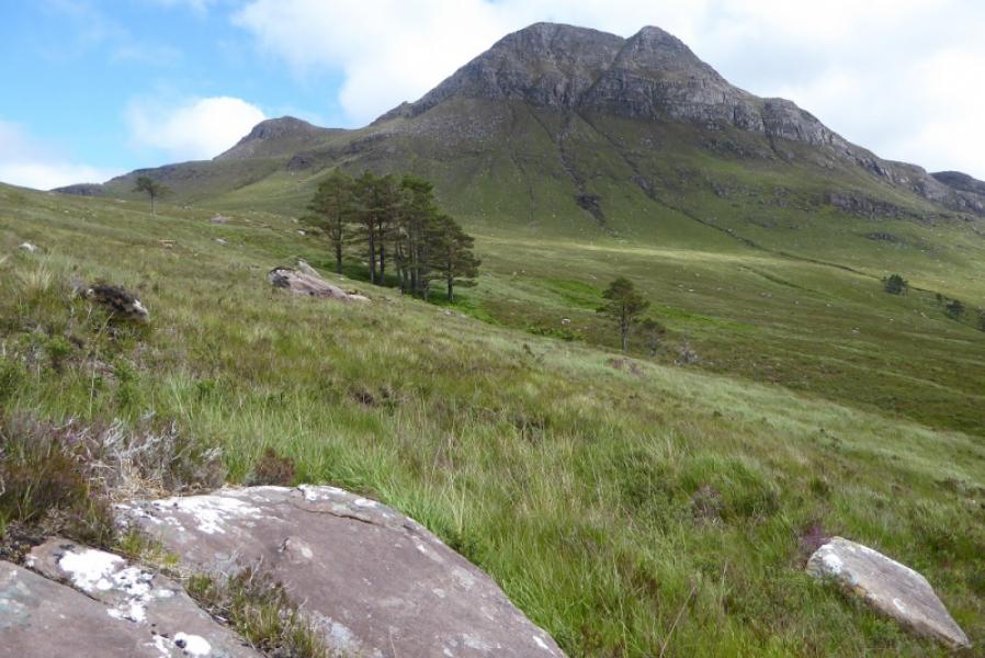
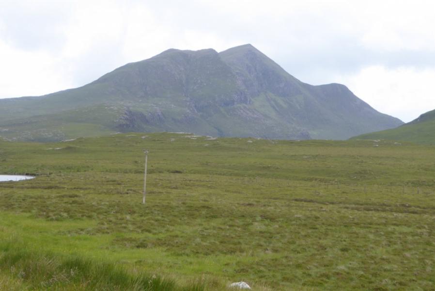
Cul Beag from the Stac Pollaidh Car Park (revised 2024)
Cul Beag from the Stac Pollaidh car park Revised 2024
Start/Finish
The large car park below the unmissable jagged mountain of Stac Pollaidh which is about 5 miles down the single track road, towards Achiltibuie and leaves the A835 about 10 miles north of Ullapool and about 8 miles south of Ledmore Junction, A837. There are no other parking spots on this road. Do not park at or close to the house at Linneraineach as there is no available parking and you will only selfishly block access for the owners and their family. Never park where you might cause an obstruction. It has also been brought to my attention that people are parking in passing places which is illegal and can result in fines and even the removal of vehicles which are causing an obstruction. I believe that the local Police are on the case. The rule on passing places is simple: Do not park in them. The Cicerone guide to the Corbetts, Volume 2, which covers this area gives very stupid, reckless and inconsiderate advice to park in a passing place. Do NOT park in any passing place on this road.
Distance/Time
9 km. About 5 hours.
Peaks
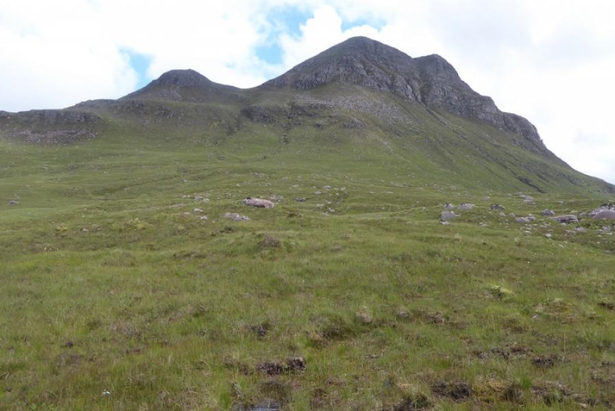
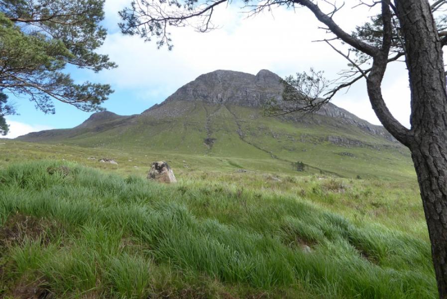
Cul Beag, 769 m, NC 140 088. OS map 15: Loch Assynt
Introduction
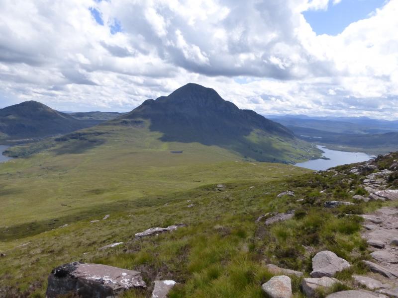
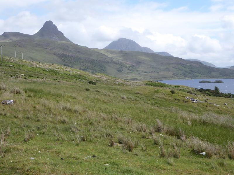
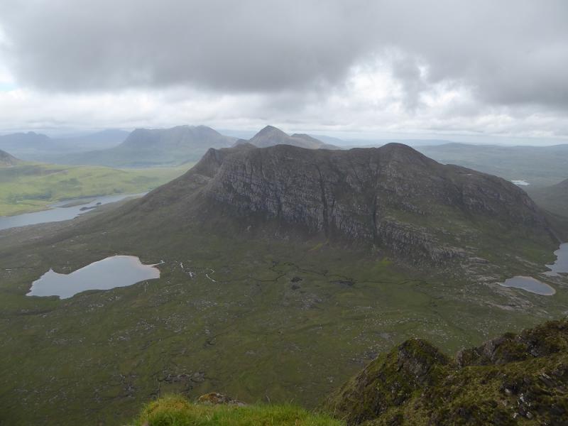
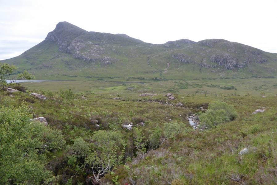
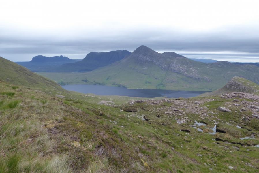
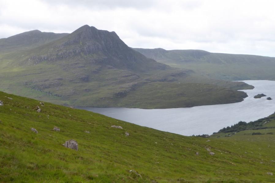
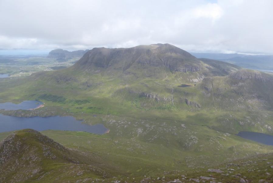
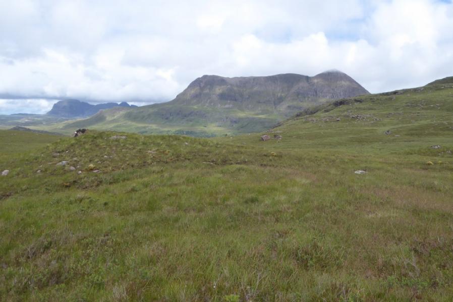
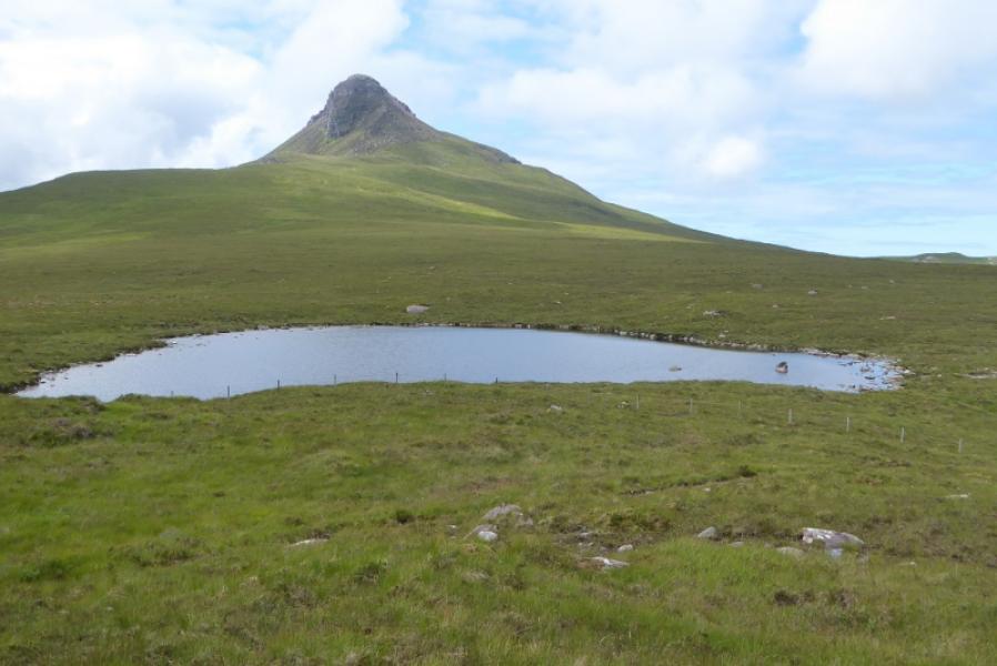
This is a very pleasant walk, albeit steep and a little boggy in places, on a path all the way which has excellent views to Cul Mor, Suilven, Stac Pollaidh, Beinn an Eoin and Ben Mor Coigach. On very clear days, Ben Mor Assynt can be seen to the ENE. The start of the stalkers path is not very obvious but there is a grey metal pole a few metres in.
Route
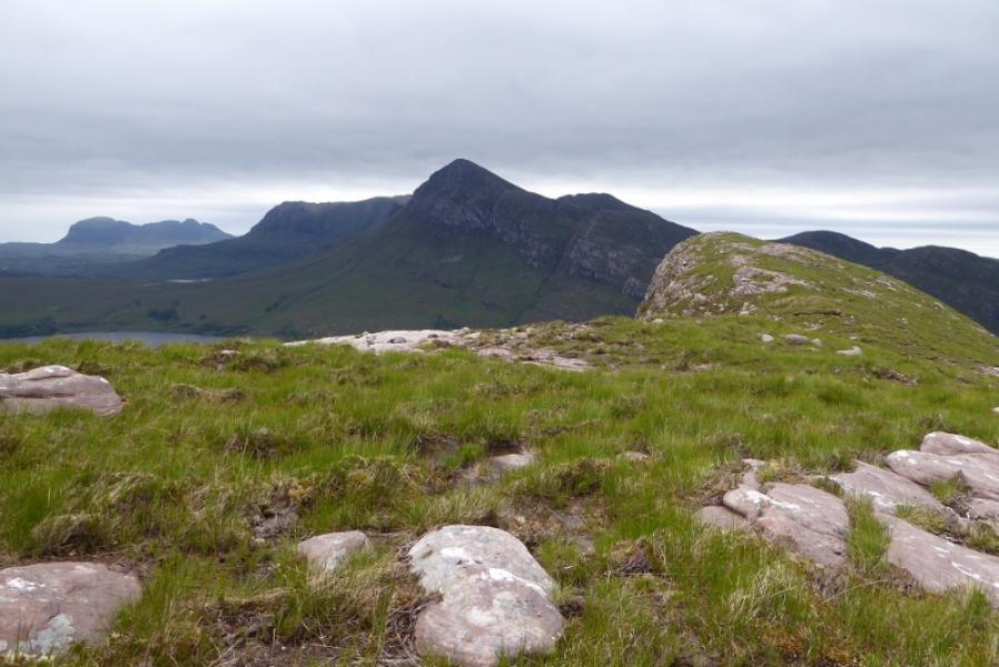
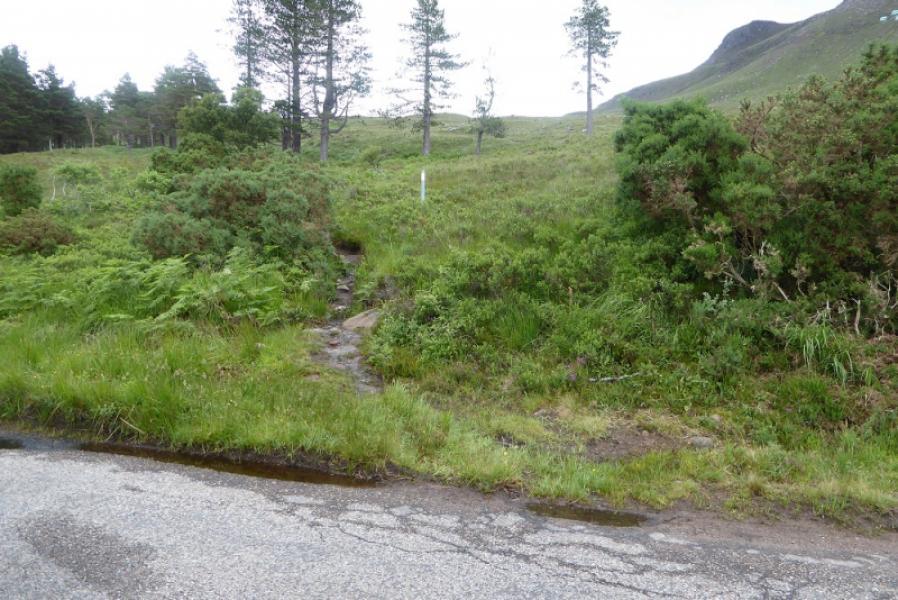
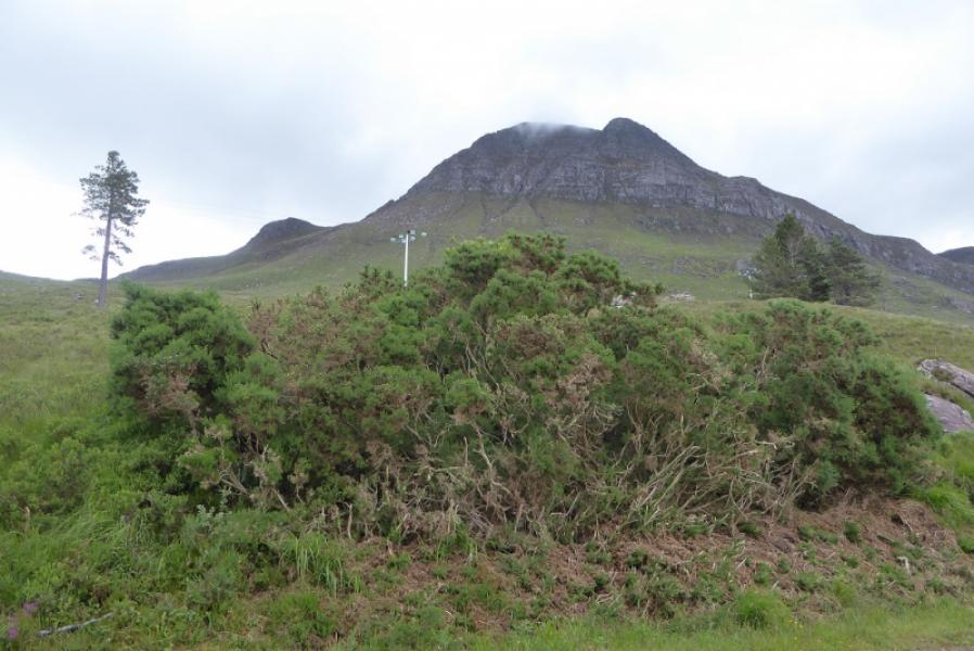
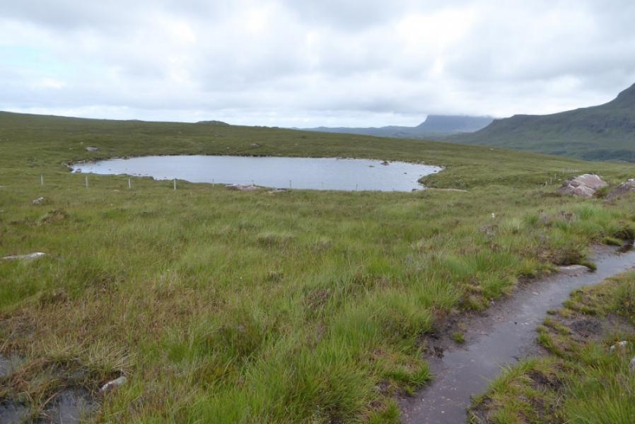
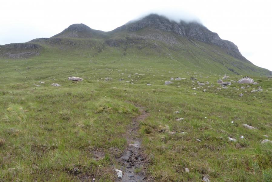
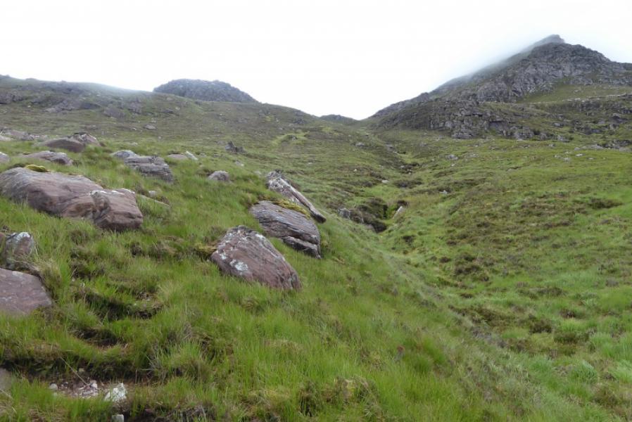
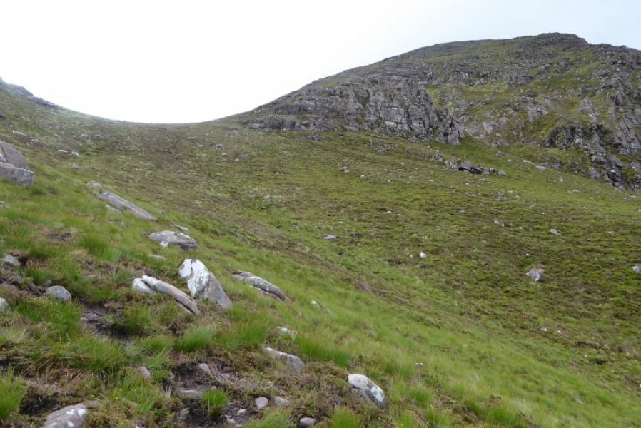
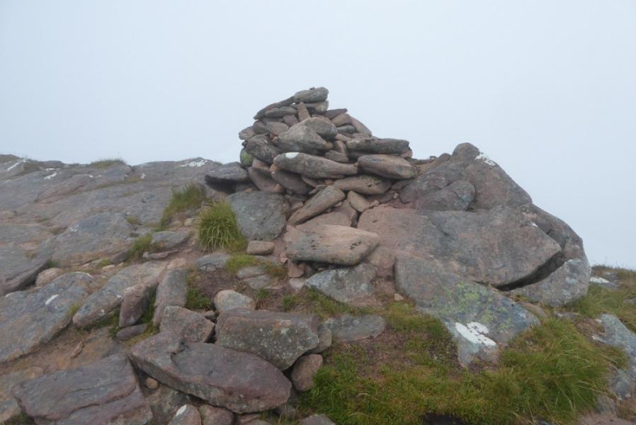
(1) From the Stac Pollaidh car park walk E along the road, less than 2 km, enjoying the splendid views across Loch Lurgainn, to reach the house at Linneraineach. After the house, the path starts opposite the 5th passing place (counting on both sides of the road) with a blue notice a little further on. Follow the path up to Lochan Fhionnlaidh and find a small cairn where the path goes off right towards the obvious col on the N ridge of Cul Beag. Follow the path up. It is a little boggy and eroded in places but still fairly good. Higher up, it shadows the left hand side of a grassy gully before reaching the col where there is a small cairn. There are 2 paths up the N ridge from here. One goes off to the right and looks like it might be a traverse path but it soon cuts back to the ridge; this is actually the main path. The other goes up, slanting slightly left on grassy/stony ground. Both paths meet higher up. The N ridge is steep in places but each path zig-zags up. Emerge on the crest and turn right. Walk about 50 m to the large cairn which is the summit of Cul Beag, 769 m.
(2) Retrace the outward route for the best views.
Notes
(a) This walk took place on 3rd July, 2017, and about 20 years earlier when it was climbed alongside Cul Mor which, at the time, felt like the hardest two mountain walk in Scotland!
Photos - Hover over photo for caption. Click on to enlarge. Click on again to reduce.