Get Lost Mountaineering
You are here: Scotland » 14 Loch Maree to Loch Broom and Garve » Braemore Junction to Achnasheen
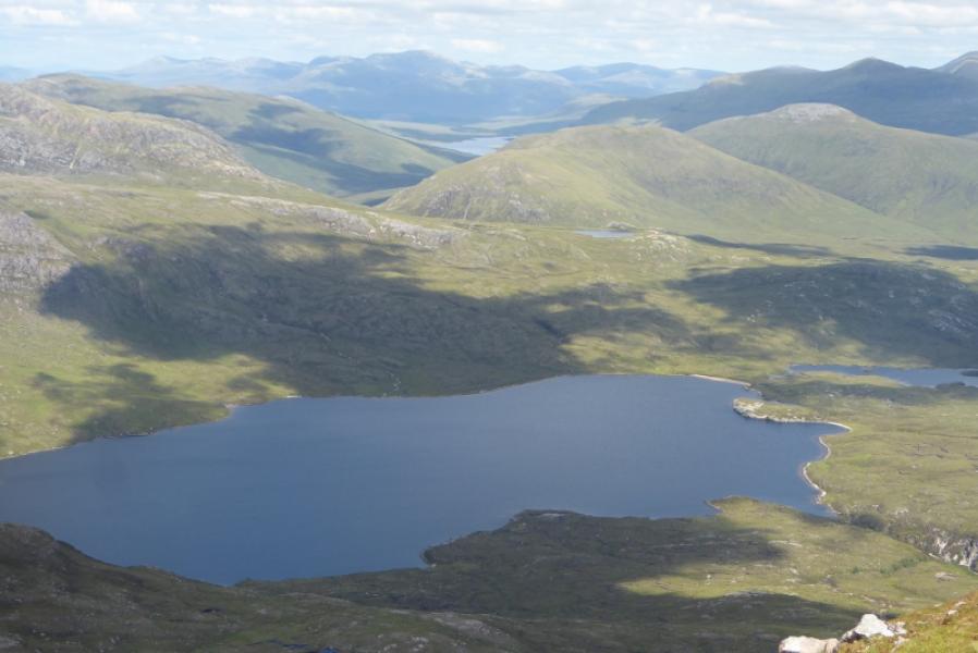
Groban, Beinn Bheag & Creag Rainich via head of Loch a' Bhraoinfrom A832, 4 miles SW of Braemore Junction
Groban, Beinn Bheag & Creag Rainich
via head of Loch a' Bhraoinfrom A832, 4 miles SW of Braemore Junction
Start/Finish
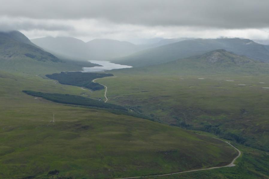
Rough gravel verge parking at NH 162 761, on the A832 road (to Gairloch) from Braemore Junction (leaves A 835 Ullapool to Inverness road about 12 miles south of Ullapool). This is about 4 miles from Braemore Junction. If staying at Dingwall, it is about 37 miles to the start of the walk.
Distance/Time
24 km. About 9 – 10 hours.
Peaks
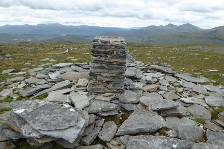
Groban, 749 m, NH 099 709.
Beinn Bheag, 668 m, NH 086 714.
Creag Rainich, 807 m, NH 096 751. OS sheets 19: Gairloch & Ullapool; 20: Beinn Dearg
Introduction
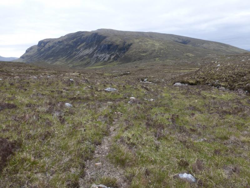
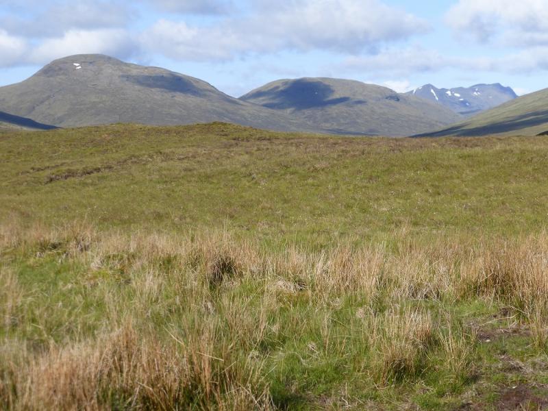
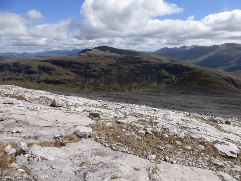
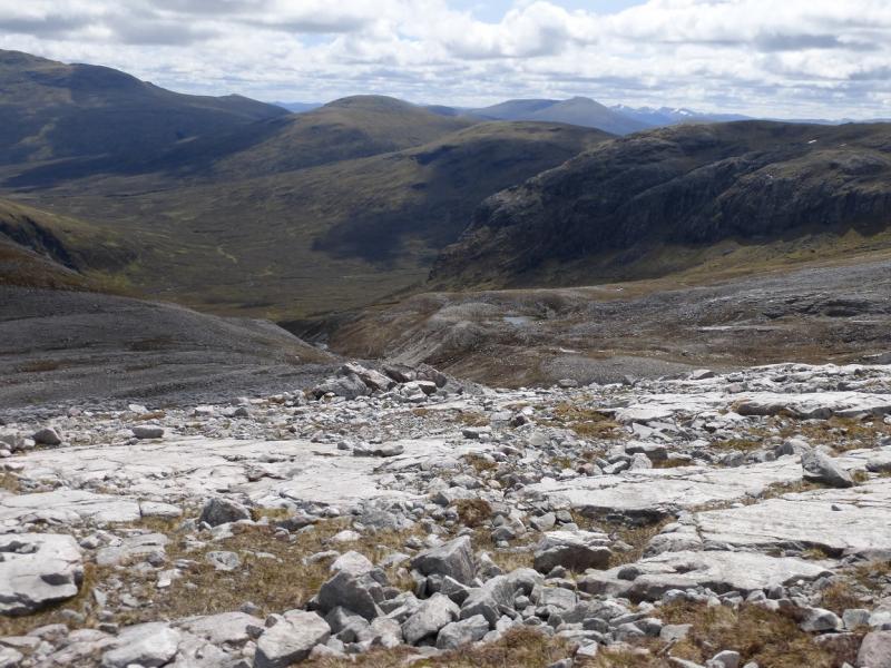
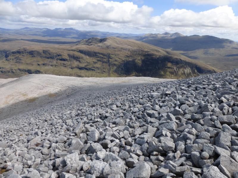
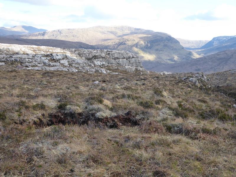
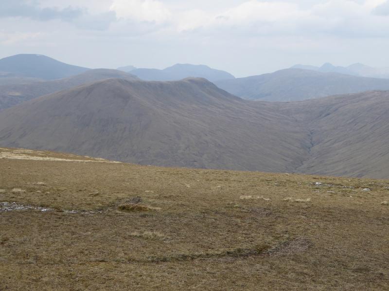
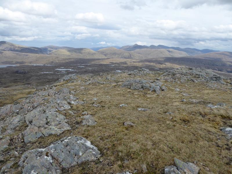
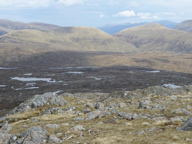
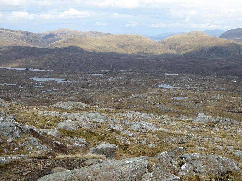
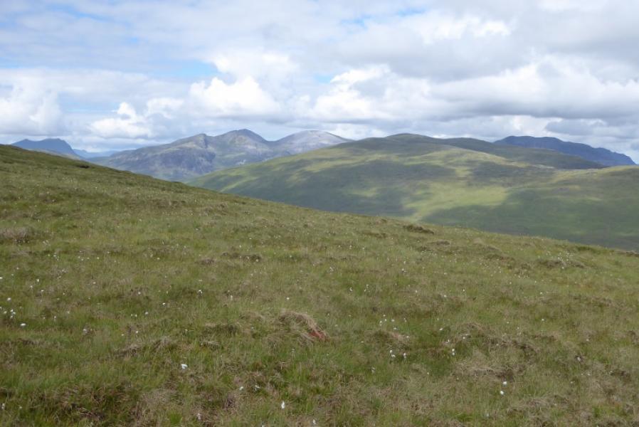
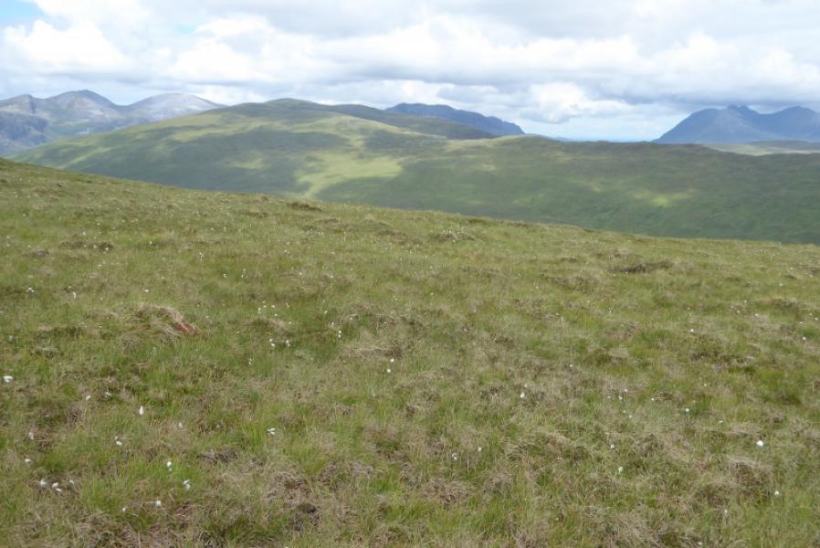
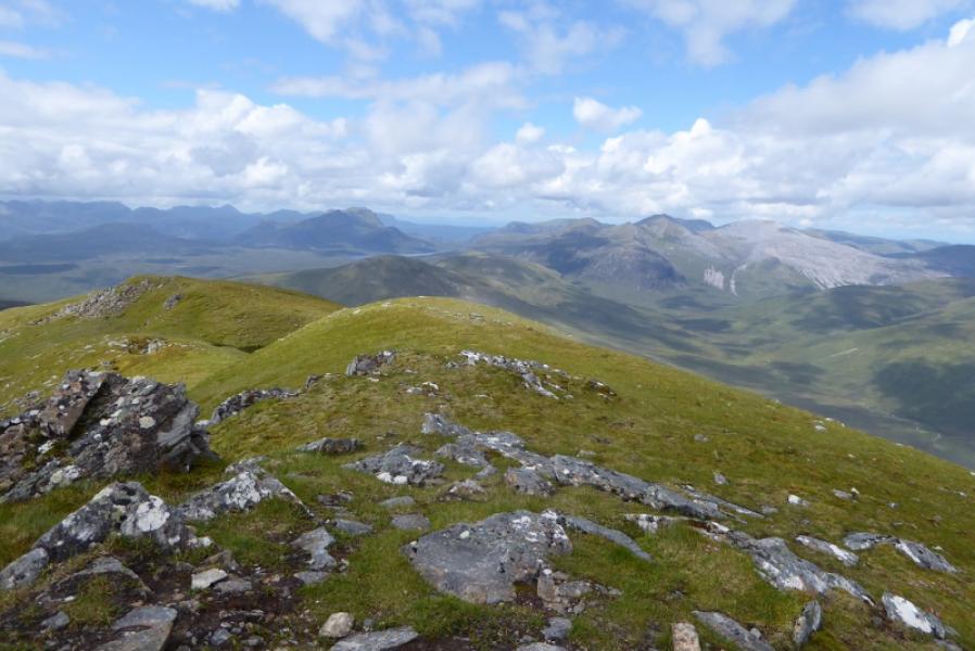
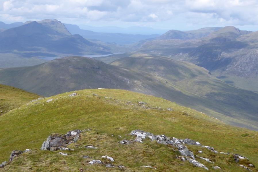
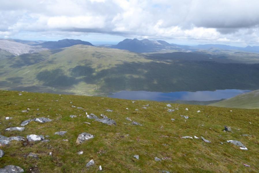
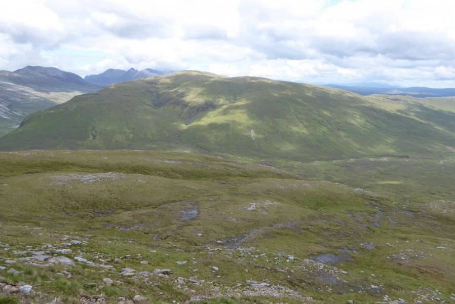
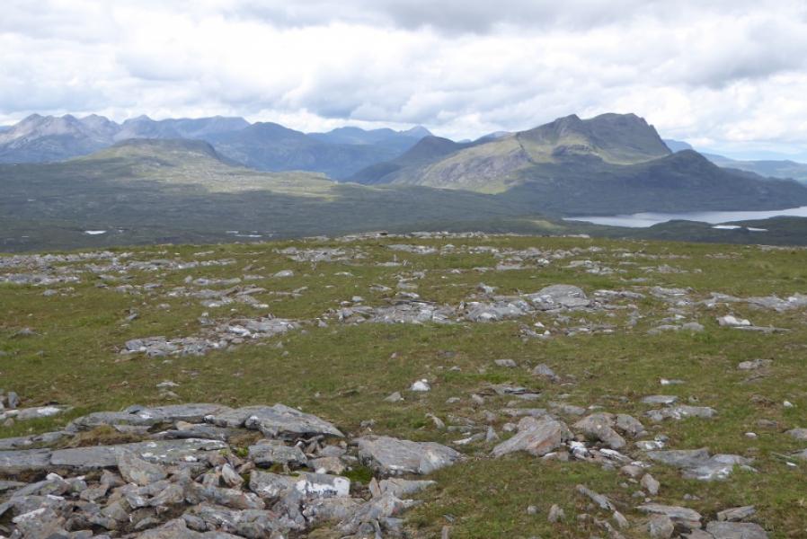
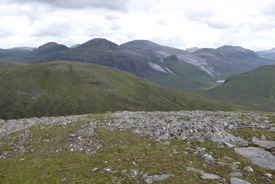
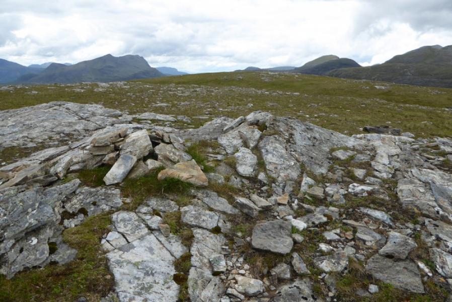
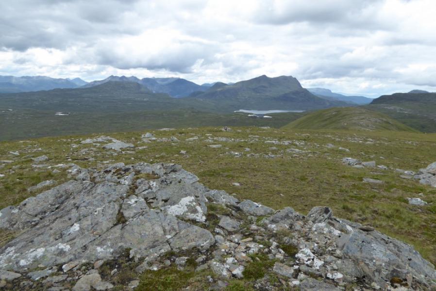
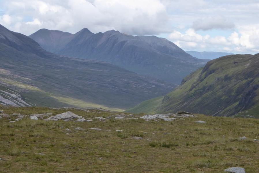
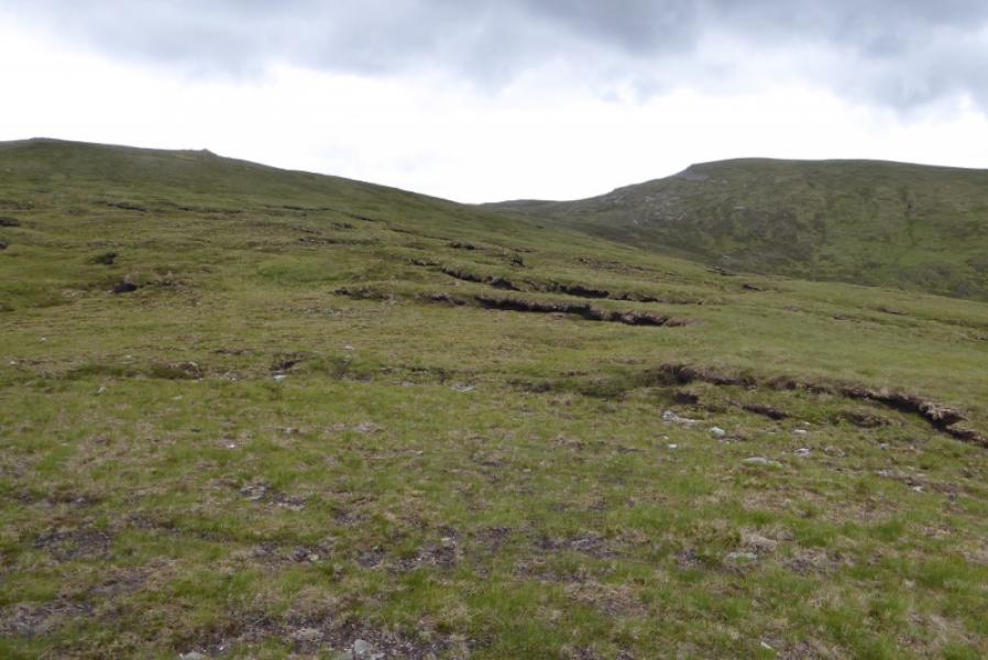
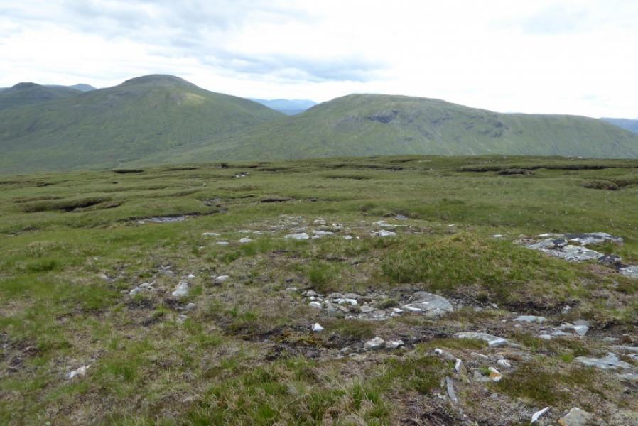
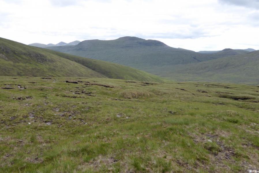
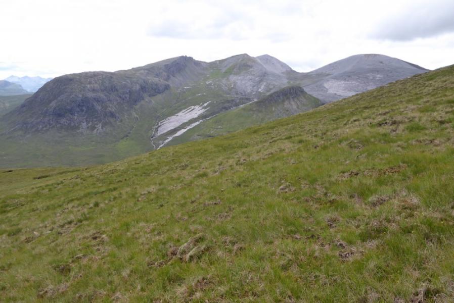
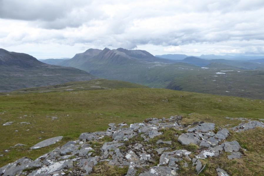
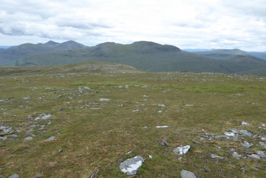
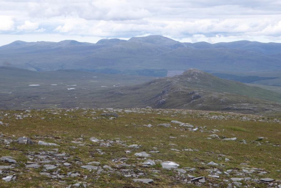
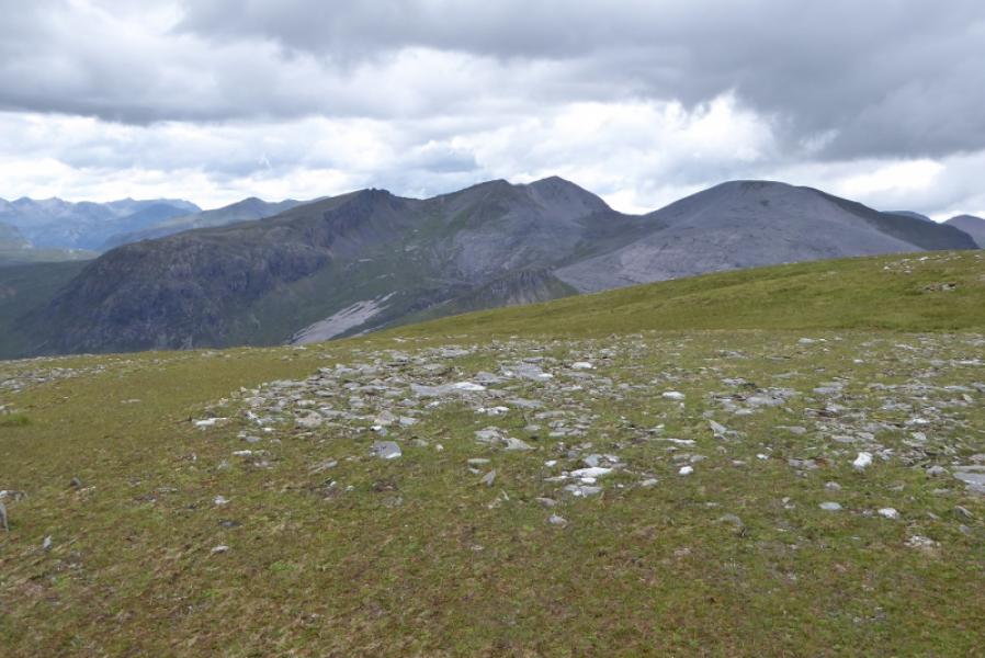
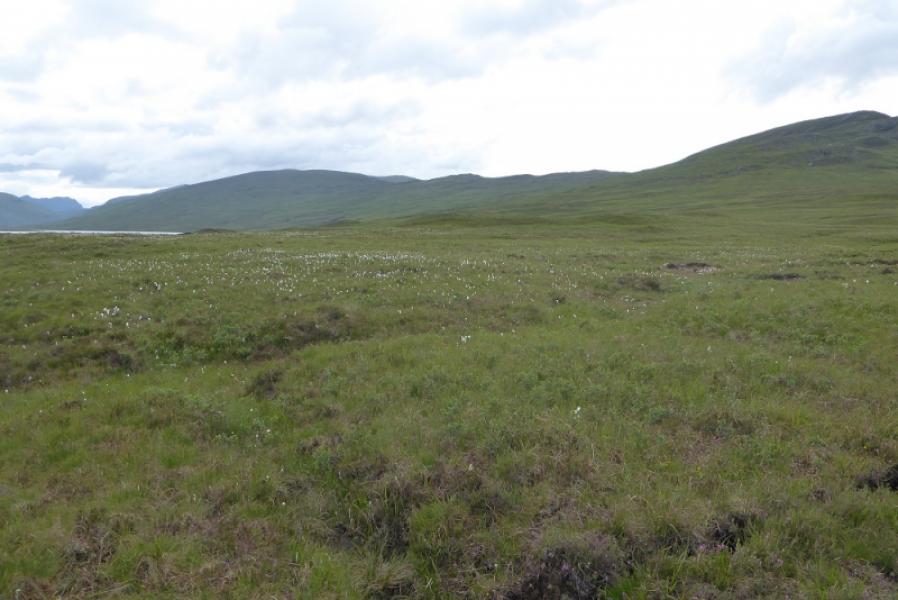
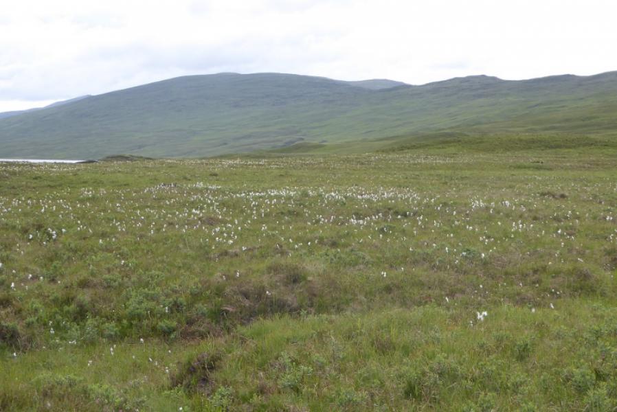
This is the very western end of the Fannaichs which borders Fisherfield so there are great views to Mullach Coire Mhic Fhearchair, Sgurr Ban and An Teallach as well as to the eastern Munros of the Fannaichs.Many would place Creag Rainich in Fisherfield. There are no paths or tracks on any of these three hills which makes for fairly tough going.
Route
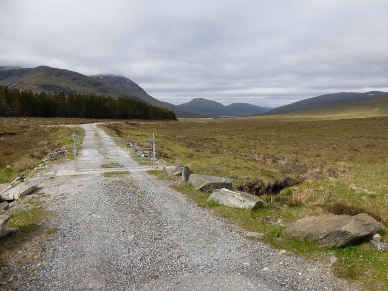
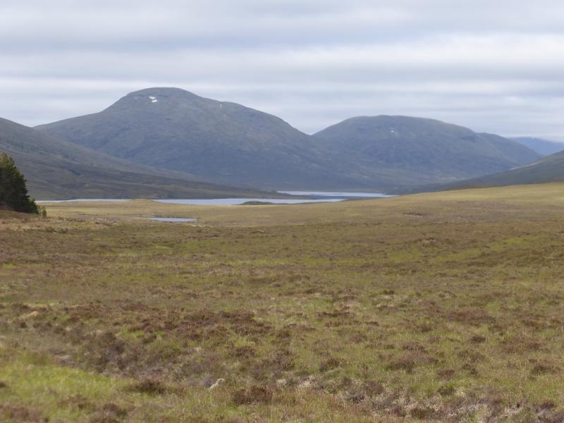
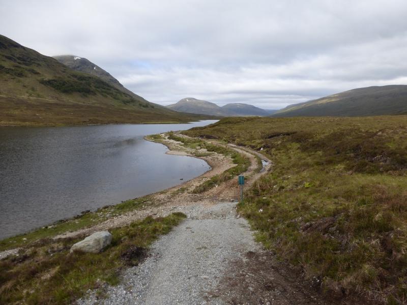
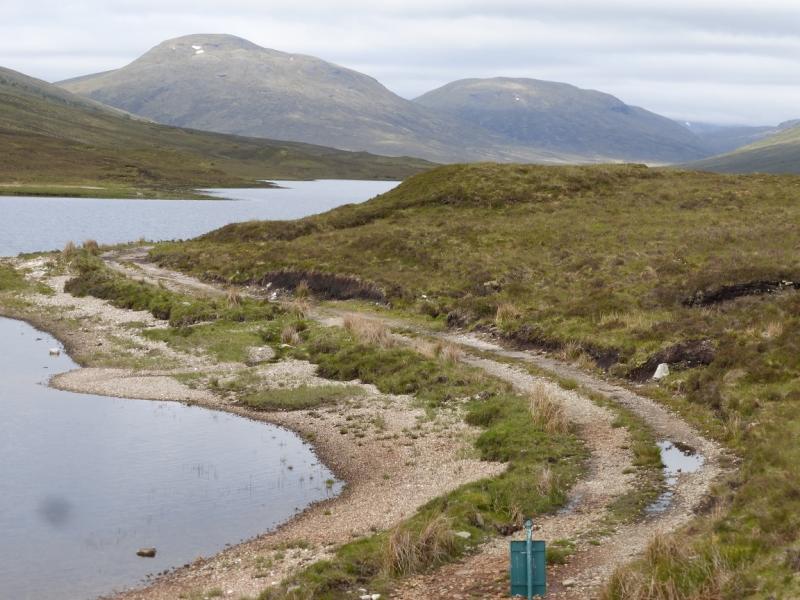
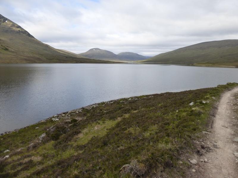
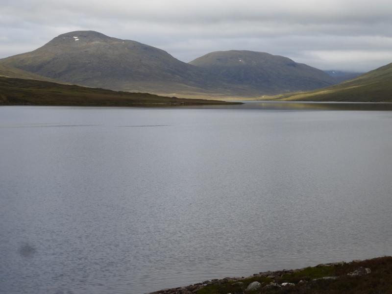
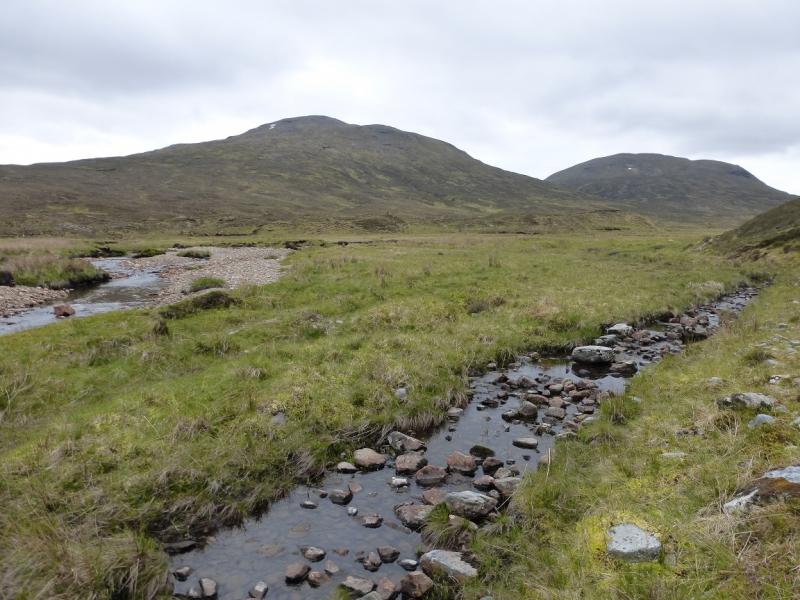
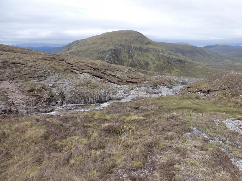
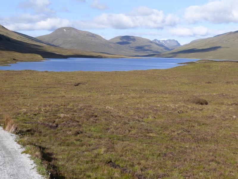
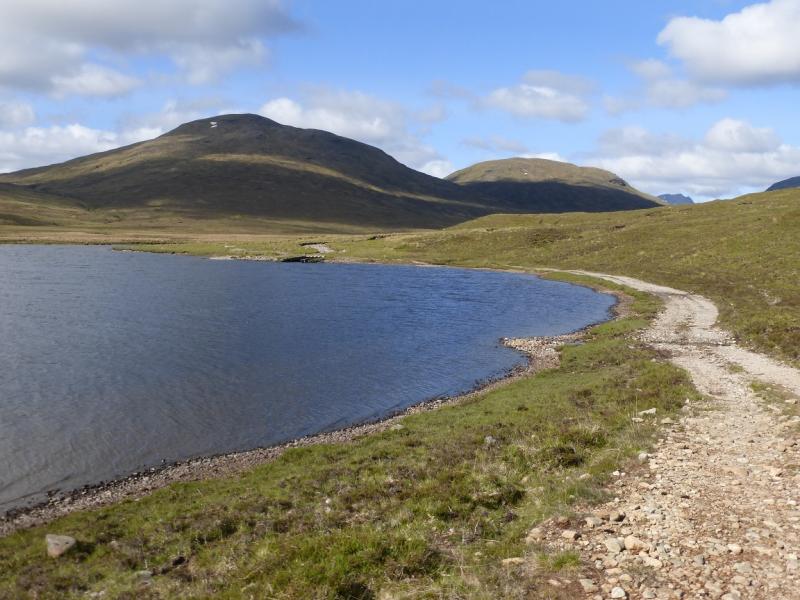
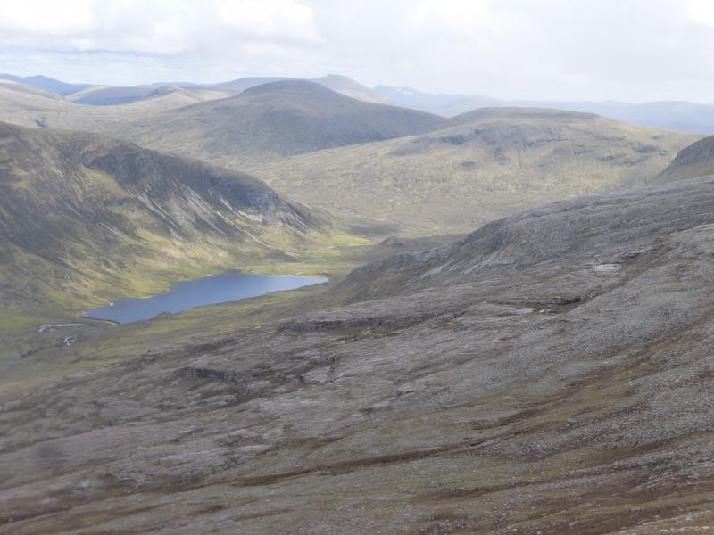
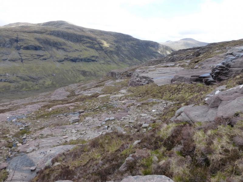
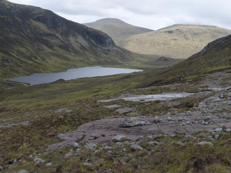
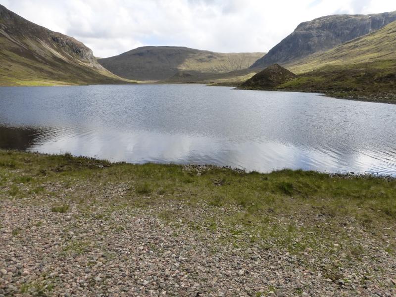
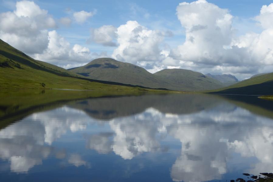
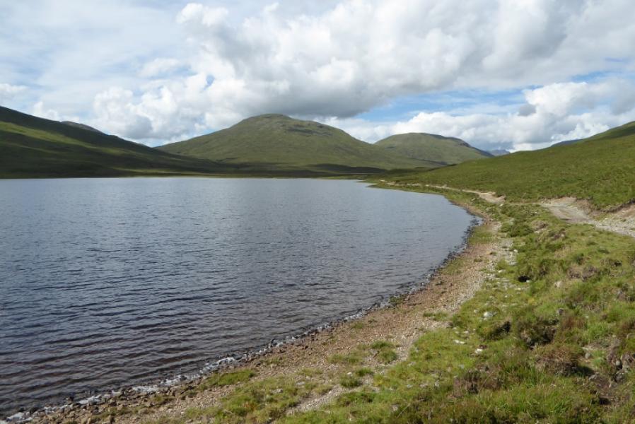
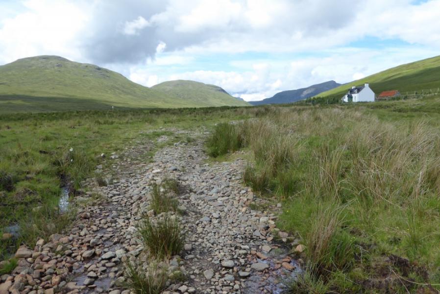
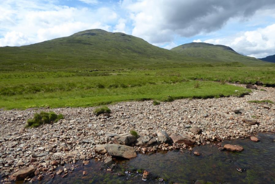
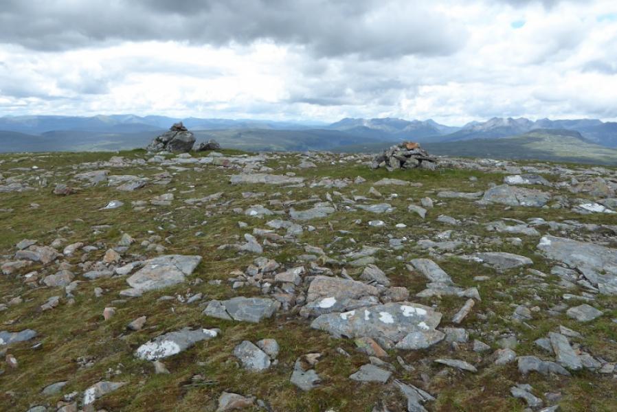
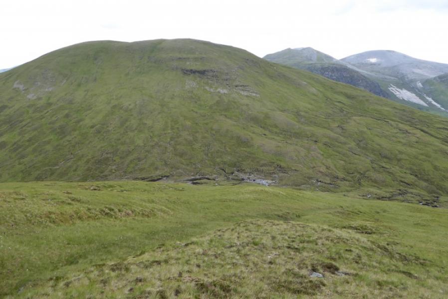
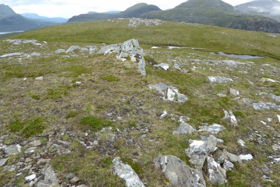
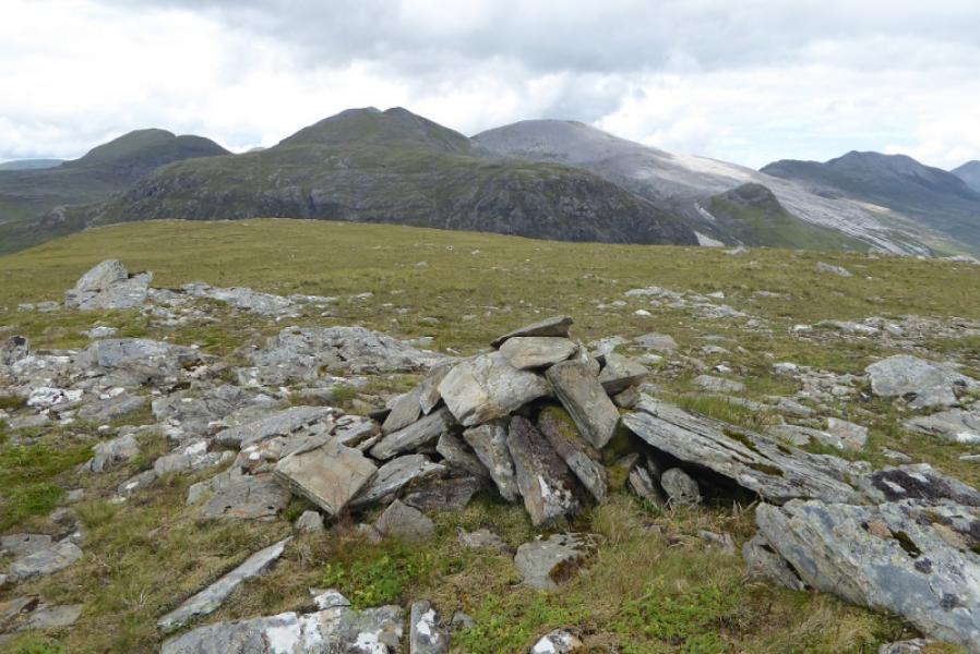
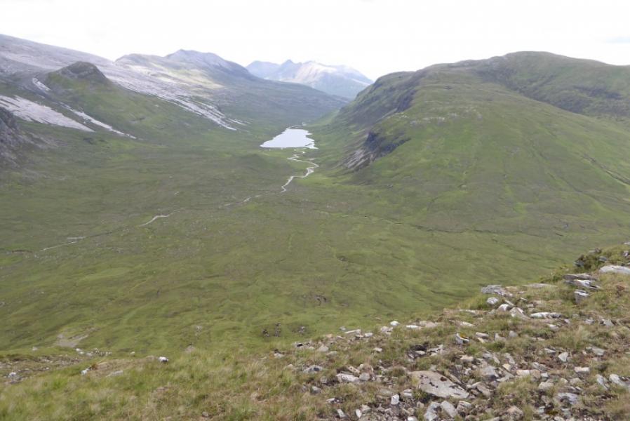
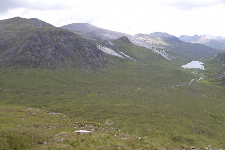
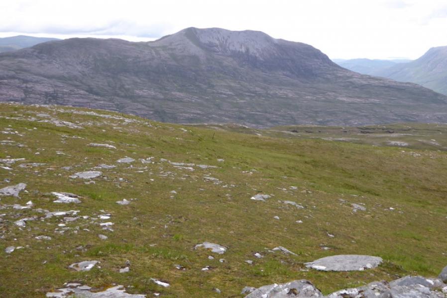
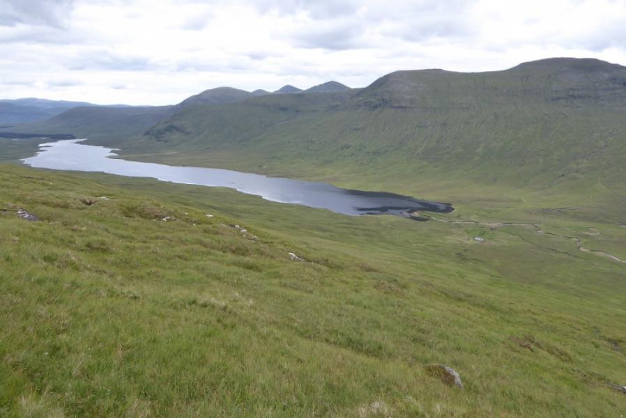
(1) Walk down the obvious track near to the parking places. Reach Loch a' Bhraoin and take the right track (not over the bridge on the left) which heads alongside the loch. Continue to the end of the loch then past the cottage and bothy (behind) at Lochivaron. Continue until the track is alongside the river. Cross here if possible. If not, continue by the river until it is possible to cross then head roughly SW up rough slopes, steepening higher up, until the summit plateau is reached. There are two cairns a few metres apart one of which is the summit of Groban, 749 m.
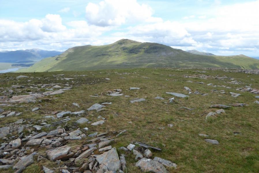
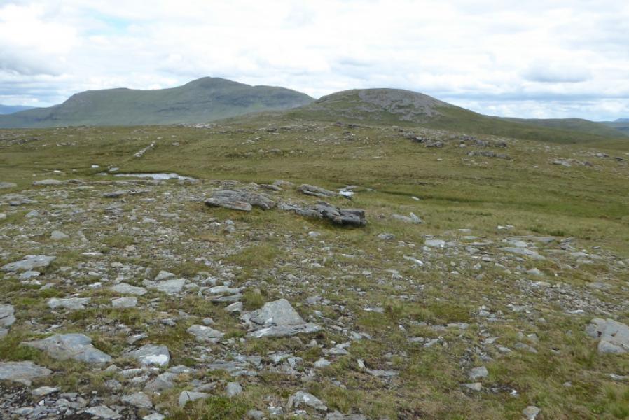
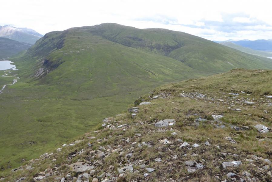
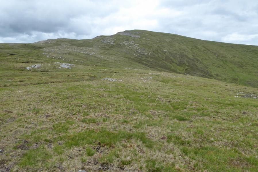
(2) Descend about 300 m WNW down steep grassy slopes to reach a narrow but long col called the Bealach Gorm. Ascend steep slopes, roughly E, to reach a plateau where there is a cairn on the first, E, top then about 300 m further there is a small cairn which is the summit of Beinn Bheag, 668 m.
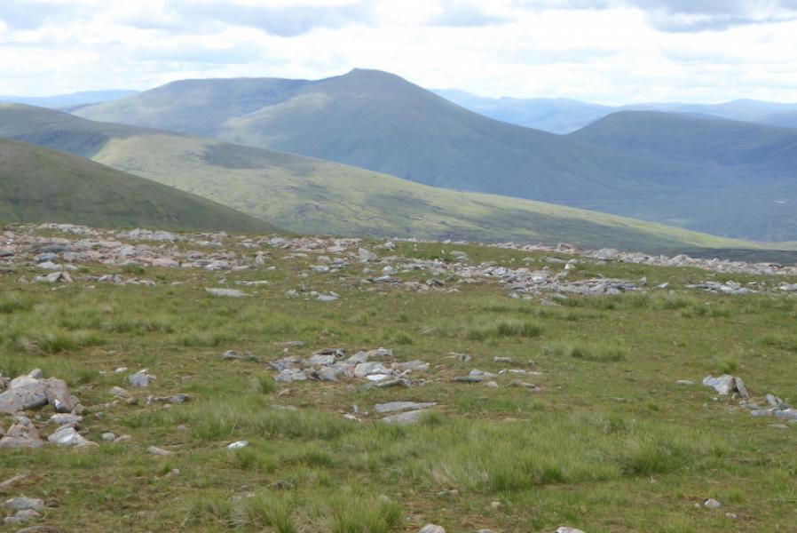
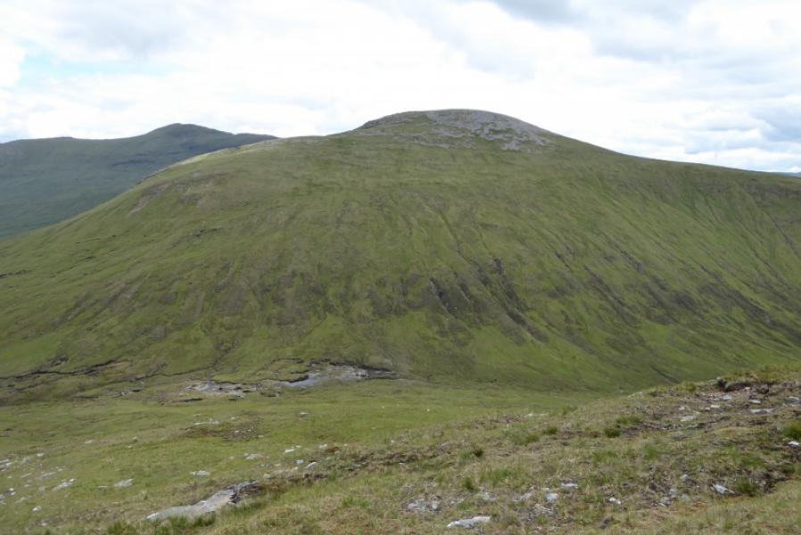
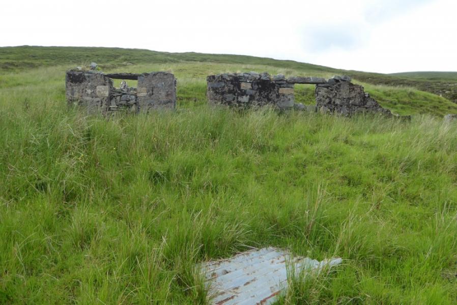
(3) Descend about 350 m NNE down moderately steep grassy slopes then up o the two small ruins on the track. Head uphill, roughly N, picking a way up the best ground you can. This will lead to an unmarked top after which the not very well defined ridge curves around to the E onto a small plateau where an old stone trig point marks the summit of Creag Rainich, 807 m.
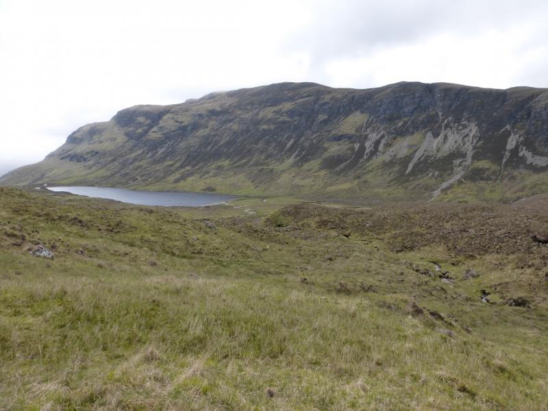
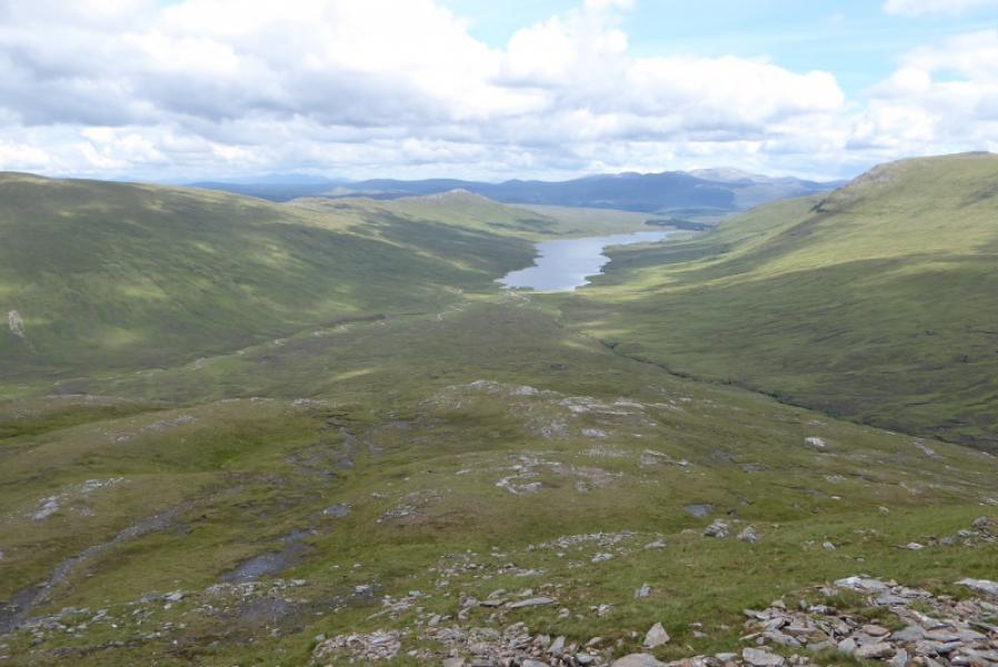
(4) Descend SE to the col before top 749 then make a descending traverse ESE to reach the middle of Loch a' Bhraoin. The descent is mainly on rough grass. Walk back along the track to the end of the loch then back to the road.
Notes
(a) This walk took place on 45h July, 2017, and about 10 years earlier.
(b) If you don't mind the driving, Dingwall Camping and Caravanning Club site is well placed for access to Glen Arric, Loch Mullardoch, Glen Strathfarrar, Strathconon, Ben Wyvis, Achnasheen, Kinlochewe. Fannaichs, Loch Glascarnoch, Beinn Dearg range and lower hills on the coast. The site is virtually midge free. It pays to be a member otherwise there are surcharges. There is an over 50's discount outside of the High Season. Electrical hook ups are possible for campers. Dingwall has a 24 hour Tesco.
Photos - Hover over photo for caption. Click on to enlarge. Click on again to reduce.