Get Lost Mountaineering
You are here: Ireland » South West » Iveragh Peninsula
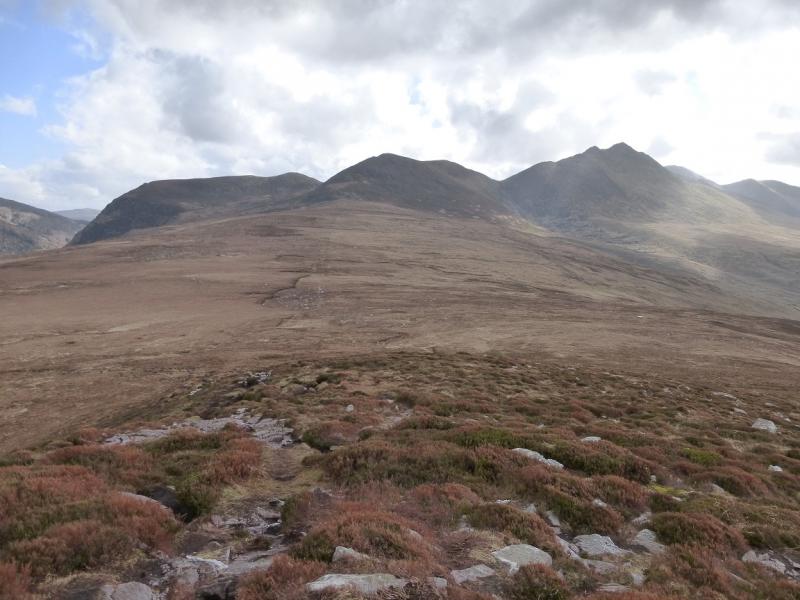
Cnoc na Peiste Ridge of MacGillycuddy's Reeks
Cnoc na Peiste Ridge of MacGillycuddy’s Reeksfrom Cronin’s Yard
Start/Finish
Cronin’s Yard at the start of the Hag’s Glen. From Killarney, take the road towards Killorglin. Take the first left after the Fossa camp site, signposted Gap of Dunloe, and follow the meandering road. Do not turn off for Gap of Dunloe. When a crossroads is reached with petrol pumps and a store, the turning for Cronin’s Yard is within 200 m on the left. It is signposted. There is a small parking fee, 2 Euro in 2010. There is a cafe which is not always open but if it is, it is worth going in after the walk. The café has toilets and showers which are not available if the café is closed. The family running the café are very friendly and often have satellite TV on.
Distance/Time
12 km Approx 7 hours
Peaks
Cruach Mhor, 932 m, V 841 847 (Irish National Grid System)
Big Gun, 939 m, V 841 845.
Cnoc na Peiste, 988 m, V 836 842.
Maolan Bui, 973 m, V 832 838.
Cnoc an Chuillin, 958 m, V 823 833. Irish OS Discovery Series Map 78 (1:50000)
Introduction
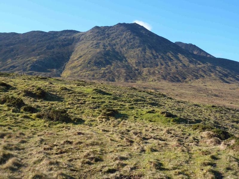
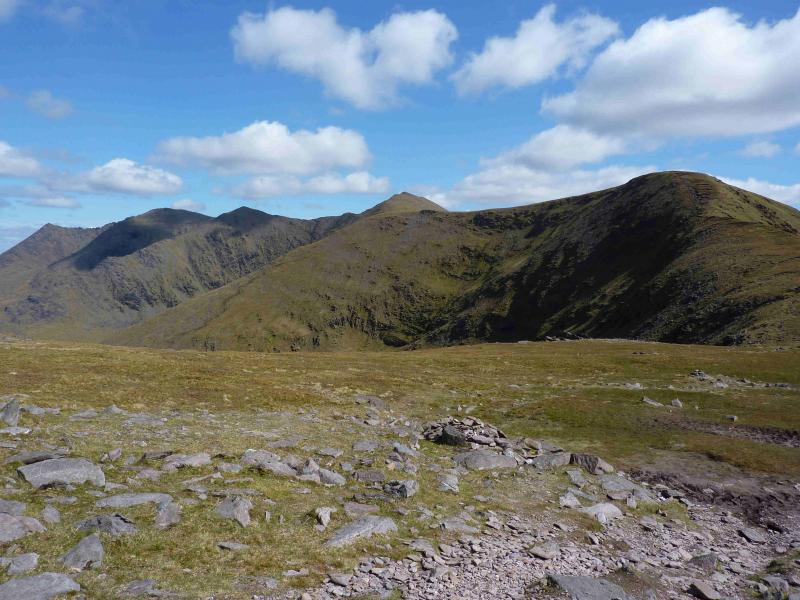
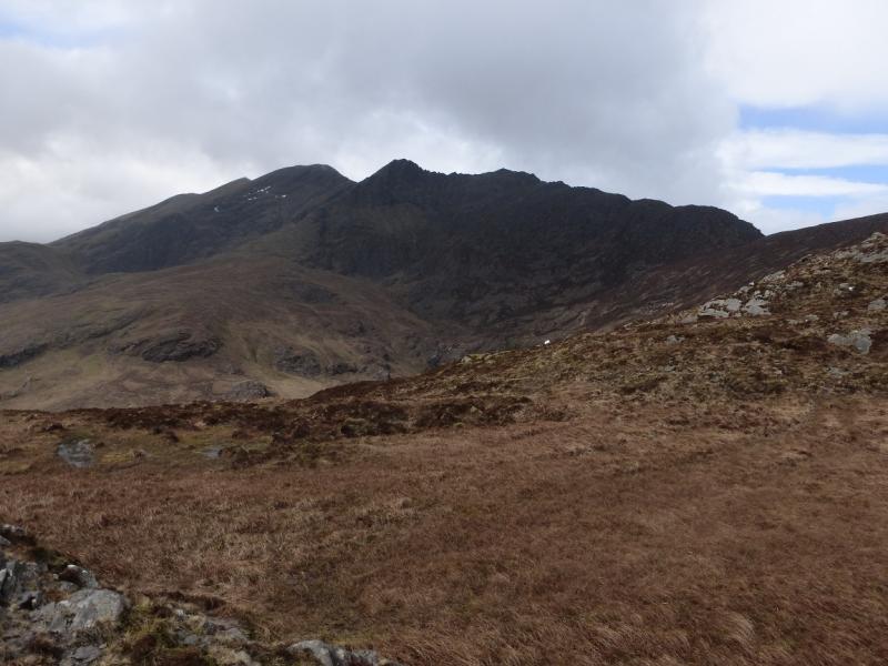
MacGillycuddy’s Reeks are the highest mountain range in Ireland and may well be the longest ridge over 3000 feet in the British Isles. The reeks are essentially “Y” shaped with Carrauntoohil (highest peak in Ireland) at the junction. This walk takes in most of the “tail” and offers some sensational scrambling (mostly avoidable) between Cruach Mhor and Cnoc na Peiste. Choose a good day as the Reeks can often be in cloud. Good views of Carrauntoohil will be visible throughout this route on a good day. Navigation is relatively straightforward but if you need to, you should be able to easily reset your GPS to the Irish National Grid System.
Route
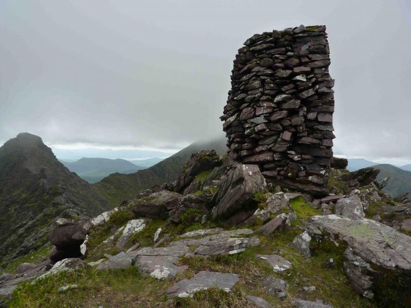
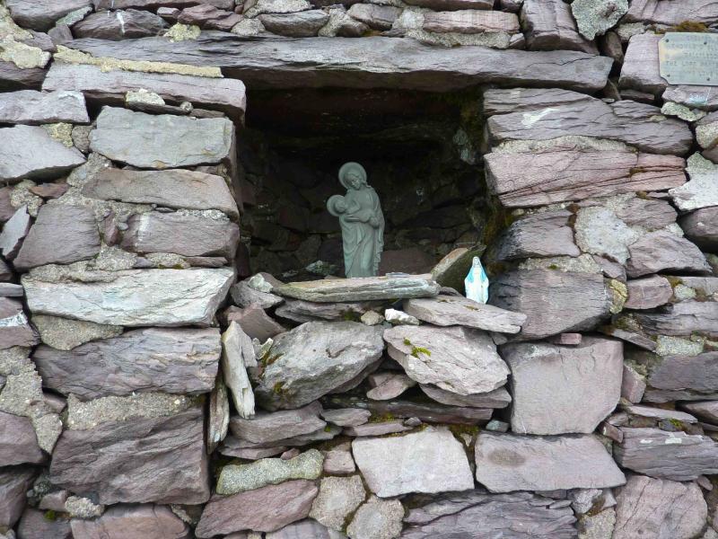
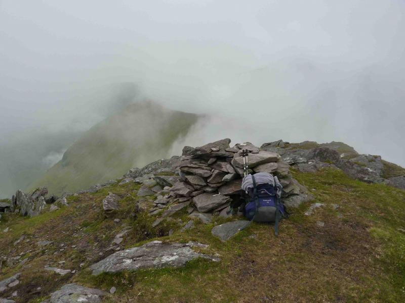
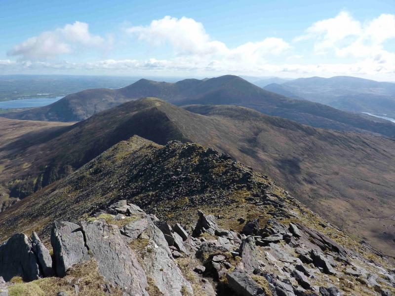
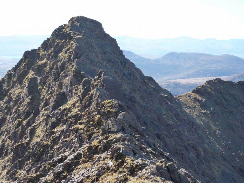
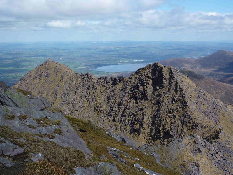
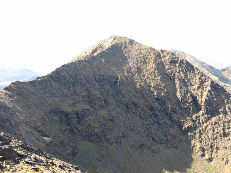
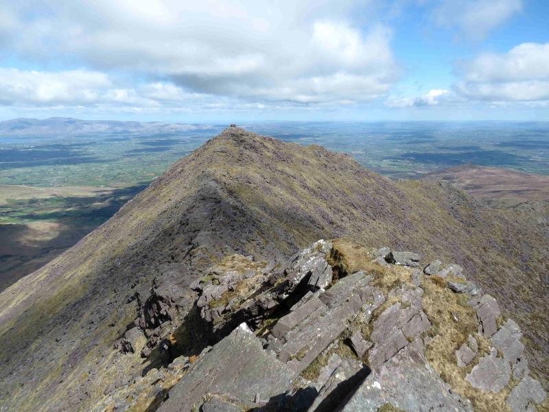
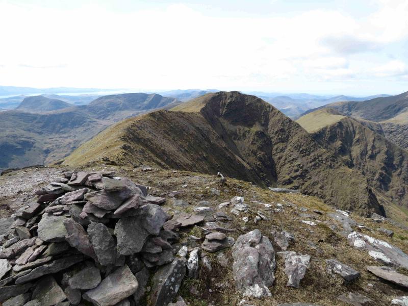
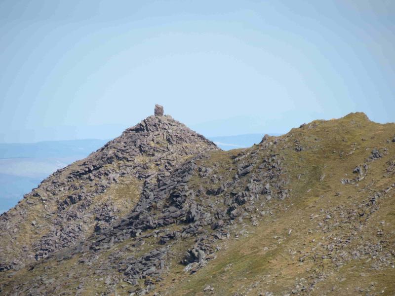
(1) From Cronin’s Yard walk back along the road for about 150 m and turn right, following the road up the hill then right. Go to the end of the road. Go through the gate directly in front, into a field, with a fence on your right. Keeping the fence on your right, walk ahead, then left along the edge of the field. Cross into the next field then exit on to open land. Aim for the fence ahead, on a level ridge, and follow it up a moderately steep grassy gully to emerge on a col. Turn right, W, up a path on a well defined ridge, over the shoulder of Cruach Bheag, then up more steeply, with scrambling opportunities to the huge “square” summit cairn of Cruach Mhor, 932 m. It is not really a cairn at all but a tall structure which contains a small religious grotto on its N side. This “cairn” is visible from the start on a clear day, making the summit very distinctive.
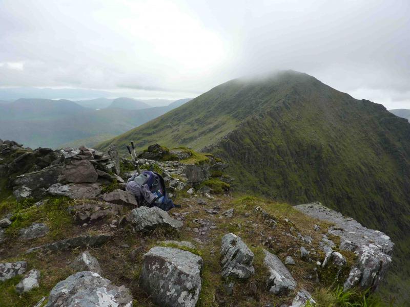
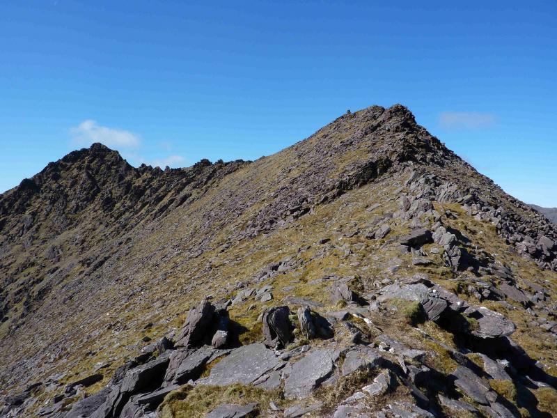
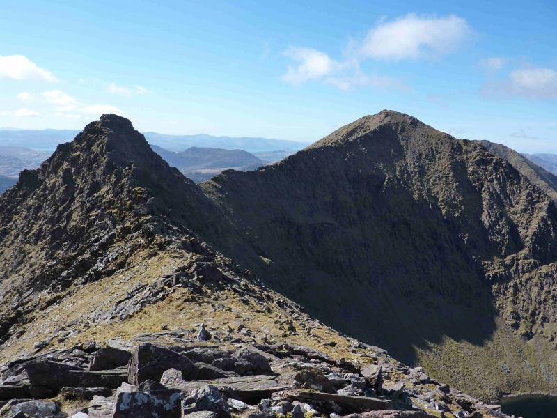
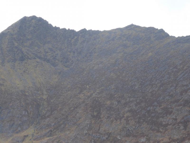
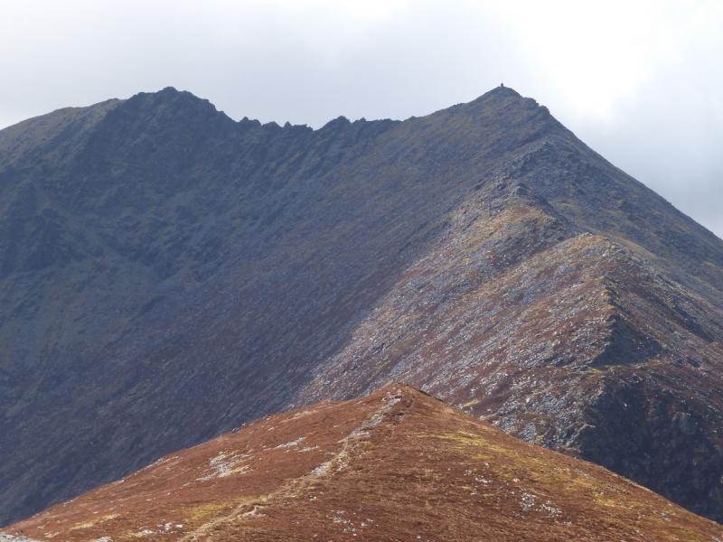
(2) Descend S to a col then ascend N. This section of ridge is very rocky. If the crest is adhered to, there are towers and hard scrambling sections but most of these can be avoided, often on the right, N. Eventually reach the summit cairn of the Big Gun, 939 m, which is essentially a large rocky pinnacle.
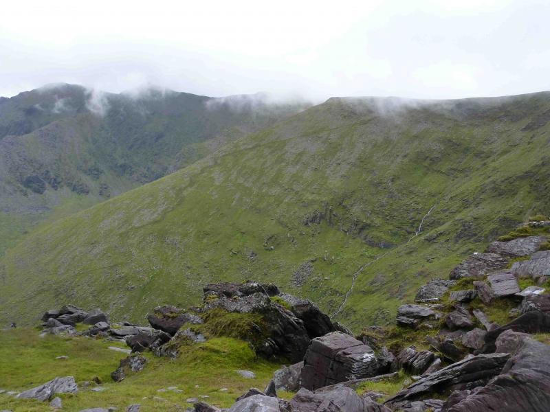
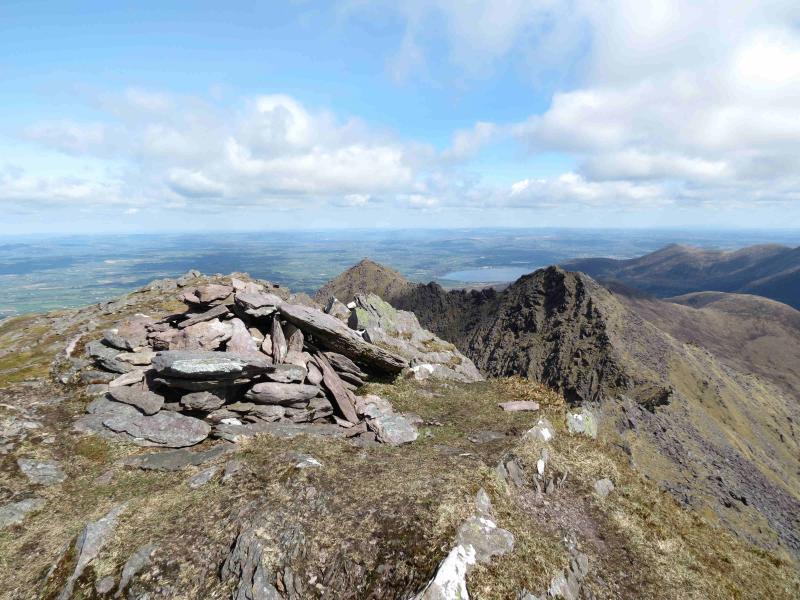
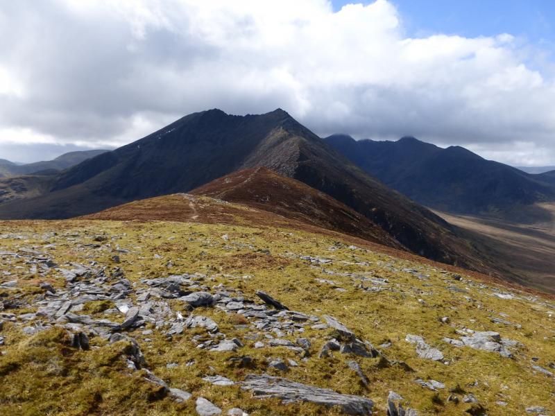
(3) From here to the next summit, the ridge is still very rocky. Descend SW on a path to a col then ascend to the large summit cairn of Cnoc na Peiste. The rocky difficulties are now virtually over.
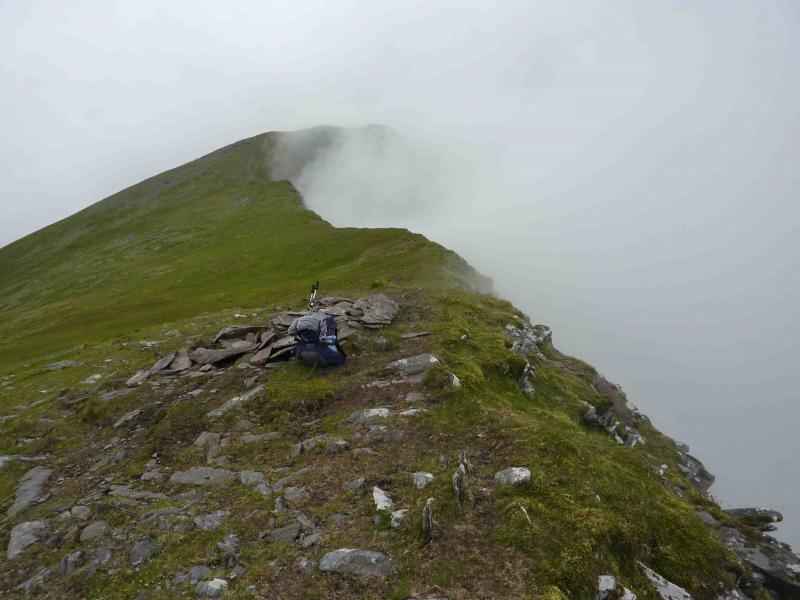
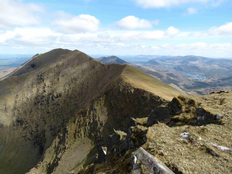
(4) Descend grassy slopes, SSW, on a good path to a col then ascend SW to the summit cairn of Maolan Bui, 973 m.
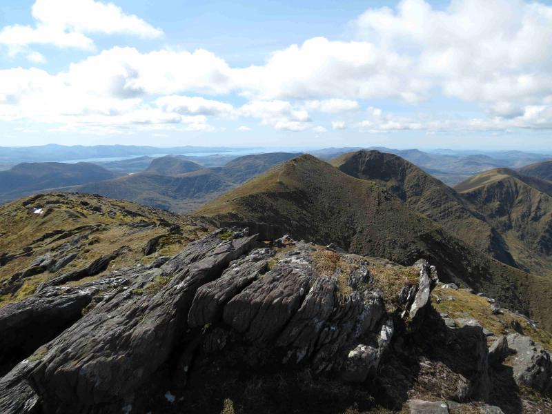
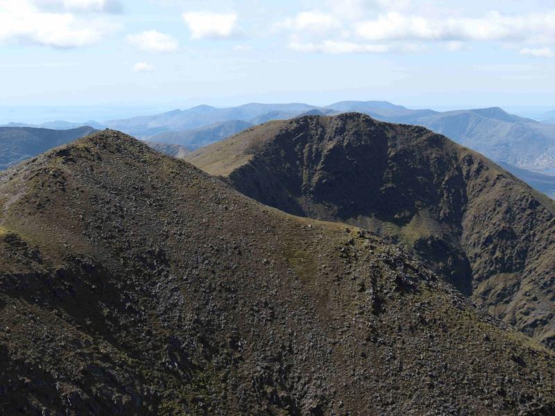
(5) Descend SW on a good path to a grassy col followed by a short ascent to an unnamed top, 926 m, with a small cairn. Descend a little way SW then ascend, also SW but gradually curving around to NW, to reach the summit cairn of Cnoc an Chuillin, 958 m.
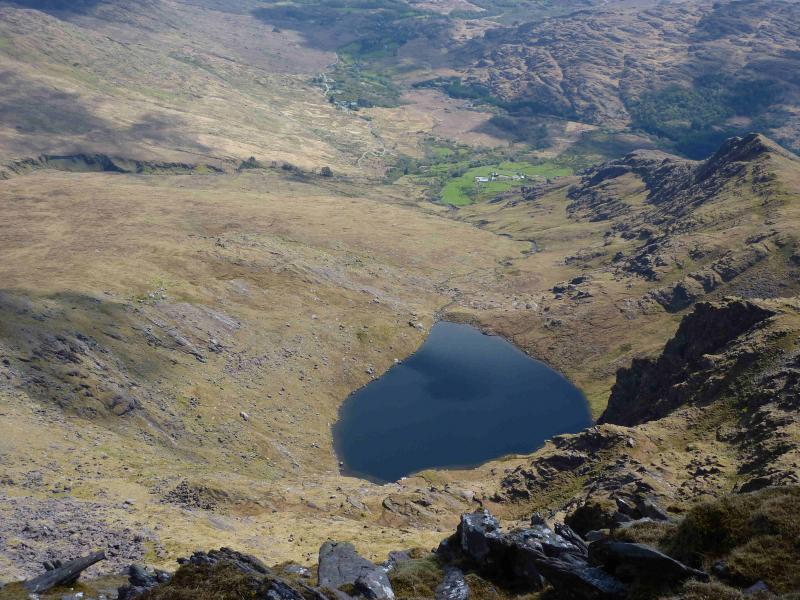
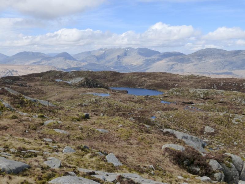
(6) Continue, descending WNW, on a good path, to the col at the head of a gully due S of Lough Callee. From here, the edge on the right, N, can be followed up to a fence and onto a flat top or the more obvious path which traverses to the S of this top. On the flat top, the grassy ridge turns WSW, dipping slightly. Continue to follow the edge (now to W). At a slight dip is a cairn. Look down the slopes to the W to see a good path running below the crest and going back towards the flat top but below it and gradually dropping away. Alternatively, walk another 40 m or so and spot a small cairn just below the crest marking the start of the path below the crest. Follow this path as it gradually descends below but, initially at least, following the crest below the flat top. Eventually, the path zig-zags down to reach the main path in the upper Hag’s Glen at a small cairn. Turn right and follow the main path down the Glen. Cross the river by some very good stepping stones which should always be above the water. Further down , the path/track splits. Take the right fork down to a new footbridge and continue over another footbridge back to Cronin’s Yard.
Notes
(a) This walk took place on 12th July, 2010.
(b) An alternative descent to Hag’s Glen is to stay on the ridge and not take the zig-zag path but to continue to the lowest point on the ridge which is the top of a steep, loose descent known as the Devil’s Ladder which leads to the main path in upper Hag’s Glen. Care is needed if descending the Devil's Ladder and many choose to avoid it.
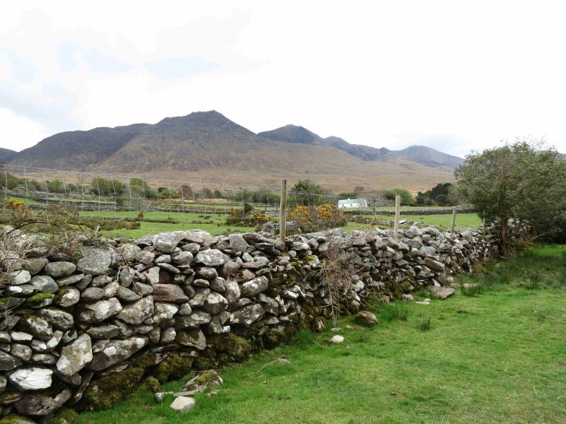
(c) The Fossa camp and caravan site, at V 910 923 is very good and very well situated for the Killarney mountains, especially Macgillycuddy's Reeks and Purple Mountain as it is only about 3 miles from Kate Kearney's Cottage. At Fossa, there are camping and caravanning facilities as well as a hostel and static trailer vans can also be hired. For campers, there are excellent showers (small extra charge) and there is a good campers’ kitchen with tables, sinks and cooking area if you have your own cooker and pans. Gas rings are available (small extra charge). There is also a TV room. Reception is open quite late in the high season and the staff are very helpful. A computer is available for hire and there is a freezer in reception. There is a bus stop outside the site for Killarney. There is a 24 hour Tesco which is off the northern bypass (turn right at 4th roundabout then right at next). Out of high season, it can be better for 2 people to rent a trailer van than to camp separately.
Photos - Hover over photo for caption. Click on to enlarge. Click on again to reduce.