Get Lost Mountaineering
You are here: Scotland » 12 Glen Cannich to Glen Carron » East of Strathcarron & Achnashellach
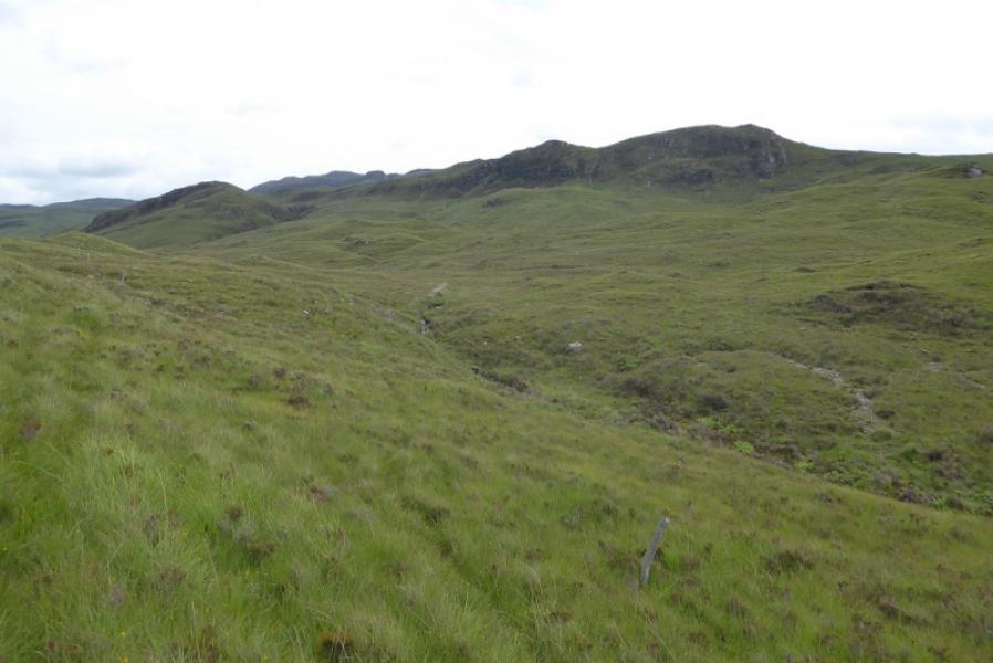
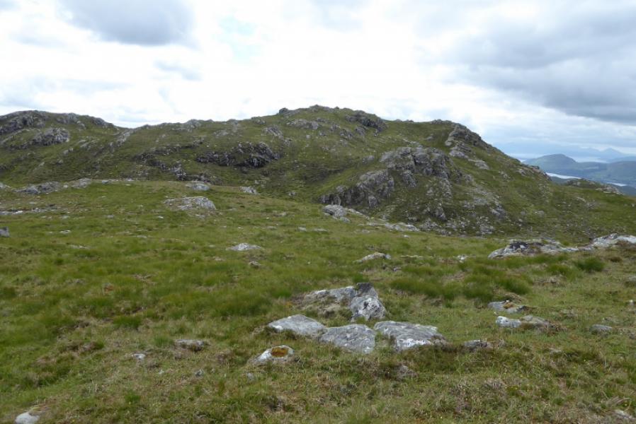
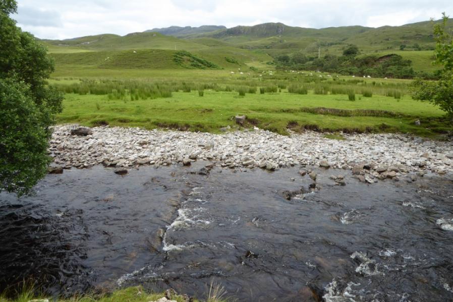
Creag Dhubh Mhor from Strathcarron Station
Creag Dhubh Mhor from Strathcarron Station
Start/Finish
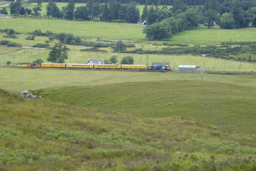
Strathcarron station where there is a variety of parking in and around the station and hotel. The station is on the road from Achnasheen to the Kyle of Lochalsh and is about 2 miles from Lochcarron village.
Distance/Time
12 km walk. About 5 – 6 hours.
Peaks
Creag Dhubh Mhor, 612 m, NG 982 404. OS sheet 25: Glen Carron.
Introduction
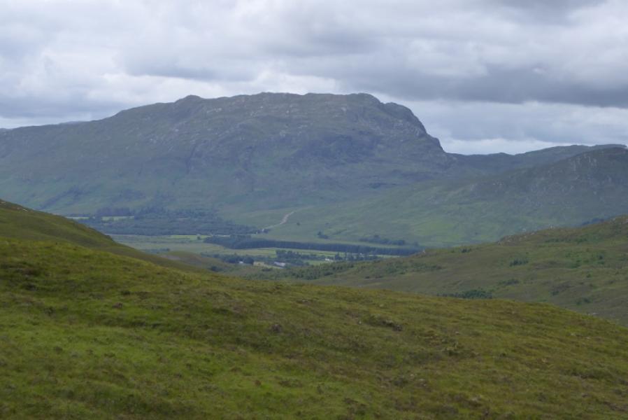
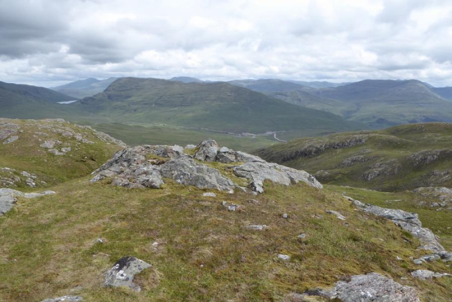
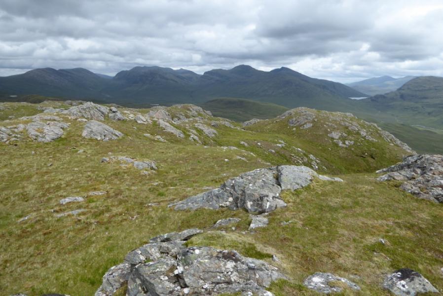
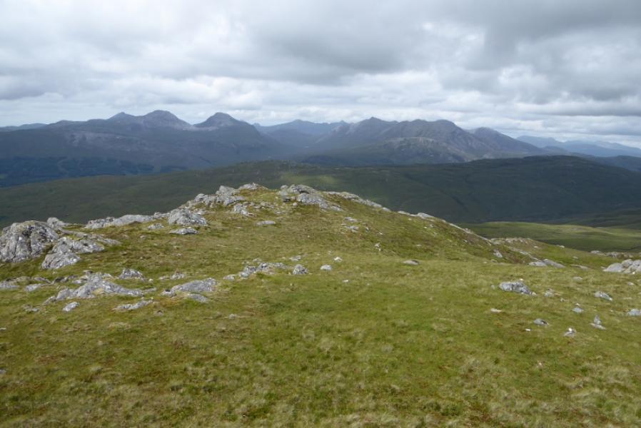
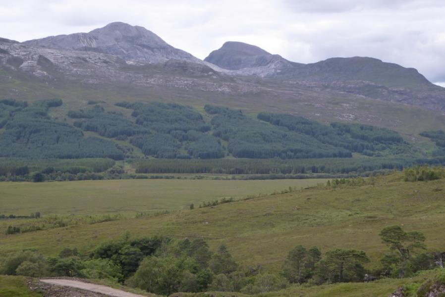
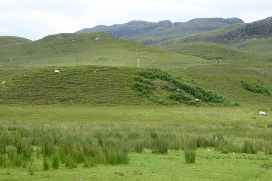
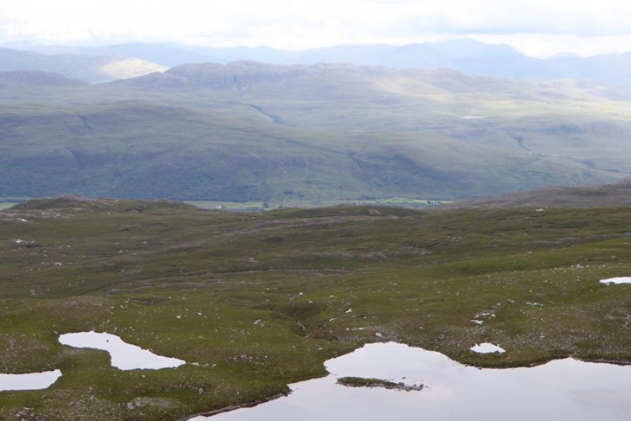
Creag Dhubh Mhor is the hill seen when looking ESE from Strathcarron station. Much of the route uses an old stalkers path which is boggy in places. A new hydro road has made access more direct. Creag Dhubh Mhor is an excellent viewpoint and offers very good views to Sgurr na Feartaig, Bidein a' Choire Sheasgaich, Lurg Mhor, Beinn Dronaig, Aonach Buidhe, An Ruadh-stac, Maol Chean-dearg, Sgorr Ruadh and Fuar Tholl. Some Torridon peaks can also be seen on a clear day as well as the Loch Mullardoch hills.
Route
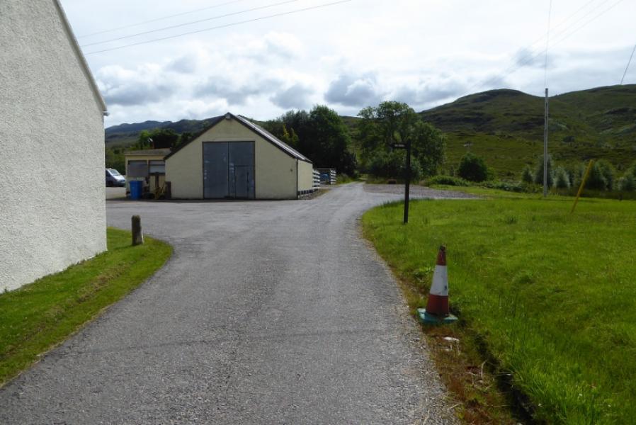
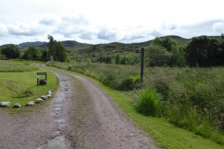
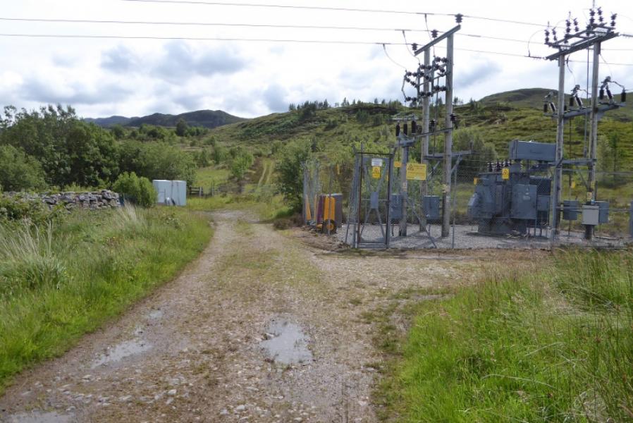
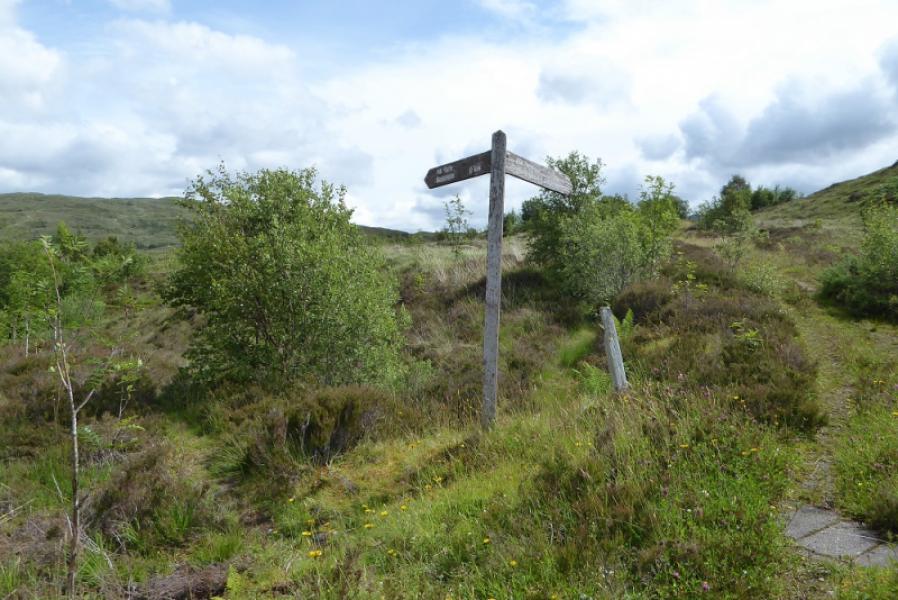
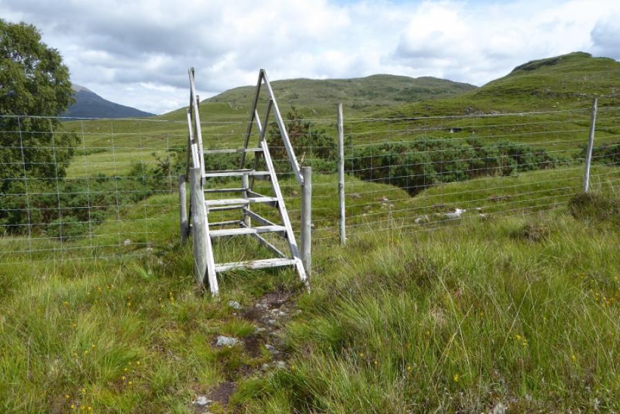
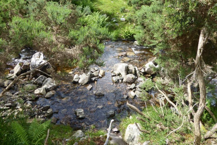
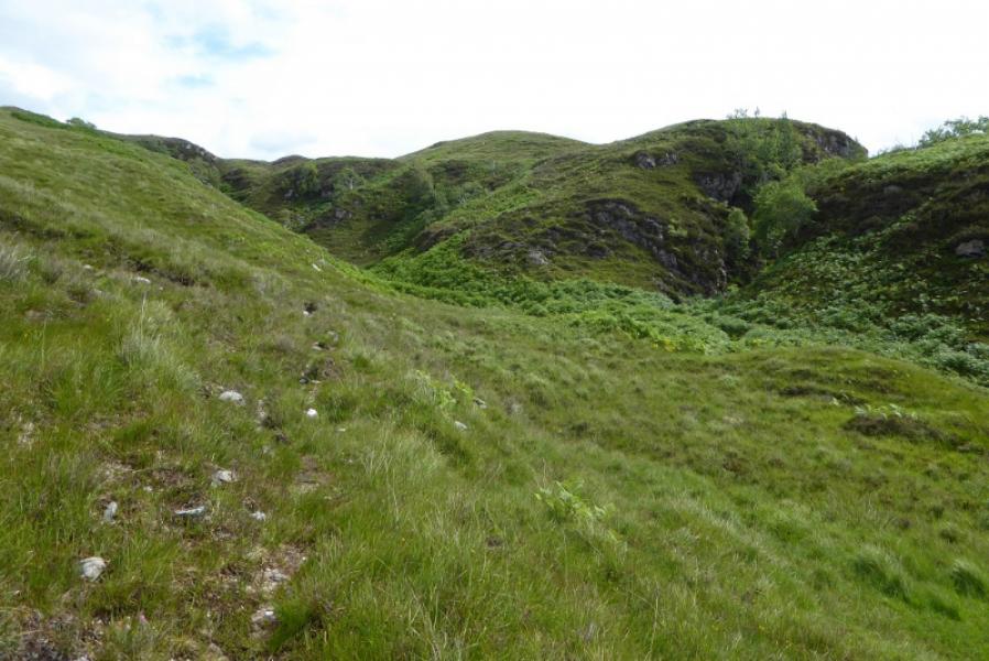
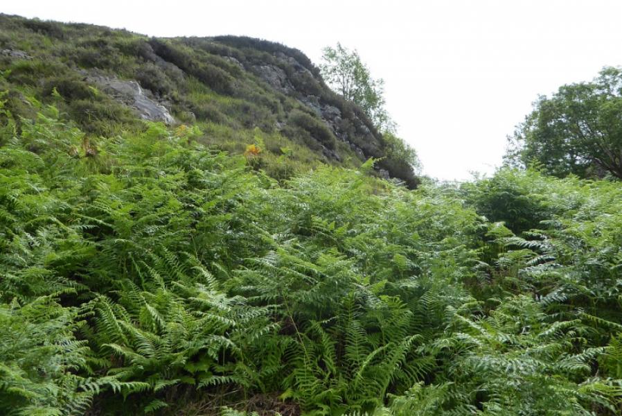
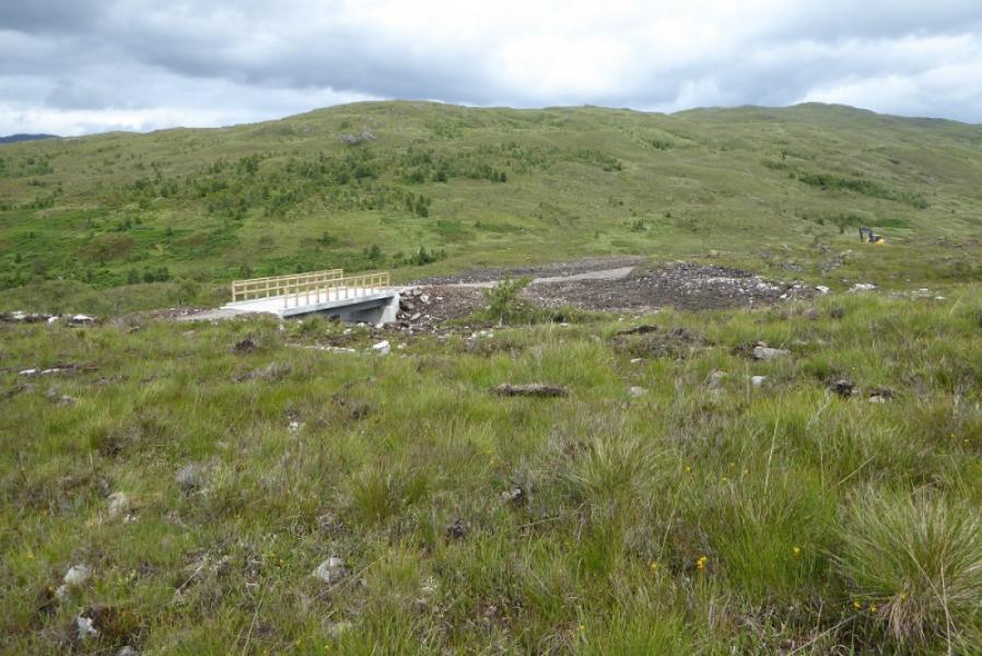
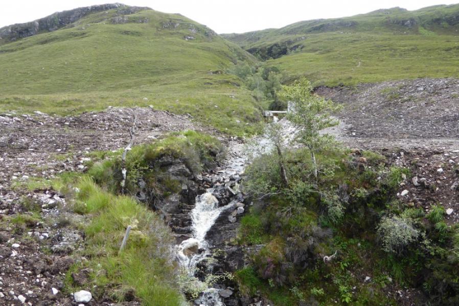
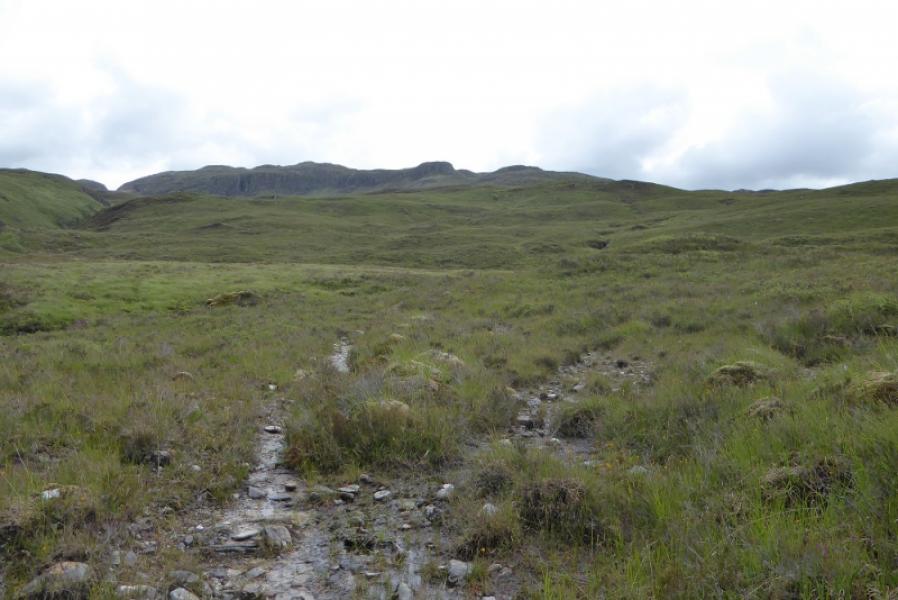
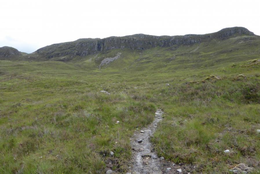
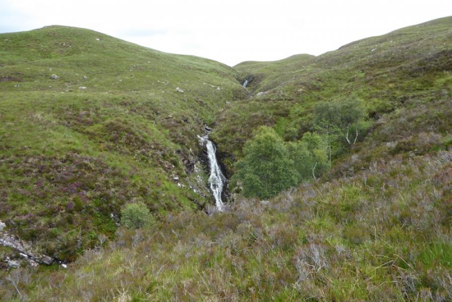
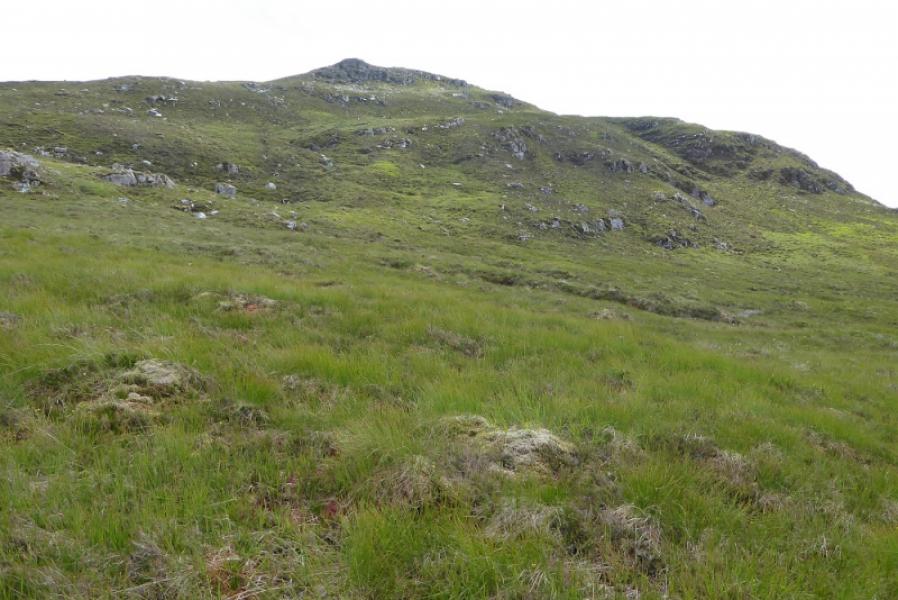
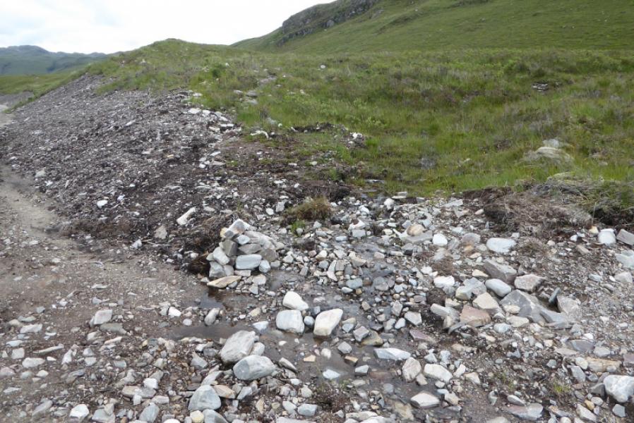
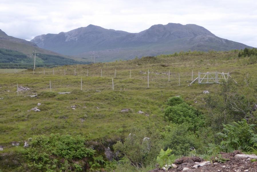
(1) The simplest start from the station is to come out on to the road, cross the level crossing then take the new hydro track which goes left almost immediately and passes through two gates then winds its way up, steeply in places, to reach a prominent new bridge at about NG 957 416 which is over a significant tributary of the main river. The traditional route goes along the main road for a short distance then up to Achintee where signs direct one through the hamlet and past an electrical sub-station. Soon after, a sign indicates a left turn onto a faint path which leads to a stile then crosses a stream before continuing to the tributary where the bridge is. However, the path becomes very faint and is difficult to follow across rough grassy terrain. Cross the bridge and follow the track for about 80 m to a very small cairn which is where the stalkers path picks up again. Follow this, boggy in places, for about 2.5 km, passing some waterfalls. The cliffs to the right should now be fairly obvious but they have a significant break in them at about NG 983 409 so leave the path and head for this easy but rough grassy gap. Once through the cliffs, push on SE to gain the ill-defined NE ridge which can be followed SW towards the summit over various false tops. Alternatively, stay on the path a while longer then leave it to reach the NE col. Eventually reach a small cairn on a large embedded boulder which is the summit of Creag Dhubh Mhor, 612 m.
(2) Retrace the outward route. Be wary of trying to make a direct descent NW as you will reach the top of the cliffs and have to go along the edge to outflank them.
Notes
(a) This walk took place on 9th July, 2017, and about 15 years earlier.
Photos - Hover over photo for caption. Click on to enlarge. Click on again to reduce.