Get Lost Mountaineering
You are here: Scotland » 12 Glen Cannich to Glen Carron » East of Strathcarron & Achnashellach
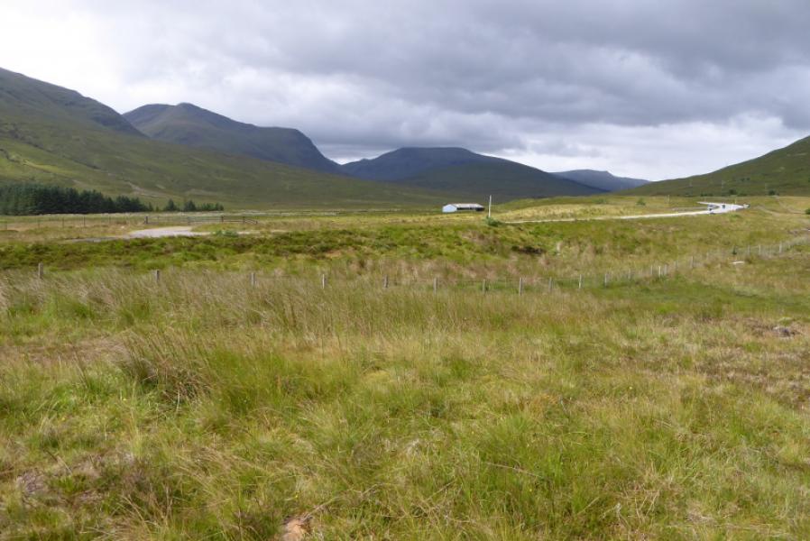
Sgurr na Feartaig from Craig on A890 about 10 miles SW of Achnasheen and about the same NE of Lochcarron
Sgurr na Feartaig
from Craig on A890 about 10 miles SW of Achnasheen and about the same NE of Lochcarron
Start/Finish
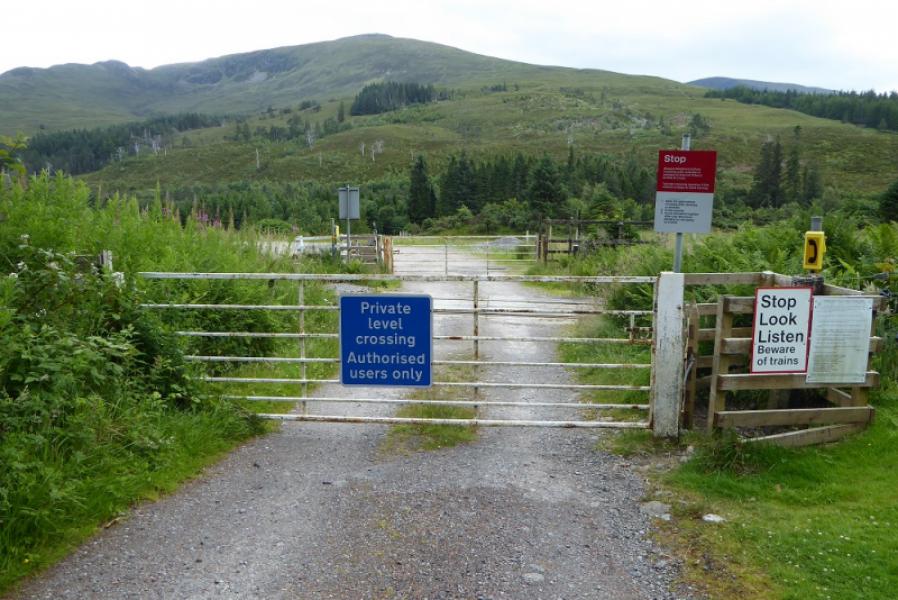
Car park (holds about 10 cars) up a track almost opposite the level crossing at Craig.
Distance/Time
15 km walk of which about 7 km can be cycled. About 6 – 7 hours.
Peaks
Sgurr na Feartaig, 862 m, NH 054 453. OS sheet 25.
Introduction
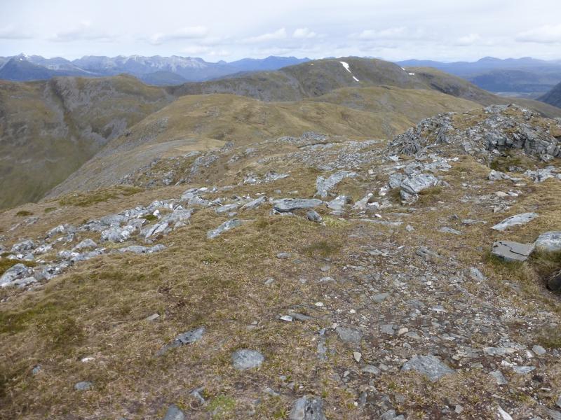
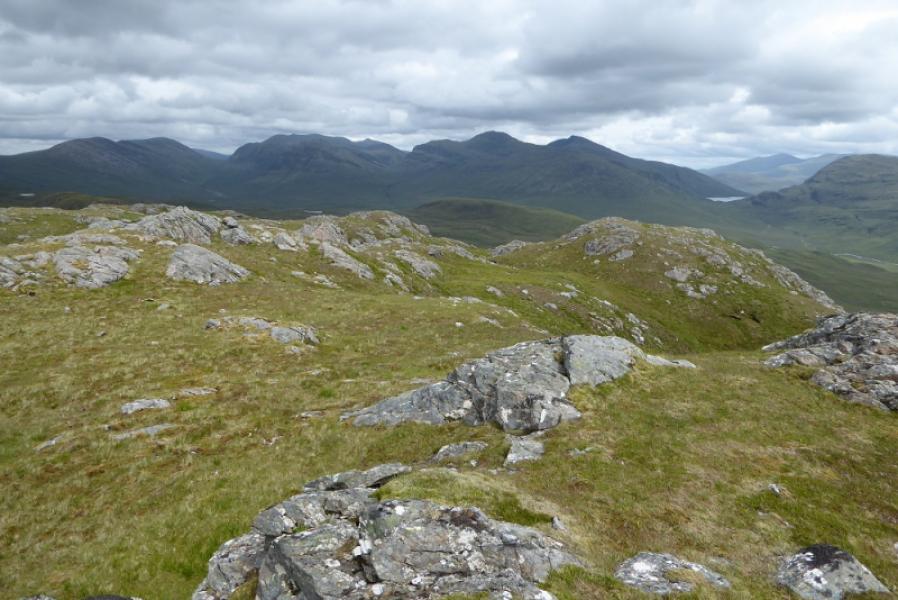
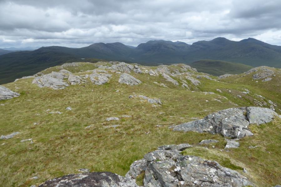
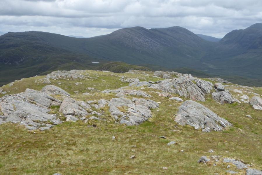
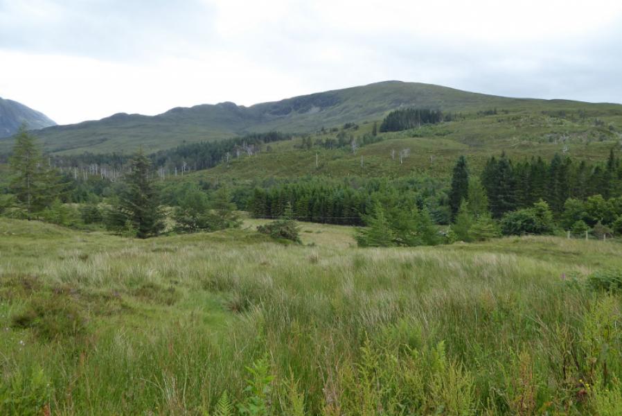
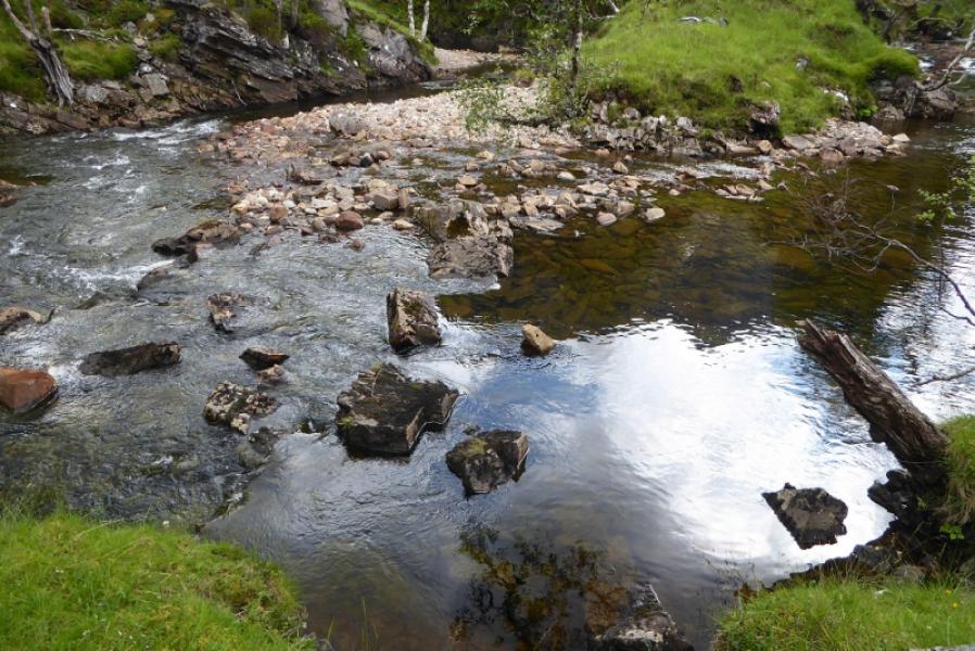
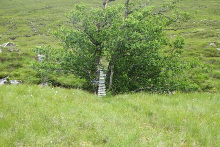
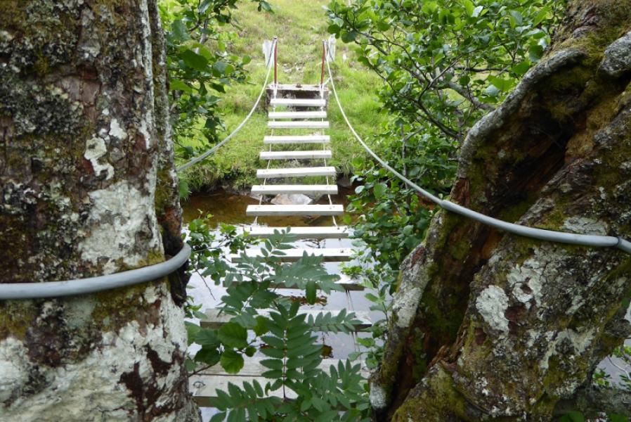
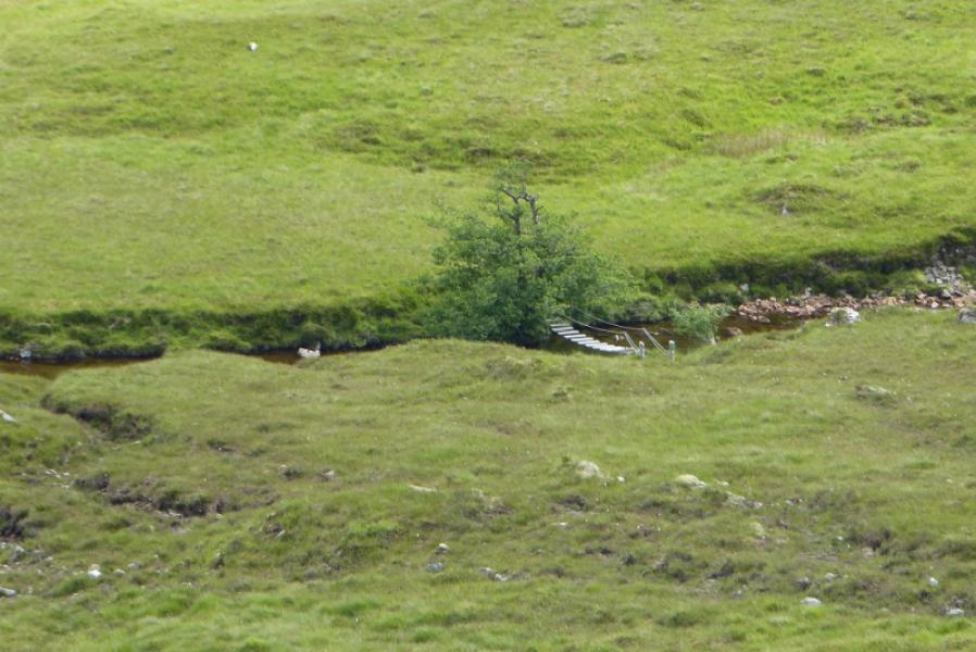
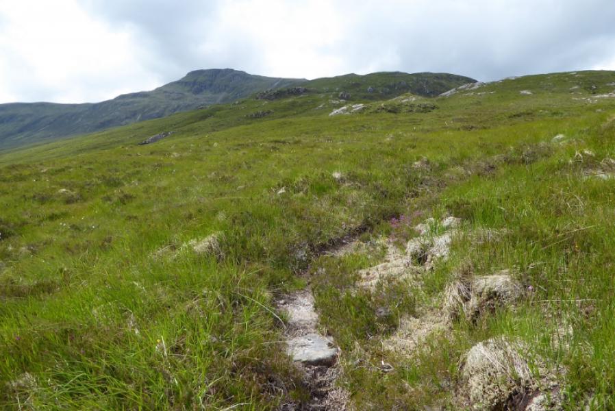
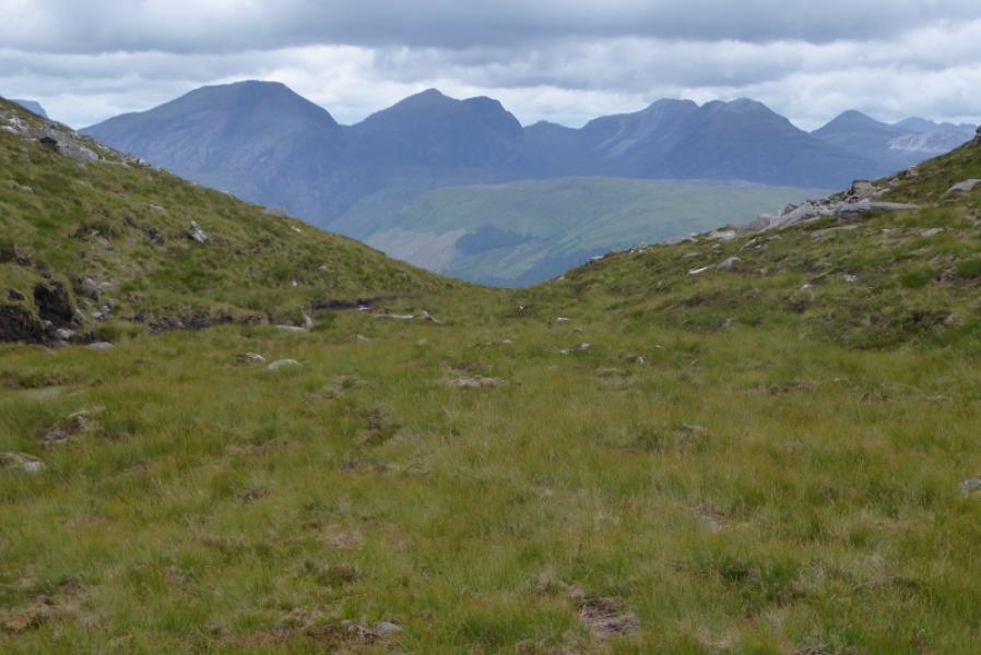
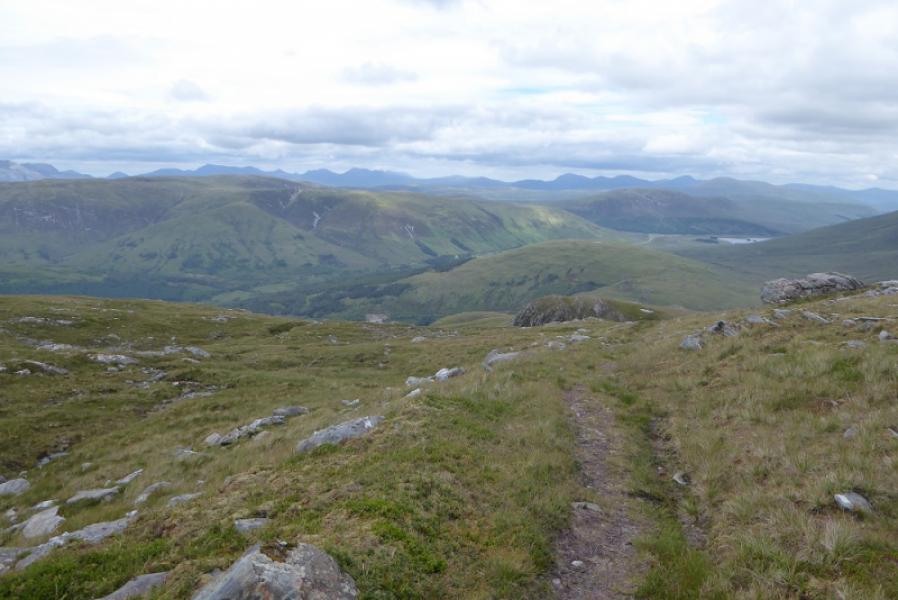
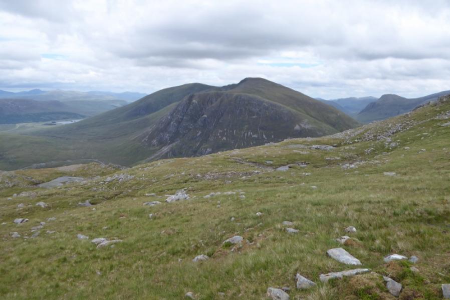
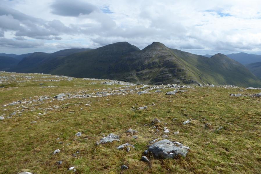
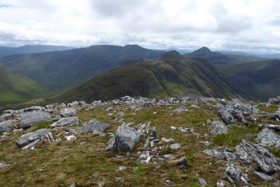
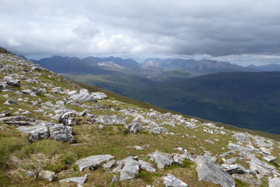
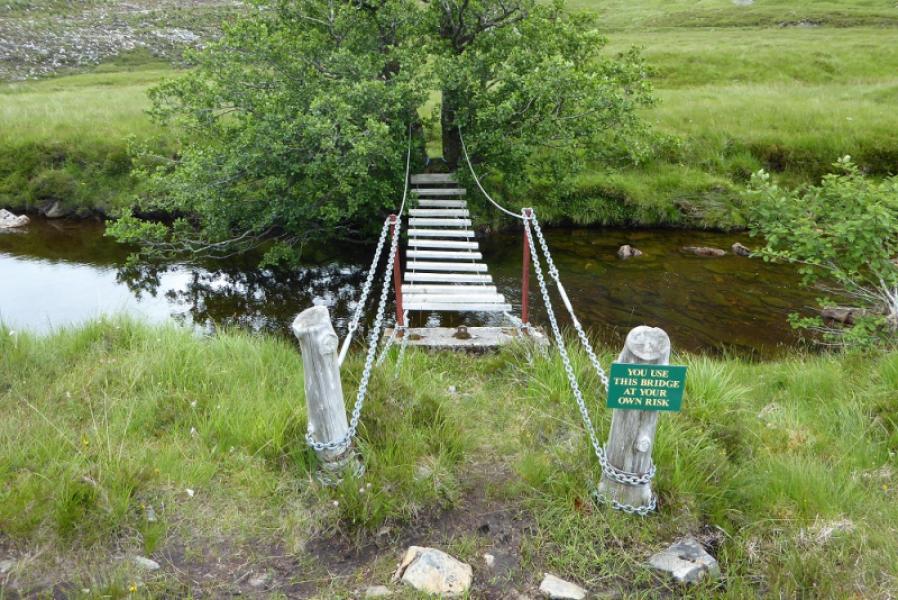
This is a lovely walk with a good track and path almost all the way as well as excellent views which include Maoile Lunddaidh, Sgurr a' Chaorachain, Sgurr Choinnich, Beinn Tharsuinn, Bidean a' Choire Sheasgaidh and Lurg Mhor not to mention the hills to the north of the road such as Beinn Liath Mhor and, further afield, to Torridon. There is a river to be crossed on the outward and return route. There is a suspension bridge with wire handrails. Its base is a series of slats with about 3 out of four deliberately missing so some may be a little put off! One end is attached to a dead tree so one day it will come down!
Route
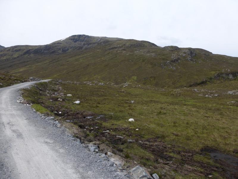
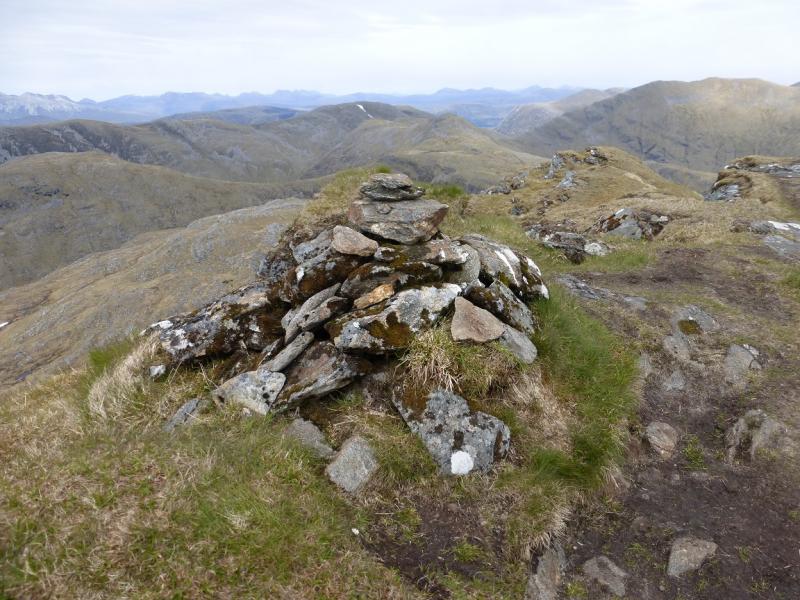
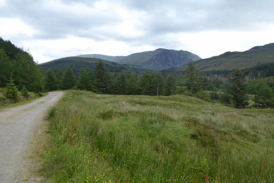
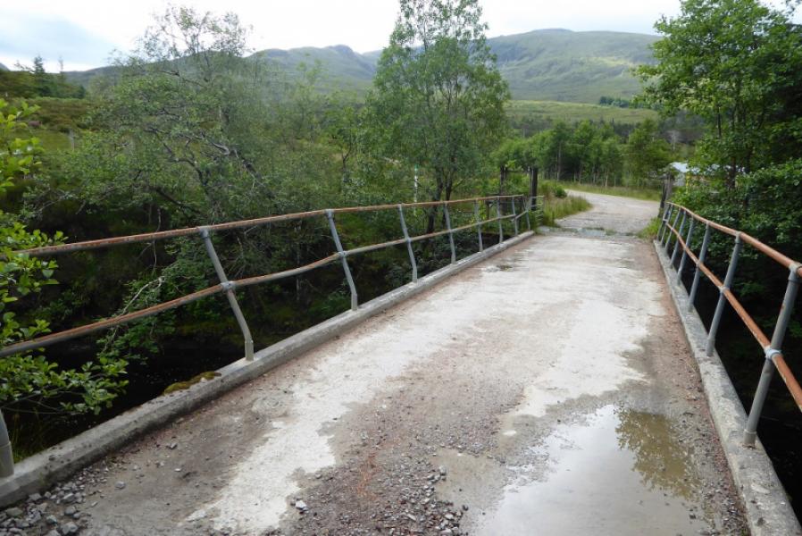
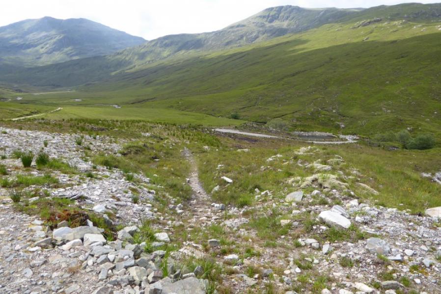
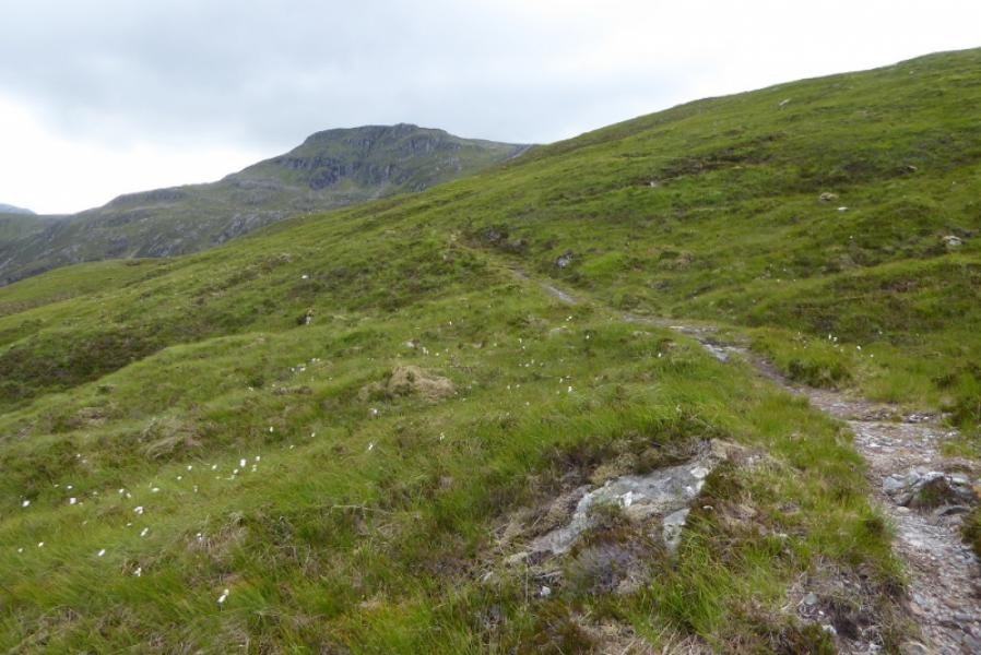
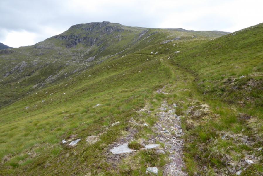
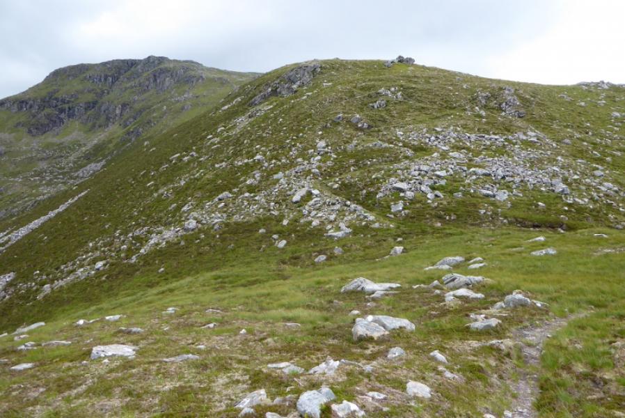
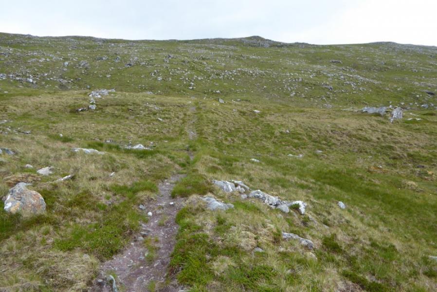
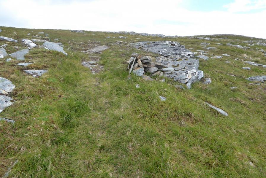
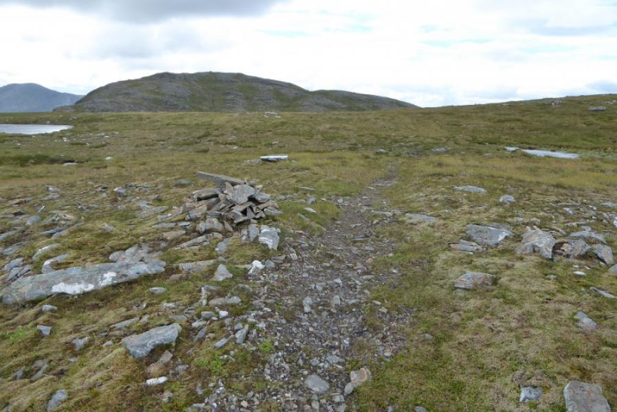
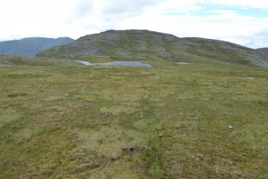
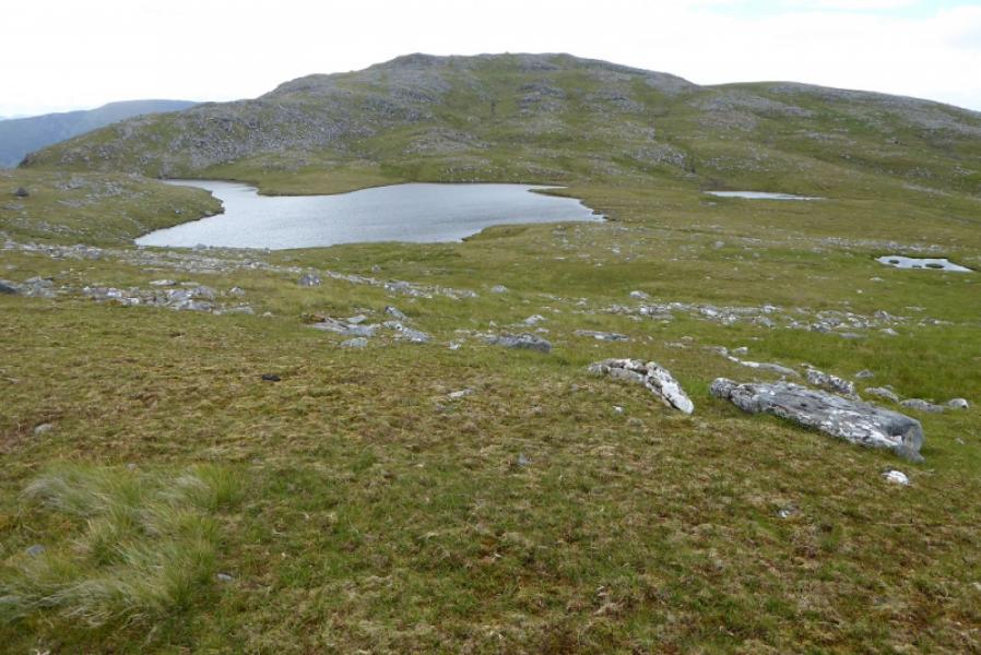
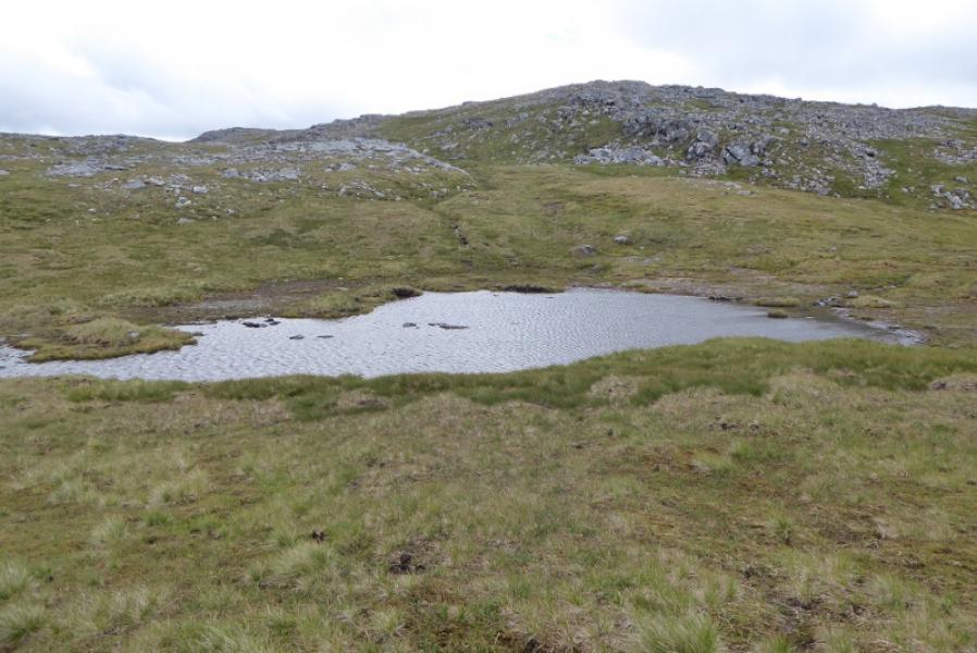
(1) At Craig, cross the level crossing and go left on the forest track which shadows the road for a while before reaching a bridge over the River Carron. Continue taking the track going left and uphill. Ignore any right forks which start after about 1 km of climbing. Reach a gate to leave the forest and continue, soon reaching the high point on the track. Continue for about another km, going round a sweeping right hand bend. Reach a new short track going down to a small dam. The construction of this track has destroyed much of the old stalkers' path shown on the map. The suspension bridge is upstream of the dam and hidden in a tree (!), the first tree from the dam. Some of the ground to reach the bridge can be wet and boggy. Cross the bridge then follow the bank downstream to the dam where you should be able to locate the stalkers' path going uphill. An alternative to the bridge, possible only if the river is at normal levels or below, is to go downstream past the gorge which starts at the dam then cross at a corner before picking a way over rough ground to intercept the stalkers' path from the dam. Follow the stalkers' path up the hillside. It is a very well made path and picks its way up with minimal effort. Higher up, it passes a lochan (on the left) before reaching a short broad cross ridge where the path becomes quite faint. There is now a gentle grassy descent towards the three lochans of which Loch Sgurr na Feartaig is the largest. The path actually passes the furthest right of the lochans and becomes more distinctive. Continue for about 800 m from the lochan then head left (E) uphill and soon reach the very large cairn which is the summit of Sgurr na Feartaig, 862 m. The summit can also be reached more directly by ascending S from the lochans. There is no path but the ground is straightforward.
(2) Retrace the outward route.
Notes
(a) This walk took place on 13th July, 2017, and about 15 years earlier.
Photos - Hover over photo for caption. Click on to enlarge. Click on again to reduce.