Get Lost Mountaineering
You are here: Scotland » 14 Loch Maree to Loch Broom and Garve » Letterewe & Fisherfield to Little Loch Broom
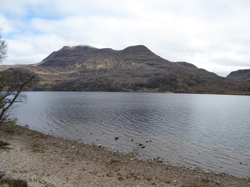
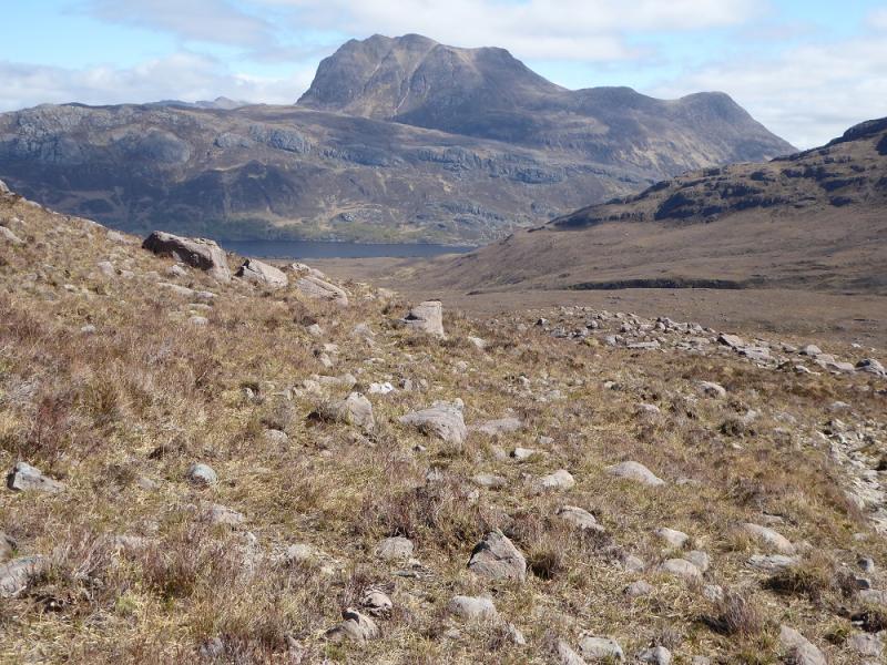
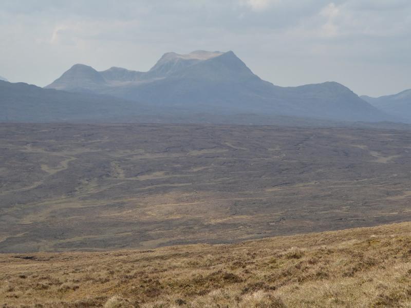
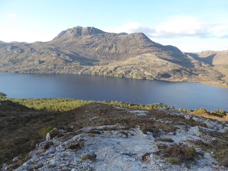
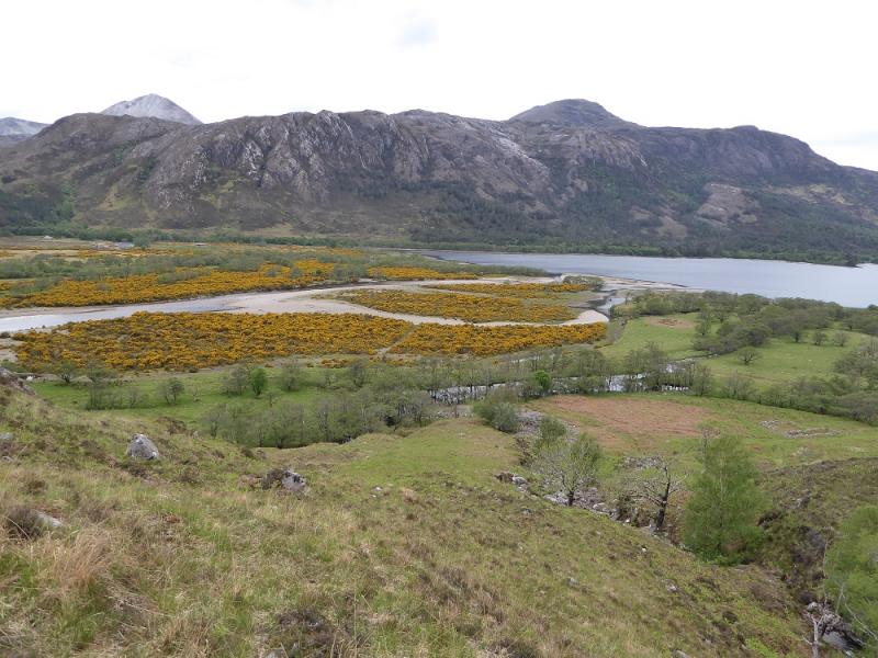
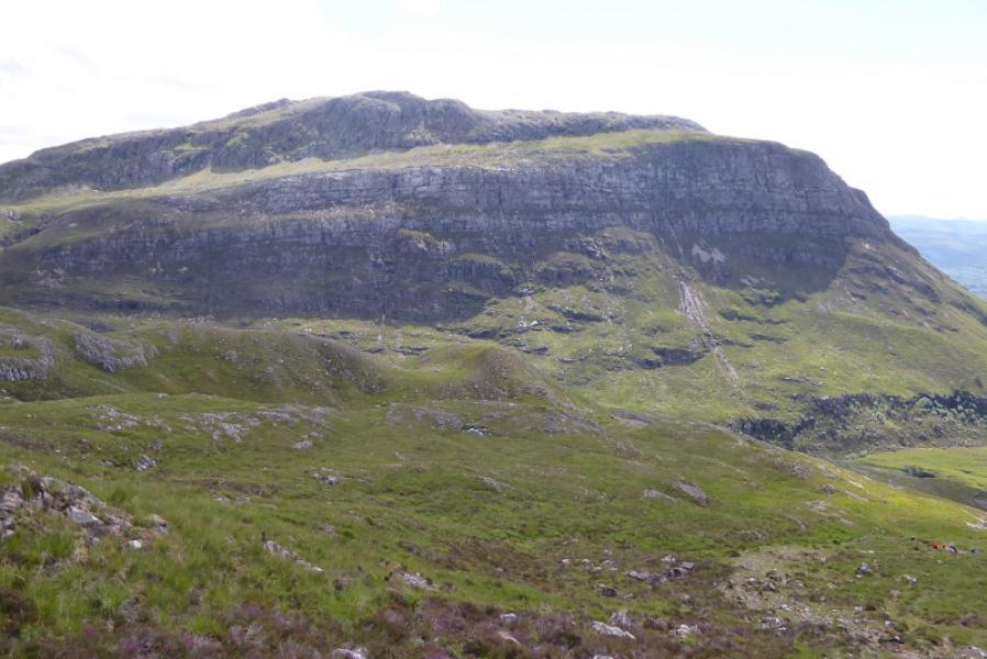
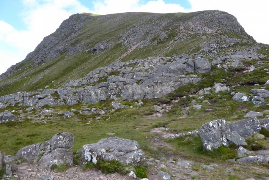
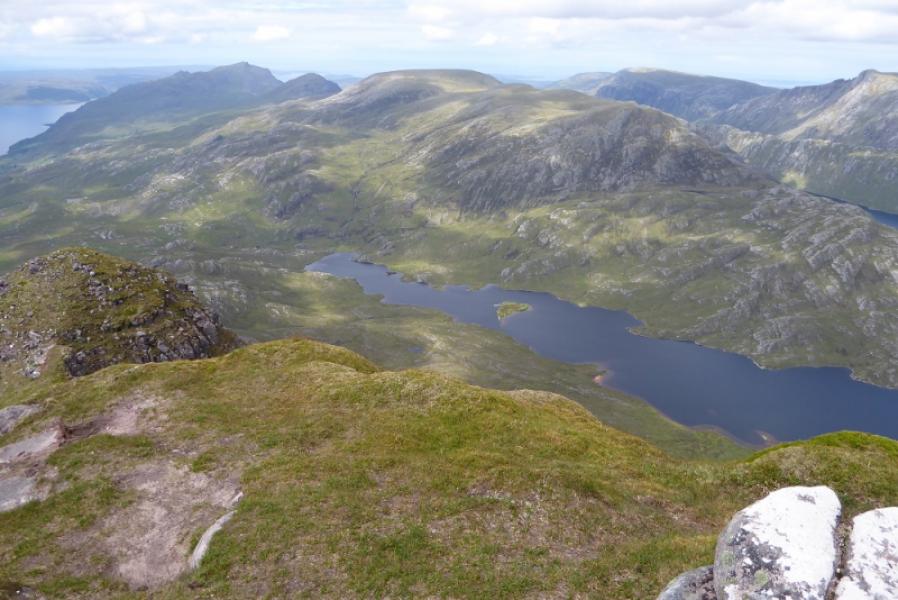
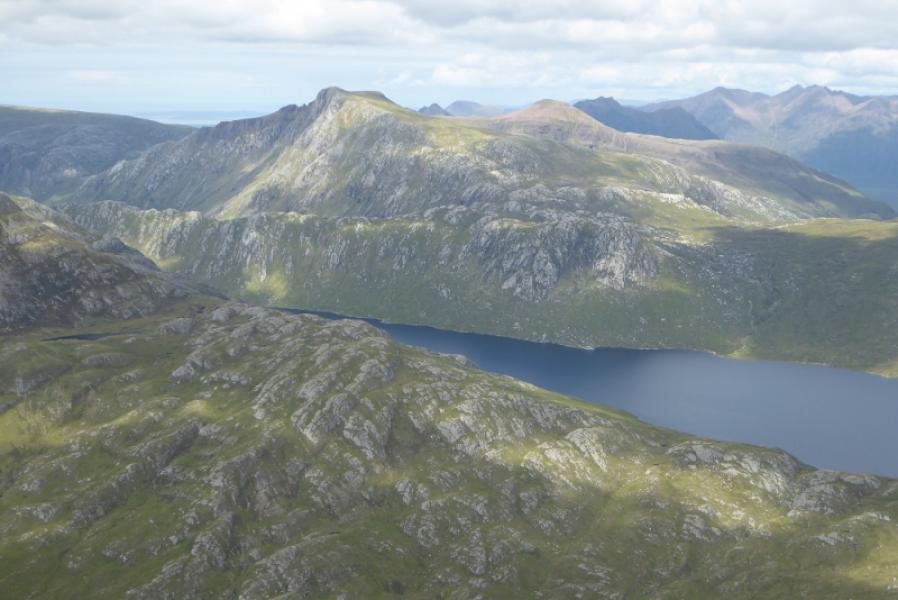
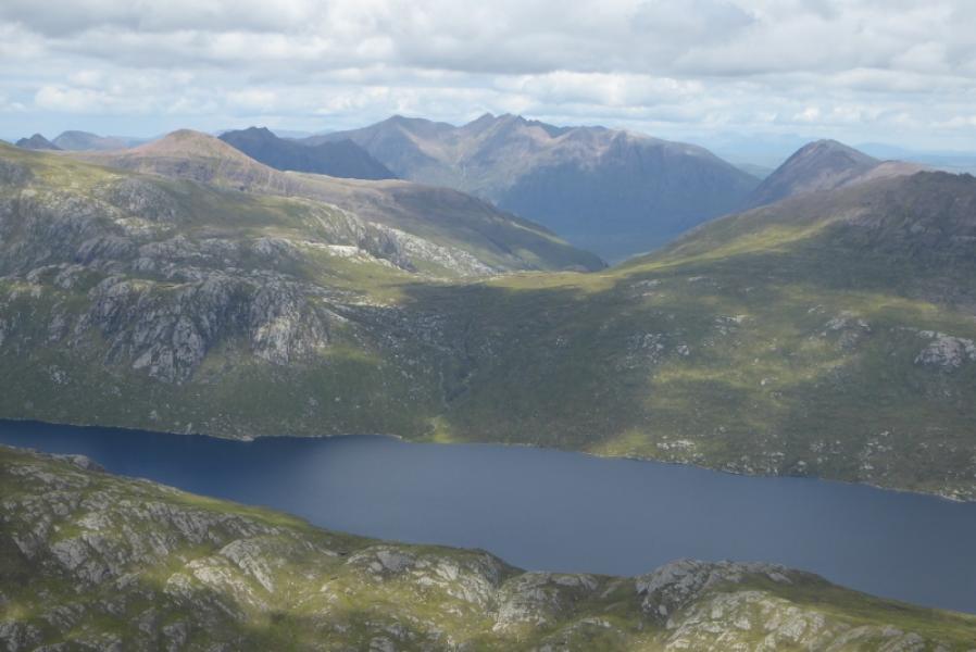
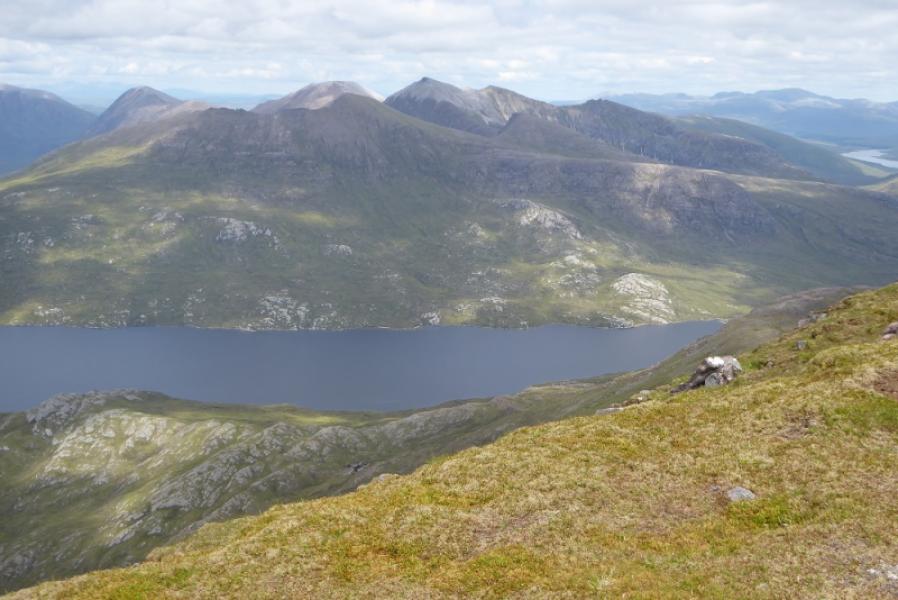
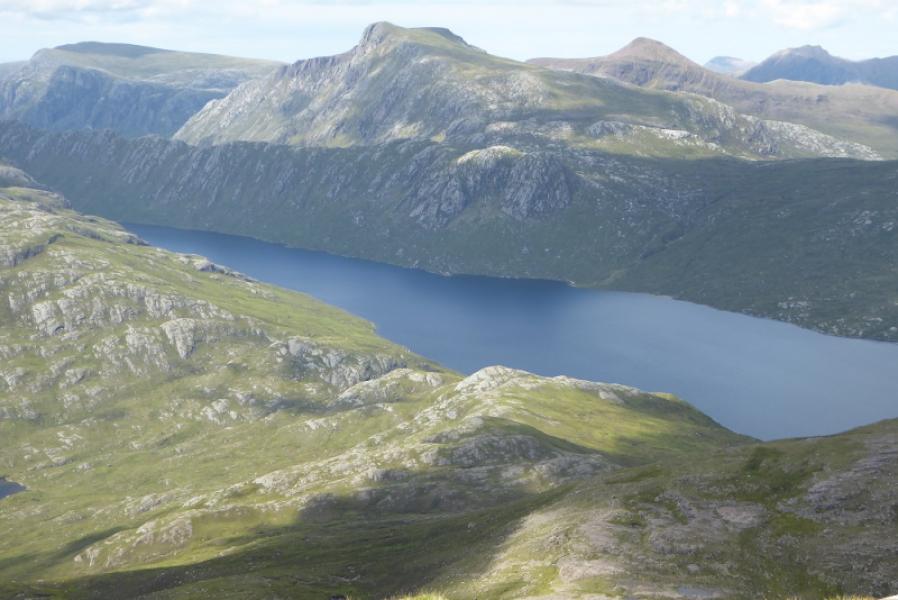
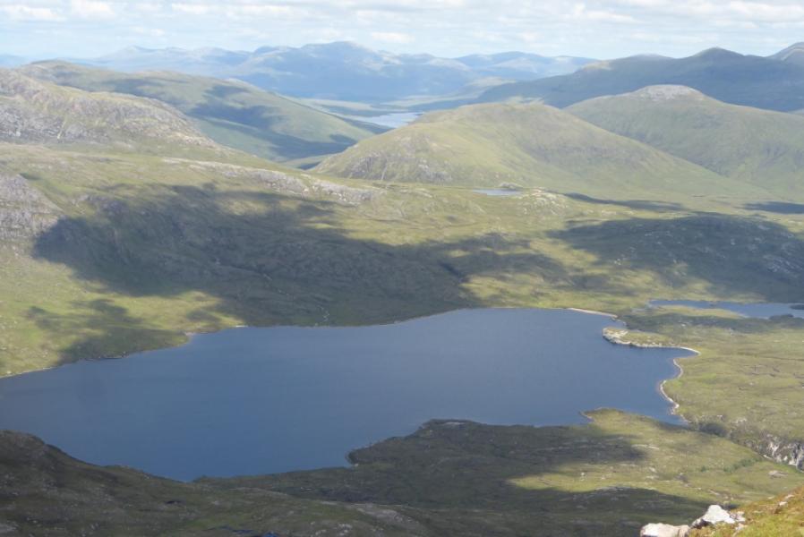
Slioch from Kinlochewe
Slioch from Kinlochewe
Start/Finish
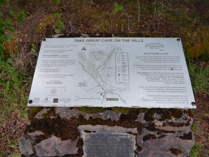
Incheril car park which is signed off the A832 road about 0.5 miles east of the junction in Kinlochewe. There is usually plenty of room to park but late starters may struggle on busy days!
Distance/Time
19 km. About 8 – 9 hours.
Peaks
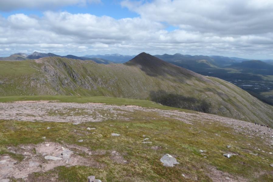
Slioch – North Top, 981 m, NH 004 690.
Sgurr an Tuill Bhain, 934 m, NH 018 688. OS sheet 19: Gairloch & Ullapool
Introduction
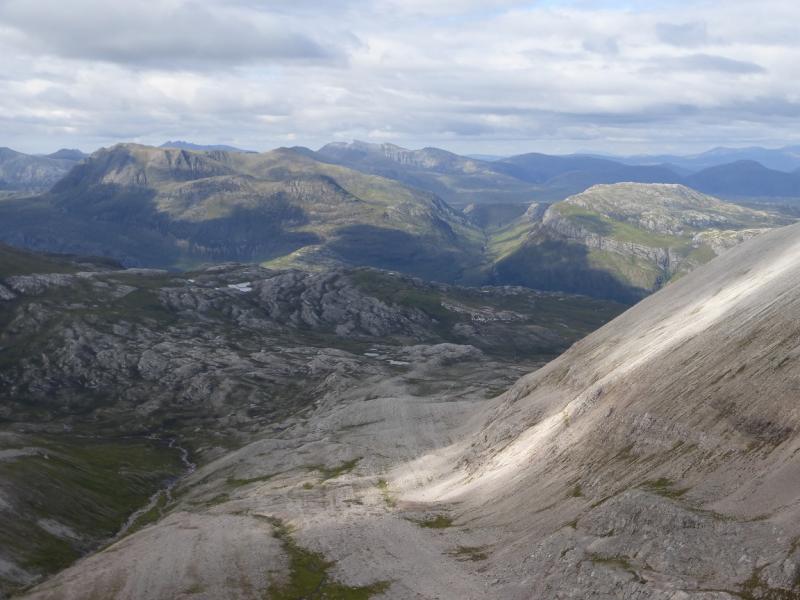
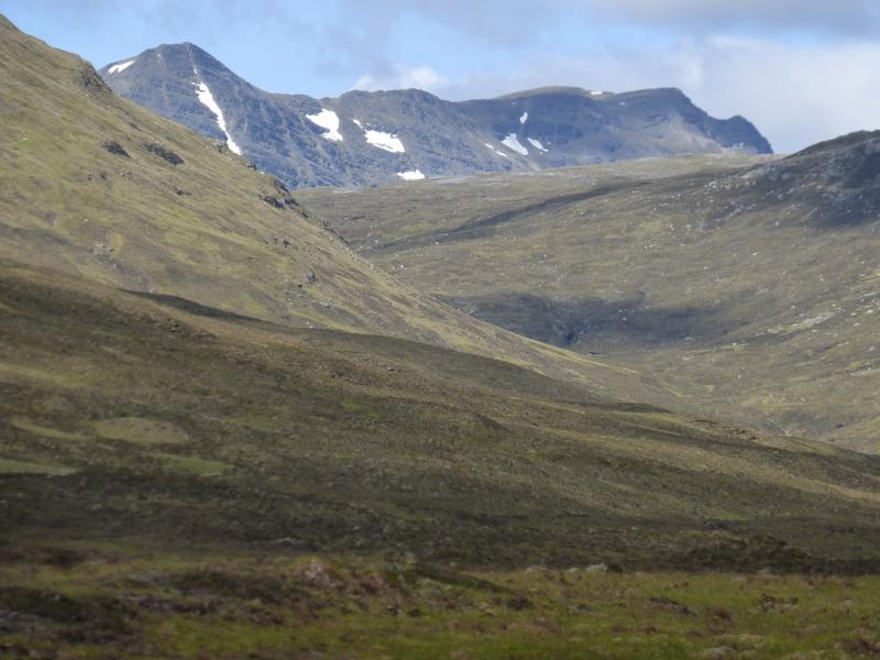
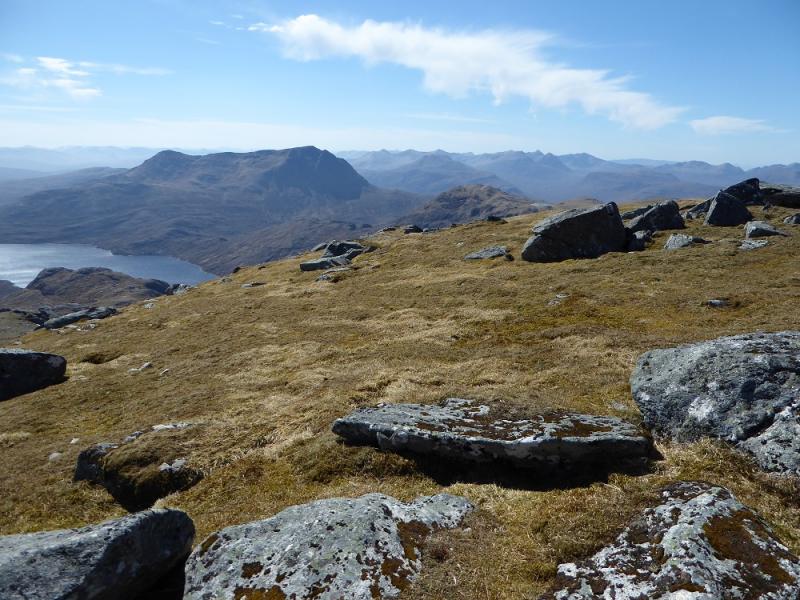
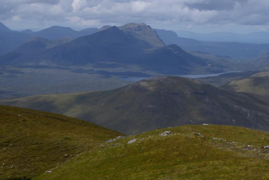
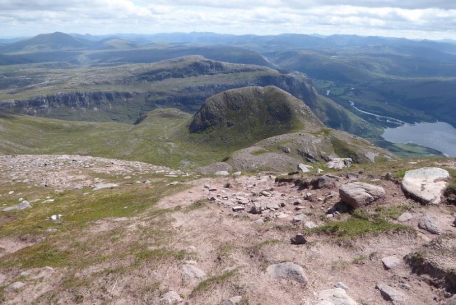
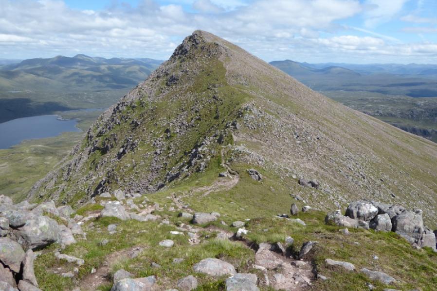
Slioch is one of the most famous mountains in Scotland, rising majestically above Loch Maree. It is a magnificent viewpoint for every other mounatin around it including most of Fisherfield, Beinn Eighe and many, many more. Unfortunately, such a great mountain deserves much better paths than exist at the moment. The “path” up from Loch Maree to the south east corrie is in a poor state as is the descent path back to this corrie from Sgurr an Tuill Bhain. Allow extra time because of these paths.
Route
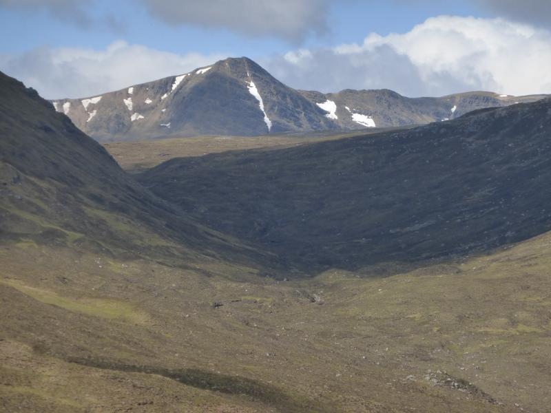
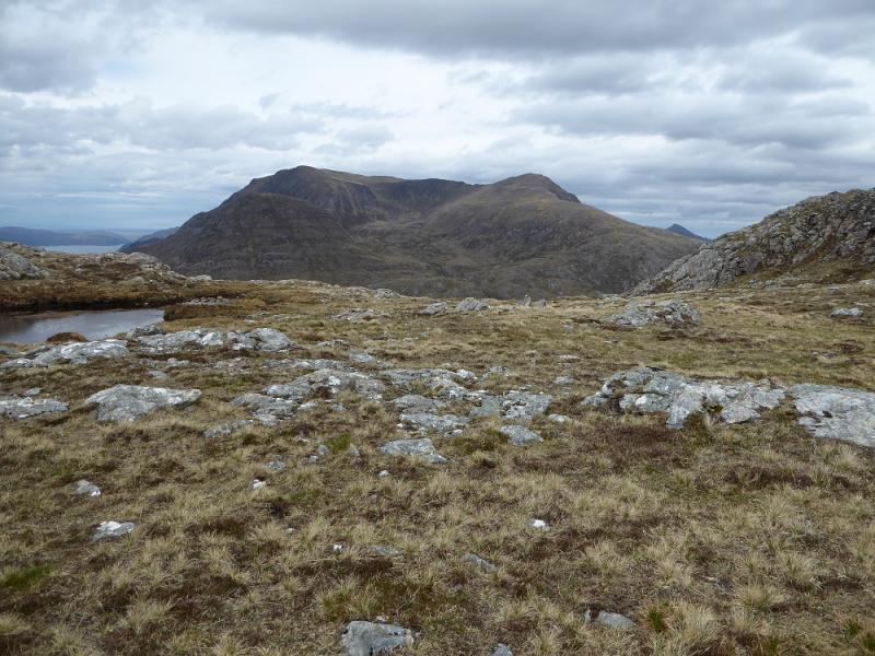
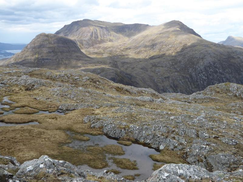
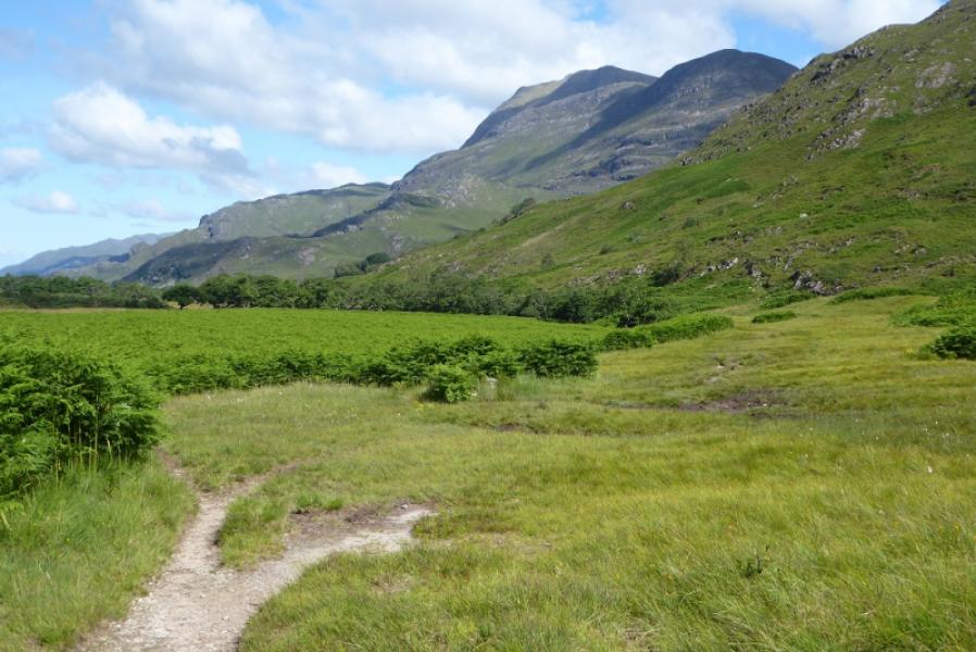
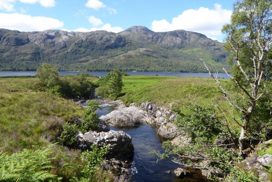
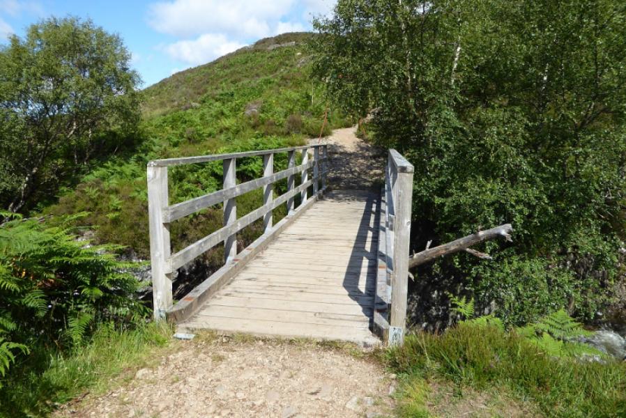
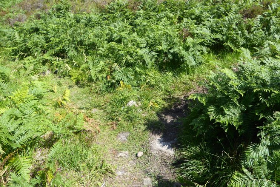
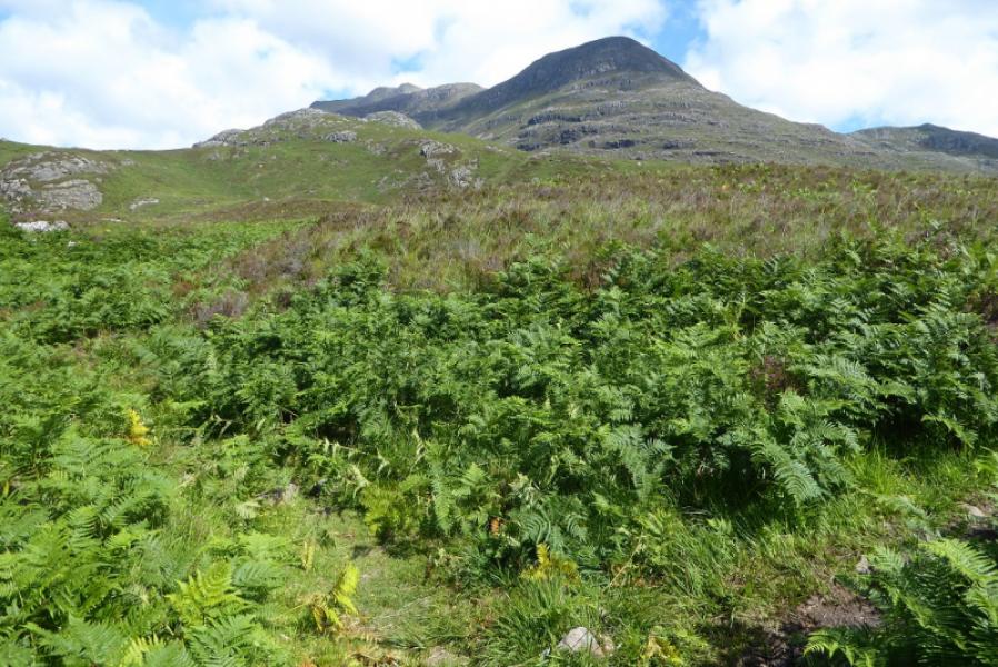
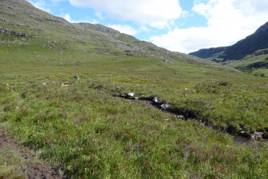
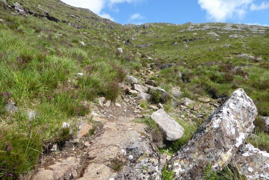
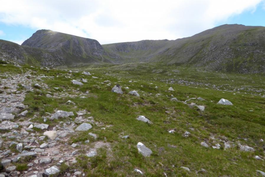
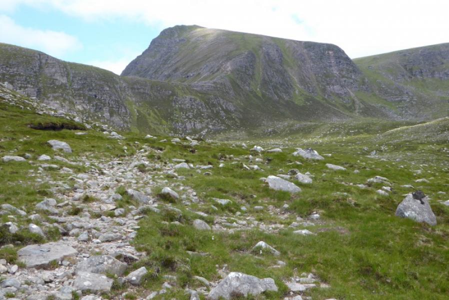
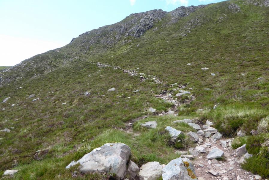
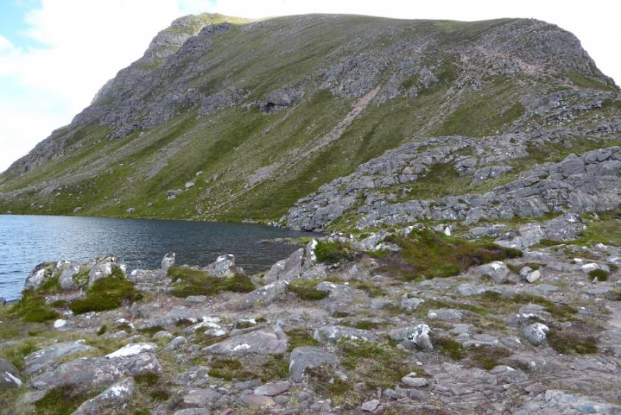
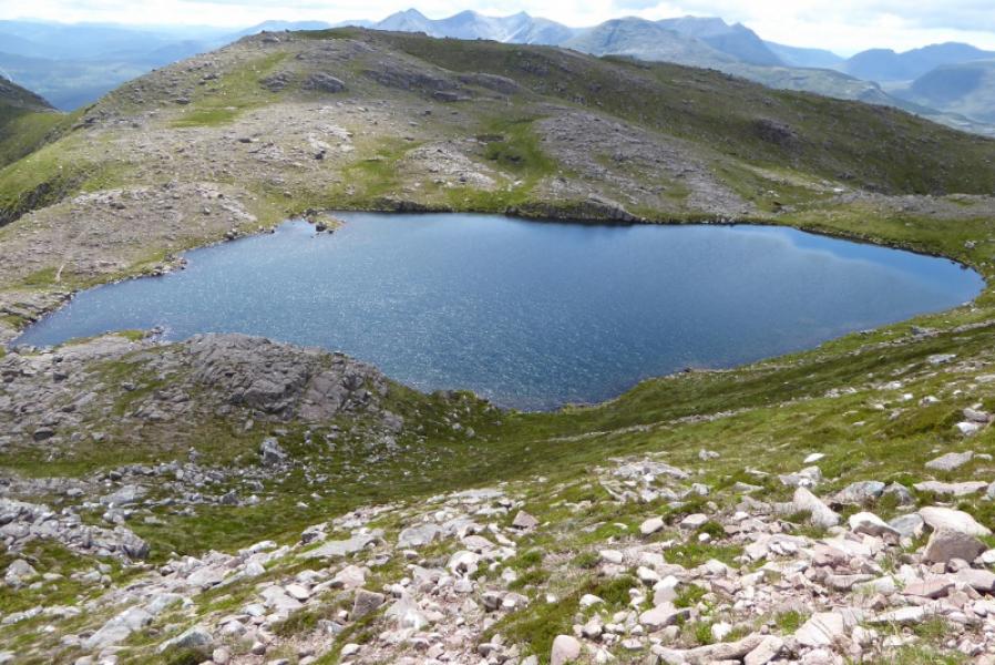
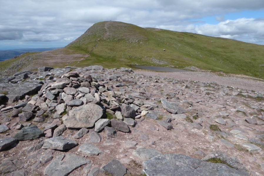
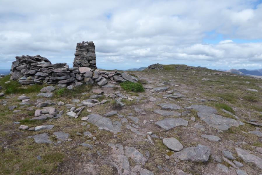
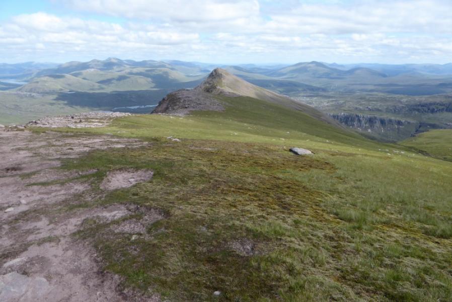
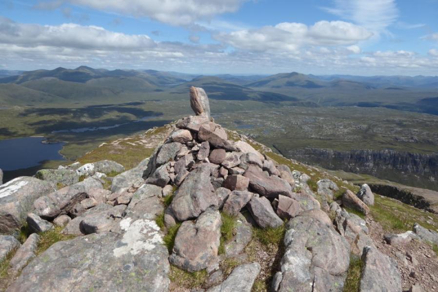
(1) The path starts at the cairn in the car park then heads E towards Loch Maree. Further on, the path gets close to the Kinlochewe River before diverging after a small cairn to avoid a large clump of gorse a little further ahead. After about 4 km walking, the path crosses a small tree lined stream. Continue, reaching the shore of the loch and the bridge at the foot of Gleann Bianasdail. Cross over. Soon after, the path splits. Take the right fork. Soon the path slants NW uphill and is quite eroded in places. There are many “lips” to go over before one finally passes through the shallow gap between Sgurr Dubh and Meall Each. Follow the often boggy path NW up the corrie until it turns left to ascend to the crest joining it close to the obvious lochan with another further over. The path picks its way up the right hand side of the crags over the lochans. There appear to be too many paths up this section! The next section is a straight line slog up a steep grassy slope to reach the outcrop which is the S Top. Continue over a broad shallow dip to reach the Trig Point then continue around the rim to reach the medium cairn which is the summit of Slioch – North Top, 981 m, the highest point on the mountain.
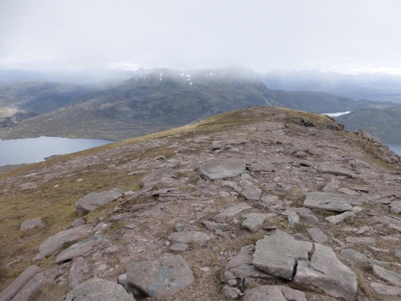
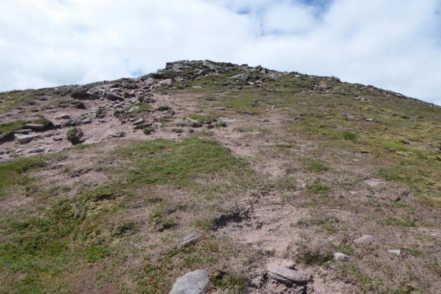
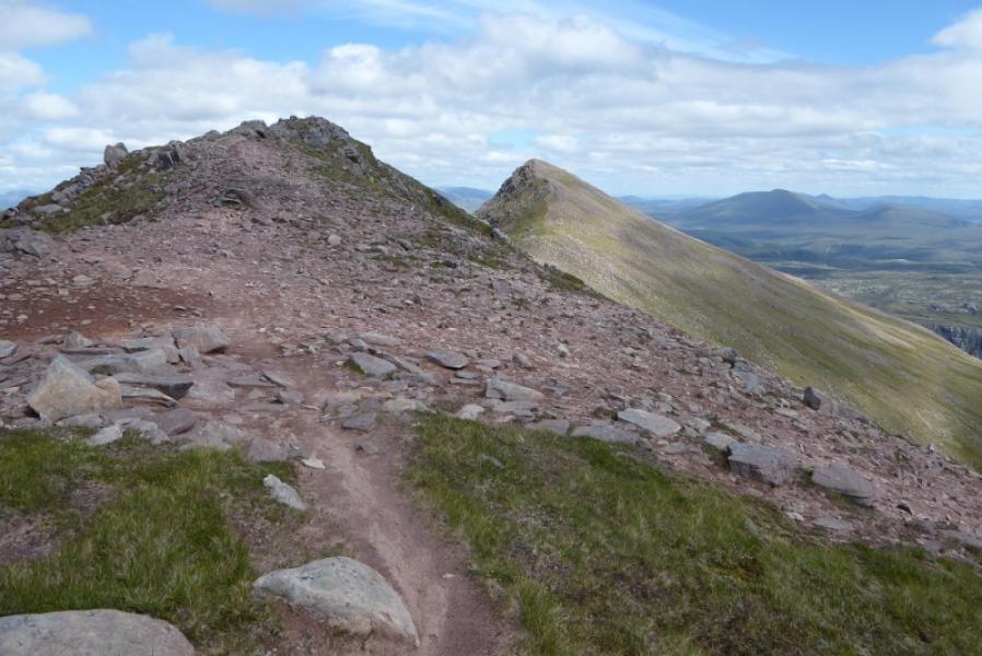
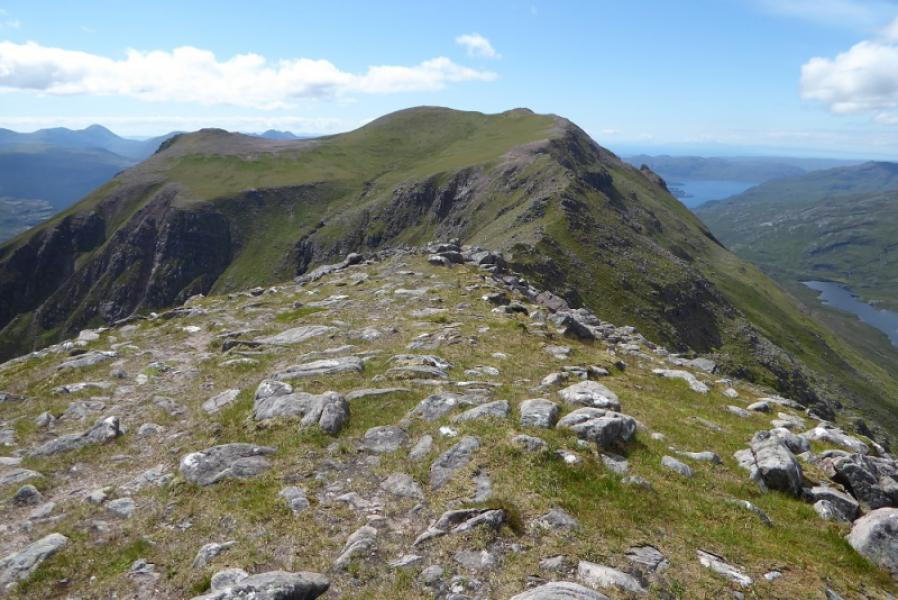
(2) Descend roughly E and follow the well defined ridge, crossing an intermediate top before ascending the narrowing, but easy, ridge to the medium cairn which is the summit of Sgurr an Tuill Bhain, 934 m.
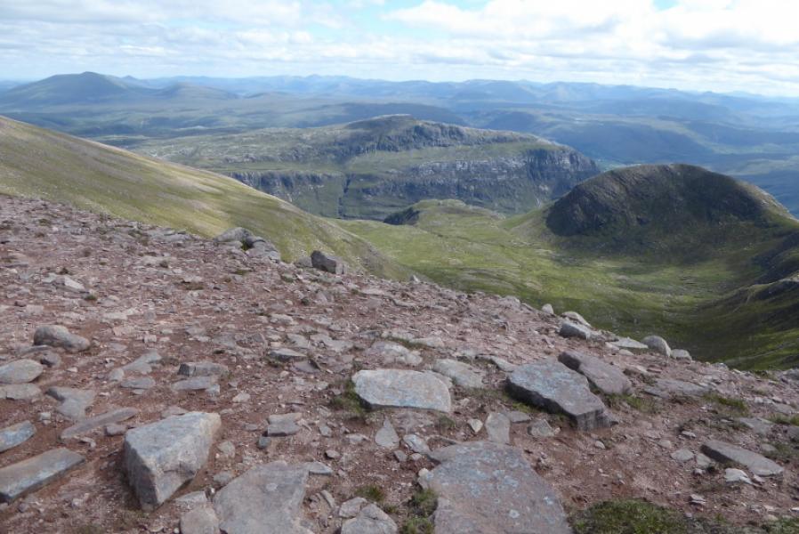
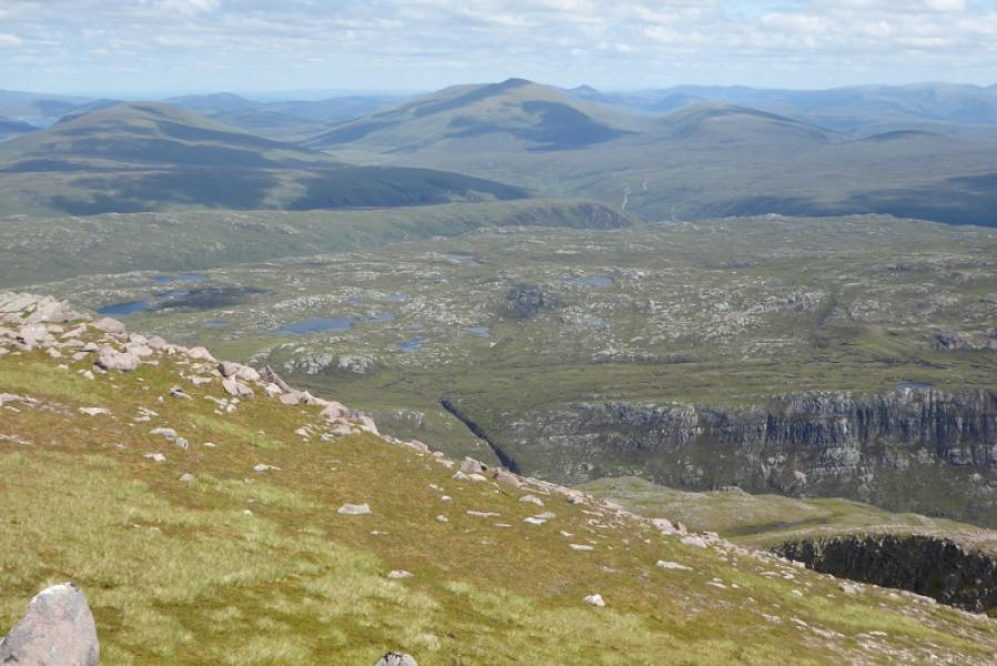
(3) Descend almost due S with any path found quite difficult to follow. The route crosses many easy gravel terraces but steepens lower down where some will find the going rough and unpleasant. Cross the floor of the corrie to reach the gap between Sgurr Dubh and Meall Each then retrace the outward route which is a lot more uncomfortable in descent than in ascent.
Notes
(a) This walk took place on 12th July,, 2017, and about 15 and 25 years earlier.
Photos - Hover over photo for caption. Click on to enlarge. Click on again to reduce.