Get Lost Mountaineering
You are here: Scotland » 14 Loch Maree to Loch Broom and Garve » Letterewe & Fisherfield to Little Loch Broom
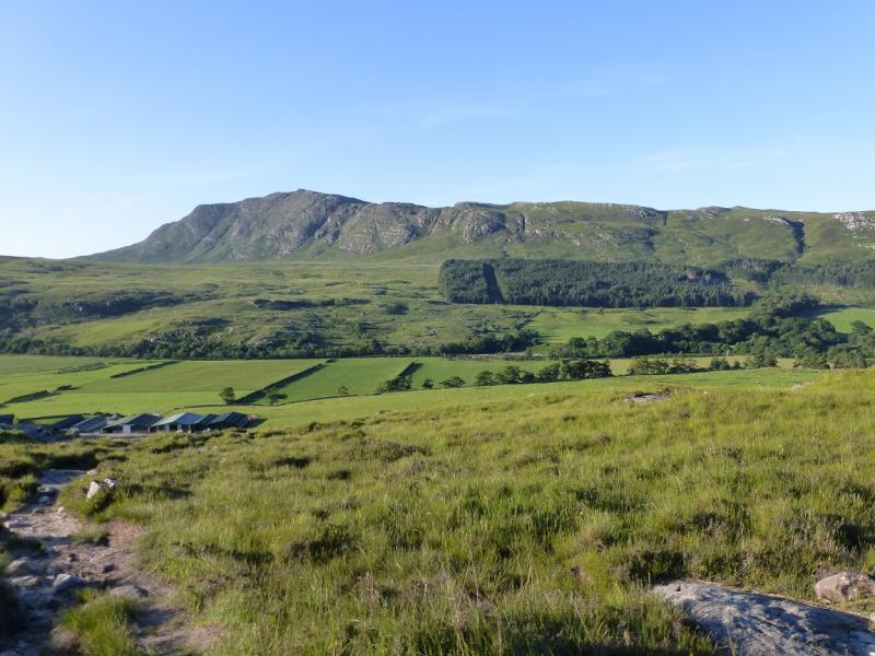
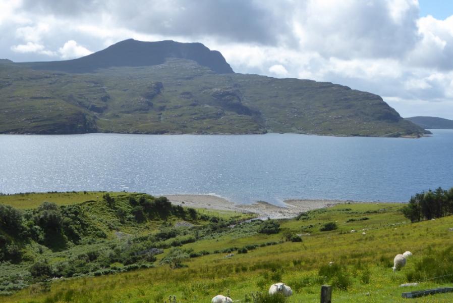
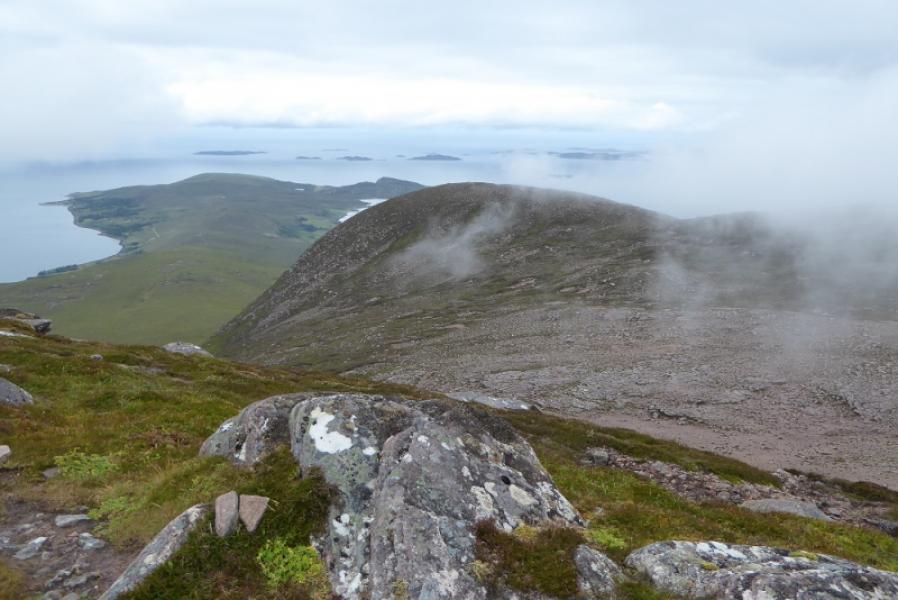
Beinn Ghobhlach from Badrallach
Beinn Ghobhlach from Badrallach
Start/Finish
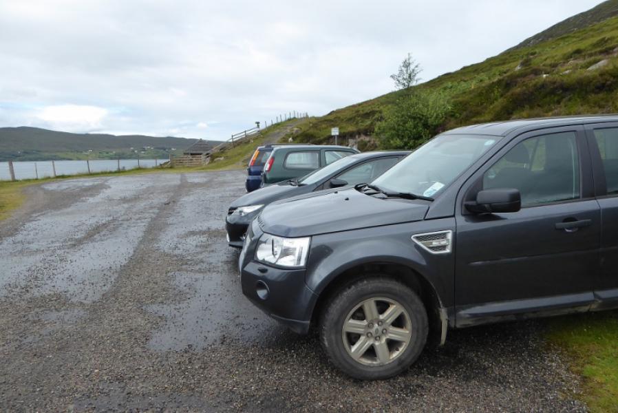
End of the public road at Badrallach where there is limited parking. This is a very minor road, with passing places, which goes over a 236 m pass. It starts about 0.3 miles north of Corrie Hallieon the A832 road around the Gairloch Peninsula. Coming from the Gairloch direction, it is about 2 miles past the Dundonnell hotel. The road is about 7 miles long and may not be passable in winter conditions.
Distance/Time
9 km. About 6 hours.
Peaks
Beinn Ghoblach, 635 m, NH 055 943. OS sheet 19: Gairloch & Ullapool.
Introduction
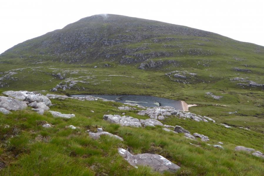
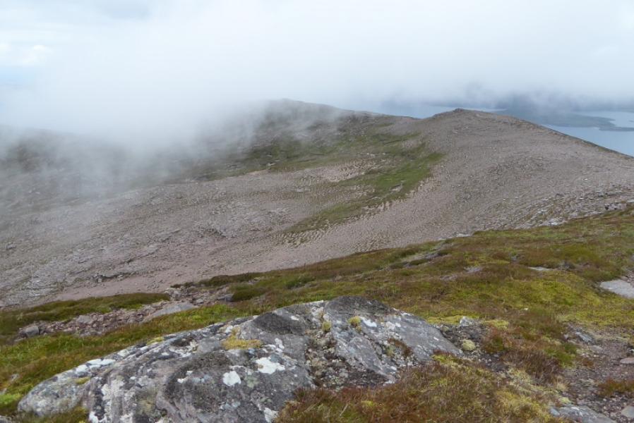
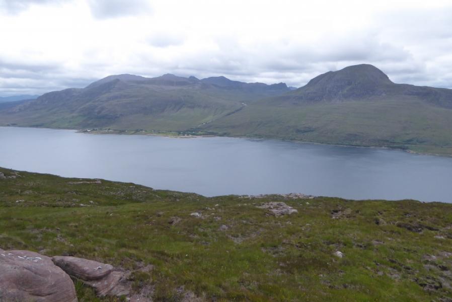
Beinn Ghobhlach is a very attractive hill when seen either from near Dundonnell (or the hills above) and from just north of Ullapool. It sits between Loch Broom and Little Loch Broom. Unfortunately, it is not an easy or pleasant ascent especially in poor weather when there will be no views from the summit. There seem to be no paths on the mountain and the ground is quite wet and boggy in places not to mention very steep.
Route
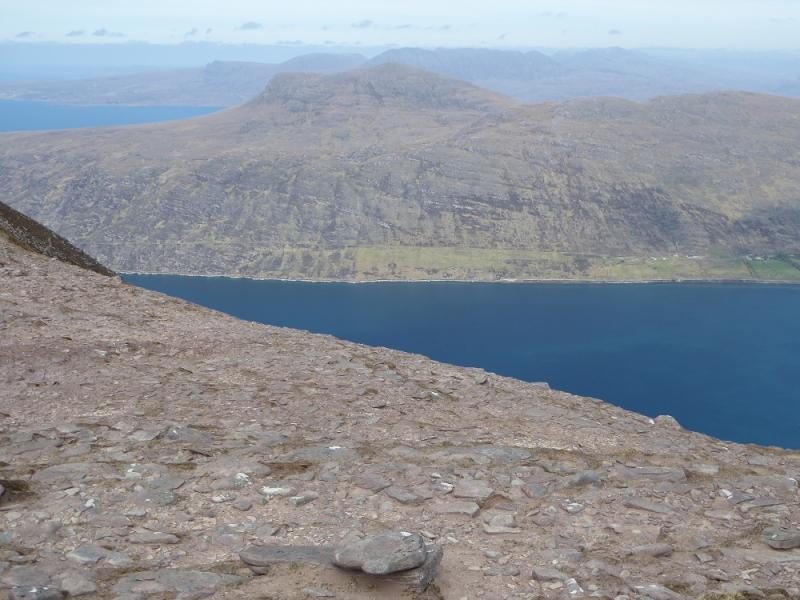
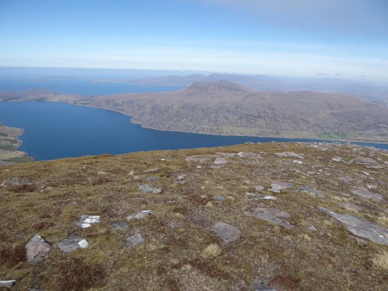
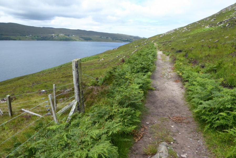
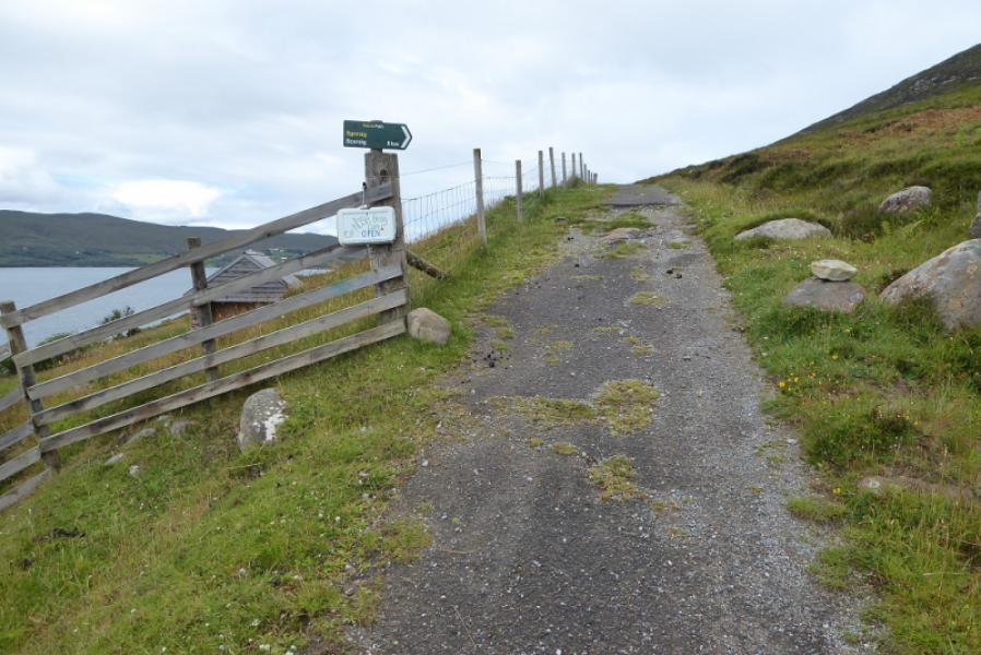
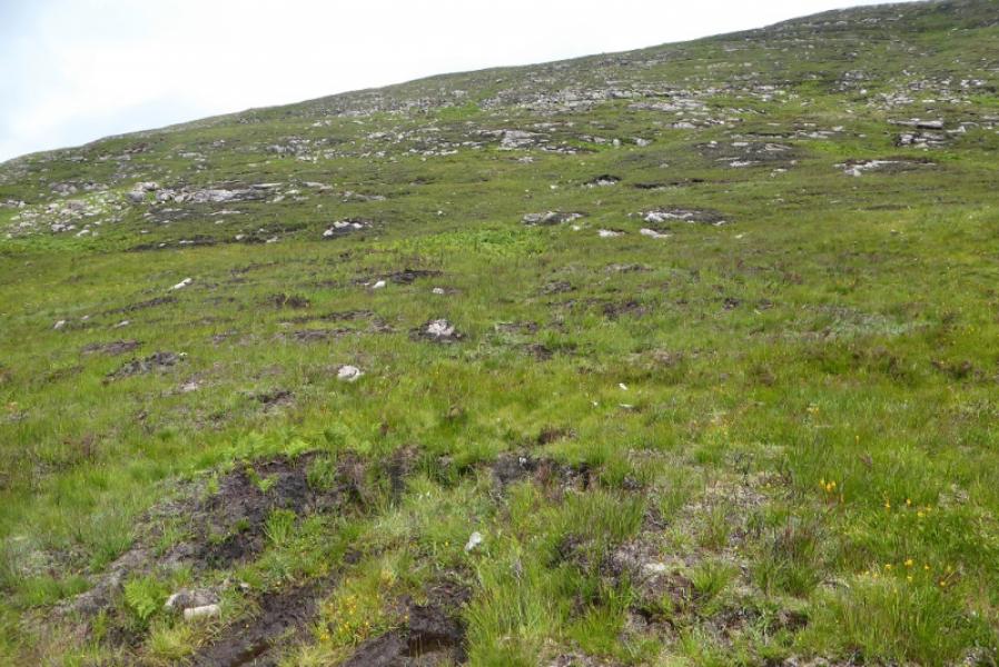
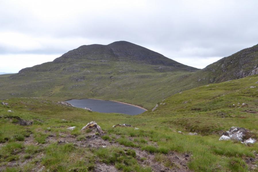
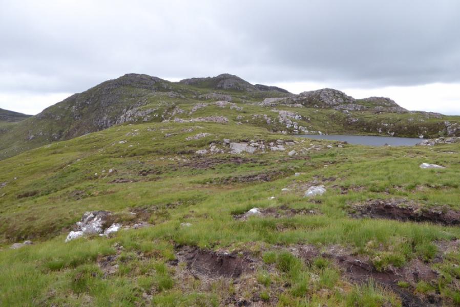
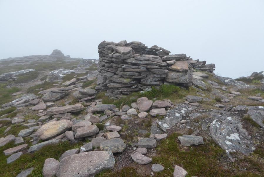
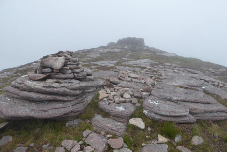
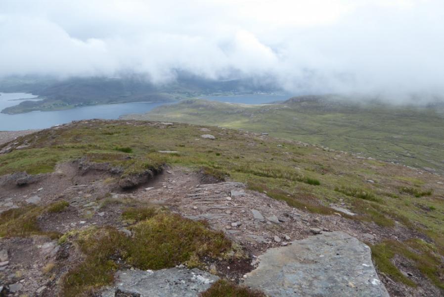
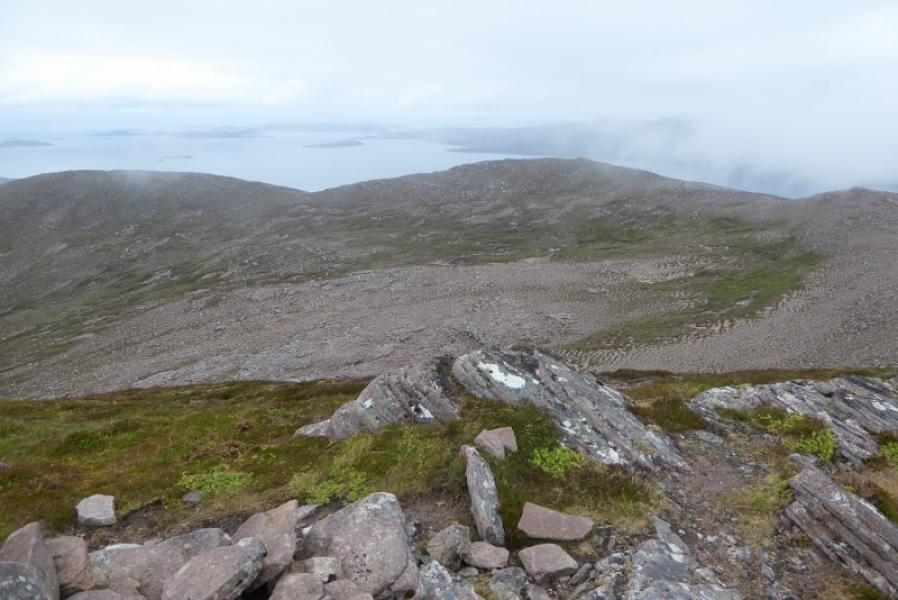
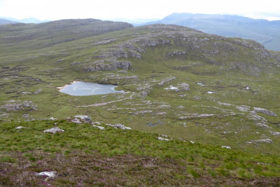
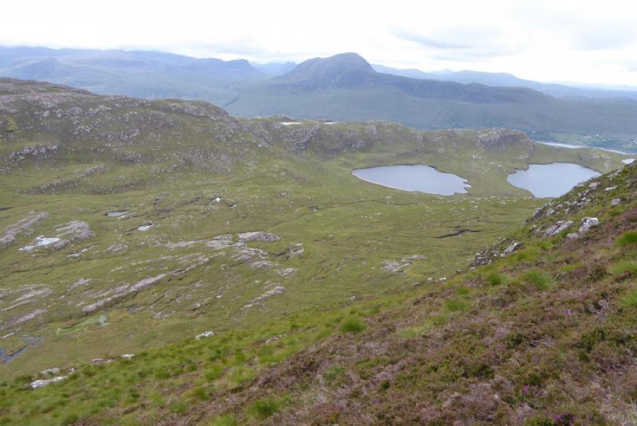
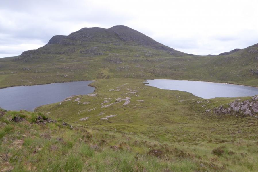
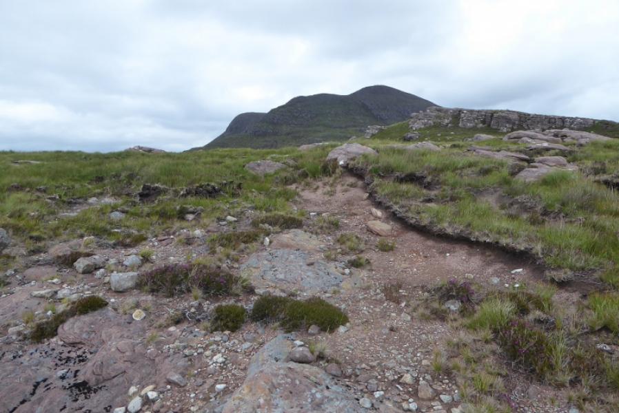
(1) From the turning circle, follow the coastal path towards Scoraig. Note the fence on your left. This turns to the sea after about a km and it is usual to start the ascent proper from here. The ascent is very steep and rough with crags in places but it is possible to carefully pick a way to the crest somewhere to the E of Pt 336. Locate the lochan E of Pt 336 then the one NE of the first lochan. Continue in the same direction up an ill-defined ridge keeping above the crags to the left. Continue over the highest point of the ridge then descend in roughly the same direction before heading for the E side of Loch a' Bhealaich. Head roughly N, avoiding as much of the peat hags and boggy ground as you can, until you pass the crags and are on the E side of the mountain where the slopes are not so steep. Pick a way up these slopes which steepen slightly with height. Reach the crest and turn left, S, and follow the edge to the shelter cairn. A little further, a medium cairn marks the summit of Beinn Ghoblach, 635 m.
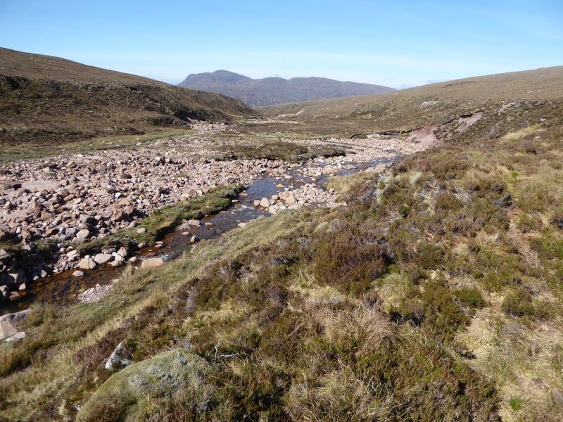
(2) Retrace down the E flank then go S to Loch a' Bhealaich. Follow its outflow down to Loch na Coireig then pass between it and Loch na h-Uidhe. Ascend to the crest ahead, reaching it E of Pt 336 then descend back down down to the coastal path.
Notes
(a) This walk took place on 14th July, 2017, and about 15 years earlier.
(b) It would be shorter and quicker to ascend Beinn Ghobhlach by the descent route but there are good views of it from the ill-defined ridge route given above.
Photos - Hover over photo for caption. Click on to enlarge. Click on again to reduce.