Get Lost Mountaineering
You are here: Scotland » 15 Loch Broom to Easter Ross » West Of Strathcarron & Loch Vaich to Ullapool
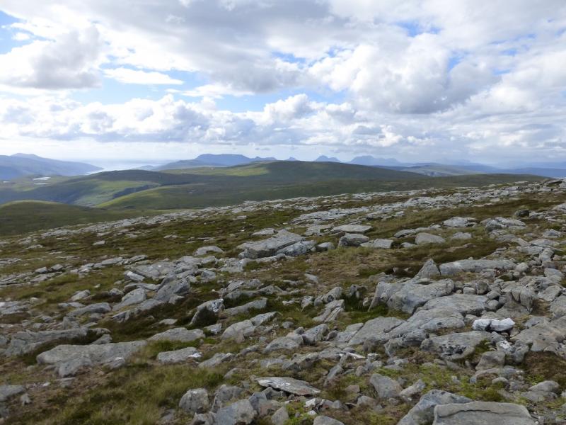
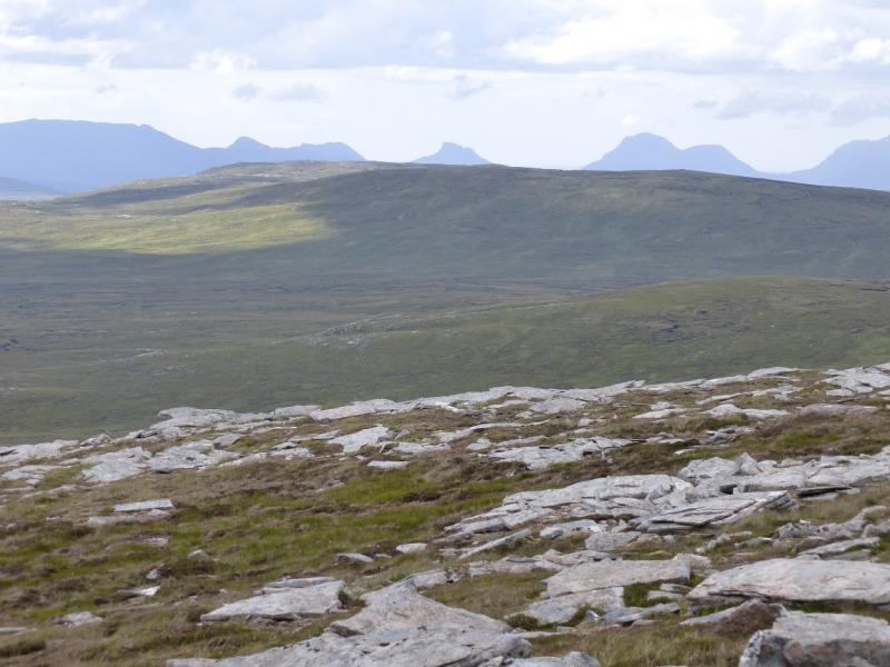
Beinn Bhreac (Meall Dubh) from Inverlael
Beinn Bhreac (Meall Dubh) from Inverlael
Start/Finish
Car park, at Inverlael, about NH 181 852, on A835 Ullapool Road. The car park is well signed and is close to a white house and old red telephone box.
Distance/Time
14 km walk of which up to about 10 km can be cycled. About 5 – 6 hours.
Peaks
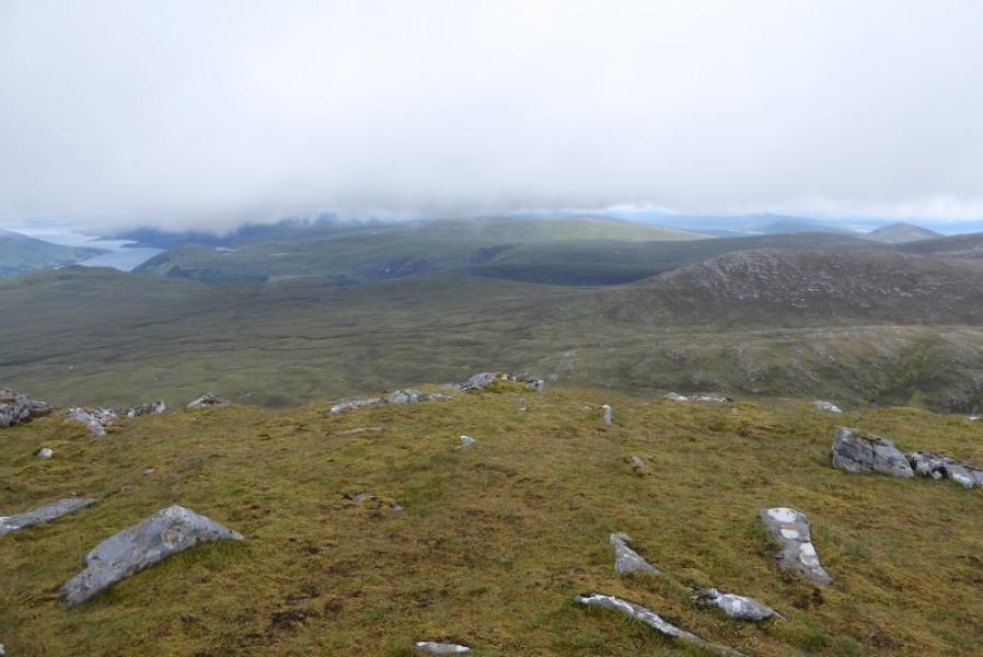
Beinn Bhreac (Meall Dubh), 667 m, NH 225 886. OS map 20: Beinn Dearg.
Introduction
This is a relatively straightforward walk with a track/path to within 2 km of the summit. A bicycle can be used but note that the cycling route is different from the walking route. Details are in the notes below. Beinn Bhreac is a new name for what used to be called Meall Dubh as that was the nearest named point to the summit but the top named on the map as Meall Dubh is about 2.5 km away to the north west. On a clear day, Beinn Bhreac should give good views to Seanna Bhraigh (almost due east) and the Beinn Dearg range (roughly south south east) with An Teallach being visible to the west.
Route
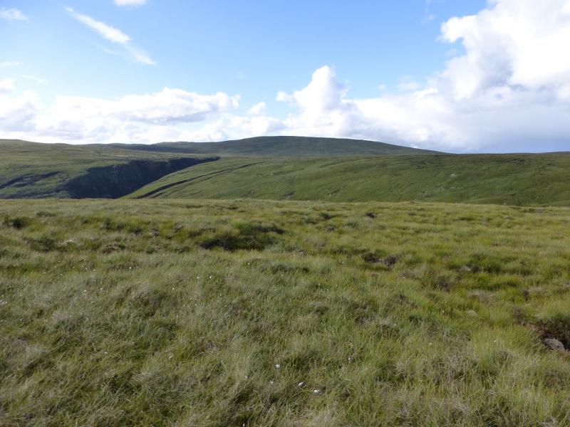
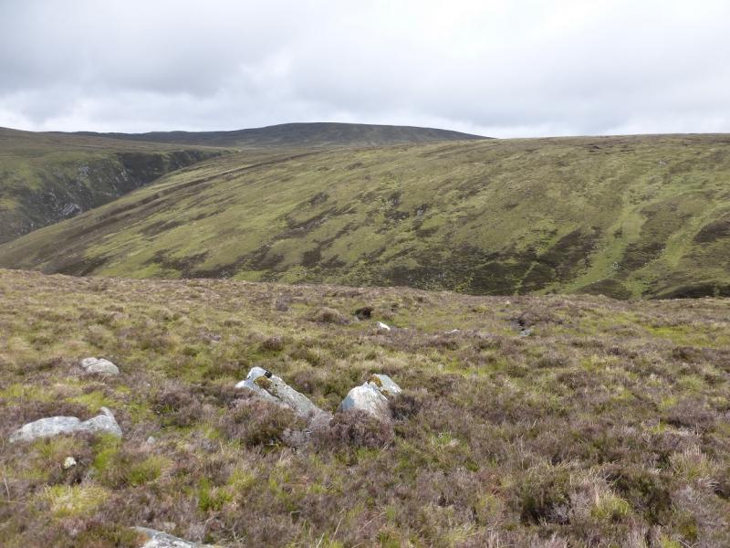
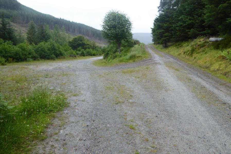
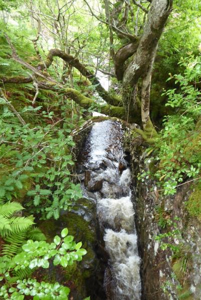
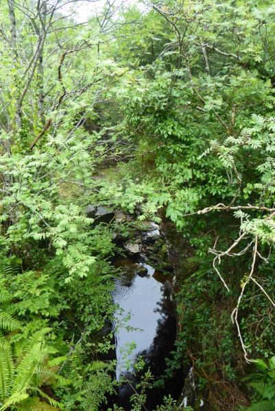
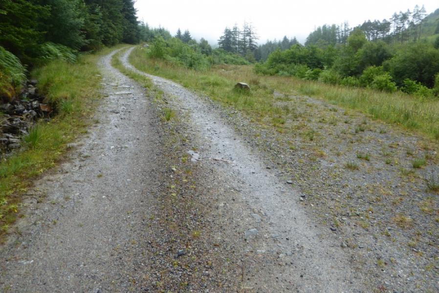
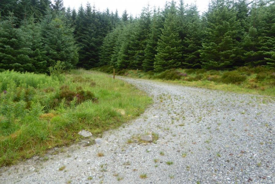
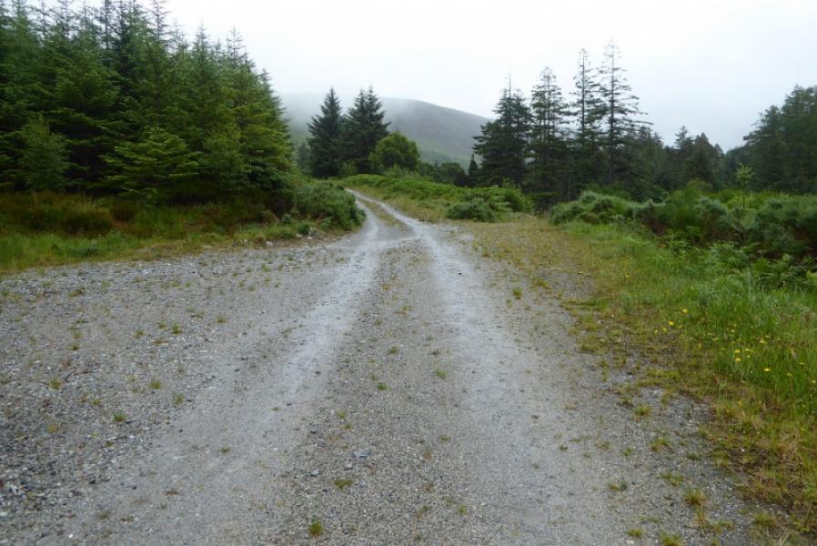
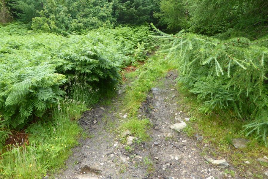
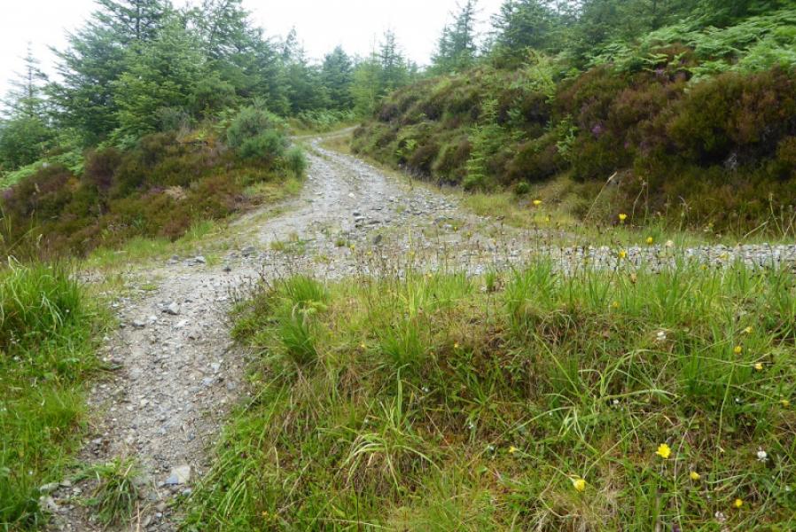
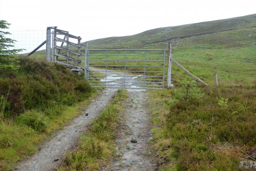
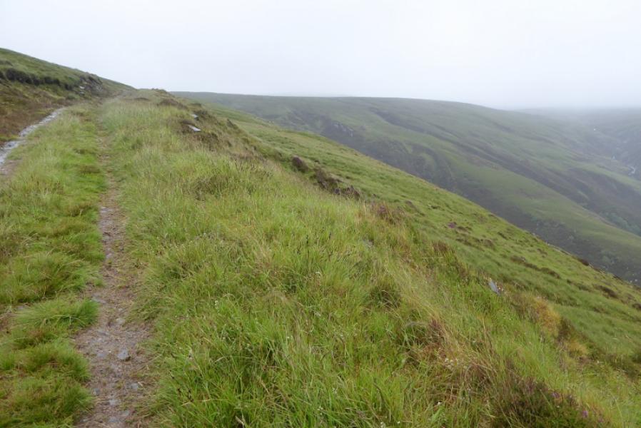
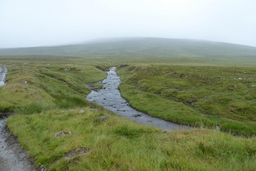
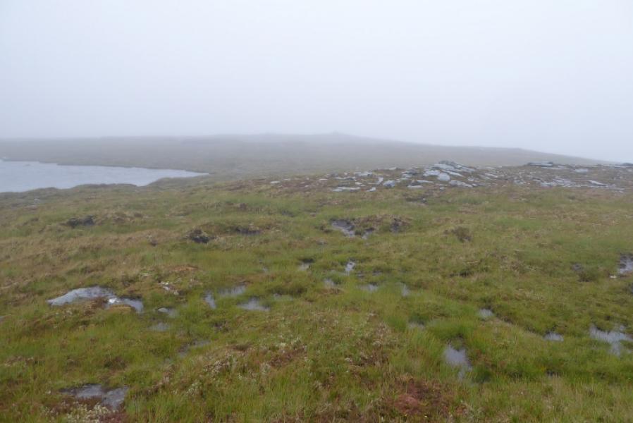
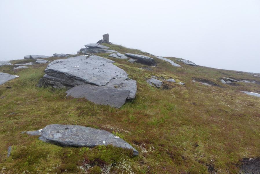
(1) From the car park, take the track going E just before the house. Follow this track to a gate into the forest then soon after fork left on a track to the river where a bridge crosses two deep and narrow gorges. Once across, turn right and follow the track E, above the river. Follow the track, ignoring any left and right forks until the track starts to swing NE away from the river. Pass a rough gravel area on the left and right before a track goes off left almost retracing the route so far but slightly higher up the hillside. If you have found the right track then there will be an immediate right turn on to a rougher, more overgrown track, going uphill. This rougher track is not seen from the main track as it is hidden by trees. Follow the rougher track uphill; it is moderately steep and overgrown in places but very easy to follow. It is only about 500 m long and meets a major track. Cross over this and take the track opposite which will take you to the foot of the hill as shown on the map. This track climbs steeply in places. Higher up it goes along the edge of a deep gully (on the right) then starts to level out with a few boggy patches. Reach a stream and cross over; this is usually only a problem after heavy rain. Once across, one can walk up gradual slopes heading just E of N. There appears to be no path but there is a boggy ATV track over to the left, W, which might help lower down. There is quite a large summit plateau with a sizeable lochan in the middle. About 200 m NE of the lochan a small mound with an outcrop and small cairn marks the summit of Beinn Bhreac (Meall Dubh), 667 m.
(2) Retrace the outward route.
Notes
(a) This walk took place on 15th July, 2017, and about 15 years earlier using the bicycle route.
(b) If using a bicycle, cross the river and gorges but then turn left. At the next junction, turn right, E, then at the next junction, take a reverse left fork, NW, at the next junction take a reverse right fork, SE then E, which puts you on the track above the rough overgrown track walkers would use. Follow this track almost to its end then take the left turn where the rough overgrown track would be a right turn. Follow this track up to the stream crossing.
(c) If you don't mind the driving, Dingwall Camping and Caravanning Club site is well placed for access to Glen Affric, Loch Mullardoch, Glen Strathfarrar, Strathconon, Ben Wyvis, Achnasheen, Kinlochewe. Fannaichs, Loch Glascarnoch, Beinn Dearg range and lower hills on the coast. The site is virtually midge free. It pays to be a member otherwise there are surcharges. There is an over 50's discount outside of the High Season. Electrical hook ups are possible for campers. Dingwall has a 24 hour Tesco. The start is about 40 miles from Dingwall. Ullapool is a nearer base but less midge free for summer camping.
Photos - Hover over photo for caption. Click on to enlarge. Click on again to reduce.