Get Lost Mountaineering
You are here: Ireland » South West » Iveragh Peninsula
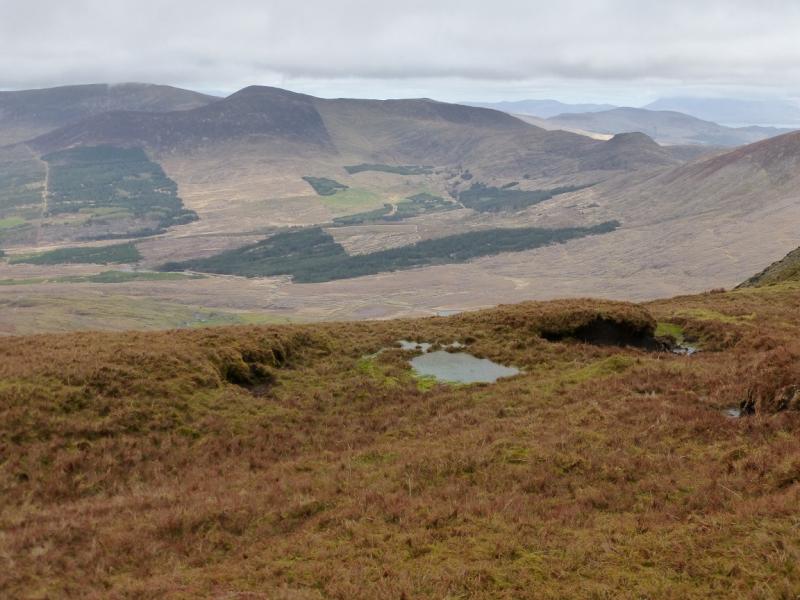
Colly from Ballaghisheen Pass
Colly from Ballaghisheen Pass
Start/Finish
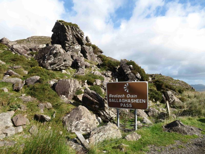
Top of Ballaghisheen Pass where there is parking on both sides of the road. The pass is reached from Killarney by taking the left turning a few hundred metres past the Fossa Camping & Caravan Site on the N72 road to Killorglin. This is signed for the Gap of Dunloe, Kate Kearney's Cottage, etc. Follow the winding road past the turnings for Gap of Dunloe & Carrauntoohil. Keep going to eventually join the Killorglin to Lough Acoose road. Continue past the Lough then past the Glencar Inn and Post Office to eventually reach the pass which has a large sign at its top. The path shown on the map which crosses the route is actually a faint track and may not be noticed.
Distance/Time
7 km About 4 hours
Peaks
Colly , 679 m, V 650 808 (Irish National Grid System)
Colly East, 604 m, V 660 810.
Knocknagapple, 466, 458 & 453 m, V 670 798, V 667 801 & V 665 803.
Irish OS Discovery Series Map 78 (1:50000)
Introduction
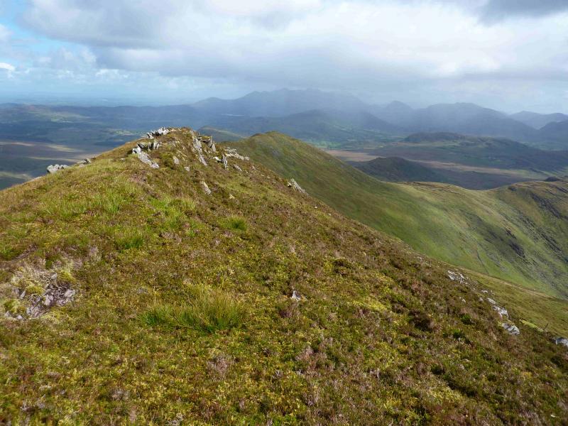
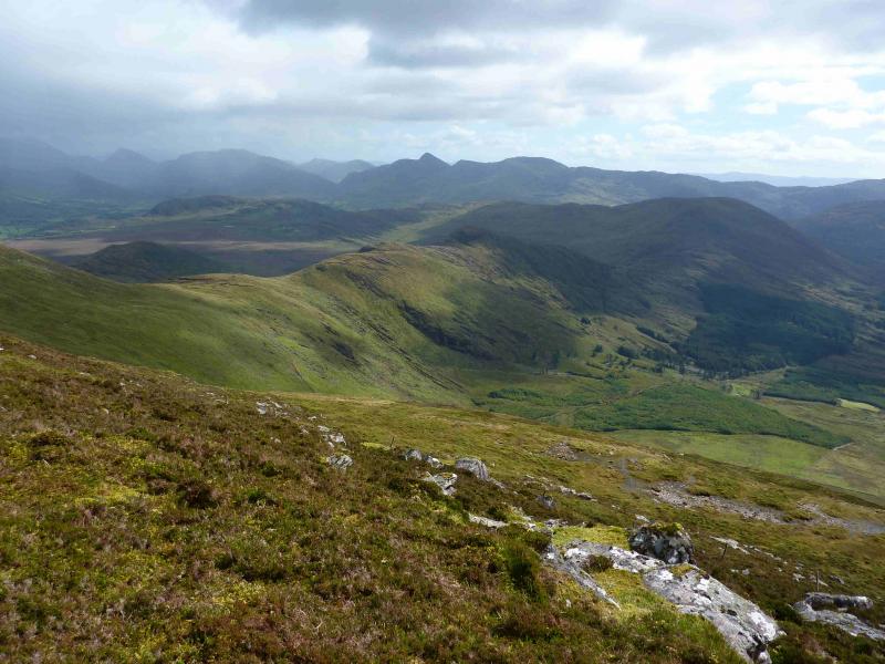
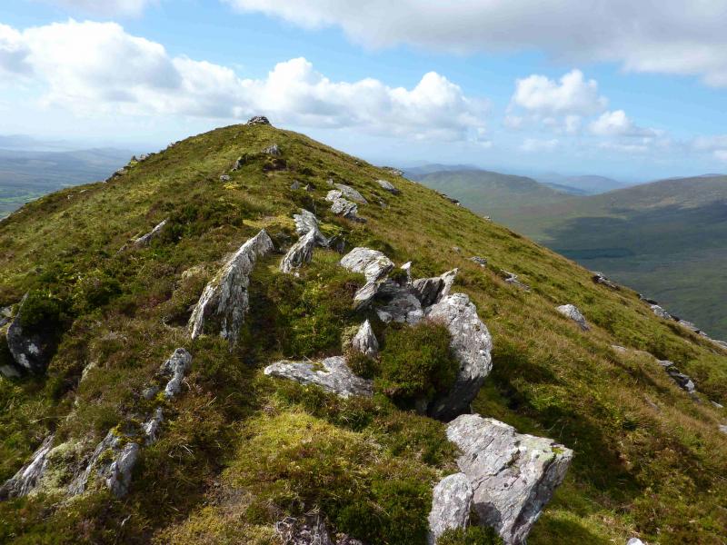
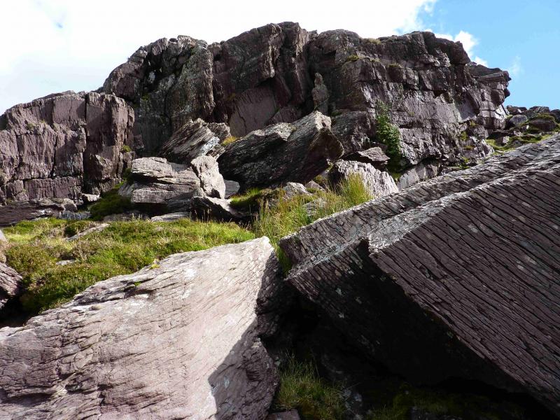
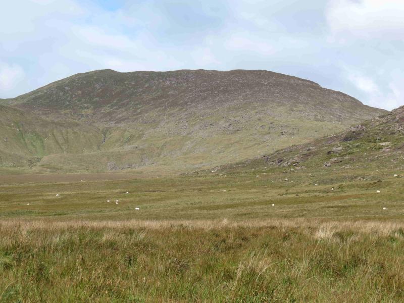
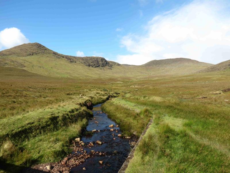
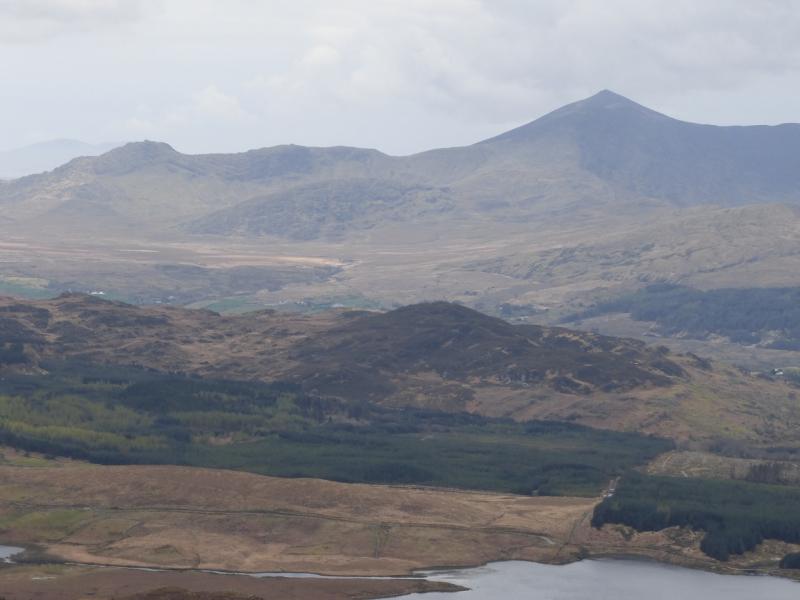
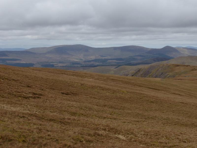
This is a very pleasant walk on mainly grassy and rocky terrain which offers excellent views especially to Macgillycuddy's Reeks, Broaghnabinnia, Mulaghanattin and Coomacarrea ranges. Much if the rock is in the form of rocky ribs and slabs which are pleasant to walk on when dry. It is easy to avoid all the rock if wished. Unfortunately, there are some boggy peat hags along the crest of Knocknagapple. These can be avoided on either side. The map shows William Scott's Well at V 664 808 which may be worth a visit although it was not visited on the route described so no further information can be provided.
Route
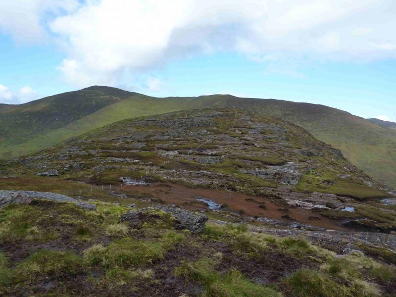
(1) From the pass, walk up the side of the fence which heads roughly N. Pick a way up grassy ramps or rocky ribs to reach the small cairn which marks the summit of Knocknagapple, 466 m.
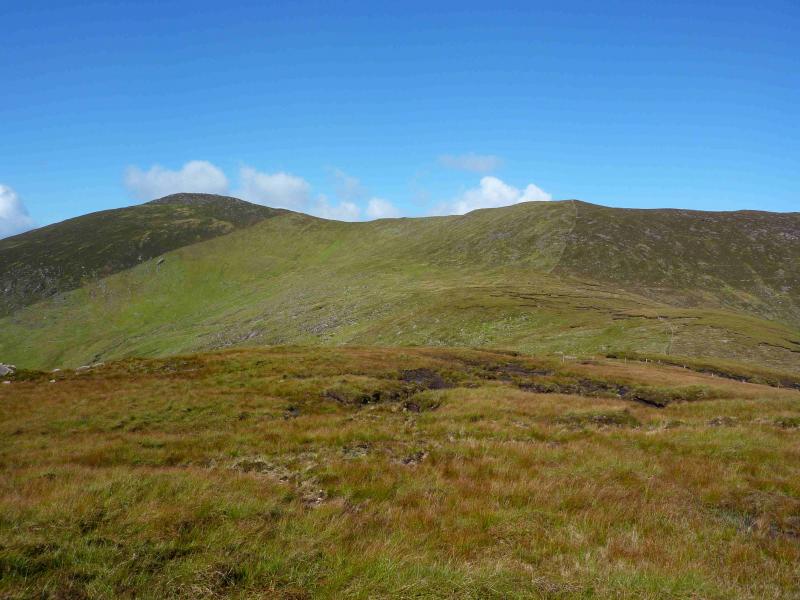
(2) Continue along the undulating crest, with boggy peat hags in the dips, passing the other two tops. One of the descents, if taken direct, would go over a broken cliff so be aware of this and detour left or right. The fence gives a good line but it passes through poor ground so can only be used as a guide along the crest. Eventually, reach the boggy, peaty area at the foot of Colly East. Once the col is left, the ground improves significantly and the fence can be followed to the top where the fence turns E. There is no cairn and the highest point is not obvious on the ground but this is Colly East, 604 m.
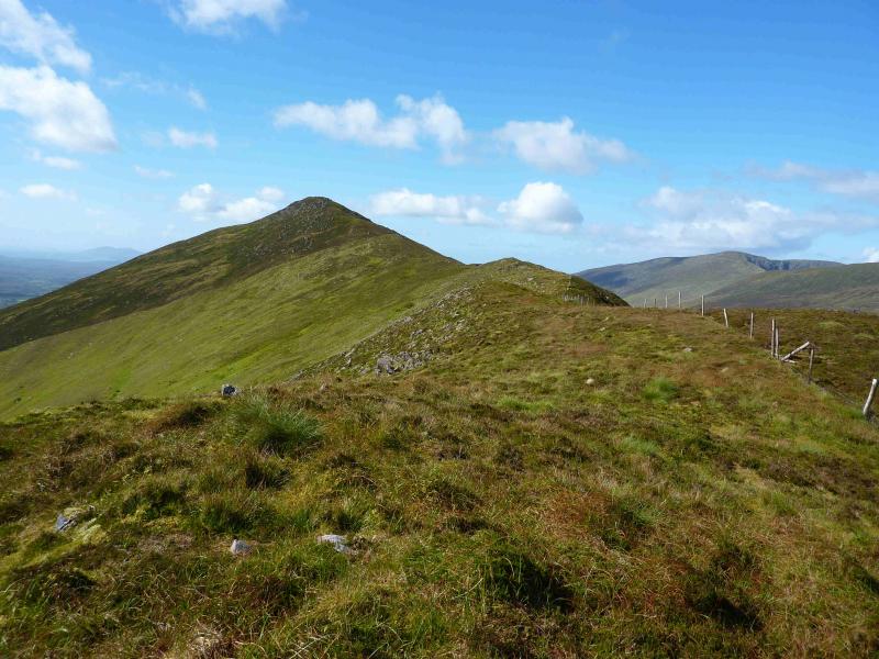
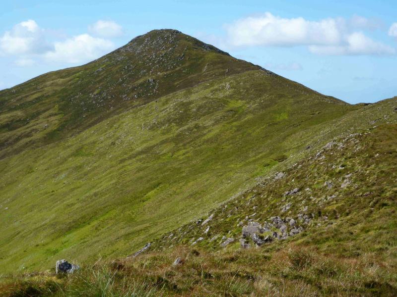
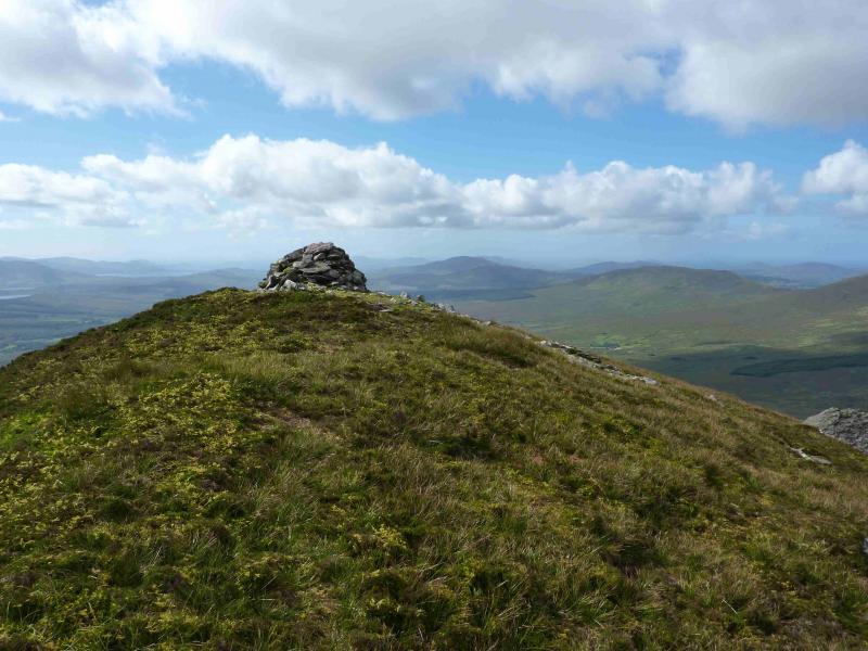
(3) Continue E, with virtually no descent, still following the fence which soon becomes old fence posts. The ridge is well defined, with no exposure, and very easy to ascend. Soon a medium cairn is reached which marks the summit of Colly, 679 m.
(4) Retrace the outward route. In clear weather, the boggy areas and the cliff are obvious and can easily be avoided.
Notes
(a) This walk took place on 18th September, 2012.
(b) The Fossa camp and caravan site, at V 910 923 is very good and very well situated for the Killarney mountains, especially Macgillycuddy's Reeks and Purple Mountain as it is only about 3 miles from Kate Kearney's Cottage. At Fossa, there are camping and caravanning facilities as well as a hostel and static trailer vans can also be hired. For campers, there are excellent showers (small extra charge) and there is a good campers’ kitchen with tables, sinks and cooking area if you have your own cooker and pans. Gas rings are available (small extra charge). There is also a TV room. Reception is open quite late in the high season and the staff are very helpful. A computer is available for hire and there is a freezer in reception. There is a bus stop outside the site for Killarney. There is a 24 hour Tesco which is off the northern bypass (turn right at 4th roundabout then right at next). Out of high season, it can be better for 2 people to rent a trailer van than to camp separately.
Photos - Hover over photo for caption. Click on to enlarge. Click on again to reduce.