Get Lost Mountaineering
You are here: Scotland » 13 Applecross, Coulin and Torridon » Achnasheen to Applecross
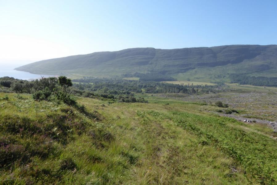
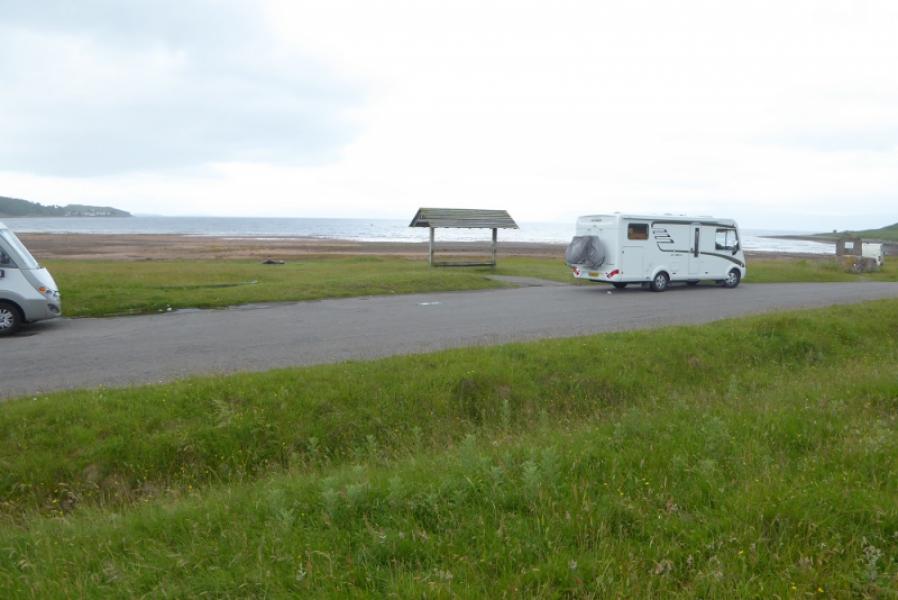
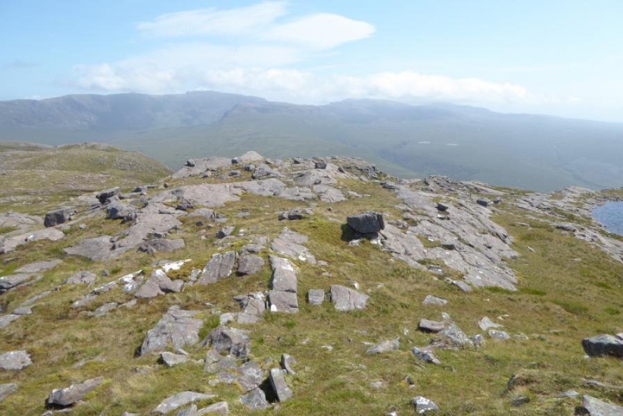
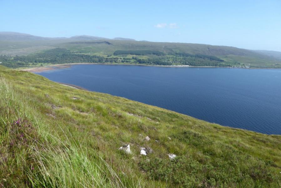
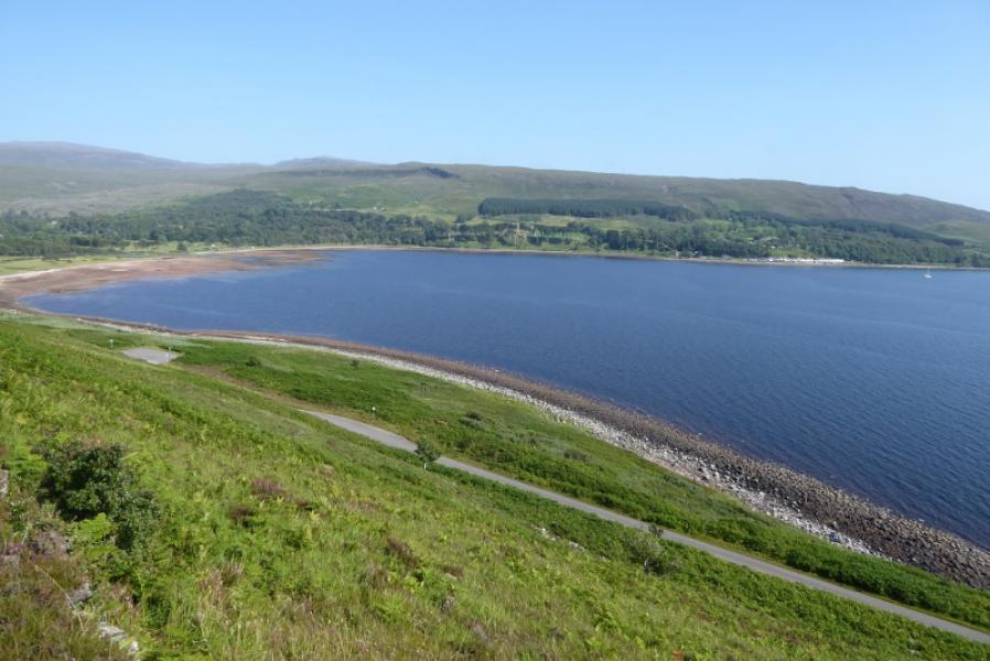
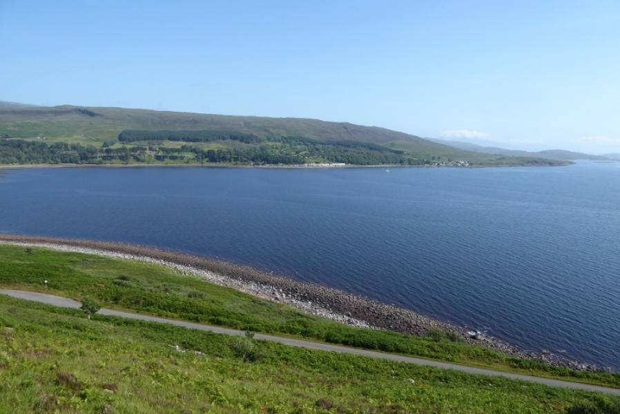
Beinn a' Chlachain from Applecross Beach Car Park
Beinn a' Chlachain from Applecross Beach Car Park
Start/Finish
Applecross Beach car park which is not far from the Heritage Centre, set back from the centre of the bay. Applecross is not easy to reach. You either go over a very high pass (Bealach na Ba) which is steep with hairpin bends and impassable under winter conditions or you drive around the coast from near Shieldaig on a much longer route. Both routes are single track roads with passing places and are becoming much busier as a result of the so called North Coast 500 which has been launched without any thought as to whether the roads and infra-structure can cope and they can't. There are now too many drivers, most of whom don't know how the passing place system works and won't pull over to allow following traffic to overtake. Incidents are already happening and will soon spiral out of control as a result of what is basically a money making scheme for hotels and other businesses.
Distance/Time
9 km. About 5 – 6 hours.
Peaks
Beinn a'Chlachain, 626 m, NG 724 490. OS sheet 24: Raasay, Applecross & Loch Torridon.
Introduction
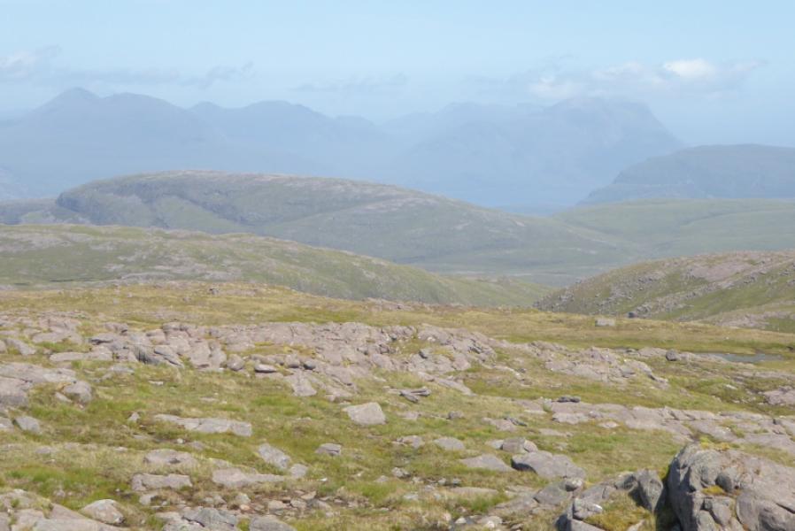
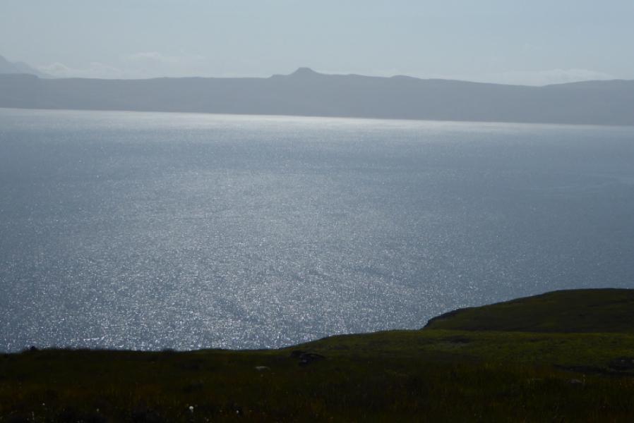
This is the highest hill north of Applecross before Loch Torridon. It is a fairly good view point but only the Corbetts above the Applecross Pass are close. There is a good view to Dun Caan on Raasay and to Skye, including the Cuillin but it is often too hazy for a good photo. The recent SMC booh “The Grahams and the Donalds” seems to understate the steepness of the ascent and overstate the steepness of the descent making one wonder about how thoroughly this hill was researched.
Route
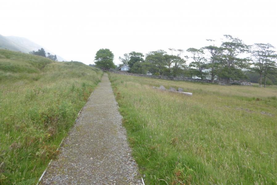
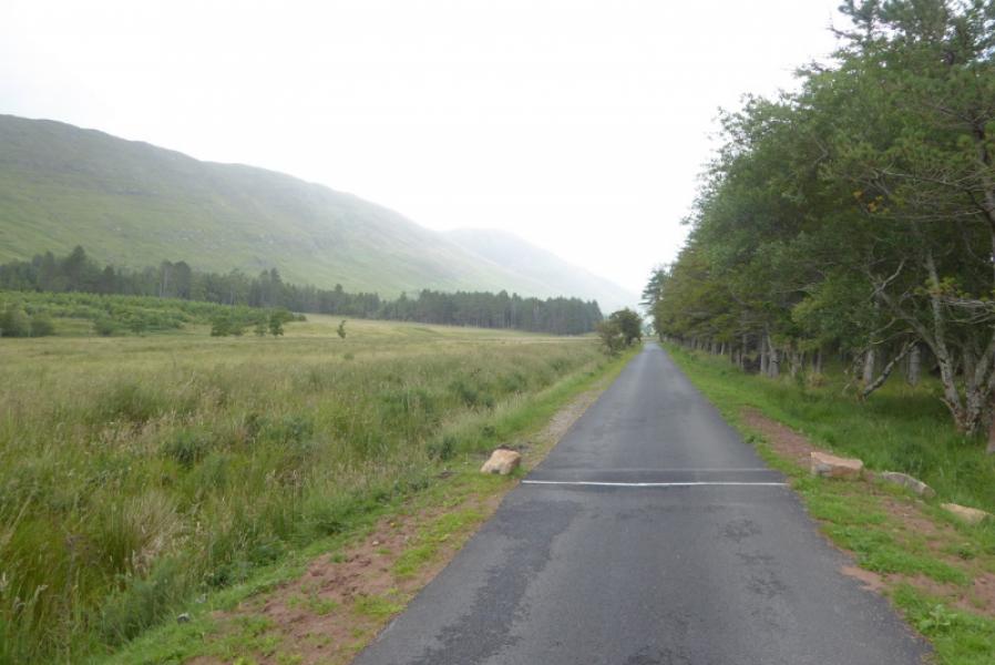
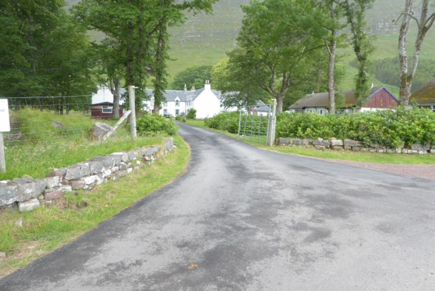
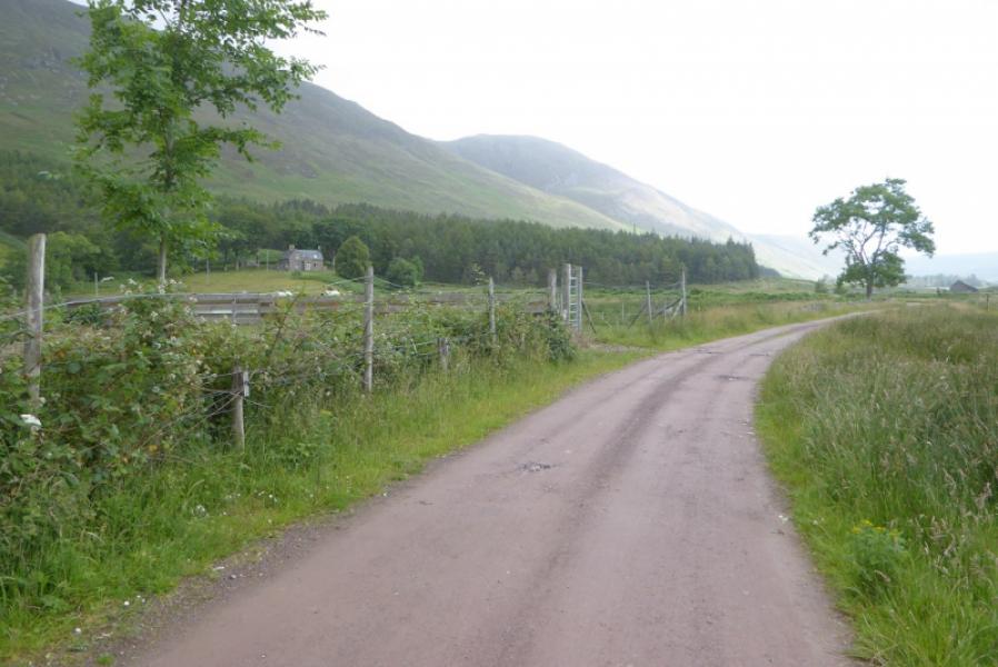
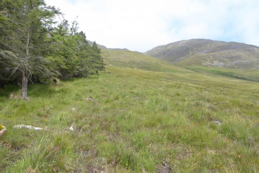
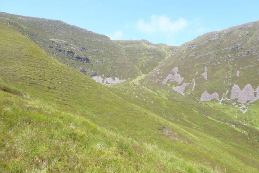
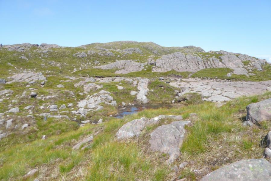
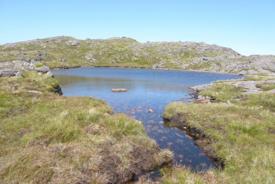
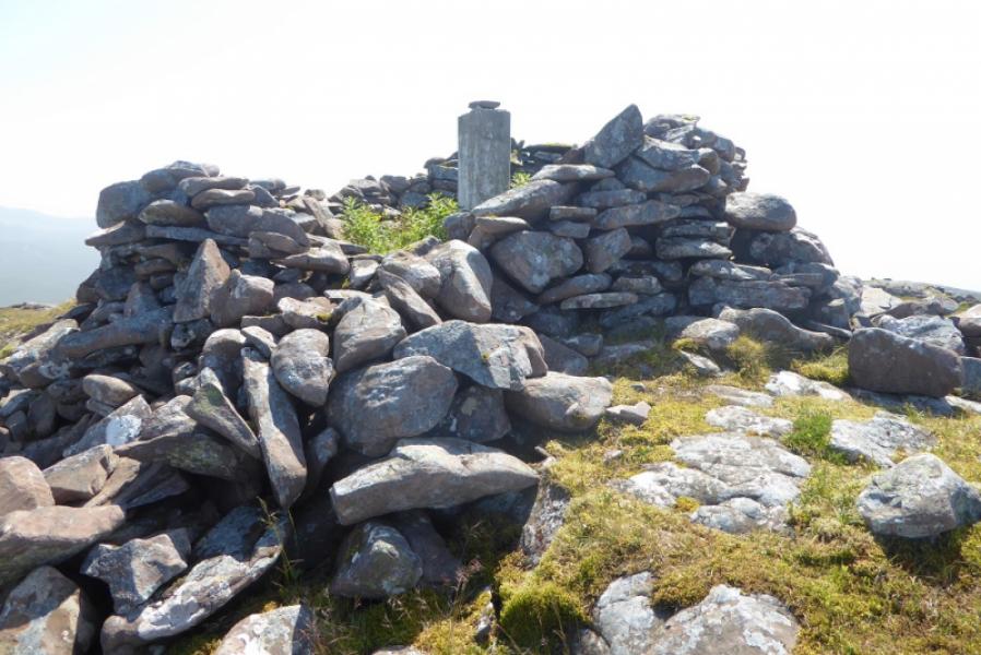
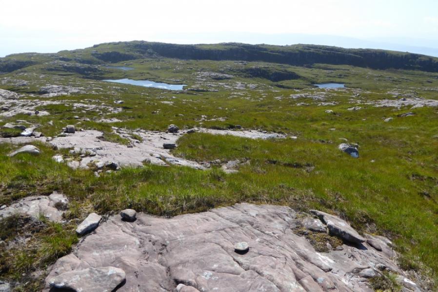
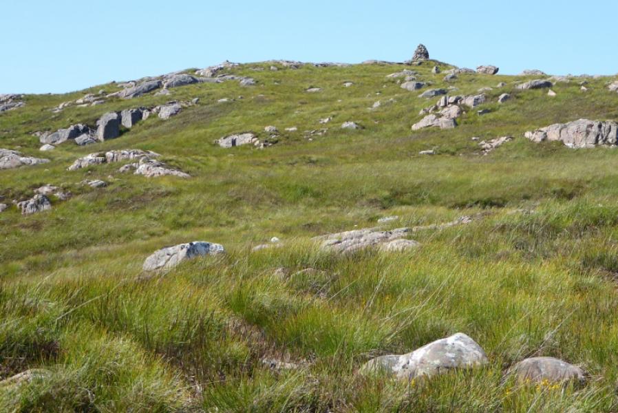
(1) Locate the minor road going NE up the glen from Applecross Bay which passes to the E of the chapel and then passes the entrance of the (now) affiliated SYHA Hostel which may be marked on your map as the Hartfield Adventure School. Soon after here, the road becomes a track. Walk to the end of the wood which starts after the hostel and leave the track. Walk up the side of the wood to its NE corner on a hint of a boggy path. Soon after the wood is left behind, all hints of a path disappear and one is left with a long and steep slog up a hillside covered with deep grass, heather, rocks and a few holes. It isn't pleasant! Coire Glas should be obvious on your right. The angle does not ease until about 530 m and the steep ascent started at about 60 m. Once on easier ground, follow the rim of the corrie N then continue N to a small lochan. Just beyond is a shelter cairn with a circular trig point inside which is the summit of Beinn a'Chlachain, 626 m. on17/7/17, the inside of the shelter cairn was overgrown with wild flowers.
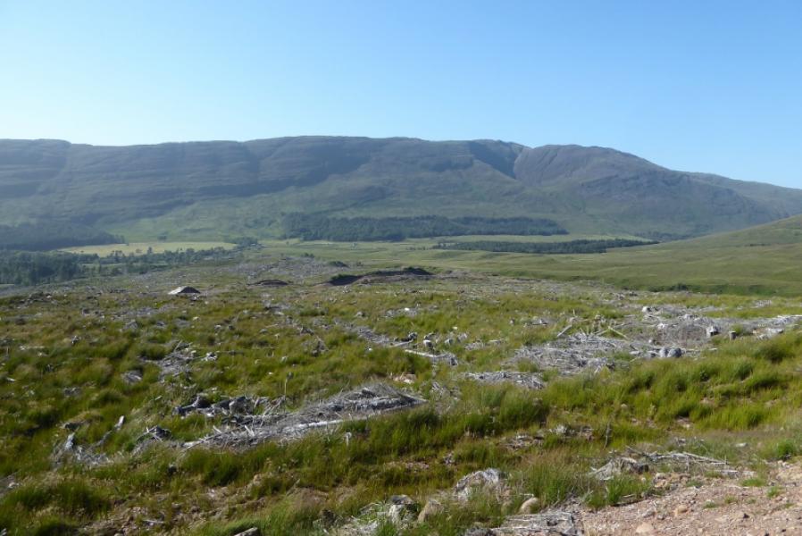
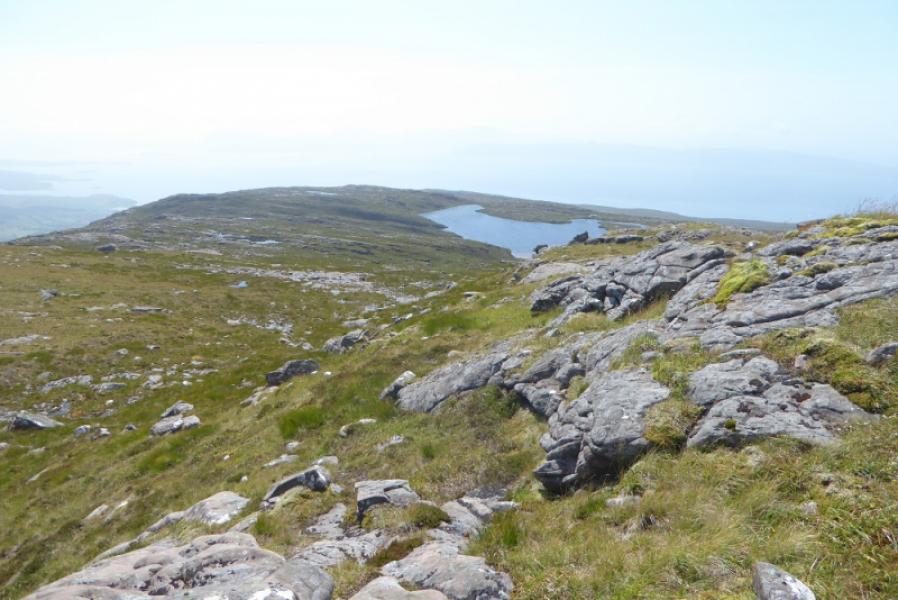
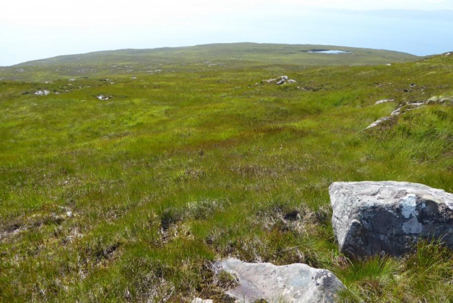
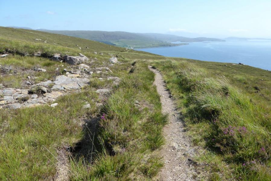
(2) Descend SW down the broad and undulating ridge on ground which is slightly rough. If it is clear, a cairn will be seen on what is the final top down the ridge. Pass to the left of this top along a very wide grassy ramp with little gradient. Continue ahead and soon intercept the very good coastal path which descends E to the Heritage Centre. It is possible to leave the lower path if your car is parked before the Heritage Centre.
Notes
(a) This walk took place on 17th July, 2017, and about 15 years earlier.
(b) The SYHA at Torridon is very well placed and a lovely place to stay. It is a modern purpose built building which is very well managed. It's only fault is that it is extremely popular so, if planning to stay there, book well in advance!
Photos - Hover over photo for caption. Click on to enlarge. Click on again to reduce.