Get Lost Mountaineering
You are here: Scotland » 13 Applecross, Coulin and Torridon » Achnasheen to Applecross
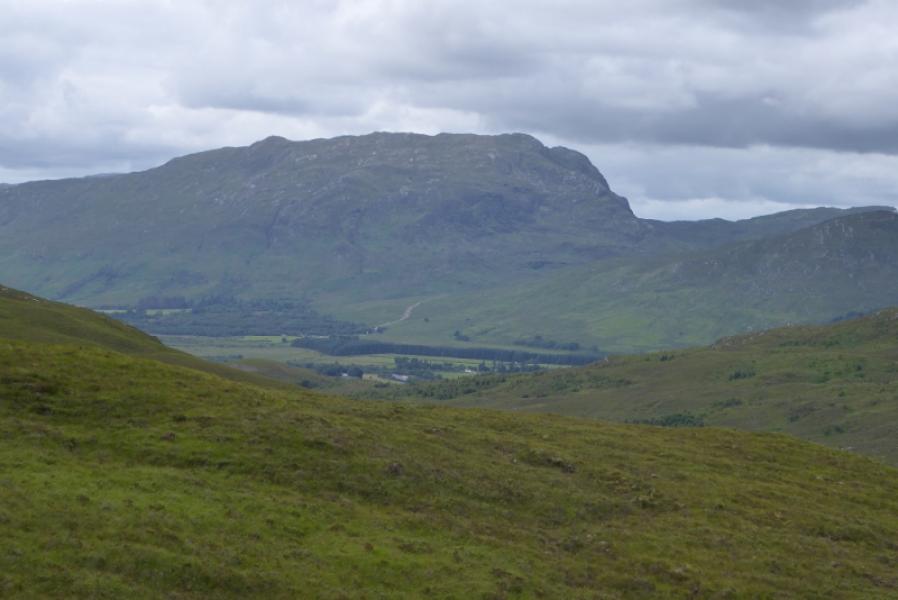
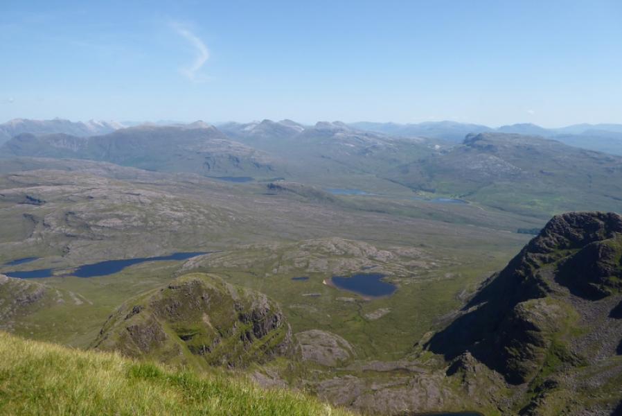
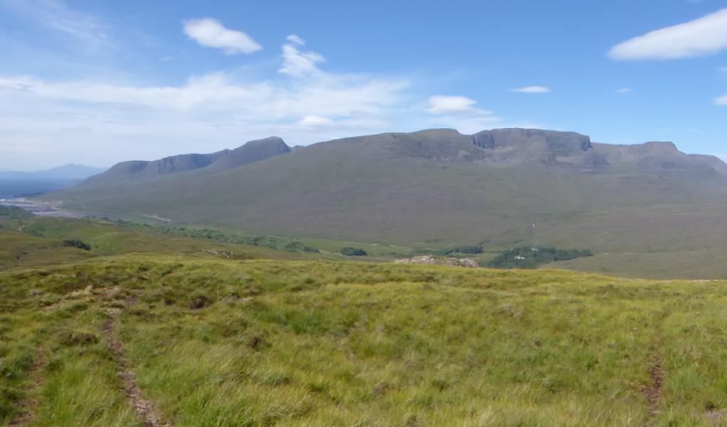
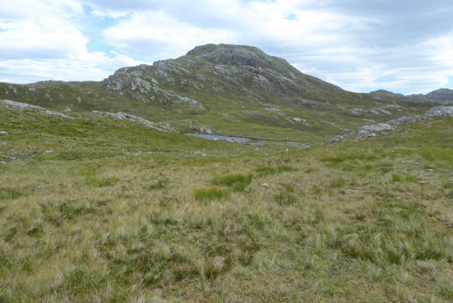
Sgurr a' Gharaidh from Loch an Loin
Sgurr a' Gharaidh from Loch an Loin
Start/Finish
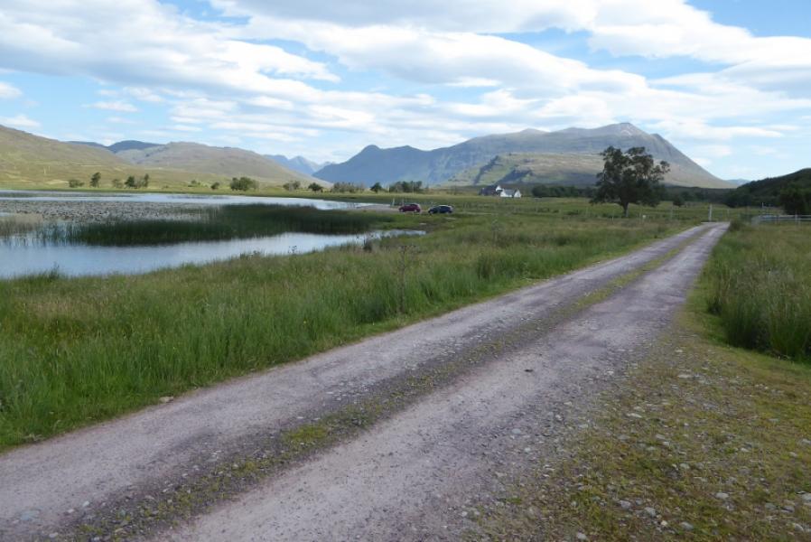
Loch an Loin which is off the Lochcarron to Shieldaig road about 2 miles north of the turning for the Applecross Pass and about 6 miles of Shieldaig which is a lovely picturesque village well worth a visit. There is a track off the A896 road which goes to the S end of the loch. There seems to be no objection to driving down this track to just past the first house and parking on a rough gravel area by the loch. Failing that, one would have to find somewhere sensible to park on the road.
Distance/Time
9 km. About 5 – 6 hours.
Peaks
Sgurr a'Gharaidh, 732 m, NG 884 443. OS sheet 24: Raasay, Applecross & Loch Torridon.
Introduction
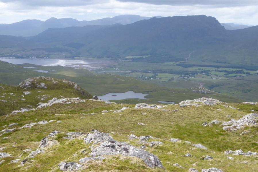
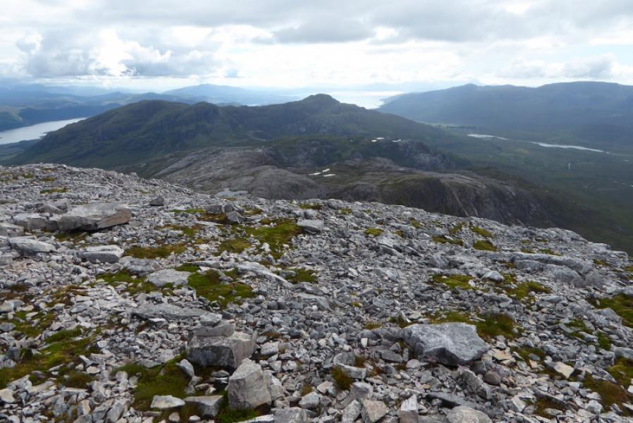
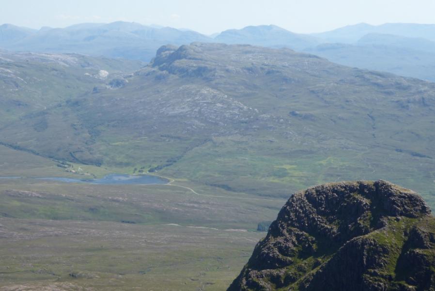
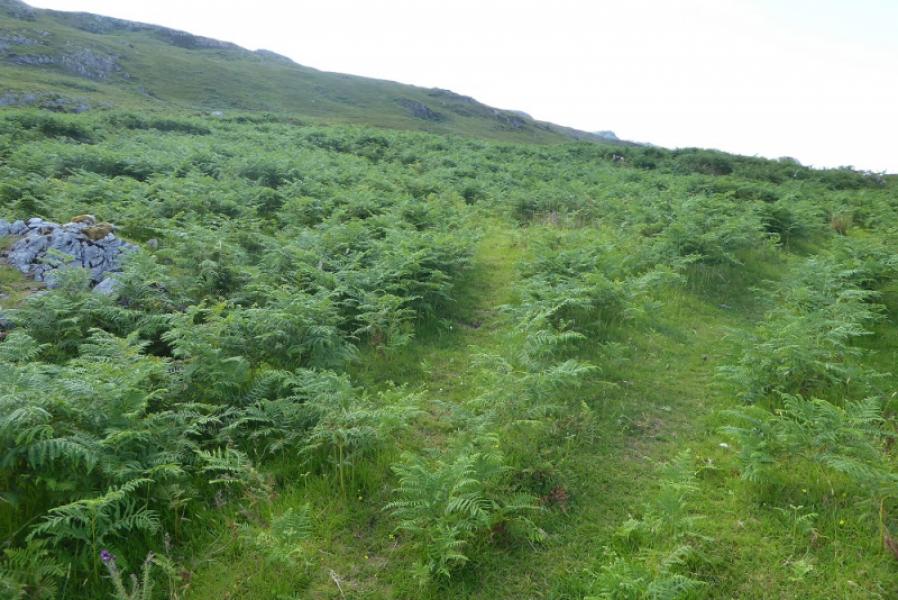
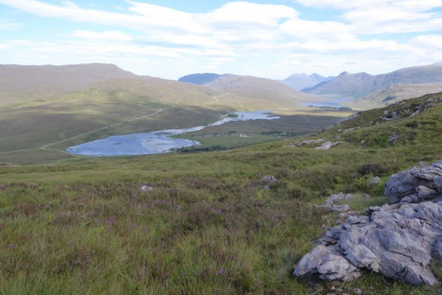
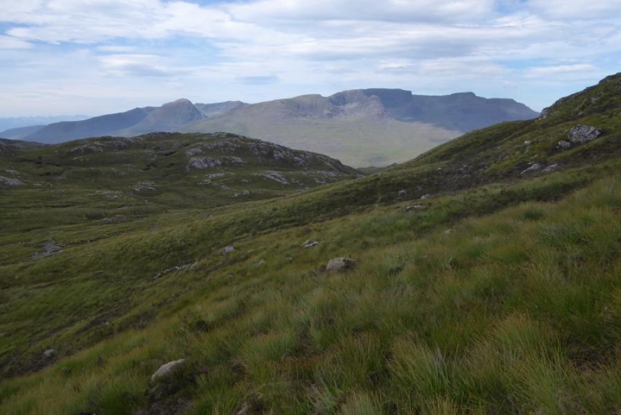
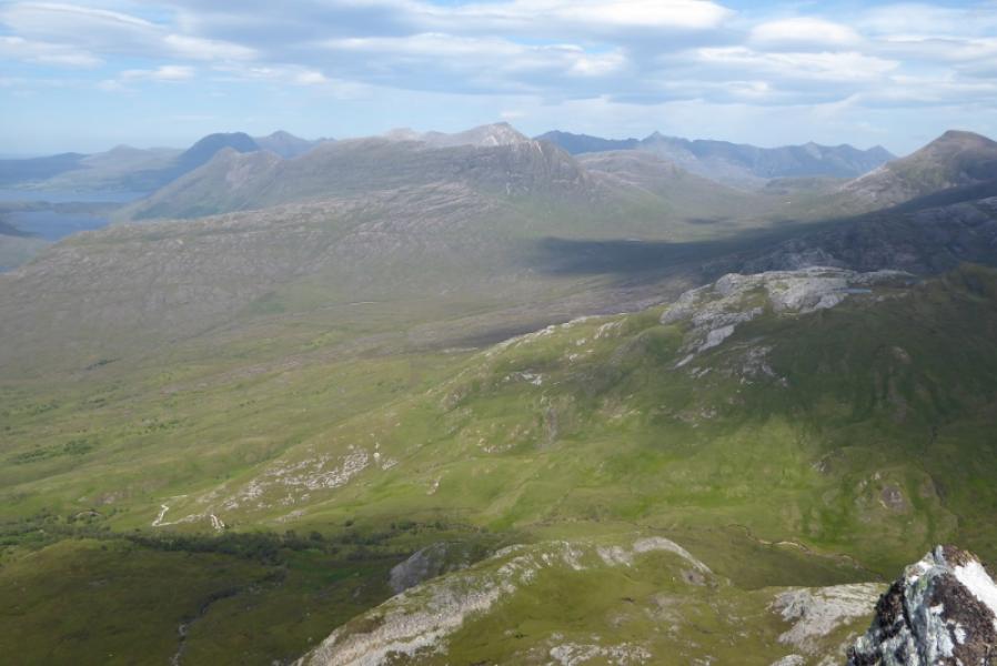
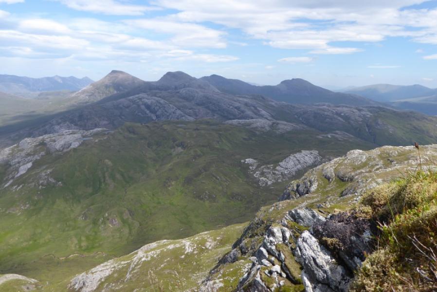
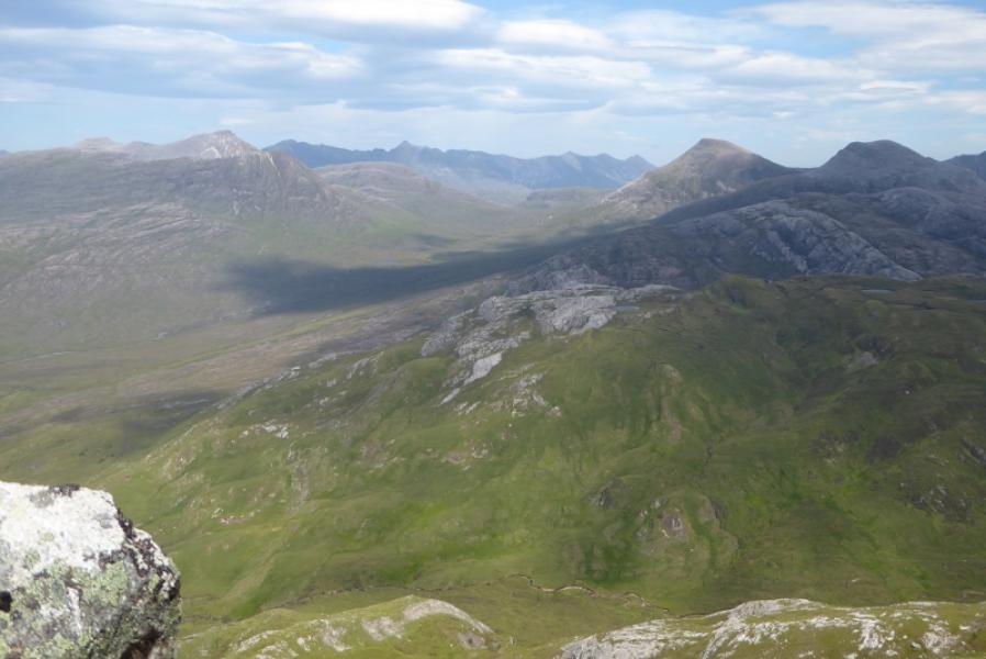
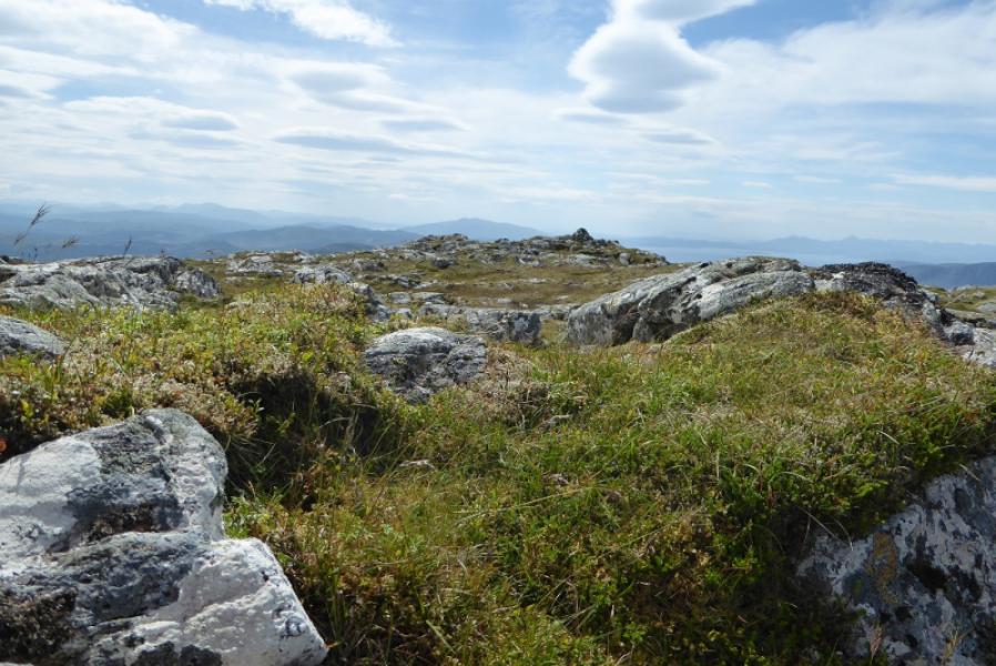
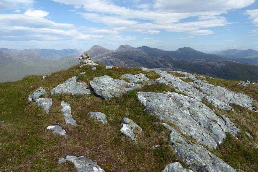
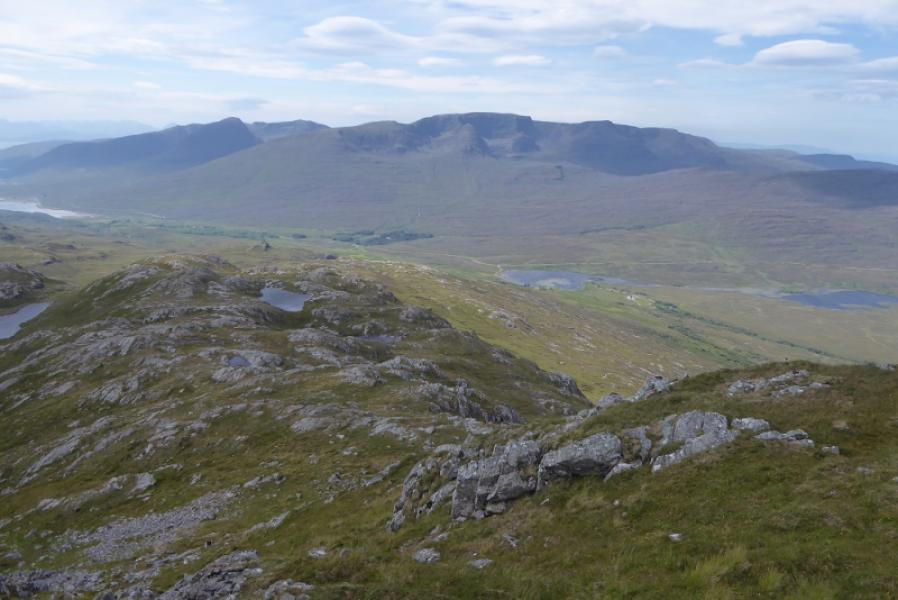
Sgurr a' Gharaidh lies in the shadow of some mighty neighbours so is often overlooked but it is a fine viewpoint despite being quite a rough ascent. There are good views west to the Applecross Corbetts and north east to Maol Chean-dearg and An Ruadh-stac with Sgorr Ruadh, Fuar Tholl an dthe Torridon mountains also visible. The ascent route uses tracks not shown on the map to avoid much of the rough lower slopes which are colonised by ferns in the summer months.
Route
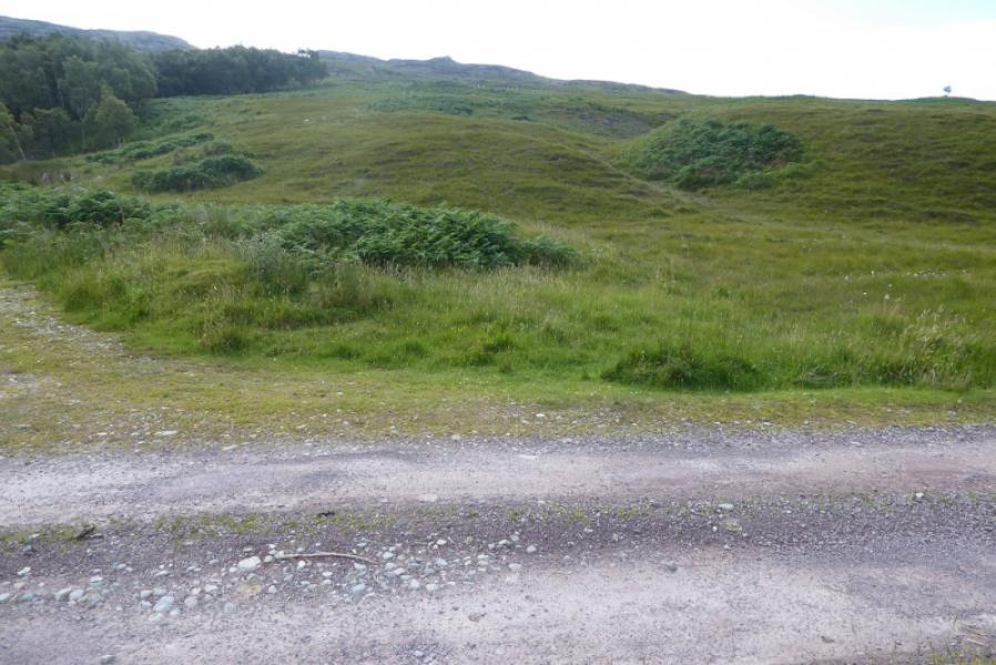
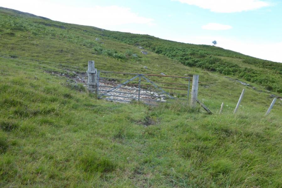
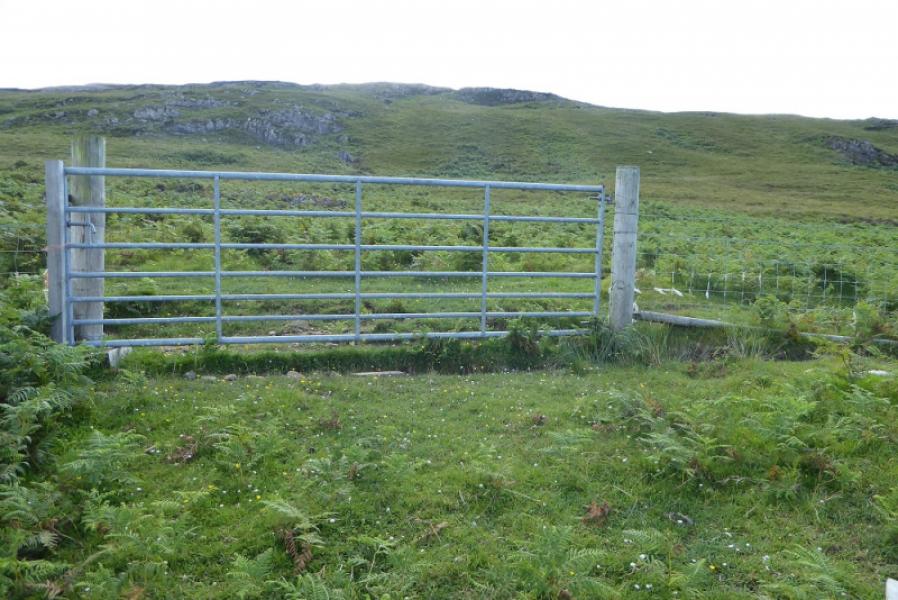
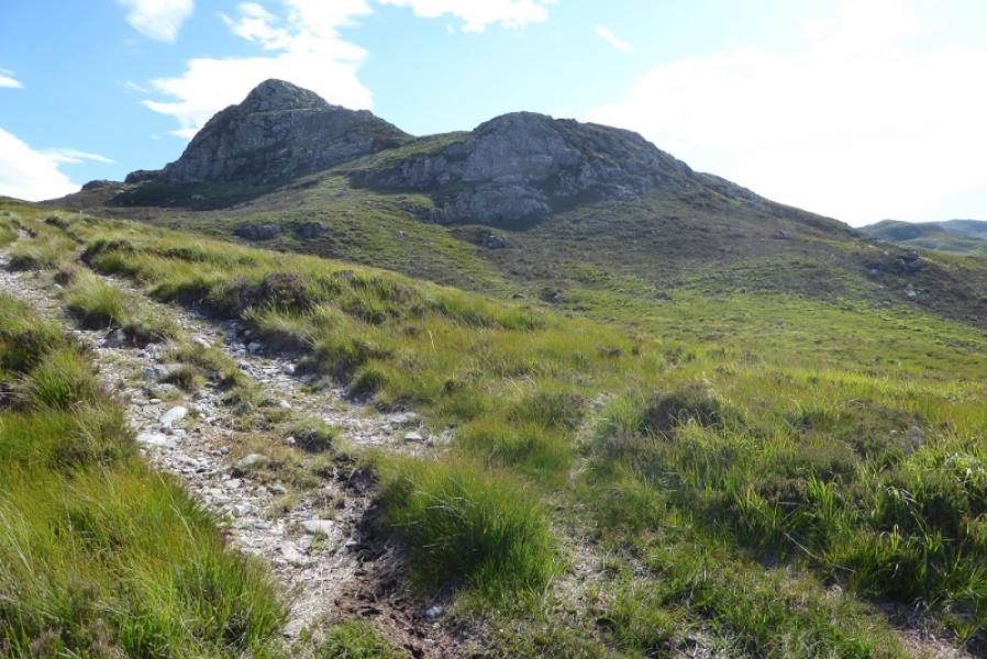
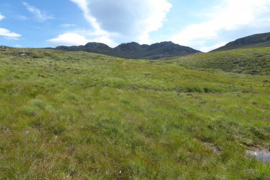
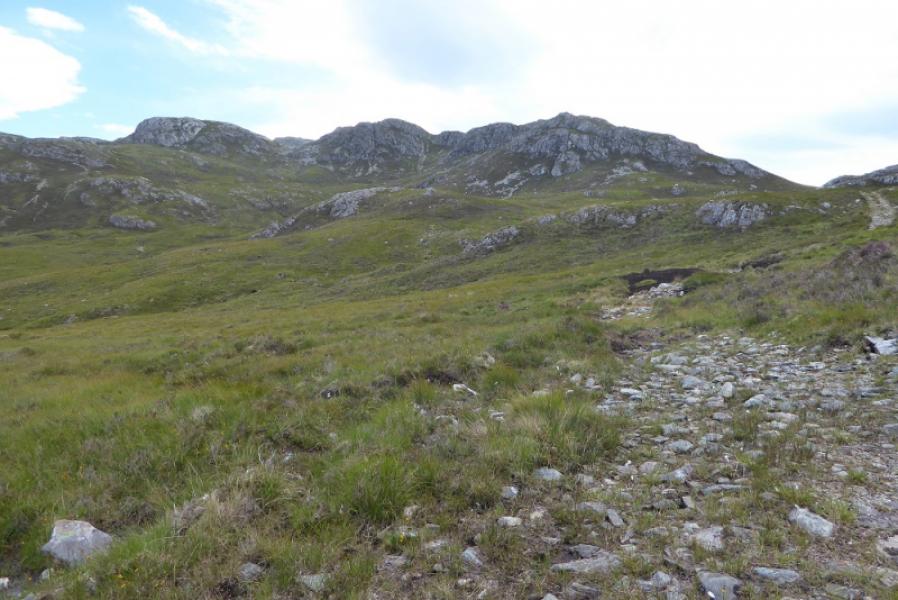
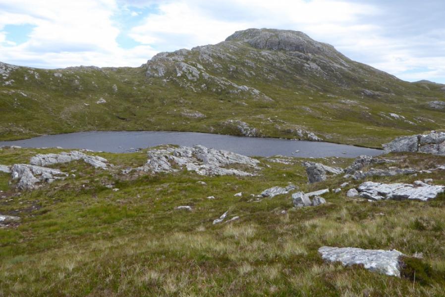
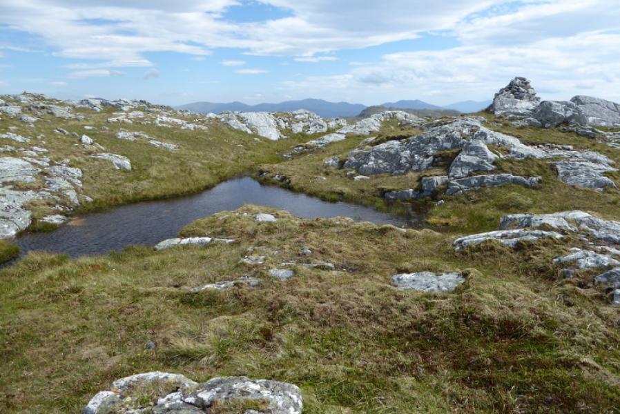
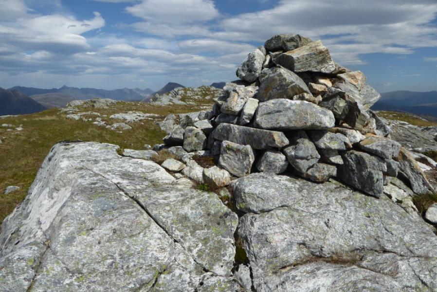
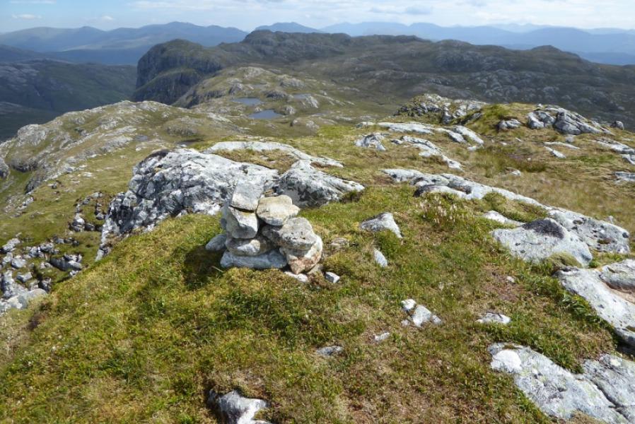
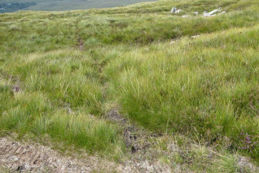
(1) From the first house along the track (about 500 m from the road), walk back (towards the road) past the large “shed” with a corrugated roof. Just after the track going to the shed, there is a faint track going uphill. Take this. IT soon becomes more distinctive. It soon passes through a gate. Continue and soon reach a fork with a fainter path going off left. Follow this and soon reach another gate (not seen from where the track splits). Above this gate are some broken crags with a wide grassy strip to their right. Pick a way up here and you may find a path which leads to a track. Follow the track which passes to the left of a prominent but minor rocky peak then drifts right and heads towards the col between Sgurr a' Gharaidh and Point 556 to its SSW. The track can be boggy in places. From the col, or before, head up moderately steep but easy slopes heading NNE. Reach a flattish area where there are two obvious lochans with the westerly one being Lochan Meall na Caillich Go around the S and W side of the NW lochan and ascend to the rideg above which heads roughly ENE towards the summit. Pick a way up the ridge where there is a path in places and reach the rough summit plateau where there are two cairns. The larger one is reached first but there is a very small one about 50 m further on the edge of the cliffs dropping N. One of these is the summit of Sgurr a'Gharaidh, 732 m. Visual observations on the ground suggest the smaller cairn is the higher.
(2) Retrace down the ridge past Lochan Meall na Caillich and continue, over some wet and rough ground, to reach the track below the minor pointed peak. Go past the peak and find the path going off right. Follow this down until it becomes too faint then drift left and reach the metal gate (second gate on the outward route). Retrace back to the start.
Notes
(a) This walk took place on 19th July, 2017, and about 15 years earlier.
(b) The SYHA at Torridon is very well placed and a lovely place to stay. It is a modern purpose built building which is very well managed. It's only fault is that it is extremely popular so, if planning to stay there, book well in advance!
Photos - Hover over photo for caption. Click on to enlarge. Click on again to reduce.