Get Lost Mountaineering
You are here: Scotland » 17 Islands » Arran
Mullach Buidhe from Pirnmill
Mullach Buidhe from Pirnmill
Start/Finish
Small parking area opposite the shop in Pirnmill. Pirnmill is about 6 miles of Lochranza and about 10 miles north of Blackwaterfoot. In summer, it would be possible to catch the ferry from Claonaig, on Kintyre, to Lochranza and return the same day.
Distance/Time
10 km. About 5 hours.
Peaks
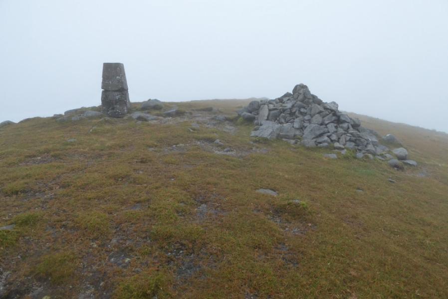
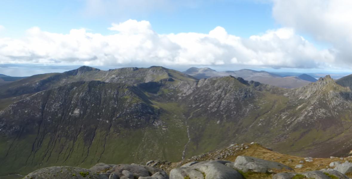
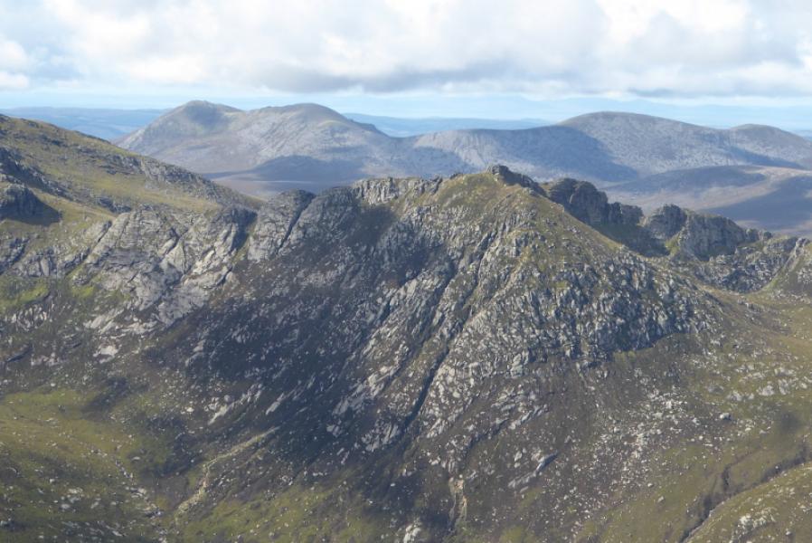
Mullach Buidhe, 721 m, NR 901 427. OS sheet 69: Isle of Arran
Introduction
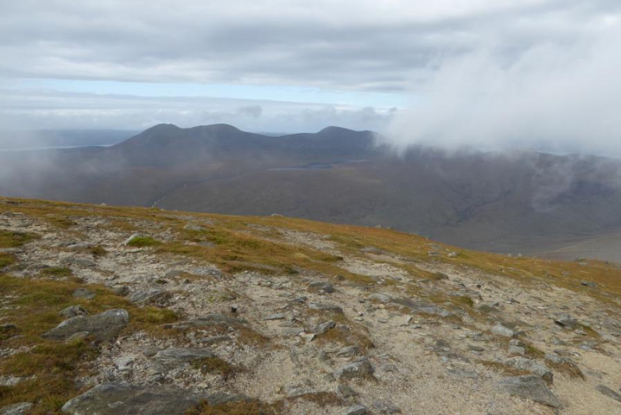
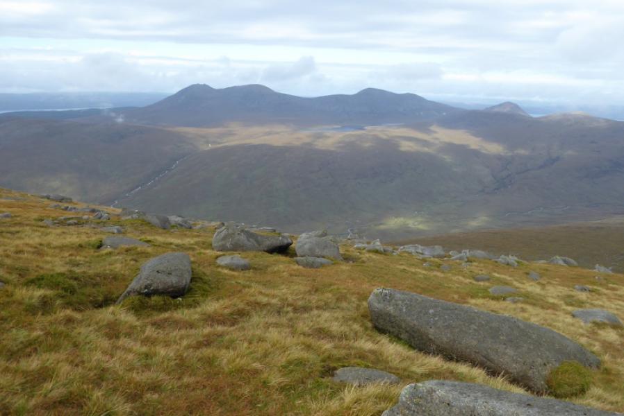
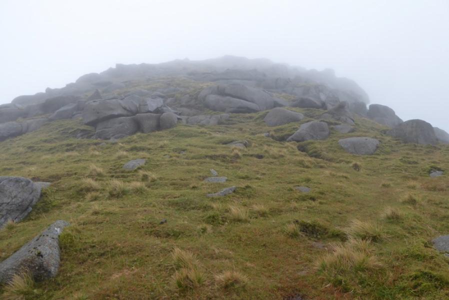
Mullach Buidhe and its slightly lower twin of Beinn Bharrain is the only Graham on Arran. On a clear day, it is an excellent viewpoint for the higher hills over to the east. Beinn Bharrain is the more interesting with its rocky tors. There is a good path most of the way apart from after crossing the Allt Gobhlach to the ridge up Beinn Bharrain. The descent from Beinn Bharrain to the col below Mullach Buidhe has some sloping slabs which are best avoided when wet.
Route
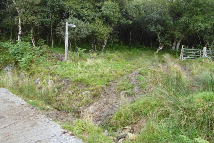
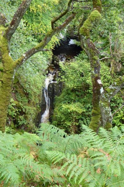
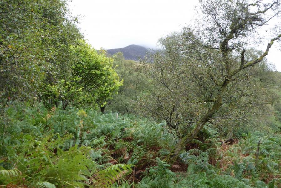
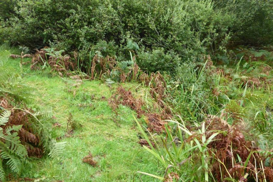
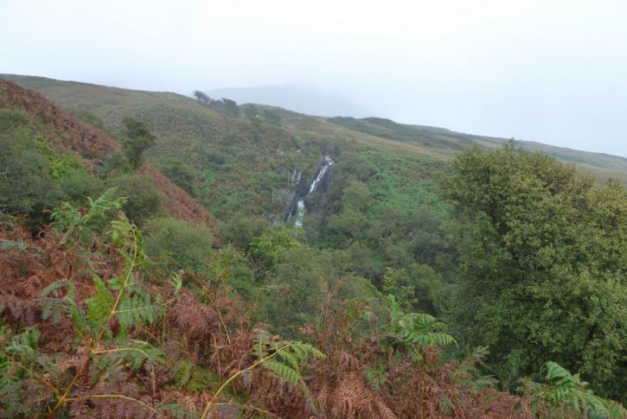
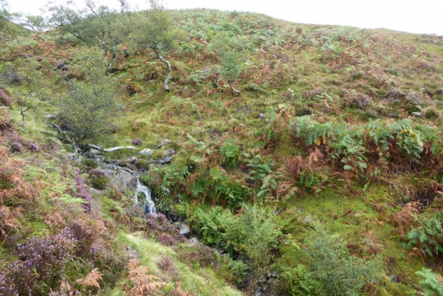
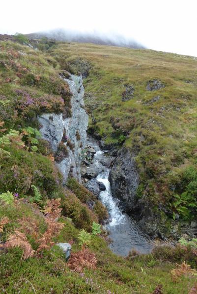
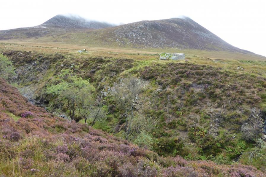
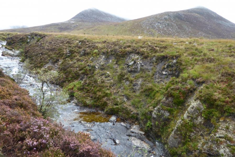
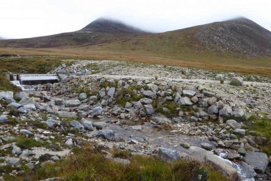
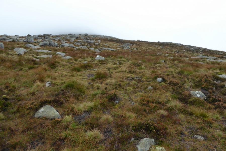
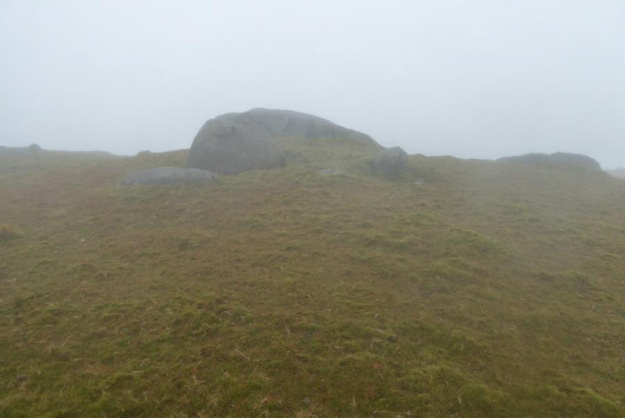
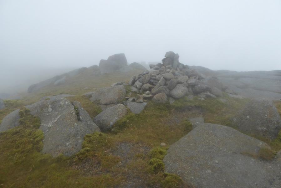
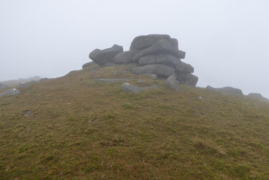
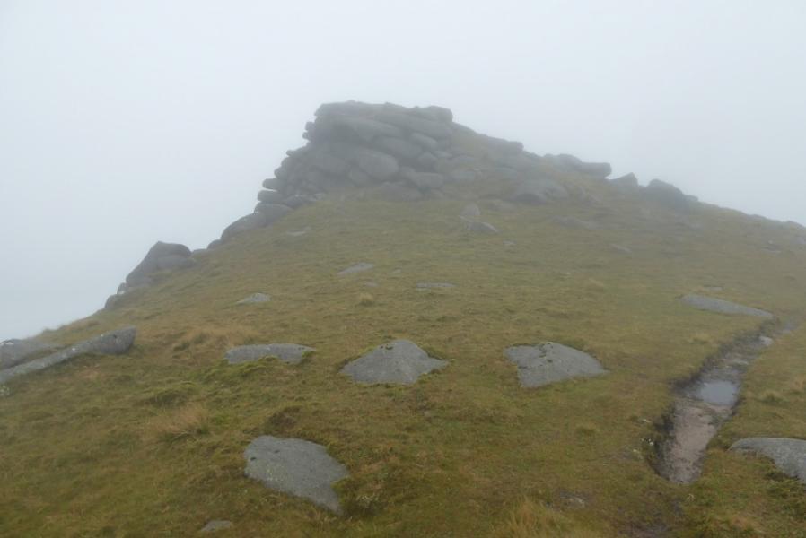
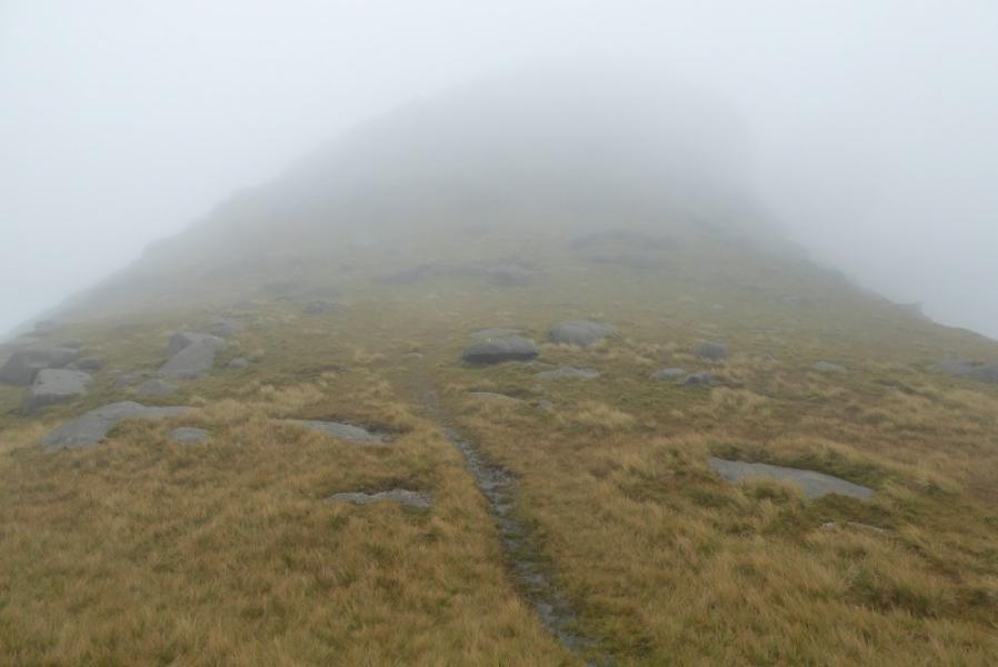
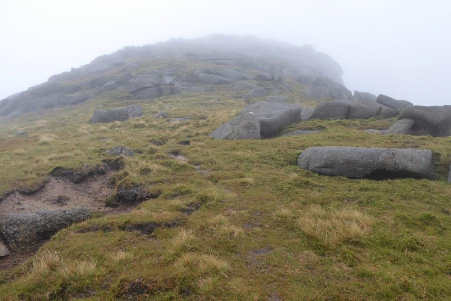
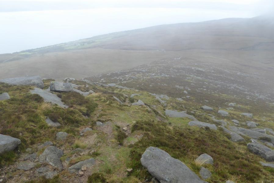
(1) Slightly to the N of the shop is a track with a fotpath sign which goes behind the houses. Follow it until it is left at a left hand bend where another footpath sign points to a stile going into a wood. Follow the path, not always obvious when the ferns are high. The overall aim is follow the stream up which will be off to the right. Reach a “junction” where a faint path goes off right and immediately crosses a very tiny stream which may be dried up. Continue and get closer to the main stream, the Allt Gobhlach in a deep tree lined gorge. A waterfall will be seen across it. Continue up and out of the wood. Cross a minor tributary easily and start following the Allt Gobhlach which will now be in a rocky gorge. Reach a small dam and cross over just before it to reach the top of a track. The next section is pathless and often wet. Head SE overall aiming for the ridge on coast side of Coire Roinn. There is an ATV track to start with but it will soon have to be left. Gain the ridge and follow it up. The first “top” as seen from below can be aimed for. This has a large flat slab with two cairns on it. If this is located, it makes finding the path up the ridge easier to find. The path picks its way up the ridge and is very obvious in places. It is worth finding so be prepared to weave about to locate it if necessary. Various outcrops are passed until a flat area is reached with a few low tors on it. The ridge curves around here and heads more to the E and soon reaches the medium cairn which is the summit of Beinn Bharrain. Continue E then NE down some rocky slabby ground, best avoided when wet, to reach a col. Walk easily up the other side, passing some more tors to reach a medium cairn and trig point which is the summit of Mullach Buidhe, 721 m.
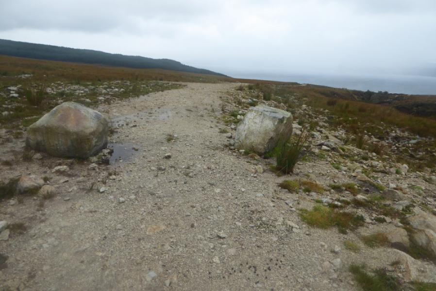
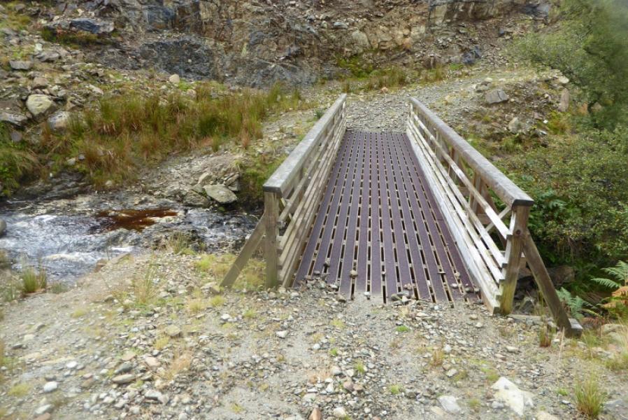
(2) Retrace the outward route. The track from the dam may look tempting but it does not go down to the road. It fizzles out soon after a bridge and becomes a rough farm track and fizzles out completely at a gate soon after. From here, the easiest way down is to go over the gate and reach the next one lower and nearer the Allt Gobhlach where another higher gate has to be crossed. From here, one can walk down to the obvious water building then follow the track to the road a few hundred metres S of Pirnmill. Given all this, the track route does offer more open views though provided you can climb over high gates!
Notes
(a) This walk took place on 6th September, 2017, in very poor weather then repeated on 8th September in equally poor weather and on 2nd April, 2007, when the ascent of the ridge on the N side of Coire Roinn was made then descending via Beinn Bharrain. The ascent ridge was rocky and involved some scrambling but memories are too sketchy to give further detail.
(b) This walk was undertaken twice in very poor weather hence the very few photos. It will be repeated sometime in the future.
Photos - Hover over photo for caption. Click on to enlarge. Click on again to reduce.