Get Lost Mountaineering
You are here: Scotland » 17 Islands » Jura
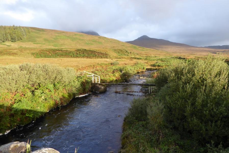
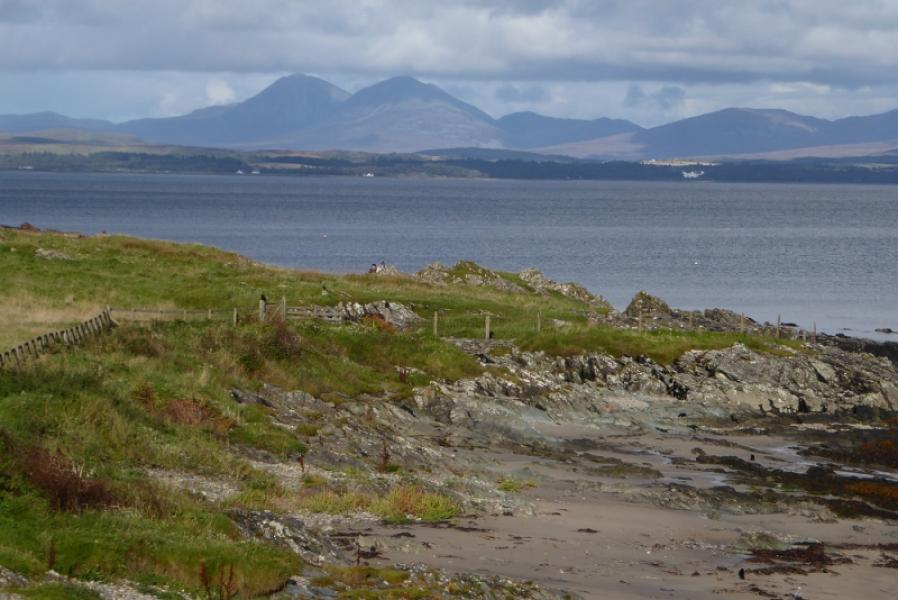
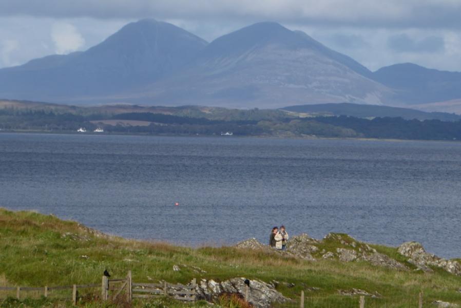
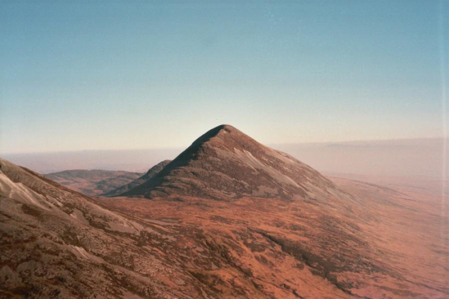
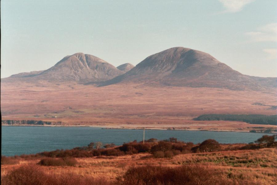
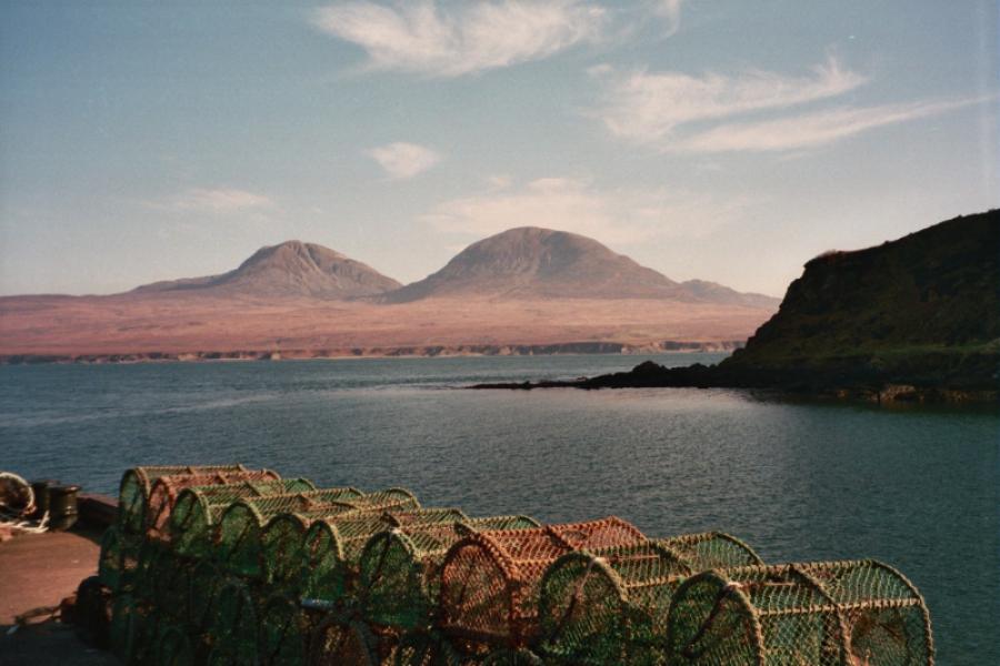
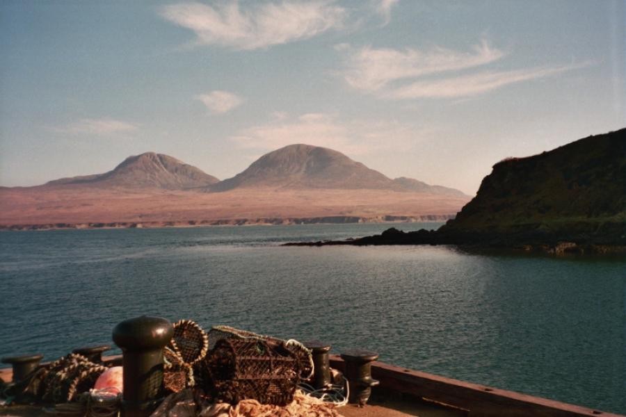
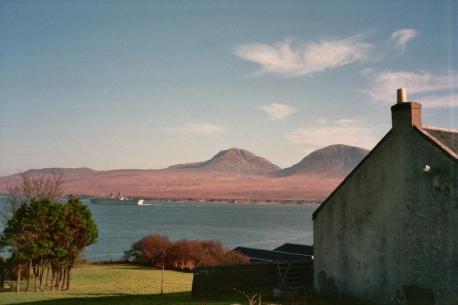
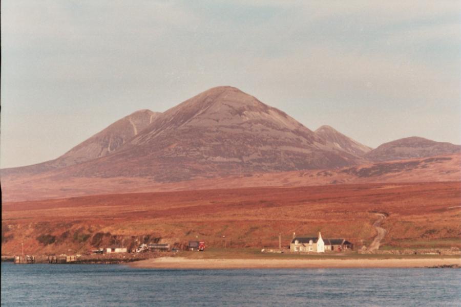
Paps of Jura: Beinn Shiantaidh, Beinn an Oir & Beinn a' Chaolais from Arched bridge over Corran River
Paps of Jura: Beinn Shiantaidh, Beinn an Oir & Beinn a' Chaolais
from Arched bridge over Corran River
Start/Finish
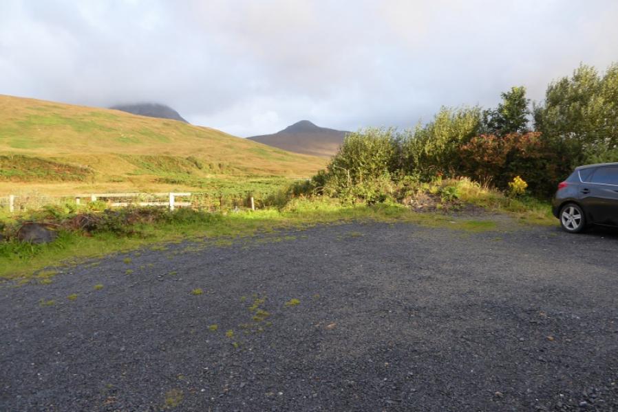
Long arched bridge over the Corran River about 11 miles from the ferry from Islay at Feolin and by the turning for Knockrome. There is a car park for about 5 cars just over the bridge.
Distance/Time
16 km. About 10 – 11 hours.
Peaks
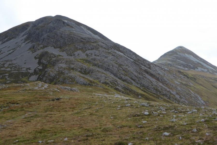
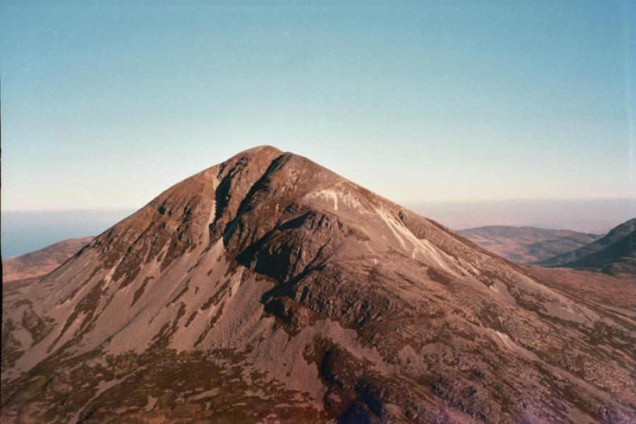
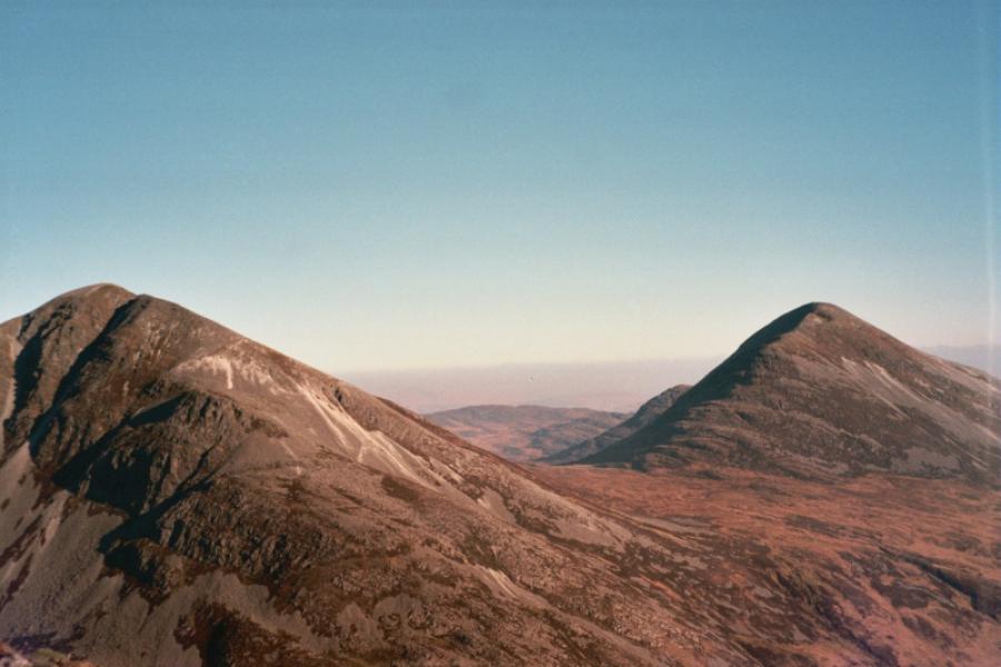
Beinn Shiantaidh, 757 m, NR 513 747.
Beinn an Oir, 785 m, NR 498 749.
Beinn a' Chaolais, 733 m, NR 488 734. OS sheet 61: Jura & Colonsay
Introduction
This is a long and very tough route but a very rewarding one. It is best tackled on a clear day well into a dry spell as the access path can be very boggy. All three mountains have extensive scree patches some of which must be negotiated. There is no obvious path up from the Corran River stepping stones (usually crossable after rain as they are high and mainly flat) to the lower part of Beinn Shiantaidh. From Beinn Shiantaidh to Beinn an Oir then down to the col to Beinn a' Chaolais gives the best going. From Beinn a' Chaolais, it is a long way back to the start over rough and boggy ground. Many guidebooks massively underestimate the time for this round. The SMC Donalds and Grahams book gives 6.5 hours which very, very few walkers will get near to achieving. This is probably because of blindly applying Naismith's rule (5 km per hour plus 1 minute per 10 m of ascent) without any consideration of the terrain. Such an application is very disappointing and may lead to unsuspecting hillwalkers still being out after dark. On a clear day, there are excellent views from the summits.
Route
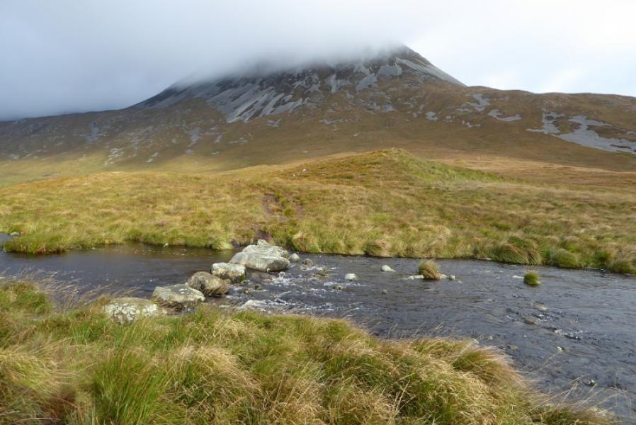
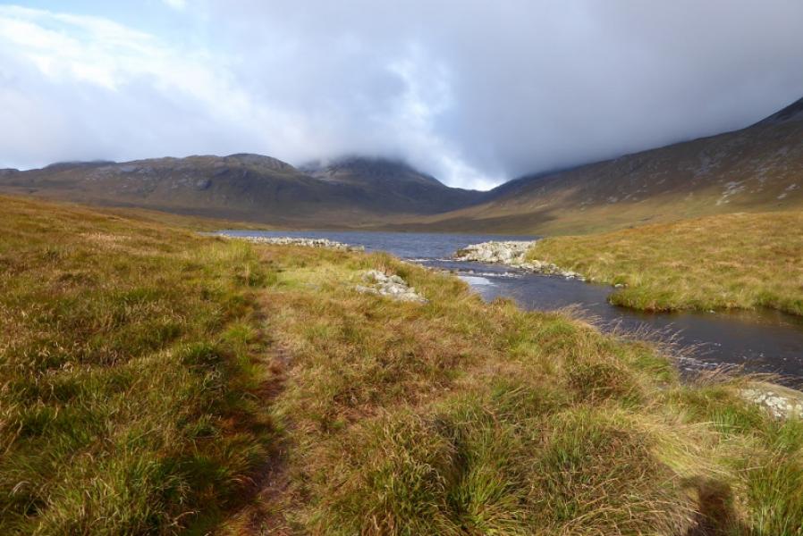
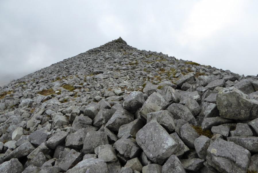
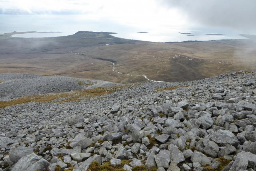
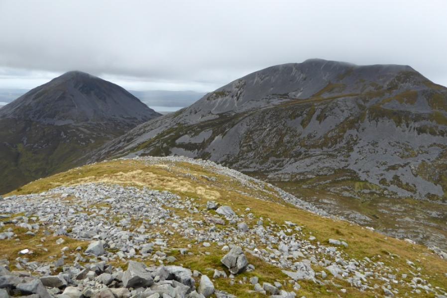
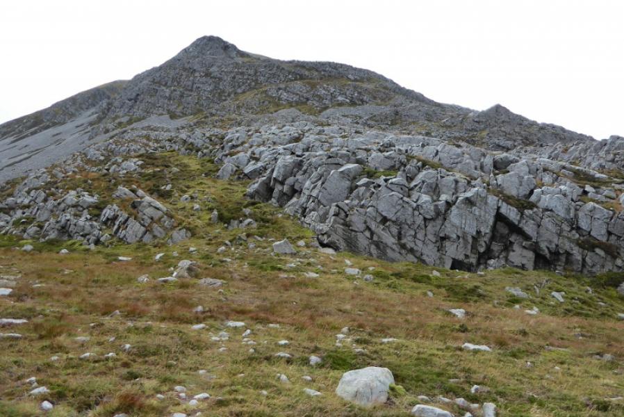
(1) From the car park, cross back over the bridge and drop down the back to a stile. Cross over and follow a path upstream. This soon splits. The best ground is found by taking the highest alternative but still shadowing the Corran River. Much of this is an ATV track. After nearly 3 km, it descends slightly to the stepping stones just before the outflow of Loch an t-Siob (not seen until quite close). Cross over then head almost due N (no path) ascending to the ESE ridge of Beinn Shiantaidh then head W to WNW to find a path picking its way up the mountain. The path tends to make a rising traverse along some of the S flank before picking its way up to a higher ridge. There are various paths on this section so try to pick one which avoids as much scree as possible to save on effort. Once on the higher ridge, the angle eases and one can walk over grass, rock and less arduous scree to reach the medium cairn which is the summit of Beinn Shiantaidh, 757 m.
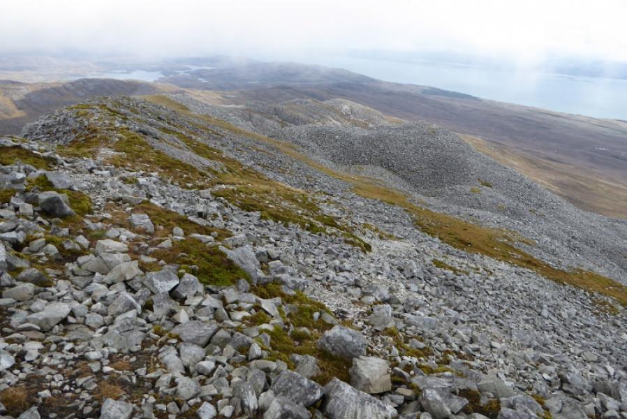
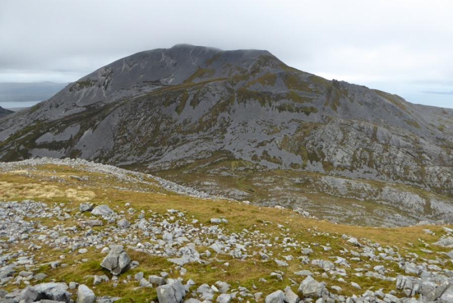
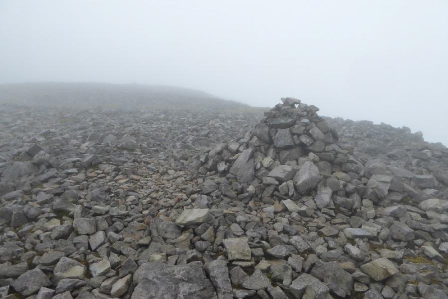
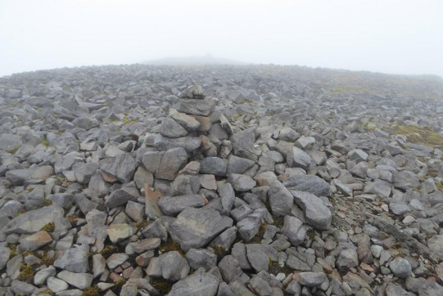
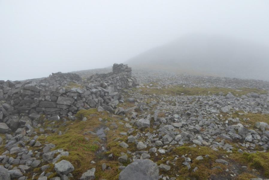
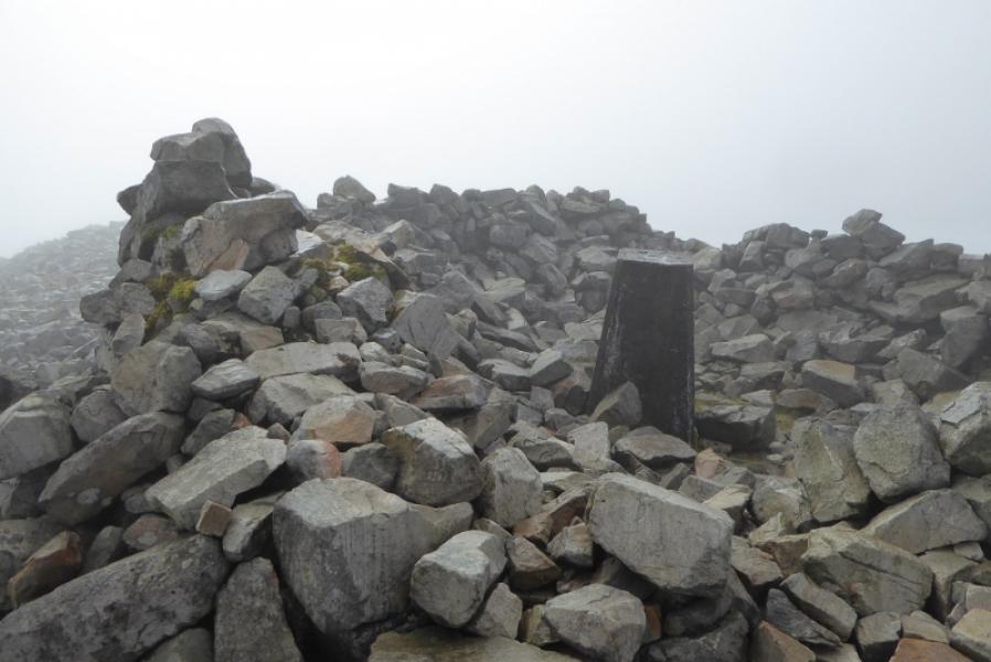
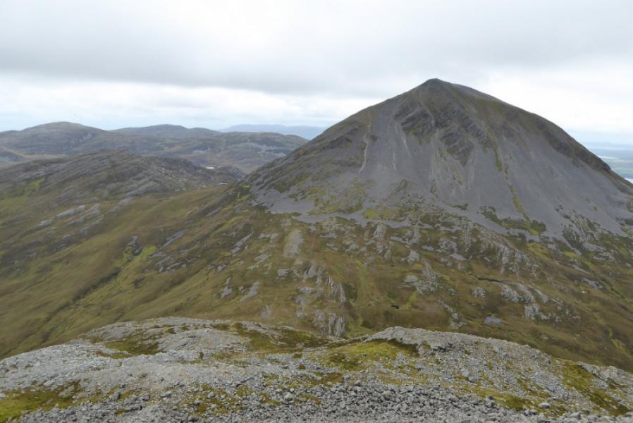
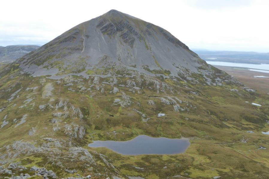
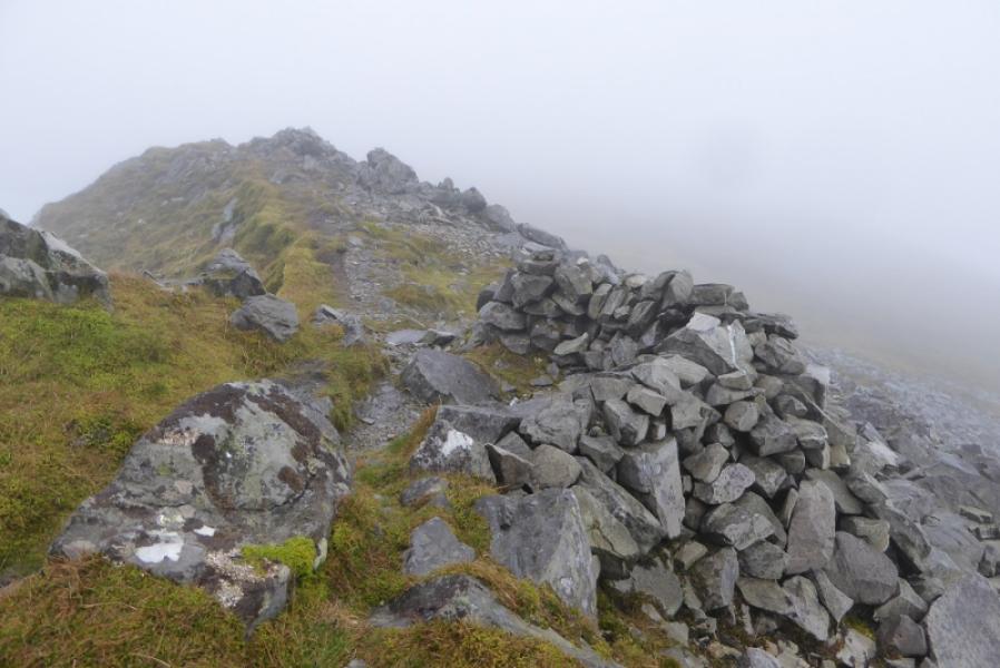
(2) Descend the W ridge of Beinn Shiantaidh which starts a short distance after the summit. The ridge is rocky to begin with but fairly well defined and soon becomes more grassy and wider. When the ridge seems to end abruptly, go right and find a path (not obvious at first) which soon cuts back below the very steep section of the W ridge and, eventually, reaches the very broad col to Beinn an Oir. The path is not that obvious lower down or in the col but very obvious just above the col on the Beinn an Oir side. Follow the path across the S flank until it turns right just before a stream. Follow the path up, ignoring any other paths which appear to go off left. The angle and ground are both reasonable. Pass just below some significant outcrops then continue to join the path coming up the NE ridge. Turn left and follow the path up to reach a cairn at the start of a rocky plateau where there are also a few other cairns. In thick mist, it might be possible to mistake one of these for the summit but remember that the true summit has a trig point. Go across the plateau to reach the ruin of a large stone building with another not much further. The ground now rises and a very stony and wide path is followed up to reach the trig point, inside a shelter cairn, which is the summit of Beinn an Oir, 785 m.
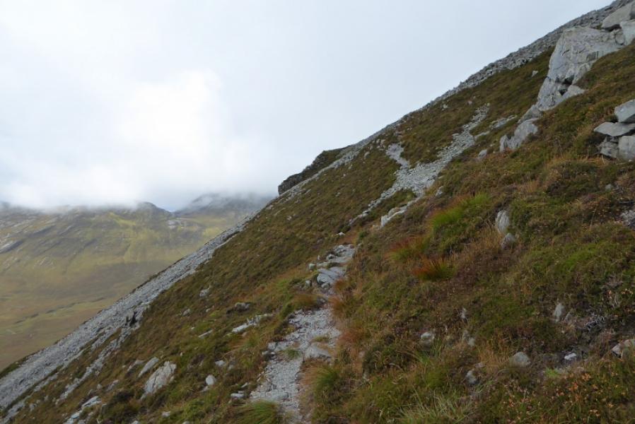
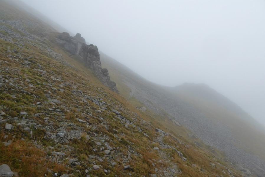
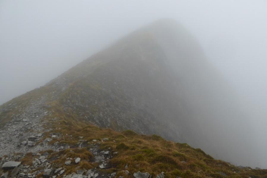
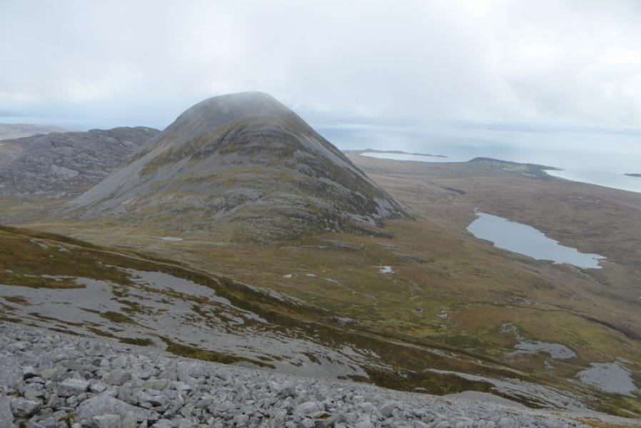
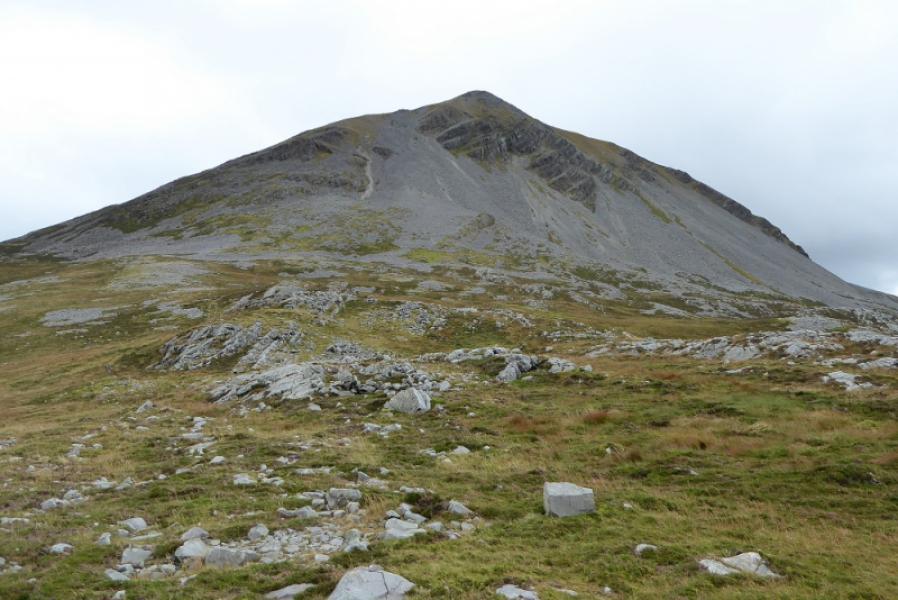
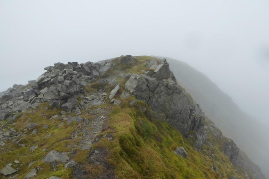
(3) From the summit, head roughly S, keeping steep ground to the right. There is a faint path over the rocky ground. Soon there is a minor top ahead which could be called the S Top although there is no official name. The vague path goes to the left of this then continues down the rocky/stony ridge. Soon a more obvious path develops which picks its way down, with many zig zags, avoiding some very steep sections and cliffs. To achieve a safe descent, it is very important that this path is located and followed. The path eventually reaches the col below Beinn a' Chaolais to the SE of the lochan. The path continues and soon starts to climb more steeply. In clear weather, the steep section will have been well seen during the descent of Beinn an Oir. Continue up to soon reach the steep scree. Much of this can be outflanked on the left where there is a more grassy path by the rocks. Eventually, reach the E ridge where the angle eases and follow the path W turning SW just below the summit area. A shelter cairn and a medium cairn perched on a steep edge (on the left) mark the summit of Beinn a' Chaolais, 733 m. There is a flat grassy area to the W.
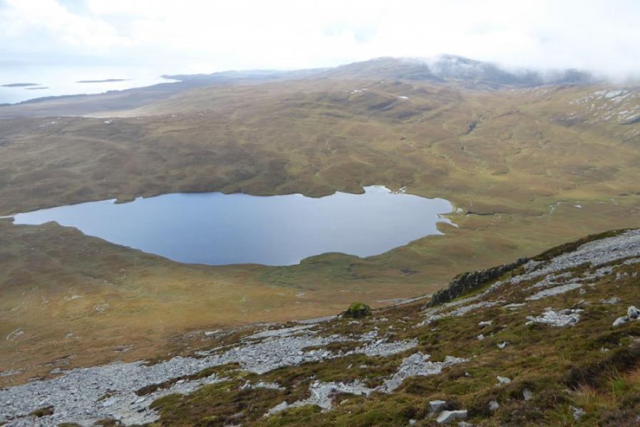
(4) Retrace down the same path trying to avoid as much of the scree as possible. Much lower down, it is possible to go roughly E, down reasonable ground, rather than go all the way to the col. Descend easy slopes to the S side of Gleann an t-Siob and aim for the S side of Loch an t-Siob. There is no really obvious path but lots of deer tracks over rough ground so progress will be slow. Pass the loch on its S side to regain the outward route at the stepping stones.
Notes
(a) This walk took place on 12th September, 2017 and on 10th April, 2008. The round was completed in reverse on 12th April, 2008.
(b) Some recently discovered old film photos have now been added after the modern digital ones.
Photos - Hover over photo for caption. Click on to enlarge. Click on again to reduce.