Get Lost Mountaineering
You are here: Scotland » 01 South of Oban to Stirling and Fife » Dunoon, Lock Eck and Lochgoilhead
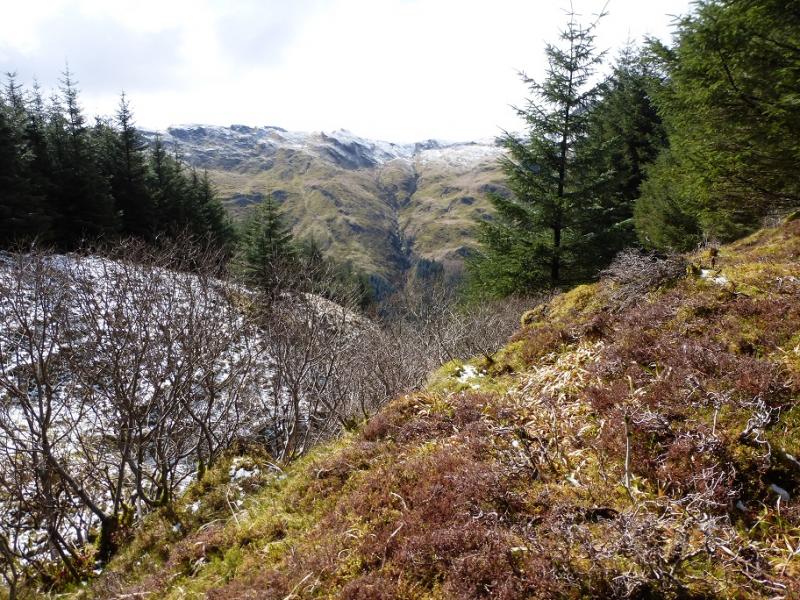
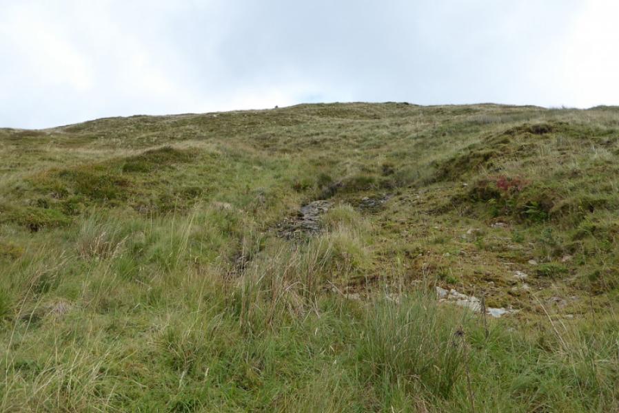
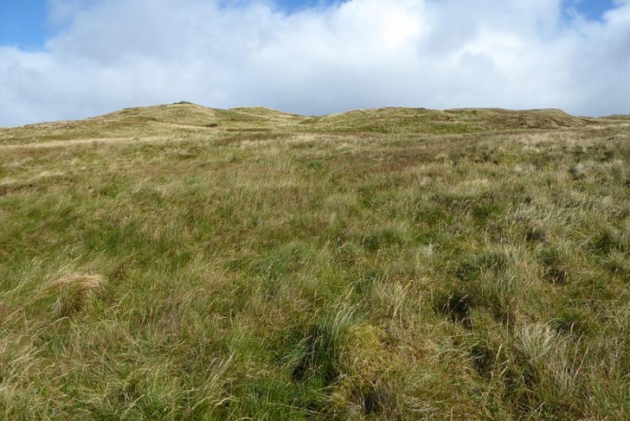
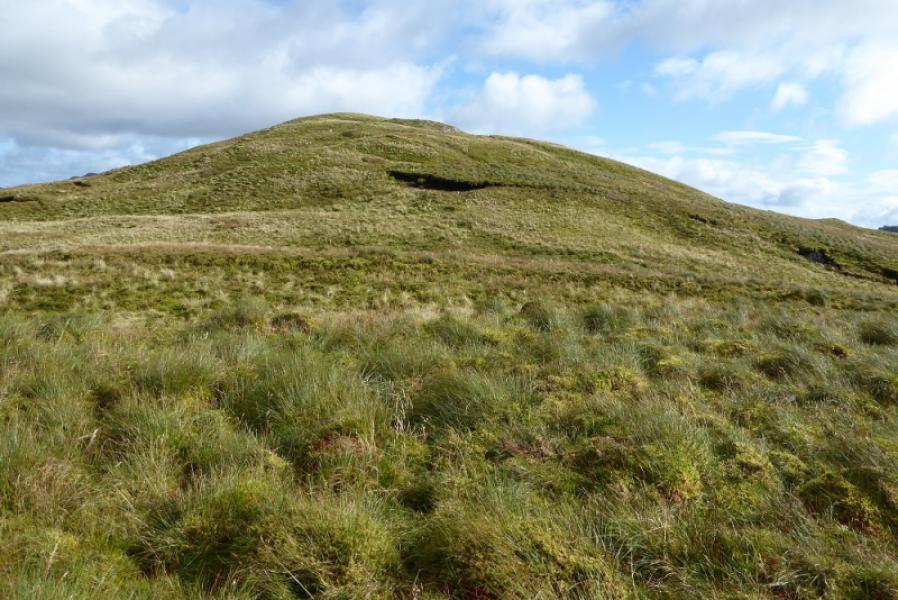
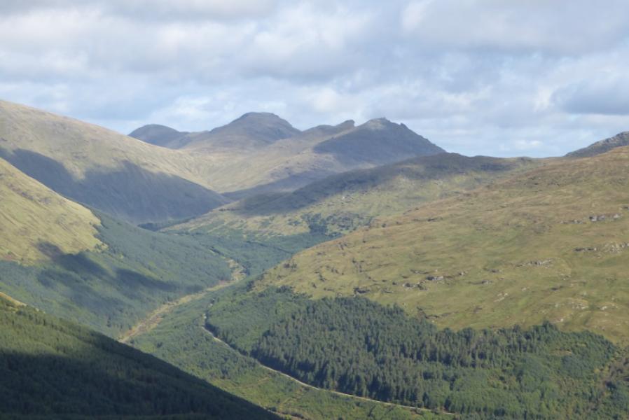
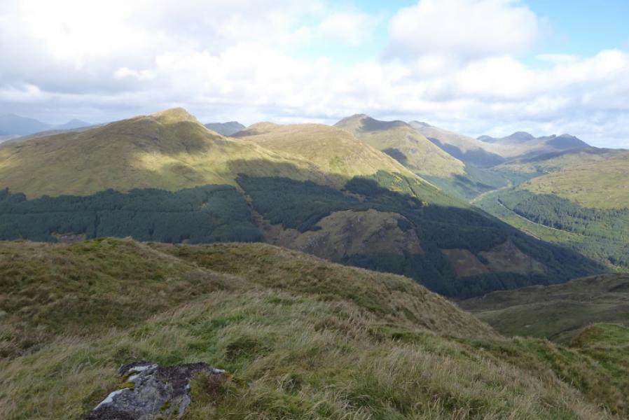
Cruach nan Mult from top of Hell's Glen
Cruach nan Mult from top of Hell's Glen
Start/Finish
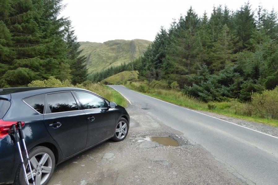
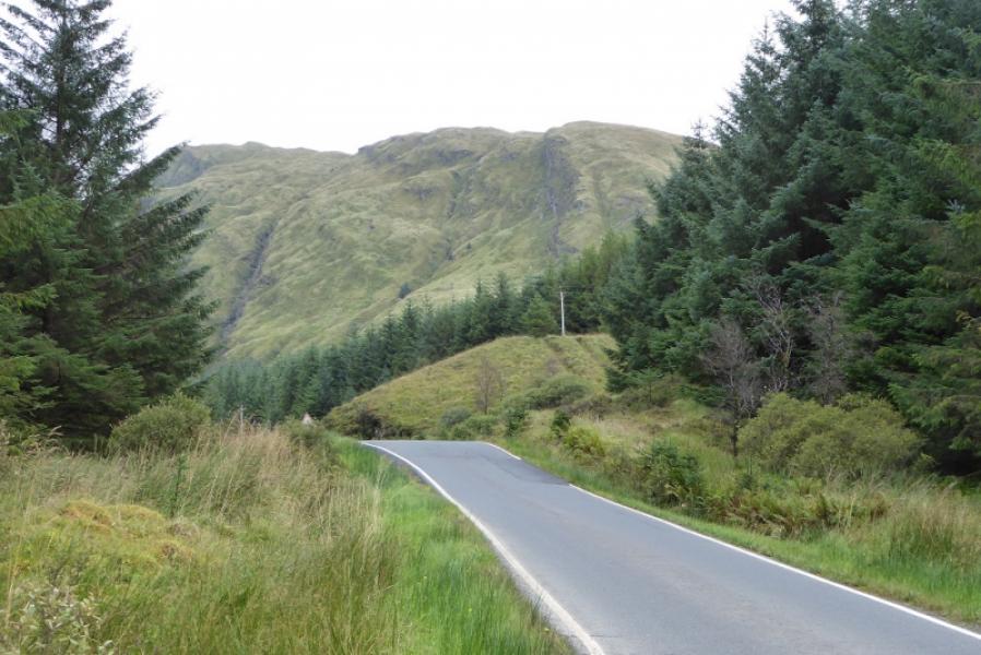
The top of Hell's Glen otherwise known as Gleann Beag where there is parking where tracks go left and right from the road, B839, at NN 167 064. Hell's Glen is a narrow road and lies between the B828 road from the Rest and Be Thankful and Lochgoilhead and the A815 road from Glen Kinglass to Strachur (then Dunoon). The B828 is also very narrow so it is much easier to access the start from the A815 giving only just over a mile of narrow road driving. If coming from Arrochar, go over the Rest and Be Thankful and down the other side, past Butterbridge, then drive through Glen Kinglass taking the A 815 before Cairndow – it is the only significant junction off Glen Kinglass. Follow the A815 for just over 2 miles to reach the B839. Note that in winter conditions, the Rest and be Thankful pass may be closed. The road is also prone to closures from landslides. If coming from Inverary, go around the head of Loch Fyne and through the hamlet of Cairndow then take the right turn on to the A815 shortly after entering Glen Kinglass. The turning for the B 839 is just over 2 miles down the A815.
Distance/Time
7 km About 3 hours.
Peaks
Cruach nam Mult, 611 m, NN 168 055. OS Sheet 56: Loch Lomond & Inverary.
Introduction
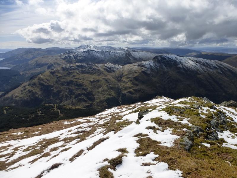
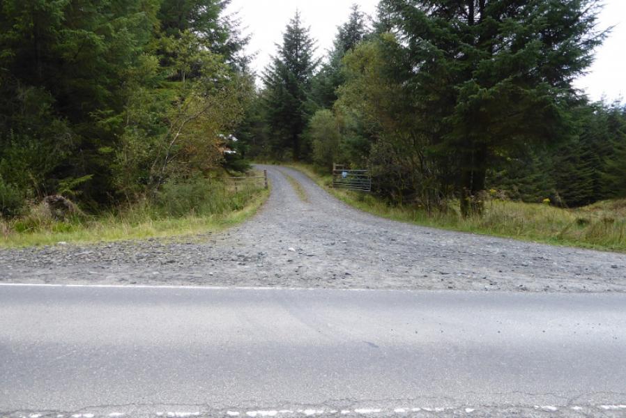
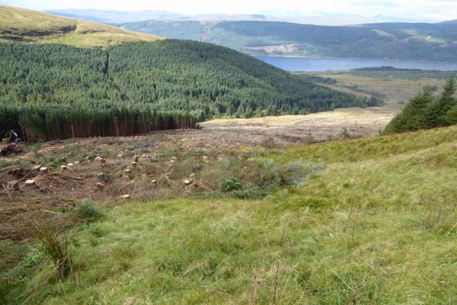
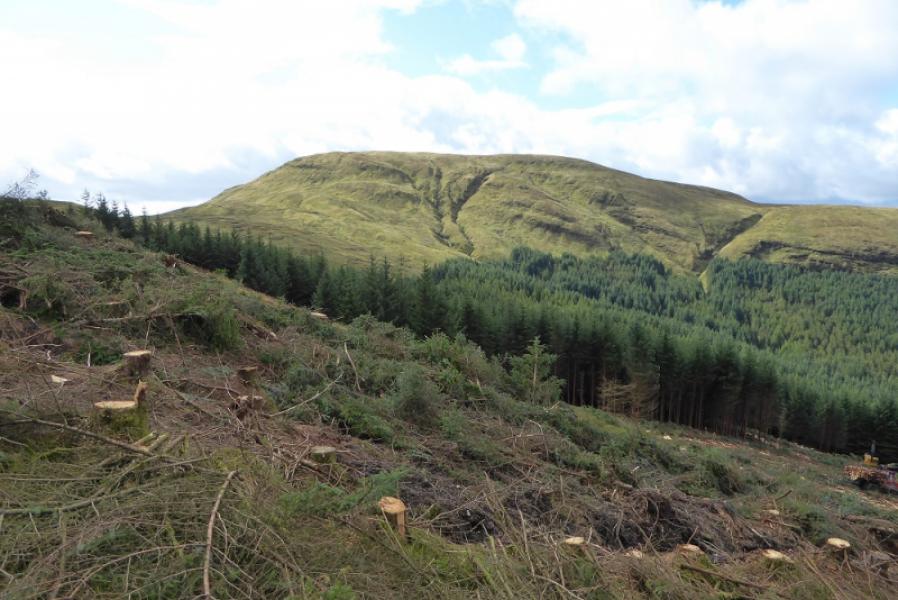
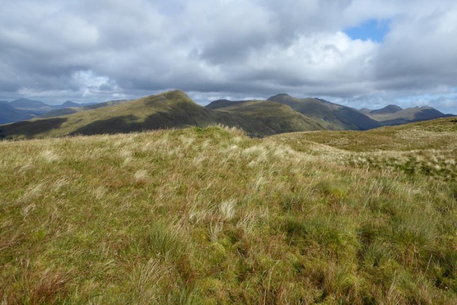
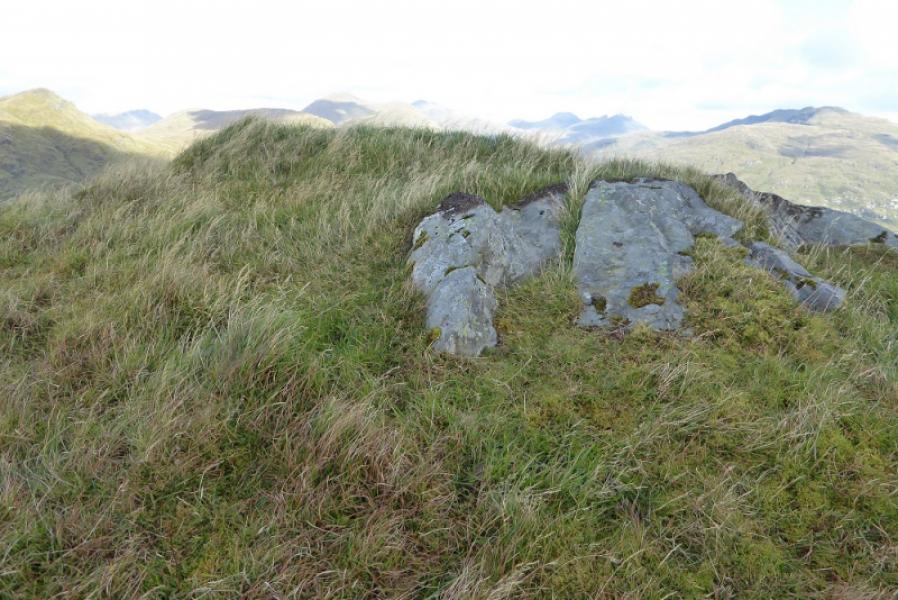
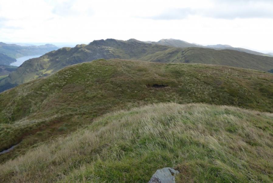
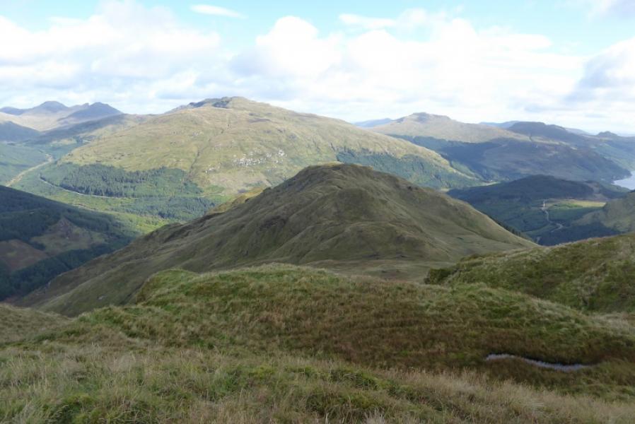
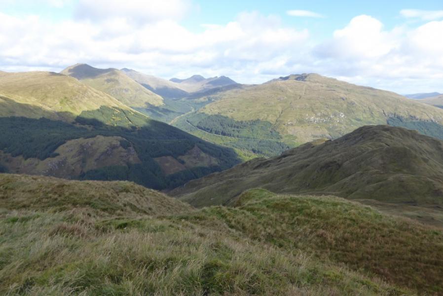
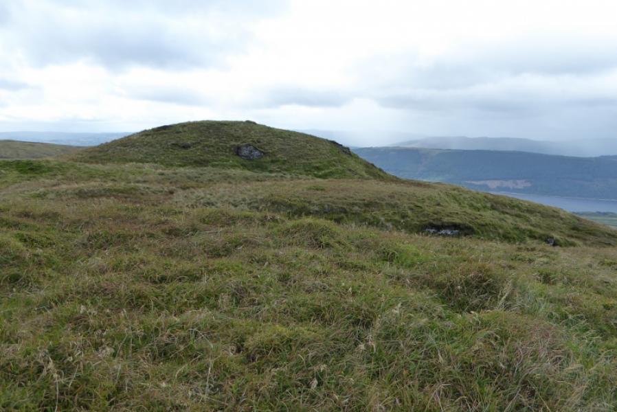
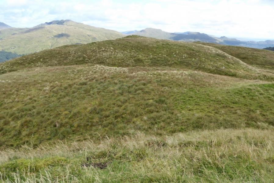
This is usually an easy approach to Cruach nan Mult but, on 14/9/17, extensive tree felling was taking place around the end of the track leaving much debris around and making the route more difficult as a result. On the day, it was easier to cross the shortest section of debris which means that the usual route to the col between Cruach nan Mult and Cruach nan Capull was not taken and the old paths to it had largely been obliterated. This meant a more or less direct ascent up steeper grassy slopes to the crest from the track. The views from the top are extensive and include Stob an Eas (across the glen), Beinn an Lochain, Ben Donich and Beinn Bheula. On a clear day, even Beinn Buidhe and The Cobbler can be seen. There is no cairn on the highest point and there are three contenders so walk over them to the far SE top to where the crest descends steeply to be sure of being on the summit.
Route
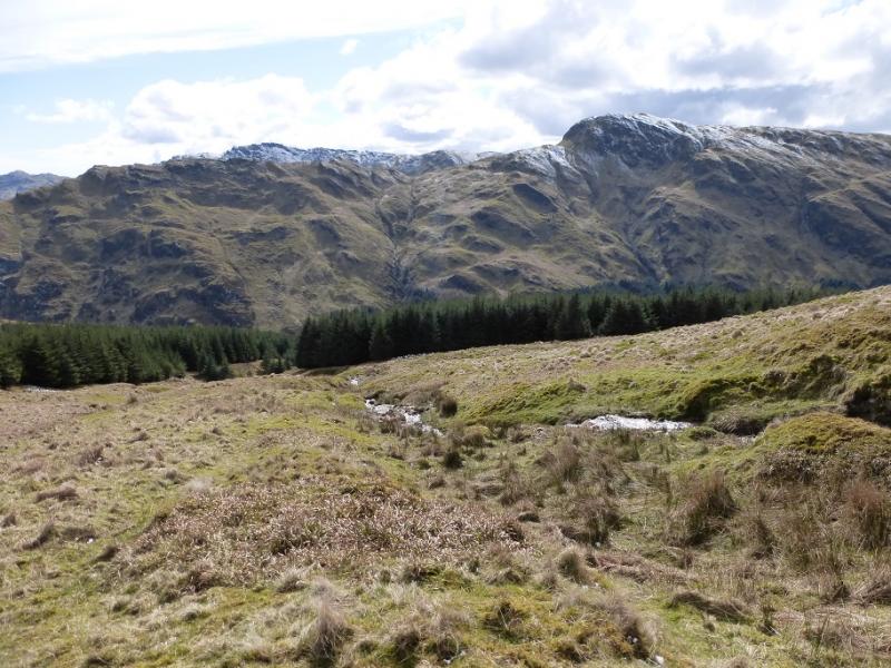
(1) From the top of Hell's Glen, take the track on the W side of the road and follow, for about 1.2 km, it to its end where the forest is being cleared. Depending on the situation and ease of access, either pick a way to the col between Cruach nan Mult and Cruach nan Capull or pick a way up to the grassy slopes above where the forest used to be. From the col, head E up rough grassy slopes to gain the crest. From the end of the track, head SE up steeper slopes to gain the crest. There is little in the way of paths even on the crest. Follow the crest SE over virtually every top (all easy) untilthe far SE top is reached after which the crest descends quite steeply. This top has a small flat embedded slab on it. Either this or one of the two tops before it is the highest point of Cruach nam Mult, 611 m.
(2) Retrace the outward route
Notes
(a) This walk took place on 14th September, 2019, and on 18th February, 2004, from lower down Hell's Glen using a much more difficult route through the trres initially.
Photos - Hover over photo for caption. Click on to enlarge. Click on again to reduce.