Get Lost Mountaineering
You are here: Scotland » 00 Galloway and the Borders » Moorfoot Hills
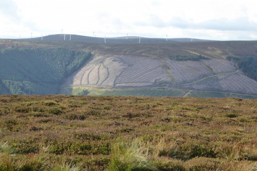
Blackhope Scar, Bowbeat Hill & Dundreich from Moorfoot
Blackhope Scar, Bowbeat Hill & Dundreich from Moorfoot
Start/Finish
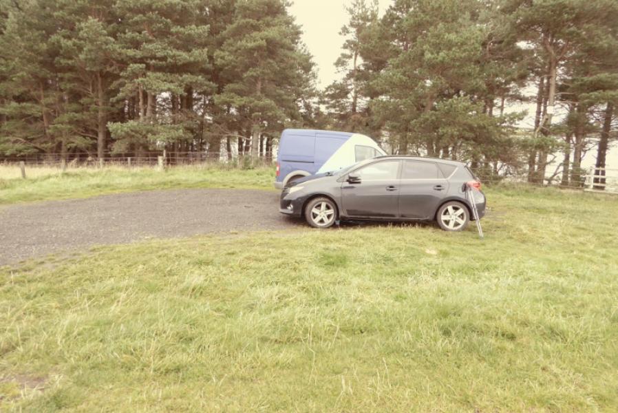
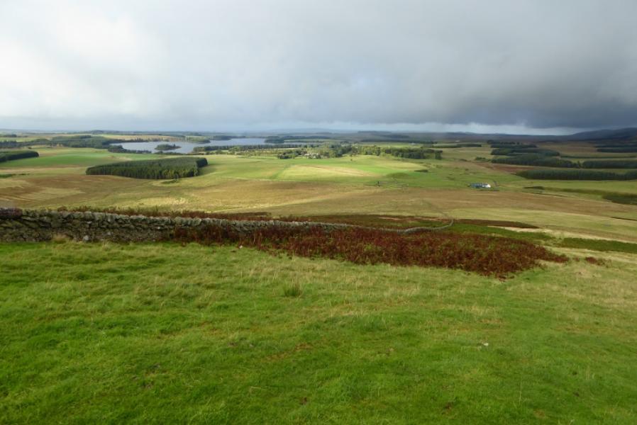
Small rough parking spot at the south end of Gladhouse Reservoir on the minor road to Moorfoot Farm (EH23 4TF). This minor road is off the minor road between Temple and Waterhead. Those approaching from the north will probably go through Penicuik and those from the south via Peebles.
Distance/Time
18 km. About 6 – 7 hours.
Peaks
Blackhope Scar, 651 m, NT 315 483.
Bowbeat Hill, 626 m, NT 292 469.
Dundreich, 623 m, NT 274 491.
OS 73: Peebles, Galashiels & Selkirk. OS Explorer sheet 337: Peebles & Innerleithen.
Introduction
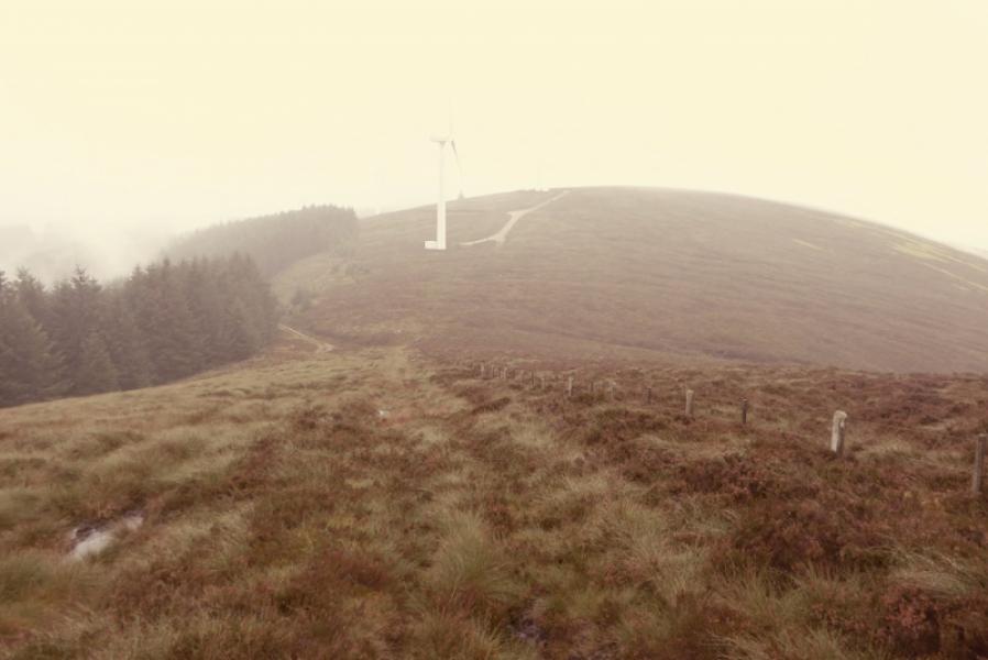
This is a high moorland walk with some good views on a clear day. Much of the ground is pathless and quite rough in places. Fences help in places but there can be testing navigation in thick weather. Bowbeat Hill is now part of a large wind farm which may not be shown on your map. Whitehope Law is a satellite Donald of Blackhope Scar but is about 6 km away along a rough ridge, which has to be reversed, so most ascend it along with Windlestraw Law which is where it is included on this site. A barbed wire fence has to be crossed so it might be wise to take something to put over it for protection.
Route
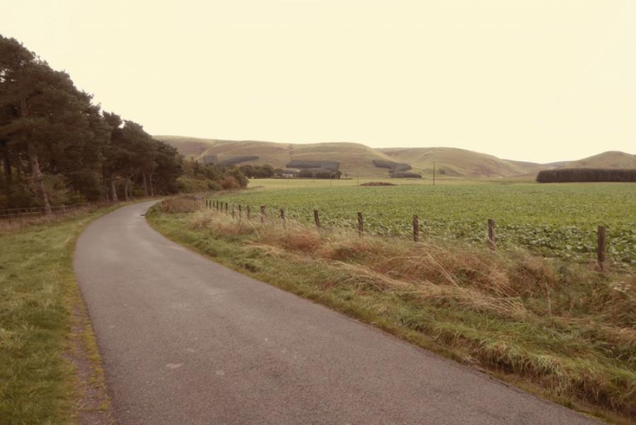
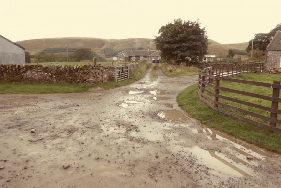
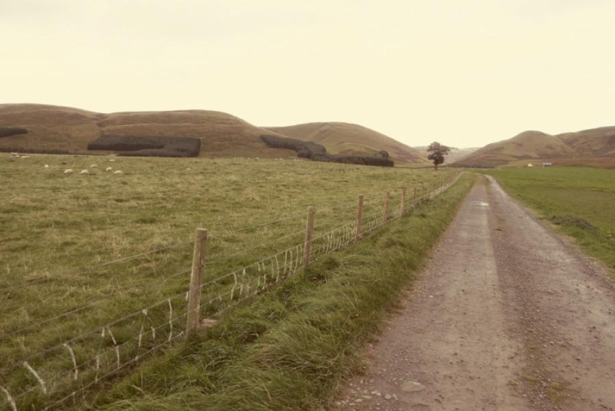
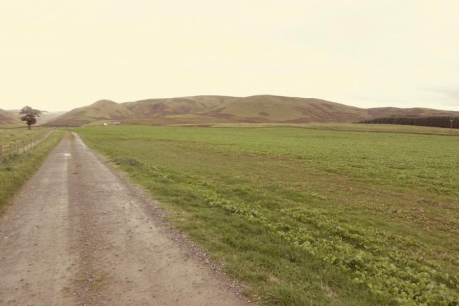
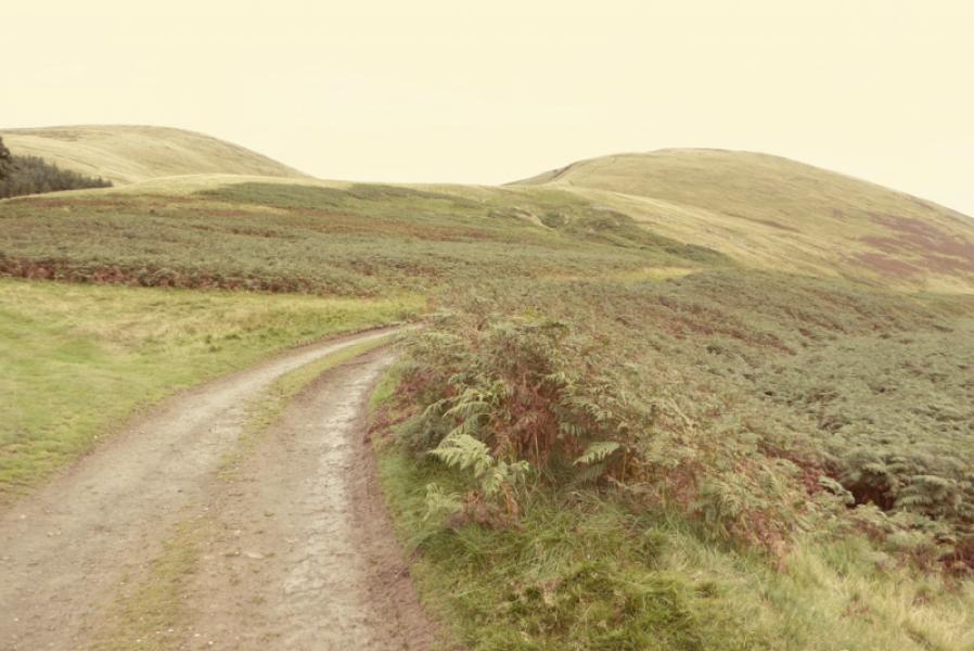
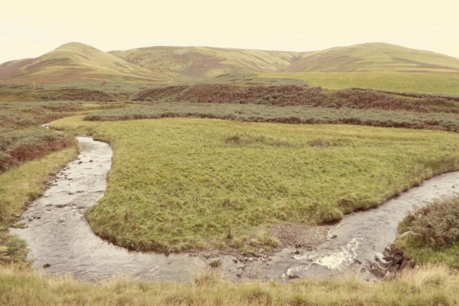
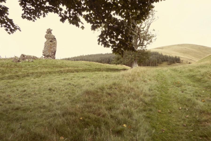
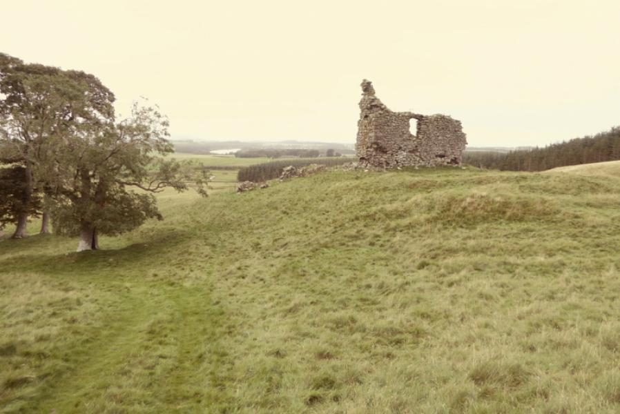
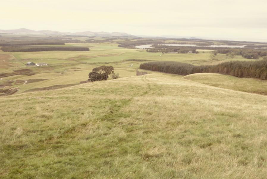
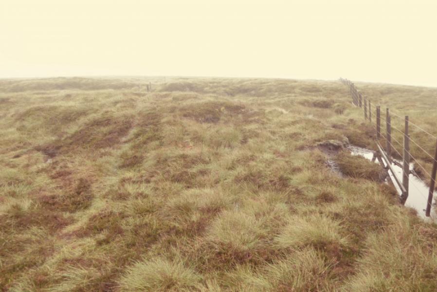
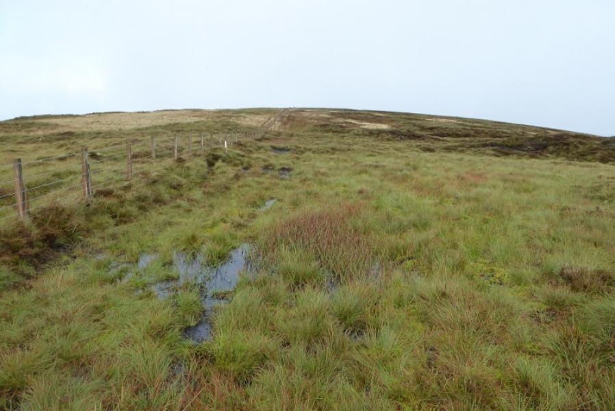
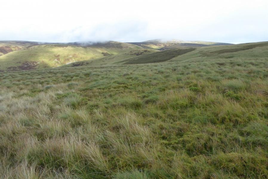
(1) Continue along the minor road to reach Moorfoot Farm where there is a collection of houses. Take the first right just after the tarmac ends and follow the track S towards Gladhouse Cottage, about 1 km down the track. Just before the cottage, take the left fork and follow it over the bridge across the river then soon after, fork left onto a grassy track which goes past the ruins of Hirendean Castle of which only a small wall seems to be left. Continue up the track which heads up the N ridge of The Kipps. A lowish barbed wire fence is soon reached which has to be climbed over. Continue up, steepish in places, until the angle eases and the track ends at a T junction. The ground directly ahead is quite rough with tussocky grass and heather so it is probably best to take the track going left and pick a way over to the fence to the E which heads S towards Blackhope Scar. Follow the fence up, first S then SE. The ground can be very rough but there is a path in places as well as bits of an ATV track. The trig point of Blackhope Scar, 651 m, sits by a junction of several fences. There may be a slightly higher point nearby.
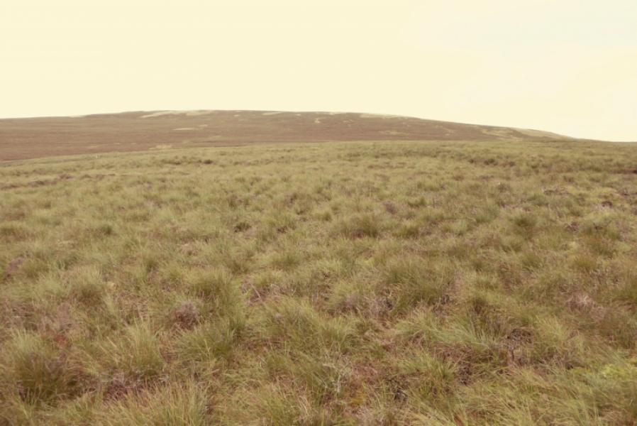
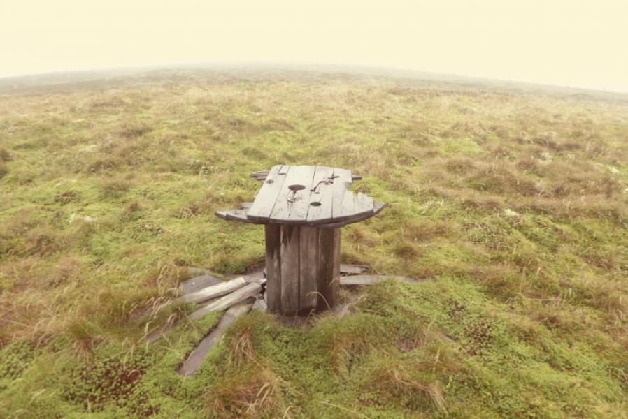
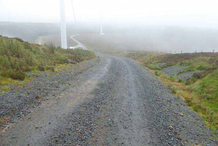
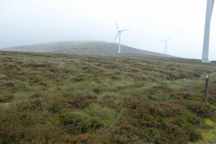
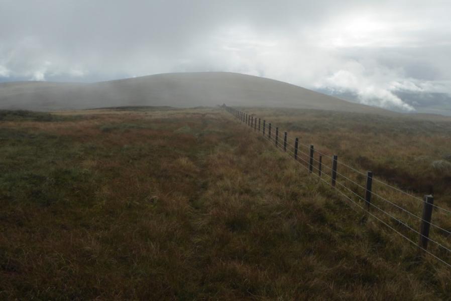
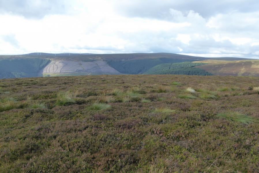
(2) Follow the fence on the right as the summit was approached. This goes SSW then SW along Long Edge. Do not follow the only path on the ground which follows some old fence posts and goes more to the S from the trig point. It is hard work along Long Edge but, in about 1.5 km, reach the obvious dip called King's Road Nick. The wind farm starts on the opposite side of the dip and it is easier to use the vehicle tracks than to continue along the fence although this will still be in sight much of the way. Stay with the track, passing Emily Bank (steep ascent on track then slight descent) then reaching the highpoint of the track after another ascent. On 16/9/2017, the turbine on the track seemed to be the only one with a “blue box” below it. Bowbeat Hill is off to the right with the fence being about 60 m from the track. It is difficult to say exactly where the highest point is. It seems to be on a fence corner but there is no cairn so this is probably Bowbeat Hill, 626 m. Another possible high point is between the fence and the track where there is an old wooden cable reel.
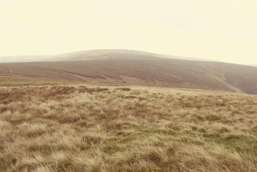
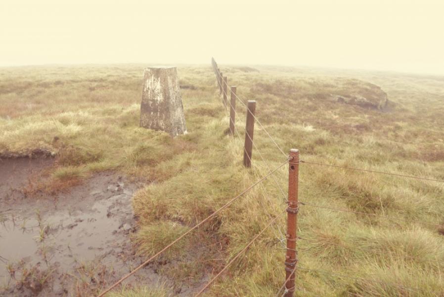
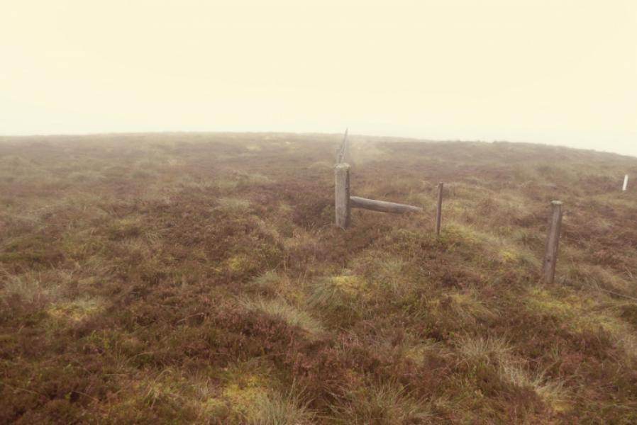
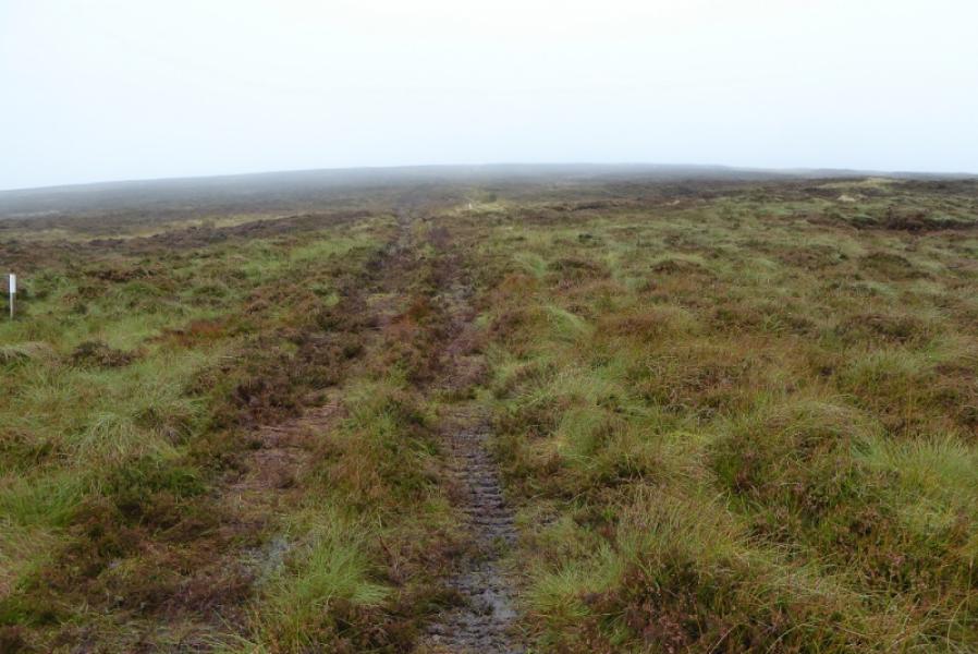
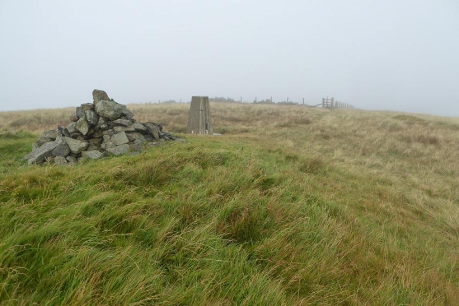
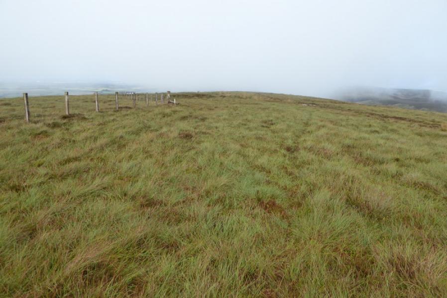
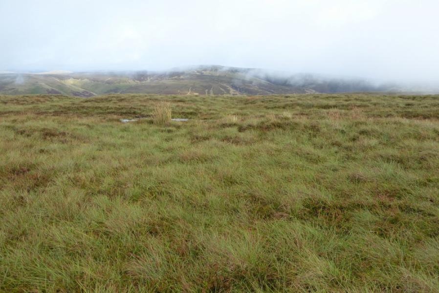
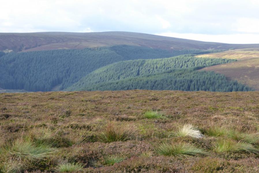
(3) Return to the track and continue to the control room at the end of the wind farm. A rough track leads ahead to a gate in the fence which came from Blackhope Scar. The fence now descends towards the forest so the next section is virtually featureless and needs careful navigation in mist. Continue on the ATV track until it fades away. In clear weather, the way ahead is obvious with the ridge fo Dundreich running SW to NE ahead. In mist, the overall direction is roughly NW and will cross a fence before the final ascent to the crest of Dundreich. A trig point, close to a fence corner, is the summit of Dundreich, 623 m.
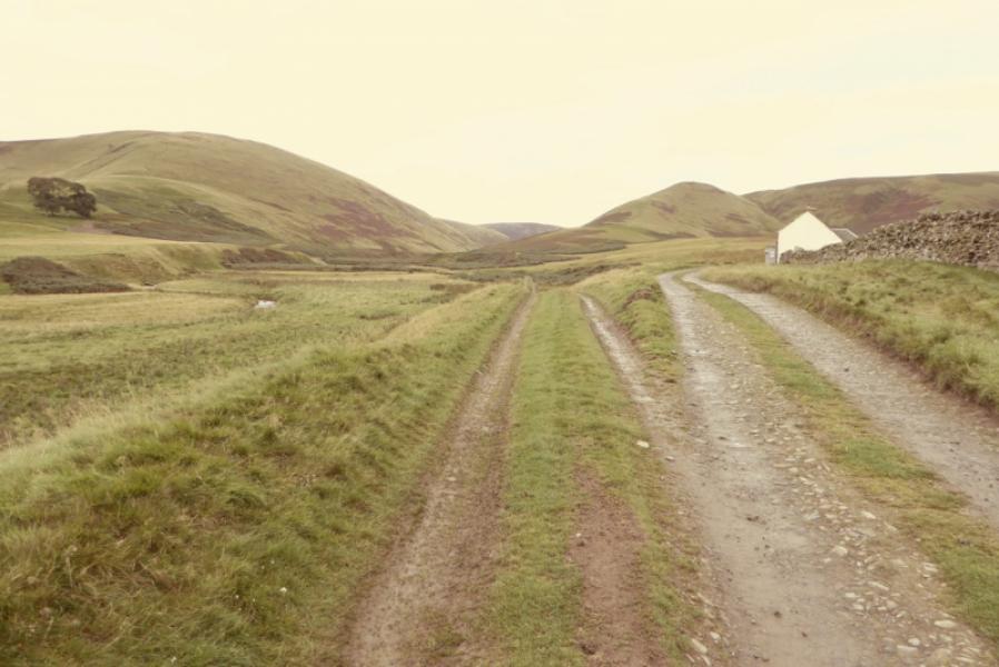
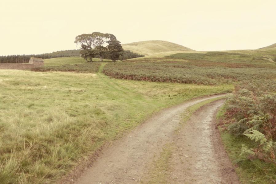
(4) One of the two fences meeting at the corner is a fence and a wall, the othe ris a double fence. Follow the double fence NE over a shallow col then up to Jefferies Corse whose summit appears to be unmarked. Continue following the fence which soon turns N. At a corner, leave the fence and follow an ATV track on the right which shadows the fence for some distance. Lower down, the track meets a wall where it turns right and descends to the glen a short distance to the N of Gladhouse Cottage from where the outward route can be retraced.
Notes
(a) This walk took place on 16th September, 2017, and on 4th October, 2002, by a similar route.
Photos - Hover over photo for caption. Click on to enlarge. Click on again to reduce.