Get Lost Mountaineering
You are here: Scotland » 00 Galloway and the Borders » Moorfoot Hills
Windlestraw Law, Bareback Knowe & Whitehope Law from Blackhopebyre
Windlestraw Law, Bareback Knowe & Whitehope Law
from Blackhopebyre
Start/Finish
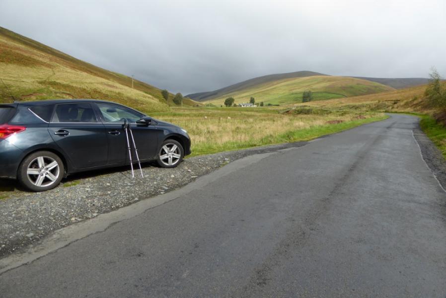
Small rough parking spot a few hundred metres south of Blackhopebyre Steading (EH44 6NN). This is on the B709 road from Middleton (A7) to Innerleithen about 10 miles south of Middleton and about 3 miles north of Innerleithen.
Distance/Time
12 km. About 5 – 6 hours.
Peaks
Windlestraw Law, 659 m, NT 371 431.
Bareback Knowe, 657 m, NT 362 420.
White Hope Law, 657 m, NT 330 445.
OS 73: Peebles, Galashiels & Selkirk. OS Explorer sheet 337: Peebles & Innerleithen.
Introduction
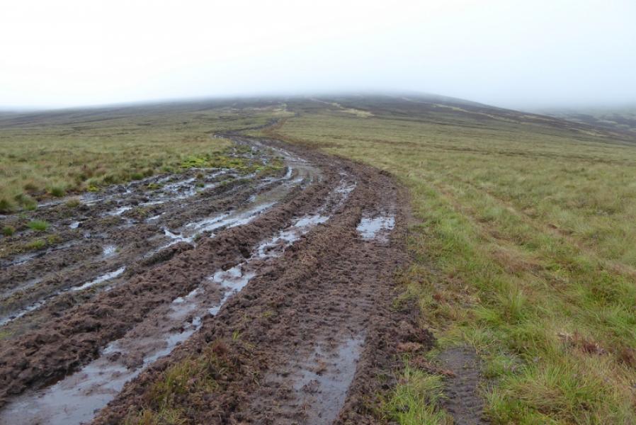
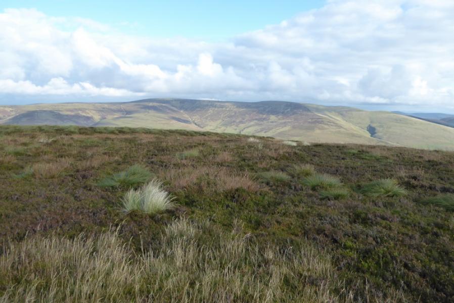
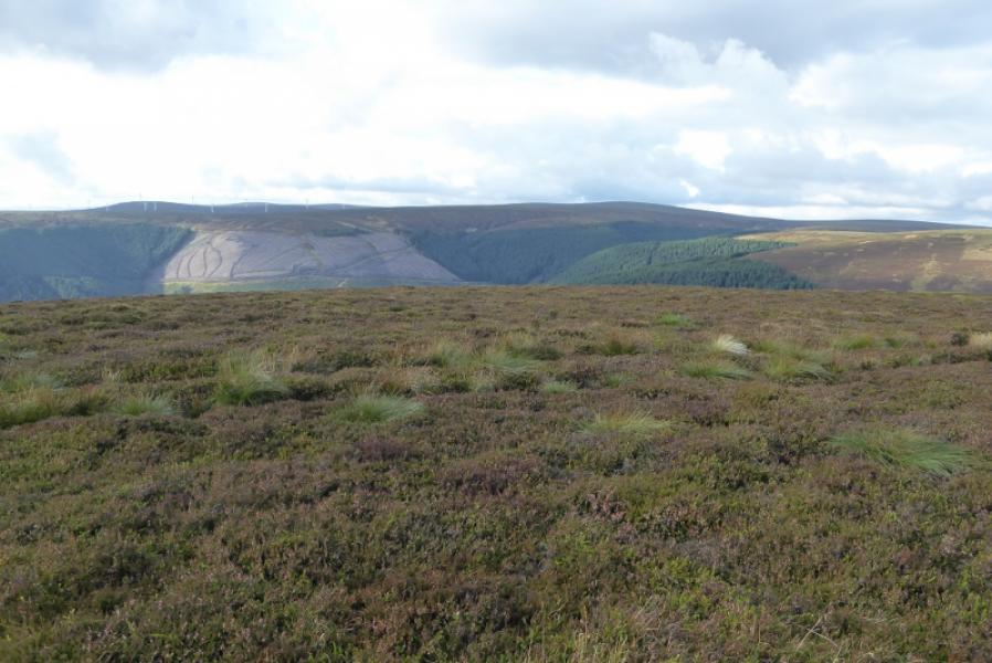
This is a high moorland walk with some good views on a clear day. Navigation is not too difficult on Windlestraw Law and Bareback Knowe as ATV tracks and fences are well placed. However, the track up Windlestraw Law and down Bareback Knowe are very boggy especially on the level sections. Whitehope Law is effectively a separate walk as it is across the road but is easily included here despite a re-ascent of over 350 m. Whitehope Law is actually a satellite Donald of Blackhope Scar but is about 6 km away from it along a rough ridge, which has to be reversed, so most consider it more sensible to ascend it along with Windlestraw Law. A barbed wire fence has to be crossed from the road to Whitehope Scar so it might be wise to take something to put over it for protection.
Route
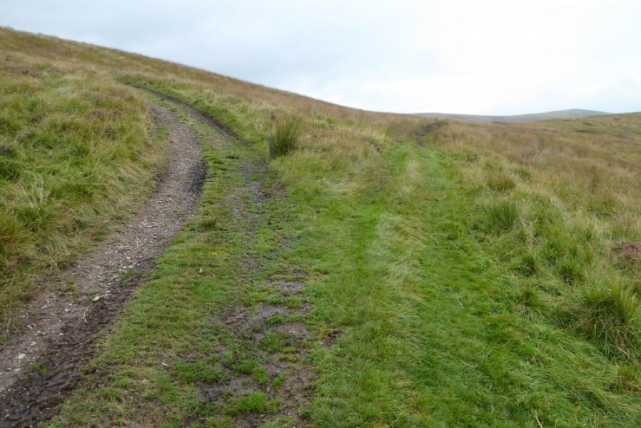
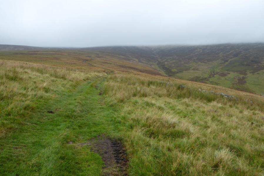
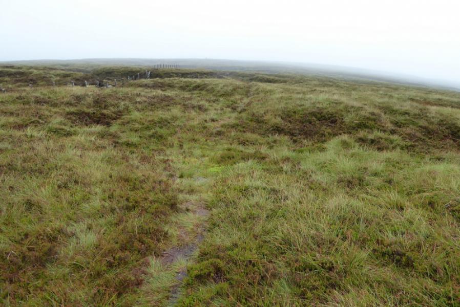
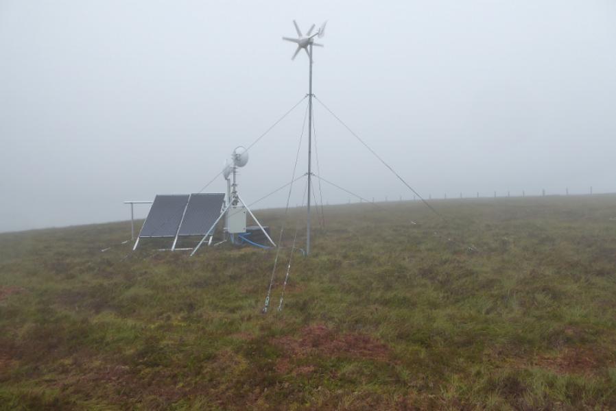
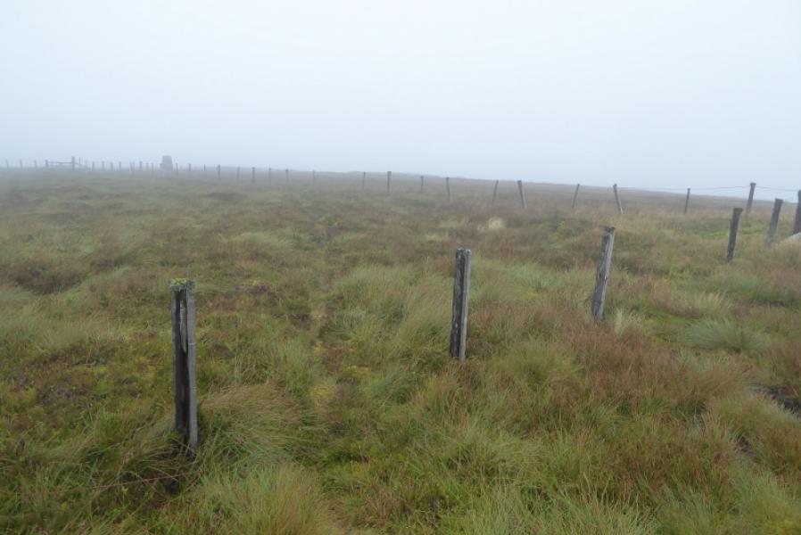
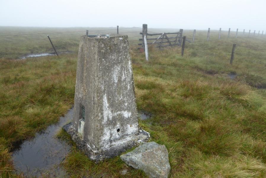
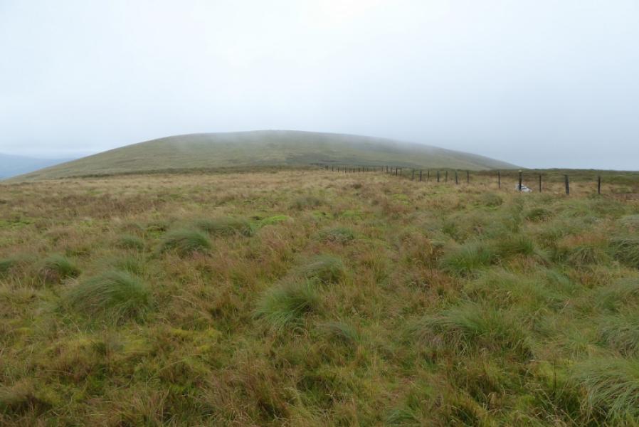
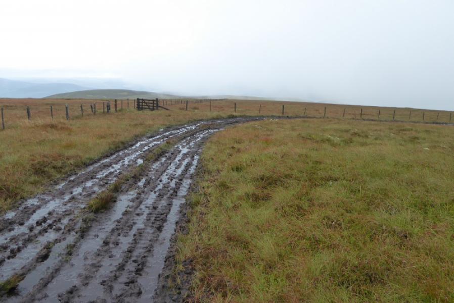
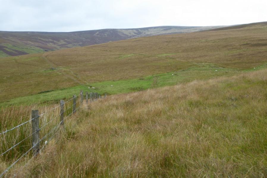
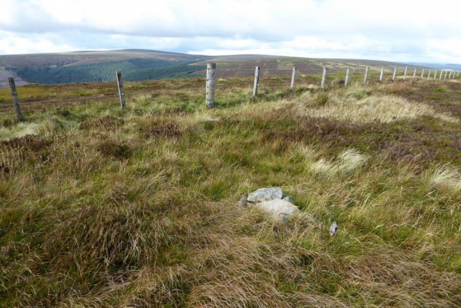
(1) Walk towards Blackhopebyre but take the track on the right (through a gate but not immediately obvious) which is just before the bridge just to the S of Blackhopebyre. Follow this track, roughly S. Soon it splits. Take the left fork which curves around onto the ridge of Glentress Rig and starts to follow it up. Initially the track is green and pleasant but soon becomes very boggy and one is forced off it. Higher up the ridge is called Wallet Knowe and curves around to merge with another idge and follow a fence. The track appears to peter out but the fence can be followed up, roughly E. Once flatter ground is reached, there is a wind and solar power generator off to the right before the fence meets another fence. Follow the fence going left and soon reach the trig point which marks the summit of Windlestraw Law, 659 m.
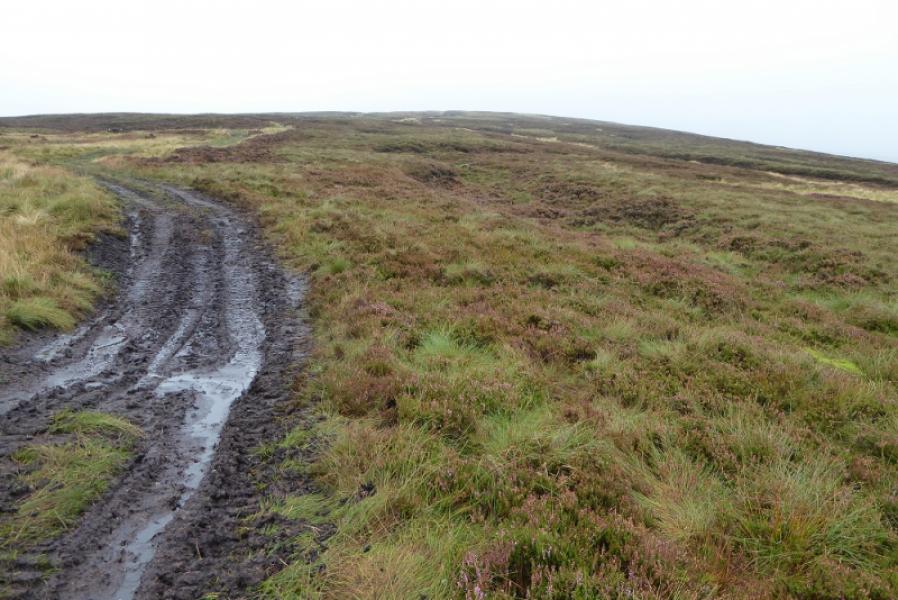
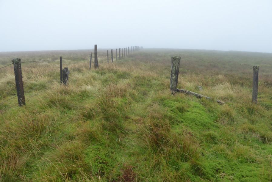
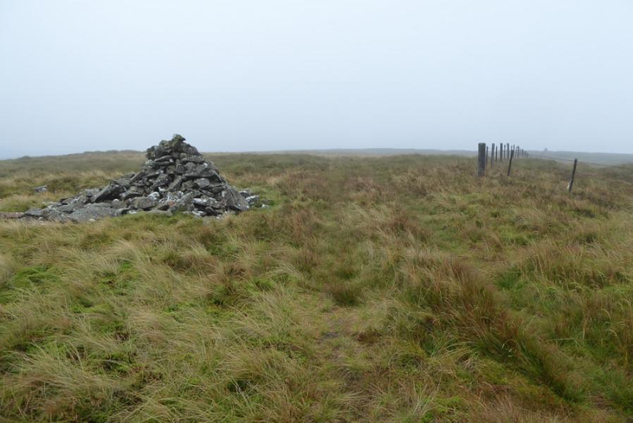
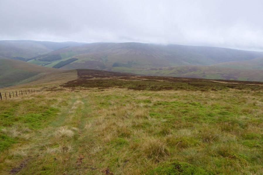
(2) Return to the fence junction and follow the fence which went right as you approached the summit. This goes SW over rough ground which seems better to the left of the fence. A long gradual descent is followed by a short ascent to a medium cairn which is the summit of Bareback Knowe, 657 m.
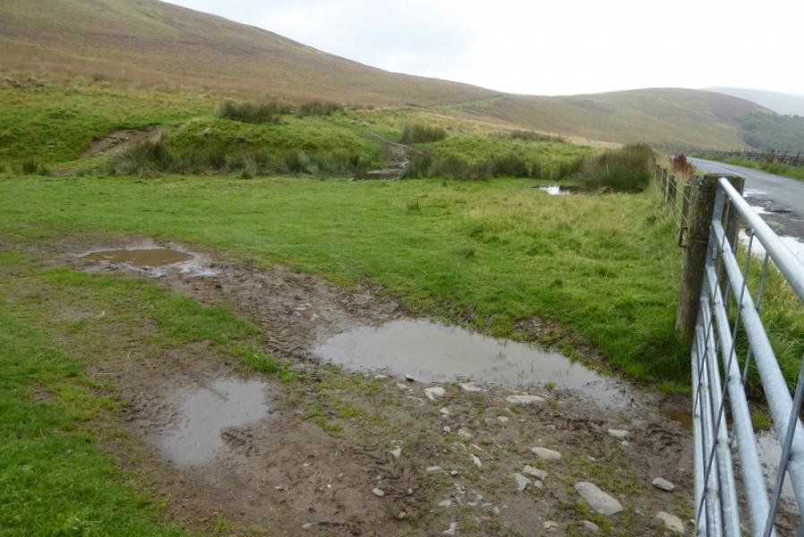
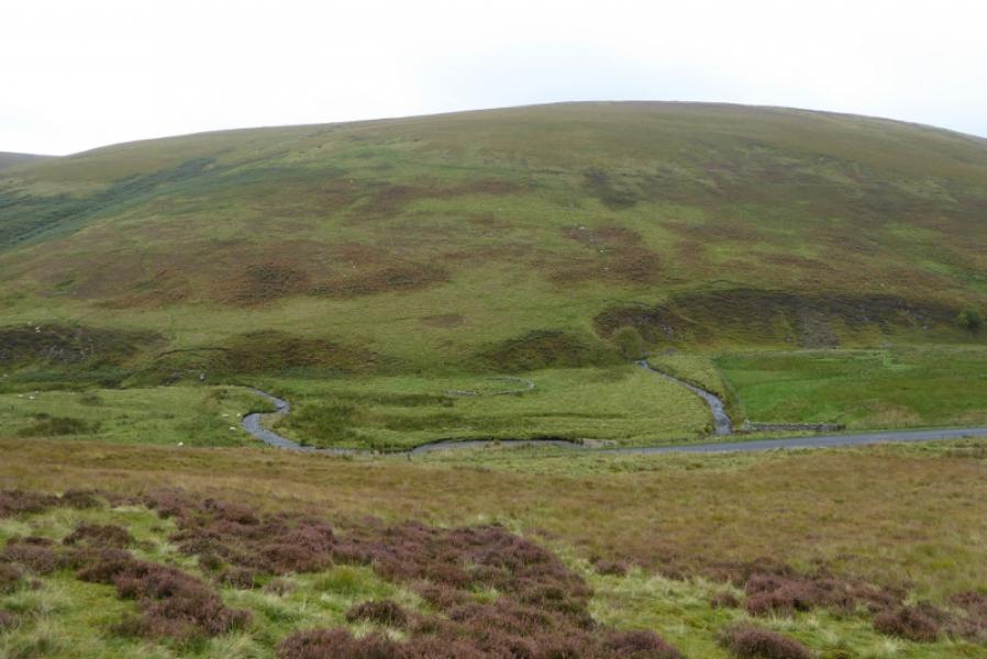
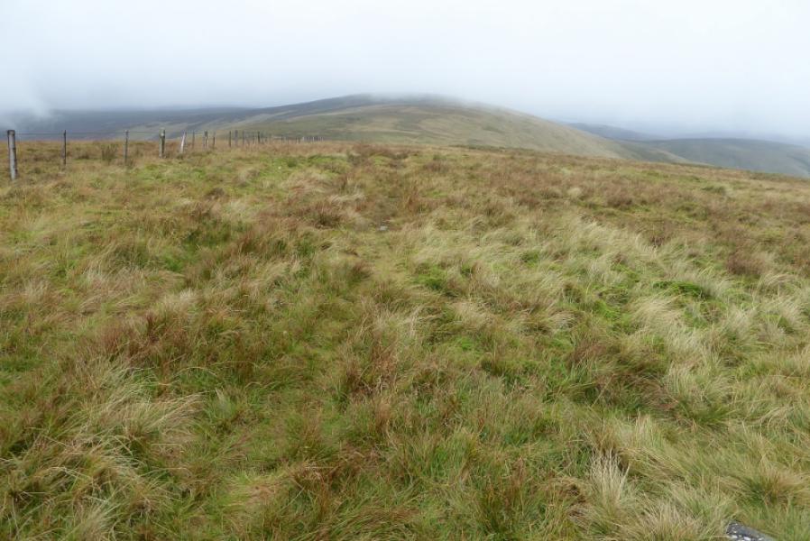
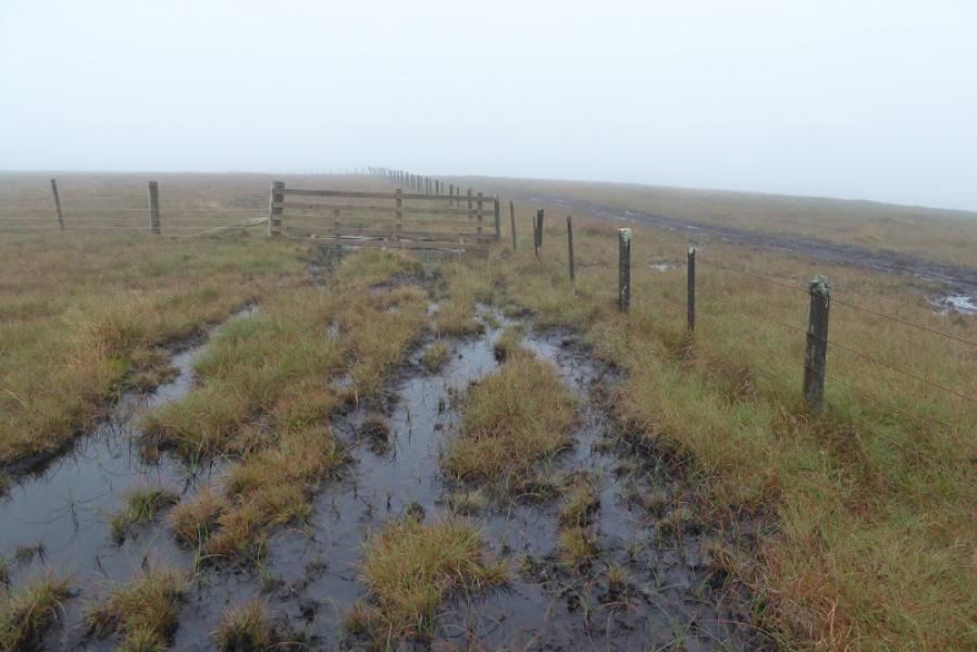
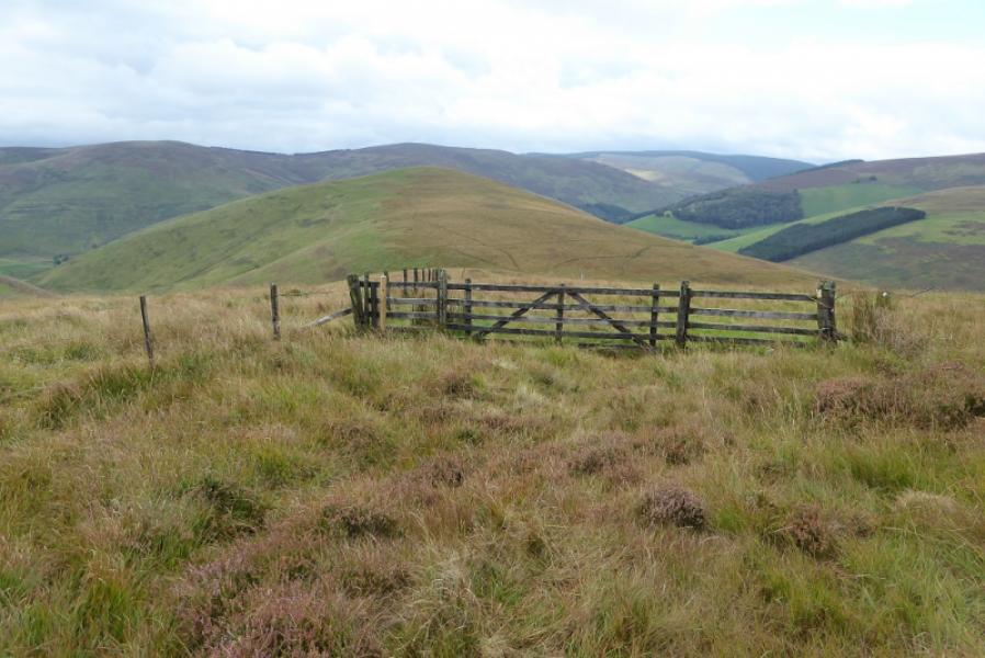
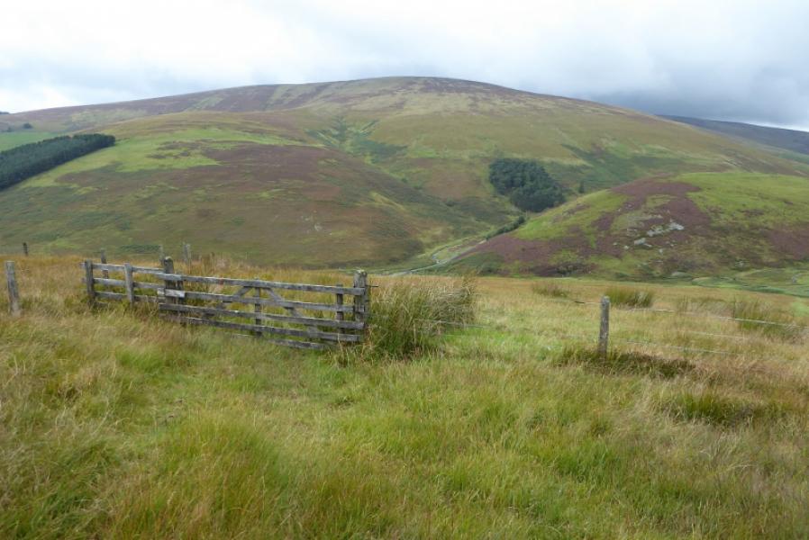
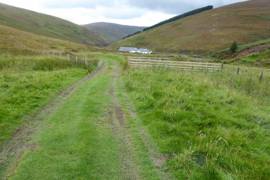
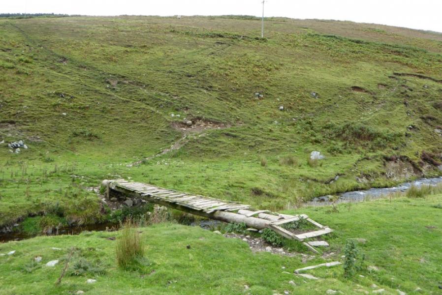
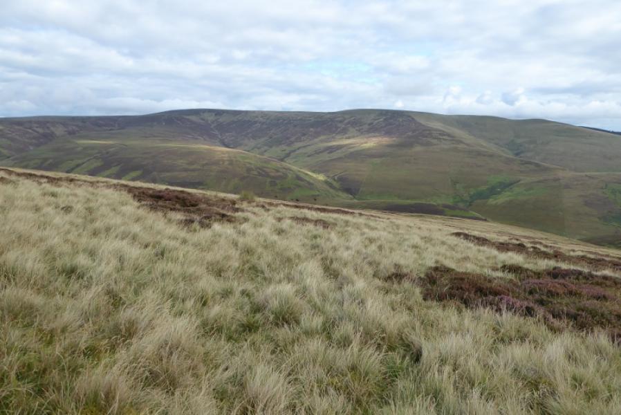
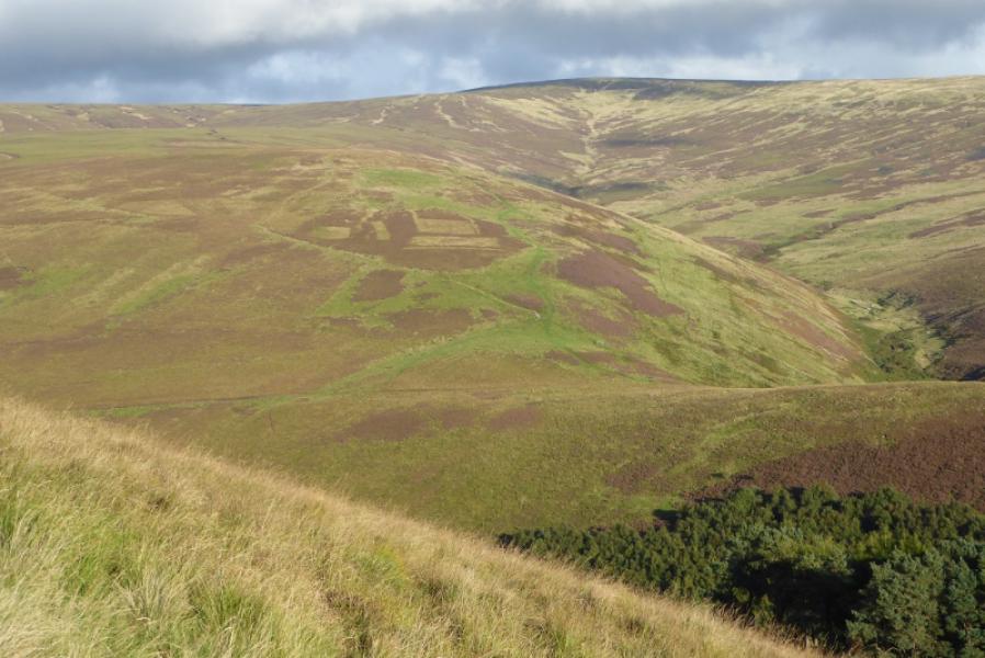
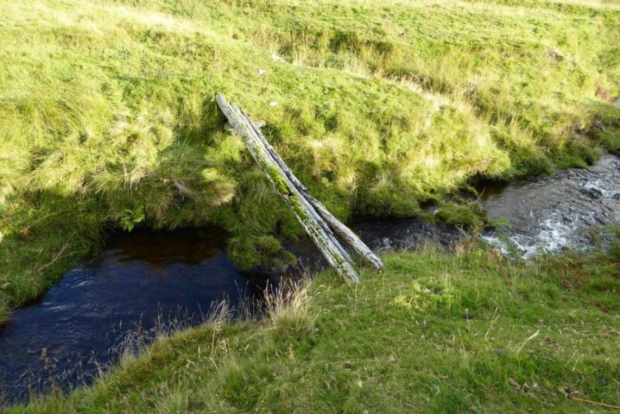
(3) Continue following the fence which goes right, turning WSW, down a broad ridge on similar ground as before. This fence actually goes all the way to the road. Lower down, it meets a fence coming in from the left then lower still one coming in from the right. By now a muddy ATV track will have developed on the right of the fence and this goes right at the fence on the right. Follow it all the way down the ridge to a gate in the col with Dod Hill. Either continue down or go right. Either route is a bit rough but going right leads down to a main track which goes to Glentress Cottage on the road. Walk down the road for about 250 m looking for a stone wall on the right at right angles to the road. Enter the field after this by climbing over the barbed wire fence then go the rough bridge across the river which is planks laid on poles or continue to a gate somewhat further then double back a little. Once across the bridge, ascend steeply up the bank using one of the many sheep tracks and continue up. The ascent is quite a slog and will be easier if you drift left towards the forest then pick a way up, crossing the obvious gully high up then continuing to the top where there is a fence on the crest and a tiny cairn, about three stones, which marks the summit of White Hope Law, 657 m. If it is clear you will see how far away Blackhope Scar is.
(4) It is best to reverse the ascent of Whitehope Scar to reach the bridge used earlier. Some guides refer to a pole bridge nearer to Blackhopebyre but this is now very unsafe to use and is just a few rotting poles. The line of descent to this pole bridge is also less pleasant than to the earlier bridge.
Notes
(a) This walk took place on 17th September, 2017, and on 6th October, 2002, by a similar route.
Photos - Hover over photo for caption. Click on to enlarge. Click on again to reduce.