Get Lost Mountaineering
You are here: Scotland » 01 South of Oban to Stirling and Fife » Dunoon, Lock Eck and Lochgoilhead
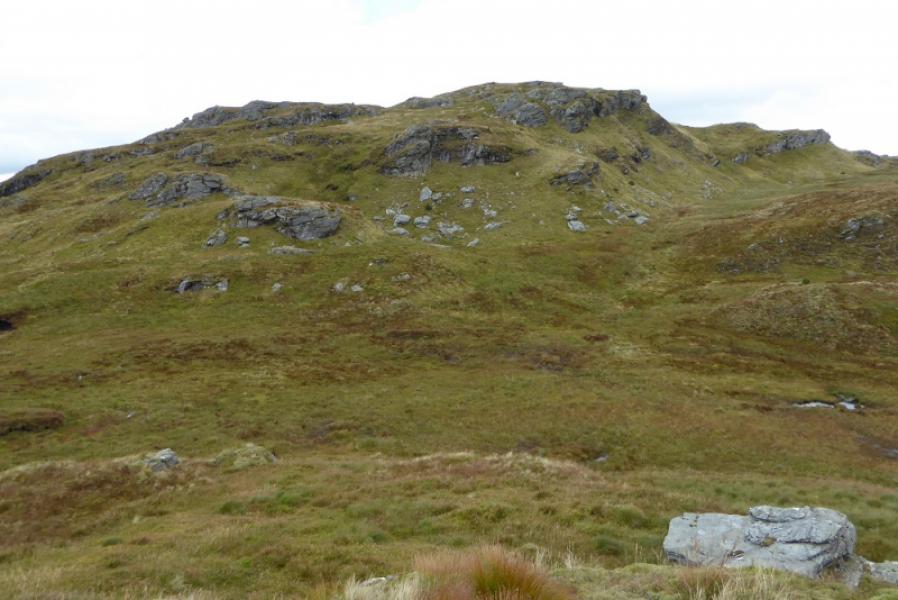
Beinn Bheag from Benmore Botanic Gardens
Beinn Bheag from Benmore Botanic Gardens
Start/Finish
Benmore Botanic Gardens car park (free on 19/9/17 which has the postcode PA23 8QU for those with Sat Nav. This is about 7 miles north of Dunoon on the A815 or about 20 miles south of Cairndow at the junction of the A815 and A83. Note that if coming over the Rest and Be Thankful pass from Arrochar that this road can be closed by landslips or winter conditions so check ahead.
Distance/Time
20 km. About 7 hours.
Peaks
Beinn Bheag, 618 m, NS 125 932. OS Sheet 56: Loch Lomond & Inverary.
Introduction
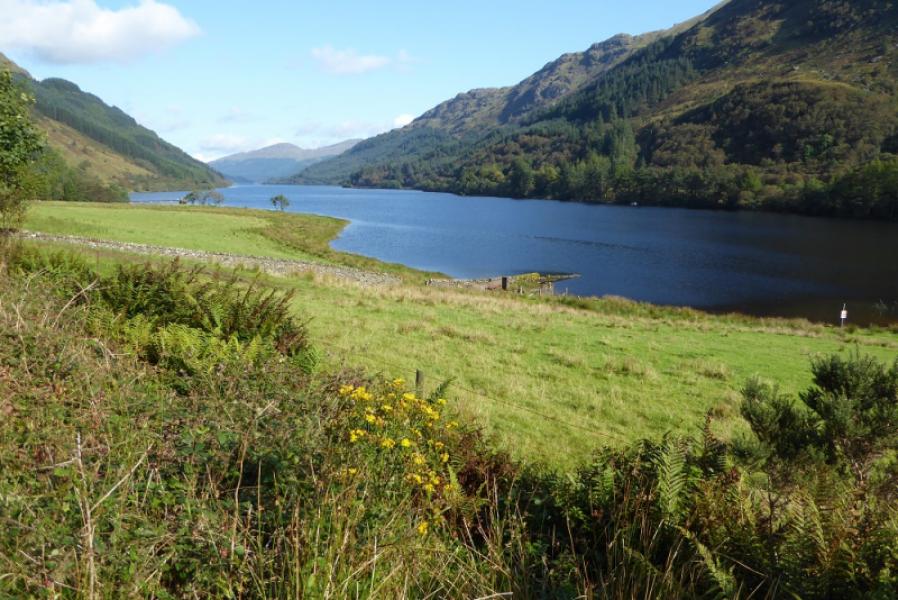
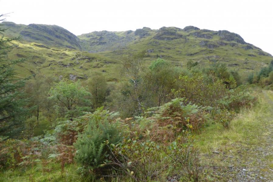
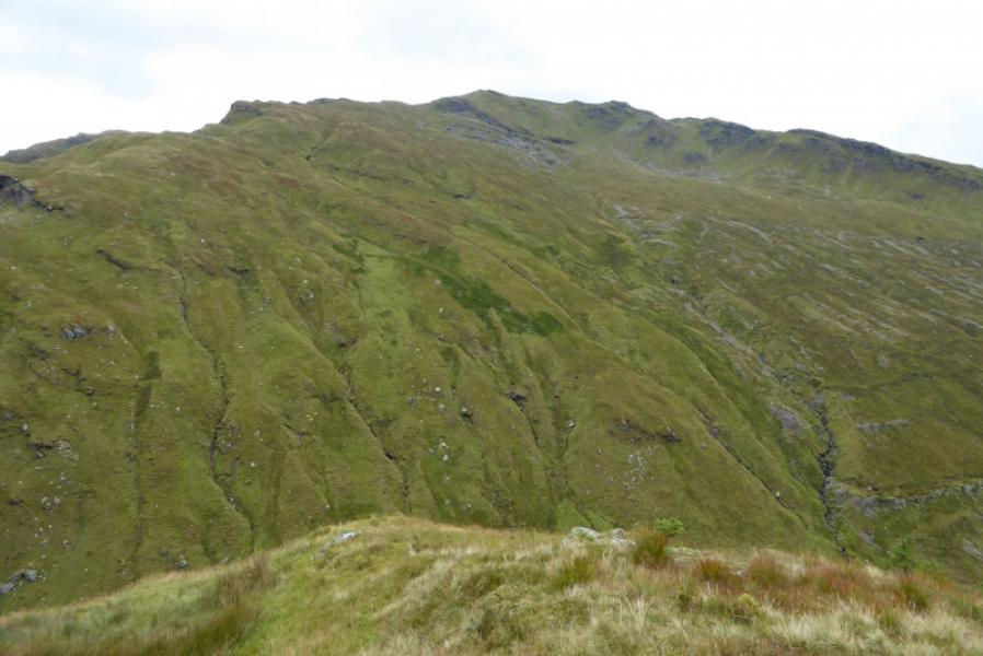
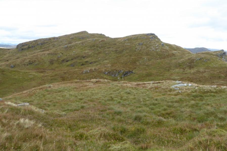
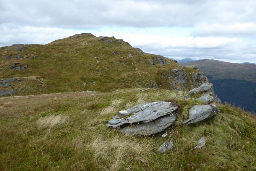
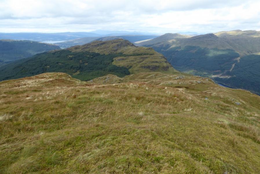
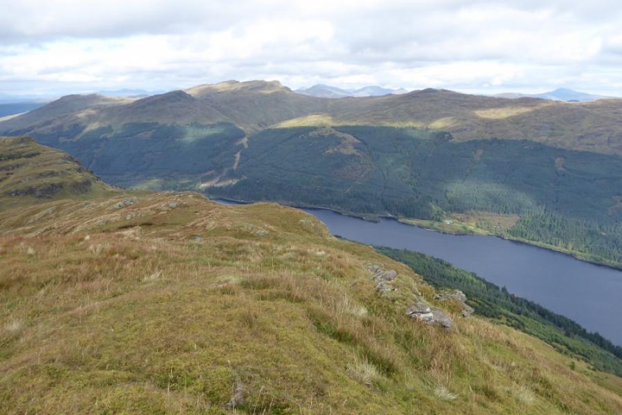
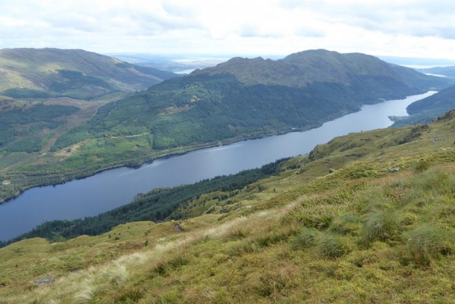
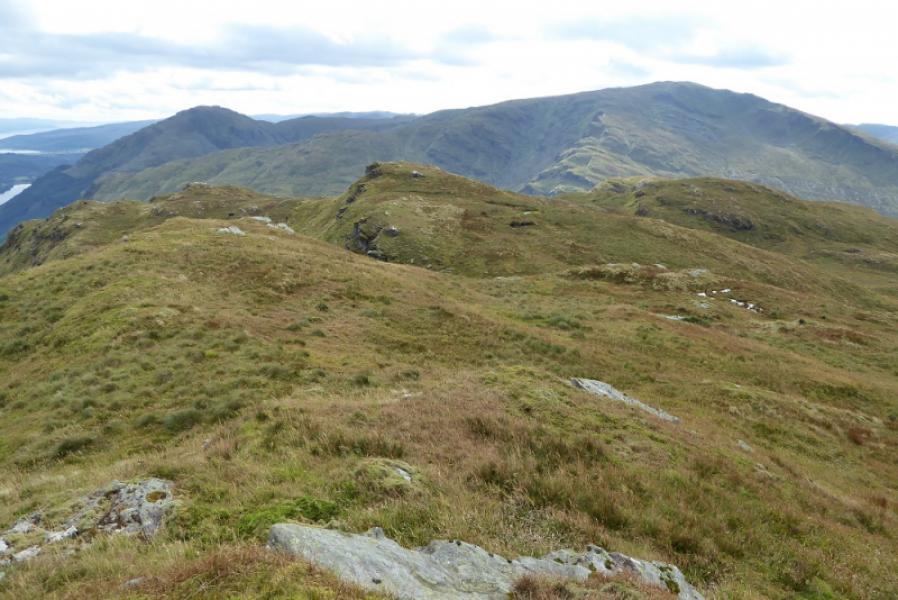
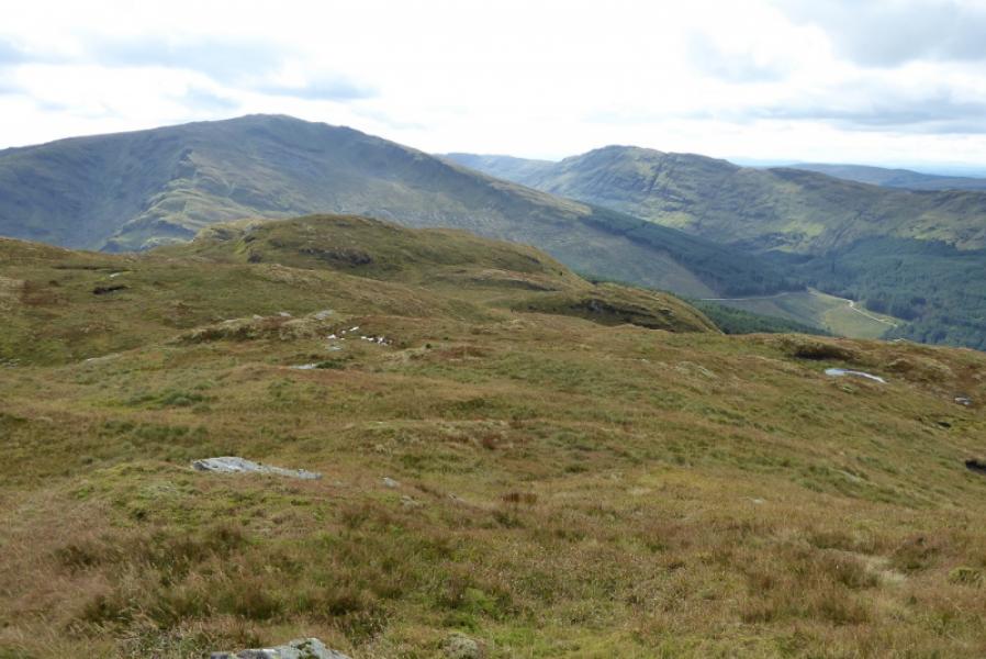
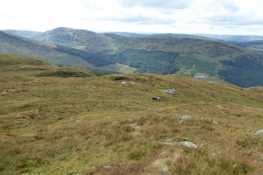
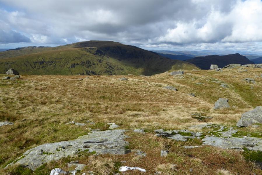
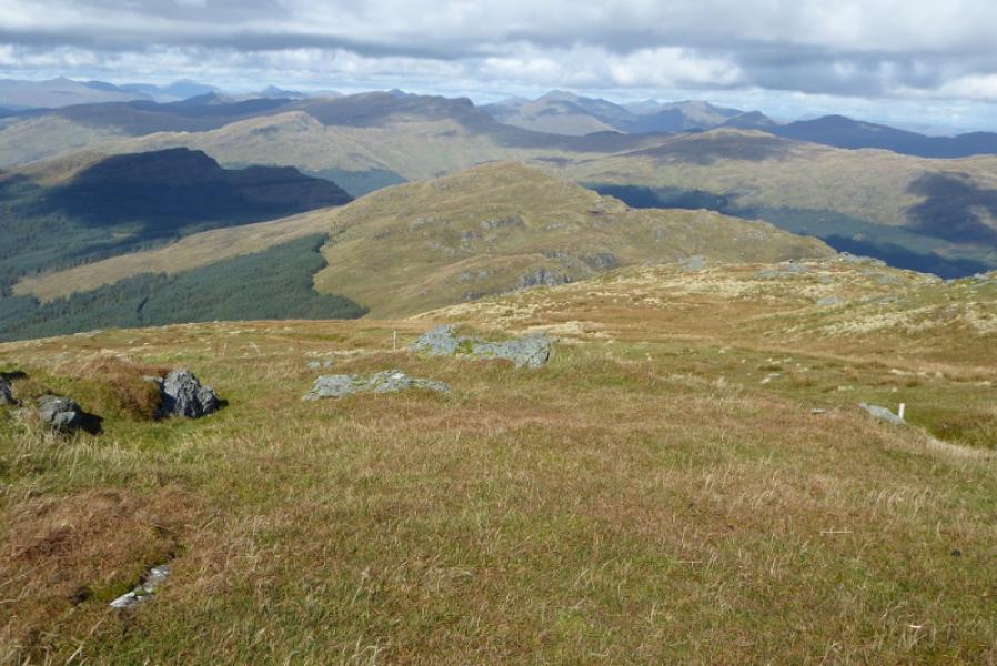
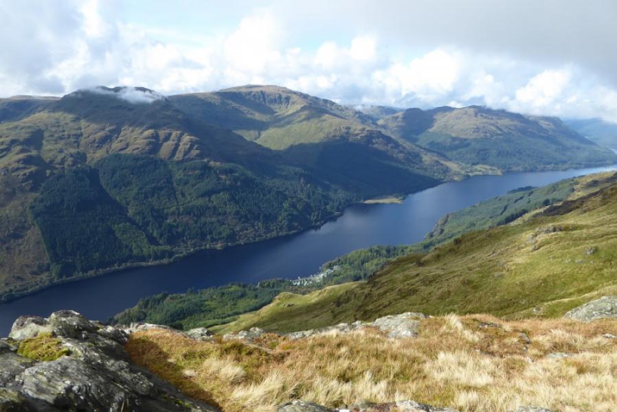
Beinn Bheag dominates the northern end of Loch Eck on its western side. Like many mountains in the area, it is very rocky but all rock can be avoided. It can be reached by the track along Loch Eck and the one up Bernice Glen which is about 8 km each way. From the track to the Bealach Bernice is quite rough in places and there is, initially, a steep climb from the bealach to the crest of Beinn Bheag. There seem to be no paths on Beinn Bheag not even near to the summit. On a clear day, there are excellent views to Beinn Bheula, Beinn Ruadh, Beinn Mhor and Creag Tharsuinn.
Route
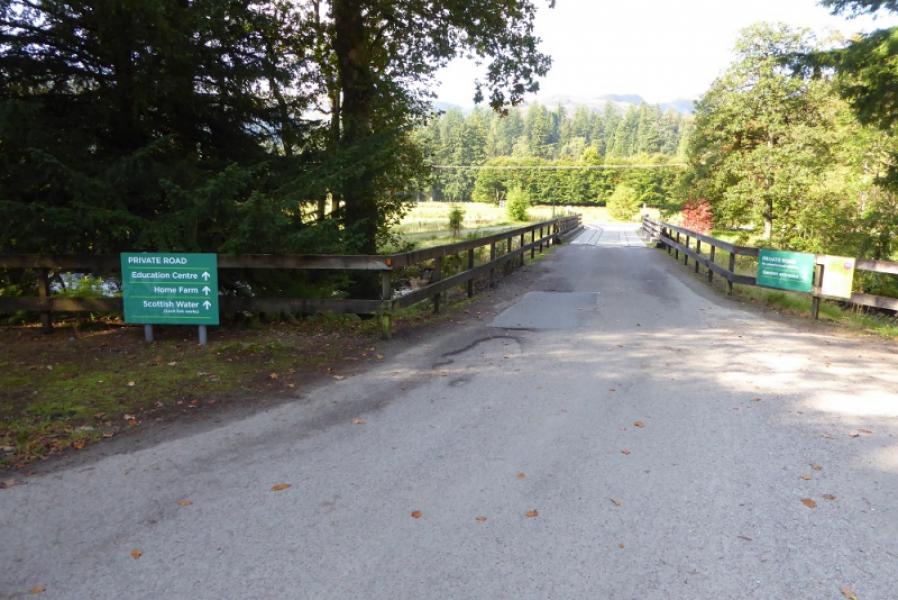
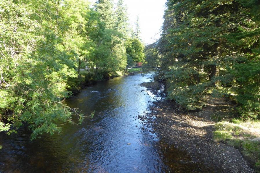
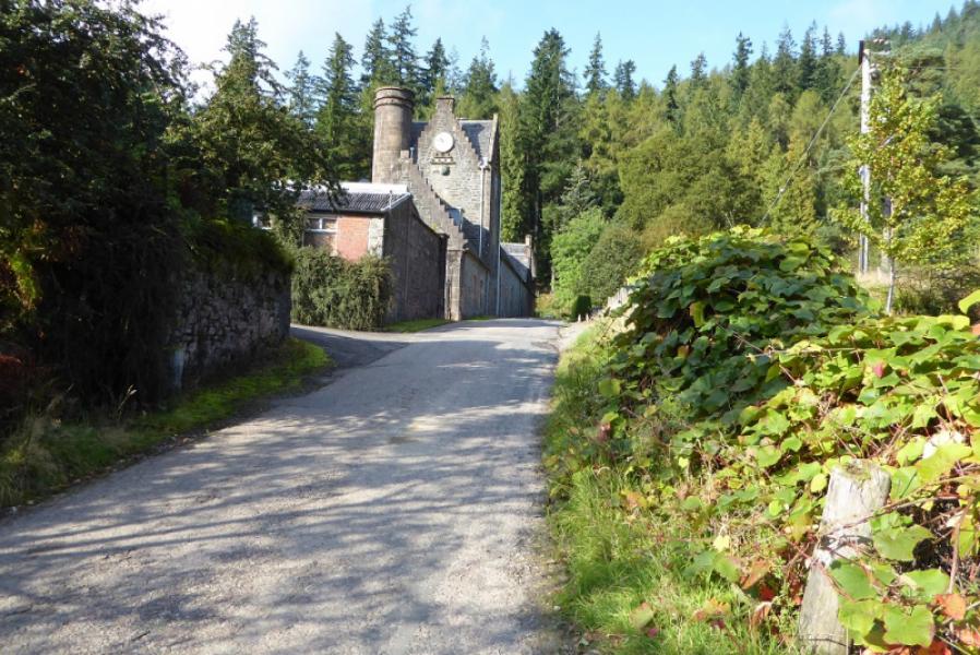
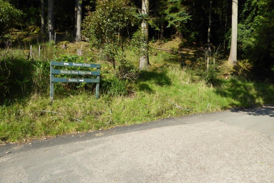
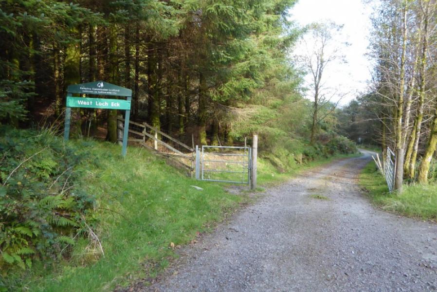
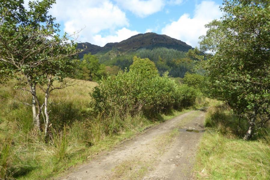
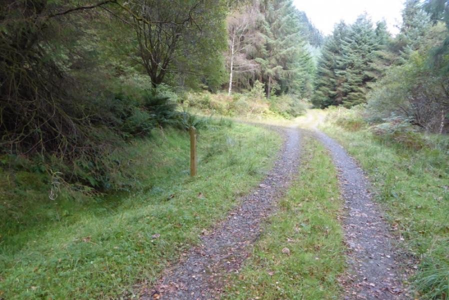
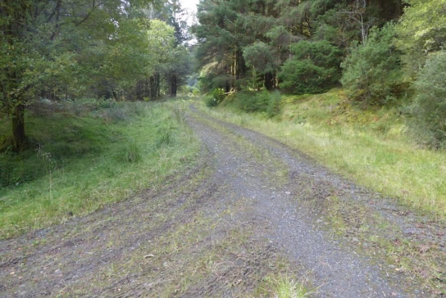
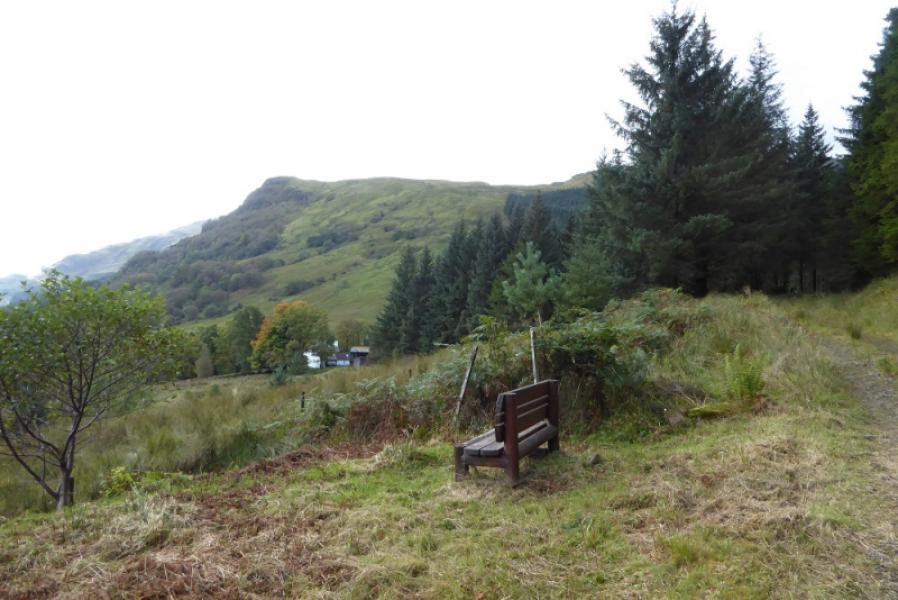
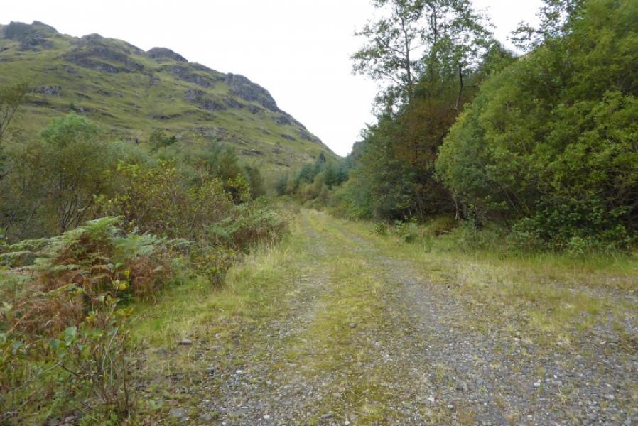
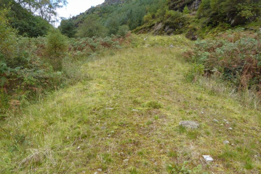
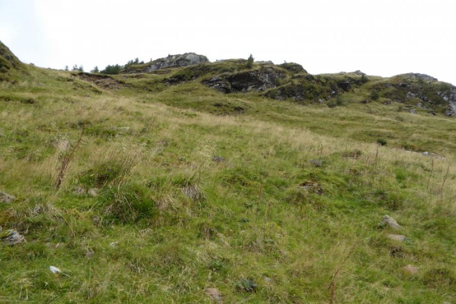
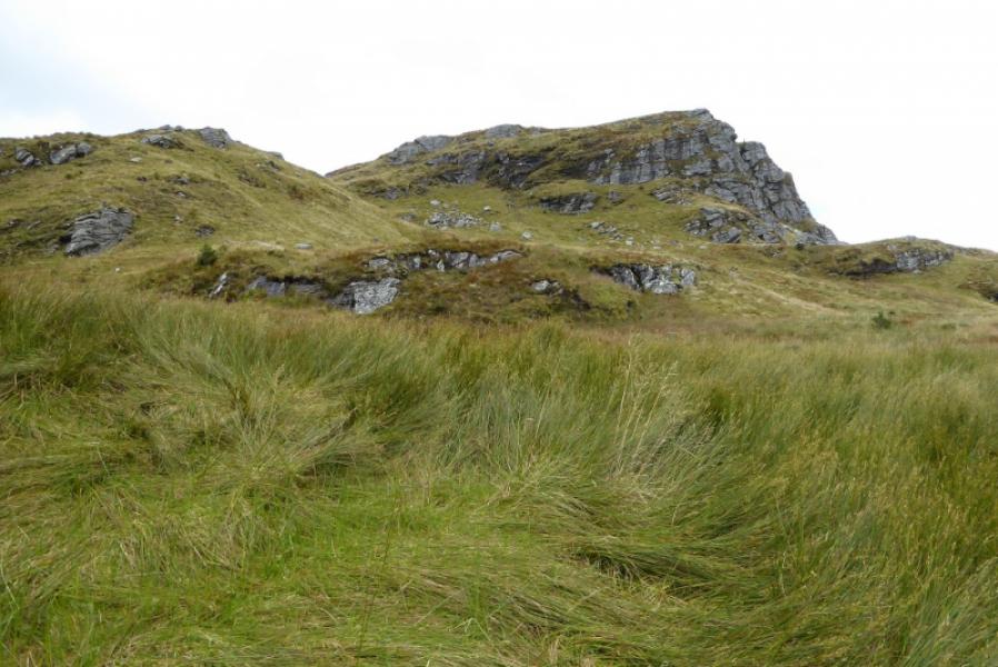
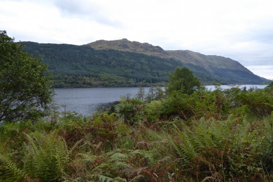
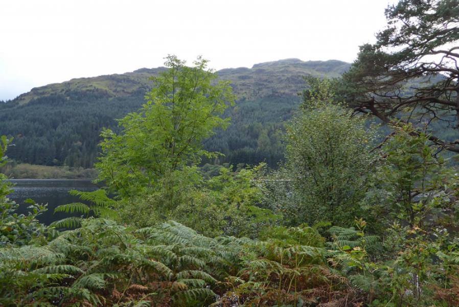
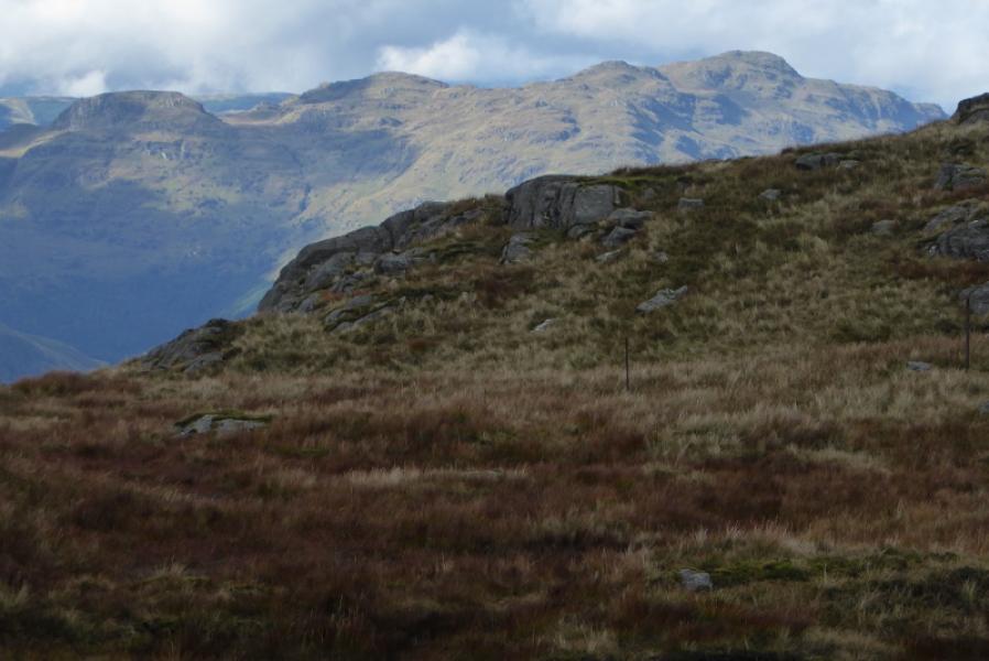
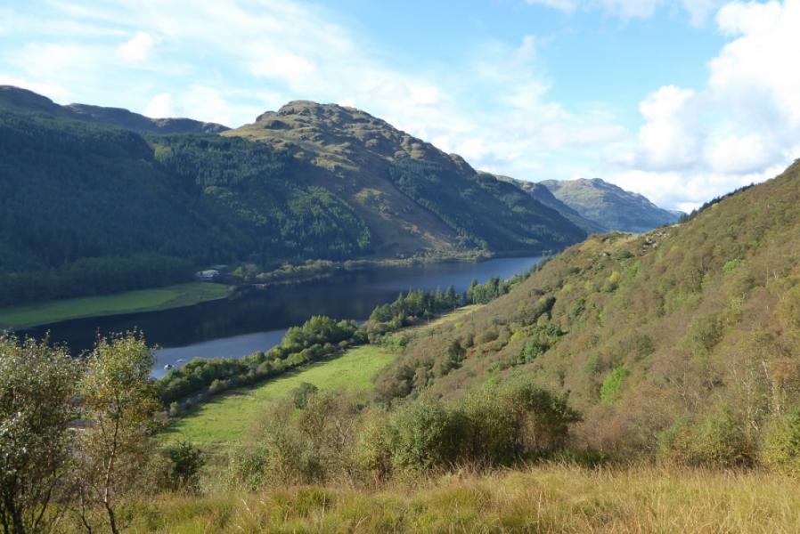
(1) Walk out the back of the car park signed for the Education Centre. Cross the bridge then turn right. Follow the tarmac track, roughly N. When it turns left, pass the clock tower after which the track goes right and N again. Continue to the end of the tarmac track then continue ahead on a normal track. After about 6 km, ignore a track on the left doubling back. Soon after, ignore the track going left to Bernice. Continue and enter the forest through a gate. About 100 m further, the track up Bernice Glen goes off as a reverse left fork. Follow this up. It goes a little further than is shown on older maps. Almost at its end, it goes left and crosses a stream. From here to the Bealach Bernice is quite rough especially to begin with. Despite it looking easier to start ascending before crossing the stream, that route is now overgrown with silver birch so it is probably easier to go up the side of the deer fence after the stream. Gradually a path forms although it is rough again near where a low fence is crossed higher up. Continue into the bealach and look for a “fence gate”. Go through or over then start picking a way up the steep slopes with crags high up on the right. The crags are most easily avoided to the left and the gradient soon becomes less steep. Continue up. There are several minor tops which can be skirted on the left. Eventually the summit crest is reached and the highest point has a very tiny cairn which is not very obvious but this is the summit of Beinn Bheag, 618 m. This would not be obvious in mist.
(2) Retrace the outward route.
Notes
(a) This walk took place on 19th September, 2017, and on 23th February, 2003, from Glenbranter to the north then taking the Loch Eck track for about 3 km then picking a way up on to the crest. This is a shorter route but much rougher from glen to crest.
(b) It is possible to cycle from the car park to the top of the track in Bernice Glen which may save up to about 2 hours.
Photos - Hover over photo for caption. Click on to enlarge. Click on again to reduce.