Get Lost Mountaineering
You are here: Scotland » 00 Galloway and the Borders » Pentland Hills
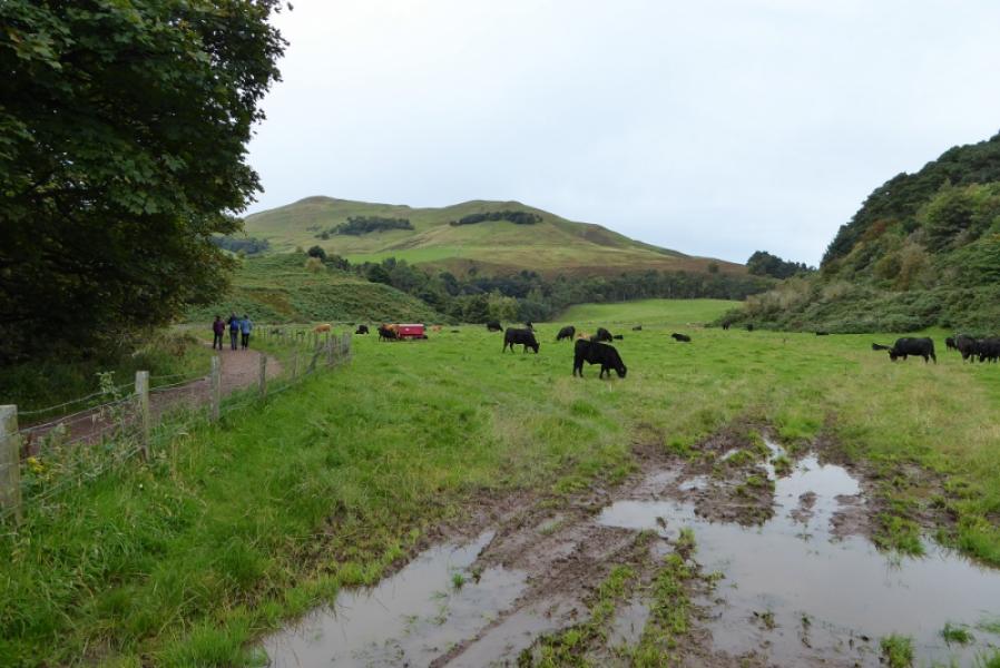
Scald Law Ridge from Flotterstone near Penicuik
Scald Law Ridge from Flotterstone near Penicuik
Start/Finish
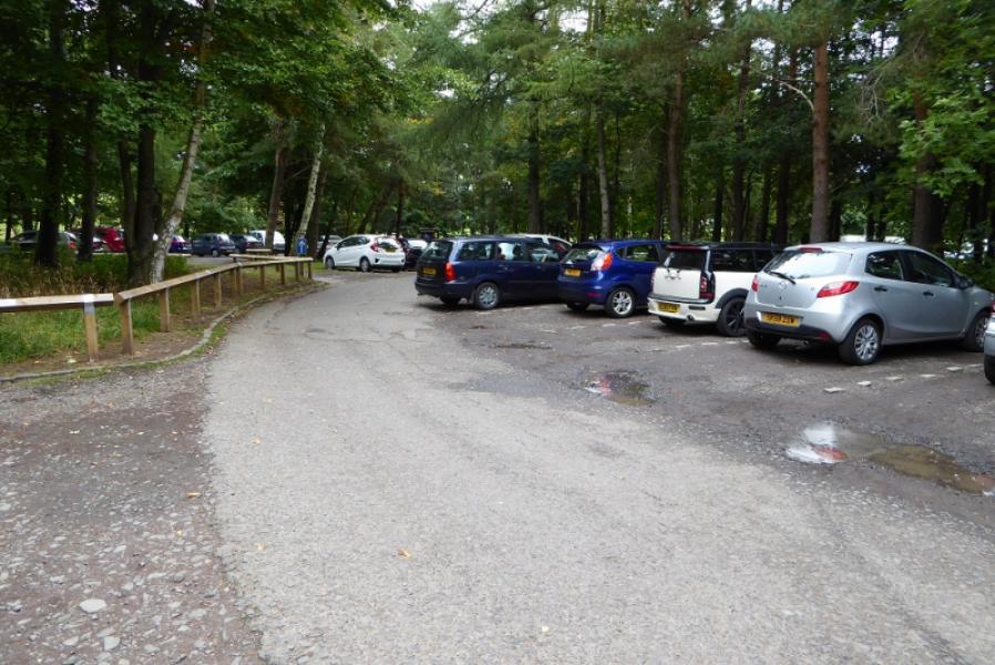
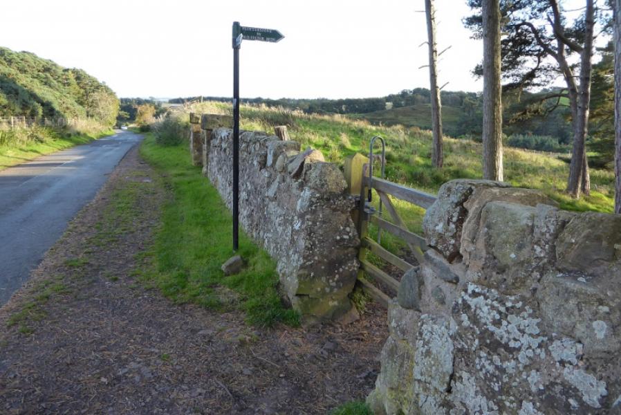
Car park at Flotterstone which is up a minor road off the A 702 about 3 miles south of the Edinburgh by pass. The minor road passes the Flotterstone Inn (EH26 0PP) just before the car park which is strictly free but users are asked to make a voluntary contribution: £2 in 2017. Flotterstone is about 2 miles north of Penicuik.
Distance/Time
15 km. About 5 – 6 hours.
Peaks
Turnhouse Hill, 506 m, NT 212 627
Carnethy Hill, 573 m, NT 204 619.
Scald Law, 579 m, NT 192 611.
East Kip, 534 m, NT 182 608.
West Kip, 551 m, NT 178 607.
OS 66: Edinburgh, Penicuik & North Berwick. OS Explorer sheet 344: Pentland Hills.
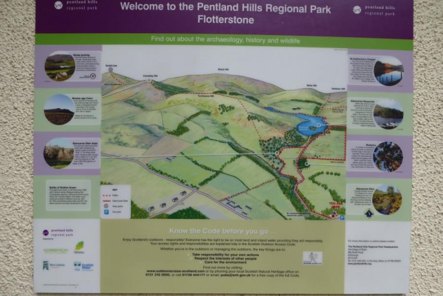
Introduction
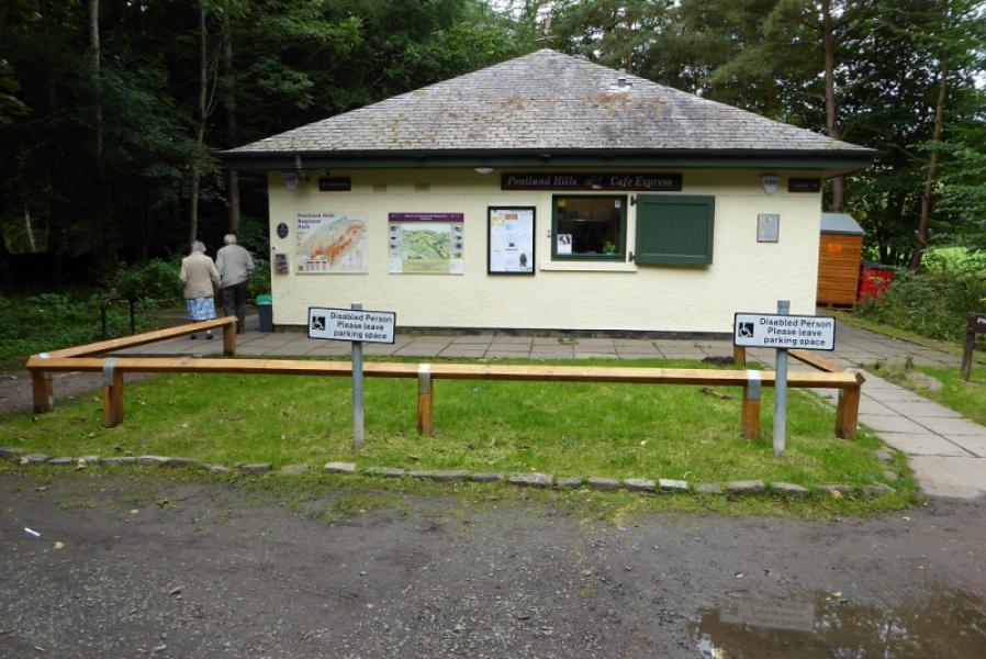
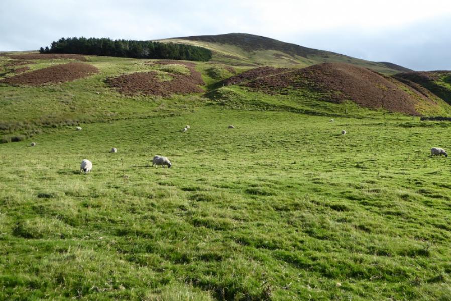
This is a high moorland walk with very good views on a clear day. The hills are very popular and parking may be awkward on busy days. There is a cafe and toilets in what was the old visitor centre sited on one side of the car park. The route is mainly on good paths, tracks and restricted roads. There are significant gaps between four of the five hills so there is more ascent than one might expect. Some of the ascents are fairly steep.
Route
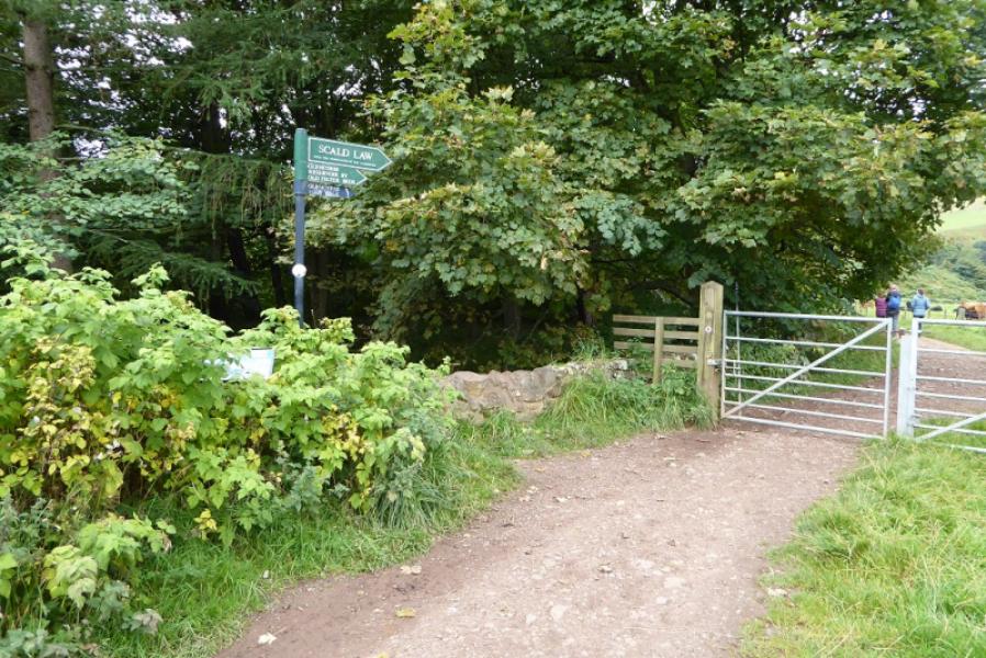
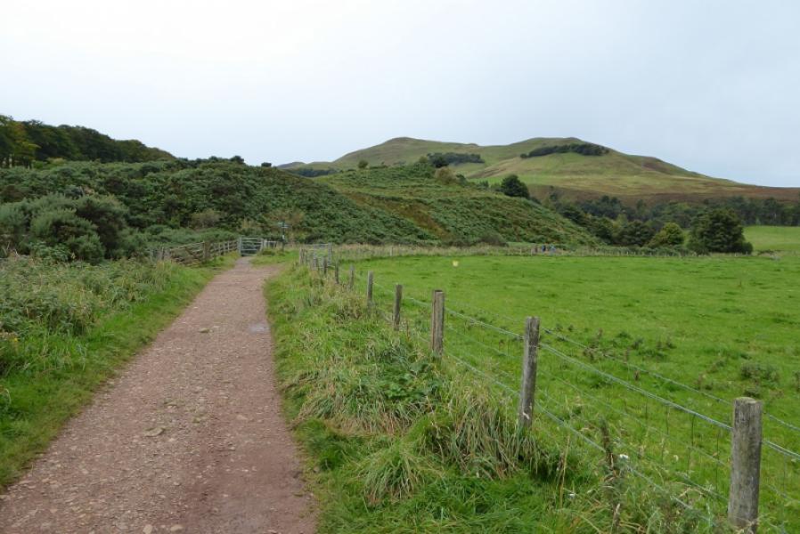
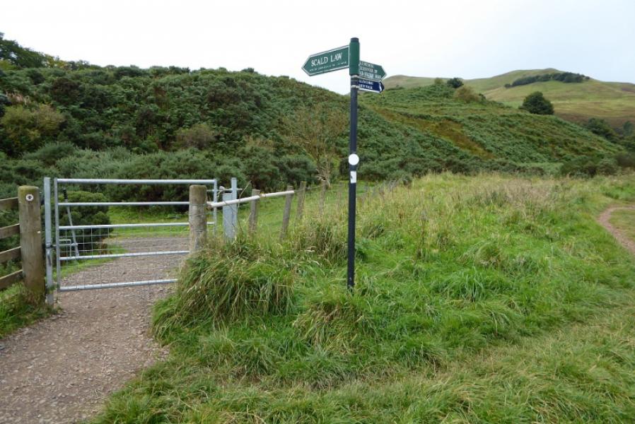
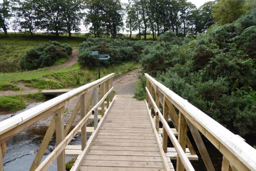
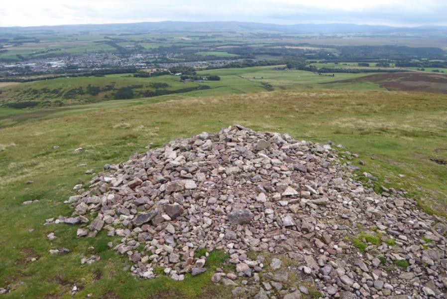
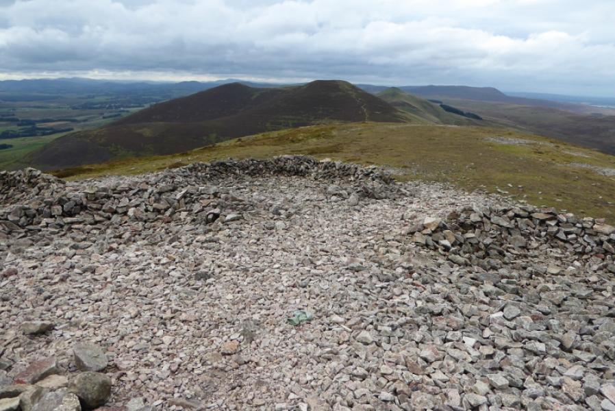
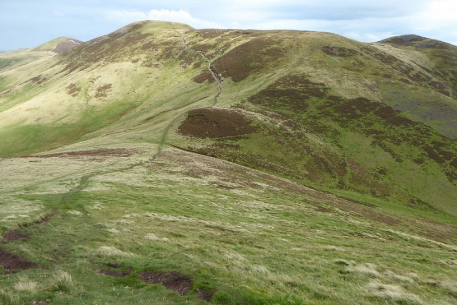
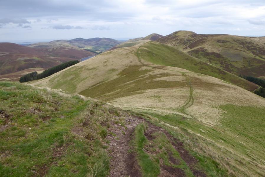
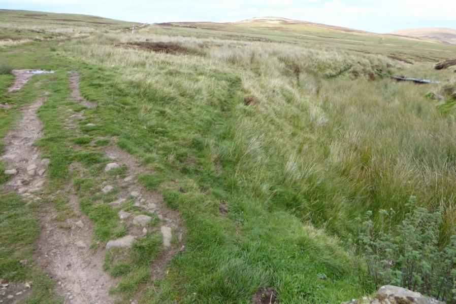
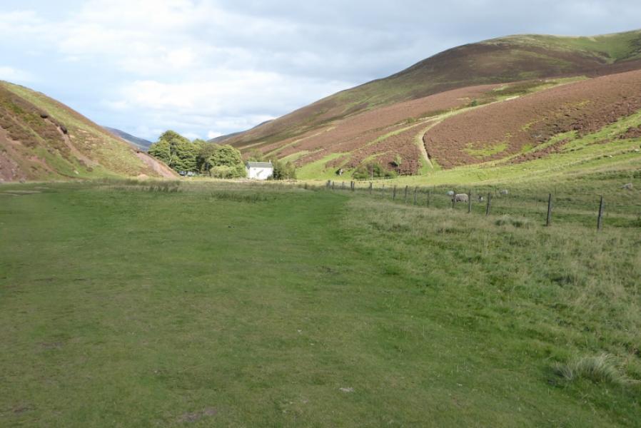
(1) Walk up the minor road beside the cafe/toilets using the separate footpath. Continue but soon leave the road for a path/track on the left signed for Scald Law. When this track bends right for the Old Filter beds, go left, signed for Scald Law, and cross the bridge. The path starts to climb almost immediately, faairly steeply, before easing then steepening again. The path bypasses the first top which could easily be visited before reaching the main flat top where there is a large but very, very low cairn marking the summit of Turnhouse Hill, 506 m.
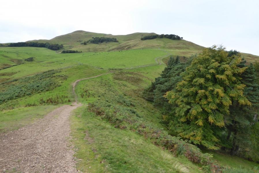
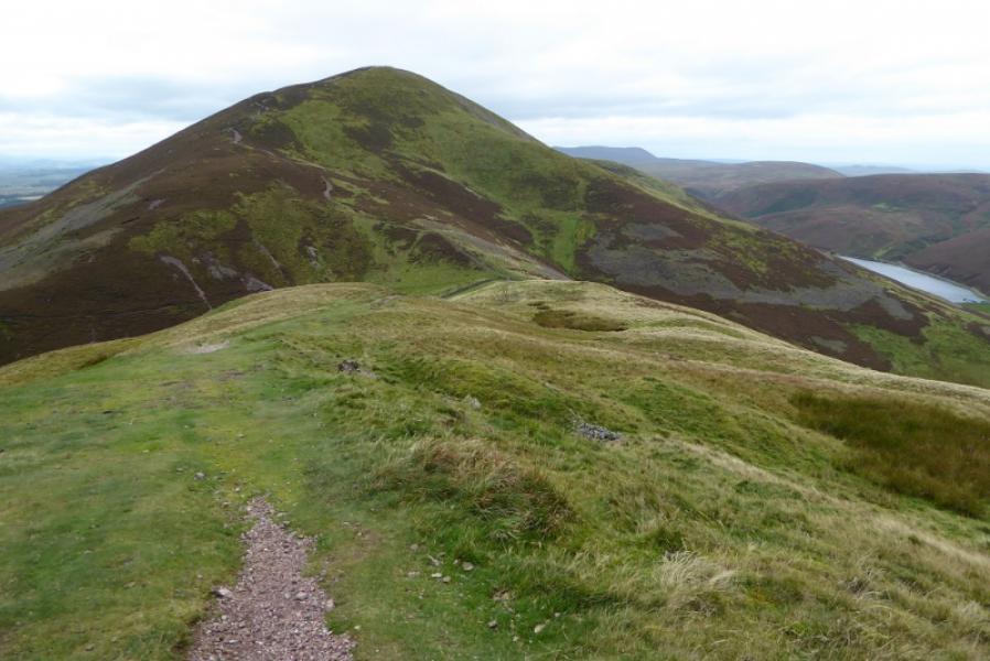
(2) Continue along the path, roughly SE, losing significant height to reach the wall in the col. Continue up the other side, again fairly steep, to reach the summit plateau where a large wide cairn marks the summit of Carnethy Hill, 573 m.
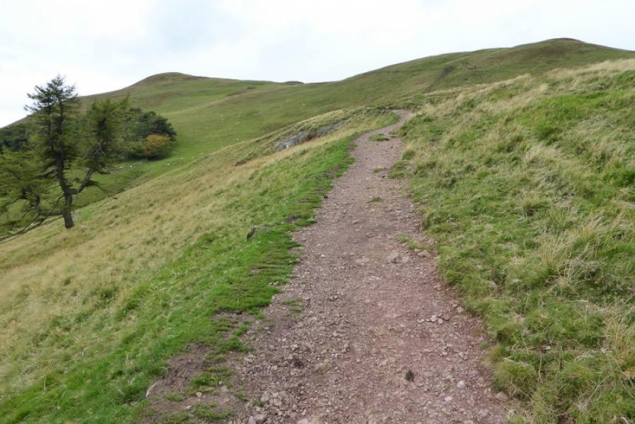
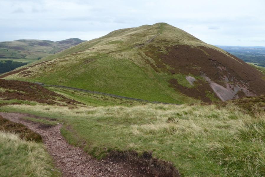
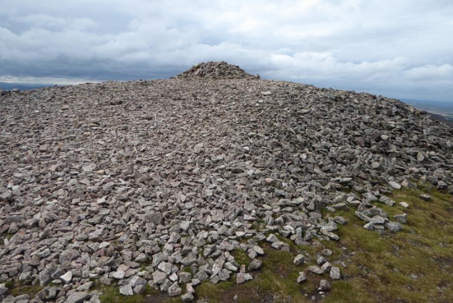
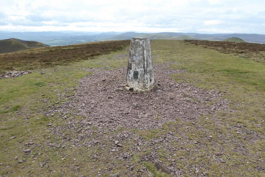
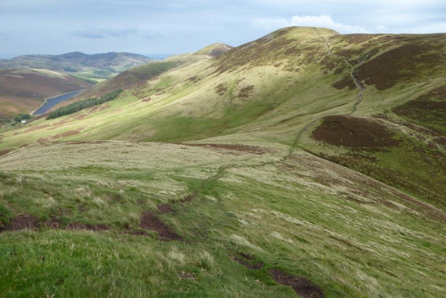
(3) Continue on the path, in roughly the same direction and again losing significant height to cross the track in the next col. Continue up the other side to reach the grassy summit plateau where there is no cairn only a trig point to mark the summit of Scald Law, 579 m.
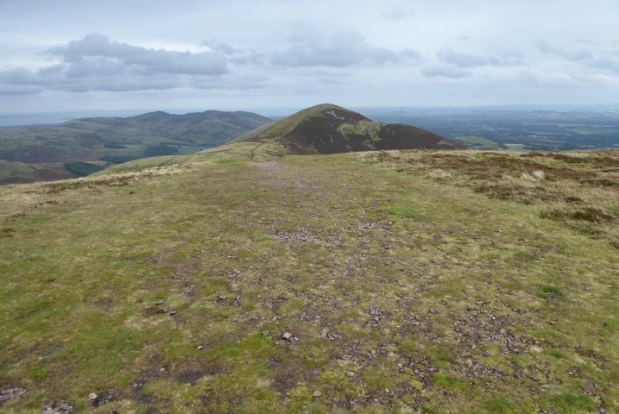
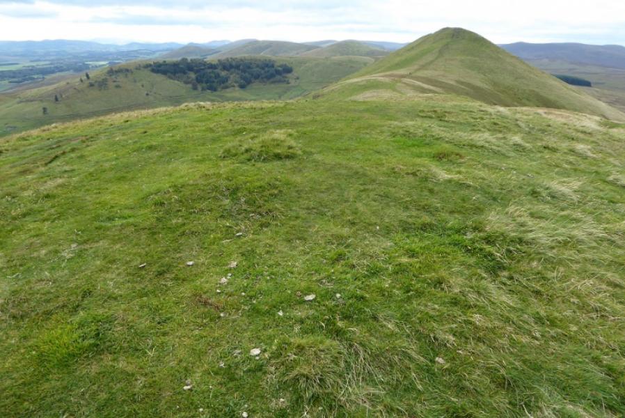
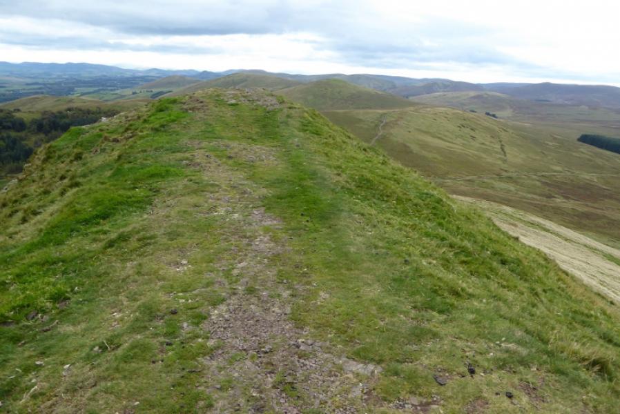
(4) Continue on the crest path, again losing significant height, to reach the grassy col then make a shorter ascent to reach the highest point on the grassy top of East Kip, 534 m, where there is no cairn but the highest point is fairly obvious.
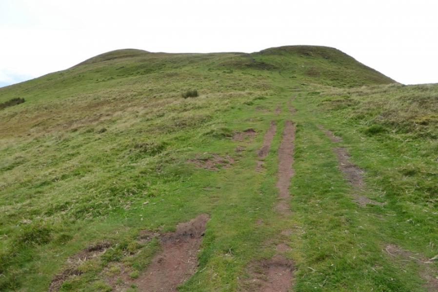
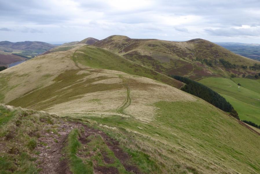
(5) Continue along the crest path, losing less height than previously, to reach a col then continue up the other side to reach the mainly grassy top of West Kip, 551 m. The highest point is fairly obvious and seems to have the remains of a small cairn.
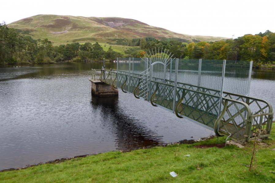
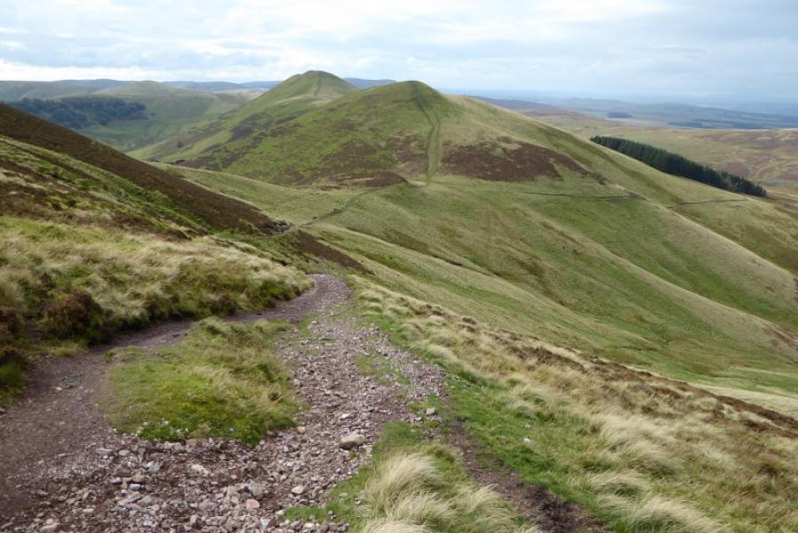
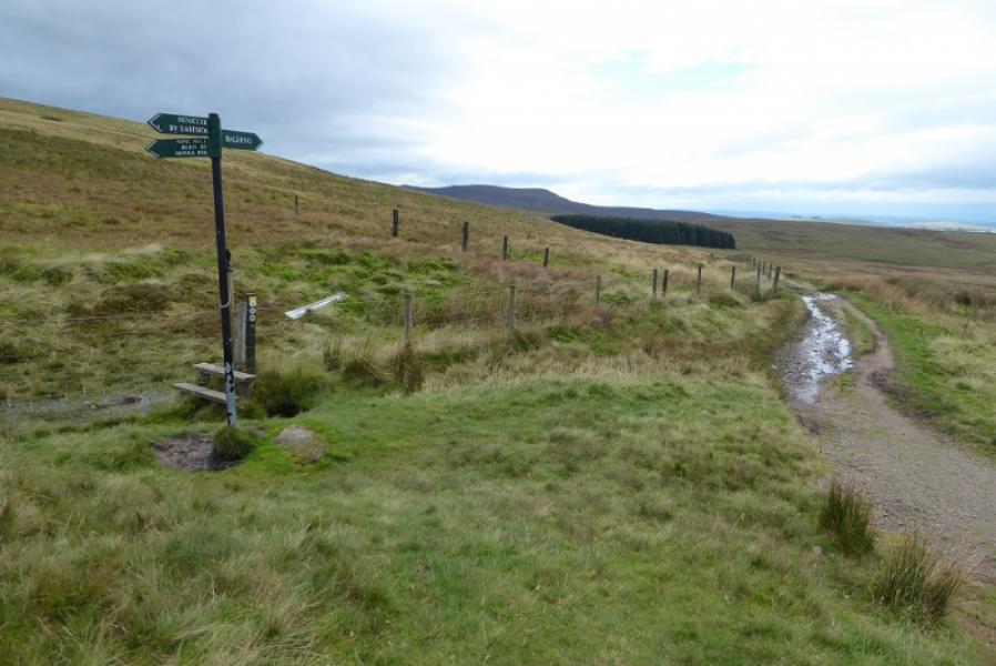
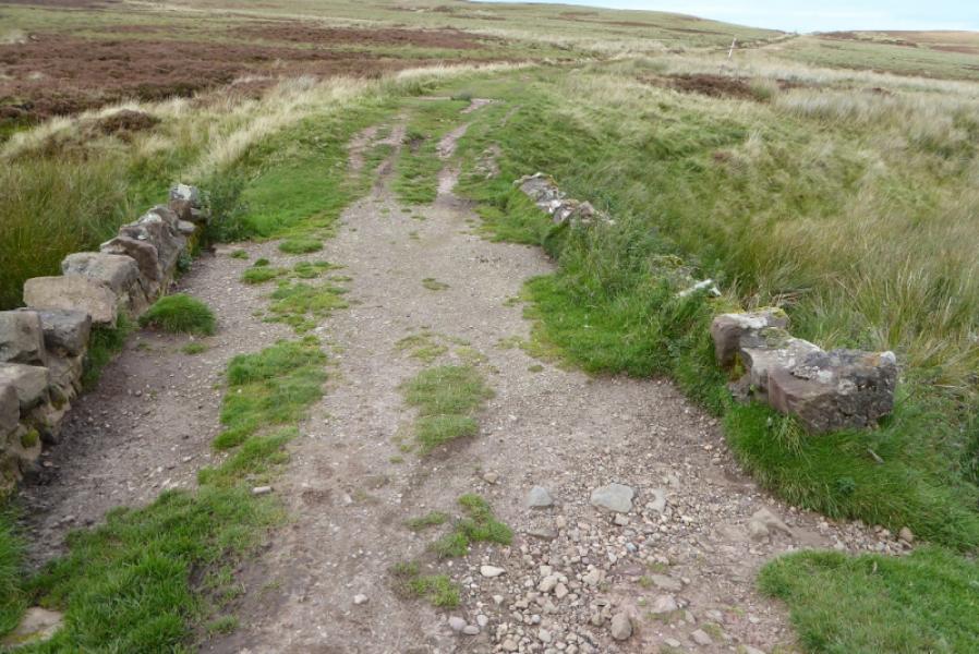
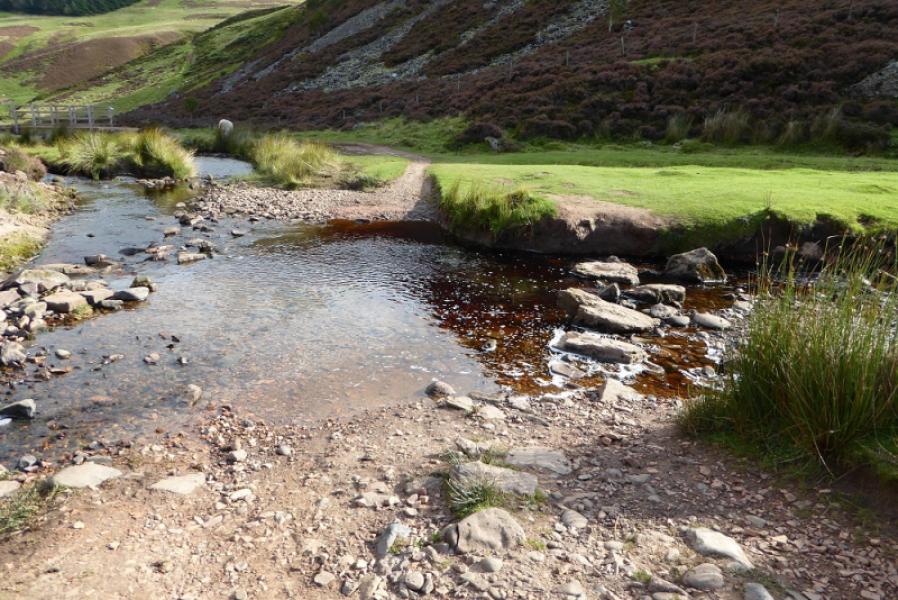
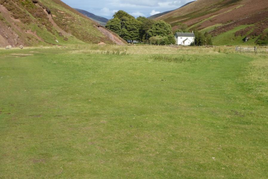
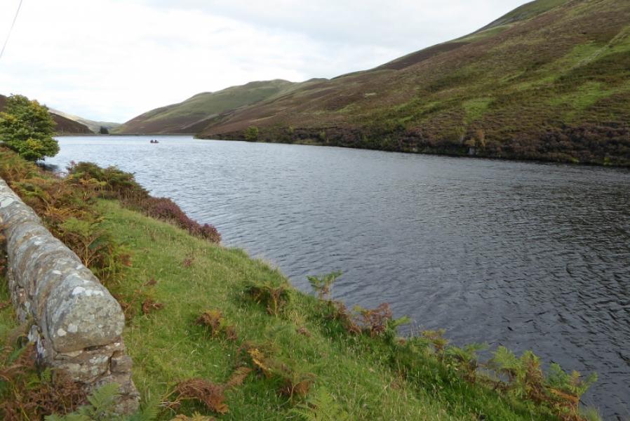
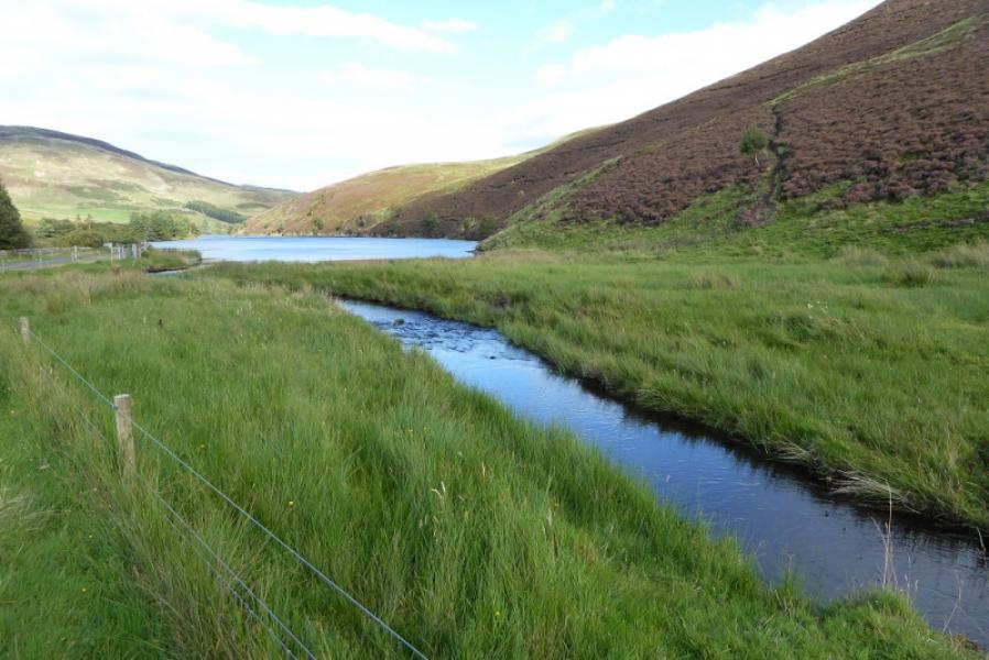
(6) Continue along the crest path and descend to join an obvious track running roughly E – W. Follow this for just over 1 km to a stone bridge where a faint path goes right , following a small stream on its far bank. The path is quite intermittent and gradually drifts away from the stream and eventually meets an ATV track which can be reached by turning left at any of the ATV tracks crossed which go to the grouse butts. Alternatively, stay on the main track after the stone bridge and pick up the path/ATV track after about another 400 m. The ATV track eventually leads down into lower Green Clough to join another track. Go right, downhill, and cross the stream by stepping stones then continue twoards the white house called The Howe. Soon after here, the private tarmac road is reached which is followed for about 5 km back to the start and passes both Loganlea and Glencorse Reservoirs.
Notes
(a) This walk took place on 22nd September, 2017.
Photos - Hover over photo for caption. Click on to enlarge. Click on again to reduce.