Get Lost Mountaineering
You are here: Scotland » 01 South of Oban to Stirling and Fife » Dunoon, Lock Eck and Lochgoilhead
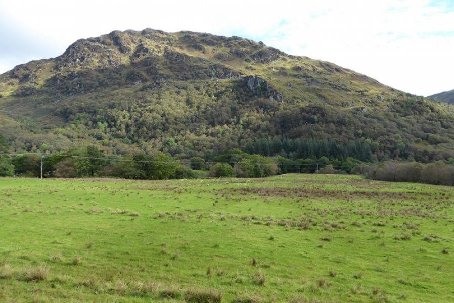
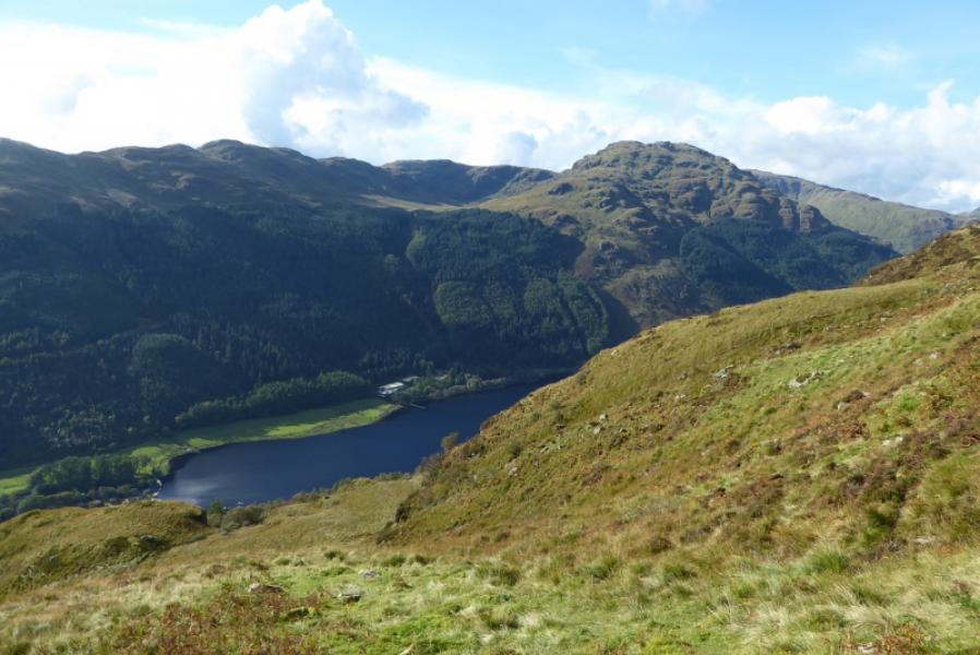
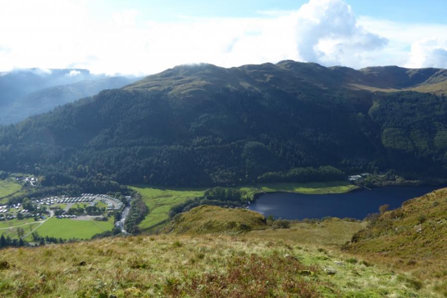
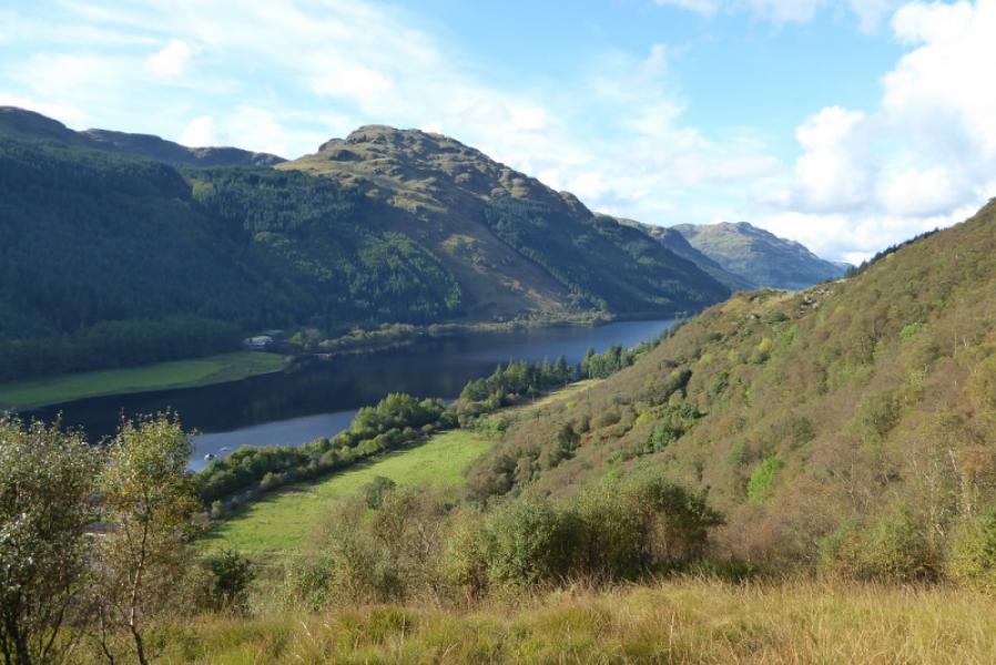
Beinn Mhor from Benmore Botanic Gardens
Beinn Mhor from Benmore Botanic Gardens
Start/Finish
Benmore Botanic Gardens car park (free on 19/9/17 which has the postcode PA23 8QU for those with Sat Nav. This is about 7 miles north of Dunoon on the A815 or about 20 miles south of Cairndow at the junction of the A815 and A83. Note that if coming over the Rest and Be Thankful pass from Arrochar that this road can be closed by landslips or winter conditions so check ahead.
Distance/Time
16 km. About 7 hours.
Peaks
Clach Bheinn, 643 m, NS 126 886.
Beinn Mhor, 741 m, NS 107 908. OS Sheet 56: Loch Lomond & Inverary.
Introduction
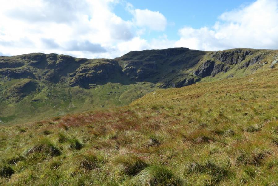
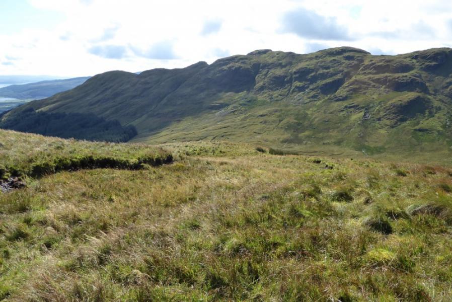
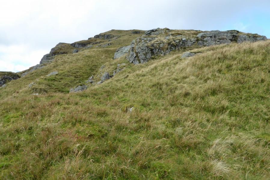
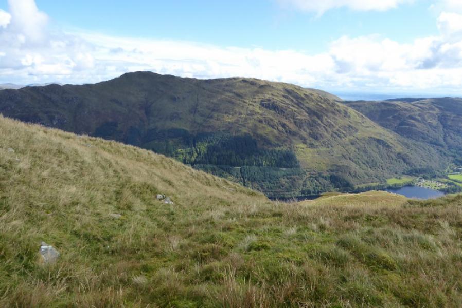
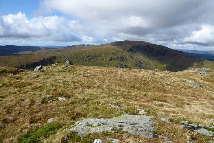
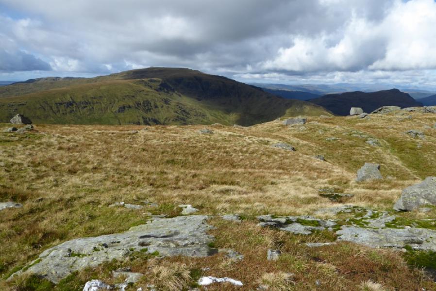
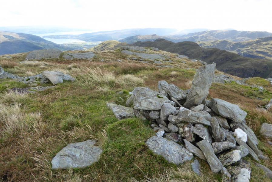
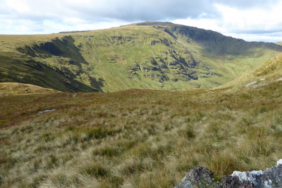
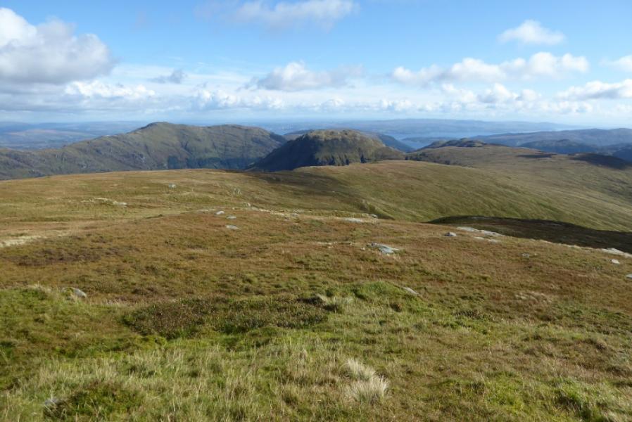
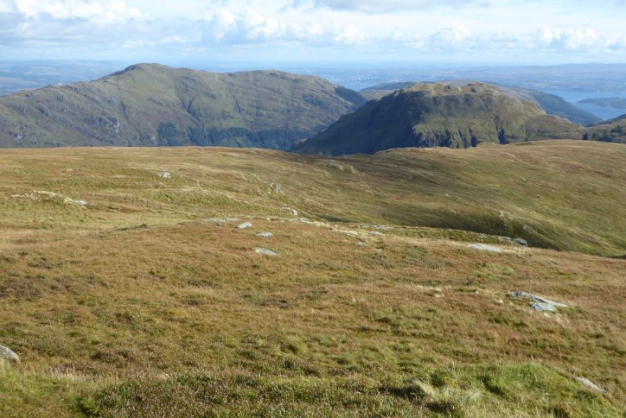
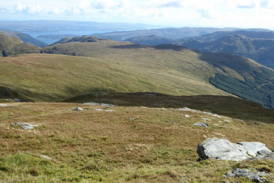
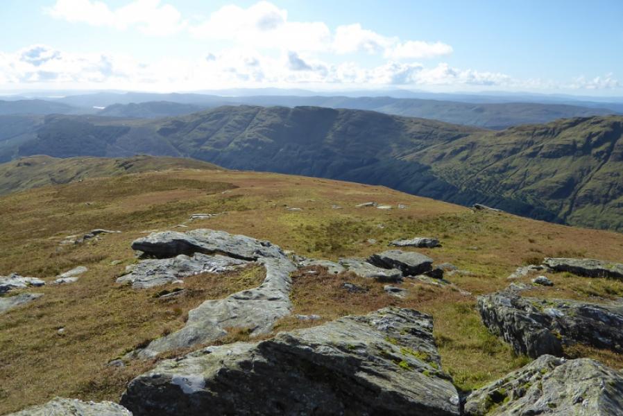
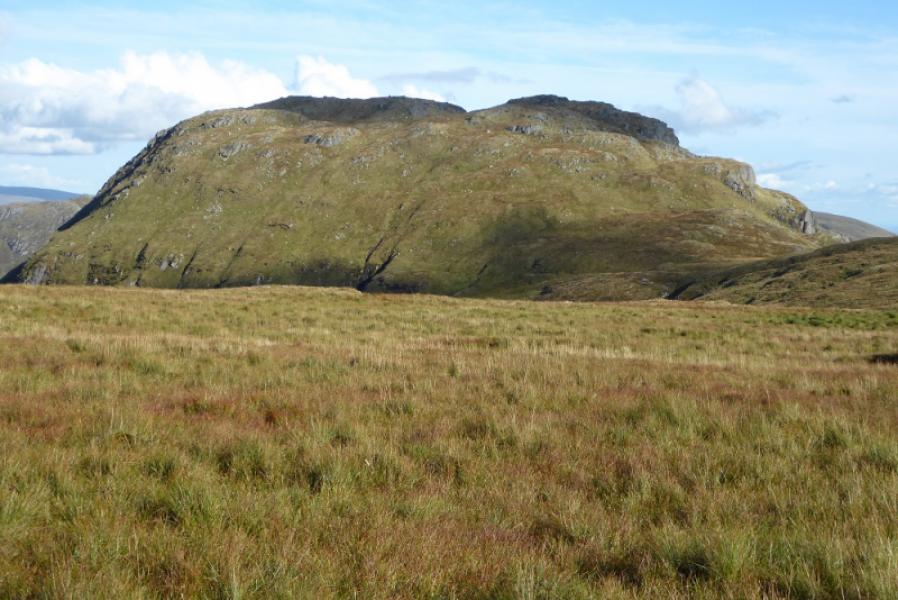
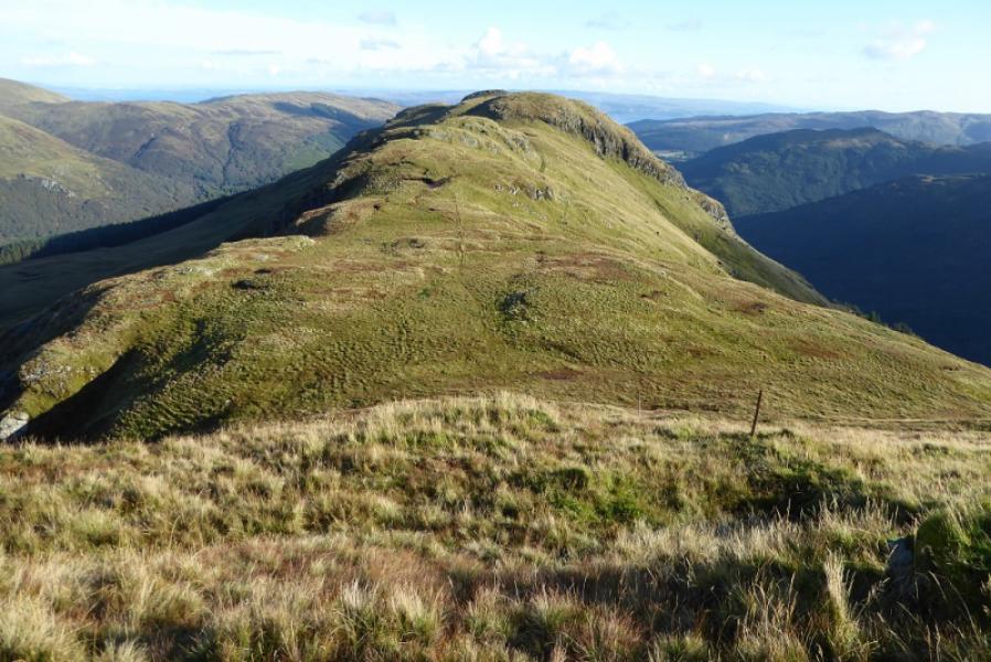
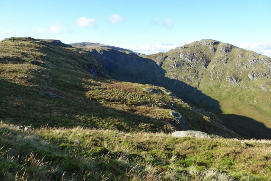
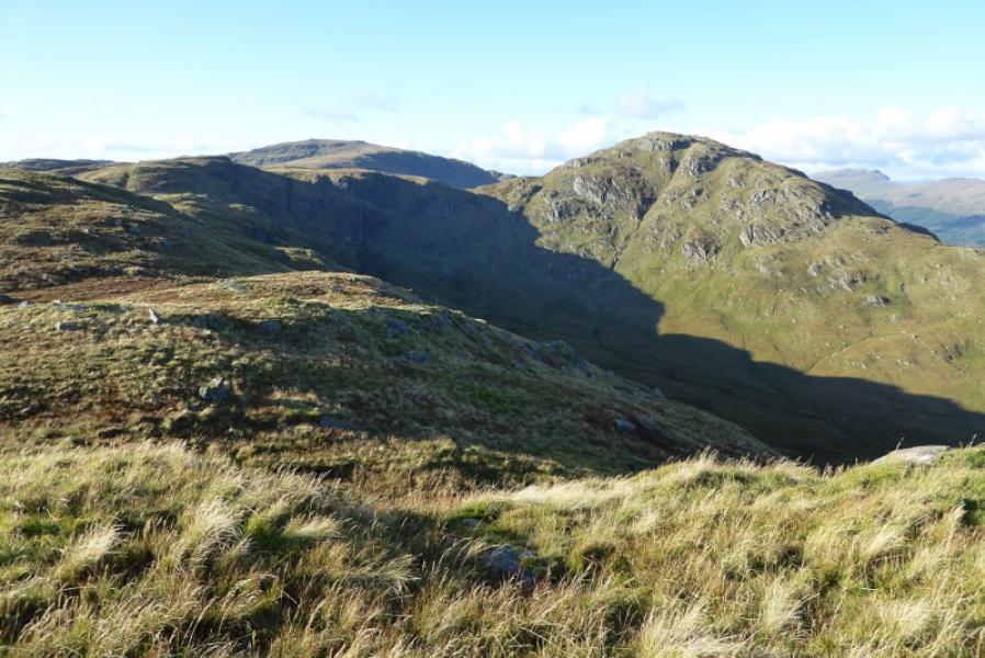
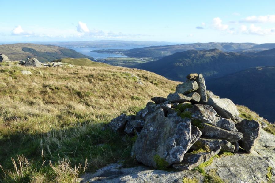
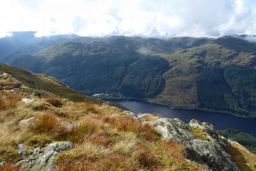
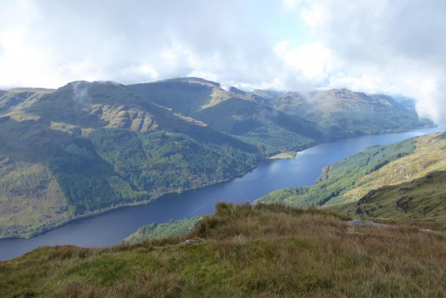
Beinn Mhor and all its tops, especially Clach Bheinn, dominates the southern end of Loch Eck on its western side. Like many mountains in the area, it is very rocky but all rock can be avoided. The ascent from the Loch Eck track to Clach Bheinn is steep and pathless much of the way. Some of the south ridge of Beinn Mhor, especially around Capull Cloiche is quite wet but there is a pth to follow. On a clear day, there are excellent views to Beinn Bheula, Beinn Ruadh, Beinn Bheag and Creag Tharsuinn as well as to Dunoon and the Clyde during the fianl descent.
Route
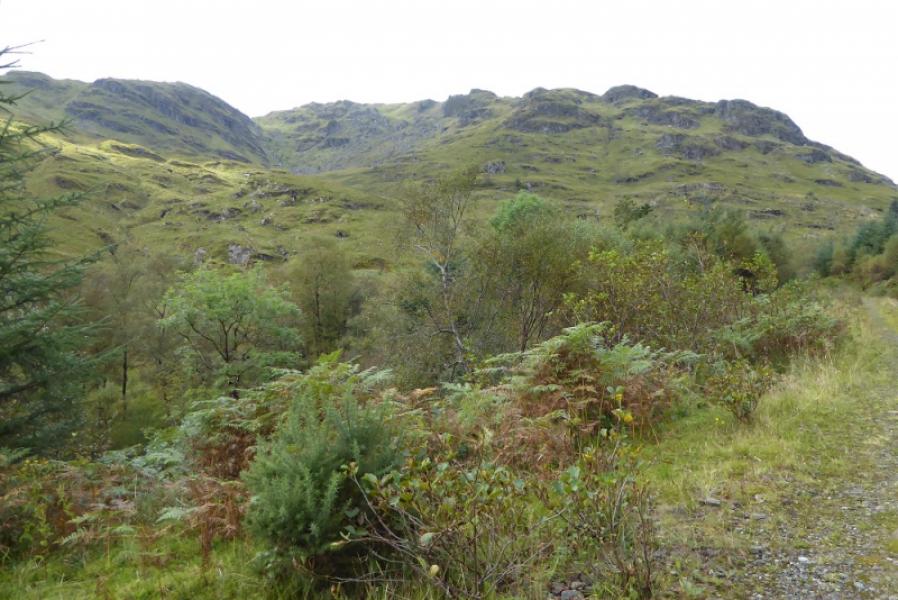
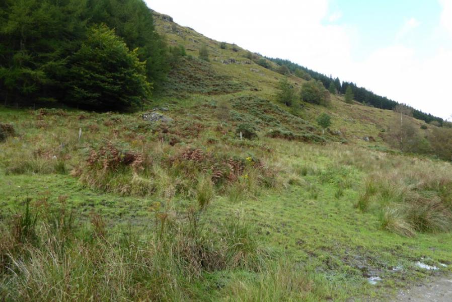
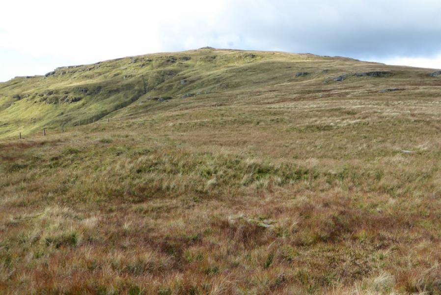
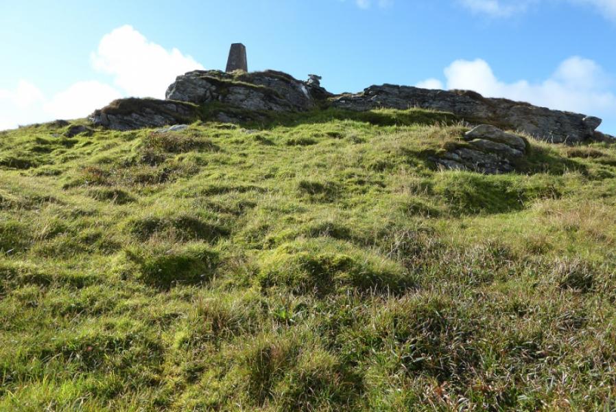
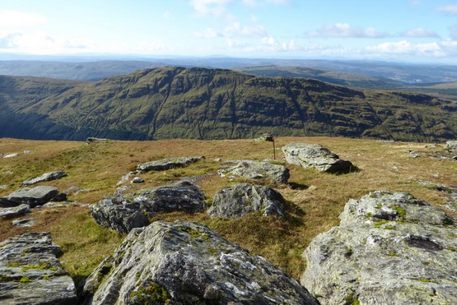
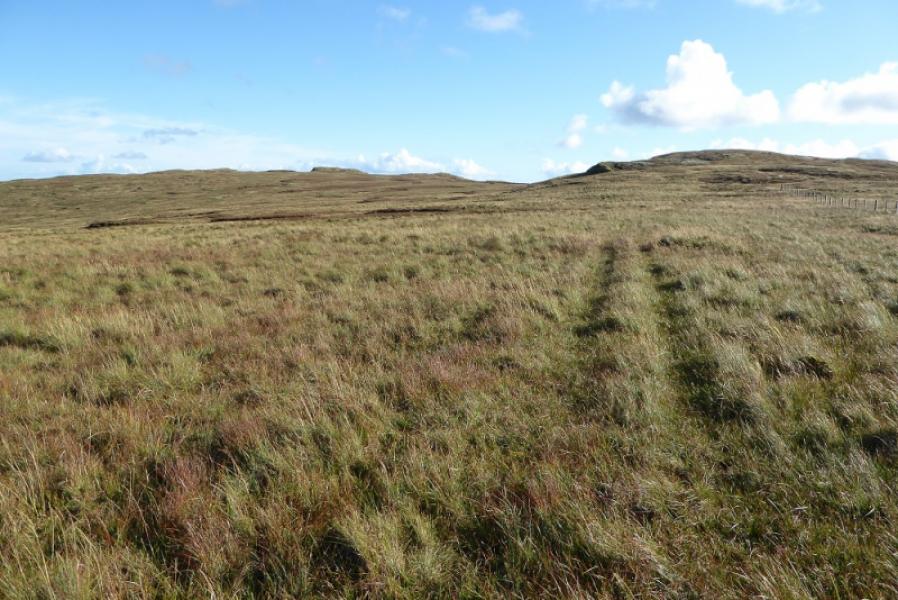
(1) Walk out the back of the car park signed for the Education Centre. Cross the bridge then turn right. Follow the tarmac track, roughly N. When it turns left, pass the clock tower after which the track goes right and N again. Soon after there is a track as a reverse left fork; this is the where the return tracn brings one to. Continue on the main track to the end of the tarmac track then continue ahead on a normal track. Within about 1 km, there is a very wide gap on the left between two forestry plantations. Leave the track and pick a way up the steepish gap. There is a faint hint of a path lower down which drifts over to the right then disappears. Continue picking a way up, weaving around to find easier ground which may mean drifting back towards the left hand side of the gap. A low fence is crossed. Higher up, the angle hardly eases but the ground improves. The SSE ridge looks fairly well defined on the map but there seem to be lots of false tops. Eventually, the highest two points are reached, about 100 m apart and either side of a gap. Both have similar sized cairns and seem to be about the same height so visit both to be sure. It seems the S top, may be the higher. One of these, though, is Clach Bheinn, 643 m.
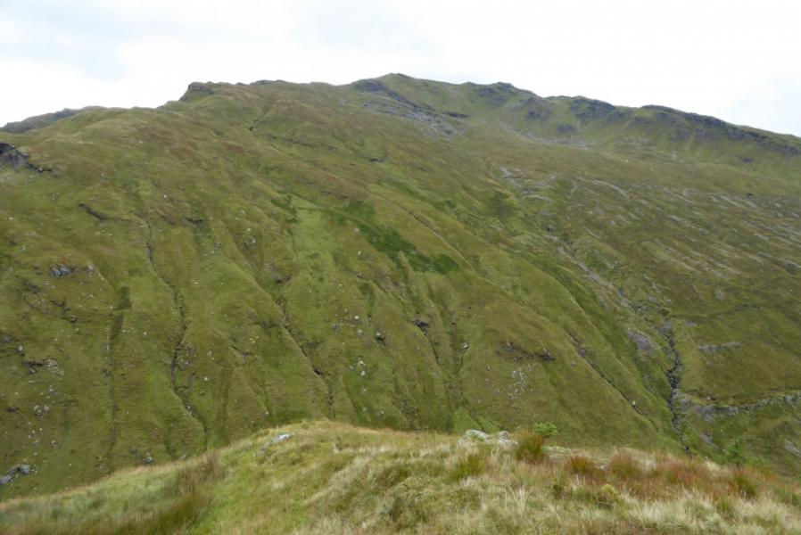
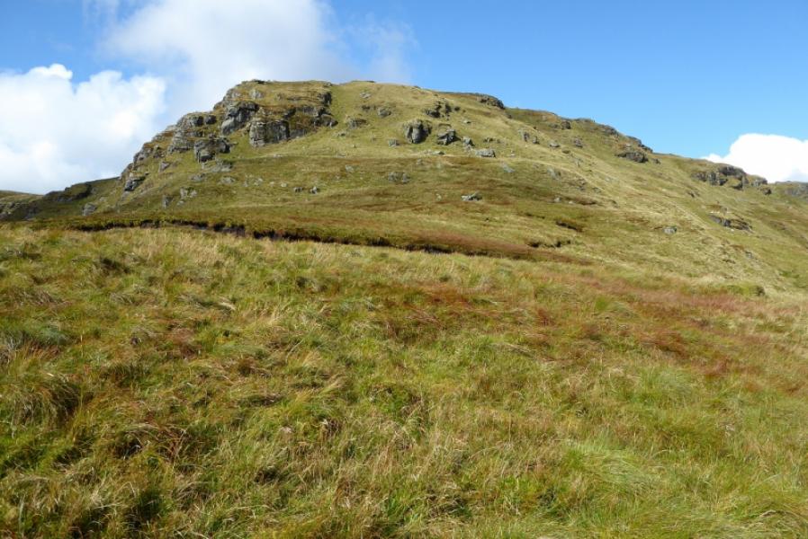
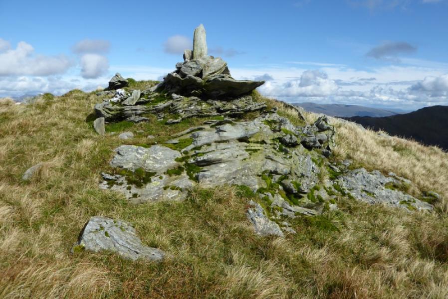
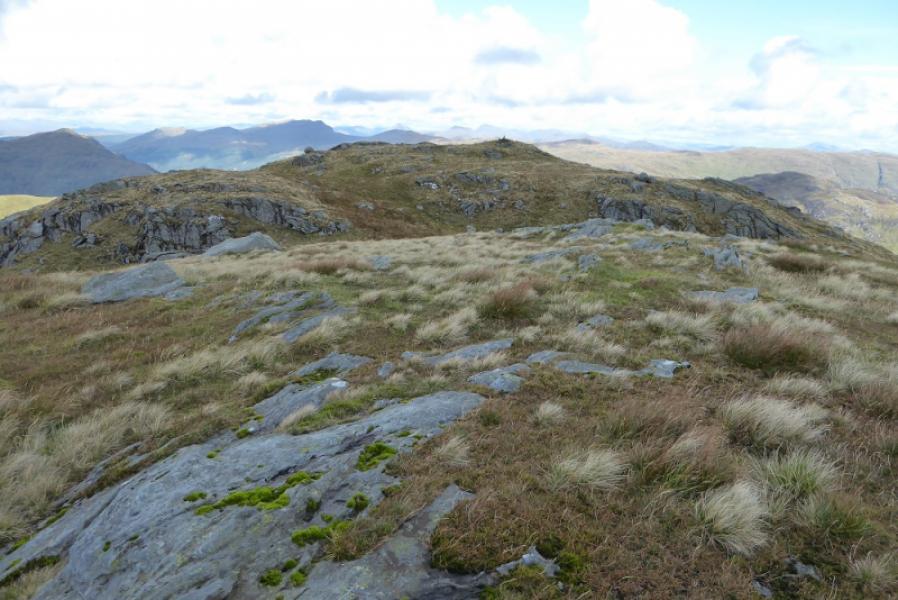
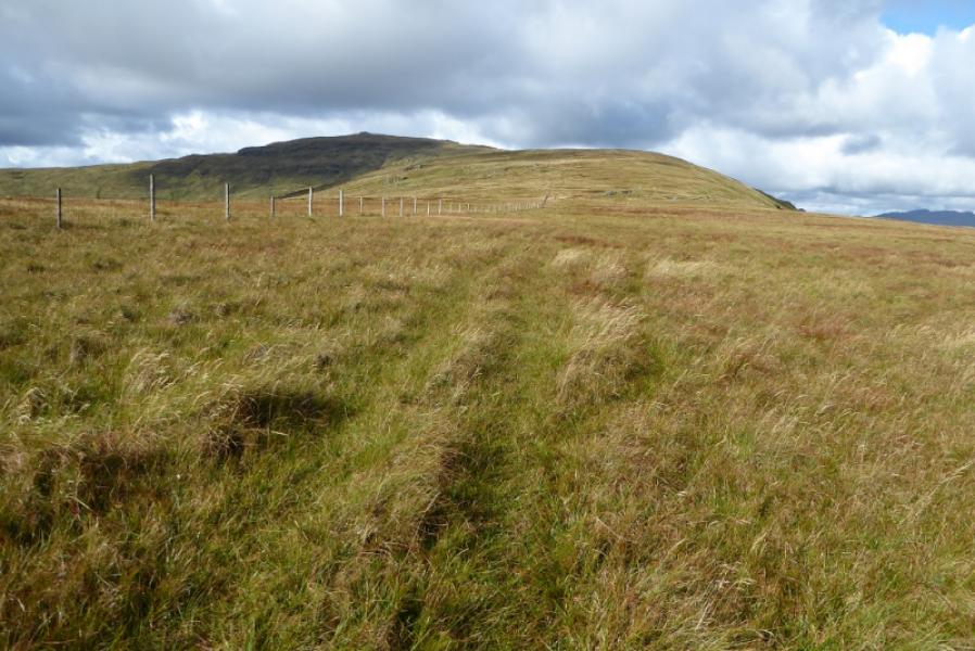
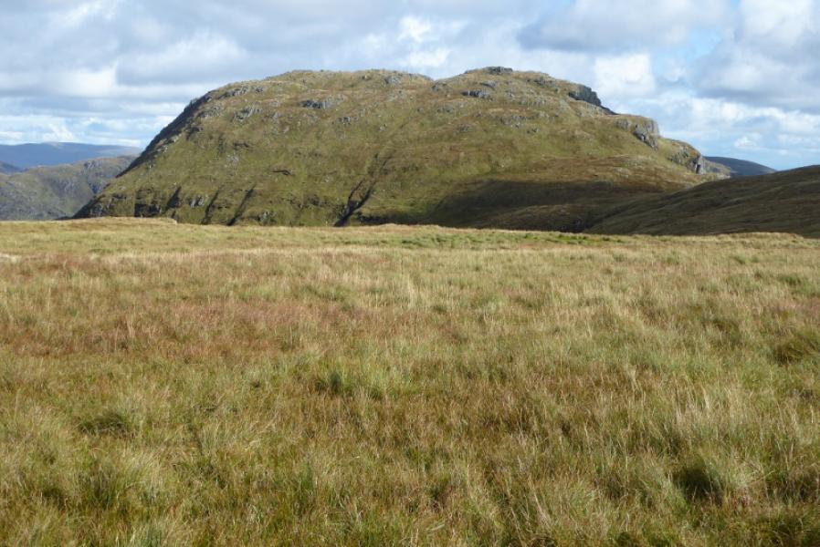
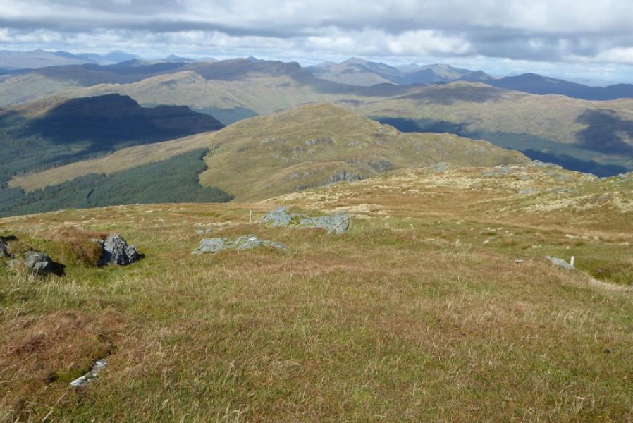
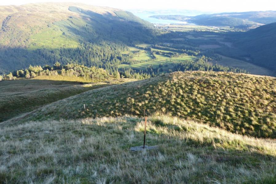
(2) Descend W, weaving a little to avoid minor crags, to reach the col below Capull Cloiche. Continue up the other side on a faint but wet path. It is possible to traverse around in front of Capull Cloich to join the main ridge leading N towards Beinn Mhor. There is a rather wet ATV track which shadows a fence. Further on the fence drifts left so stay, more or less, on the broad crest which gradually curves around to the NW and ascends to an outcrop on which there is a medium cairn and trip point which marks the summit of Beinn Mhor, 741 m.
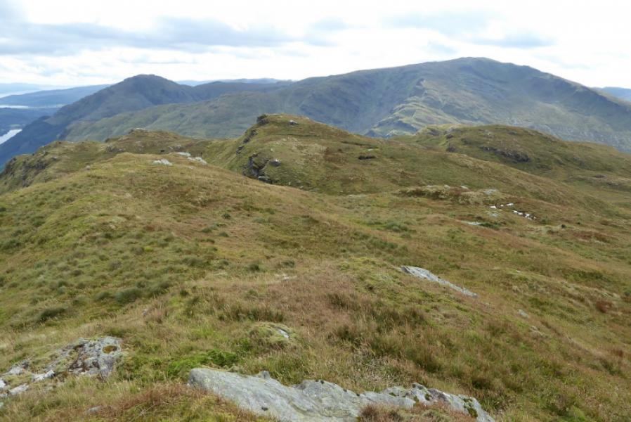
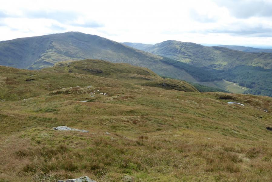
(3) Retrace along the crest to Capull Cloiche then continue, SSE now, over Creachan Mhor (cairn) and Creachan Beag to reach the small cairn on A' Chruaich. This is quite an undulating ridge but ther eis a path most of the way which traverses some of the minor bumps. Continue down from A' Chruaich roughly following some old metal fence posts until a metal gate is seen in the fence below. The fence posts drift off left before the gate is reached so if they are followed to the fence then go right, W, to reach the gate. It is important to find this gate as it offers the only easy way through the thick forestry. Once through the gate, go right and follow the fence for a short distance. The path is quite muddy but some improves to a track and soon bends left away from the fence and downhill. Do not be tempted to go straight on at the gate aiming to intercept the track. You will regret it! Follow the track as it twists and turns downhill through the dense forestry. Just after a short boggy path, it goes left, levels out and becomes wetter Continue along the track which gradually improves. Two access points to Benmore Gardens are passed and one could use these but you may have to pay the admission fee if caught! The track continues to join the outward track a few hundred metres of the corner by the clock tower then back to the start.
Notes
(a) This walk took place on 21st September, 2017, and on 24th February, 2003.
Photos - Hover over photo for caption. Click on to enlarge. Click on again to reduce.