Get Lost Mountaineering
You are here: Scotland » 01 South of Oban to Stirling and Fife » Dunoon, Lock Eck and Lochgoilhead
Creag Tharsuinn from Glenbranter
Creag Tharsuinn from Glenbranter
Start/Finish
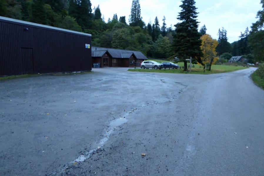
Glenbranter forestry car parks. These are signposted off the A816 Strachur to Dunoon road about 2.5 miles south fo Strachur. If coming from the Strachur end, ignore the first turning fir Glenbranter and take the one with parking indicated. The car parks are a short distance down the minor road, the first being in front of the offices. Glenbranter postcode which is a little further on has the post code of PA27 8DJ for those using Sat Nav. There are public toilets by the office plus some information boards.
Distance/Time
18 km. About 6 – 7 hours.
Peaks
Creag Tharsuinn, 643 m, NS 088 913. OS Sheet 56: Loch Lomond & Inverary.
Introduction
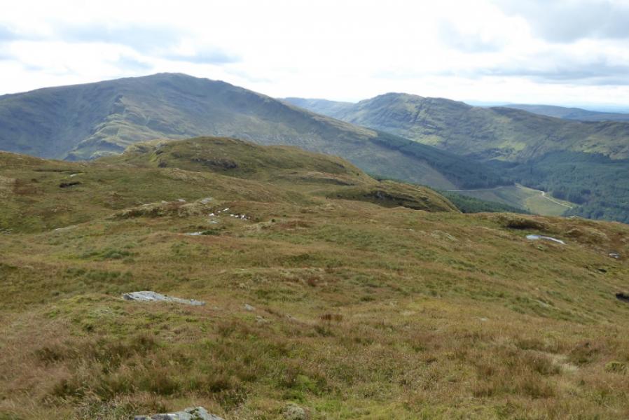
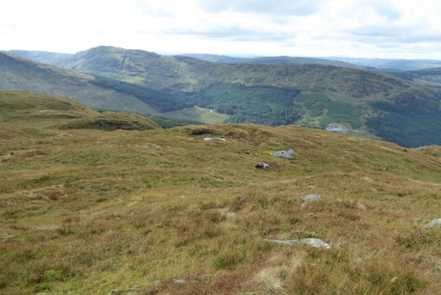
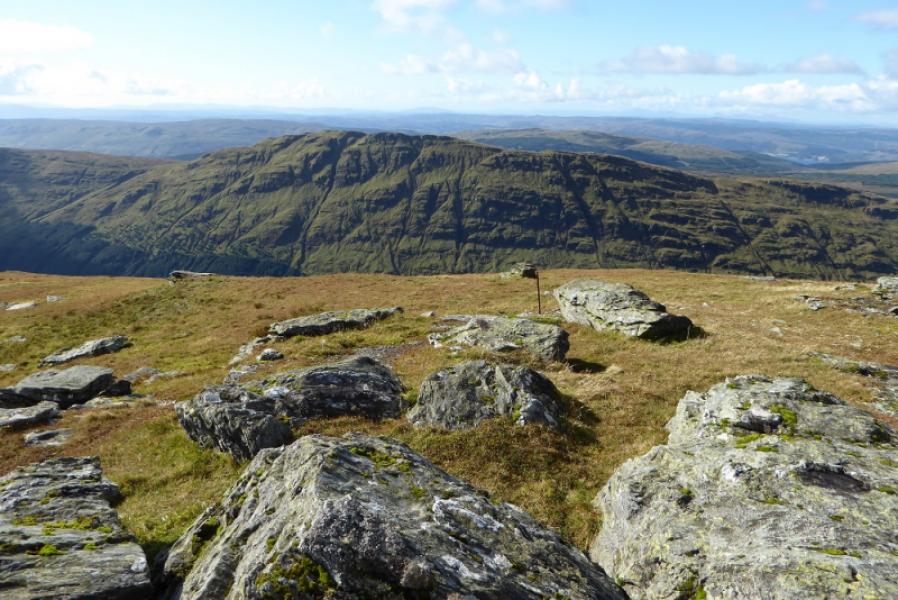
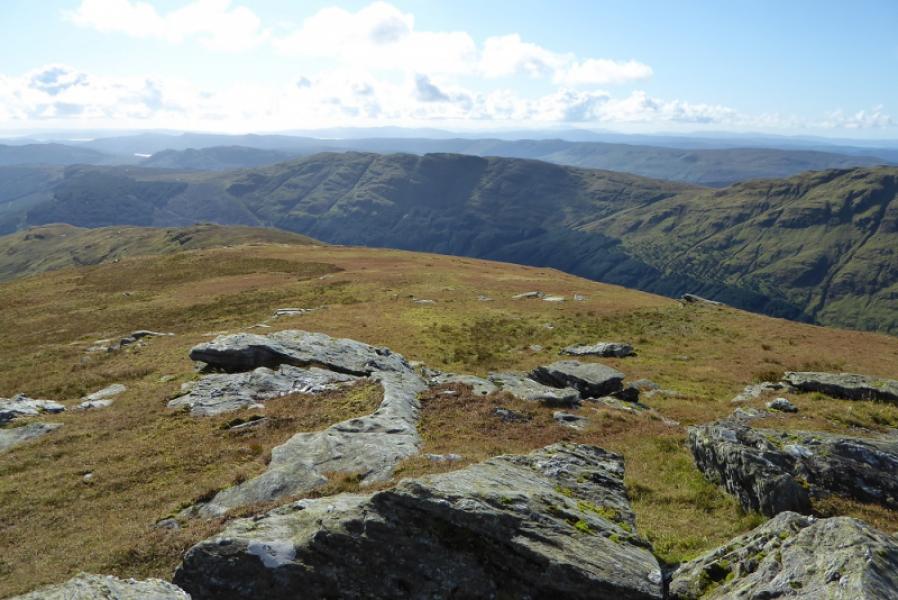
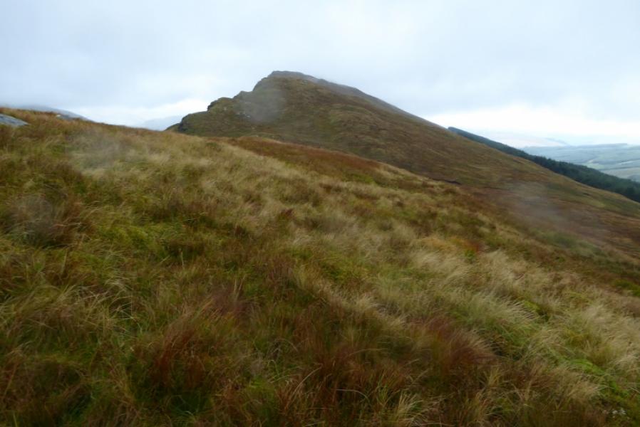
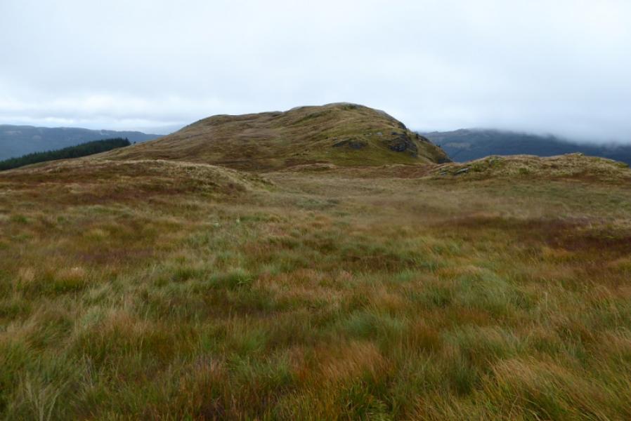
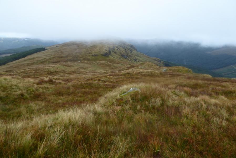
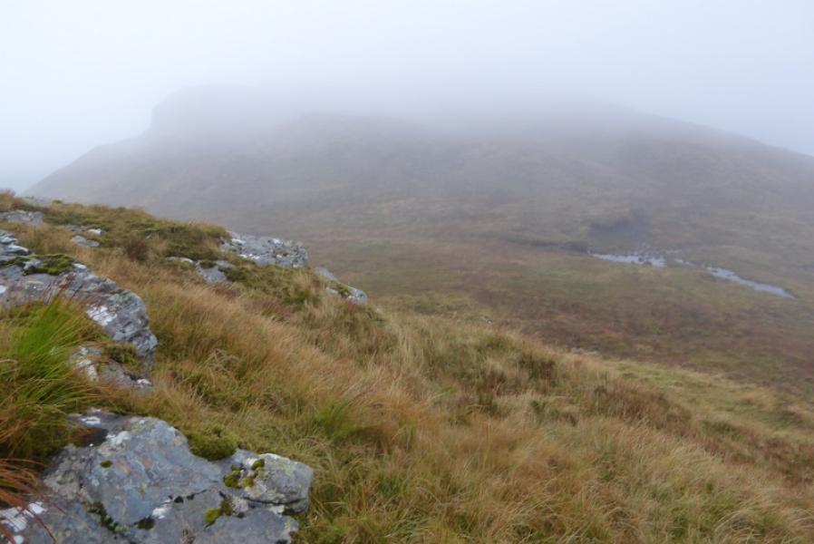
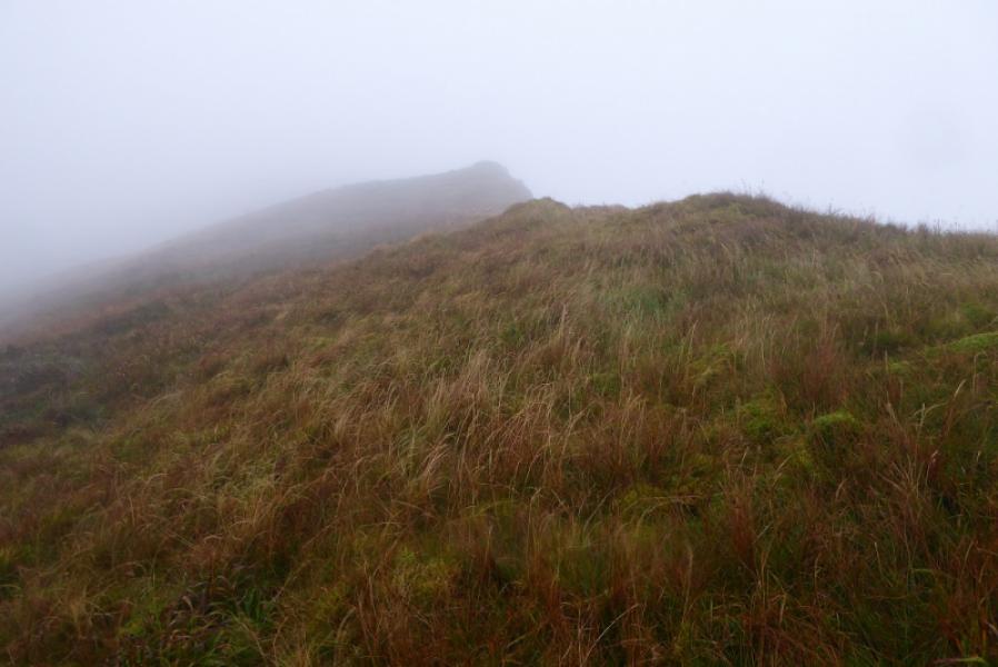
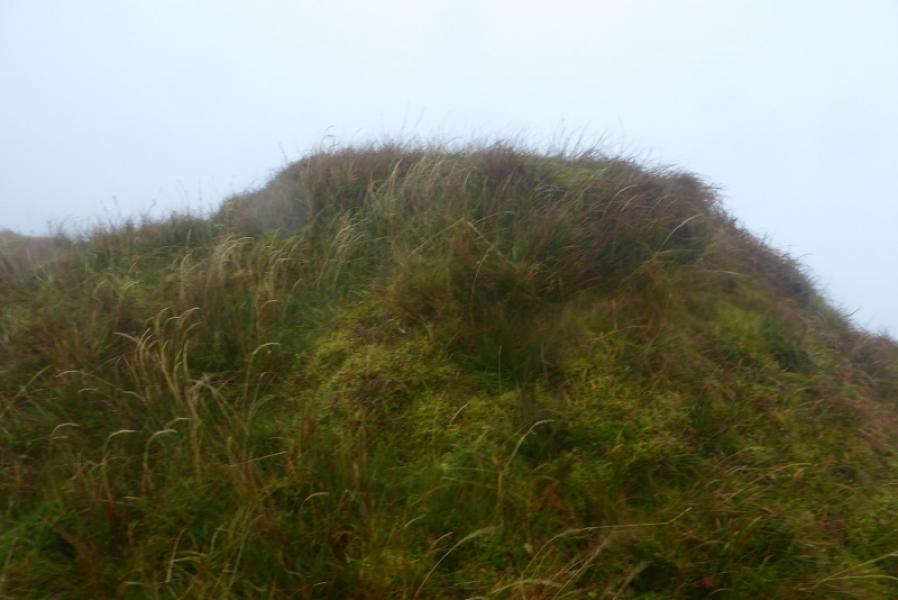
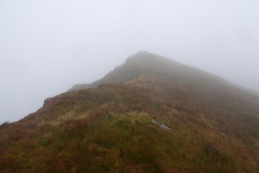
Creag Tharsuinn is quite a rough mountain with only a faint intermittent path on its crest if approached from the north. The Cowal Way, not shown on older maps, goes under the western side of the hill and is the easiest approach from the north. It is possible to cycle to where the Cowal Way is left but it is moderately steep and many will end up pushing although coming back will be a long free wheel. On 23/9/17, there was no summit cairn and there are two possible contenders for the highest point which are quite close. The SMC book on The Grahams and Donalds suggests a different route from the north which uses the track on the west side of Glen Shellish then ascends a firebreak. This firebreak is now overgrown with various trees, steep, wet and mossy and is very hard going. It also leads to a rough section on the crest. One wonders when the SMC actually attempted thsir oute but it is now best avoided. On a clear day, there are excellent views to Beinn Bheula, Beinn Ruadh, Beinn Mhor and beyond..
Route
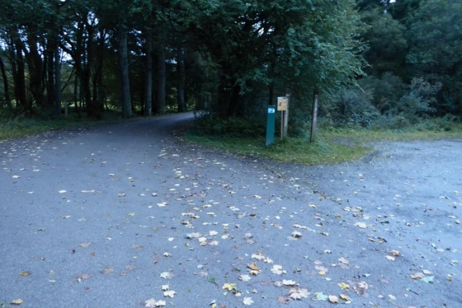
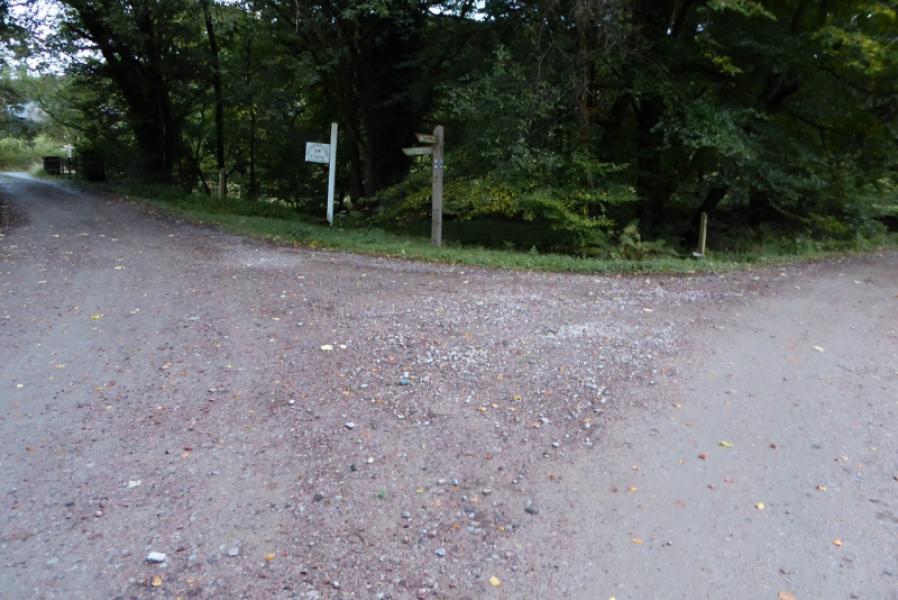
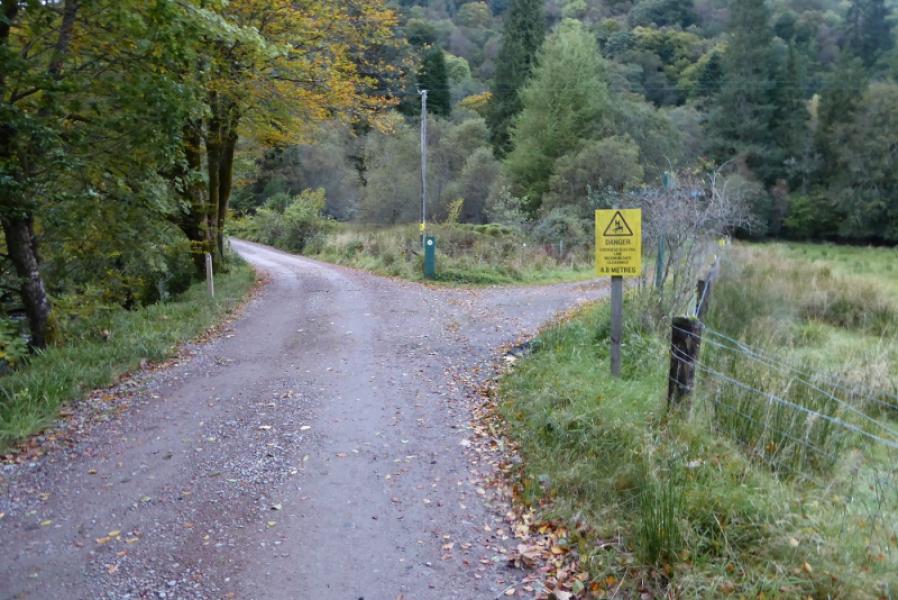
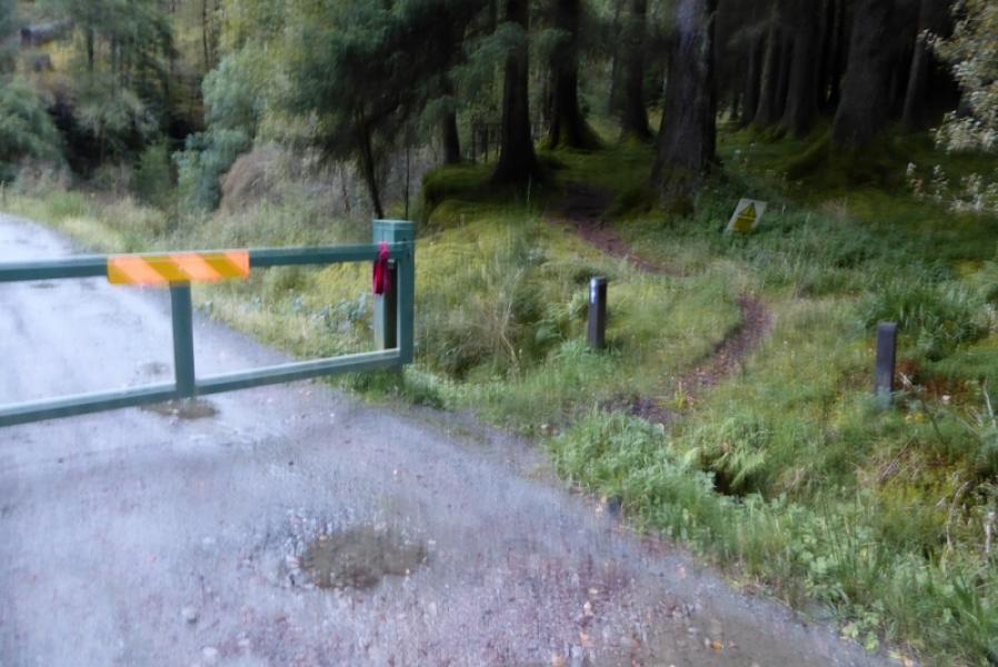
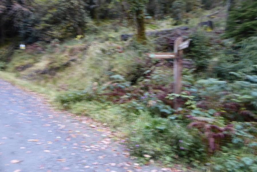
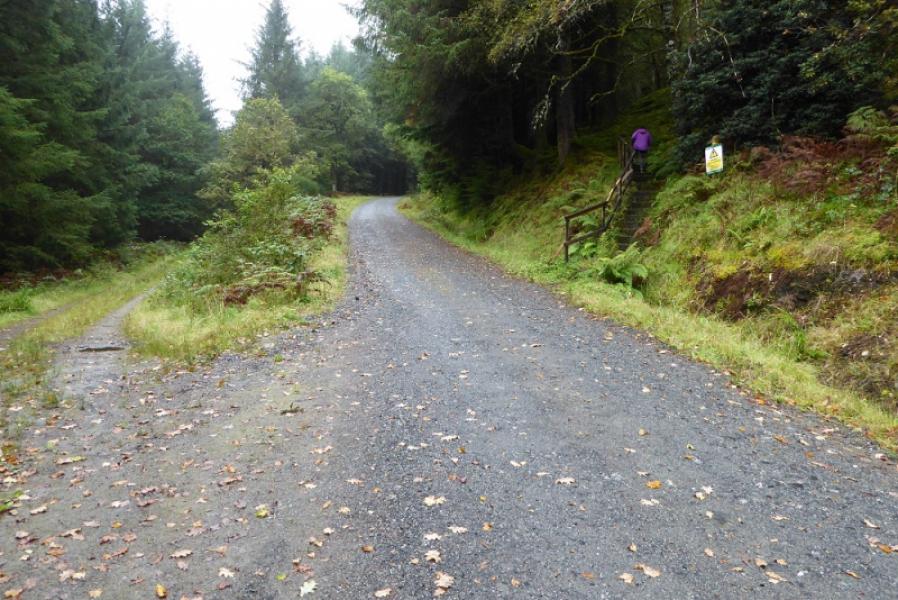
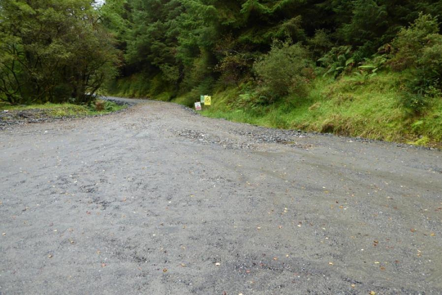
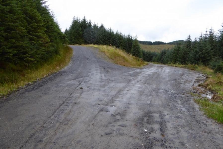
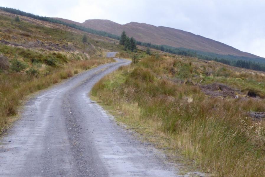
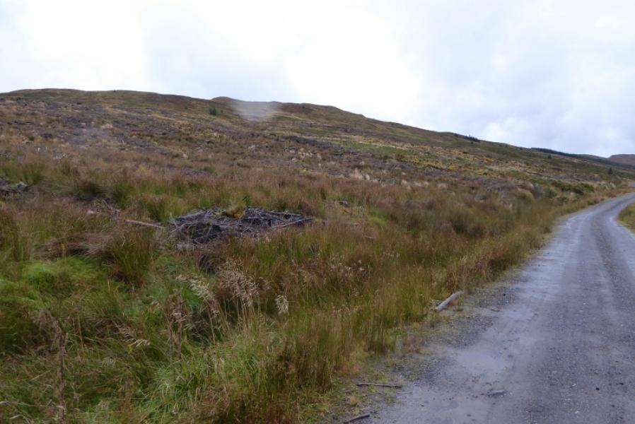
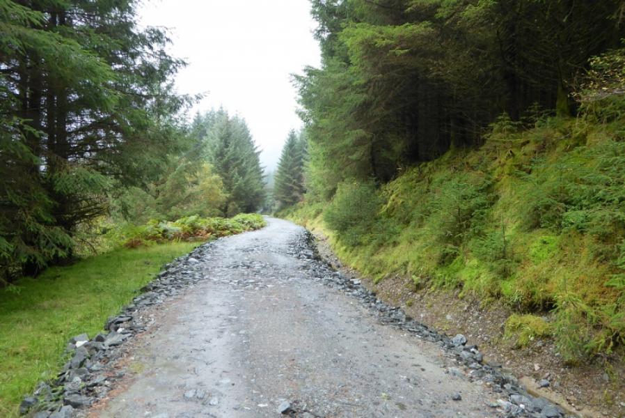
(1) From the forestry office, continue on the minor road. Pass the last car park where there is a sign for the Cowal Way. Continue. Pass the left turning for Glenshellish Farm. Continue up ignoring any turnings. Pass some houses including Glenbranter Cottage. Continue up to reach a barrier. The Cowal Way path goes right here and joins the track further on. The Cowal Way track continues ahead so take that; the path option can be taken on the return if one wishes. Cross a very deep cut stream then pass some steps on the right. A bit further, the main track swings right (small sign). Straight ahead would be the Glenshellish track. Take the right track, still the Cowal Way, and follow it for several km, keeping left at any junction until the trees are finally cleared and the track levels out. On the left is a cleared section of forestry and further ahead the forestry restarts. The ridge leading to Creag Tharsuinn is above to the left. Continue a little further then leave the track where there seems least hindrance from felled forestry and pick a way up rough and pathless slopes to the crest. Follow the crest, roughly south, which undulates quite a bit but is mainly grassy but with a few wet sections. There is a faint path in places and a few old fence posts further on. A low fence is easily crossed. A final steepening leads to the summit crest where there is no cairn with the highest point being one of two small knolls not that far apart from each other. One of these is Creag Tharsuinn, 643 m.
(2) Retrace the outward route.
Notes
(a) This walk took place on 23rd September, 2017, and on 16th February, 2004, but from Glen Massan to the south.
Photos - Hover over photo for caption. Click on to enlarge. Click on again to reduce.


![]()