Get Lost Mountaineering
You are here: Scotland » 01 South of Oban to Stirling and Fife » Dunoon, Lock Eck and Lochgoilhead
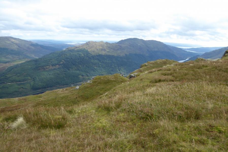
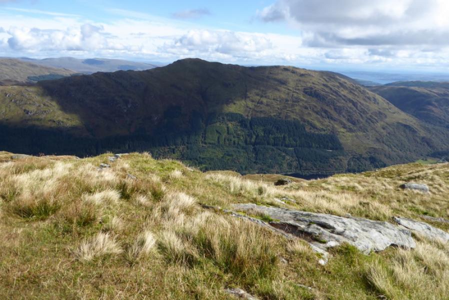
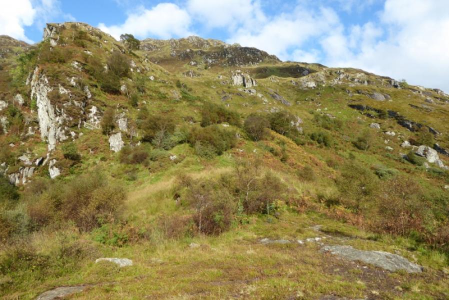
Beinn Ruadh from Inverchapel Car Park
Beinn Ruadh from Inverchapel Car Park
Start/Finish
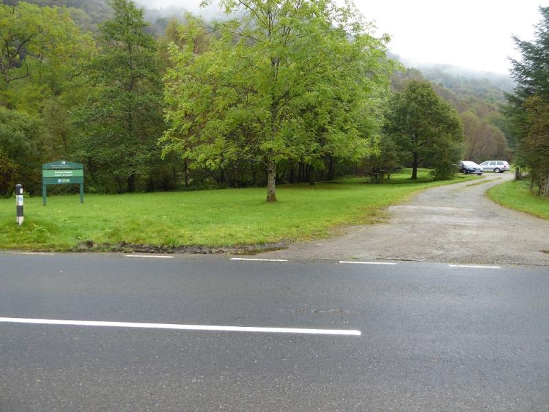
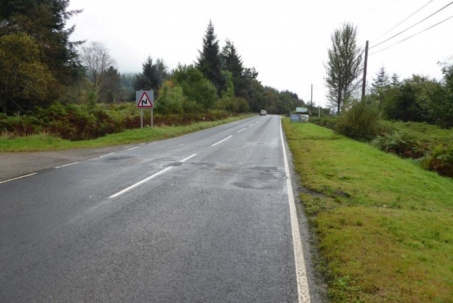
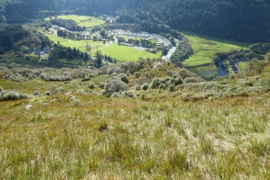
Inverchapel car park. This is a little to the south of Inverchapel Lodge (PA23 8SG) but slightly north of the entrance to Benmore Botanic Gardens. The car park is signed off the main road but not that well! This is about 7 miles north of Dunoon on the A815 or about 20 miles south of Cairndow at the junction of the A815 and A83. Note that if coming over the Rest and Be Thankful pass from Arrochar that this road can be closed by landslips or winter conditions so check ahead.
Distance/Time
7 km. About 5 – 6 hours.
Peaks
Beinn Ruadh, 664 m, NS 155 883. OS Sheet 56: Loch Lomond & Inverary.
Introduction
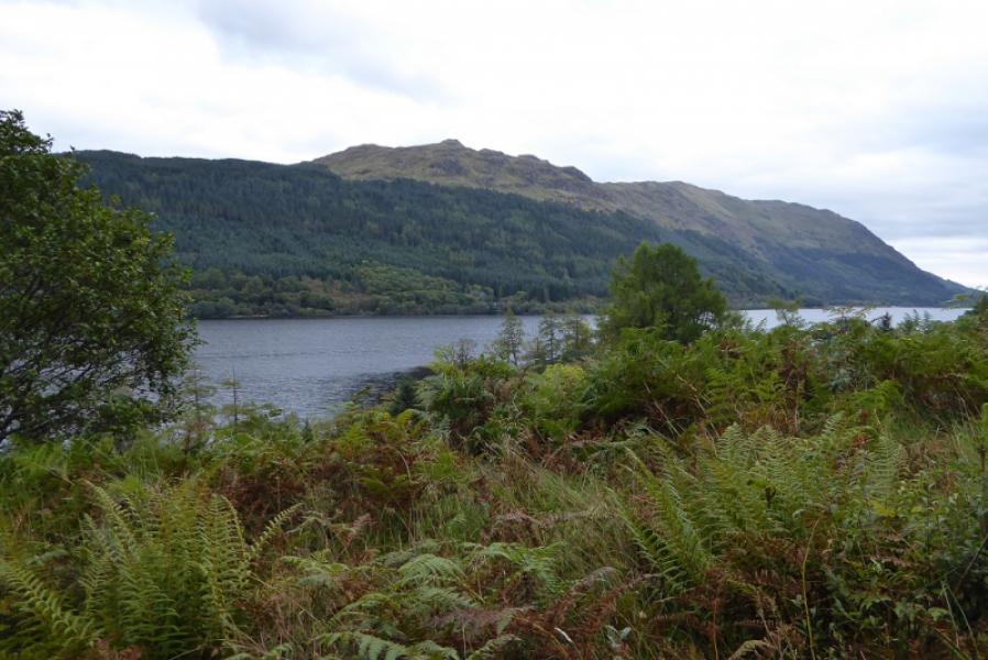
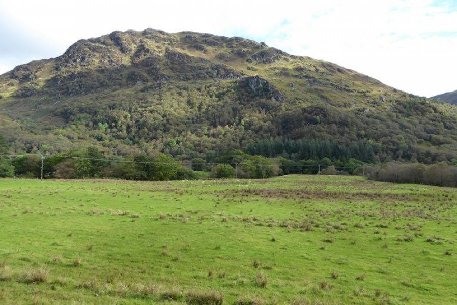
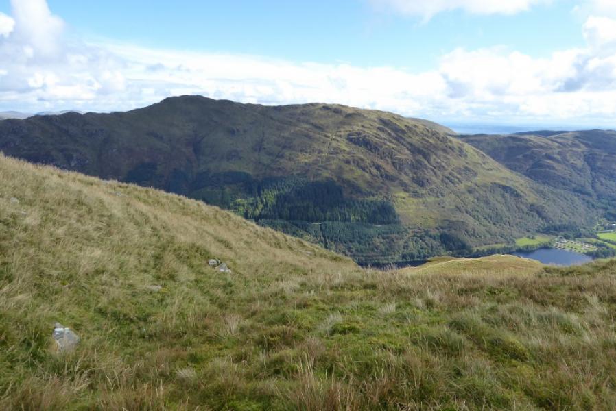
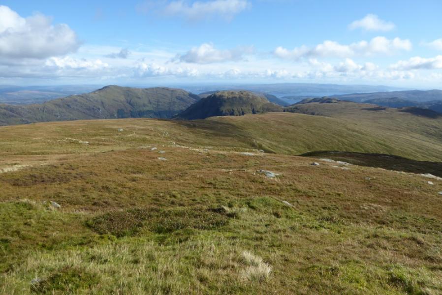
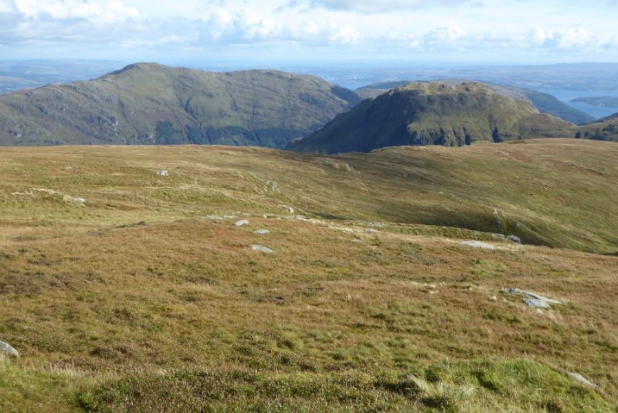
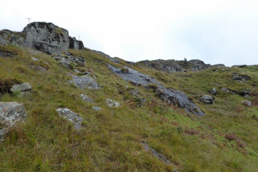
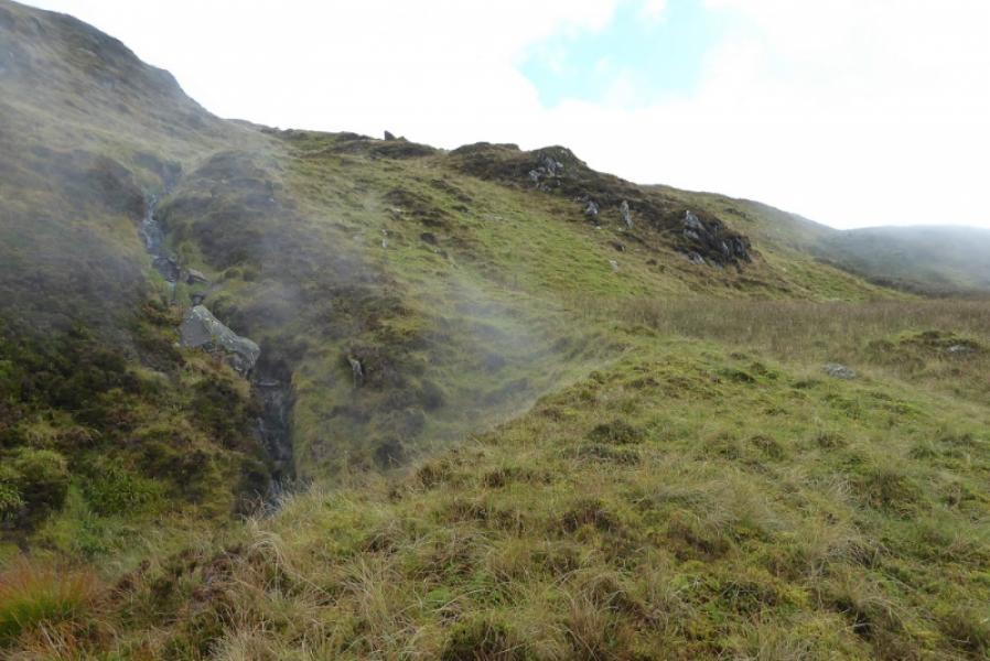
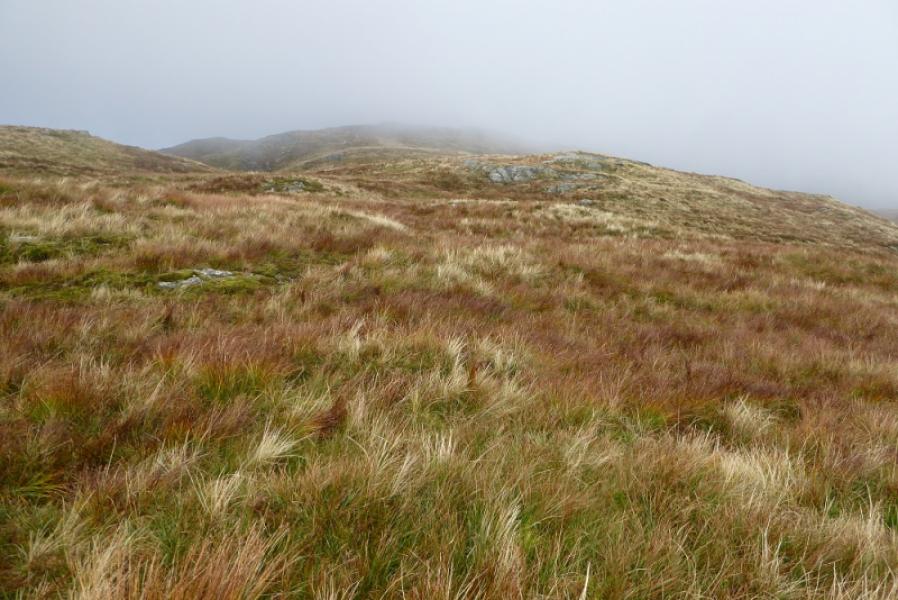
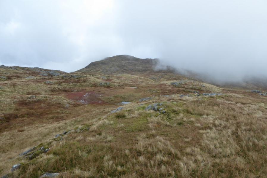
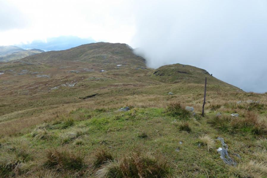
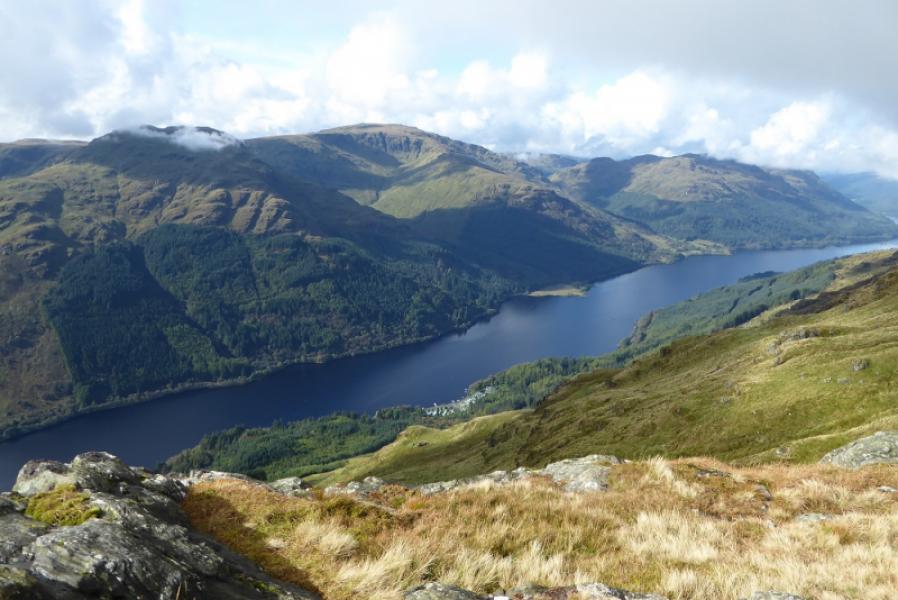
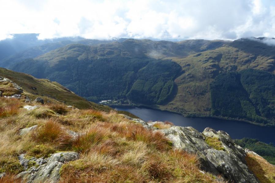
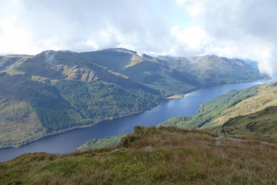
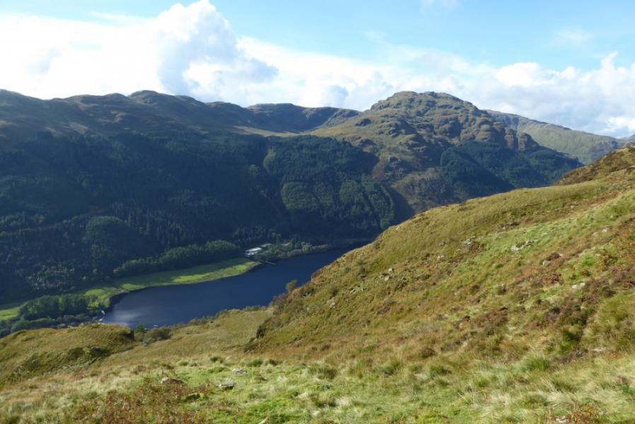
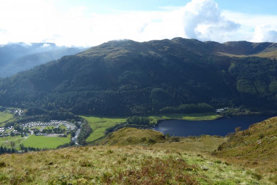
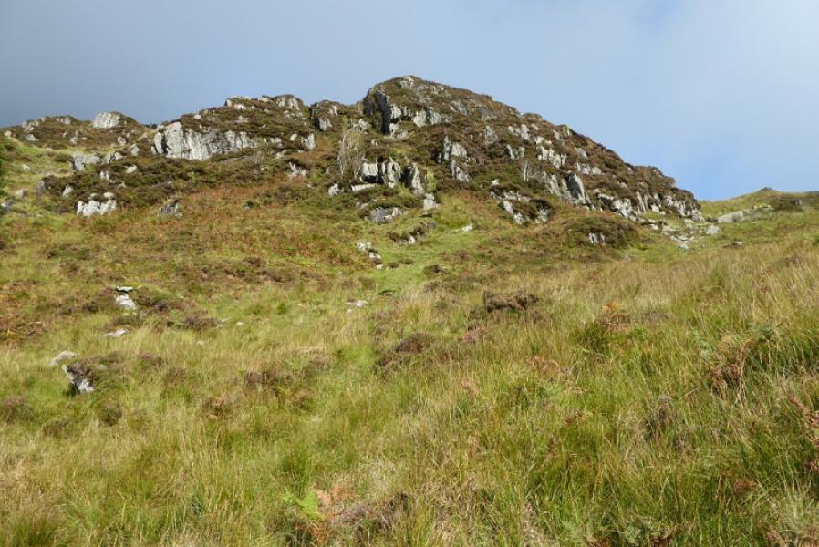
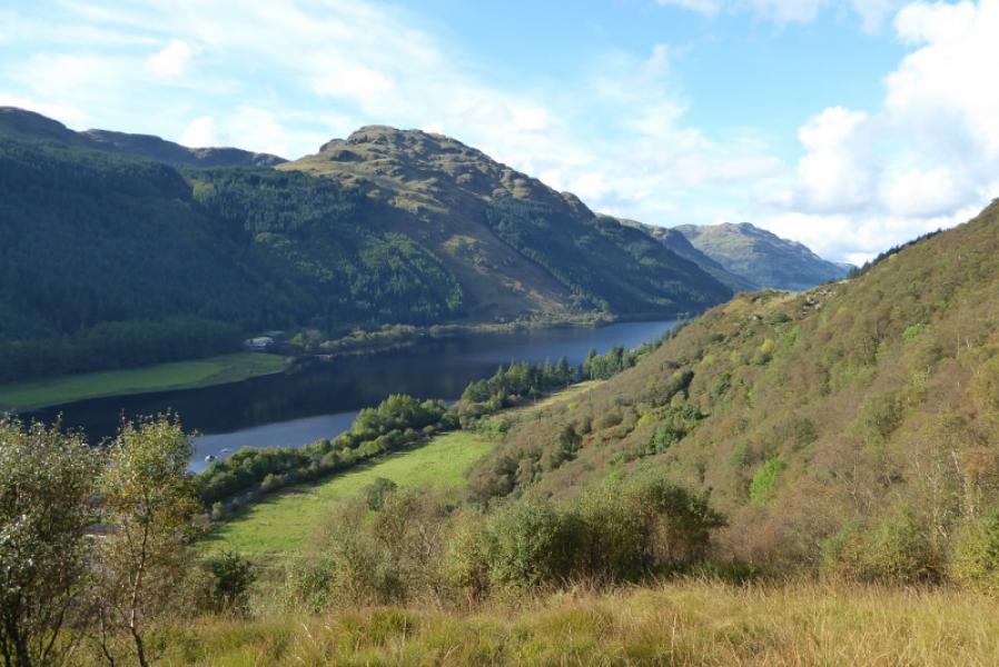
Beinn Ruadh dominates the eastern side of Loch Eck and is very steep sided down to the loch. It's crest is more gentle though once it is reached! On a clear day, there are good views especially to Clach Bheinn, Beinn Mhor and Beinn Bheag across the loch. On 25/9/17, the usual waymark posts were laid on the ground but that part of the route is easy to follow anyway. The many crags are easily outflanked and much of the steep ground can be traversed to ease the gradient.
Route
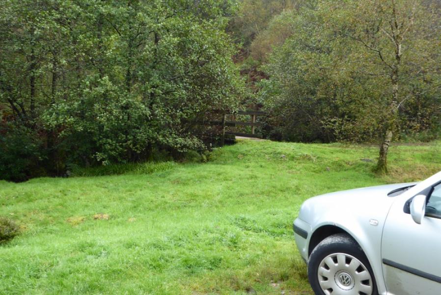
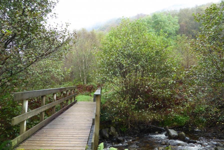
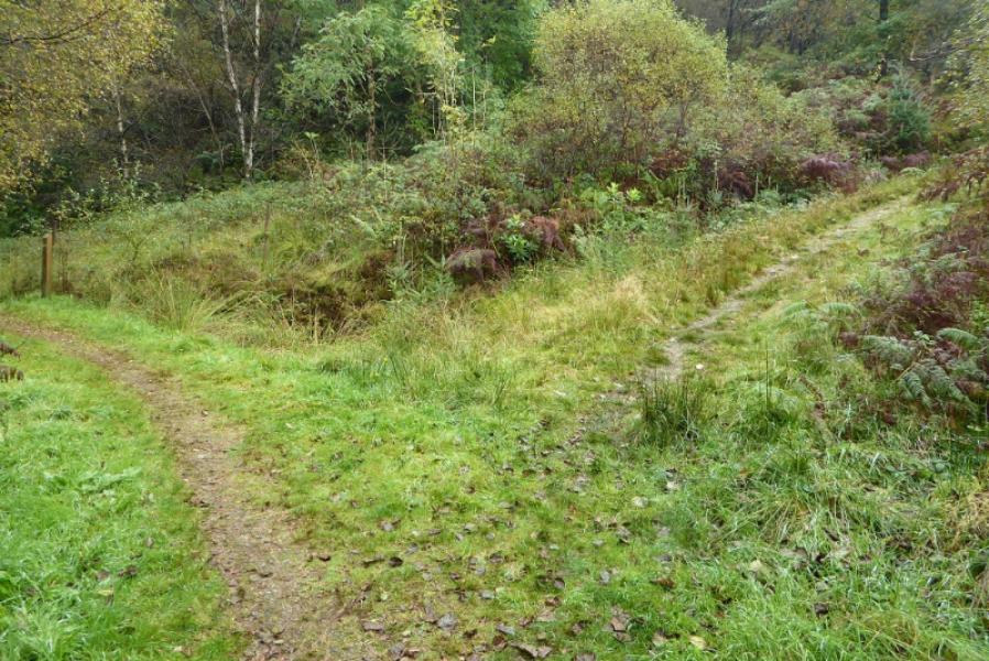
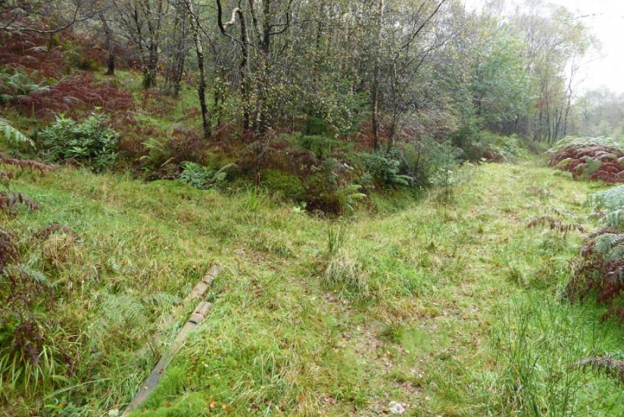
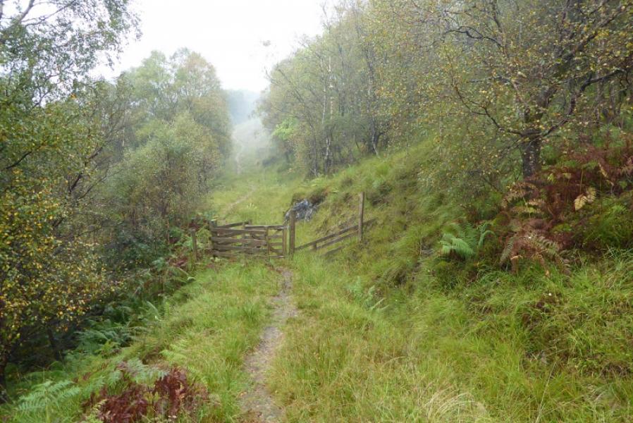
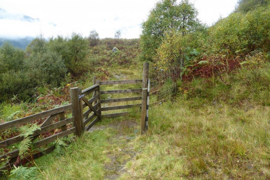
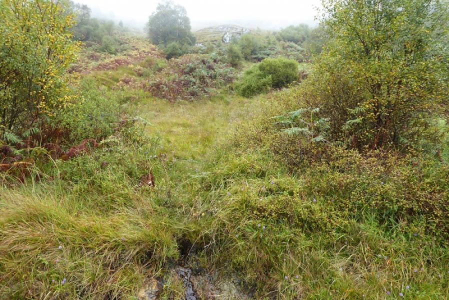
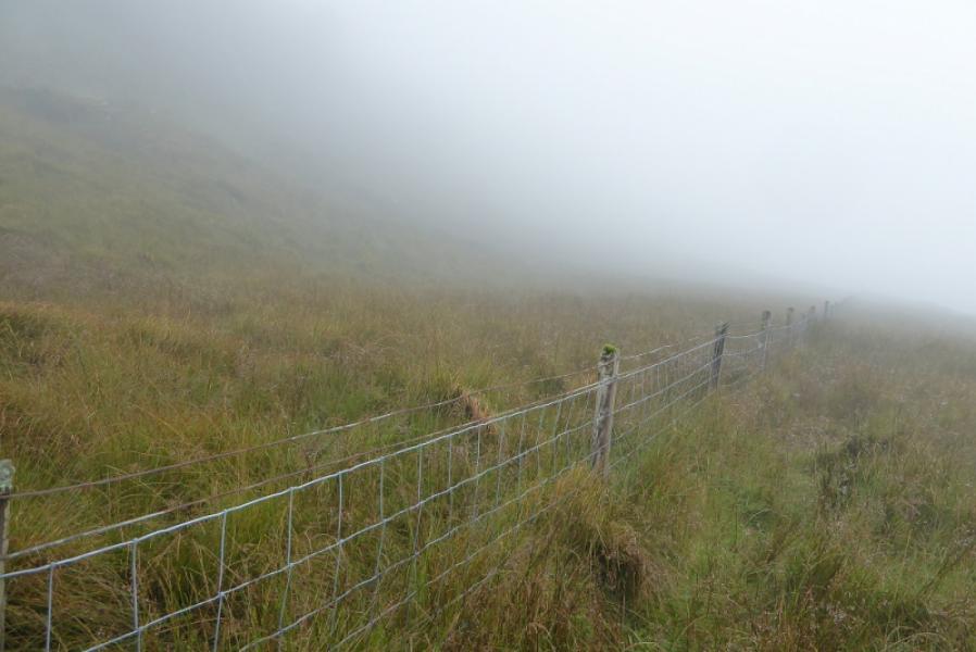
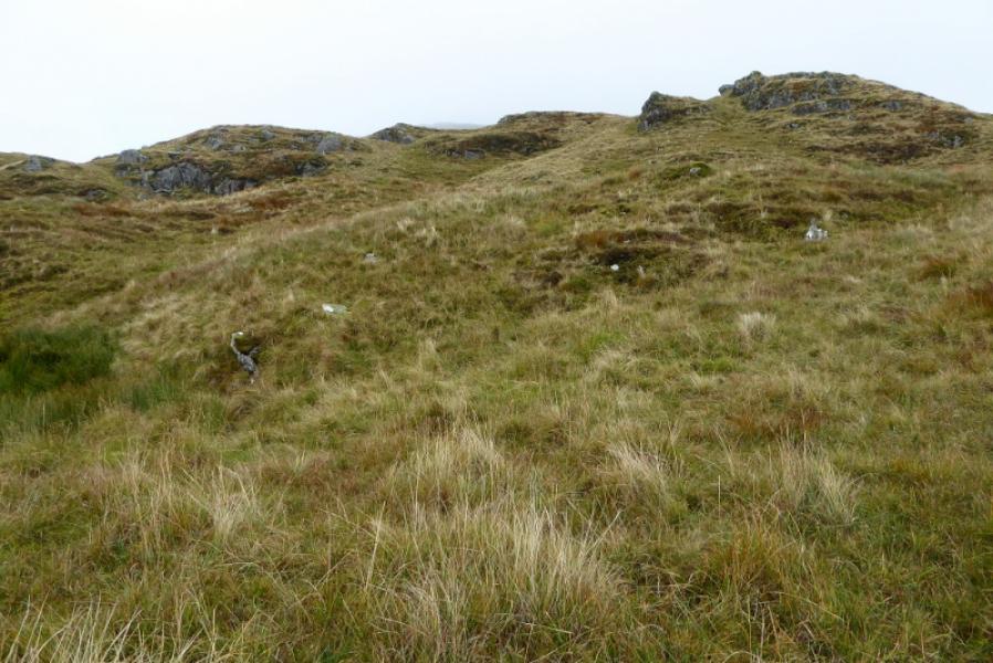
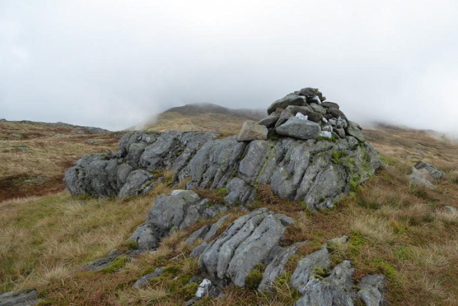
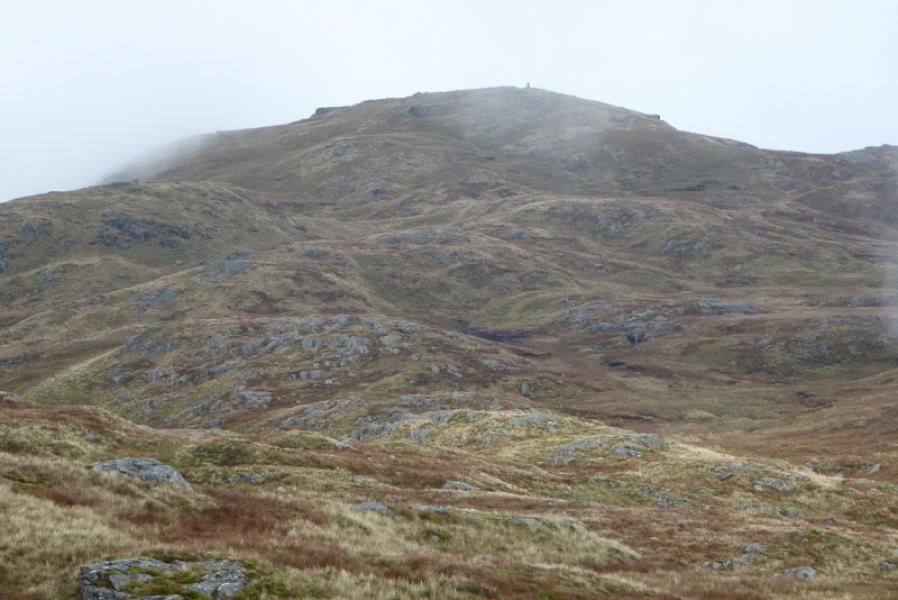
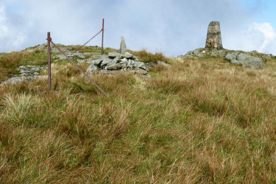
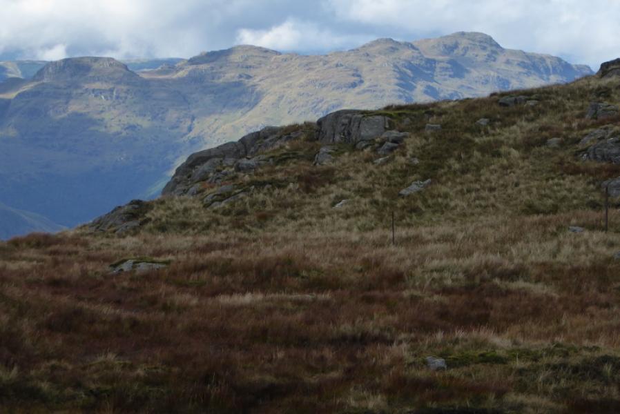
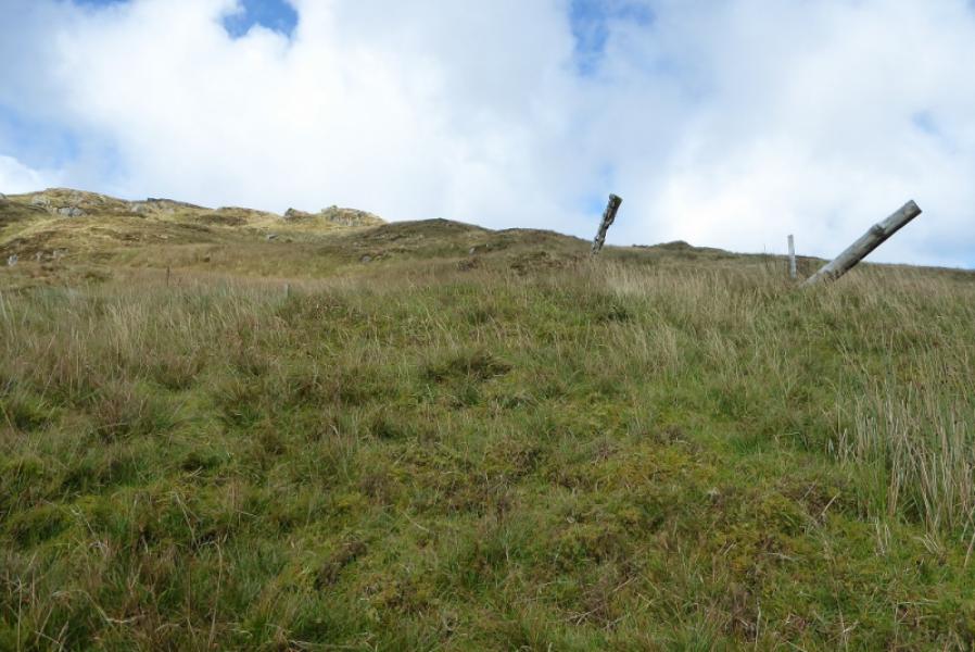
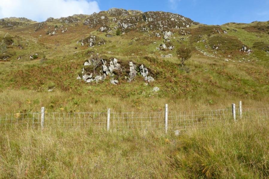
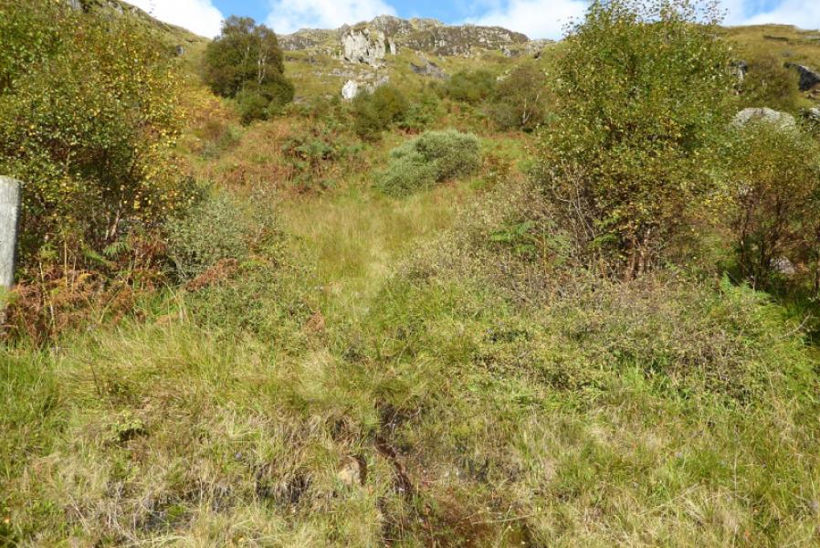
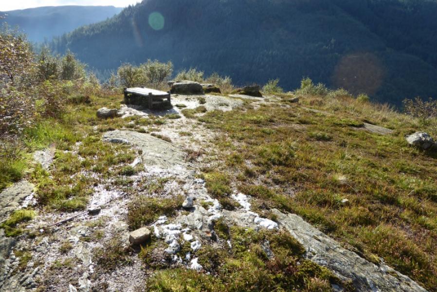
(1) Cross the footbridge by the car park. Almost immediately, turn right onto a fainter path (this is before the gate) and follow it as it ascends gently by the side of the stream just crossed. At the first path junction after about 300 m, another path goes off left (it is easily missed). Follow this path which zig zags up. Just after passing through a kissing gate, it joins a wider path which is actually the path left earlier by the stream). Turn left and continue to a second kissing gate. If one were to go through it, the viewpoint would soon be reached. Just before the gate, a very faint path goes steeply uphill. Follow this. Soon, easier ground, but just as steep, lies to the right. Continue up on the faintest of paths. Reach a low fence which must be crossed. You should be about 50 m to the right of a fence junction if you have followed the faint path correctly. An old metal gate is also nearby. Continue up but start drifting to the right to outflank the crags and also to ease the gradient slightly. Eventually, go around the crags, crossing a small stream on the way, to reach the S ridge which seems to have a few branches! On 25/9/17, there was a cluster of 3 old fence posts about where the ridge is gained. Follow the ridge north. It is fairly featureless. Eventually reach Pt 620 (1:50 000 map) where there is a reasonably sized cairn and another on a knoll close by. If it is clear, the summit will be seen from here. Continue, losing some height but there is no real col. A line of old metal fence posts will have joined the ridge at about Pt 620 and these lead to the summit with a faint path close by them. There is a small cairn and trig point marking the summit of Beinn Ruadh, 664 m.
(2) Retrace the outward route.
Notes
(a) This walk took place on 25th September, 2017, and on 18th February, 2004.
Photos - Hover over photo for caption. Click on to enlarge. Click on again to reduce.