Get Lost Mountaineering
You are here: Scotland » 01 South of Oban to Stirling and Fife » Dunoon, Lock Eck and Lochgoilhead
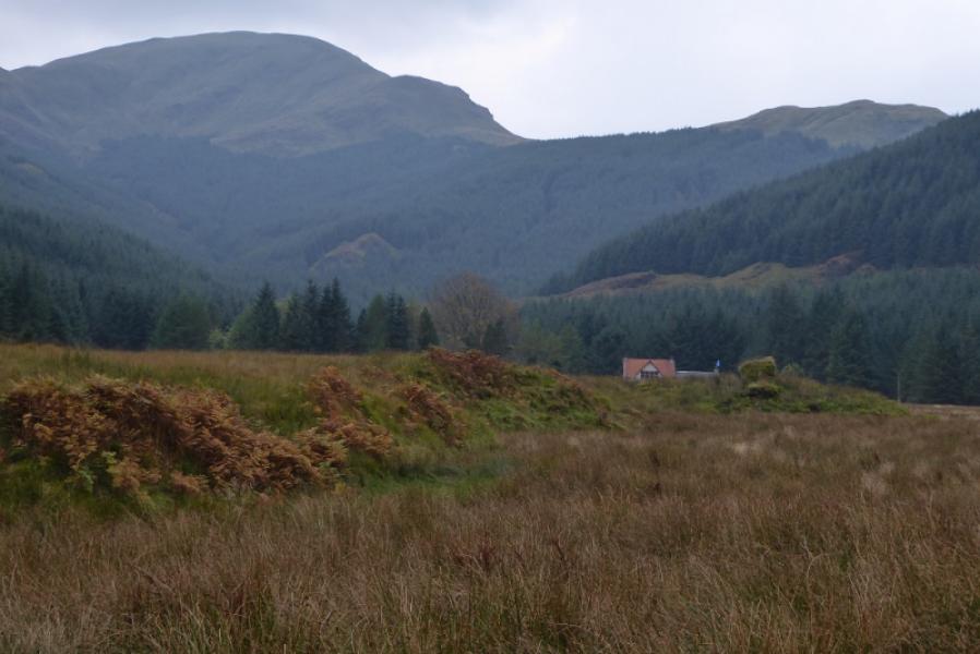
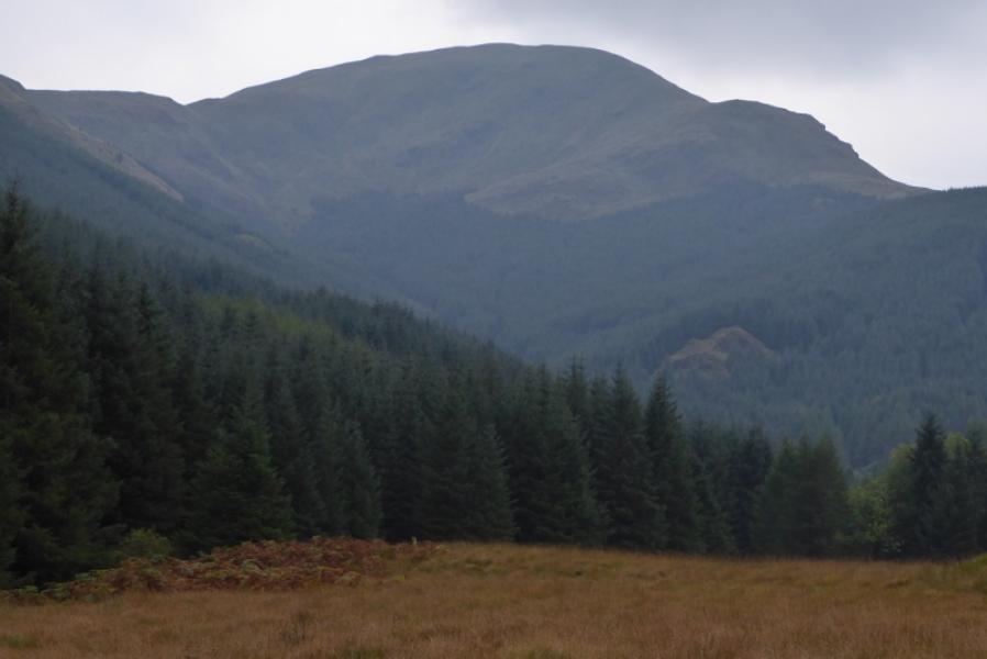
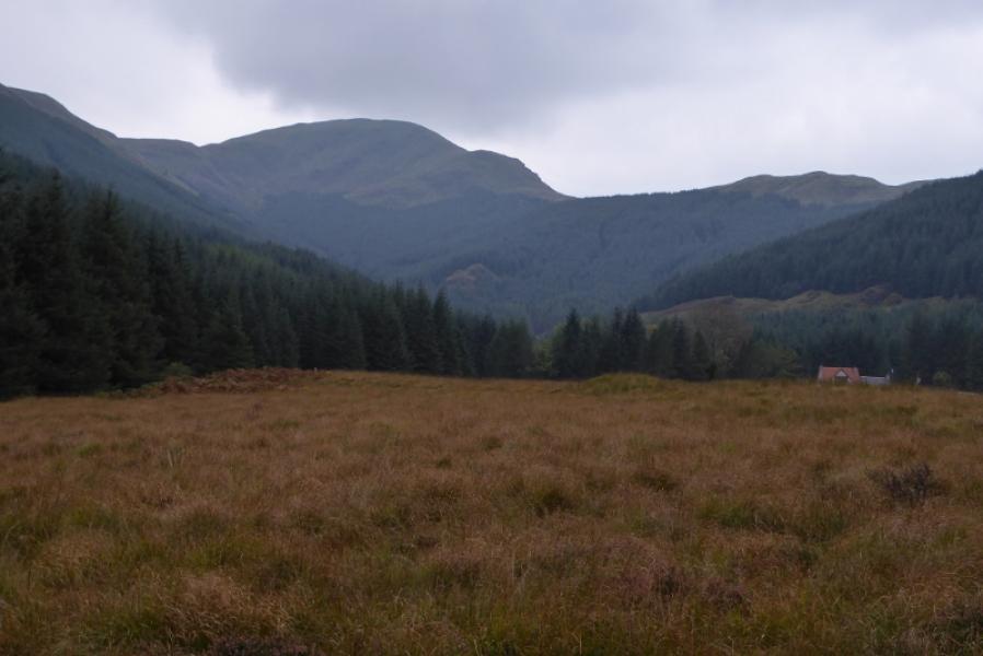
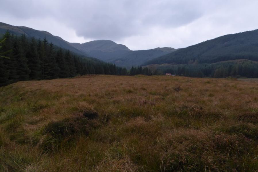
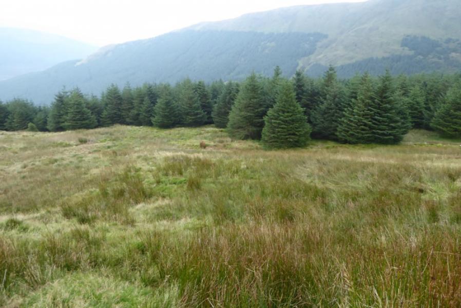
Cruach nan Capull from near Corrachaive
Cruach nan Capull from near Corrachaive
Start/Finish
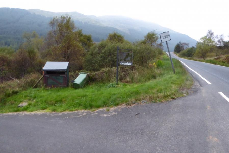
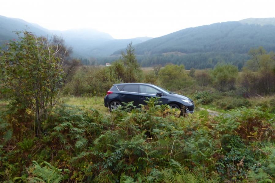
Start of track for Corrachaive (sign) on B836 road which leaves A815 about 4 miles north of Dunoon. The B836 is signed for Colintraive and the Corrachaive track is about 3 miles down the B836. The post code for Corrachaive is PA23 8RG. There is parking for one car just inside the track otherwise park sensibly on the road.
Distance/Time
8 km. About 4 hours.
Peaks
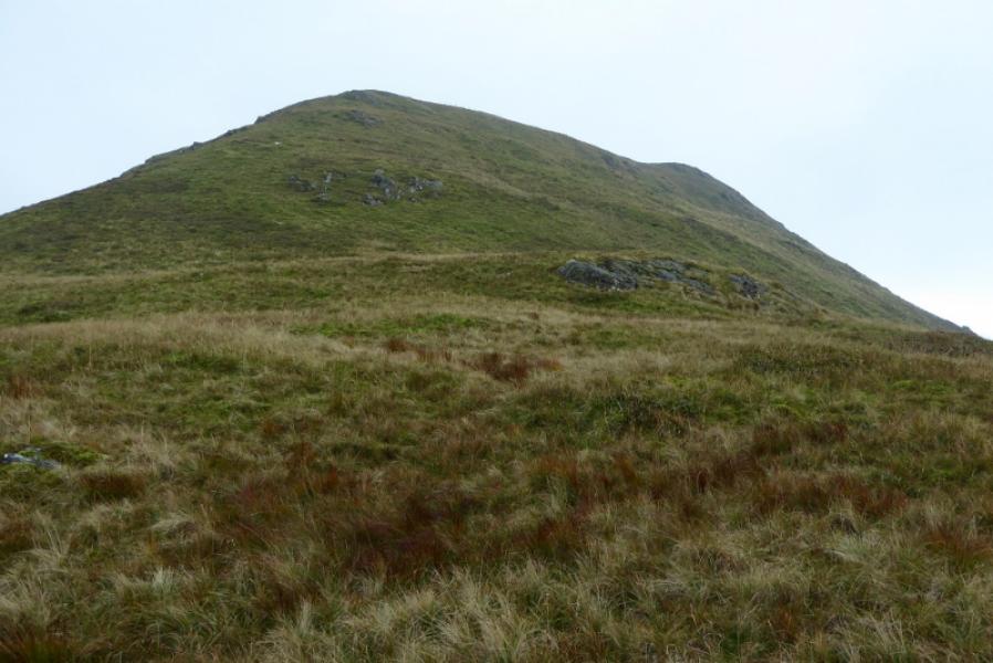
Cruach nan Capull, 611 m, NS 095 795. OS Sheet 63: Firth of Clyde.
The first few metres of the track are actually on Sheet 56: Loch Lomond but this extra map isn't really needed.
Introduction
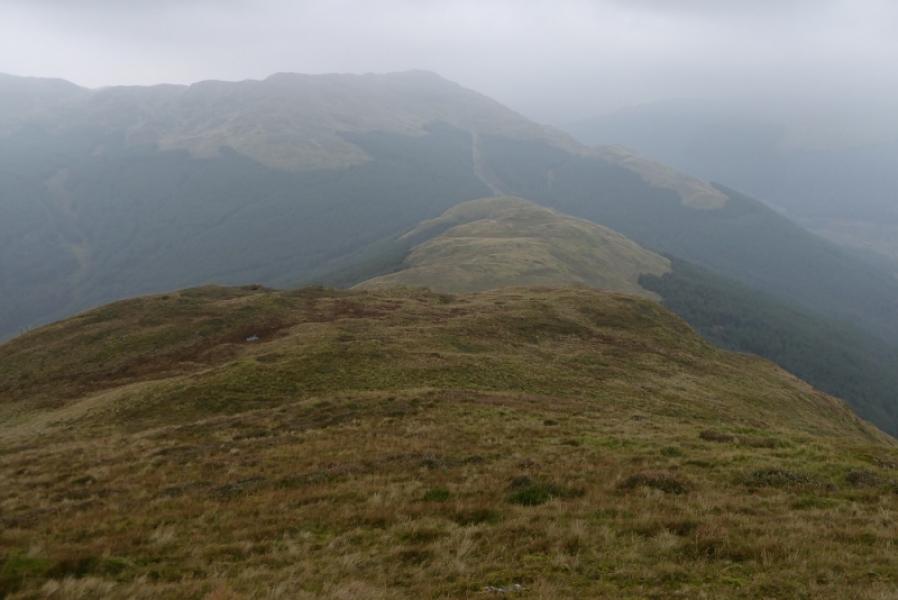
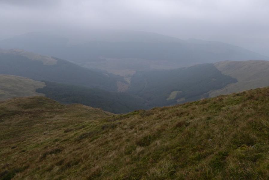
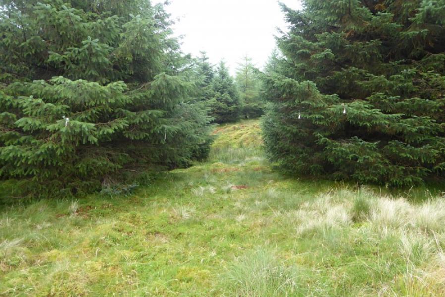
This is a fairly short walk although it does go through a mature forest on a path/track which is faint in places and the open ground above is moderately steep and rough. On a clear day, there are good views to surrounding, slightly lower hills. Locating the way back into the forest may be tricky for some so a GPS might be advisable to mark the point of entry when the forest is exited. Some of path/track up through the forest is very boggy in a few places but it is easy to go into the trees, now very mature, to go around these sections.
Route
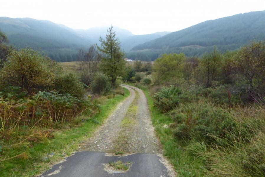
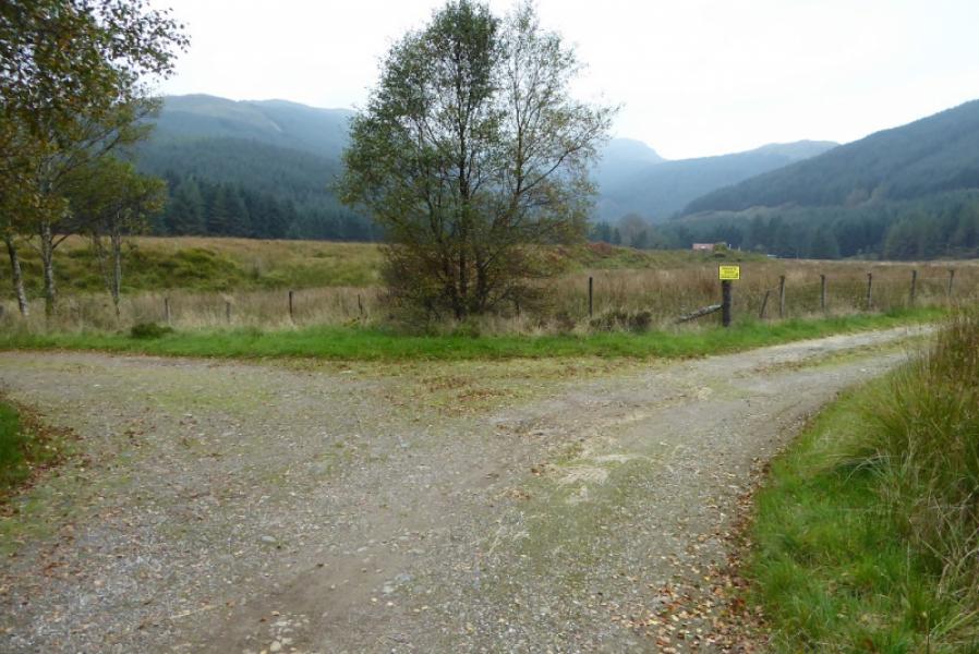
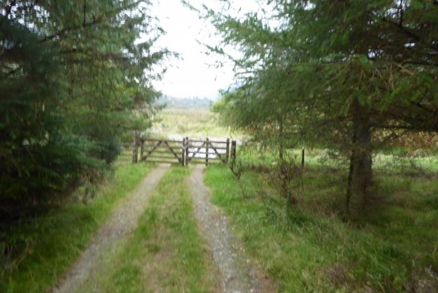
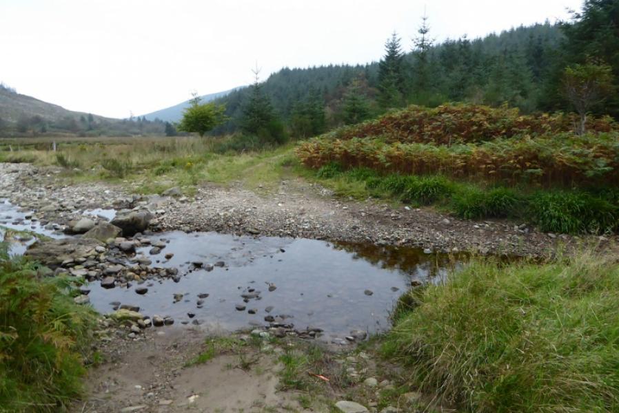
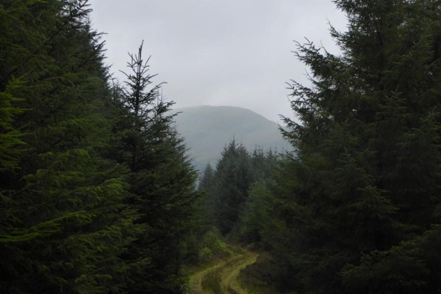
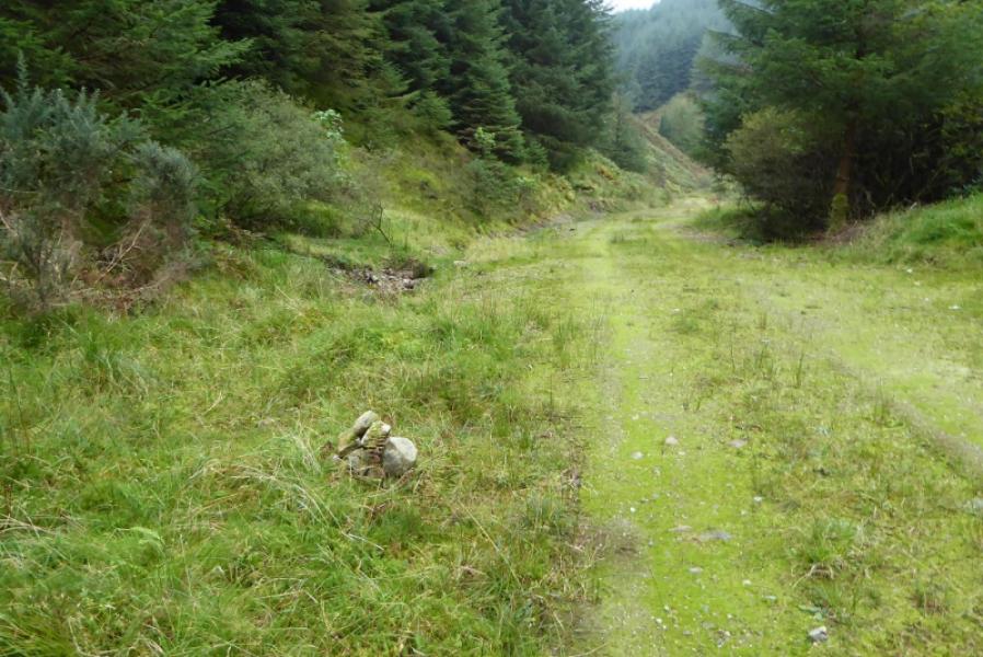
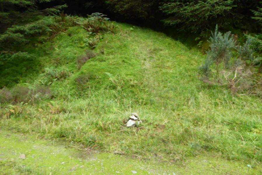
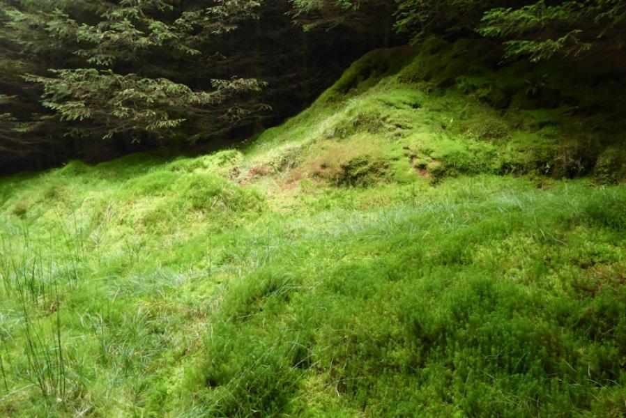
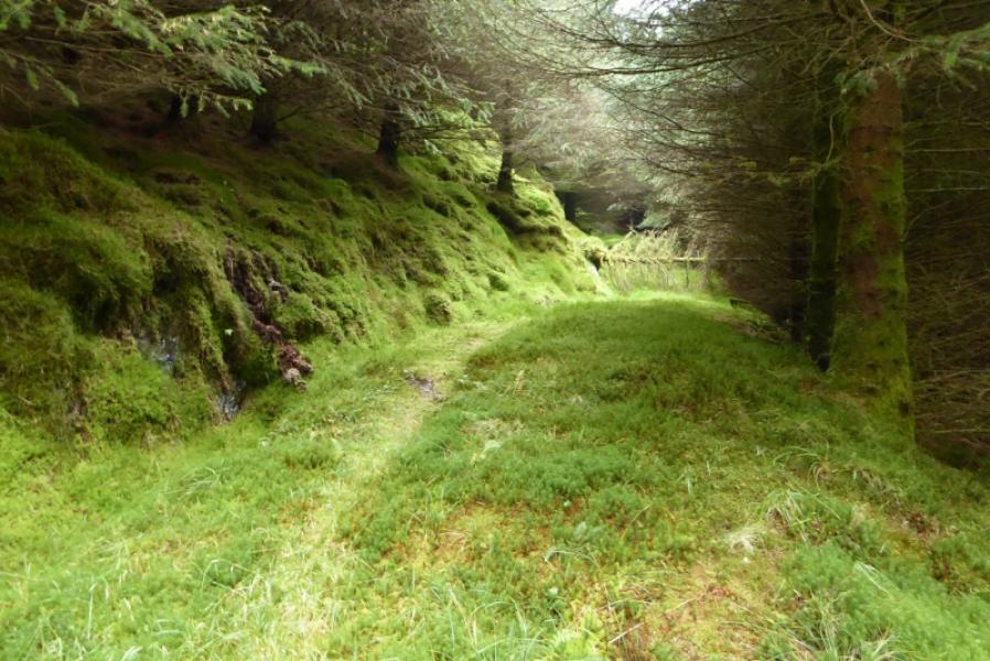
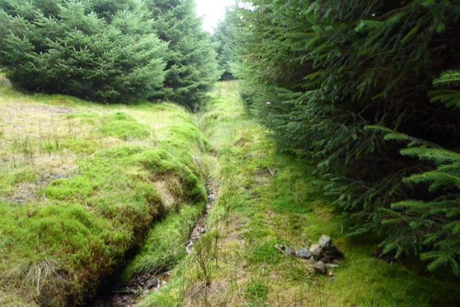
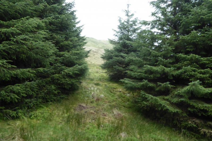
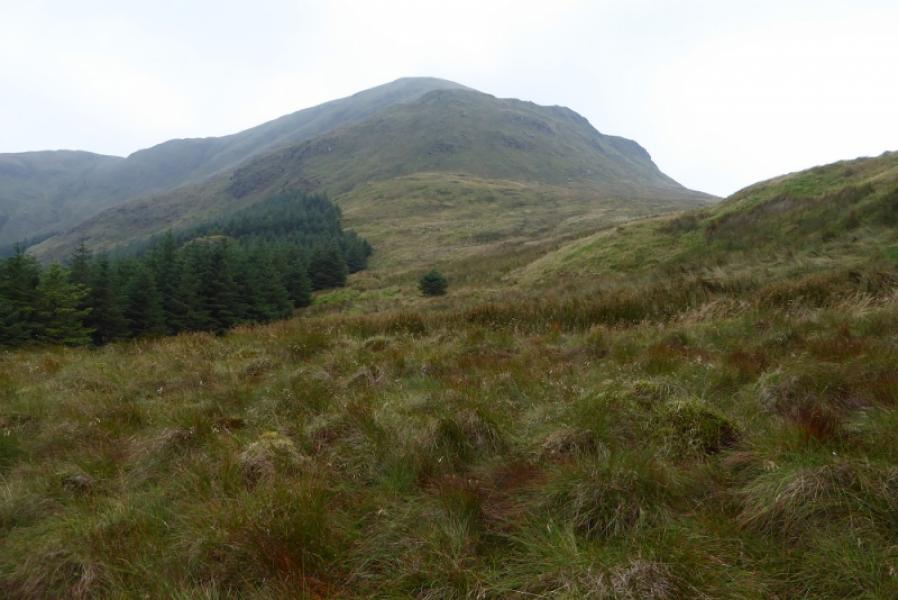
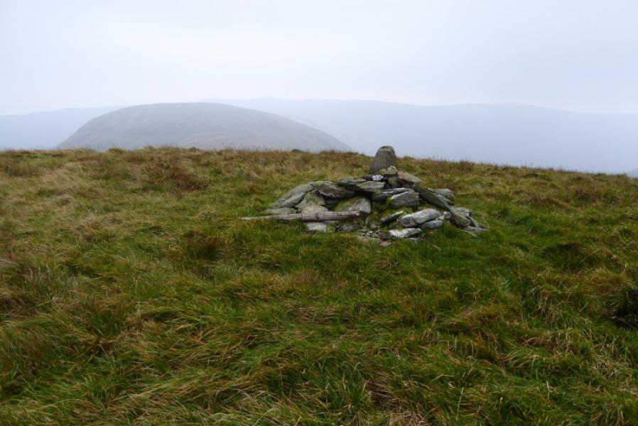
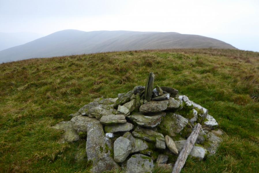
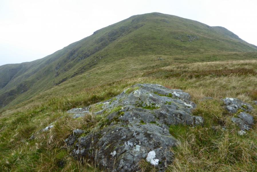
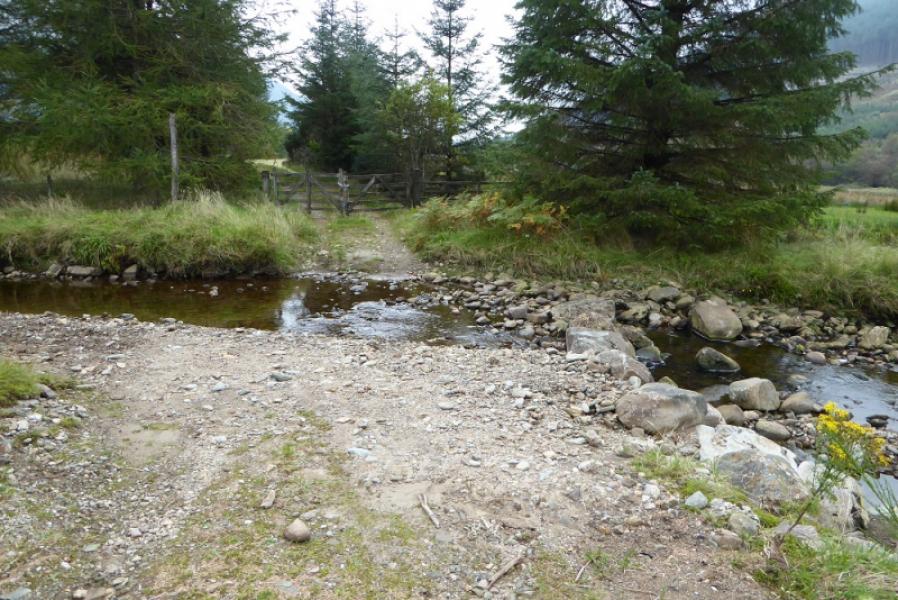
(1) Follow the track towards Corrachaive. Soon reach a junction. Go left. Soon reach a gate which has to be climbed over (about a metre high). Almost immediately cross a stream, usually without difficulty although could be a problem after heavy rain. Follow the track, mainly S. It enters the forest. If clear, there will be glimpses of Cruach nan Capull ahead. The track crosses several minor streams before crossing a major one as it turns W. Continue. The track starts to ascend. At the highest point, there is a tiny cairn on the left indicating the start of the path/track up through the forest. Without this cairn, the path/track is not at all obvious but it makes a gentle rising traverse left to begin with and soon looks like an old track. Follow it up with several changes in direction some of which are not that obvious so don't lose concentration. In places the path is quite faint but becomes more distinct soon after. Just before the forest is exited, there is a tiny cairn on the right of the track. Continue ahead here and the way out of the forest will be obvious. Note this point carefully. On 27/9/17, there was some tape on some of the branches of the last tree and on a few other trees between here and the last cairn. You should now be below Mid Hill on its E side. The ground is quite rough so gain some height then head S towards Cruach nan Capull which will be obvious in clear weather. A line of old fence posts will be seen coming in from the W side of Mid Hill and heading up Cruach nan Capull. They actually go very close to the summit but don't follow the best route so just use them as a guide and pick a way up the moderately steep S ridge of Cruach nan Capull with not much hint of a path until higher up. Converge with the fence posts higher up and reach the medium cairn which is the summit of Cruach nan Capull, 611 m.
(2) Retrace the outward route taking great care to find the path through the forest.
Notes
(a) This walk took place on 27th September, 2017, and on 22nd February, 2003.
(b) Forestry clearing to the east of Corrachaive may offer easier access from the B836. On 27/9/17, there was a track going in and much of the forestry blocking access to the north east ridge of Cruach nan Capull seemed to have been cleared.
Photos - Hover over photo for caption. Click on to enlarge. Click on again to reduce.