Get Lost Mountaineering
You are here: Scotland » 17 Islands » Mull
Dun da Gaoithe via Scallastle Forest
Dun da Gaoithe via Scallastle Forest
Start/Finish
Anywhere between Upper Achnadroish turning (1.5 m south of Craignure on A849) and Scallastle Forest Walk car park about 600 metres N of Craignure Pier. This is because the walk returns along this stretch of road. To split the road walking, park in the Craignure car park. If using two cars, place one at each end to save about 4 km of road walking.
Distance/Time
17 km. About 6 – 7 hours.
Peaks
Dun da Ghaoithe, 785 m, NM 672 362. OS sheet 49: Oban & East Mull.
Introduction
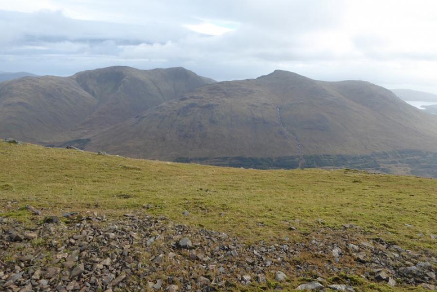
Dun da Gaoithe is the prominent hill seen looking out from Oban Harbour with Sgurr Dearg being to its left. Being above Craignure, it is well seen as the Oban ferry comes into Mull. This is a circular which makes use of the forestry walk/track through Scallastle Forest before a rough ascent up the Maol nan Damh ridge followed by a descent via the South Top (Trig point) eventually reaching the track down from the two masts. This is quite an exposed mountain and can be very unpleasant when a storm comes in off the Atlantic. The final part of the ascent to Dun da Gaoithe needs care in mist as some steep and stony slopes (slippery when wet) are best avoided.
Route
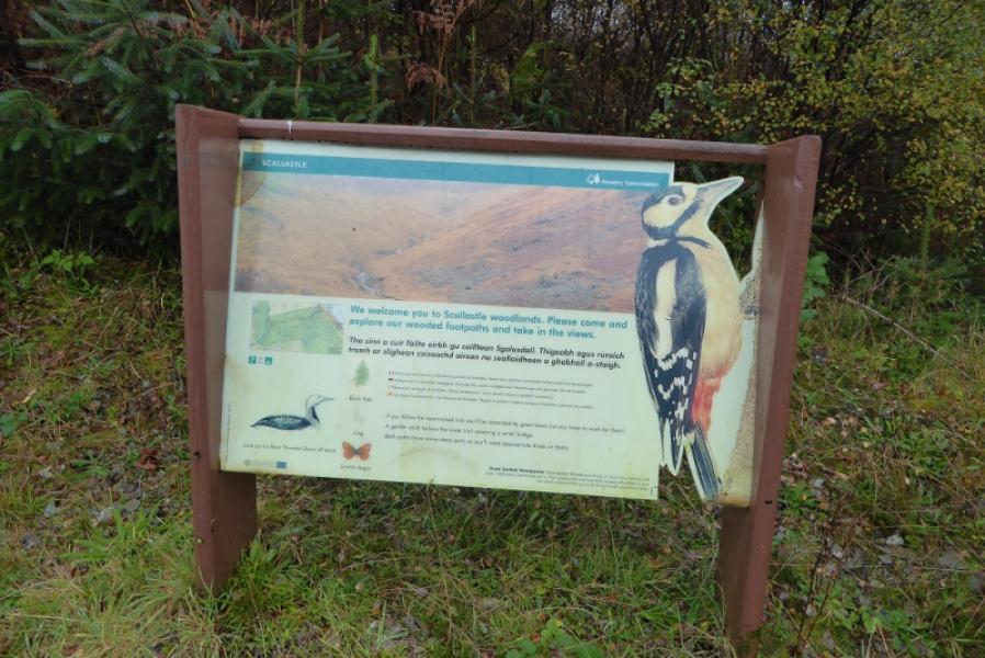
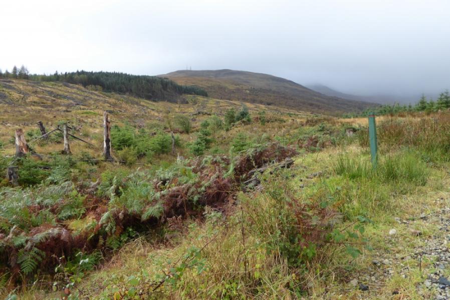
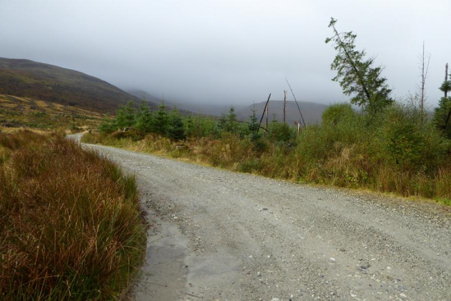
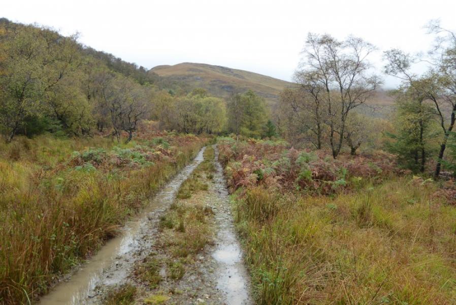
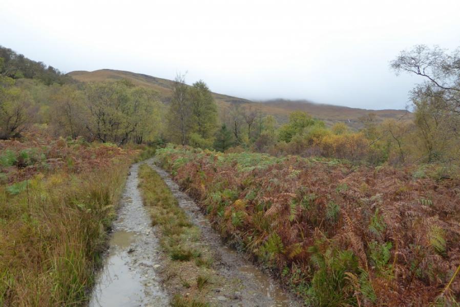
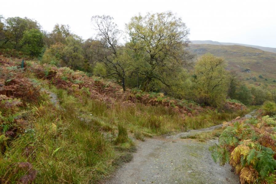
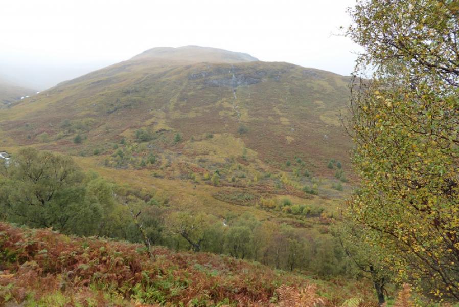
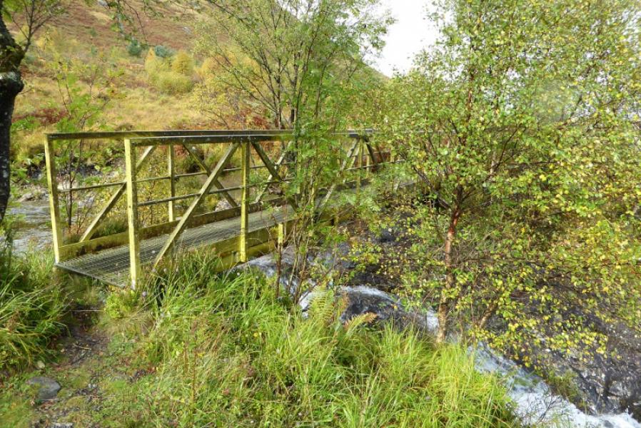
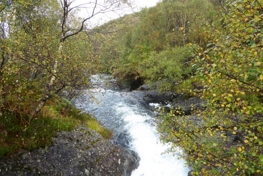
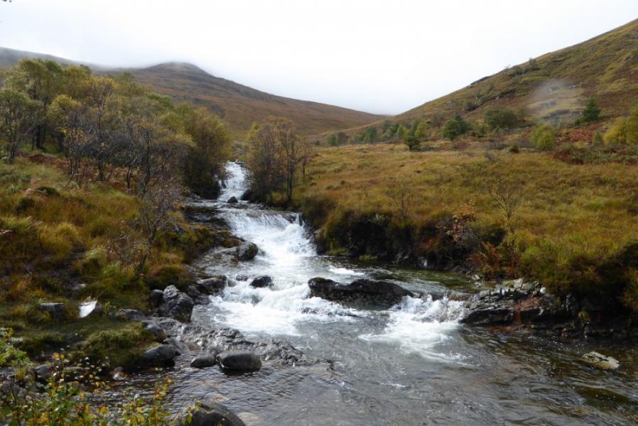
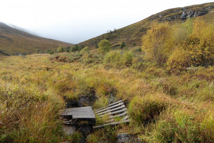
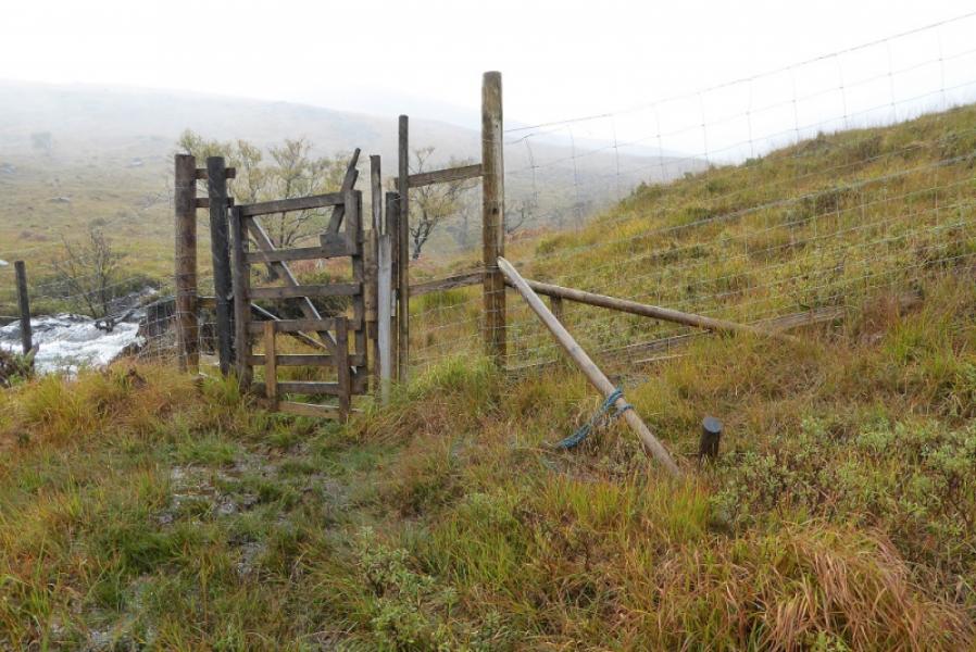
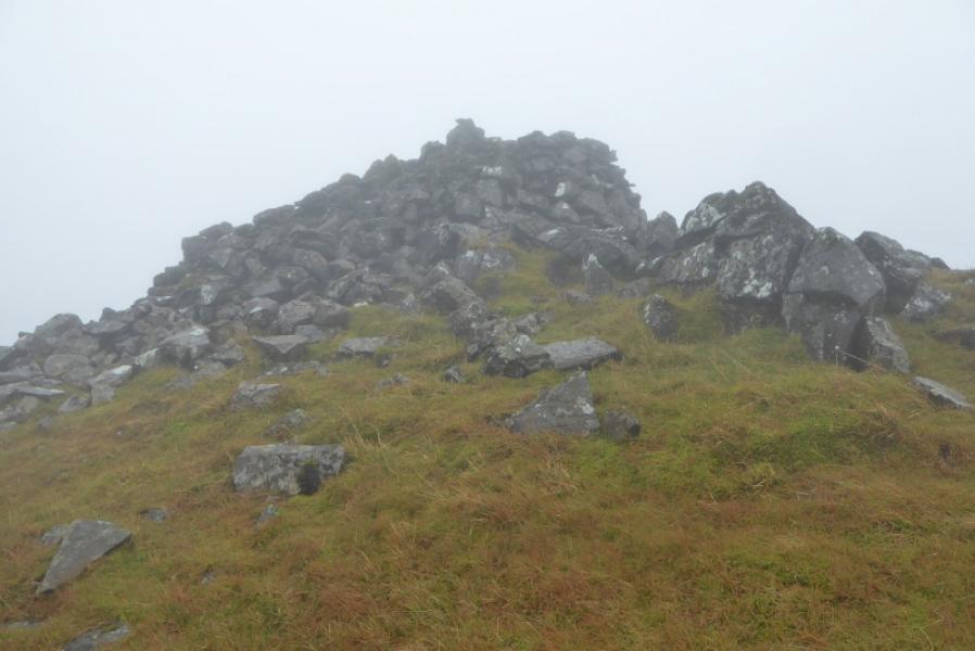
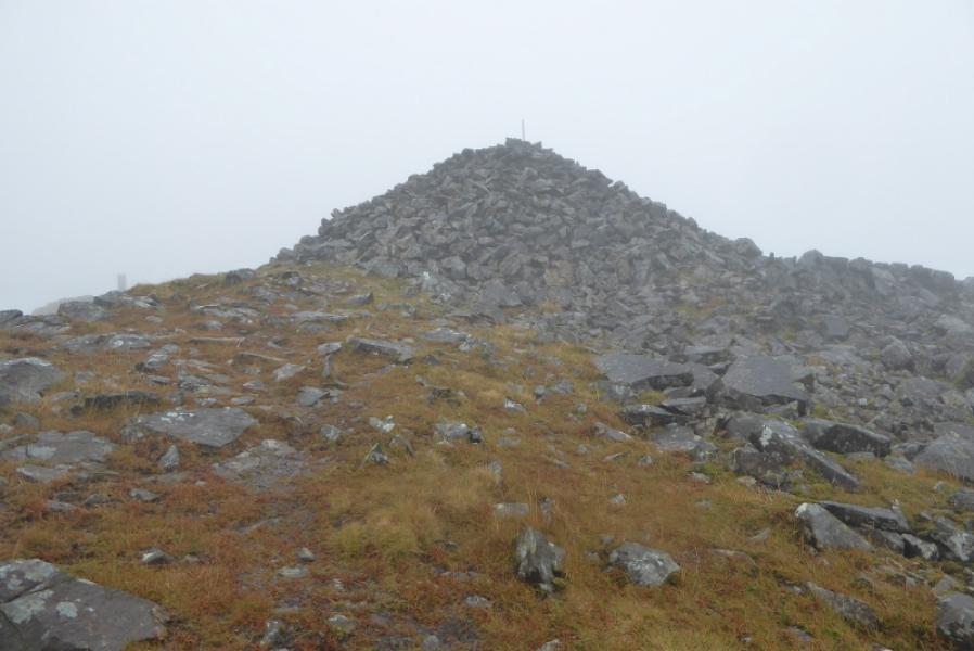
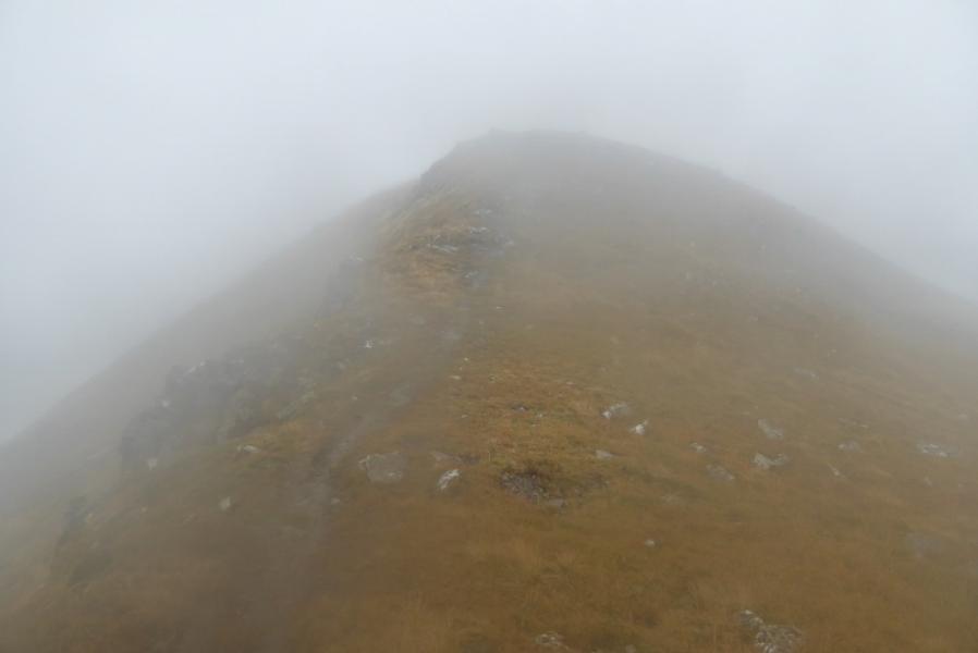
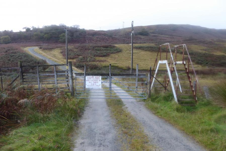
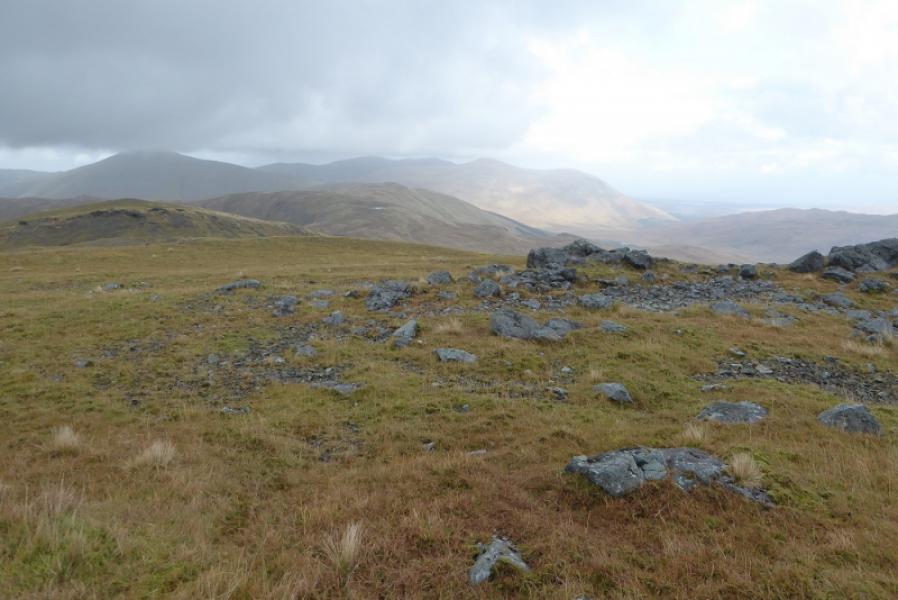
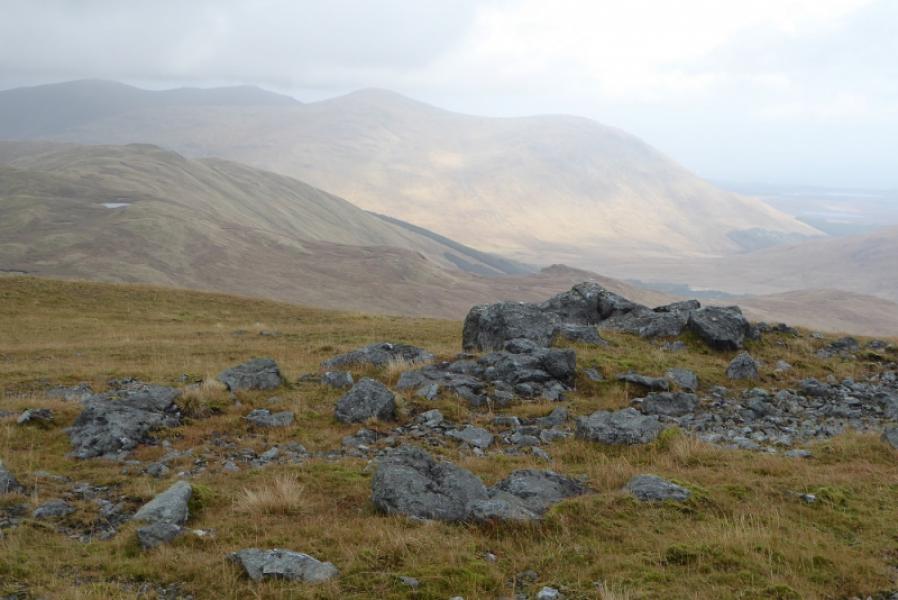
(1) Follow the signed track in off the road. Very soon, the car park is left and the forestry track right. Follow the track with the occasional way mark. The forest is much more open than some maps suggest and there are good views ahead to the hills and behind to the sea. Pass a sign and a picnic table then reach where a path splits off left. Take either route but the upper one offers better views. Follow the upper path to reach a bench where the path descends to the river and becomes a rough and loose track. Cross the bridge then go almost immediately left on an old rough path through deep grass. If taking the lower path, follow it by the river to here. Follow the rough path to a gate in a deer fence; the gate opens by lifting one of the horizontal beams! Soon after, start to climb the moderately steep slopes on the right. Weave around to find the best ground. There is hardly any hint of a path and it can be hard going. The angle eases at about 400 m. Just over a km further, there is scree ahead topped by crags. It is best to go to the right, N, here to outflank them before picking a way up steepish grass to join the N ridge. Follow this S to reach a massive cairn which is the summit of Dun da Ghaoithe, 785 m. Even in thick mist there should be no doubt that this is the summit.
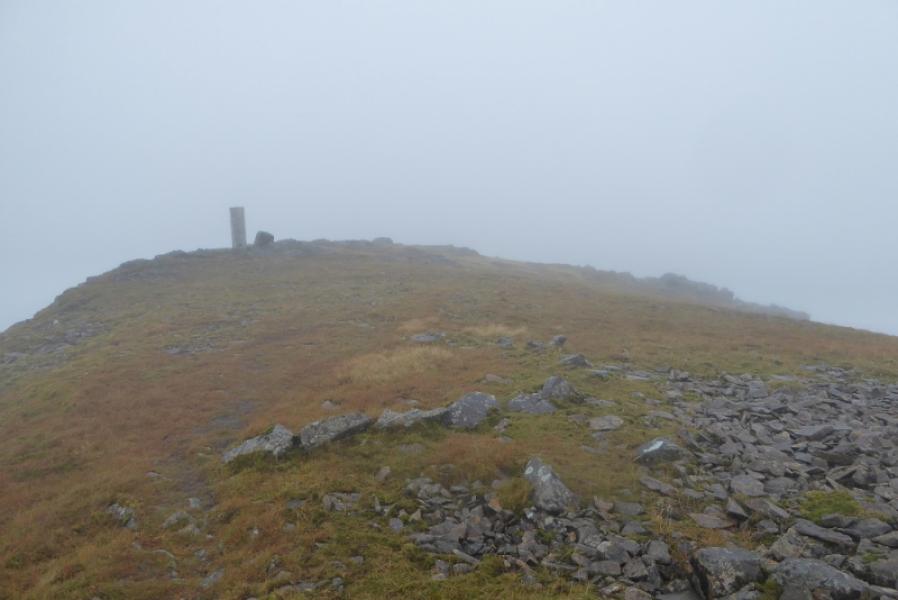
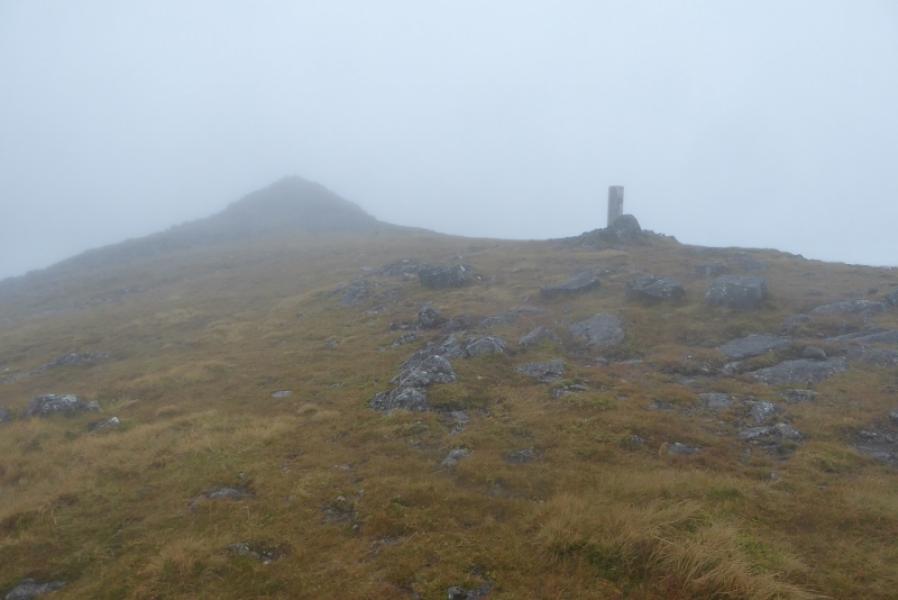
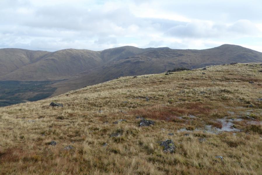
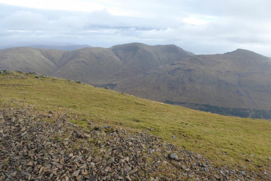
(2) Descend S keeping the edge on your left. A path will soon appear and this gradually curves around to SSE. Cross a dip then continue up to reach a similarly massive cairn with a trig point just beyond it. This is the SSE Top which might also be called Mainnir nam Fiadh. The path continues from here, gradually curving around to the E. In places the path is very obvious but it does occasionally vanish so care is needed in mist. About a km beyond the S Top, the edge is left and one continues roughly E on the broad and ill-defined ridge. After about another km, the ridge turns NE and soon reaches a mast where a track takes over. This track can be followed down to the lower mast then down to the house at Upper Achnadroish after crossing a high stile with good steps. The track then becomes a tarmac road (slippery when wet) and soon reaches the main road. Turn left and follow the road back to Craignure.
Notes
(a) This walk took place on 7th October, 2017. Dun da Gaoithe was also climbed on 12th April, 1994, when it was ascended and descended by the mast track from Upper Achnadroish.
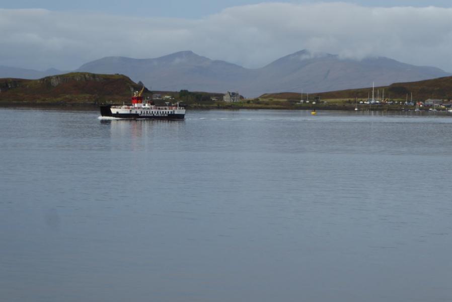
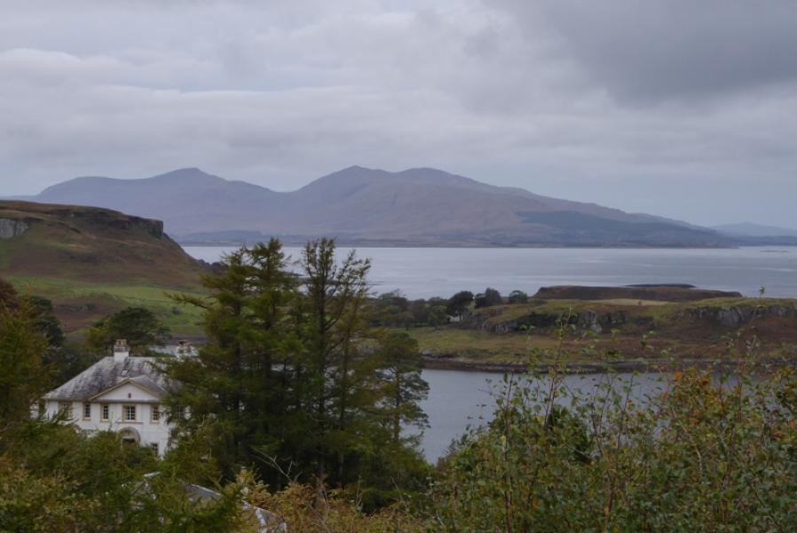
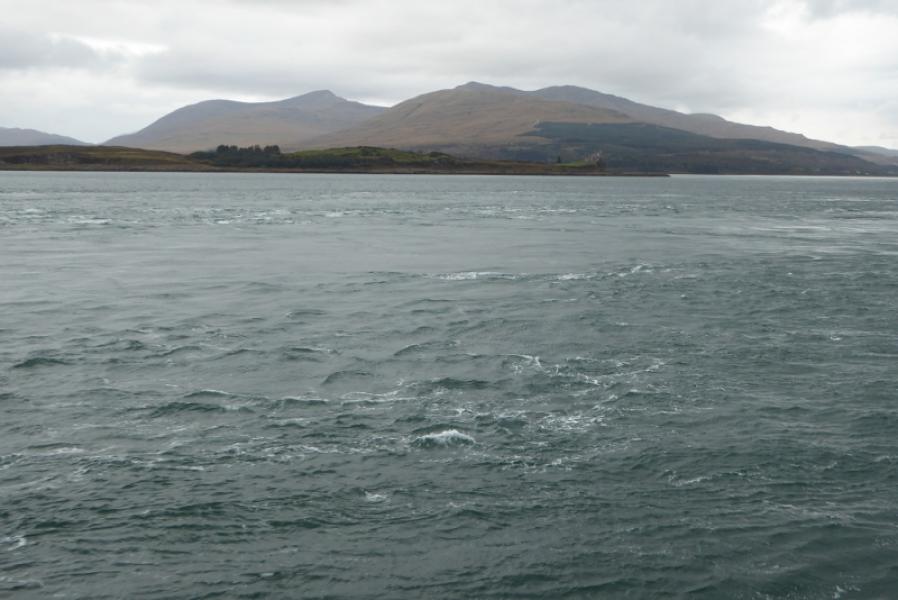
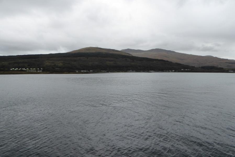
Photos - Hover over photo for caption. Click on to enlarge. Click on again to reduce.